The best walks and hikes around The Municipal District of Clane — Maynooth
4.7
(64)
1,318
hikers
49
hikes
Hiking around The Municipal District of Clane — Maynooth offers a diverse landscape characterized by tranquil waterways, lush parklands, and historic estates. The region features a network of well-maintained trails along the Royal Canal and River Liffey, providing accessible paths for various skill levels. While generally flat with a relative lack of significant hills, the area includes extensive forest parks like Donadea and scenic routes within historic properties such as Carton House. These features combine to create an appealing destination for outdoor activities, blending natural beauty with historical interest.
Best hiking trails in The Municipal District of Clane — Maynooth
- The most popular hiking route is The Carton Trails: Red, an easy 2.7 miles (4.3 km) trail that takes 1 hour 22 minutes to complete, offering hikes amidst historic landmarks and opportunities for spotting wildlife.
- Another top favourite among local hikers is Donadea Forest Park, an easy 3.5 miles (5.6 km) path. This route traverses an extensive forest park, featuring historical landmarks such as Donadea Castle Ruins.
- Local hikers also love the Royal Canal Greenway, an 8.0 miles (12.8 km) trail leading through picturesque towpaths along a significant waterway, often completed in about 3 hours 52 minutes.
- Hiking around The Municipal District of Clane — Maynooth is defined by tranquil waterways, lush parklands, and historic estates. The network offers options for different ability levels, from gentle strolls to longer excursions.
- The routes in The Municipal District of Clane — Maynooth are highly rated by the komoot community with an average score of 4.5 stars from over 20 reviews. More than 470 hikers have used komoot to explore The Municipal District of Clane — Maynooth's varied terrain.
Last updated: July 8, 2026
5.0
(1)
65
hikers
4.31km
01:22
40m
40m
Easy hike. Great for any fitness level. Easily-accessible paths. Suitable for all skill levels.
5.0
(3)
50
hikers
5.59km
01:26
20m
20m
Easy hike. Great for any fitness level. Easily-accessible paths. Suitable for all skill levels.

Sign up for free
5.0
(1)
12
hikers
12.8km
03:52
20m
20m
Moderate hike. Good fitness required. Easily-accessible paths. Suitable for all skill levels.
2
hikers
5.53km
01:24
10m
10m
Easy hike. Great for any fitness level. Easily-accessible paths. Suitable for all skill levels.
28.3km
07:09
50m
50m
Hard hike. Very good fitness required. Easily-accessible paths. Suitable for all skill levels.
6.61km
01:42
20m
40m
Easy hike. Great for any fitness level. Easily-accessible paths. Suitable for all skill levels.
4.6
(7)
60
hikers
Easy hike. Great for any fitness level. Easily-accessible paths. Suitable for all skill levels.
4.7
(6)
44
hikers
4.79km
01:14
30m
30m
Easy hike. Great for any fitness level. Easily-accessible paths. Suitable for all skill levels.
18
hikers
7.63km
01:56
20m
20m
Easy hike. Great for any fitness level. Easily-accessible paths. Suitable for all skill levels.
14
hikers
Easy hike. Great for any fitness level. Easily-accessible paths. Suitable for all skill levels.
Get access to more routes and recommendations from other explorers.
Sign up for free
Already have an account?
Our route recommendations are based on thousands of hikes, rides, and runs completed by other people on komoot.
Start today with a free account
Your next adventure awaits.
Login or Signup
Popular around The Municipal District of Clane — Maynooth
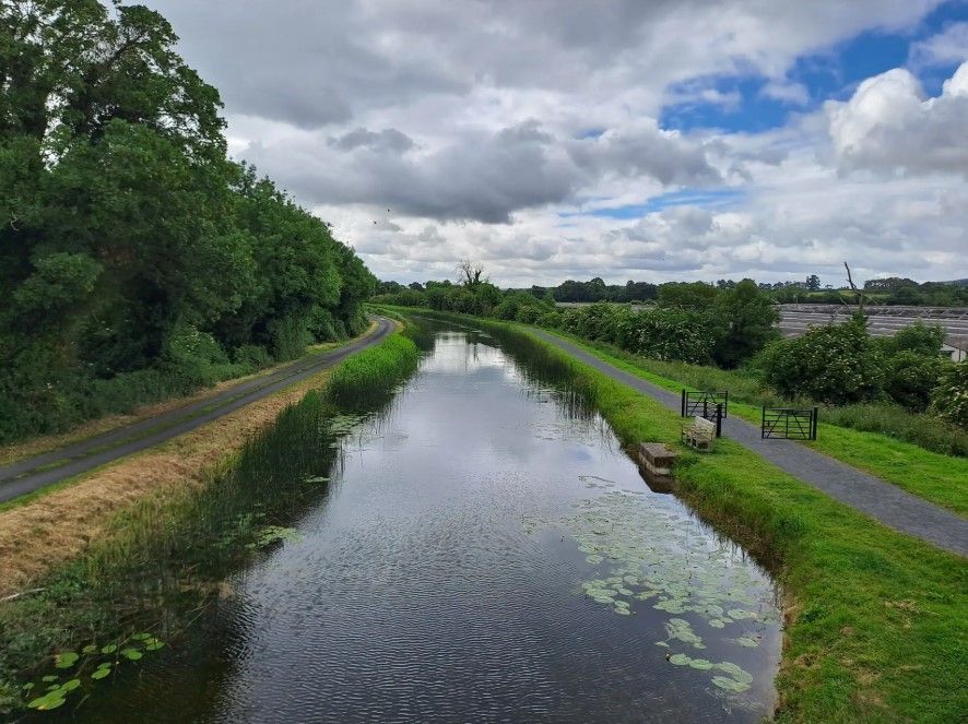
The Barrow Way — Walking Beside Quiet Waters

Ireland's blue rivers and lakes – walks along the water
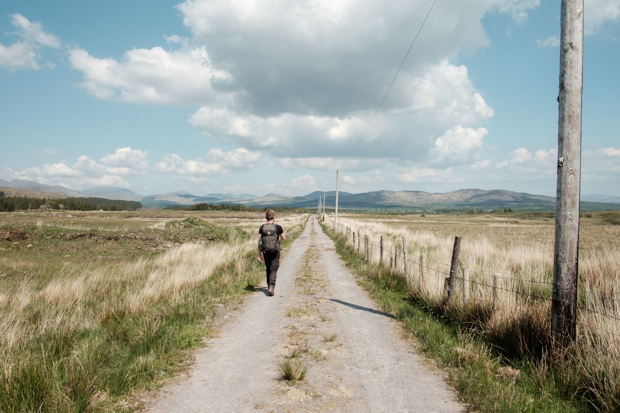
Irish wanderlust — 8 long-distance hiking trails on the Emerald Isle
Running Trails around The Municipal District of Clane — Maynooth
Road Cycling Routes around The Municipal District of Clane — Maynooth
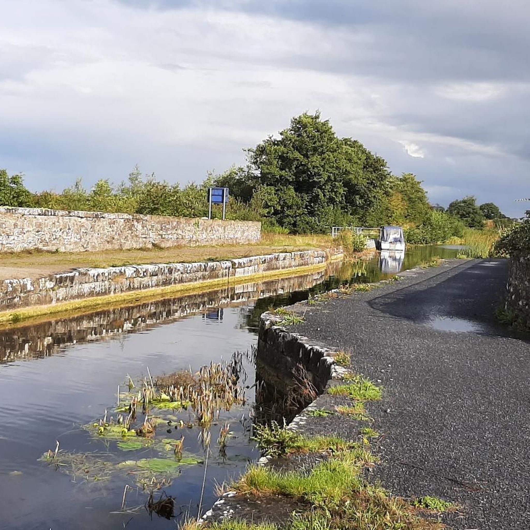
MTB Trails around The Municipal District of Clane — Maynooth
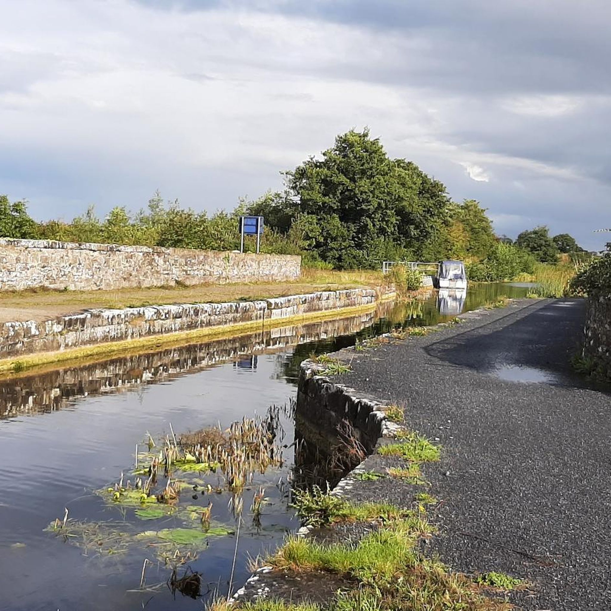
Cycling around The Municipal District of Clane — Maynooth
Gravel biking around The Municipal District of Clane — Maynooth
Other adventures around The Municipal District of Clane — Maynooth


Tips from the Community

The Barrow Line joins the River Barrow to the Grand Canal and onto Dublin. The Grand Canal was established in 1772 and the Barrow Line completed by 1791. Most commercial traffic shad stopped by the 1960s but the canal remains fully navigable and is popular with tourist boats.
0
0
Skeic Bridge crosses the northern arm of the Grand Canal Barrow Line, giving access to the island formed by the twin branches of the canal.
0
0

The Milltown Feeder stretch of the Grand Canal is one of the cleanest and most picturesque stretches of all. Its entire length is walkable and it was originally built as a water supply, rather than as a navigable section. However, it was once used by at least some boat traffic.
0
0
The Grand Canal is one of two major canals that connect Dublin with the River Shannon, along with the Royal Canal. At Milltown Bridge, its former glory can be appreciated in the form of a ruined mill building and the namesake 200-year-old single arch footbridge.
0
0
Ancient mills and a darkly named public house give this stretch of the Grand Canal a certain atmosphere. The Hanged Man's Pub & Restaurant is permanently closed at the time of writing (June 2026), though its not far to The Inn @ Milltown for those in need of refreshment.
0
0

Lowtown (Lock 19 on the Grand Canal) marks the official start point of the Barrow Way. It lies at the western end of the summit level of the Grand Canal - meaning it's near the highest point of the canal route before descending towards Shannon.
1
0

The 9/11 Memorial in the USA stands as a poignant tribute to the lives lost during the tragic events of September 11, 2001. Visitors to the memorial experience a profound sense of reflection and remembrance as they witness the enormity of the loss and the resilience of the human spirit. The memorial serves as a solemn reminder of the impact of that fateful day, honoring the victims and providing a space for contemplation and solace.
2
0
Pike's Bridge is just one thread in the tapestry of bridges that cross the Royal Canal. This sturdy structure boasts two arches. As you stand on Pike's Bridge, you can't help but appreciate the harmonious blend of function and form. It's a testament to human engineering and ingenuity, a place where the waterways and the railways converge, facilitating the flow of goods and people through Dublin's historic canal system.
2
0
Frequently Asked Questions
How many hiking trails are available in The Municipal District of Clane — Maynooth?
The Municipal District of Clane — Maynooth offers nearly 50 hiking trails. These range from easy strolls through parklands to more challenging, longer excursions along waterways. You'll find a diverse selection to suit various preferences and fitness levels.
Are there any easy, family-friendly walks in the area?
Yes, the region is well-suited for families with many easy trails. For instance, The Carton Trails: Red offers a gentle 4.3 km path within the historic Carton House Estate, perfect for a leisurely family outing. Another great option is Donadea Forest Park, which provides a 5.6 km easy route through scenic woodlands, where children can explore and discover the Donadea Castle Ruins.
What kind of landscapes can I expect to see while hiking here?
Hiking in The Municipal District of Clane — Maynooth features tranquil waterways, lush parklands, and historic estates. You'll encounter picturesque towpaths along the Royal Canal and River Liffey, extensive forest parks like Donadea, and scenic routes within properties such as Carton House. The area is generally flat, offering pleasant walks through open plains and alongside various water features.
Are there any circular walks available?
Yes, there are several circular walks. For example, the Donadea Castle Ruins – Donadea Coffee House loop from Donadea ED is an easy 4.7 km loop within Donadea Forest Park. Another option is the Pike's Bridge loop from Maynooth, an easy 7.2 km route that explores the local surroundings of Maynooth.
What historical landmarks or attractions can I see along the trails?
The region is rich in history. You can explore the Maynooth Castle ruins, a 12th-century castle at the entrance to Maynooth University. Within Donadea Forest Park, you'll find the charming Donadea Castle Ruins. The Royal Canal Greenway also features historic canal locks, such as the Canal Lock on the Royal Canal, offering glimpses into the area's past.
Are there any longer or more challenging hikes for experienced walkers?
While many trails are easy, there are options for longer walks. The Royal Canal Greenway offers a moderate 12.8 km trail along picturesque towpaths. For a more difficult and extensive challenge, consider The Barrow Way: Robertstown to Rathangan return, which spans over 28 km.
What do other hikers say about the trails in Clane — Maynooth?
The trails in The Municipal District of Clane — Maynooth are highly rated by the komoot community, with an average score of 4.5 stars from over 20 reviews. Hikers often praise the well-maintained paths, the tranquil atmosphere of the waterways, and the blend of natural beauty with historical interest found throughout the region.
Are there any trails that feature significant water features?
Absolutely. The region is known for its water features. The Royal Canal Greenway follows a significant waterway, offering scenic views along its towpaths. Maynooth itself boasts the Ryewater, River Lyreen, and lakes within Carton House, providing numerous opportunities for walks alongside rivers and canals. You can also find the Old bridge and boathouse on the River Rye as a highlight.
Can I access these hiking trails using public transport?
Many areas, particularly around Maynooth, are accessible by public transport. Maynooth is a well-connected town, and trails like those along the Royal Canal Greenway or within Carton House Estate are often within walking distance or a short bus ride from public transport hubs. It's advisable to check local bus and train schedules for specific starting points.
Are there any less crowded walking options for a peaceful experience?
For a quieter experience, consider exploring some of the less-trafficked sections of the Royal Canal Greenway, especially outside of peak hours. Donadea Forest Park, while popular, is extensive enough to offer peaceful stretches, particularly on its longer routes. The various loops around Clane, such as the Abbeylands – Clane Friary loop from Clane, can also provide a serene escape.
What is the best time of year to go hiking in this district?
The Municipal District of Clane — Maynooth offers pleasant hiking conditions throughout much of the year. Autumn is particularly scenic in places like Donadea Forest Park when the leaves change color. Spring and summer provide warmer weather and longer daylight hours, ideal for exploring the waterways and parklands. Even in winter, many trails remain accessible for a crisp, refreshing walk.
Most popular routes around The Municipal District of Clane — Maynooth
Most popular attractions around The Municipal District of Clane — Maynooth

Get inspired with the komoot mobile app


Explore more
Browse the best Hikes in other regions.
