The best running trails around Ballymote-Tubbercurry Municipal District
4.4
(9)
790
runners
12
runs
Jogging around Ballymote-Tubbercurry Municipal District offers a diverse landscape for runners, characterized by sections of the Ox Mountains, serene loughs, and coastal areas. The region features varied terrain, from challenging mountainous paths to flat, scenic beach runs and accessible forest trails. This mix provides opportunities for different fitness levels, with routes traversing historical sites and natural features.
Best jogging routes around Ballymote-Tubbercurry Municipal District
- The most popular jogging route is Enniscrone ring forts loop from Inishcrone, a 3.1 miles…
Last updated: July 11, 2026
9
runners
9.10km
00:57
60m
60m
Moderate run. Good fitness required. Mostly paved surfaces. Suitable for all skill levels.
9
runners
8.55km
00:53
50m
50m
Moderate run. Good fitness required. Mostly paved surfaces. Suitable for all skill levels.

Sign up for free
8
runners
11.4km
01:11
70m
70m
Moderate run. Good fitness required. Mostly paved surfaces. Suitable for all skill levels.
9
runners
9.53km
01:15
230m
230m
Moderate run. Good fitness required. Mostly paved surfaces. Suitable for all skill levels.
5
runners
5.98km
00:37
50m
50m
Moderate run. Good fitness required. Mostly paved surfaces. Suitable for all skill levels.
3
runners
4.37km
00:27
10m
20m
Easy run. Great for any fitness level. Mostly paved surfaces. Suitable for all skill levels.
3
runners
4.33km
00:27
10m
20m
Easy run. Great for any fitness level. Mostly paved surfaces. Suitable for all skill levels.
Get access to more routes and recommendations from other explorers.
Sign up for free
Already have an account?
Our route recommendations are based on thousands of hikes, rides, and runs completed by other people on komoot.
Start today with a free account
Your next adventure awaits.
Login or Signup
Popular around Ballymote-Tubbercurry Municipal District

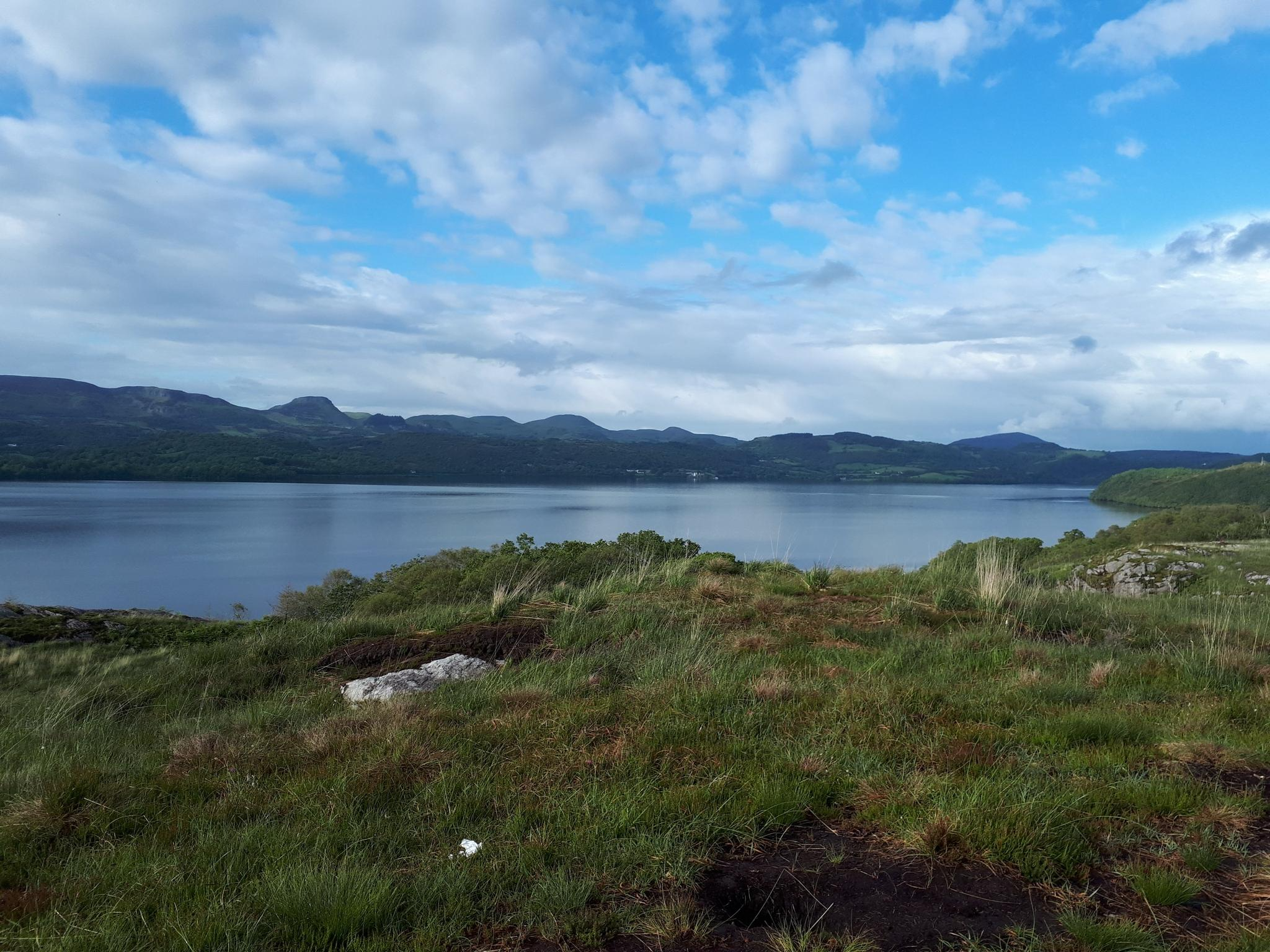
Running Trails around Lough Arrow
Sligo Way – Hiking through Yeats Country

Discover Ireland's past – historical walks on the Emerald Isle
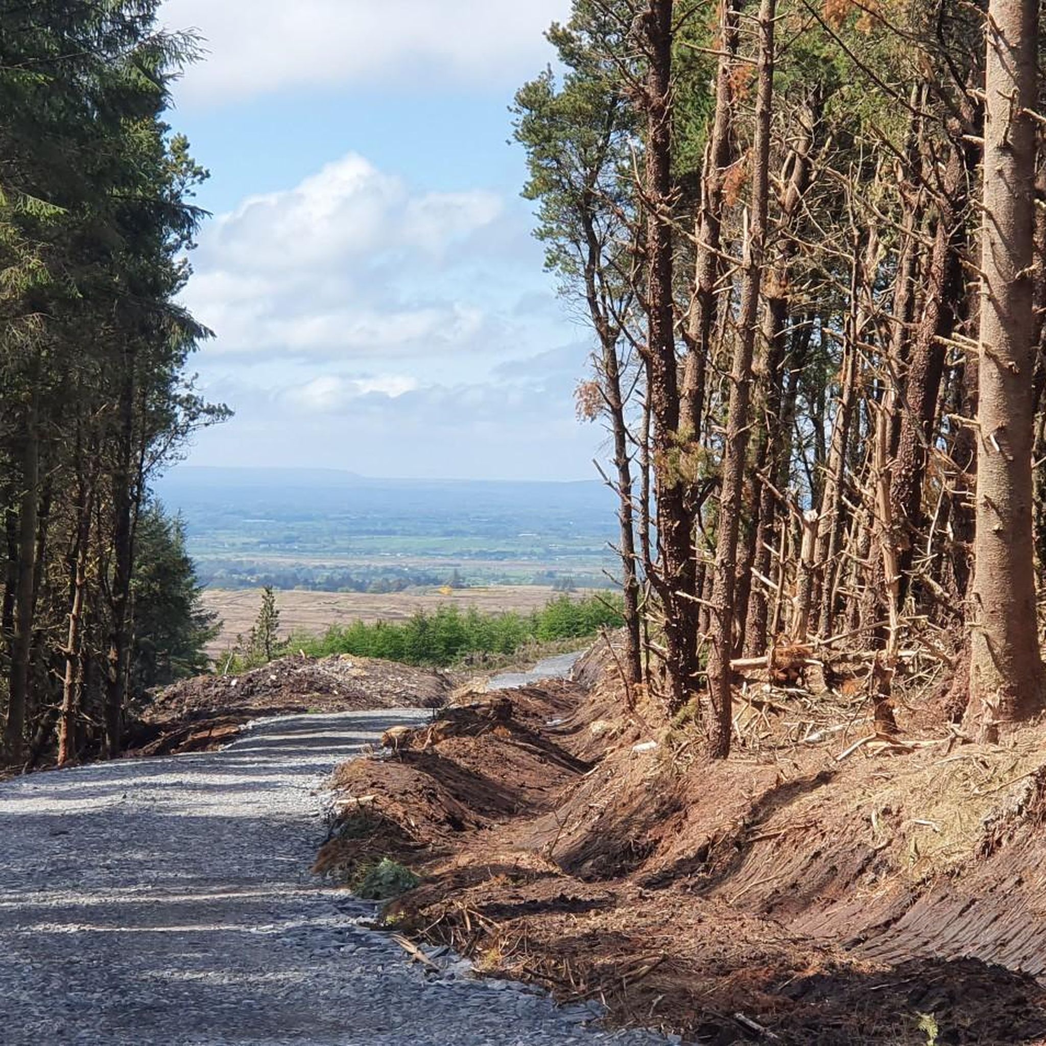
Cycling around Ballymote-Tubbercurry Municipal District
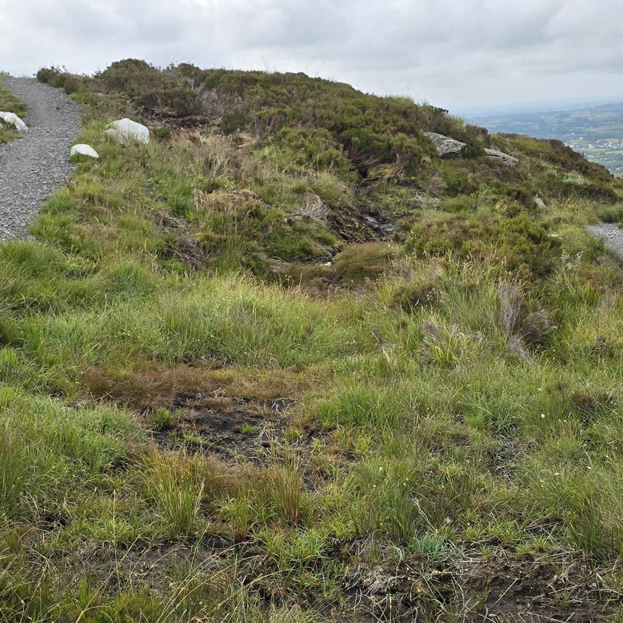
Road Cycling Routes around Ballymote-Tubbercurry Municipal District
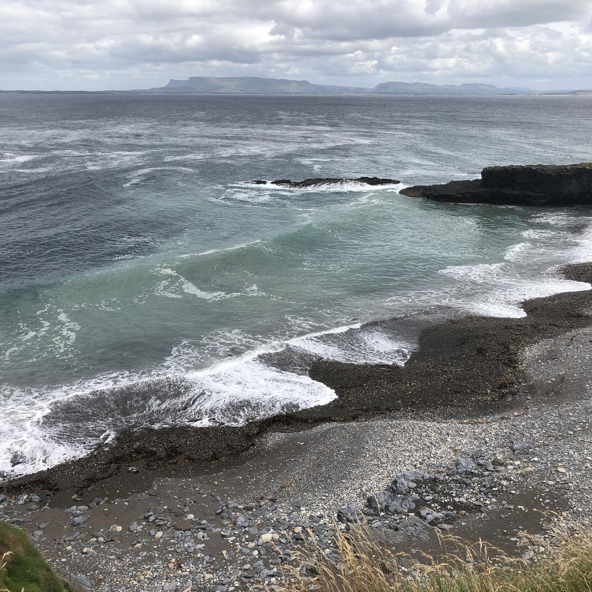
MTB Trails around Ballymote-Tubbercurry Municipal District
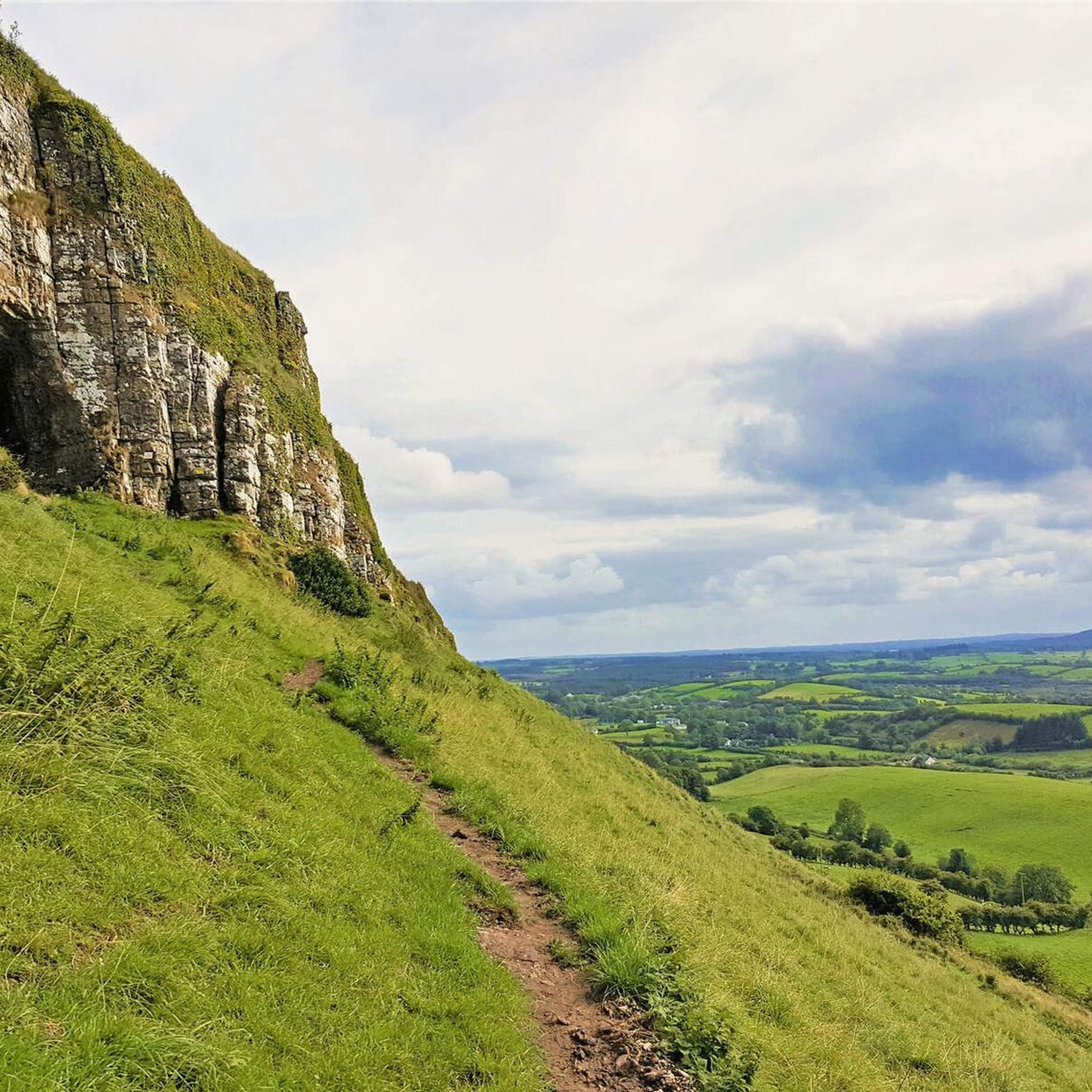
Hiking around Ballymote-Tubbercurry Municipal District
Other adventures around Ballymote-Tubbercurry Municipal District


Tips from the Community

Directly at the pier of Easkey you will find the impressive remains of Roslee Castle (Easky Castle), built in 1207. This robust tower has defied the fierce Atlantic winds for centuries and is one of the absolute highlights along this part of the coast. For the adventurers: via a hidden staircase in the wall you can (at your own risk!) climb to the top for an unforgettable view over the ocean. From the pier, also be sure to look down at the surfers who are mastering the famous 'left-hand break' here. A perfect place to get some fresh air and breathe in the salty sea air. dominated for centuries.
4
0
The Cliff Baths (also known as the Old Cliff Baths) are one of the most iconic and photogenic ruins on the Irish west coast. This striking, castle-like building was constructed in 1850 on the rocks on the north side of Enniscrone beach by the Orme family. During the heyday of Victorian tourism, wealthy visitors came here for the beneficial effects of warm seawater baths. Historically, the building was technically advanced: a rectangular basin was carved into the rocks in front of the door (now known as the 'Crab Pool'), which filled with every high tide to ensure a constant supply of fresh seawater even at low tide. Although the baths fell into disuse after severe storms and the opening of more modern facilities, the weathered walls remain a powerful symbol of Sligo's early spa culture.
3
0

Enniscrone Cliffs Bath is a building built directly on the beach on the promenade in Enniscrone, County Sligo. This white building is rather unusual, resembling a strange castle with towers and battlements. Built in 1850 by the Orme family, it actually served as a thermal bath.
1
0

See also: www.carrowkeel.com
0
0

Amazing tower.it’s possible to climb to the top up a staircase inside the walls accessed by what looks like a fireplace but is in fact a doorway that has slightly collapsed. Probably dangerous to do but good fun and great views.
2
0

There is a large rectangular pool in front of the cliff baths that fills on each tide. The pool was nicknamed 'The Baby Rock' by mothers of the village that bathed their children in it during the summer months. Nowadays it is known as 'crab pool' for obvious reasons! The long white sand beach in front is a great spot to stop and have a picnic.
3
0

These impressive stone tombs were built in the Neolithic between 4000 and 2500 BC. The cemetery is extensive and shows imposing passage graves, i.e. stone mounds with an entrance. The location is also impressive, because the stone graves are located on a plateau with a fantastic view of the surrounding area.
3
0
Frequently Asked Questions
How many running routes are available in the Ballymote-Tubbercurry Municipal District?
There are currently 13 dedicated running routes mapped in the Ballymote-Tubbercurry Municipal District on komoot. These routes offer a variety of distances and difficulty levels to suit different preferences.
What types of terrain can I expect on jogging routes in this region?
The Ballymote-Tubbercurry Municipal District offers a diverse landscape for runners. You can expect a mix of coastal paths, such as those near Enniscrone, mountainous terrain within the Ox Mountains, and tranquil routes around serene loughs like Lough Talt and Lough Easkey. There are also accessible forest trails and paths through historical sites.
Are there any easy running routes suitable for beginners or a relaxed jog?
Yes, the region has 4 easy running routes. An excellent option for a relaxed jog is the Beach and beach bar – Beach Bar loop from Corkagh Beg, which is just over 4 km and features minimal elevation gain, perfect for a gentle run along the coast.
Can I find challenging running trails with significant elevation in the area?
Absolutely. For those seeking a more strenuous workout, there are 2 difficult running routes. A notable challenging option is the Rathmulcah Fort – Enniscrone Castle loop from Inishcrone, which spans over 22 km and includes considerable elevation changes, offering a rewarding experience for experienced runners.
Are there any running routes that pass by historical sites or landmarks?
Yes, several routes combine physical activity with cultural exploration. For instance, the Carricknahorna – Carrowkeel Neolithic Cemetery loop from Ballinafad takes you past the ancient Carrowkeel Neolithic Cemetery. You can also explore the Easky Castle area with the Easky Castle loop from Easky.
What do other runners say about the trails in Ballymote-Tubbercurry Municipal District?
The running routes in Ballymote-Tubbercurry Municipal District are highly rated by the komoot community, with an average score of 4.6 stars from 6 reviews. Runners often praise the scenic beauty, varied terrain, and the opportunity to explore both coastal and mountainous landscapes.
Are there any running loops that start and end in the same location?
Yes, many of the routes in the district are designed as loops, allowing you to start and finish at the same point. Examples include the popular Running loop from Tobercurry and the Running loop from Powellsborough, both offering convenient circular paths through the local countryside.
Can I find running routes near water features like lakes or the coast?
Absolutely. The region is rich in water features. You can enjoy coastal runs with routes like the Enniscrone ring forts loop from Inishcrone. For lake views, consider routes near Lough Talt or Lough Easkey, which offer serene natural settings for your run.
Are there any specific attractions to look out for while running in the area?
Beyond the routes themselves, the district boasts several points of interest. You might encounter the impressive Caves of Keash, the ancient Carrowkeel Neolithic Cemetery, or the historic Easky Castle. The Cliff Bath, Enniscrone is another unique coastal attraction.
What is the longest running route available in the Ballymote-Tubbercurry Municipal District?
For those looking for a long-distance challenge, the Enniscrone Castle loop from Inishcrone is the longest route listed, covering approximately 30 km. This difficult route offers an extensive running experience along the coast.
Are there any running routes that offer views of the Ox Mountains?
Yes, the district encompasses sections of the Ox Mountains, providing scenic routes with elevated views. While specific komoot routes are not named for the Ox Mountains directly, the varied terrain of the region means many trails will offer glimpses or direct paths through this beautiful mountain range, such as those around Lough Talt.
How can I find a running route that suits my fitness level?
Komoot categorizes routes by difficulty: easy, moderate, and difficult. You can choose from 4 easy routes for a gentle run, 7 moderate routes for a good workout, or 2 difficult routes if you're seeking a significant challenge. Each route description provides details on distance and elevation to help you decide.
Most popular routes around Ballymote-Tubbercurry Municipal District
Most popular attractions around Ballymote-Tubbercurry Municipal District

Get inspired with the komoot mobile app


Didn’t find what you were looking for?
Check out more Running Trails & Routes throughout Ballymote-Tubbercurry Municipal District below and find the perfect route in your destination.
Explore more
Browse the best Running Trails & Routes in other regions.
