The best road cycling routes around Ballymote-Tubbercurry Municipal District
4.4
(75)
1,896
riders
35
rides
Road cycling around Ballymote-Tubbercurry Municipal District offers diverse landscapes within County Sligo, Ireland. The region is an integral part of the Wild Atlantic Way, featuring tranquil coastal areas, windswept boglands, and lush green pastureland. Cyclists can experience varied terrain, from farmlands to coastal stretches and the Ox Mountains, on quiet roads. This area provides a mix of dramatic clifftop vistas and serene lakeside journeys, particularly around Lough Gill and Lough Talt.
Best road cycling routes around Ballymote-Tubbercurry Municipal District
- The…
Last updated: July 7, 2026
4.0
(1)
31
riders
96.0km
04:12
790m
790m
Cycle the 59.7-mile Easky Lough, Knockalongy, and Ballysadare loop from Coolaney, a moderate road ride with scenic views of lakes and the Sl
15
riders
72.4km
03:06
590m
590m
Moderate road ride. Good fitness required. Mostly well-paved surfaces and easy to ride.

Sign up for free
205km
09:24
1,670m
1,670m
Hard road ride. Very good fitness required. Mostly well-paved surfaces and easy to ride.
4.0
(1)
26
riders
78.6km
03:34
730m
730m
Moderate road ride. Good fitness required. Mostly well-paved surfaces and easy to ride.
5.0
(1)
20
riders
37.0km
01:33
200m
200m
Easy road ride. Great for any fitness level. Mostly well-paved surfaces and easy to ride.
5.0
(1)
19
riders
118km
05:11
1,050m
1,050m
Hard road ride. Very good fitness required. Mostly well-paved surfaces and easy to ride.
13
riders
64.3km
02:46
430m
430m
Moderate road ride. Good fitness required. Mostly well-paved surfaces and easy to ride.
13
riders
59.7km
02:30
450m
450m
Moderate road ride. Good fitness required. Mostly well-paved surfaces and easy to ride.
5.0
(1)
13
riders
88.0km
03:49
700m
700m
Moderate road ride. Good fitness required. Mostly well-paved surfaces and easy to ride.
8
riders
44.8km
01:56
300m
300m
Easy road ride. Great for any fitness level. Mostly well-paved surfaces and easy to ride.
Get access to more routes and recommendations from other explorers.
Sign up for free
Already have an account?
Our route recommendations are based on thousands of hikes, rides, and runs completed by other people on komoot.
Start today with a free account
Your next adventure awaits.
Login or Signup
Popular around Ballymote-Tubbercurry Municipal District
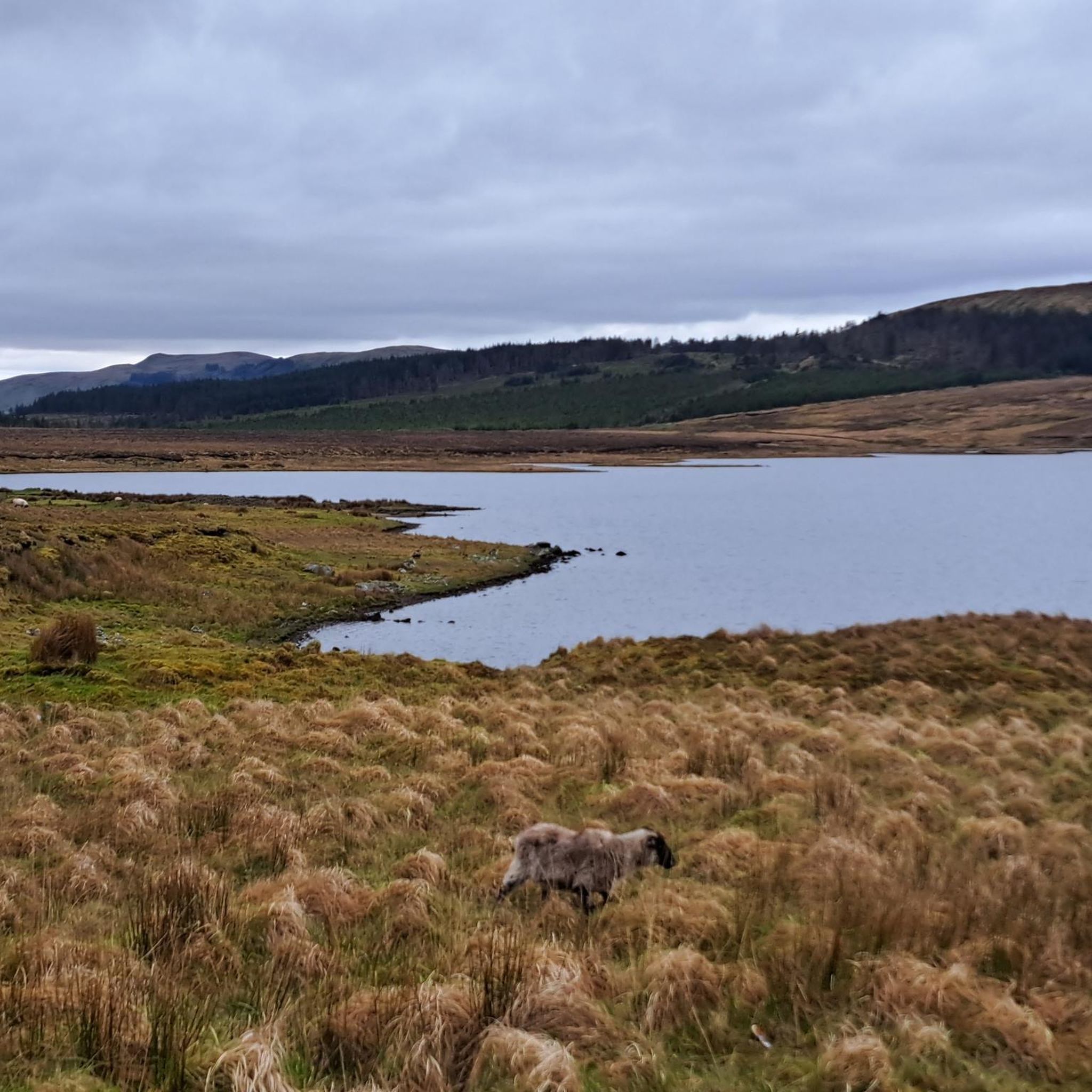
Road Cycling Routes around Easky Lough
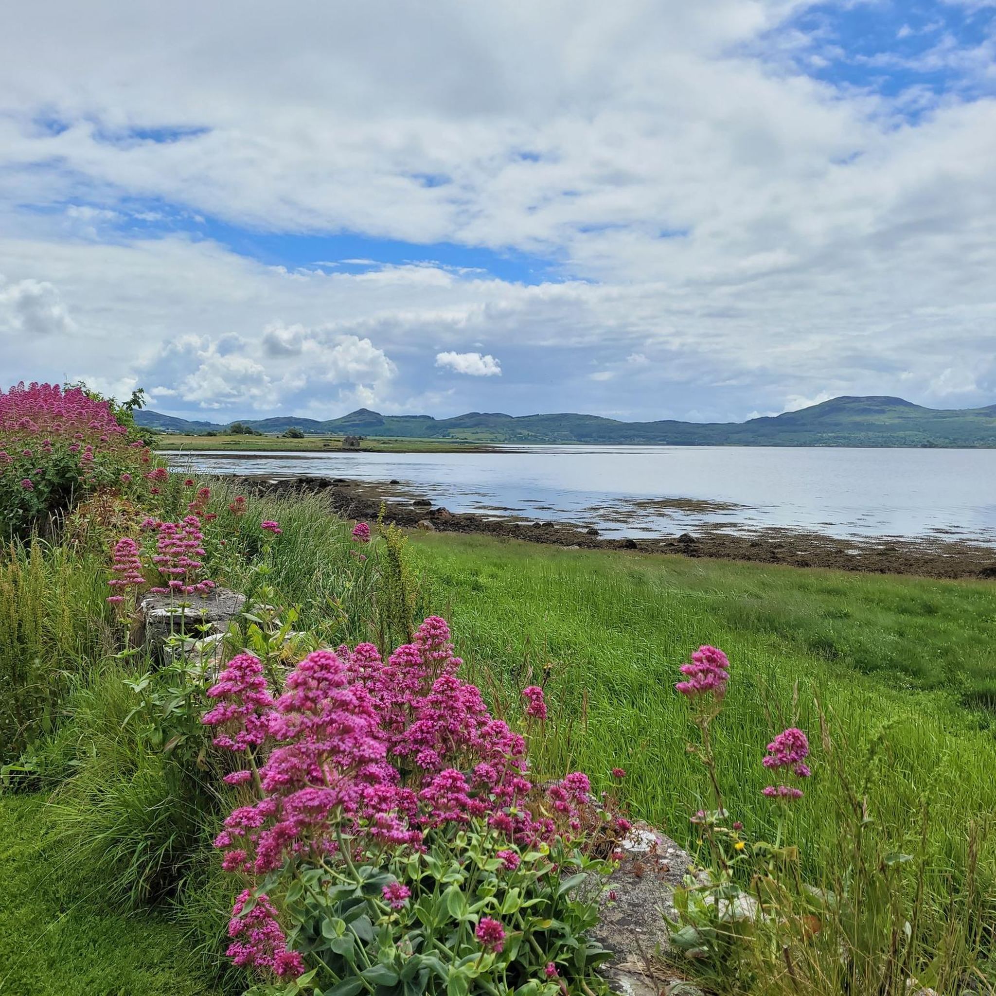
Road Cycling Routes around Templehouse Lake
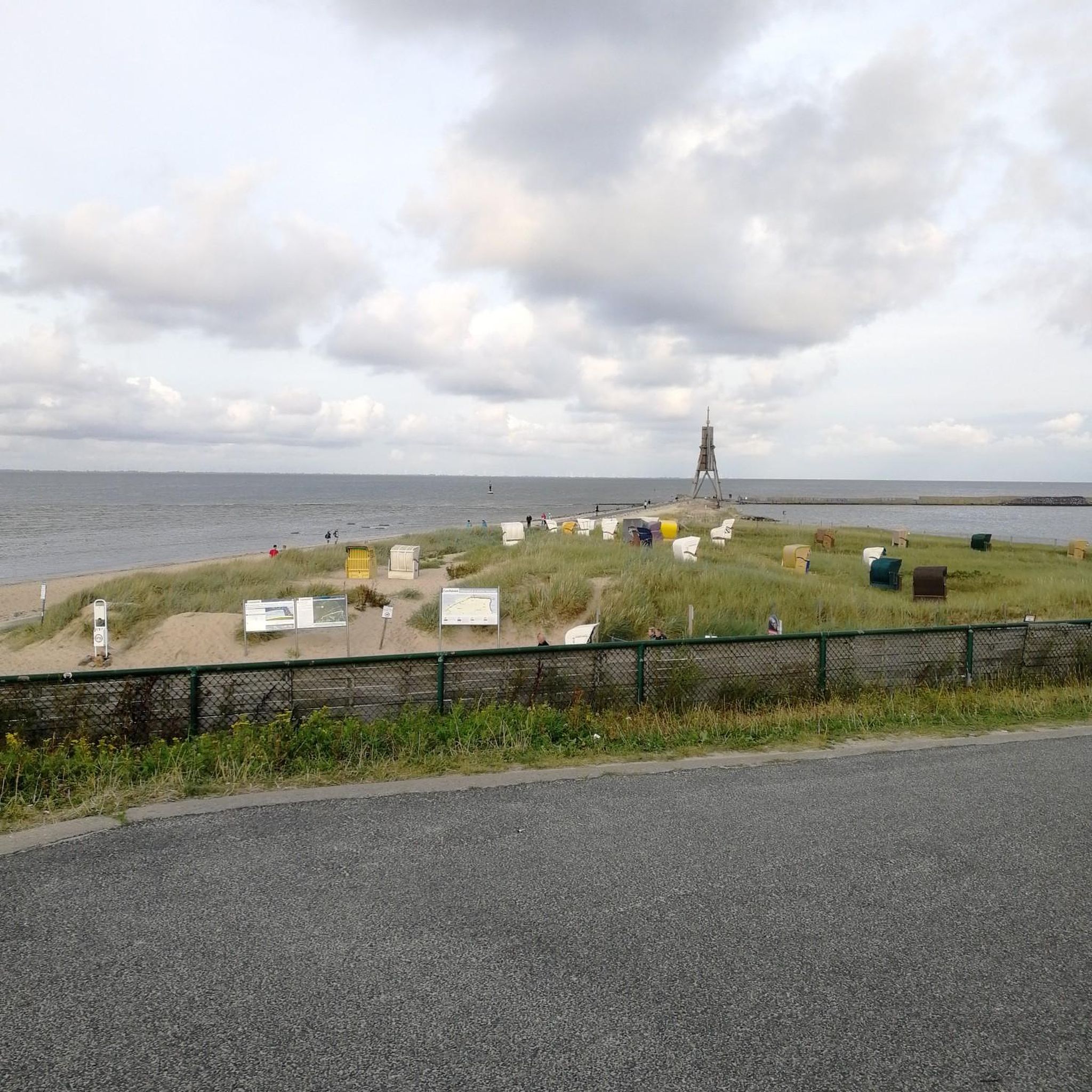
Road Cycling Routes around Lough Arrow
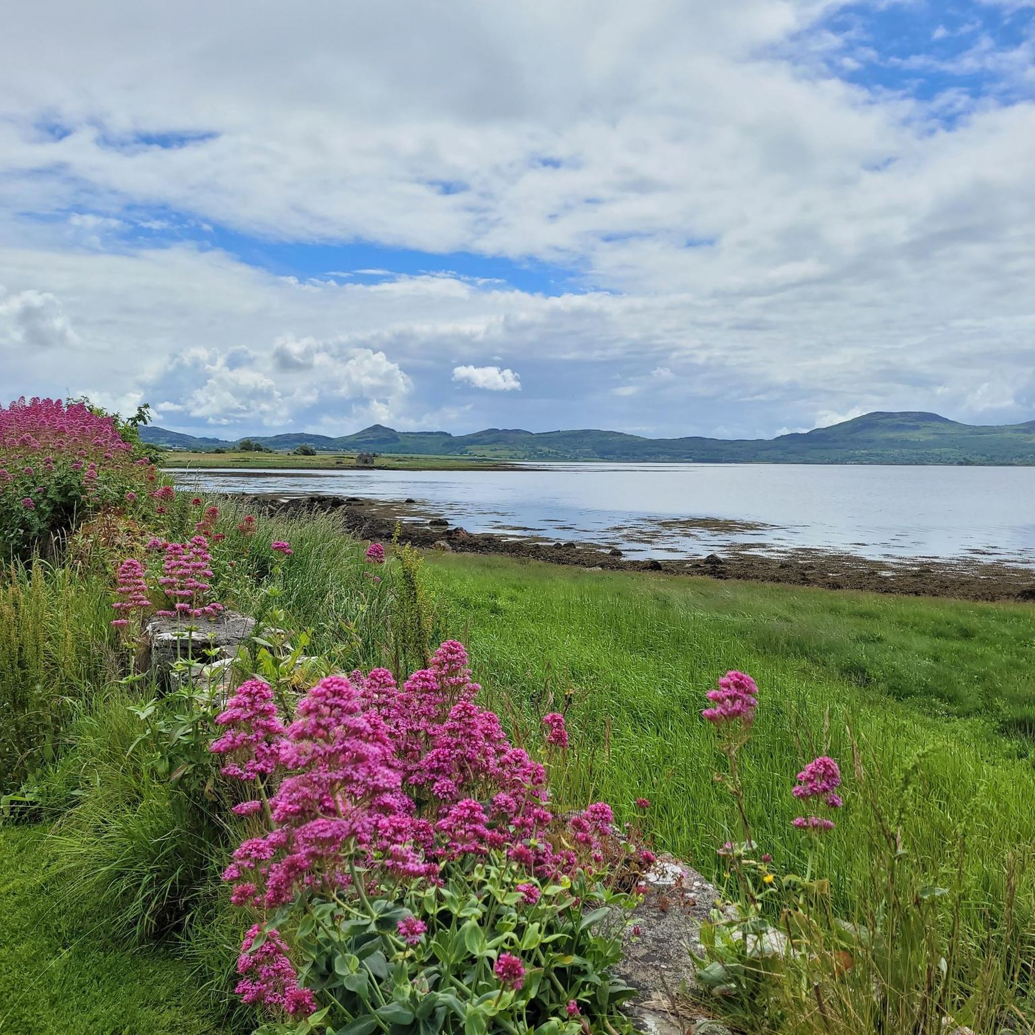
Road Cycling Routes around Cloonacleigha Lake
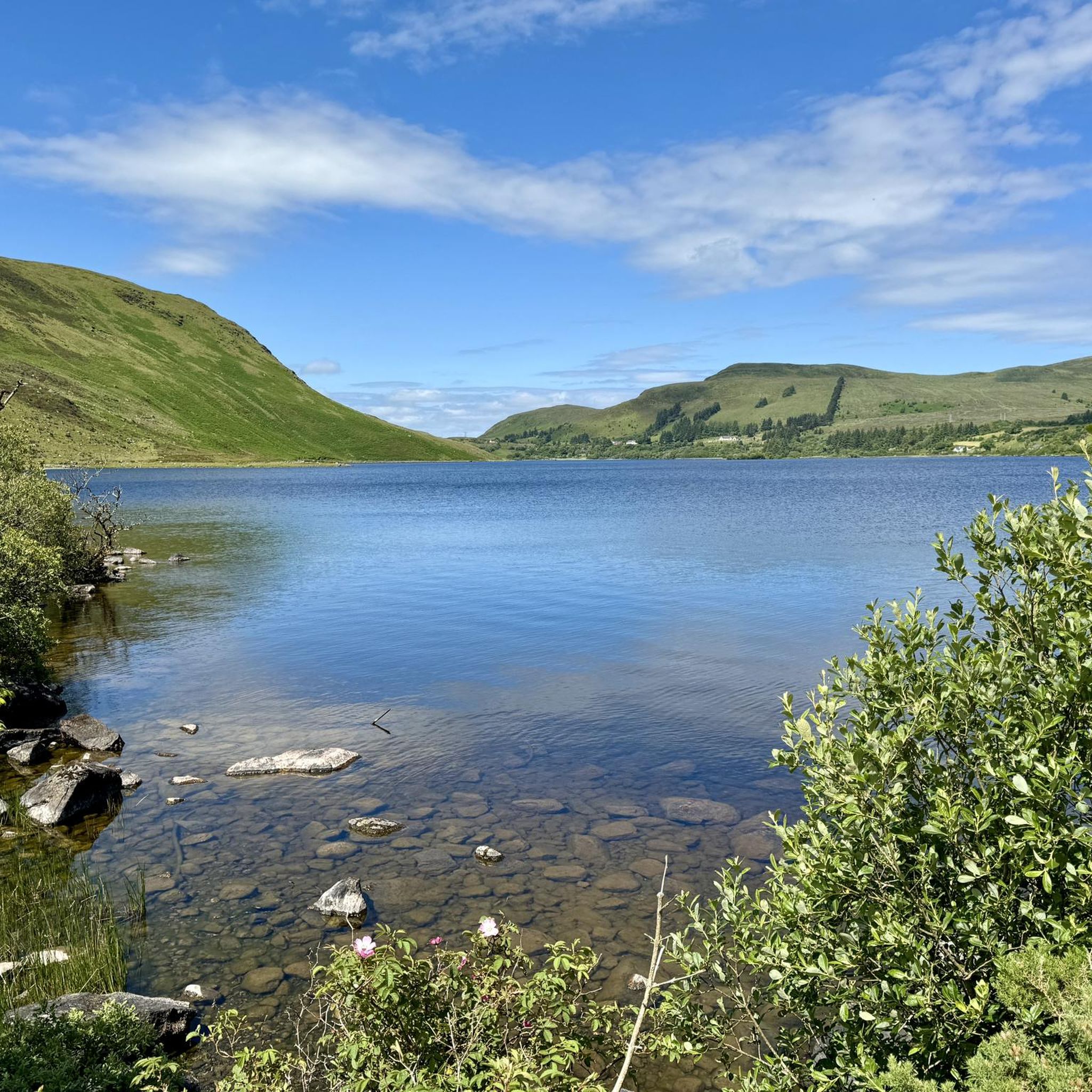
Road Cycling Routes around Lough Talt
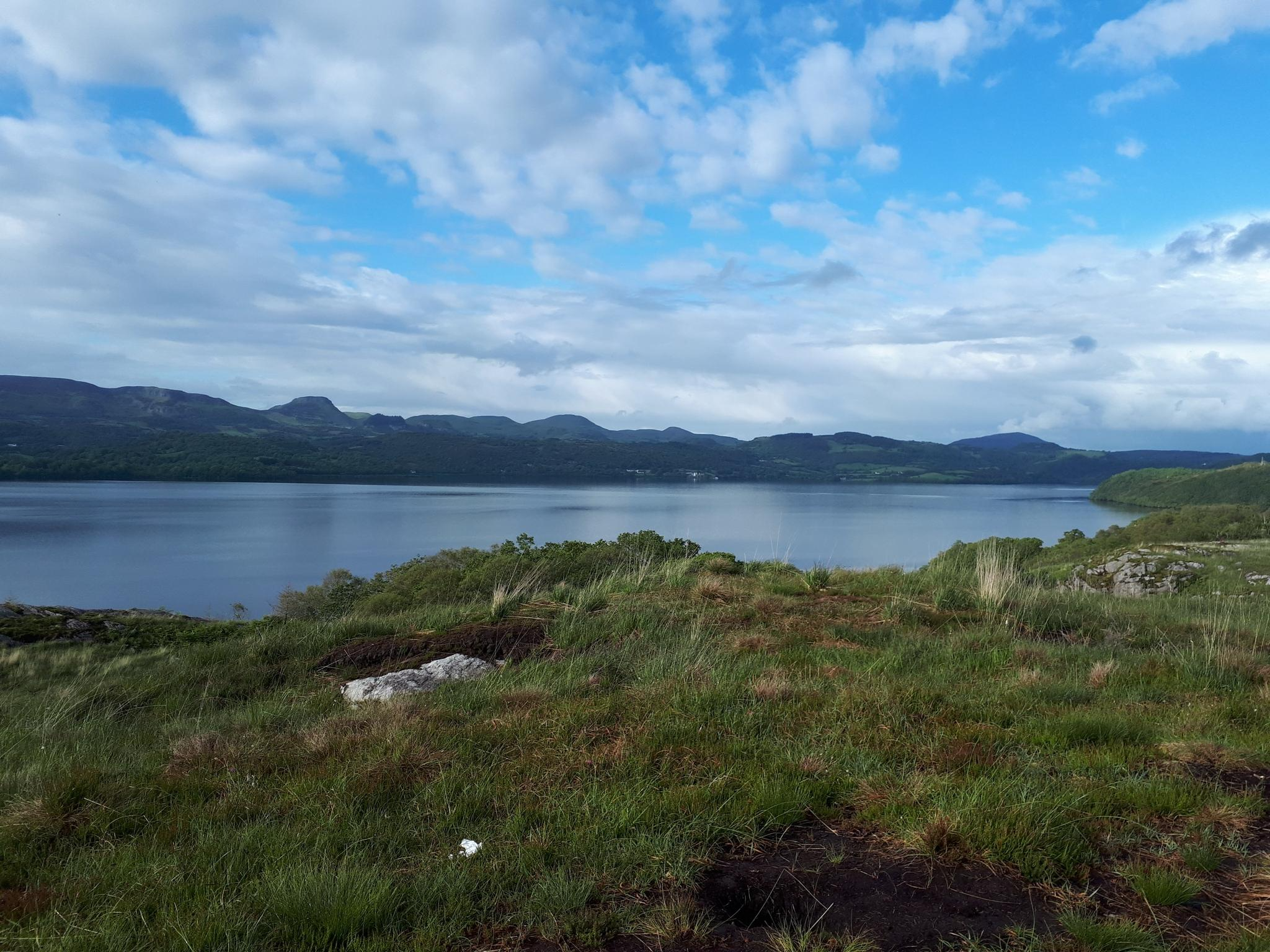
Sligo Way – Hiking through Yeats Country

Discover Ireland's past – historical walks on the Emerald Isle
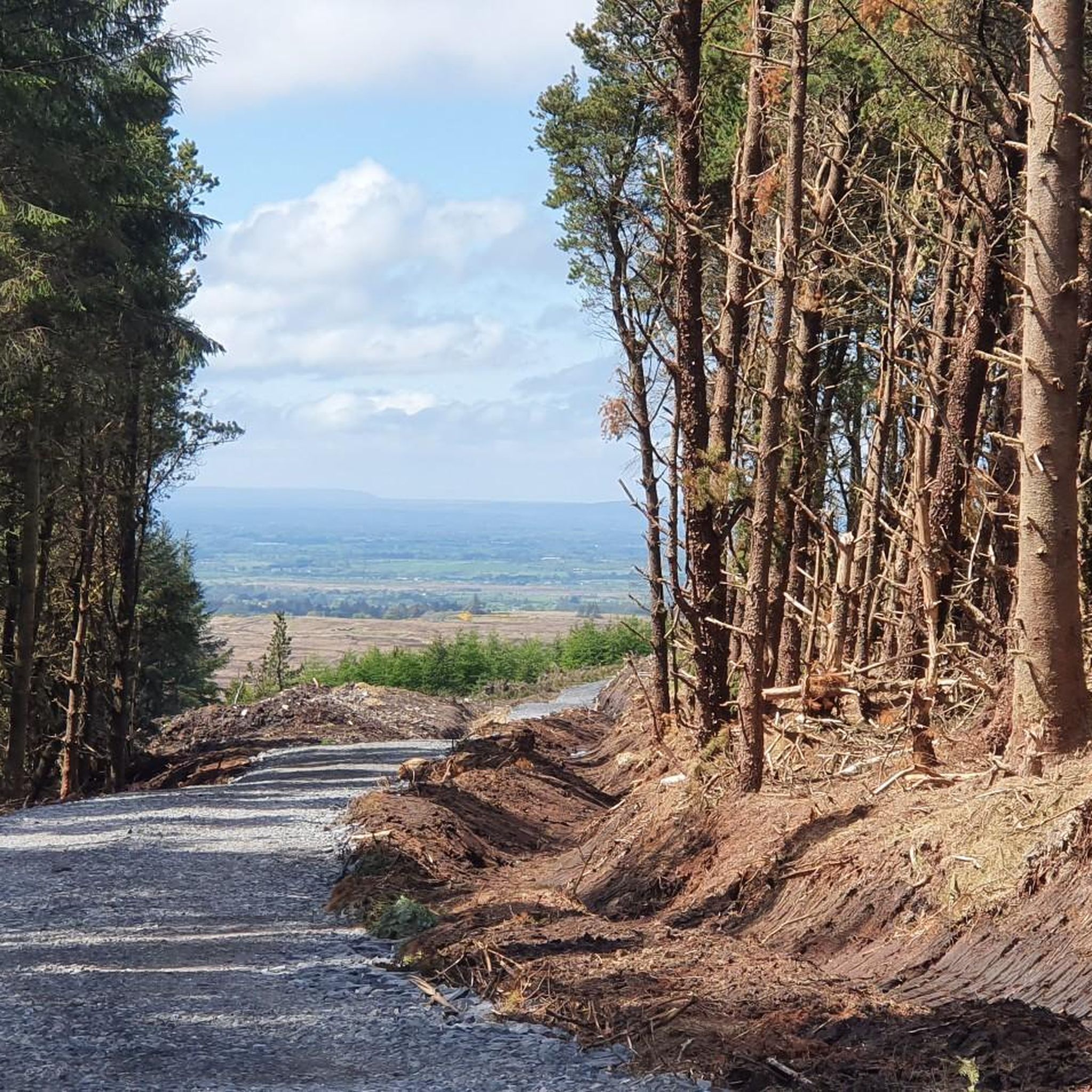
Cycling around Ballymote-Tubbercurry Municipal District
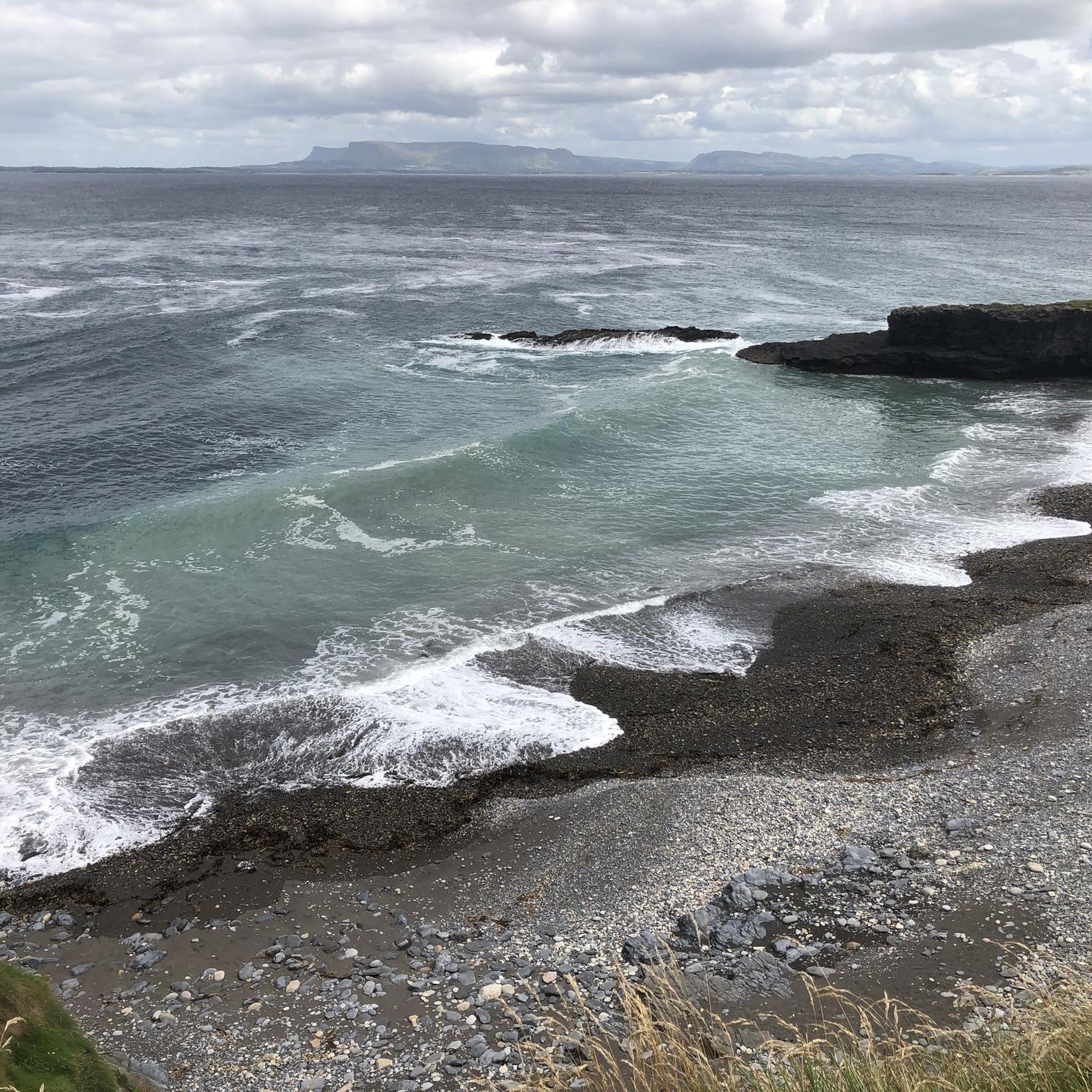
MTB Trails around Ballymote-Tubbercurry Municipal District
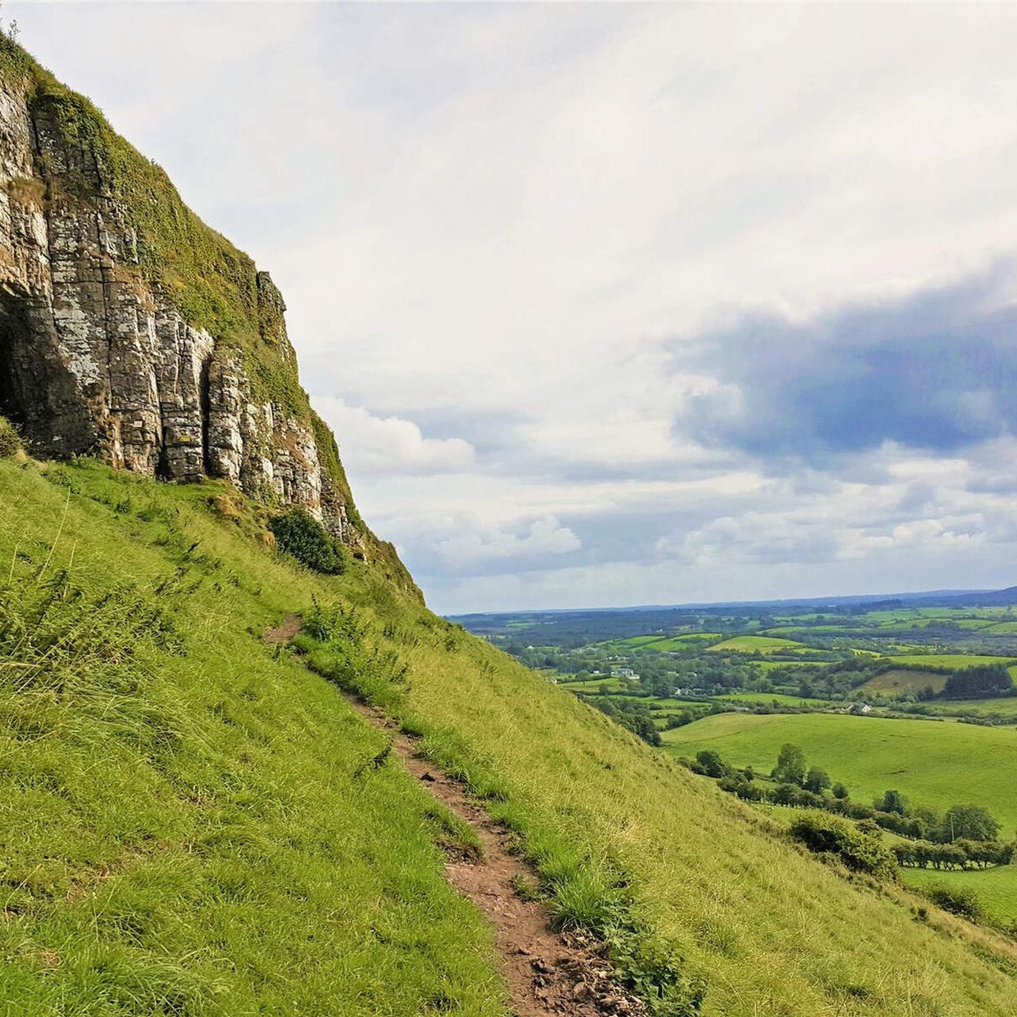
Hiking around Ballymote-Tubbercurry Municipal District
Other adventures around Ballymote-Tubbercurry Municipal District


Tips from the Community

Central bridge over the Garavogue River, named after Douglas Hyde. A recognizable landmark in the heart of Sligo, with views of the river and direct access to the Yeats Memorial Building and the city's main streets.
5
0
Neo-Gothic courthouse from 1878 on Teeling Street, designed by James Rawson Carroll. The sandstone facade with turrets and pointed arches gives the building a strikingly stately character. A rare example of Victorian architecture outside of Dublin.
3
0
This Dominican priory, the city's oldest monument, built in the 13th century by Maurice Fitzgerald, has a choir and the remains of a stone rood screen with three arches from that period. Heavily damaged by fire, the abbey received additions in the 15th century, such as the cloister, the nave, the tower, and especially the most beautiful element of the building: the sarcophagus altar, carved with nine panels, unique in its kind in Ireland.
4
0
The Cliff Baths (also known as the Old Cliff Baths) are one of the most iconic and photogenic ruins on the Irish west coast. This striking, castle-like building was constructed in 1850 on the rocks on the north side of Enniscrone beach by the Orme family. During the heyday of Victorian tourism, wealthy visitors came here for the beneficial effects of warm seawater baths. Historically, the building was technically advanced: a rectangular basin was carved into the rocks in front of the door (now known as the 'Crab Pool'), which filled with every high tide to ensure a constant supply of fresh seawater even at low tide. Although the baths fell into disuse after severe storms and the opening of more modern facilities, the weathered walls remain a powerful symbol of Sligo's early spa culture.
3
0
Bridge without historical or architectural value. But it does offer a viewpoint over the river and specifically the Muredach Cathedral.
6
0
Route along the main road with open views of the wide Moy estuary. You follow the river at some height, giving you long lines of sight over the water and the tidal flats. Less peaceful than the other side, but a clear, fast connection towards Ballina with continuous views of the estuary.
5
0

Knockalongy is a 544-metre (1784,78 feet) Marilyn in County Sligo. The highest of the Ox Mountains, there are many megalithic tombs to explore in the surrounding area. There are also two small loughs at the foot of the mountain to enjoy if the weather is good.
0
0
Frequently Asked Questions
How many road cycling routes are available in Ballymote-Tubbercurry Municipal District?
There are over 40 road cycling routes in the Ballymote-Tubbercurry Municipal District, catering to various skill levels. You'll find a mix of easy, moderate, and challenging rides to explore the region's diverse landscapes.
What kind of terrain can I expect on road cycling routes in this district?
The Ballymote-Tubbercurry Municipal District offers a diverse range of terrain. You can expect tranquil coastal areas, windswept boglands, lush green pastureland, and the more challenging mountainous terrain of the Ox Mountains. Routes vary from farmlands to coastal stretches along the Wild Atlantic Way and serene lakeside journeys around Lough Gill and Lough Talt.
Are there any challenging road cycling routes for experienced cyclists?
Yes, for experienced cyclists seeking a challenge, the district offers several difficult routes. One notable option is the Lough Talt, Sligo and Castlebaldwin loop from Tobercurry - Sligo 200km, which spans over 200 km with significant elevation gain. Another challenging ride is the Easky Lough – Fantastic scenic road loop from Glendarragh ED, covering over 118 km.
What are some easy road cycling routes suitable for beginners or a relaxed ride?
For an easier ride, consider routes like the Beautiful quiet road – Upper Bridge loop from Inishcrone, which is approximately 36 km. Another accessible option is the Ballygawley Lough – Ardrea Lough loop from Ballymote, covering about 44 km, offering a gentler cycling experience through scenic areas.
Are there any circular road cycling routes in the Ballymote-Tubbercurry Municipal District?
Many of the road cycling routes in the district are designed as loops, allowing you to start and finish in the same location. Examples include the popular Easky Lough, Knockalongy and Ballysadare loop from Coolaney, and the Esky Lough and Knockalongy loop from Tobercurry, both offering scenic circular journeys.
What scenic viewpoints or landmarks can I see along the road cycling routes?
The region is rich in scenic beauty and historical sites. Along your rides, you might encounter the dramatic mountain scenery of the Gleniff Horseshoe Loop, or enjoy expansive ocean views along the Wild Atlantic Way. Notable landmarks include the intriguing Caves of Keash, the ancient Carrowkeel Neolithic Cemetery with its panoramic views, and the picturesque Lough Talt.
What do other road cyclists enjoy most about cycling in Ballymote-Tubbercurry Municipal District?
The area is highly rated by the komoot community, with an average score of 4.3 stars from over 8 reviews. Cyclists often praise the quiet, peaceful roads, the stunning scenery, and the diverse terrain that ranges from coastal paths to mountainous sections, providing an exceptional and engaging ride.
Are there any routes that pass by lakes or coastal areas?
Absolutely. Many routes offer beautiful lakeside and coastal journeys. You can enjoy picturesque rides along Lough Gill, and the Wild Atlantic Way section provides expansive ocean views, remote headlands, and towering sea cliffs. The Easky Lough – Beach Bar loop from Tobercurry is a great example of a route featuring both lough and coastal scenery.
What is the best time of year to go road cycling in this region?
The region's commitment to cycling infrastructure, including the EuroVelo 1 enhancements, makes it enjoyable for much of the year. Spring and summer generally offer the most favorable weather conditions for road cycling, with milder temperatures and longer daylight hours, allowing you to fully appreciate the diverse landscapes from coastal stretches to the Ox Mountains.
Are there any routes that explore the Ox Mountains?
Yes, the Ox Mountains offer a distinct cycling experience with their unique mountainous landscape. While specific named routes within the guide might not explicitly state 'Ox Mountains Loop', the region research highlights a challenging 63.6 km route with significant elevation gain through these mountains, allowing cyclists to immerse themselves in this untamed beauty.
What kind of road surfaces can I expect on the routes?
The routes primarily utilize existing roads, which are generally quiet and well-regarded for cycling. As part of the 'Atlantic On Bike' project, efforts are underway to enhance the EuroVelo 1 route with signage and cycling infrastructure, indicating a focus on maintaining suitable road conditions for cyclists.
Are there any routes that pass through towns or villages where I could stop for refreshments?
Many routes pass through or near charming towns and villages, especially those along the Wild Atlantic Way. These provide opportunities to stop for refreshments or explore local amenities. For example, routes originating from Tobercurry or Ballymote will often have access to local cafes and pubs.
Most popular routes around Ballymote-Tubbercurry Municipal District
Most popular attractions around Ballymote-Tubbercurry Municipal District

Get inspired with the komoot mobile app


Didn’t find what you were looking for?
Check out more Road cycling routes throughout Ballymote-Tubbercurry Municipal District below and find the perfect route in your destination.
Explore more
Browse the best Road cycling routes in other regions.
