Bischofsheim an der Rhön
Bischofsheim an der Rhön
The 20 Most Amazing Peaks around Bischofsheim an der Rhön
Best mountain peaks around Bischofsheim an der Rhön are found within the Rhön Mountains, a low mountain range shaped by ancient volcanic activity. This region offers a varied landscape, from gentle hills to dramatic rock formations, often referred to as the "Land of the Open Distances" due to its expansive, treeless heights. The area provides diverse hiking experiences and panoramic views, making it a notable destination for outdoor enthusiasts.
Best mountain peaks around Bischofsheim an der Rhön
- The most popular…
Last updated: July 6, 2026
Wasserkuppe aviation memorial
Highlight • Monument
Translated by Google •
Tip by

Golgotha group (Three Crosses) on the Kreuzberg
Highlight • Monument
Translated by Google •
Tip by

Sign up now to discover places like this
Get recommendations on the best single tracks, peaks, & plenty of other exciting outdoor places.
Sign up for free
Pferdskopf Summit
Highlight • Summit
Translated by Google •
Tip by

Galgota Kreuze - Kreuzberg
Highlight • Viewpoint
Translated by Google •
Tip by

Himmeldunkberg summit
Highlight • Summit
Translated by Google •
Tip by

Sign up for free to discover even more peaks around Bischofsheim an der Rhön.
Sign up for free
Already have an account?
Start today with a free account
Your next adventure awaits.
Login or Signup
Popular around Bischofsheim an der Rhön
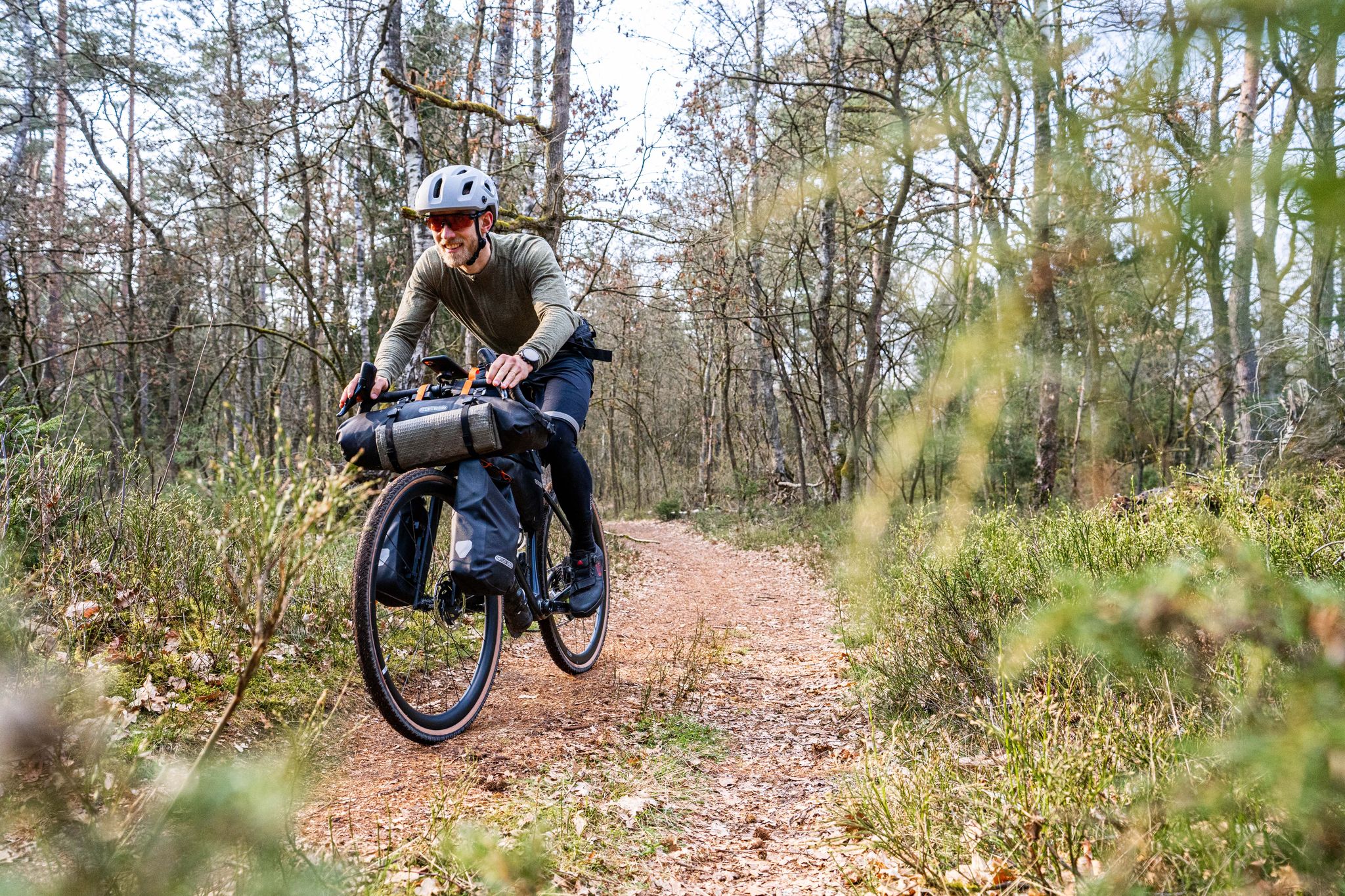
Gravel bikepacking from Hamburg to Munich
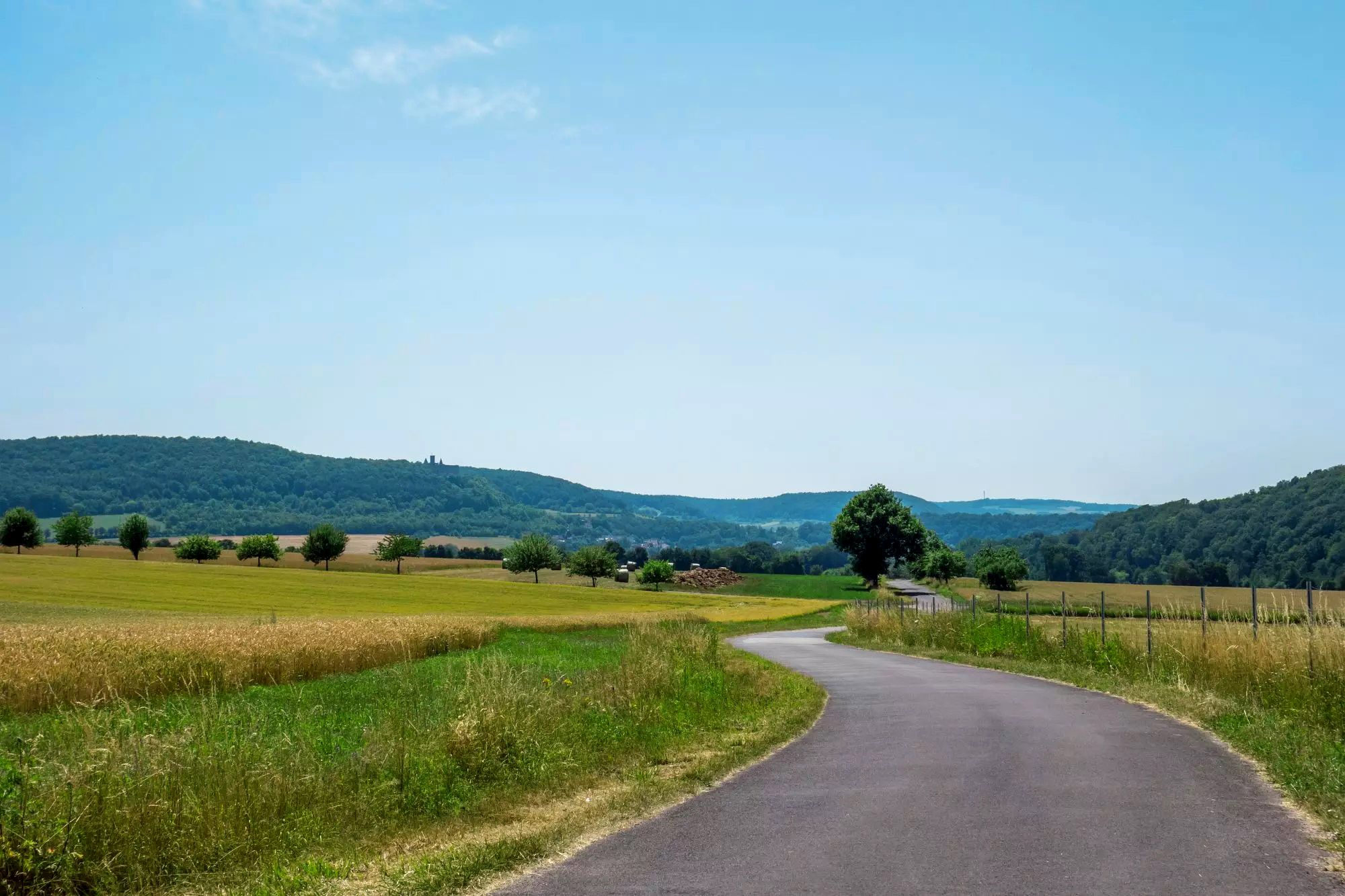
Rhön Cycleway in Germany – Cycling in the Land of Open Distances

Stages of the HOCHRHÖNER Premium Hiking Trail

Extra tours South - Excellent premium hiking trails of the Rhön

Wonderful Green Band

Hike Germany’s Rhön Mountains on the Hochrhöner Trail
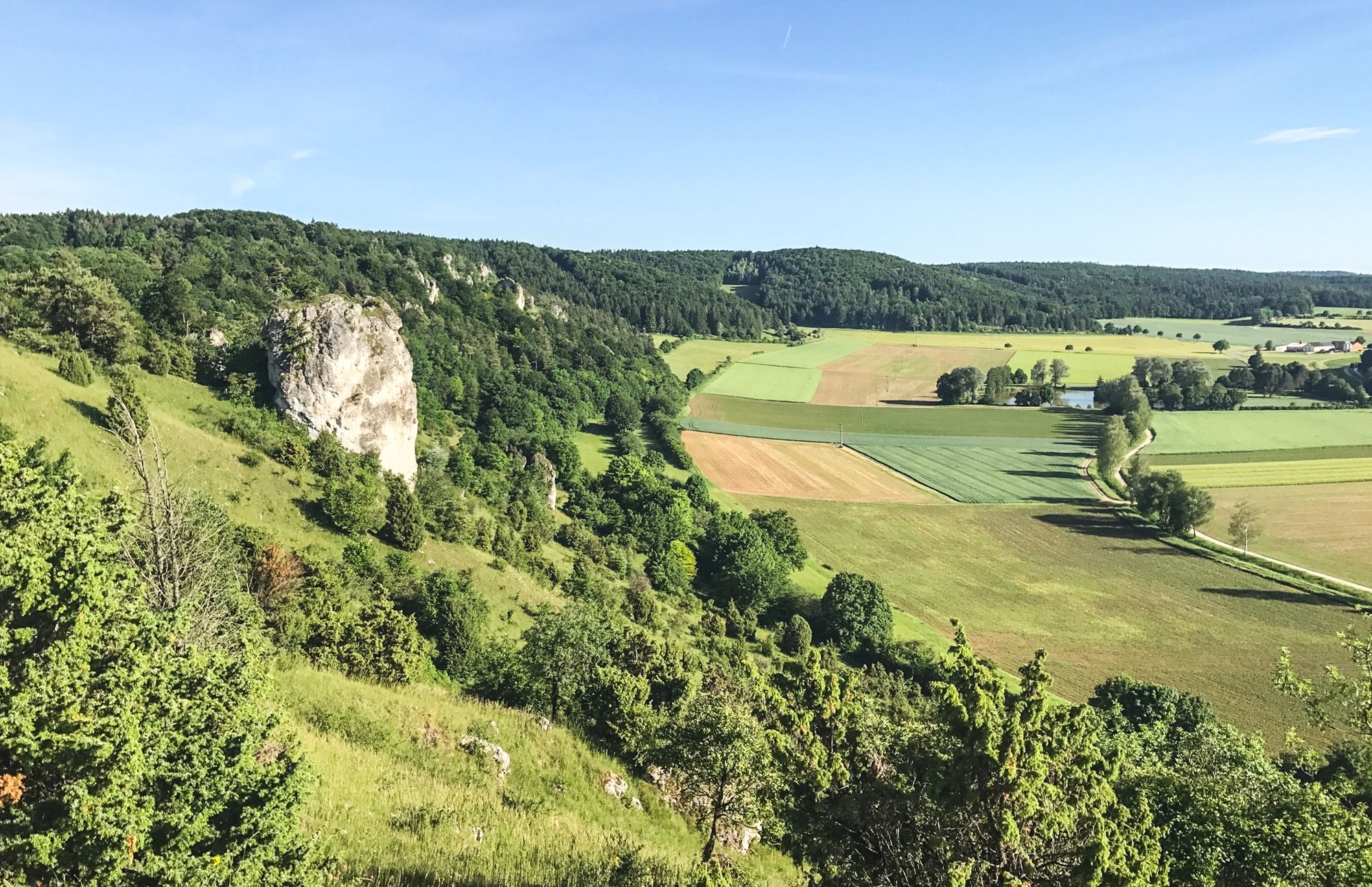
Between Altmühltal & Spruce Mountains – hiking in Franconia
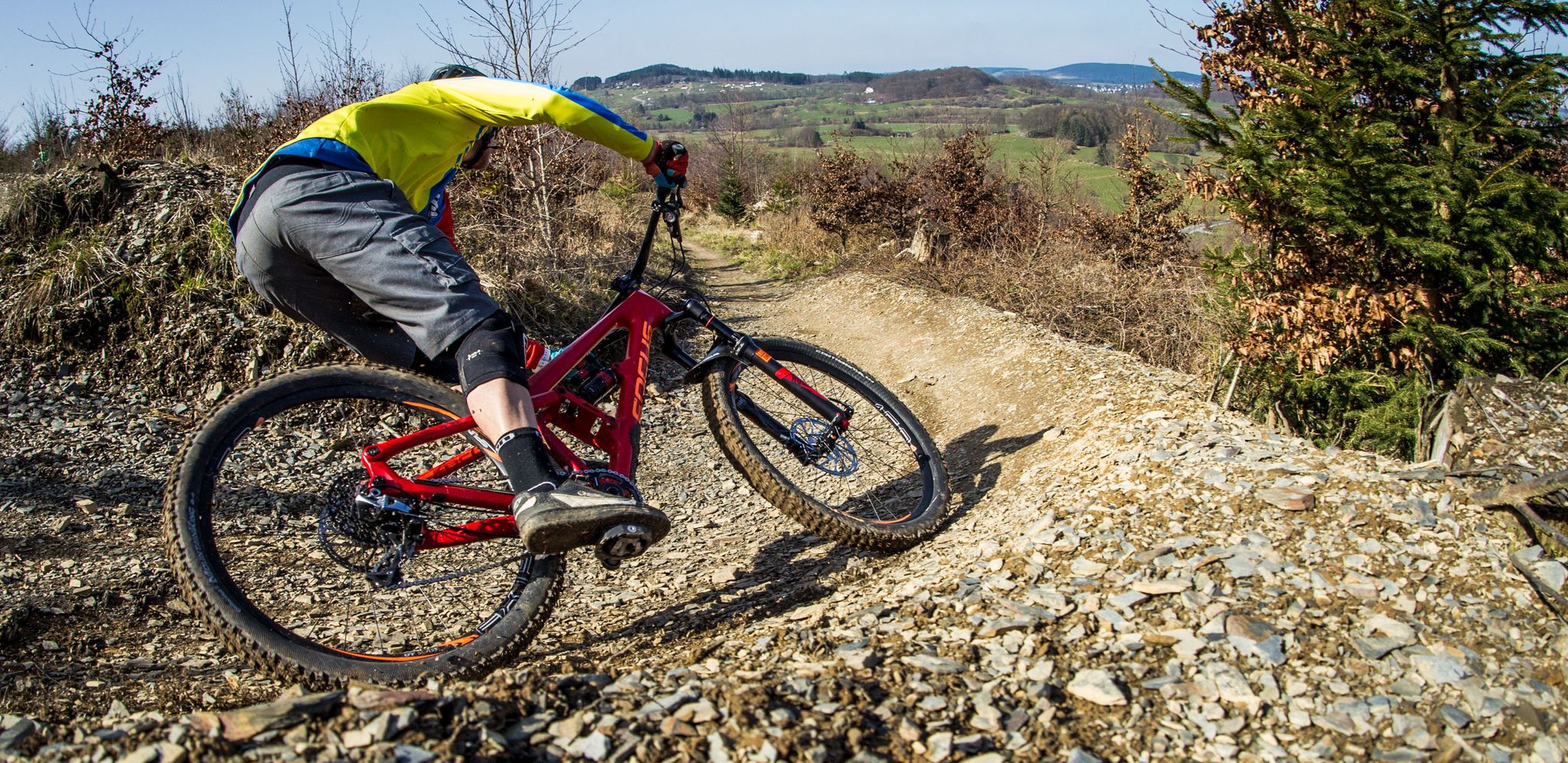
Flow Rider — trail fun for everyone
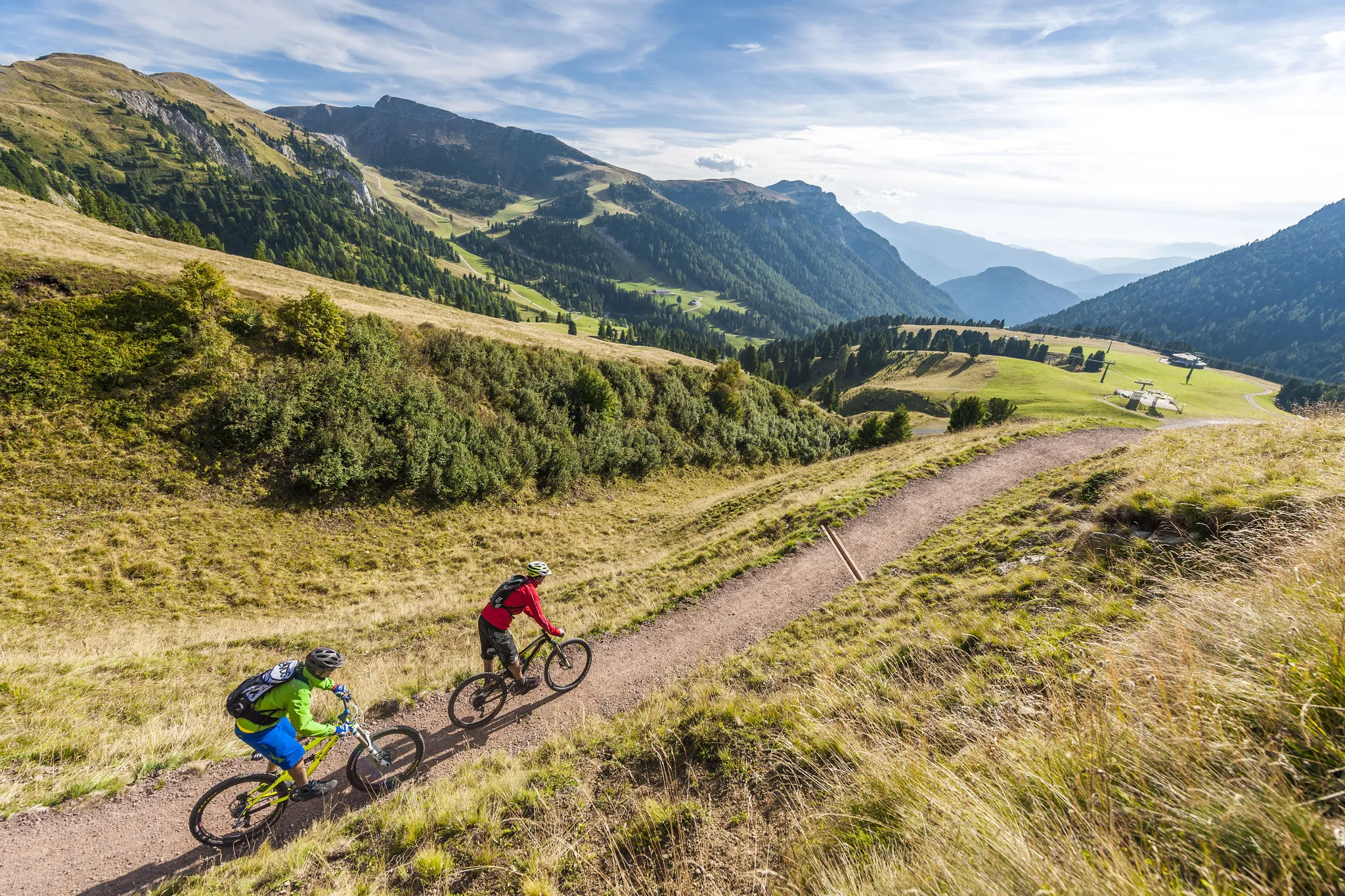
Supertrails — the long way down
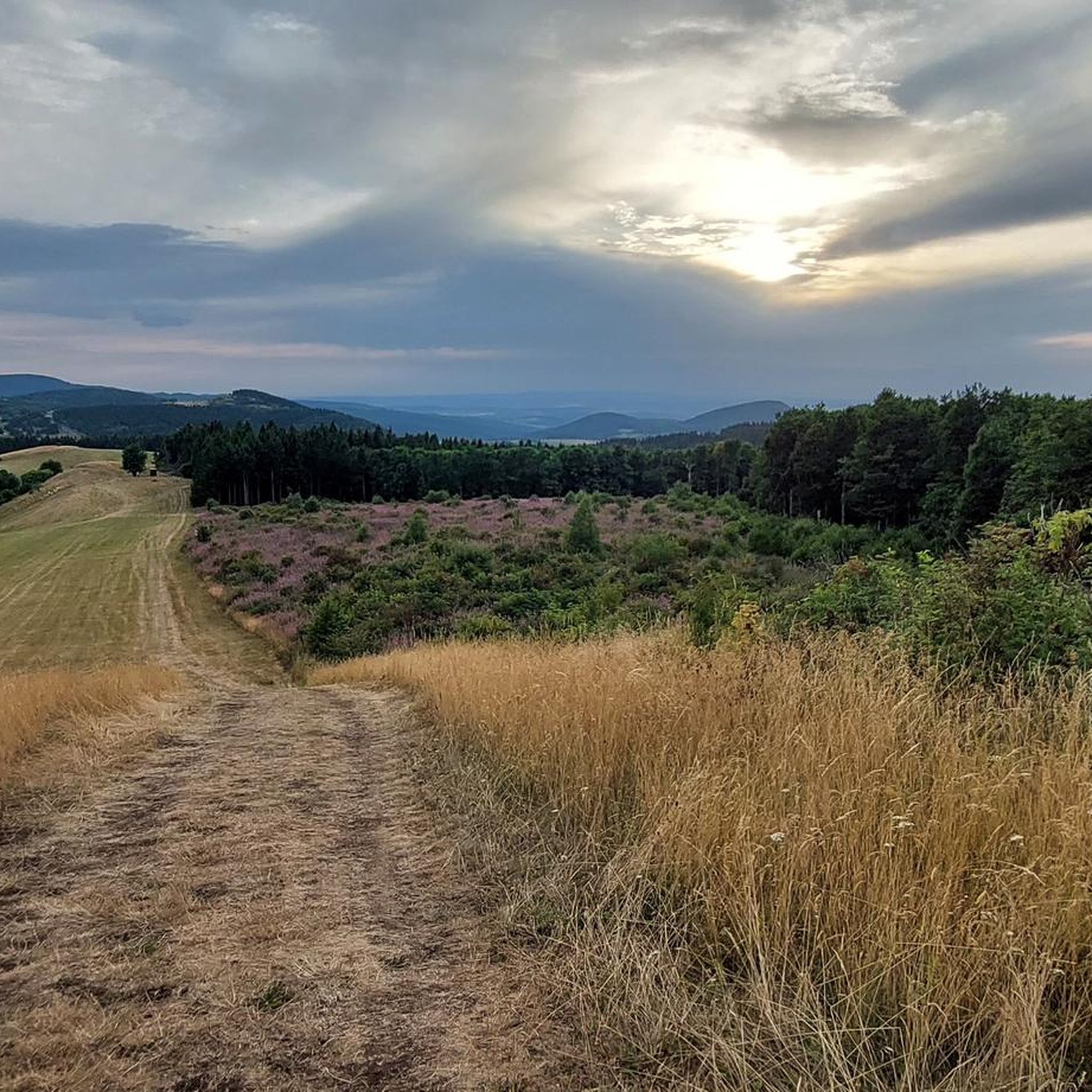
Hiking around Bischofsheim an der Rhön
Other adventures around Bischofsheim an der Rhön


Tips from the Community

Even the strongest hiker needs a break sometimes 😀
6
0

Recently, you can now also collect a stamp for the summit pass from the Bischofsheim Tourist Information Center at Himmeldunk (6 stamps must be collected within 10 days to receive a certificate).
15
0

An oversized summit cross that is quite impressive. From there I have a wonderful view over the Rhön. There is also a summit book where you can register. A really nice sunny spot to linger. One of the most beautiful hikes in the Rhön that I have ever done. It is worth it! I've been there several times now.
11
2

With a height of almost 888 meters, it not only offers impressive views, but also a home for rare and protected plants and animals. The Himmeldunkberg can be reached via three different hiking trails, with the route from the Schwedenschanze on the B 279 being the easiest. Alternatively, Oberweißenbrunn or Bischofsheim also offer good starting points with parking facilities. The hike through the varied mixed forests of the Himmeldunkberg is an experience in itself. The forests offer pleasant shade, especially on hot days. The Schwarzbach, which babbles over basalt blocks and becomes a small waterfall at the Teufelsmühle, adds a calming element to the hike. Information boards provide information about local legends and stories. Once at the summit, a beautiful panorama awaits hikers. From here you have a wonderful view over Bischofsheim and the picturesque Brendtal, the Gleichberge, the Oberes Sinntal and as far as the Schachen in the distance. Although the Himmeldunkberg is relatively unfrequented, you will find a community of nature lovers here - from hikers and mountain bikers to model airplane pilots. It is important to use the marked paths out of respect for nature and local regulations. The path to the Himmeldunkberg is not overly demanding, apart from the "Hohe Hölle", a steep and strenuous climb. This means that the hike is also suitable for older children. It is advisable to take enough water and provisions with you, as there are no places to stop for refreshments on the mountain itself, apart from the Würzburger Bergbund hut, which is only open on weekends. The hike can also be easily combined with a detour to the Basaltsee or a tour through the Rote Moor.
7
0

It's a shame that you have zero zero visibility up here in winter... so you have to concentrate on the little things
14
0
Beautiful monument on basalt… a great view in fine weather including.
13
0
Regardless of wind and weather, the group sits enthroned on the highest mountain in Franconia
18
0
Impressive Stations of the Cross… nothing out of the ordinary
15
1
Frequently Asked Questions
What are some of the most popular mountain peaks to visit around Bischofsheim an der Rhön?
The region offers several popular peaks. The Pferdskopf Summit is a volcanic peak known for its great views in all directions. Another significant spot is the Golgotha group (Three Crosses) on the Kreuzberg, a historical monument offering expansive views, including the radar station at the Wasserkuppe.
Are there any mountain peaks with historical significance in the area?
Yes, several peaks have historical importance. The Golgotha group (Three Crosses) on the Kreuzberg is a prominent religious and historical site. Additionally, the Wasserkuppe aviation memorial commemorates fallen pilots from World War I. Hohe Hölle, situated on the Bavarian-Hessian border, also features significant historical border stones at its summit.
Which peaks offer the best panoramic views of the Rhön Mountains?
For breathtaking panoramas, consider visiting Kreuzberg, often called the "holy mountain of the Franks," which provides extensive views. The Himmeldunkberg summit, with its mostly unwooded hilltop, offers wide, magnificent vistas. The Heidelstein summit is also renowned for its wonderful views over the "Lange Rhön," where you can easily spot Kreuzberg to the south.
Are there family-friendly mountain peaks or trails suitable for children?
Many peaks in the region are considered family-friendly. The Pferdskopf Summit, Wasserkuppe aviation memorial, and Golgotha group (Three Crosses) on the Kreuzberg are all categorized as suitable for families. Kreuzberg itself is accessible by car or on foot, making it convenient for various age groups.
What kind of natural features can I expect to see on these mountain peaks?
The Rhön Mountains are a low mountain range shaped by ancient volcanic activity, so you'll encounter varied landscapes from gentle hills to dramatic rock formations. Peaks like the Pferdskopf Summit are of volcanic origin. The region is also known as the "Land of the Open Distances" due to its expansive, often treeless heights, offering wide views. The Heidelstein summit is part of a nature reserve, highlighting its ecological importance.
What outdoor activities can I do near the mountain peaks around Bischofsheim an der Rhön?
The area is excellent for various outdoor activities. You can find numerous mountain hikes, including routes like the "Marienbrünnlein – Kreuzberg Summit loop." There are also many hiking trails, such as the "Extratour Kreuzbergtour." For cyclists, the region offers challenging MTB trails, including the "Rhoen MTB Trail 10 | Kreuzberg Marathon."
Are there specific hiking trails or circular routes around the peaks?
Yes, there are many well-marked trails. For instance, the Himmeldunkberg summit can be accessed via several paths from Oberweißenbrunn or Bischofsheim, offering various interesting circular routes. The premium hiking trail "DER HOCHRHÖNER®" also traverses parts of the Rhön Mountains, providing exceptional hiking experiences.
What is the highest mountain in the broader Rhön Mountains region?
While slightly further afield from Bischofsheim an der Rhön, the Wasserkuppe is the highest mountain in Hesse, reaching an elevation of 950.2 meters (3,117 ft). It is a very popular destination within the broader Rhön Mountains.
What do visitors enjoy most about the mountain peaks in this region?
Visitors frequently praise the breathtaking panoramic views from the summits, the diverse hiking experiences, and the unique natural beauty of the Rhön Mountains. The welcoming atmosphere of mountain huts, the historical significance of sites like the Golgotha group on the Kreuzberg, and the accessibility of many peaks also contribute to a highly positive experience.
Can I collect a stamp for a summit pass at any of the peaks?
Yes, at the Himmeldunkberg summit, you can collect a stamp for a summit pass from the Bischofsheim Tourist Information Center. Collecting six stamps within ten days can earn you a certificate.
What is the terrain like on the trails leading to these peaks?
The terrain varies across the Rhön Mountains. You can expect a mix of gentle slopes and more challenging, steep paths, especially on peaks like the Pferdskopf Summit, which can be reached via a short but very steep ascent from Guckaisee. Many trails are well-maintained, but some areas, particularly within nature reserves like around the Heidelstein summit, require hikers to stay on designated paths to protect the natural environment.
Most popular routes around Bischofsheim an der Rhön
Most popular attractions around Bischofsheim an der Rhön

Get inspired with the komoot mobile app


Explore more
See even more amazing summits around Bischofsheim an der Rhön with these guides:
