Easy hikes and walks around Bischofsheim an der Rhön
4.6
(5639)
21,679
hikers
335
hikes
Easy hiking trails around Bischofsheim an der Rhön navigate a landscape characterized by picturesque hill ranges, extensive forests, and rivers within the UNESCO Biosphere Reserve. The region, often referred to as the "land of open distances," offers sweeping panoramic views, particularly from prominent features like the Kreuzberg. This area provides a diverse natural backdrop for exploration, with well-marked routes suitable for various abilities.
Best easy hiking trails around Bischofsheim an der Rhön
- The most popular easy hiking route is Rothsee…
Last updated: June 30, 2026
4.7
(154)
517
hikers
Easy hike. Great for any fitness level. Easily-accessible paths. Suitable for all skill levels.
4.7
(145)
753
hikers
Easy hike. Great for any fitness level. Easily-accessible paths. Suitable for all skill levels.

Sign up for free
4.6
(64)
308
hikers
Easy hike. Great for any fitness level. Easily-accessible paths. Suitable for all skill levels.
4.8
(22)
126
hikers
Easy hike. Great for any fitness level. Easily-accessible paths. Suitable for all skill levels.
4.6
(19)
103
hikers
Easy hike. Great for any fitness level. Easily-accessible paths. Suitable for all skill levels.
Get access to more routes and recommendations from other explorers.
Sign up for free
Already have an account?
Our route recommendations are based on thousands of hikes, rides, and runs completed by other people on komoot.
Start today with a free account
Your next adventure awaits.
Login or Signup
Popular around Bischofsheim an der Rhön

Stages of the HOCHRHÖNER Premium Hiking Trail

Extra tours South - Excellent premium hiking trails of the Rhön

Wonderful Green Band

Hike Germany’s Rhön Mountains on the Hochrhöner Trail
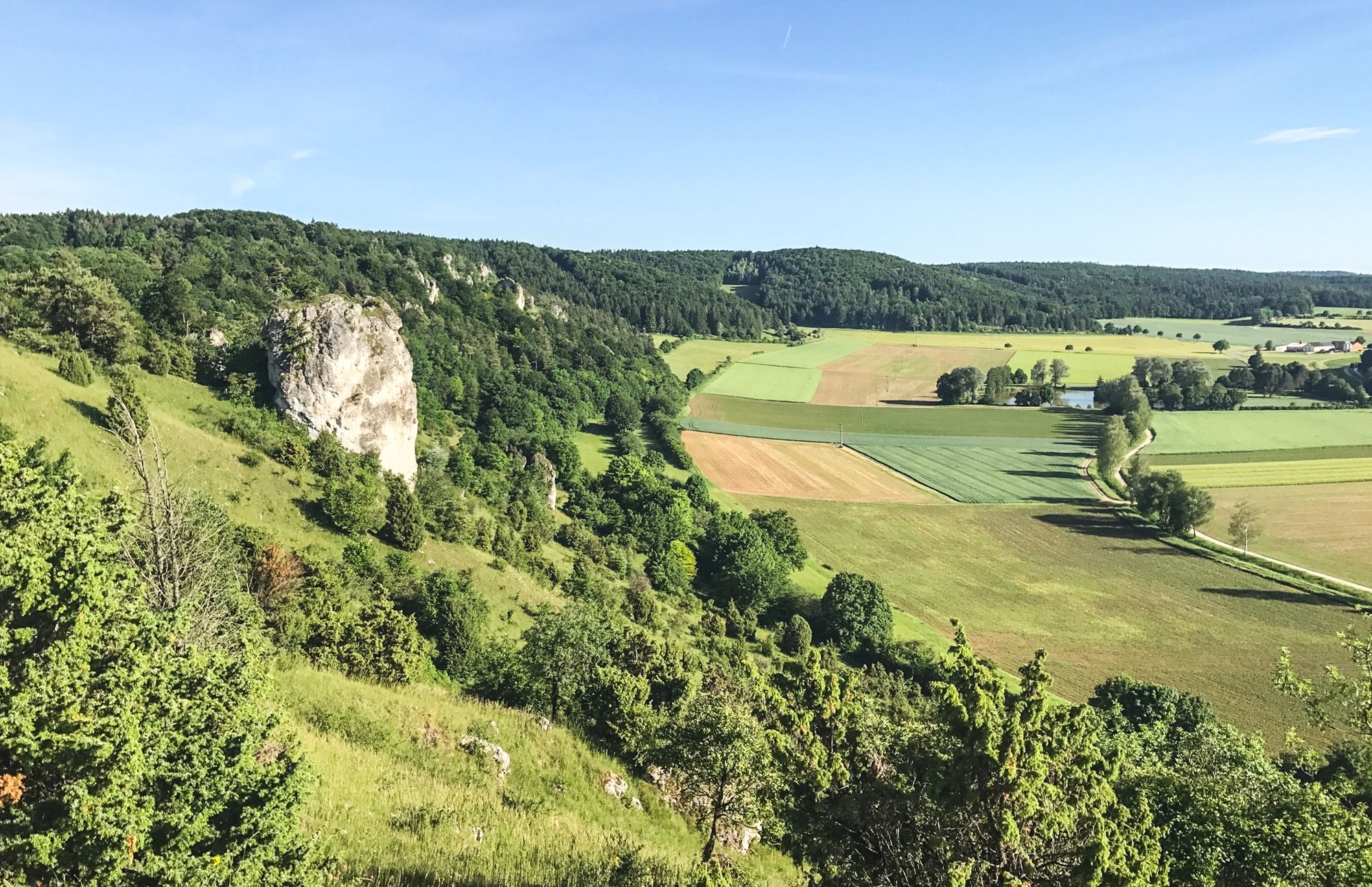
Between Altmühltal & Spruce Mountains – hiking in Franconia
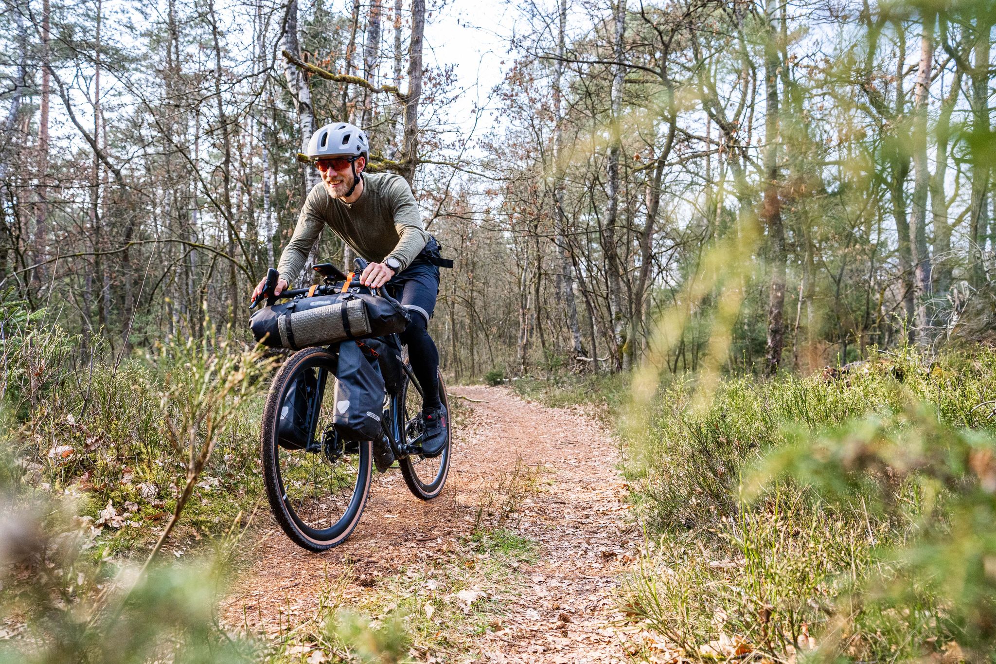
Gravel bikepacking from Hamburg to Munich
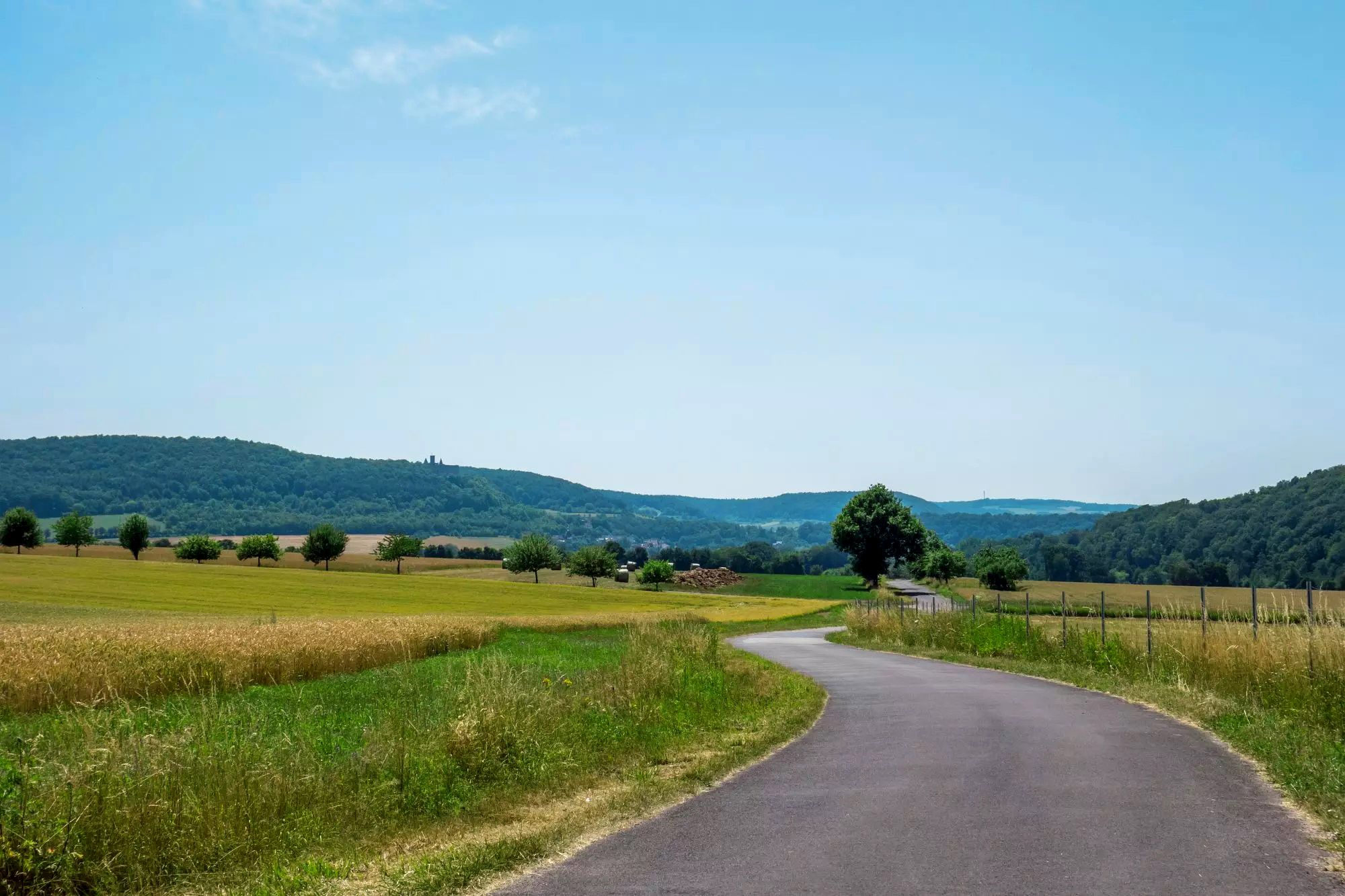
Rhön Cycleway in Germany – Cycling in the Land of Open Distances
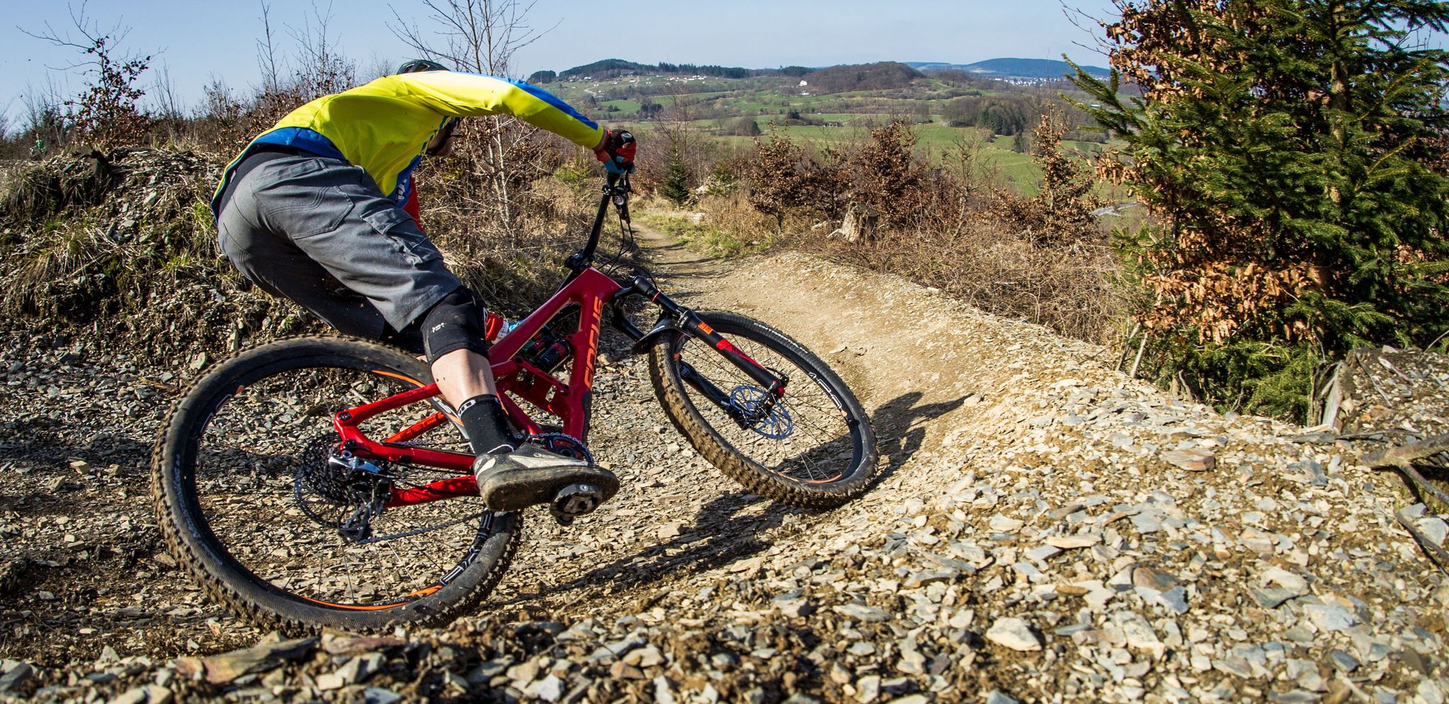
Flow Rider — trail fun for everyone
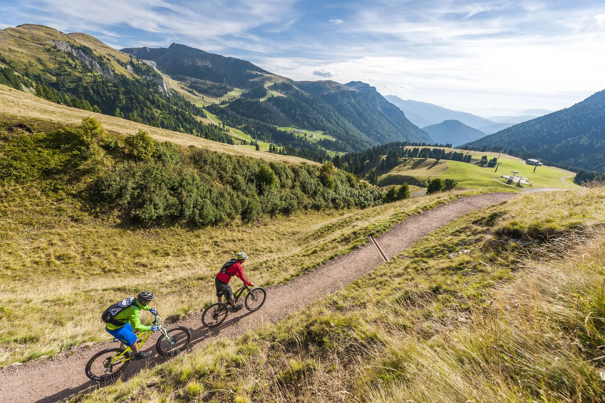
Supertrails — the long way down
Other adventures around Bischofsheim an der Rhön


Tips from the Community

The Kreuzberg in the Rhön has always attracted people as a place of power. In pre-Christian times, there was a sacred ash tree there, which is remembered by the old name "Aschberg". Since the Christianization of the Franks by St. Kilian and his companions in the year 686, the Kreuzberg has been considered the Holy Mountain of the Franks. The monastery, located just below the summit, was founded in 1644 by Franciscan monks. The pilgrimages are popular with the population, both from the surrounding area and traditionally from the Lower Franconian district town of Würzburg, which makes the long journey on foot to the pilgrimage church every year. Quelle: https://www.biosphaerenreservat-rhoen.de/mensch/tourismus-gastronomie-und-erholung/schaetze-der-rhoen/der-kreuzberg
1
0

A nice large parking lot. With e-charging stations and a kiosk. From here you can start directly or via hiking trails to the monastery.
0
0
Southwest of Bischofsheim, about halfway to the Kreuzberg, the ruins of the Osterburg are located on a basalt cone. The Osterburg, situated away from and high above Bischofsheim, was, just like the Walzburg, the High Middle Ages administrative center of Würzburg in the Brendtal and Kreuzberg area. It was also a border fortress against the Bishopric of Fulda and a military base in the dispute over the Dammersfeld. The origin, the reason for its construction, the builder, and the time of its creation are shrouded in mystery. Although much has been lost over time, what remains is spectacular. For example, during the excavation of the masonry by the association Freunde der Osterburg e.V., basalt columns over four meters high, which originally supported the castle, were uncovered. Source: https://www.rhoentravel.de/freizeitangebot/osterburg-bischofsheim/
1
0

Paving stones in muddy ground
0
0

An original photo stop with typical Rhön charm. Briefly stop, enjoy the view, and let the special atmosphere sink in – a little smile is almost mandatory here. 🚵♂️
0
0

Great place for a short break
0
0
The parking lot has a lot of space
0
0

Great stone embankment, made by nature :)
0
0
Frequently Asked Questions
How many easy hiking trails are available around Bischofsheim an der Rhön?
Bischofsheim an der Rhön offers a wide selection of easy hiking trails, with nearly 160 routes specifically categorized as easy. The entire region boasts over 330 hiking routes in total, catering to various preferences and abilities.
What kind of landscapes can I expect on easy hikes in Bischofsheim an der Rhön?
Easy hikes in Bischofsheim an der Rhön traverse picturesque hill ranges, extensive forests, and river valleys. As part of the UNESCO Biosphere Reserve, you'll experience the 'land of open distances' with sweeping panoramic views, especially from elevated points like the Kreuzberg. Unique moor landscapes, such as the Rotes Moor and Black Moor, also offer distinct natural experiences.
Are there any family-friendly easy hikes in the area?
Yes, many easy trails around Bischofsheim an der Rhön are suitable for families. Routes that explore the tranquil area around the Rothsee, such as the Rothsee parking lot – Fisherman's Hut at Rothsee loop, are generally well-suited for a leisurely family outing. The region's commitment to sustainable living as a 'Cittaslow' town also means a focus on accessible and enjoyable outdoor experiences.
Can I bring my dog on the easy hiking trails?
Most easy hiking trails in the Rhön Biosphere Reserve are dog-friendly, provided your dog is kept on a leash, especially in nature protection areas or near livestock. It's always a good idea to check specific trail regulations, but generally, the natural paths are welcoming for you and your canine companion.
Are there any circular easy walks available?
Yes, many easy routes around Bischofsheim an der Rhön are designed as circular walks, allowing you to start and end at the same point. For example, the View of Sandberg – Kreuzberg Summit Cross loop offers a scenic circular path with views towards the prominent Kreuzberg Summit Cross.
What interesting landmarks or attractions can I see on an easy hike?
Easy hikes can lead you to several interesting landmarks. You might encounter the iconic Kreuzberg Summit Cross, or explore the area around the Kreuzberg Monastery, famous for its brewery. The historic old town of Bischofsheim itself, with its Zentturm and wood carvings, is also a charming place to explore after a walk.
Are there any waterfalls or gorges accessible on easy trails?
While not directly on every easy trail, the region around Bischofsheim an der Rhön is home to several beautiful water features. You can find highlights like the Cascade Gorge, Eisgraben Waterfall, and the Devil's Mill Waterfall. Some of these are accessible via shorter, easier paths or can be combined with a gentle walk.
What do other hikers say about the easy trails in Bischofsheim an der Rhön?
The easy trails in Bischofsheim an der Rhön are highly regarded by the komoot community, with an average rating of 4.6 stars from over 5,000 reviews. Hikers often praise the well-marked paths, the diverse natural scenery, and the panoramic views that make these routes particularly enjoyable.
Are there options for short walks with easy parking access?
Yes, many easy trails are designed with convenient parking in mind. Routes around the Rothsee, for instance, often have dedicated parking areas. The Kreuzberg Summit Cross – Kreuzberg Monastery loop is a shorter option that can be accessed from parking near the monastery.
Can I reach hiking trails using public transport in Bischofsheim an der Rhön?
Bischofsheim an der Rhön, as a recognized recreation area, has public transport connections that can help you access various parts of the Rhön. While specific bus routes to every trailhead may vary, the town itself is a good starting point, and local services often connect to popular hiking hubs. It's advisable to check local bus schedules for the most current information.
What is the typical duration for an easy hike in this region?
Easy hikes around Bischofsheim an der Rhön vary in length, but many can be completed within 1.5 to 2.5 hours. For example, the The steps up to Kreuzberg – Gemündener Hut loop typically takes about 1 hour 51 minutes, offering a rewarding experience without being overly strenuous.
Are there any easy trails that offer views of the Kreuzberg?
Absolutely. The Kreuzberg is a prominent feature in the landscape, and several easy trails offer stunning views of or from it. The View of Sandberg – Kreuzberg Summit Cross loop is specifically designed to provide excellent vistas towards the Kreuzberg Summit Cross, while the On the Kreuzberg – Kreuzberg Monastery loop takes you directly onto the mountain itself.
Most popular routes around Bischofsheim an der Rhön
Most popular attractions around Bischofsheim an der Rhön

Get inspired with the komoot mobile app


Explore more
Browse the best Hikes in other regions.
