The best walks and hikes around gmina Piwniczna-Zdrój
4.7
(1584)
25,309
hikers
107
hikes
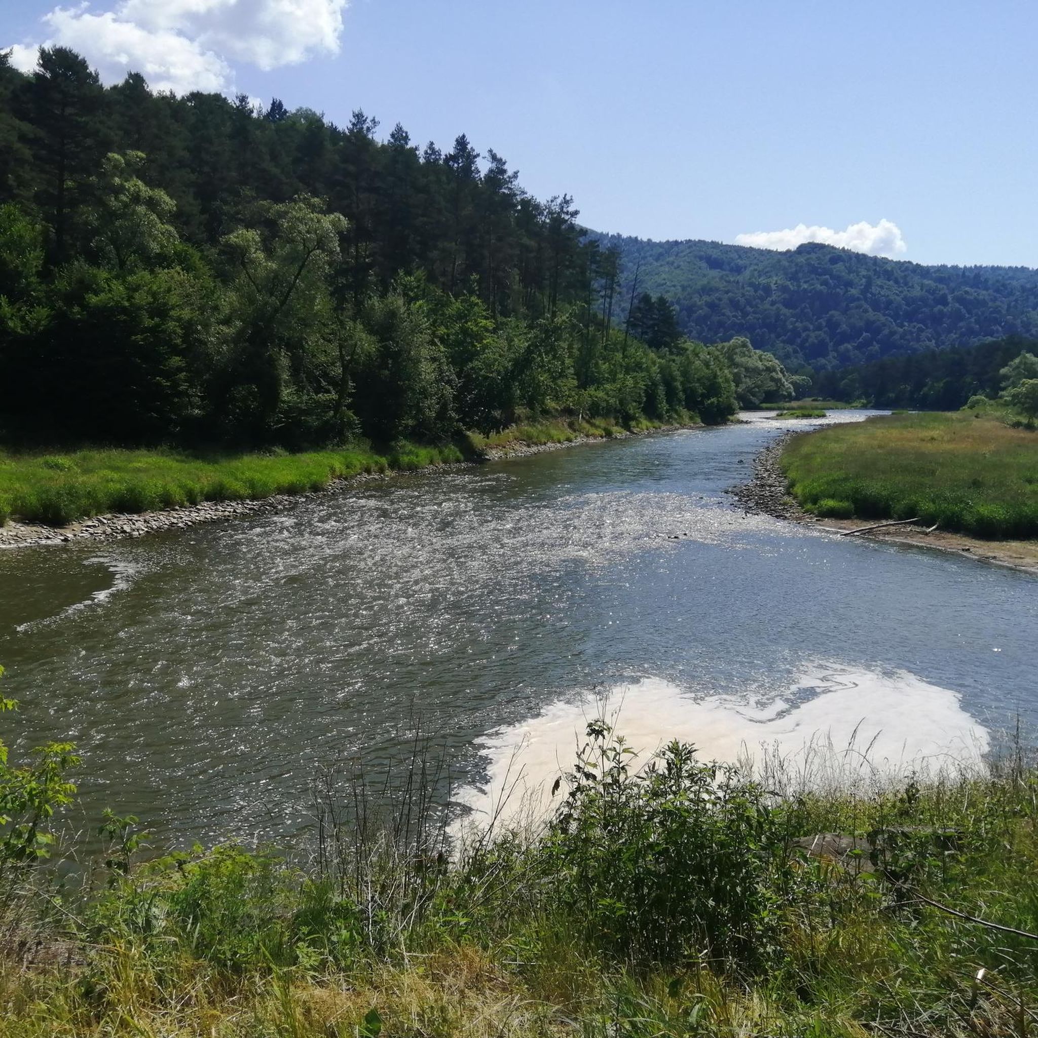
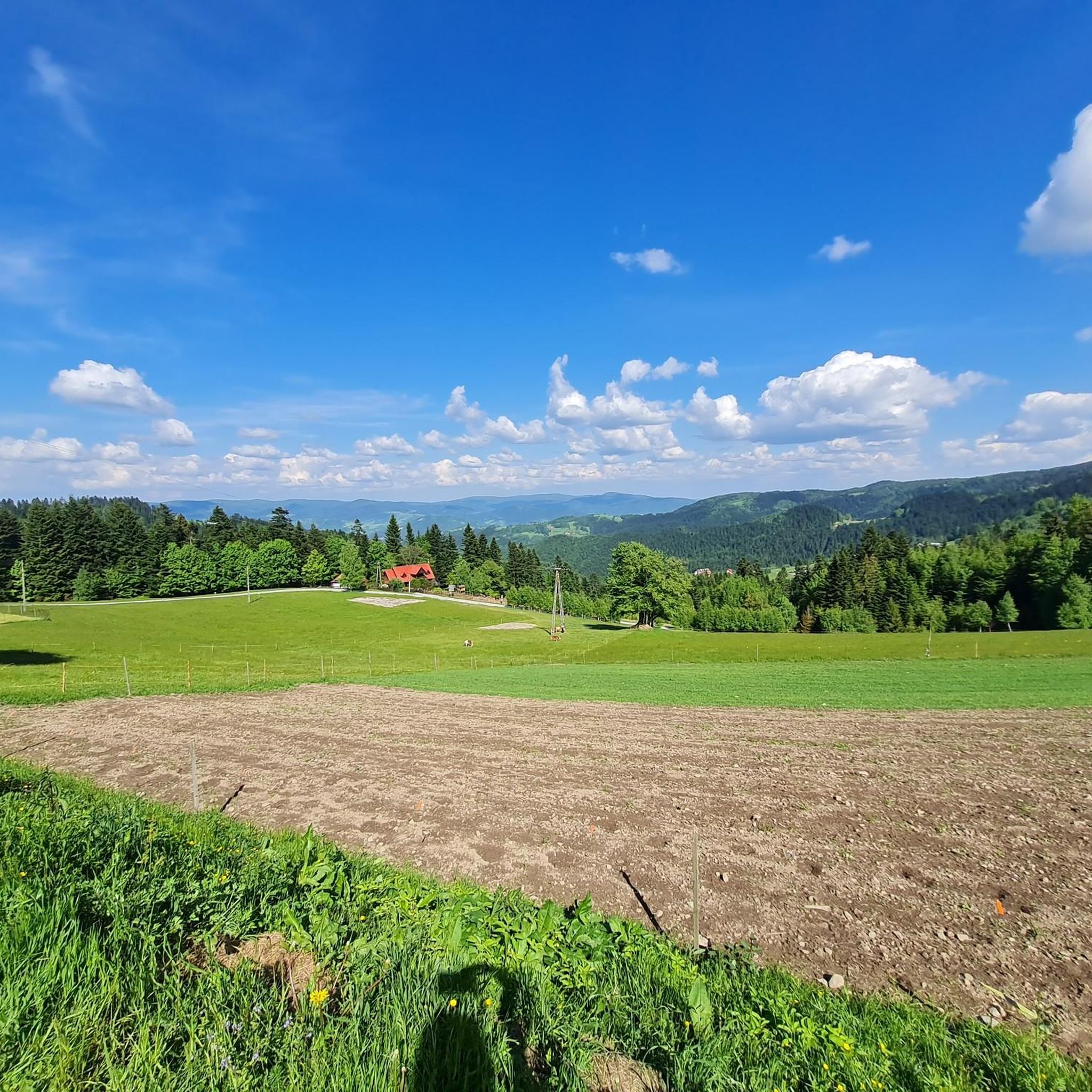
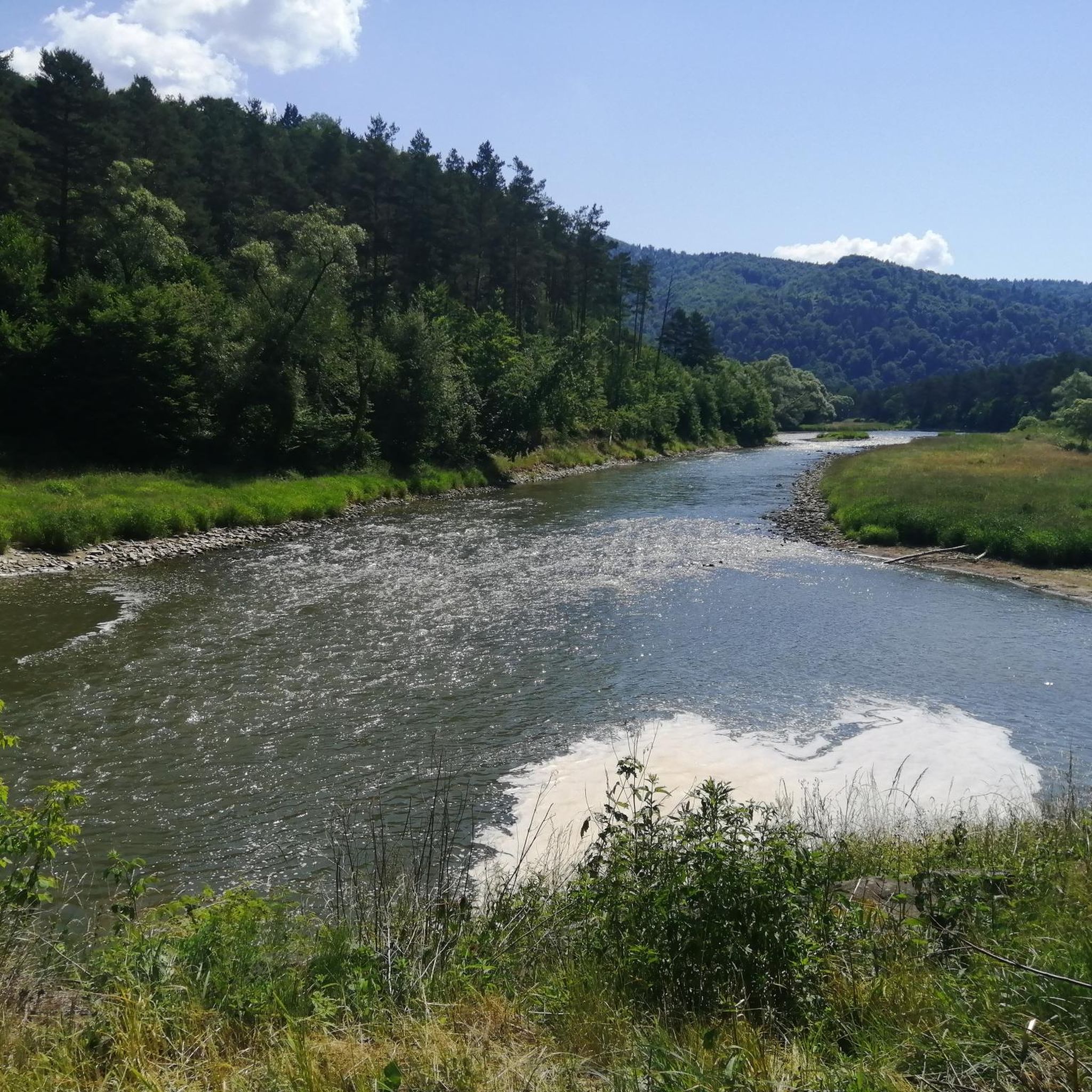
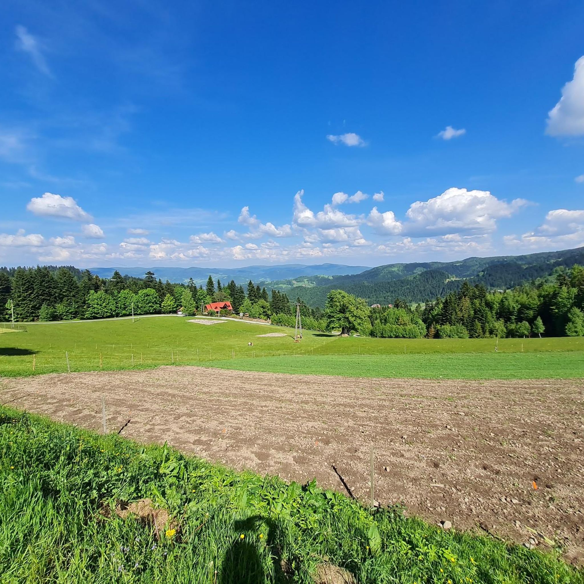
Hiking around gmina Piwniczna-Zdrój offers diverse terrain within the Poprad River valley and the Poprad Landscape Park. The region is characterized by mountainous landscapes, including peaks such as Radziejowa (1262m) in the Beskid Sądecki mountain range. Trails provide views of the Poprad River valley and, from higher elevations, distant panoramas including the Tatra Mountains. This area features a network of trails suitable for various fitness levels, traversing natural monuments and mountain passes.
Best hiking trails around gmina Piwniczna-Zdrój
- The most popular hiking route is Hala Labowska from Lomnica Zdroj: Poprad Landscape Park, a difficult 22.0 miles (35.4 km) trail that takes 7 hours 2 minutes to complete. This route ascends through the Poprad Landscape Park, offering extensive mountain views.
- Another top favourite among local hikers is Nursery Pass – Obidza Pass loop from Obidza, a moderate 4.6 miles (7.4 km) path. This loop provides a balanced experience through forested areas and open passes.
- Local hikers also love the White Water Nature Reserve – Obidza Pass loop from Chata "Magóry", a 11.7 miles (18.9 km) trail leading through varied mountain terrain, often completed in about 5 hours 55 minutes.
- Hiking around gmina Piwniczna-Zdrój is defined by mountainous terrain, river valleys, and protected natural parks. The extensive network of trails offers options for different ability levels, from easy walks to challenging full-day excursions.
- The routes in gmina Piwniczna-Zdrój are highly rated by the komoot community with an average score of 4.5 stars from over 160 reviews. More than 2,800 hikers have used komoot to explore gmina Piwniczna-Zdrój's varied terrain.
Last updated: August 22, 2026
4.5
(4)
63
hikers
22.0km
07:01
910m
910m
Hard hike. Very good fitness required. Easily-accessible paths. Suitable for all skill levels.
4.8
(45)
1,008
hikers
10.6km
03:35
530m
530m
Moderate hike. Good fitness required. Easily-accessible paths. Suitable for all skill levels.

Sign up for free
4.7
(22)
263
hikers
18.9km
05:55
710m
710m
Hard hike. Very good fitness required. Easily-accessible paths. Suitable for all skill levels.
4.7
(6)
94
hikers
24.1km
07:50
1,040m
1,040m
Hard hike. Very good fitness required. Easily-accessible paths. Suitable for all skill levels.
5.0
(4)
113
hikers
20.7km
06:46
900m
900m
Hard hike. Very good fitness required. Easily-accessible paths. Suitable for all skill levels.
Get access to more routes and recommendations from other explorers.
Sign up for free
Already have an account?
Our route recommendations are based on thousands of hikes, rides, and runs completed by other people on komoot.
Start today with a free account
Your next adventure awaits.
Login or Signup
Popular around gmina Piwniczna-Zdrój

Main Beskids Trail — the longest Polish Mountain Trail
Road Cycling Routes around gmina Piwniczna-Zdrój
MTB Trails around gmina Piwniczna-Zdrój
Cycling around gmina Piwniczna-Zdrój
Running Trails around gmina Piwniczna-Zdrój

Gravel biking around gmina Piwniczna-Zdrój

Mountain Hikes around gmina Piwniczna-Zdrój
Other adventures around gmina Piwniczna-Zdrój

Tips from the Community

More information and photos: https://kgp.info.pl/wykaz-szczytow/radziejowa-2/ https://goryaktywnie.pl/radziejowa https://pl.wikipedia.org/wiki/Radziejowa https://www.skalnik.pl/blog/korona-gor-polski-radziejowa/ https://portalgorski.pl/artykuly/leksykon-gor/polska/350-beskidy/1422-leksykon-szczytow-beskidzkich-radziejowa
1
0
More information and photos: https://www.beskidsadecki.eu/index.php?id=sadecki_przelecze&sk=PrzeleczZlobki https://goryaktywnie.pl/przelecz-zlobki https://pl.wikipedia.org/wiki/%C5%BB%C5%82obki_(prze%C5%82%C4%99cz)
1
0

The tower as well as the place itself are worth visiting. I recommend.
0
0
In nice weather, the panorama of the Tatra Mountains looks impressive.
0
0

A picturesque place at any time of the year
0
0
A simple and short walking trail on flat terrain
0
0

Difficult descent to the Żłobki Pass
0
1

The pass separating Radziejowa from Wielki Rogacz, at an altitude of 1,104 meters above sea level, is forested, but on its northern side there are superb views of Mała Roztoka. Beautiful!
1
0
Frequently Asked Questions
What types of hiking trails can I find in gmina Piwniczna-Zdrój?
Gmina Piwniczna-Zdrój offers a diverse network of trails, ranging from easy walks to challenging full-day excursions. The terrain includes mountainous landscapes, river valleys, and protected natural parks within the Poprad River valley and the Poprad Landscape Park. You'll find trails suitable for various fitness levels, with options for both casual strollers and experienced trekkers.
How many hiking trails are available in gmina Piwniczna-Zdrój?
There are nearly 100 hiking routes recorded in gmina Piwniczna-Zdrój on komoot. These include 25 easy trails, 44 moderate trails, and 29 difficult trails, ensuring options for every skill level.
What natural features or landmarks can I see while hiking?
The region is rich in natural beauty and landmarks. You can enjoy panoramic views of the Poprad River valley and the town of Piwniczna-Zdrój. Higher elevations offer distant views, including the Tatra Mountains on clear days. Notable natural features include the Viewing tower on Radziejowa, the highest peak of the Beskid Sądecki mountain range, and the Homole Gorge Nature Reserve. You might also encounter natural monuments and mountain passes.
Are there easy hiking trails suitable for families or beginners?
Yes, gmina Piwniczna-Zdrój has 25 easy hiking trails, typically under 2 hours with less than 300 meters of elevation gain, making them suitable for all fitness levels and often kid-friendly. An example is the "Gromadzka Pass in Obidza loop from Obidza" which is 6.43km.
What is the best time of year to hike in gmina Piwniczna-Zdrój?
The mountainous climate of gmina Piwniczna-Zdrój makes spring, summer, and early autumn ideal for hiking, offering pleasant temperatures and vibrant scenery. While winter hiking is possible, it requires appropriate gear and experience due to snow and colder conditions.
Are there any circular hiking routes in the area?
Yes, many trails in gmina Piwniczna-Zdrój are designed as loops, providing varied scenery without retracing your steps. For example, the Nursery Pass – Obidza Pass loop from Obidza is a moderate 7.4 km path, and the White Water Nature Reserve – Obidza Pass loop from Chata "Magóry" is a longer 18.9 km option.
What do other hikers enjoy most about hiking in gmina Piwniczna-Zdrój?
The area is highly rated by the komoot community, with an average score of 4.5 stars from over 160 reviews. Hikers often praise the stunning mountain views, the well-maintained trails, and the diverse landscapes that include river valleys and dense forests.
Are there places to rest or find refreshments along the trails?
Yes, the region features mountain huts, known as 'bacówki,' which serve as popular attractions and convenient resting points. For longer routes, such as the one leading to Przehyba (1175m), you can find hostels offering food and accommodation.
Can I reach the trailheads using public transport?
While specific public transport details for all trailheads are not readily available, the region is situated within the Poprad River valley, and the town of Piwniczna-Zdrój itself is a known starting point for many routes. It is advisable to check local transport schedules for connections to specific villages or starting points.
Are dogs allowed on the hiking trails in gmina Piwniczna-Zdrój?
Generally, dogs are welcome on hiking trails in the region. However, it's always recommended to keep them on a leash, especially in protected areas like the Poprad Landscape Park, and to be mindful of other hikers and wildlife. Please check for any specific local regulations or signage at trailheads.
What are some of the higher peaks I can hike to in the area?
Gmina Piwniczna-Zdrój is surrounded by significant peaks. You can hike to Radziejowa (1262m or 1263m), which is the highest peak of the Beskid Sądecki mountain range. Other notable peaks include Eliaszówka (1023m), Niemcowa (1026m), and Wielki Rogacz (1182m), offering challenging ascents and rewarding views.
Are there any historical routes or points of interest?
Yes, the region has historical significance for hikers. The Main Beskids Trail, Poland's longest mountain trail, passes through the area. You can also explore historic routes, such as the first tourist trail established in the Beskid Mountains in 1906, which led from Piwniczna through Eliaszówka.
Most popular routes around gmina Piwniczna-Zdrój
Most popular attractions around gmina Piwniczna-Zdrój

Get inspired with the komoot mobile app


Explore more
Browse the best Hikes in other regions.
