The best walks and hikes around Obryte
4.9
(27)
128
hikers
20
hikes
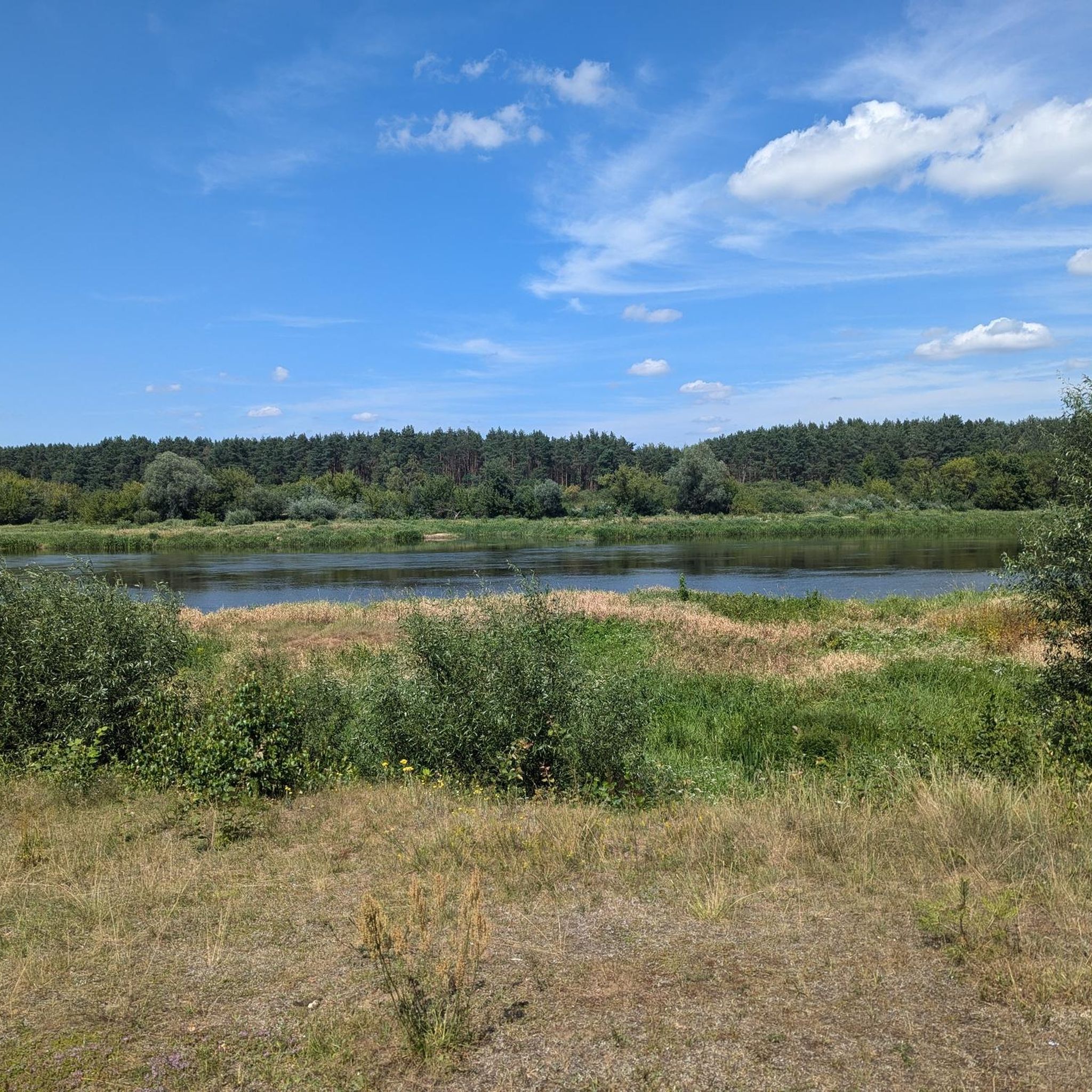
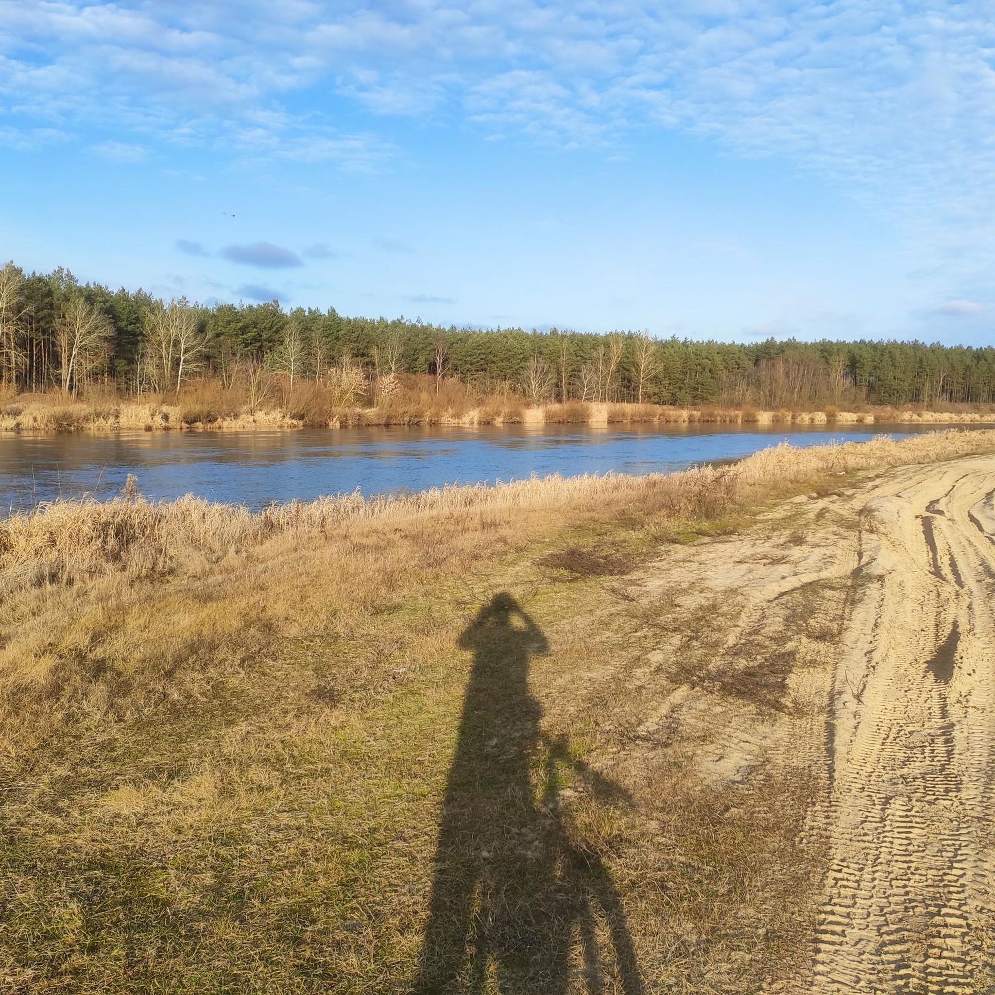
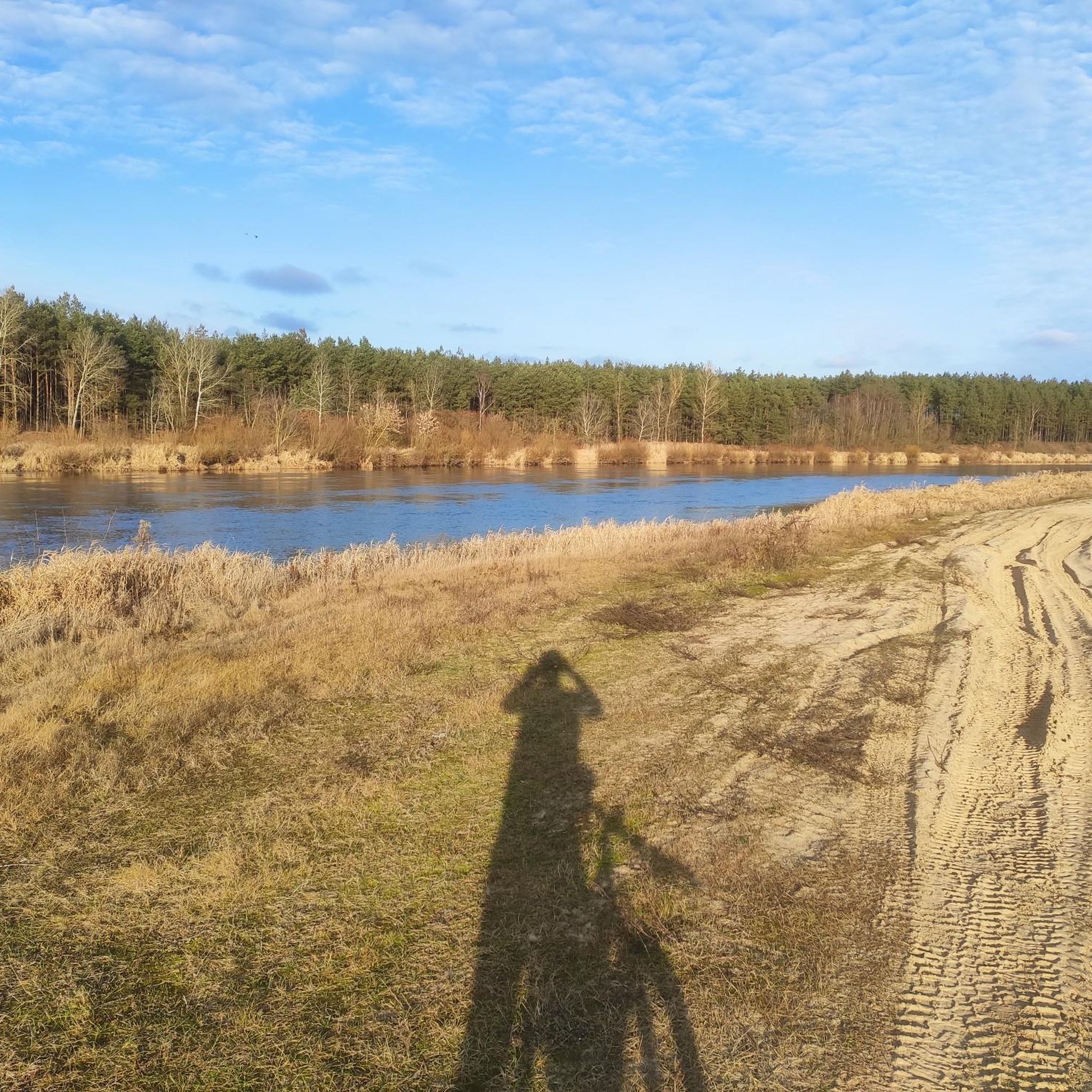
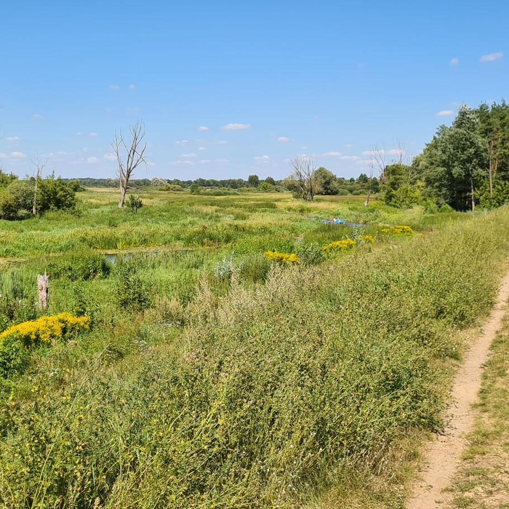
Hiking around Obryte offers diverse natural landscapes, extensive forest areas, and significant river systems in northeastern Poland. The region is characterized by the vast Puszcza Biała (White Forest) to the south, predominantly featuring pine stands and protected nature reserves. To the north, the Narew River defines the border, presenting a unique multi-channel river system with wetlands. This varied terrain provides a range of outdoor experiences for hikers.
Best hiking trails around Obryte
- The most popular hiking route is Viewpoint loop…
Last updated: October 29, 2026
5.0
(7)
28
hikers
5.05km
01:17
20m
20m
Easy hike. Easily walkable paths.
5.0
(7)
29
hikers
8.06km
02:03
20m
20m
Moderate hike. Good fitness required. Easily walkable paths.

4.7
(3)
24
hikers
6.34km
01:37
20m
20m
Easy hike. Easily walkable paths.
5.0
(4)
11
hikers
8.38km
02:09
30m
30m
Moderate hike. Good fitness required. Easily walkable paths.
5.0
(1)
7
hikers
Easy hike. Easily walkable paths.
Get access to more routes and recommendations from other explorers.
Already have an account?
Our route recommendations are based on thousands of hikes, rides, and runs completed by other people on komoot.
Start today with a free account
Your next adventure awaits.
Tips from the Community


"The history of the town hall dates back to the early 15th century. Bishop Jakub of Płock is said to have funded the seat of the town authorities in 1405. The Gothic tower added to the town hall fulfilled both judicial and penitentiary functions as well as defense. Initially, it reached a height of 15 m and was built on a rectangular plan. During the 15th and 16th centuries, it was gradually raised, with additional storeys built on an octagonal plan. A new town hall was also built - lower, more modern - in the Renaissance style, topped with a crested attic. The 30-meter tower at that time gained a domed spire with a lantern, and a clock was also ordered for it. During the wars in the 17th and 18th centuries, the town hall burned down several times. In 1728, it was rebuilt with funds from Bishop Andrzej Stanisław Kostka Załuski. The two-bay building surrounded the tower in a horseshoe shape from the east. The entrance was located on the north and covered with a wooden arcade. The tower roof was changed to an octagonal one, and the clock was abandoned. In this form, the town hall survived until the end of the 19th century. At that time, in addition to the city authorities, the army was quartered here, and there was a prison and even warehouses for Pułtusk merchants. At the end of the 19th century, a shelter was organized in the ruined building, and from 1880, the ground floor and the tower were put into use by the Volunteer Fire Department. After 1902, a new, smaller building was erected on the site of the former building, in the neo-Gothic style, only for the use of the fire department. The tower was deprived of its roof, replacing it with an uncovered platform. It turned out to be completely non-functional and the original roof covering of the tower top was quickly restored. Also at that time, a clock was placed on the north side, on the seventh floor." Source: https://arch.pultusk.pl/wieza-dawnego-ratusza-gotycko-renesansowa/
1
0
Single Track Rząśnik, for big and small. cool, fast, a few places require caution, good to have low pressure https://43ride.com/wyjazdy/2023/singletrack-rzasnik-mazowsze/
1
0


Great route with bands, jumps, rock garden, drop. Professionally made, one of the few such places in Mazovia. I had the entire bike park to myself today. Great
0
0

Opposite is a bar-cafe. You can eat and drink coffee. In the summer, good ice cream with a view of the locals who meet on the benches nearby.
0
0

The Singletrack Bagno Pulwy in Rząśnik is supposed to be passable for practically everyone and its basic route is easy. Additional elements and the rock garden section slightly increase the level of difficulty, but anyone who does not feel up to it can bypass them by sticking to the main line. In my opinion, this is a great place for beginners and those who are planning their first trips to the mountains on more difficult routes. Singletrack full of moguls and gently profiled turns will be a great training ground for learning the technique of overcoming this type of obstacle. After training on such a route, it will be much easier for people who would like to ride bike parks and flow routes in the future. It will also work great as a training XC route. Thanks to the great fluidity of the entire loop, you can specifically train maintaining speed and polish your technique on alternative obstacles. In several places, the route is intersected by ordinary forest roads, which also allow you to train smaller loops. Cyclists focused on enduro and terrain should not kid themselves that this is the terrain and route for them. Knowing well the realities of flat as a table Mazovia, Singletrack in Rząśnik is a really good alternative to places like Kampinos, Wieliszew or Stara Miłosna. This loop will also be an ideal choice for an interesting family trip. https://43ride.com/wyjazdy/2023/singletrack-rzasnik-mazowsze/
4
0
The official name of the route is "Singletrack Bagno Pulwy", but don't worry, you definitely won't be sinking into mud up to your axles. The name refers to the swamp located below the aforementioned escarpment. The route is a one-way loop, which is 8.7 km long in total. The elevation profile is not very impressive because it fluctuates around 30 meters of elevation, but the route has been designed so that it doesn't get boring for a moment. The team responsible for the Singletrack project in Rząśnik is responsible for the largest singletrack network in Europe, Singletrack Glacensis. The path that cyclists ride on has been specially paved along its entire length so that the wheels roll as best as possible. While riding, you alternate between short climbs and descents. Despite the small elevation gains, you can sometimes catch a good flow and accelerate nicely, and even sometimes lift off the ground. The entire loop at an average pace takes about 25 minutes (the fastest reportedly do it in 19 minutes). https://43ride.com/wyjazdy/2023/singletrack-rzasnik-mazowsze/
4
0
Frequently Asked Questions
What kind of landscape can I expect when hiking around Obryte?
Obryte offers a diverse natural landscape, primarily characterized by the vast Puszcza Biała (White Forest) to the south, dominated by pine stands and several nature reserves. To the north, the Narew River, often called the 'Polish Amazon,' presents a unique multi-channel river system with wetlands and abundant birdlife. You'll find a mix of dense woodlands, riverine environments, and open areas.
Are there easy hiking trails suitable for beginners or families in Obryte?
Yes, Obryte has a good selection of easy trails. For instance, the Viewpoint loop from Rezerwat Popławy is an easy 3.5-mile (5.7 km) route that takes about 1 hour 27 minutes, leading through a nature reserve known for its old-growth pine stands. There are 13 easy routes available, making it suitable for various fitness levels.
What are some notable natural features or reserves to explore while hiking?
The region is rich in natural features. The Puszcza Biała contains several nature reserves like 'Bartnia' with old-growth pine stands, 'Popławy' with impressive 180-year-old pines, and 'Wielgolas' known for its rich birdlife. The Narew River also features a unique footbridge between Waniewo and Śliwno, offering an immersive experience in the marshy river valley.
Are there any circular hiking routes in the Obryte area?
Yes, many of the hiking routes around Obryte are designed as loops. Examples include the Viewpoint loop from Rezerwat Popławy and the Viewpoint loop from Grabówiec, both offering scenic circular paths through the local landscape.
What can I see in terms of historical sites or landmarks near the hiking trails?
While hiking, you can explore historical sites in nearby Pułtusk. The Pułtusk Castle – Pułtusk Town Hall Tower loop from Pułtusk is a 3.9-mile (6.3 km) trail that takes you through the town's historical center. Notable attractions include the Pułtusk Town Hall Tower and the Pułtusk Market Square.
Is Obryte a good destination for dog-friendly hiking?
The extensive forest areas of Puszcza Biała and the general rural character of Obryte make it suitable for hiking with dogs. Always ensure your dog is under control, especially in nature reserves or near wildlife, and check local regulations for specific areas.
What do other hikers say about the trails in Obryte?
The hiking routes in Obryte are highly regarded by the komoot community, with an average score of 4.8 stars from over 20 reviews. Hikers often praise the quiet woodlands, the unique river landscapes, and the variety of trails available for different ability levels.
Are there any specific viewpoints or scenic spots along the trails?
Yes, several routes are named for their scenic views. The Viewpoint loop from Rezerwat Popławy and the Viewpoint loop from Grabówiec both offer excellent opportunities to enjoy panoramic vistas over the surrounding forest landscape.
What is the best season for hiking in Obryte?
Obryte offers appealing hiking opportunities throughout the year. Spring brings lush greenery and blooming flora, while autumn showcases vibrant fall colors in the forests. Summer is ideal for enjoying the river systems, and even winter can be beautiful for crisp, quiet walks, especially in the snow-covered Puszcza Biała.
Are there any places to eat or find amenities near the hiking trails?
While the immediate vicinity of some trails might be remote, the nearby town of Pułtusk, which is also a starting point for several hikes, offers various amenities including places to eat and shops. It's advisable to carry sufficient water and snacks, especially on longer routes.
Do I need a permit to hike in the nature reserves or Puszcza Biała?
Generally, no specific permit is required for hiking on marked trails within Puszcza Biała or its nature reserves, as long as you stick to designated paths. The forest is part of the Natura 2000 ecological network, emphasizing conservation, so always respect the natural environment and follow any posted rules.
How many hiking routes are available in the Obryte region?
There are 18 hiking routes available in the Obryte region, offering a variety of distances and difficulty levels to suit different preferences.
Most popular attractions around Obryte

Get inspired with the komoot mobile app


Explore more
Browse the best Hikes in other regions.
