The best running trails around gmina Olszanica
4.1
(8)
585
runners
88
runs
Jogging routes Gmina Olszanica traverse a diverse landscape within southeastern Poland's Subcarpathian Voivodeship, characterized by its location in the Słonne Mountains Landscape Park. The region offers varied terrain for running, including forest tracks, field paths, and sections along the San River. Natural monuments and picturesque views contribute to the scenic appeal of the running experience.
Best jogging routes in gmina Olszanica
- The most popular jogging route is Grodzisko średniowieczne loop from Rezerwat Bobry w Uhercach, a 3.6 miles (5.7…
Last updated: August 20, 2026
15
runners
5.73km
00:37
50m
50m
Moderate run. Good fitness required. Mostly paved surfaces. Suitable for all skill levels.
1.0
(1)
22
runners
Moderate run. Good fitness required. Mostly paved surfaces. Suitable for all skill levels.

Sign up for free
9
runners
Moderate run. Good fitness required. Mostly paved surfaces. Suitable for all skill levels.
9
runners
Moderate run. Good fitness required. Mostly paved surfaces. Suitable for all skill levels.
5
runners
Moderate run. Good fitness required. Mostly paved surfaces. Suitable for all skill levels.
Get access to more routes and recommendations from other explorers.
Sign up for free
Already have an account?
Our route recommendations are based on thousands of hikes, rides, and runs completed by other people on komoot.
Start today with a free account
Your next adventure awaits.
Login or Signup
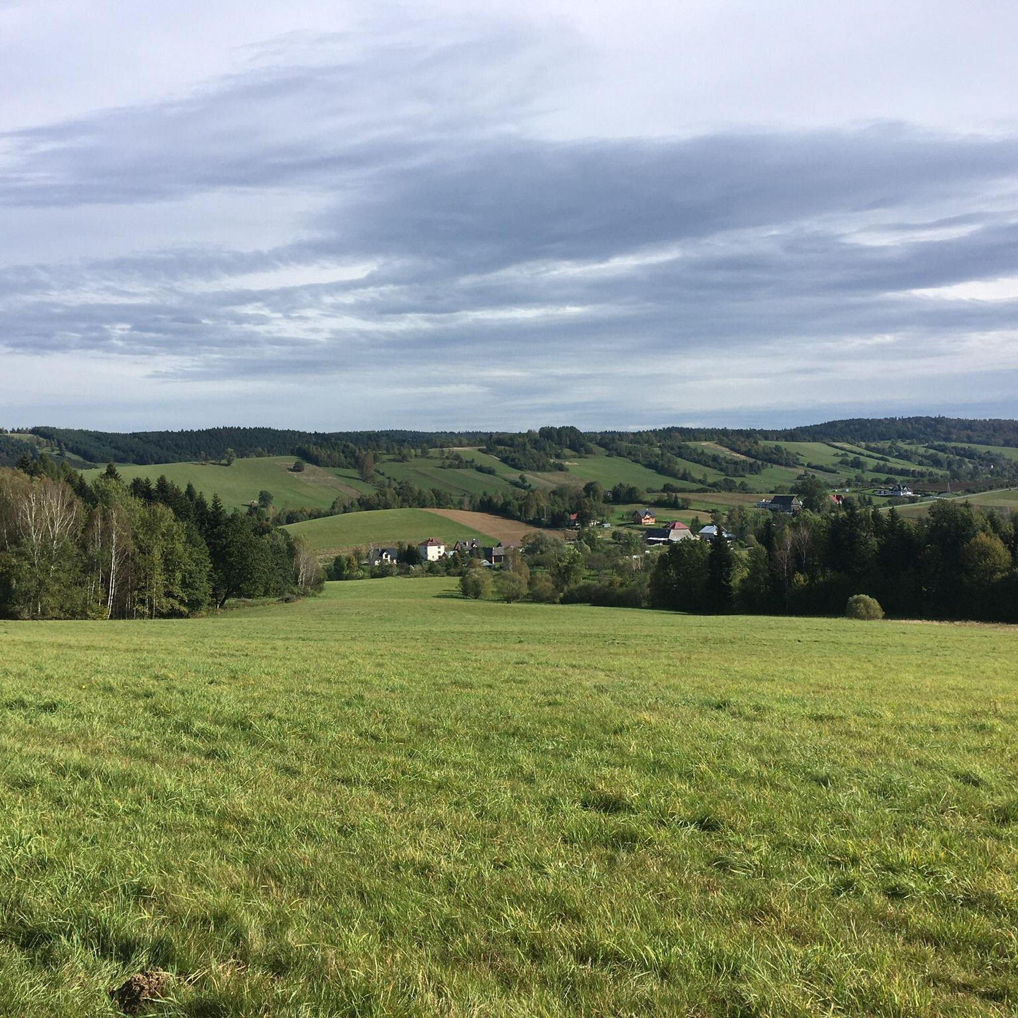
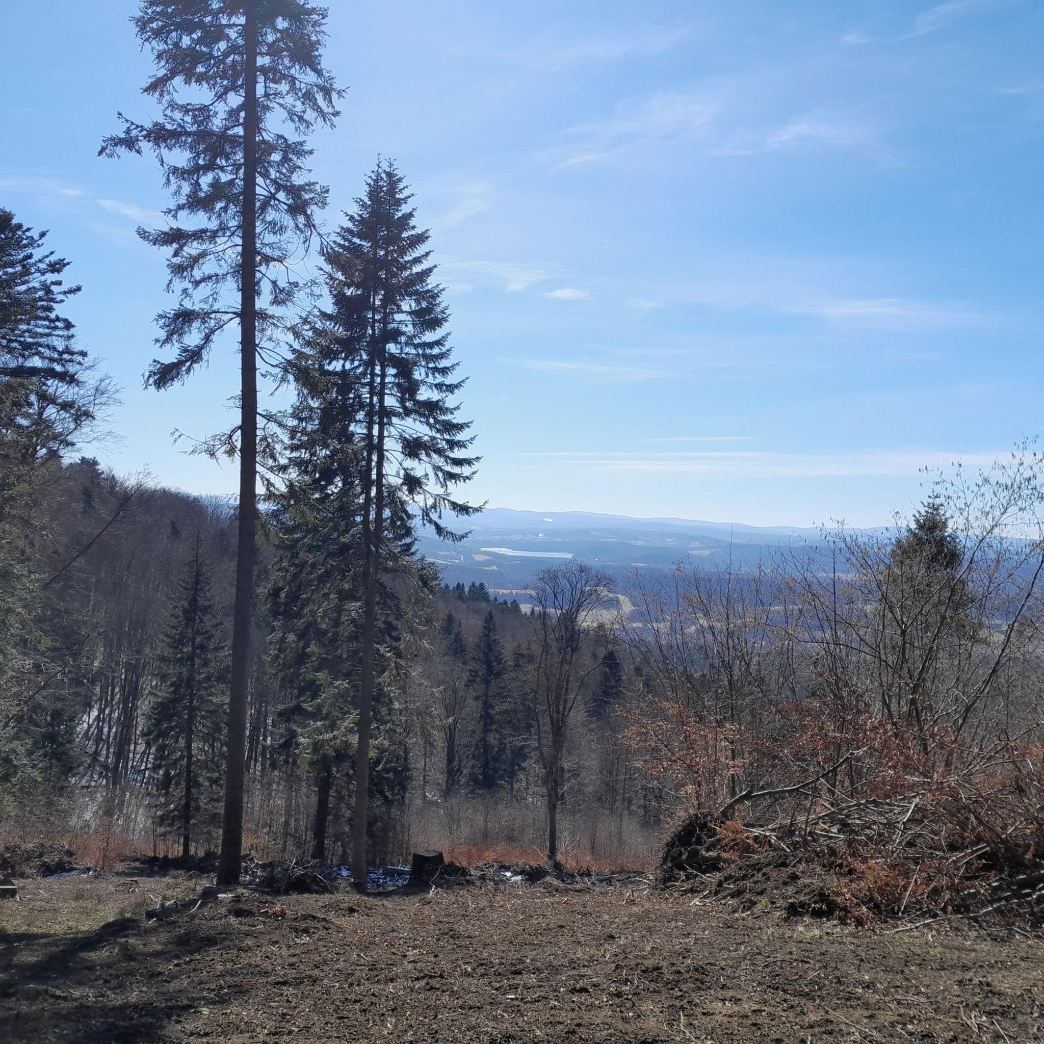
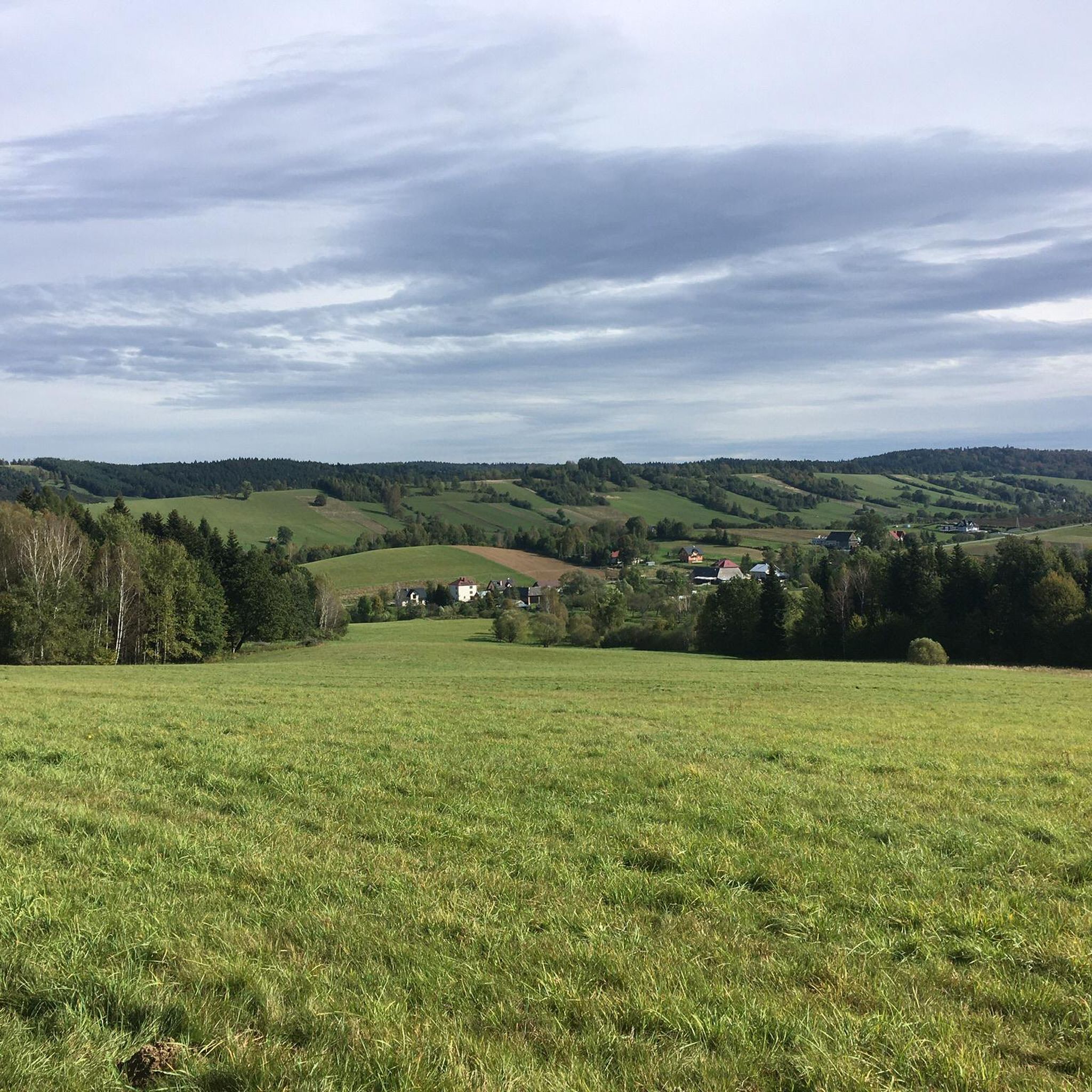
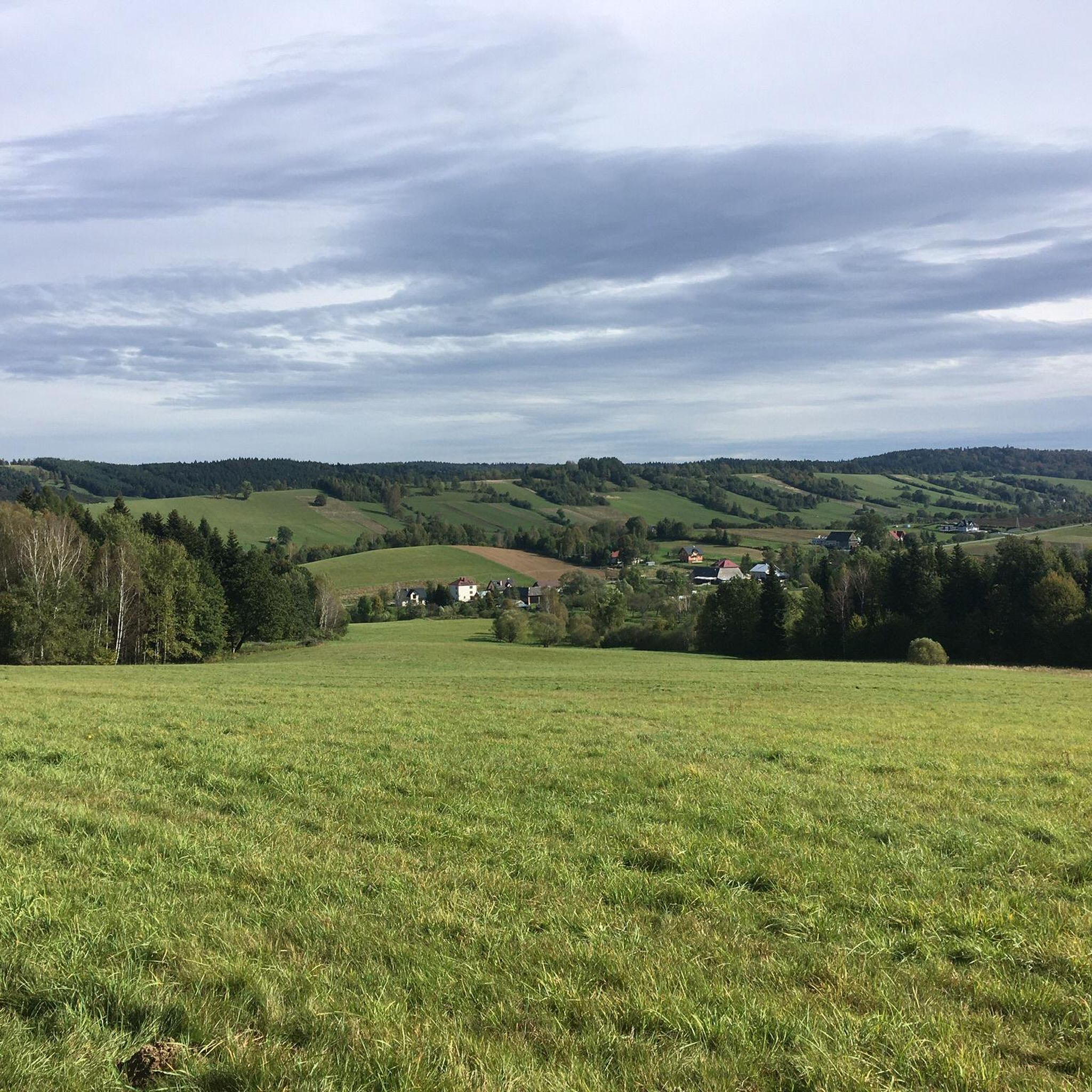
Tips from the Community


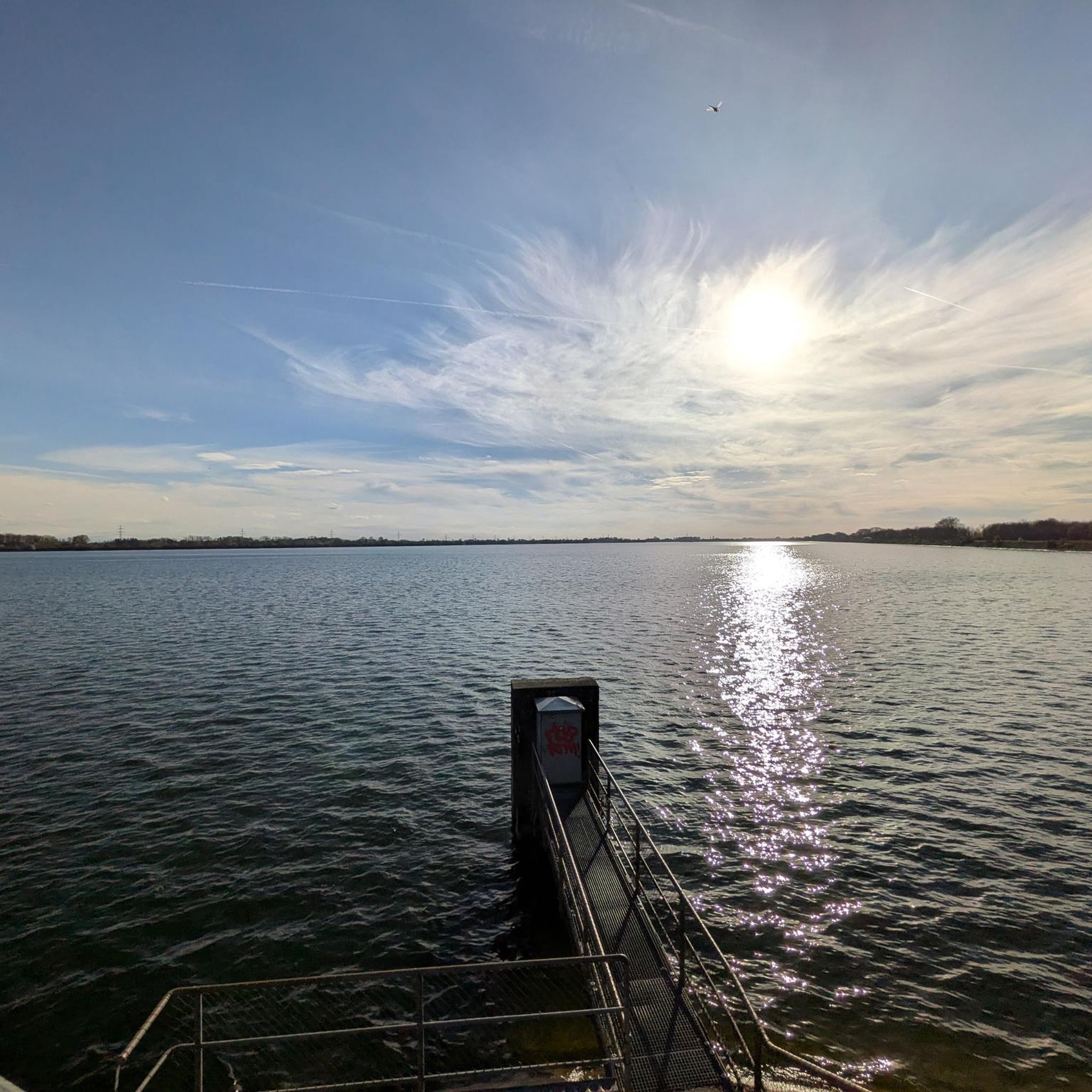
View of the San from the bridge just before the dam in Solina.
0
0

You can ride a bike, but in the season there are cruel crowds of people.
0
0

The hydroelectric dam in Myczkowce is one of two dams on the Bieszczady section of the San, which was built as part of the Solina-Myczkowce Hydroelectric Power Plant Complex. The dam creates Lake Myczkowskie.
1
0

A wonderful view of Lake Solina from the dam. Right next to it there is a gondola station that will take us to the viewing point.
4
0
A wonderful view from the dam in Myczkowce on the San River, which creates the largest artificial water reservoir in Poland in terms of capacity: Lake Solińskie.
2
0
Frequently Asked Questions
How many running routes are available in Gmina Olszanica?
There are over 75 running routes in Gmina Olszanica, offering a wide variety of options for different skill levels and preferences. The komoot community has mapped 79 routes in total.
What types of terrain can I expect on jogging routes in Gmina Olszanica?
Jogging routes in Gmina Olszanica feature diverse terrain, including forest tracks, field paths, and sections along the San River. You might also encounter asphalt roads, sidewalks, and even a short stretch of historic 'cat's heads' pavement, especially within the Nordic Walking Park 'Gmina Olszanica'.
Are there any easy running routes suitable for beginners in Gmina Olszanica?
Yes, Gmina Olszanica offers several easy running routes. For instance, the Nordic Walking Park 'Gmina Olszanica' includes a 4.9 km green loop that is well-suited for beginners and casual runners. Overall, 5 easy routes are available in the region.
Can I find circular running routes in Gmina Olszanica?
Many of the running routes in Gmina Olszanica are circular. A popular option is the Grodzisko średniowieczne loop from Rezerwat Bobry w Uhercach, which is 5.7 km long and offers views along the San River.
What are some scenic viewpoints or natural attractions along the running trails?
The region is located within the Słonne Mountains Landscape Park, ensuring picturesque views. You can enjoy views of the San River on routes like the View of the San – Solina Dam loop from Rezerwat Nad Jeziorem Myczkowieckim. Other notable viewpoints include Kabajka and various spots offering views of Myczkowce Dam and Solina Dam.
Are the running routes in Gmina Olszanica suitable for families?
Yes, the diverse network of paths includes options suitable for families. The easier routes, particularly the green loop within the Nordic Walking Park 'Gmina Olszanica', are generally family-friendly. The varied terrain and natural setting make it an enjoyable experience for all.
Are dogs allowed on the jogging routes in Gmina Olszanica?
While specific rules for every trail aren't detailed, generally, dogs are welcome on outdoor trails in Poland, especially in rural areas like Gmina Olszanica. It's always recommended to keep dogs on a leash, especially in protected areas like the Słonne Mountains Landscape Park, and to clean up after them.
What do other runners enjoy most about jogging in Gmina Olszanica?
The running routes in Gmina Olszanica are highly rated by the komoot community, with an average score of 4.6 stars from 5 reviews. Runners often praise the diverse paths, the scenic beauty of the Słonne Mountains, and the tranquil sections along the San River.
Is there parking available near the trailheads in Gmina Olszanica?
Yes, for the Nordic Walking Park 'Gmina Olszanica', the starting point for its trails is conveniently located near the San River in Zwierzyń, where parking facilities are typically available. For other routes, parking can often be found in nearby villages or designated areas close to trail access points.
What is the best time of year to go running in Gmina Olszanica?
Gmina Olszanica offers good running conditions throughout much of the year. Spring and autumn provide pleasant temperatures and vibrant scenery. Summer is also popular, though it can be warmer. Winter running is possible, especially on the well-maintained paths of the Nordic Walking Park, which are also used for cross-country skiing.
Are there any longer, more challenging running routes in the area?
Yes, for those seeking a greater challenge, Gmina Olszanica offers more difficult routes. For example, the Nordic Walking Park includes a 9.3 km black loop. Overall, there are 27 difficult routes available, often featuring more significant elevation changes within the Słonne Mountains Landscape Park.
Can I combine my run with a visit to a historical site or landmark?
While the historic Juścińskich Palace in Olszanica is currently not publicly accessible, its surrounding scenic forest park and extensive water features, with many trees recognized as natural monuments, offer a glimpse into the region's heritage. Many routes pass through areas with natural monuments and historical context.
Most popular attractions around gmina Olszanica

Get inspired with the komoot mobile app


Explore more
Browse the best Running Trails & Routes in other regions.
