The best walks and hikes around gmina Olszanica
4.5
(327)
4,264
hikers
166
hikes
Hiking around gmina Olszanica offers a diverse landscape characterized by varied terrain and significant natural beauty. The region features naturalist forest parks with vast water features, including ancient oaks recognized as natural monuments. Its proximity to the Słonne Mountains Landscape Park further enhances its appeal for outdoor activities. Trails range from easily accessible paths to more challenging routes, catering to different fitness levels.
Best hiking trails around gmina Olszanica
- The most popular hiking route is Myczkowce Dam – Viewpoint loop…
Last updated: July 10, 2026
4.6
(5)
20
hikers
10.8km
03:03
210m
210m
Moderate hike. Good fitness required. Easily-accessible paths. Suitable for all skill levels.
4.0
(7)
19
hikers
Moderate hike. Good fitness required. Easily-accessible paths. Suitable for all skill levels.

Sign up for free
4.5
(4)
13
hikers
Moderate hike. Good fitness required. Easily-accessible paths. Suitable for all skill levels.
4.2
(6)
13
hikers
Moderate hike. Good fitness required. Easily-accessible paths. Suitable for all skill levels.
17
hikers
3.97km
01:01
20m
20m
Easy hike. Great for any fitness level. Easily-accessible paths. Suitable for all skill levels.
Get access to more routes and recommendations from other explorers.
Sign up for free
Already have an account?
Our route recommendations are based on thousands of hikes, rides, and runs completed by other people on komoot.
Start today with a free account
Your next adventure awaits.
Login or Signup
Tips from the Community

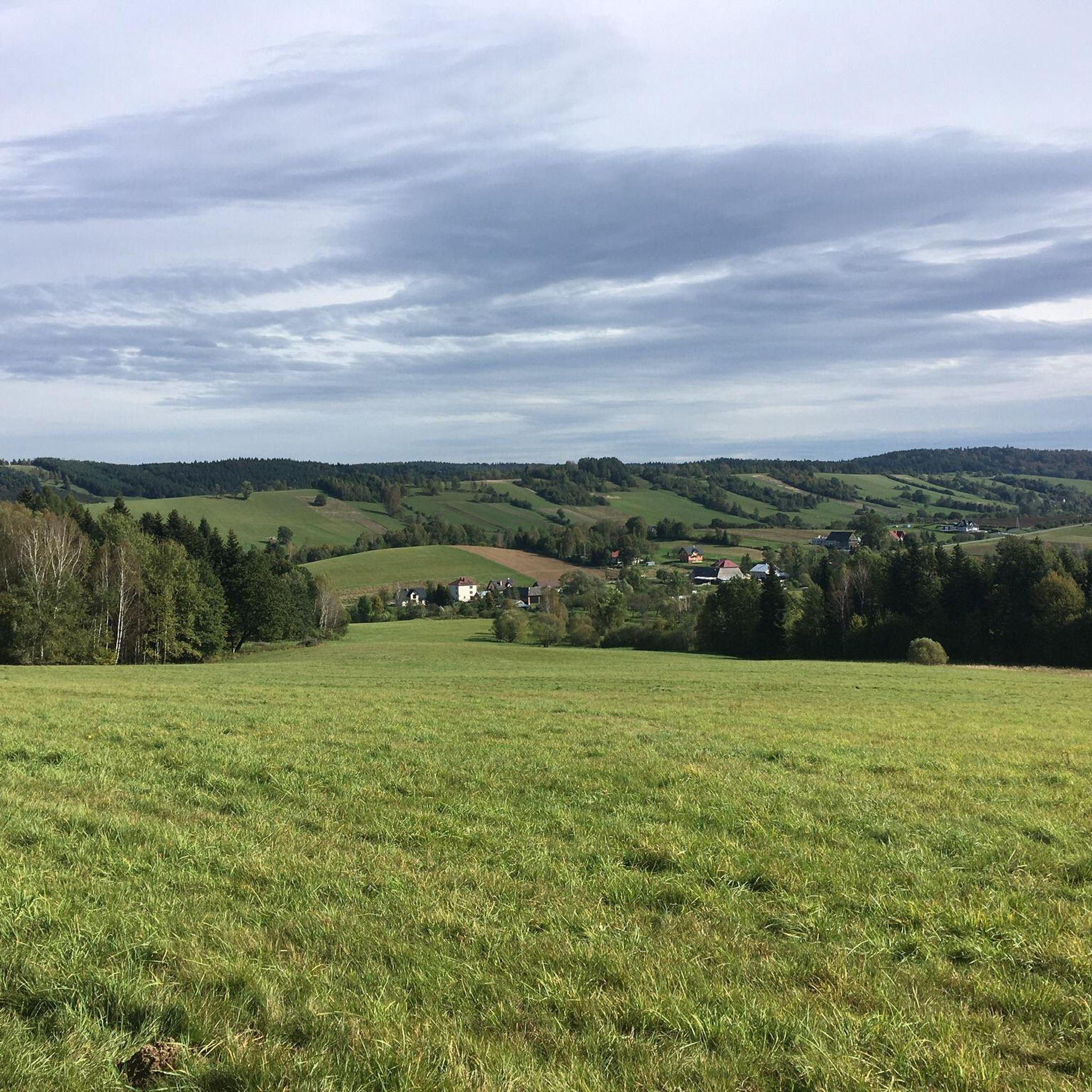
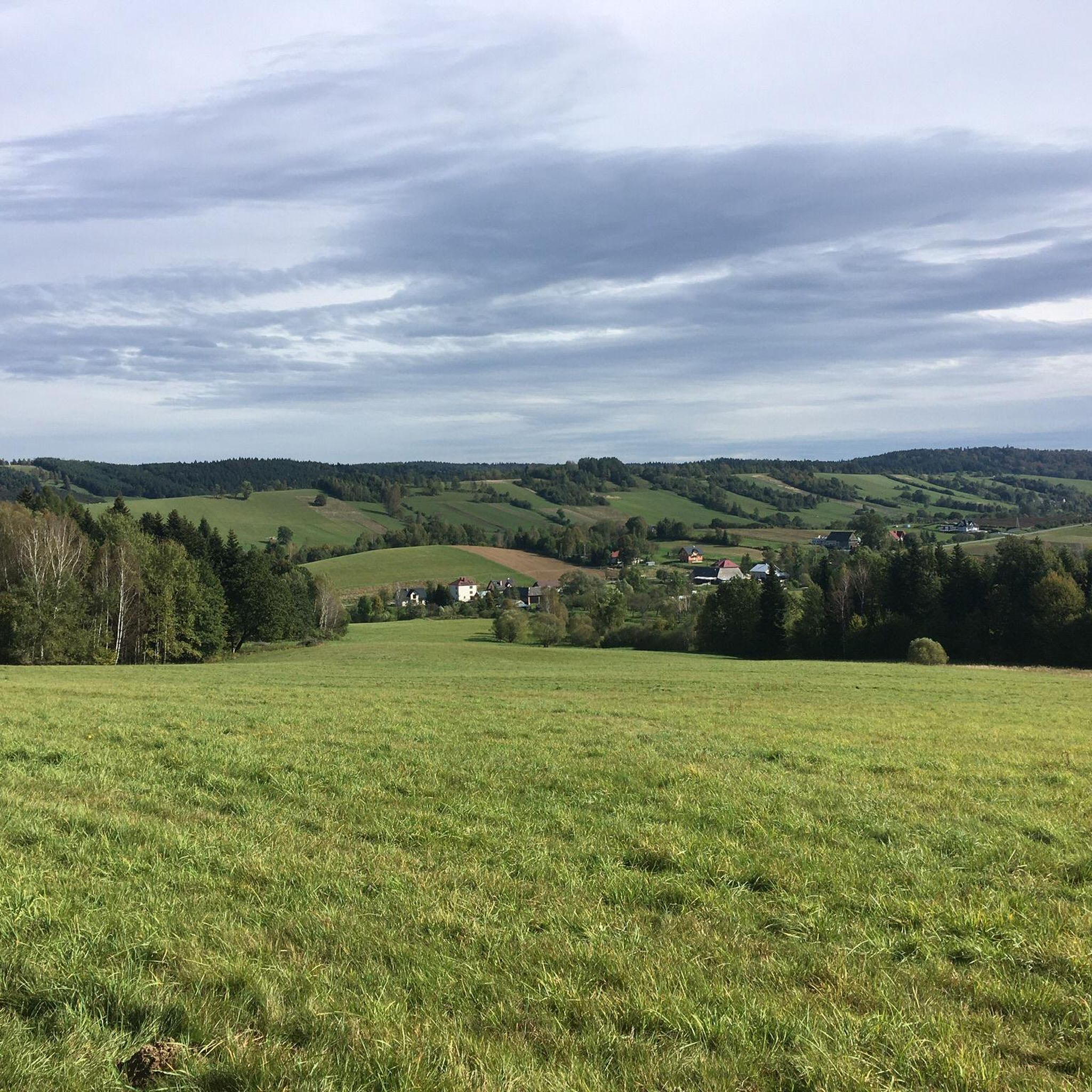
On the mountain slope above Lake Myczkowieckie in Solina, you can admire a huge heart made of bushes. The heart is a symbol of love between a Polish woman and an Indian who chose the Bieszczady Mountains as their place to live. However, the woman died, and her husband honored her memory and made a huge heart made of colorful bushes, visible from a distance. The location refers to the photo you took. The heart is on the other side of the lake. https://www.pap.pl/aktualnosci/bieszczady-ogromne-serce-nad-jeziorem-dla-zmarlej-zona-nasze-wideo
0
0

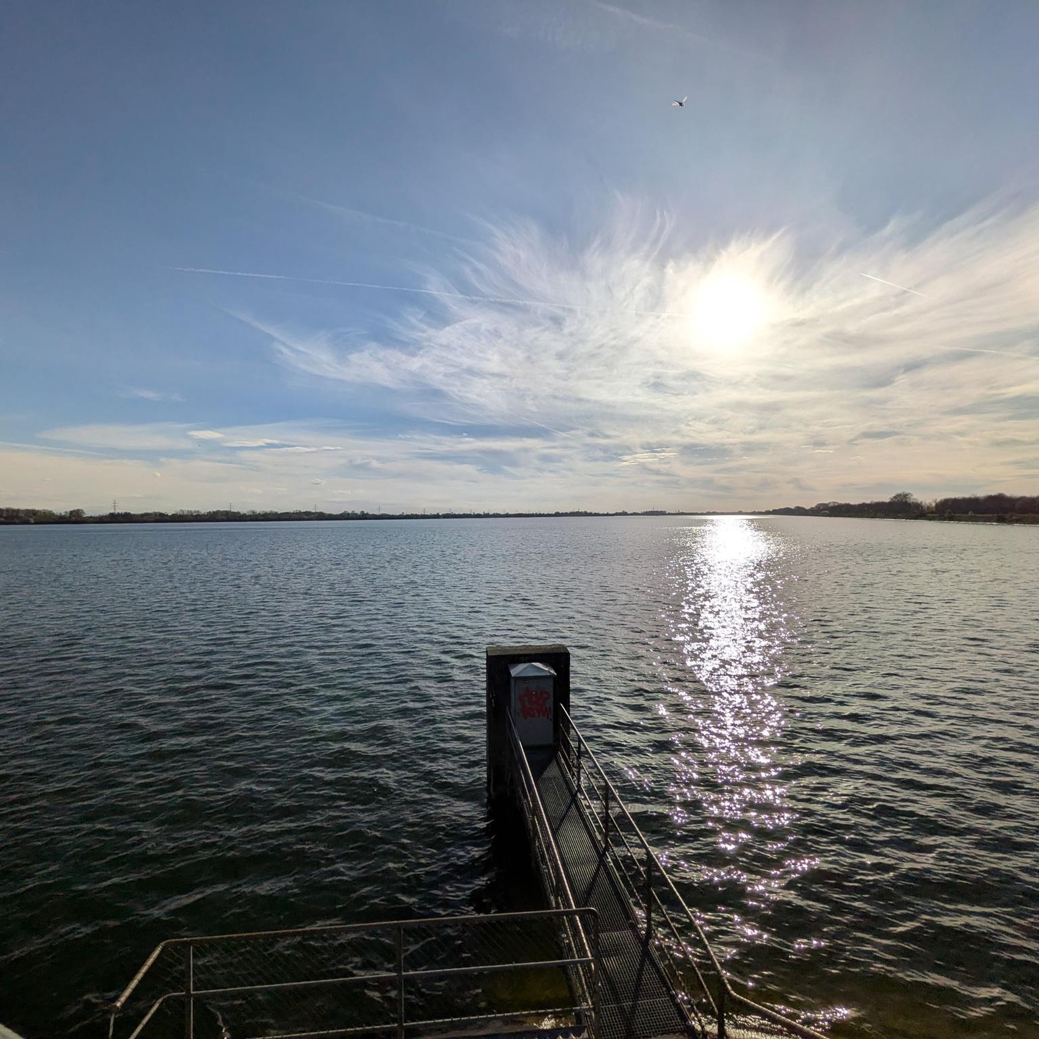
The hydroelectric dam in Myczkowce is one of two dams on the Bieszczady section of the San, which was built as part of the Solina-Myczkowce Hydroelectric Power Plant Complex. The dam creates Lake Myczkowskie.
1
0
A former Greek Catholic church built in 1910–1912. After World War II, a grain warehouse was established in the church. In 1957, the church was converted into a church.
1
0

It rises nearly 30 m above the so-called the dead bed of the San - i.e. the old bed of the San river, which flowed here before the dam in Myczkowce was built. This unique natural monument is located approximately 1,000 m below the dam creating the artificial Lake Myczkowieckie, near the Caritas center. It is a unique rock wall, approximately 600 m long and approximately 25-30 meters high at the highest point, covered with thermophilic rock vegetation that is rare in these parts. Numerous species of birds nest in rock crevices, build nests in this safe place and perform wonderful concerts almost all year round. They offer a wonderful panorama of Myczkowce (...) In the upper part of the Myczkowieckie Rocks there is an observation deck with a beautiful panorama of the area. The terrace is right next to the road and is visible from it. Next to it there is space for 3-4 cars. Source and more: https://www.twojebieszczady.net/warto/skalki_mycz.php
0
0

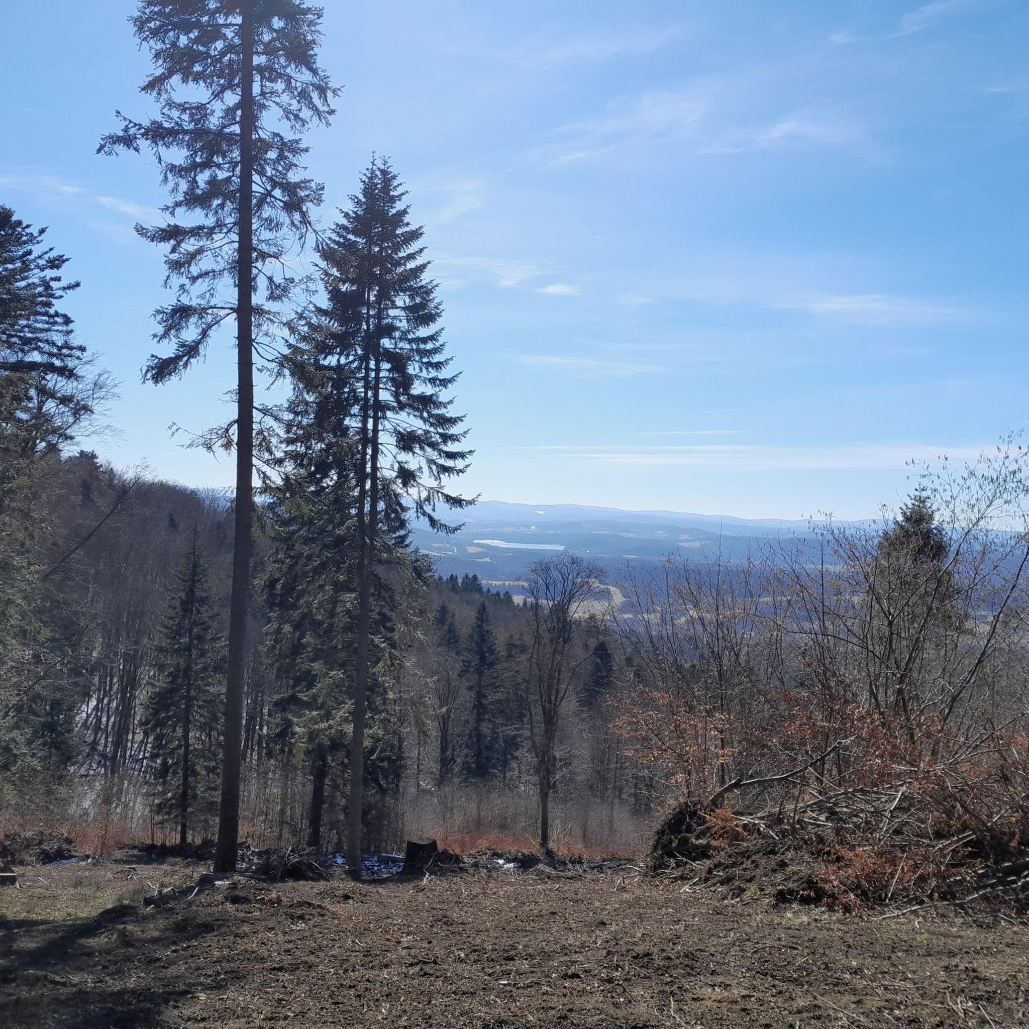
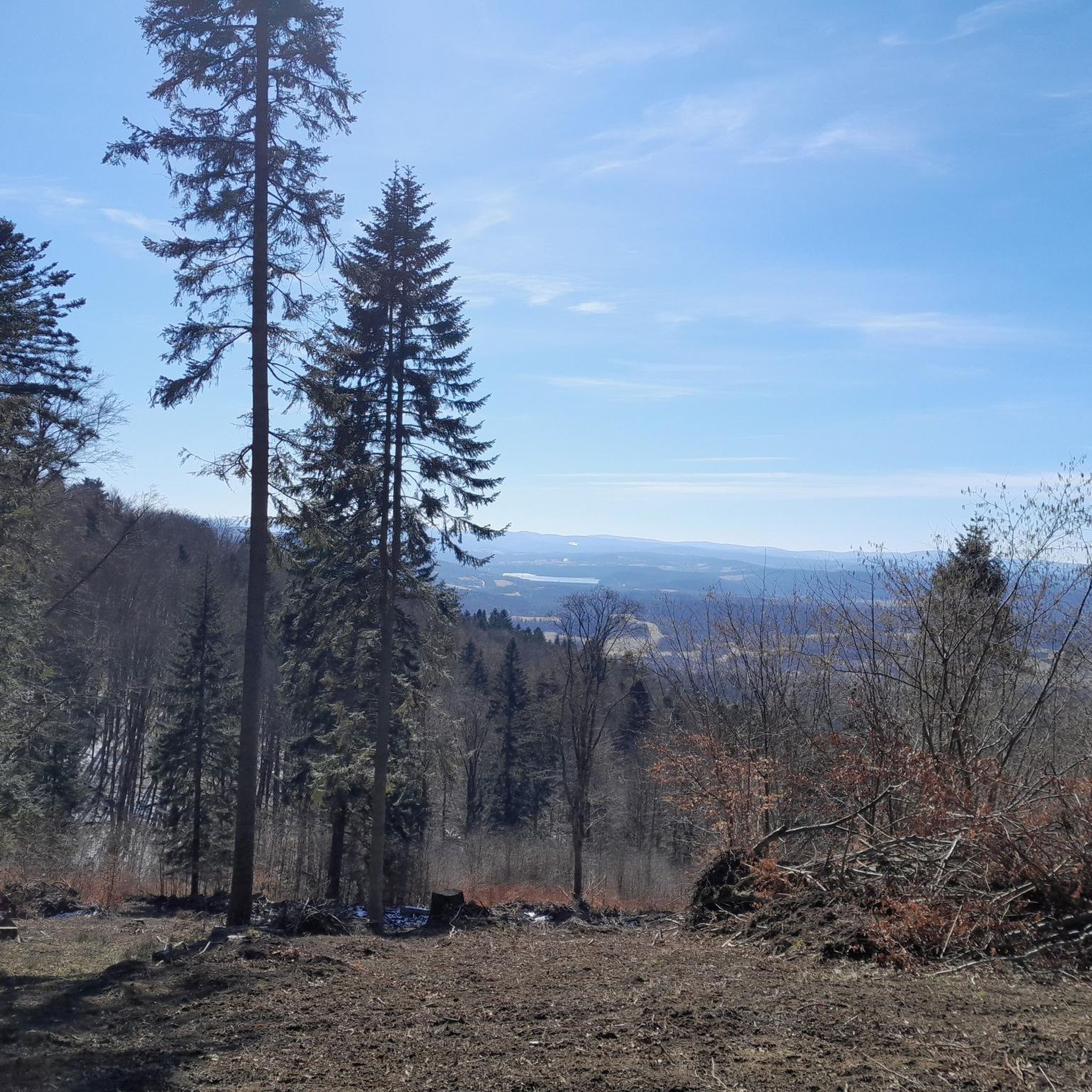
A wonderful view from the dam in Myczkowce on the San River, which creates the largest artificial water reservoir in Poland in terms of capacity: Lake Solińskie.
2
0
Viewpoint at the former Bóbrka quarry. At the top there is a shelter and a building with warning information (no railings). View of Lake Solina.
3
0
Watch the video: https://youtu.be/j_pRKEUh4XM?si=Rh2nT9w0ZtOGNjuu
0
0
The waterfall on Olszanka is considered the widest in the entire region. This natural water level is 38 meters long, measured along the rock outcrops, from one bank to the other. Its height is quite impressive considering the conditions of the Bieszczady Mountains, as measured from the water surface it is between 2.5-3 m. The so-called "erosion pot", i.e. the depth at the foot of the waterfall, is very interesting. It is about 2 meters high. Of course, these data are averages, because the size of the waterfall depends on the water level. Once much larger, it was partially destroyed during the - literally - gigantic flood in 1981. Then the small river Olszanica, also called Olszanka, suddenly flooded its entire valley. The current was so strong that it destroyed everything along its way. Source and more: https://www.twojebieszczady.net/warto/wod_olszanka.php
0
0
Frequently Asked Questions
How many hiking trails are available in gmina Olszanica?
Gmina Olszanica offers a wide selection of hiking routes, with over 140 trails documented on komoot. This includes a diverse range of options suitable for various fitness levels and preferences.
What kind of natural attractions can I expect to see while hiking in gmina Olszanica?
The region is rich in natural beauty, featuring naturalist forest parks with ancient oaks recognized as natural monuments. You can also find significant water features, including the Myczkowce Dam and the Solina Dam. The area is also in close proximity to the Słonne Mountains Landscape Park, offering broader natural landscapes to explore. Don't miss the Kamień Leski or the Miraculous Spring in Zwierzyń.
Are there easy hiking trails suitable for beginners or families?
Yes, gmina Olszanica has plenty of easy trails. There are 77 easy routes, many of which are perfect for beginners or families looking for a relaxed walk. An example is the Olszanka Waterfall (Uherce) loop from Uherce, which is an easy 4.4 km trail.
Are there any challenging hikes in gmina Olszanica for experienced hikers?
For those seeking a greater challenge, gmina Olszanica offers 9 difficult routes. These trails typically feature more significant elevation gains and longer distances, requiring good fitness and sure-footedness.
What do other hikers say about the trails in gmina Olszanica?
The hiking routes in gmina Olszanica are highly regarded by the komoot community, holding an average rating of 4.5 stars from over 300 reviews. Almost 4000 hikers have used komoot to explore the region's varied terrain, often praising its diverse landscapes and scenic views.
Are there any circular hiking routes in gmina Olszanica?
Many of the trails in gmina Olszanica are designed as circular routes, allowing you to start and end at the same point. Examples include the moderate Myczkowce Dam – Viewpoint loop from Rezerwat Koziniec or the scenic View of the Hill – Viewpoint loop from Rezerwat Przełom Sanu pod Grodziskiem.
Can I find trails with viewpoints in gmina Olszanica?
Absolutely. The region offers several trails that lead to stunning viewpoints. For instance, the Myczkowce Dam – Viewpoint loop from Rezerwat Koziniec provides excellent vistas of the dam and surrounding natural areas. You can also find highlights like the View of Lake Myczkowskie and the Heart on Suchy Berd Hill.
Are there any trails that feature waterfalls?
Yes, you can find trails that include waterfalls. The Olszanka Waterfall (Uherce) loop from Uherce is an easy route specifically designed to take you to the Olszanka Waterfall.
What is the terrain like on the hiking trails in gmina Olszanica?
The terrain in gmina Olszanica is quite varied, ranging from easily accessible paths through naturalist forest parks to more challenging routes with significant elevation changes. You'll encounter diverse landscapes, including areas with vast water features and river views, such as those found on the Myczkowce Dam – San River View loop from Rezerwat Bobry w Uhercach.
Are there any historical landmarks or cultural sites accessible via hiking trails?
While the focus is on natural beauty, the region's history is present. The historic palace in Olszanica, with its eclectic architecture and neo-Gothic motifs, is set within a magnificent garden featuring numerous tree specimens recognized as natural monuments. Although the palace itself is a training center, its grounds contribute to the area's allure for walks.
Is it possible to hike near the San River?
Yes, several trails offer views of or run alongside the San River. The San River View loop from Rezerwat Bobry w Uhercach is an easy route that provides scenic river views.
What is the best time of year to go hiking in gmina Olszanica?
Gmina Olszanica offers hiking opportunities throughout much of the year. Spring and autumn provide pleasant temperatures and vibrant scenery, while summer is ideal for longer days. Even in winter, some trails may be accessible, though conditions can vary and require appropriate gear.
Most popular routes around gmina Olszanica
Most popular attractions around gmina Olszanica

Get inspired with the komoot mobile app


Explore more
Browse the best Hikes in other regions.
