The best walks and hikes around gmina gmina Horyniec-Zdrój
4.7
(16)
133
hikers
29
hikes
Hiking trails around gmina gmina Horyniec-Zdrój are situated in the Southern Roztocze region, characterized by diverse landscapes. The area features abundant forests, primarily pine but also mixed woodlands with beech, oak, and birch trees. Hikers will find a terrain of wooded hills and valleys, alongside natural mineral water sources. This combination creates a varied environment for outdoor activities.
Best hiking trails around gmina gmina Horyniec-Zdrój
- The most popular hiking route is Nature and educational trail "Kobyle Jezioro" (loop from Złomów Ruskich): Południoworoztoczański Park Krajobrazowy, an easy 1.3 miles (2.1 km) trail that takes 33 minutes to complete. This route explores the natural features of the Południoworoztoczański Landscape Park.
- Another top favourite among local hikers is Nature trail "Horyniec - Nowiny Horynieckie": South Roztocze Landscape Park, a moderate 7.5 miles (12.1 km) path. This trail connects Horyniec-Zdrój with Nowiny Horynieckie, passing through varied landscapes.
- Local hikers also love the Trail of Petrified Trees Educational Path, a 2.8 miles (4.6 km) trail leading through an educational landscape, often completed in about 1 hour 11 minutes.
- Hiking around gmina gmina Horyniec-Zdrój is defined by abundant forests, picturesque hills, and the presence of mineral water sources. The network offers options for different ability levels, from easy educational paths to moderate trails.
- The routes in gmina gmina Horyniec-Zdrój are highly rated by the komoot community with an average score of 4.8 stars from more than 15 reviews. More than 100 hikers have used komoot to explore gmina gmina Horyniec-Zdrój's varied terrain.
Last updated: May 18, 2026
4.2
(5)
12
hikers
Easy hike. Great for any fitness level. Easily-accessible paths. Suitable for all skill levels.
3
hikers
Moderate hike. Good fitness required. Easily-accessible paths. Suitable for all skill levels.

Sign up for free
5.0
(5)
45
hikers
6.71km
01:52
130m
130m
Easy hike. Great for any fitness level. Easily-accessible paths. Suitable for all skill levels.
5.0
(1)
7
hikers
8.60km
02:19
110m
110m
Moderate hike. Good fitness required. Easily-accessible paths. Suitable for all skill levels.
9
hikers
5.72km
01:30
40m
40m
Easy hike. Great for any fitness level. Easily-accessible paths. Suitable for all skill levels.
Get access to more routes and recommendations from other explorers.
Sign up for free
Already have an account?
Our route recommendations are based on thousands of hikes, rides, and runs completed by other people on komoot.
Start today with a free account
Your next adventure awaits.
Login or Signup
Popular around gmina gmina Horyniec-Zdrój
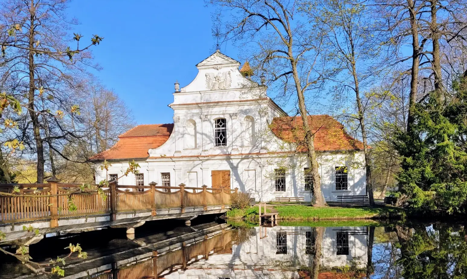
Central Roztocze Trail - beautiful forests and magnificent monuments
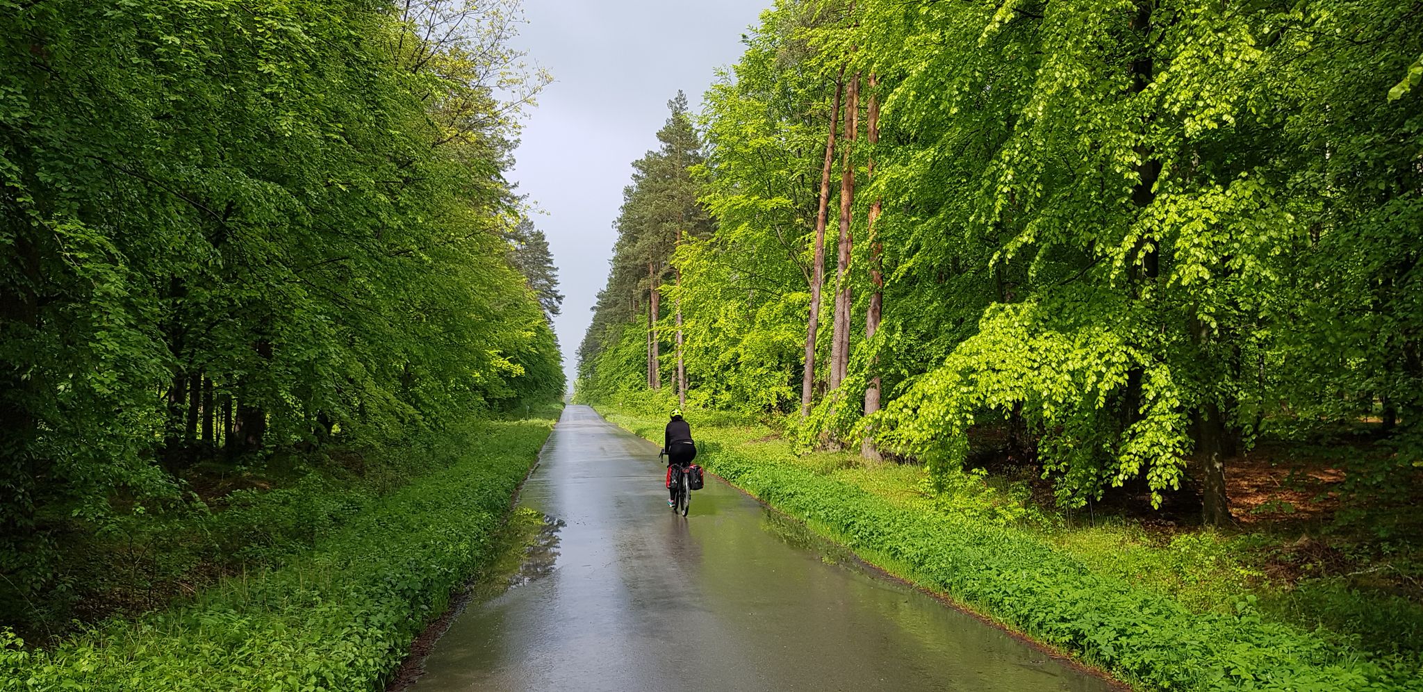
To the east, Eden – La Green Velo Szlak (part one)
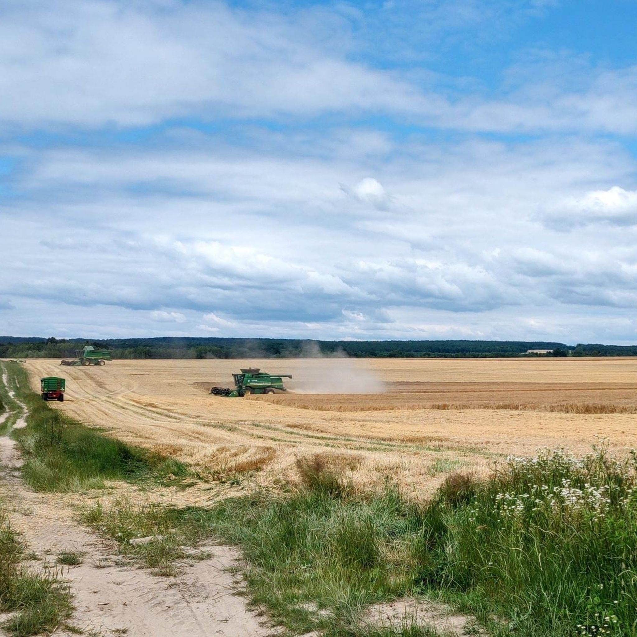
Cycling around gmina gmina Horyniec-Zdrój
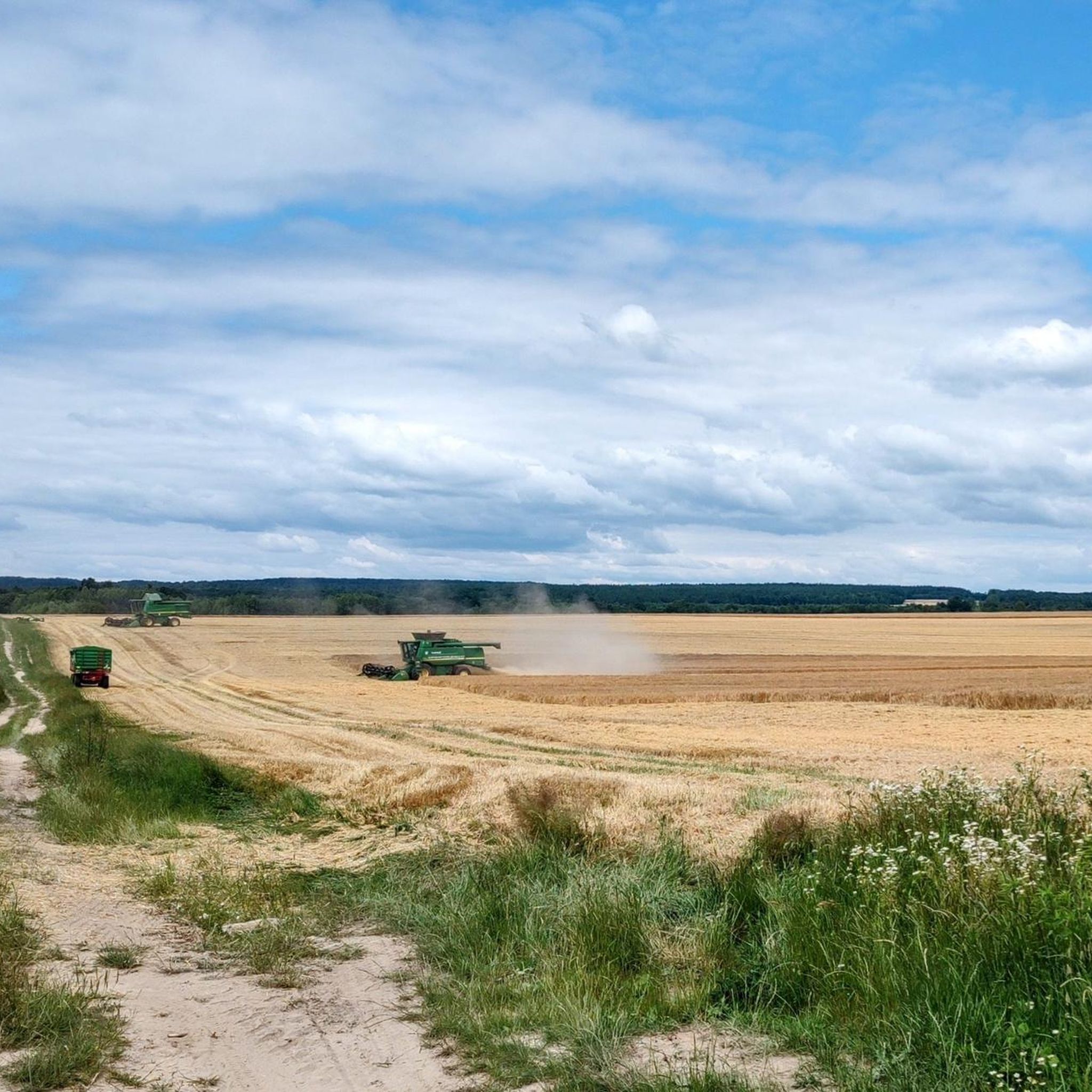
Road Cycling Routes around gmina gmina Horyniec-Zdrój
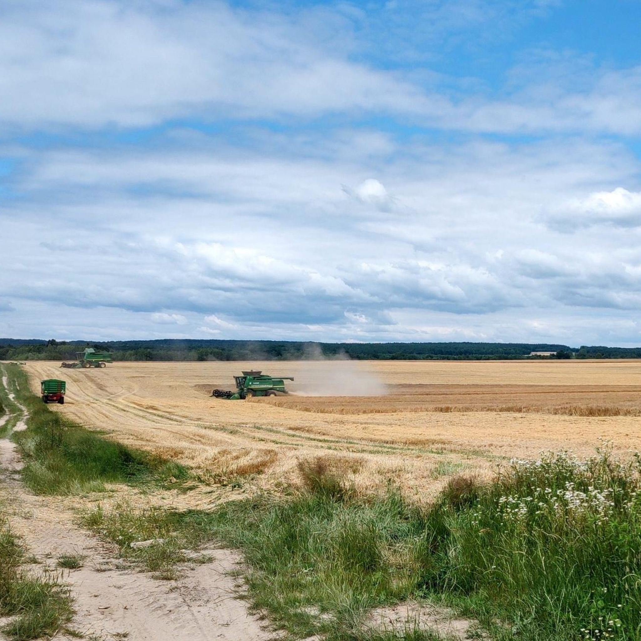
MTB Trails around gmina gmina Horyniec-Zdrój
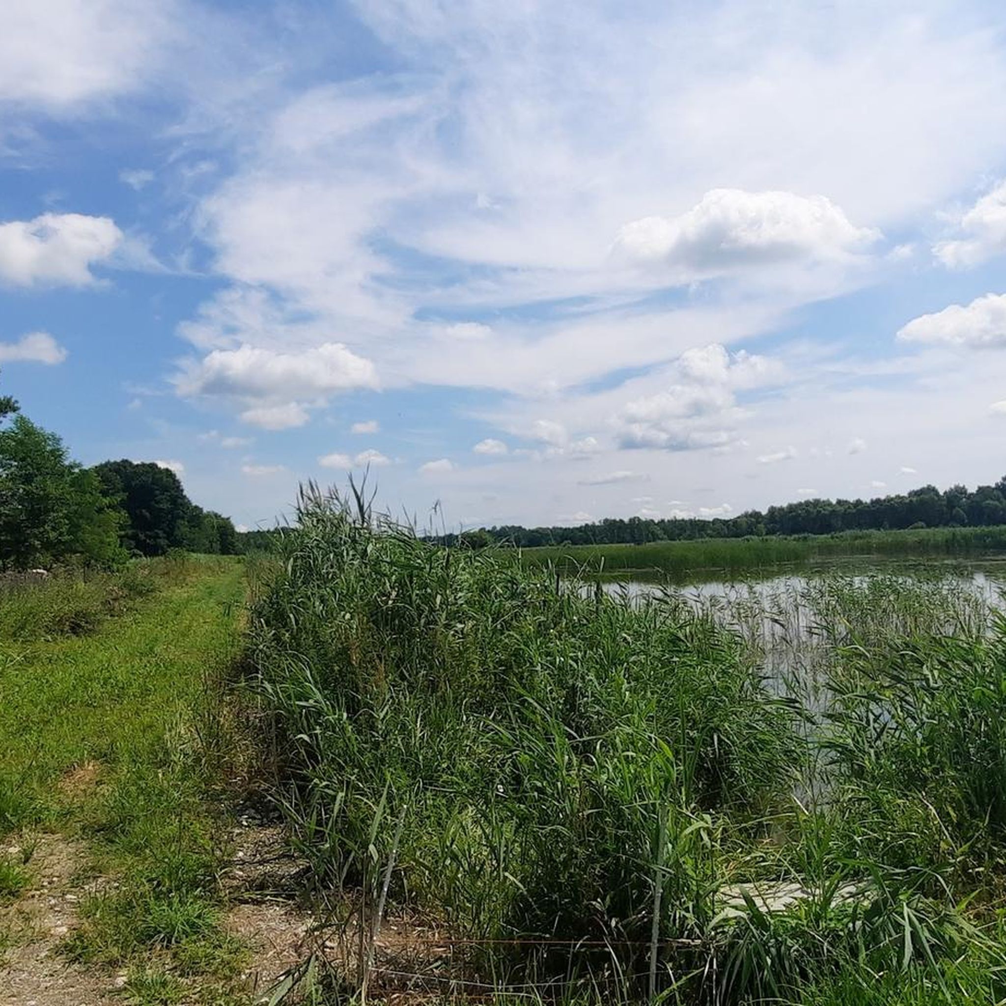
Running Trails around gmina gmina Horyniec-Zdrój
Other adventures around gmina gmina Horyniec-Zdrój


Tips from the Community

Two-story bunker for flank fire, no. 06-WD-08. Bunker damaged in fighting, but with the preserved Polish armored dome from 1936. The object is part of an unfinished system of Soviet fortifications from 1940-1941.
0
0

In 1939, there was a mill in Stare Brusno. The water probably cascaded here at first, and then formed a waterfall. An interesting, unusual place. If you're hiking nearby on the blue trail, it's worth detouring and taking a look.
0
0
First of all, Stare Brusno (the village) no longer exists. The population was evicted between 1944 and 1947. To this day, the remains of the former cemetery (many of Stare Brusno's residents were stonemasons) and the Orthodox church remain, overgrown with forest, giving them a uniquely historic and mystical character.
0
0

Two-level bunker, with a fragment of a cannon. Closed bunker, currently inhabited by bats ;). Access road sandy, watch out for roots and holes.
1
0

Beautiful view to the south, if you have binoculars you can also see the Bieszczady Mountains
0
0

Peace and quiet. It's worth taking a walk and relaxing👍👍👍
1
0

In the interwar years in the 20th century, the Spa Park in Horyniec-Zdrój was one of the most charming and experienced its period of greatest splendor. It could compete with similar European spa facilities.
3
0
Frequently Asked Questions
How many hiking trails are available in gmina Horyniec-Zdrój?
Gmina Horyniec-Zdrój offers a diverse network of over 20 hiking trails. These routes cater to various preferences, ranging from easy strolls through picturesque landscapes to more challenging paths across hills and valleys.
Are there easy or family-friendly hiking trails in gmina Horyniec-Zdrój?
Yes, the region is well-suited for families and beginners, with 11 easy trails available. A great option is the Nature and educational trail "Kobyle Jezioro", which is a short 1.3-mile loop exploring the Południoworoztoczański Landscape Park. Another very easy nature-cultural path is the 10-kilometer Dębisko-Kruszyna route, starting from the center of Horyniec-Zdrój, which allows visitors to see historic buildings and a fishing pond.
Can I find circular hiking routes in gmina Horyniec-Zdrój?
Yes, several trails offer circular options. For instance, the Nature and educational trail "Kobyle Jezioro" is a loop from Złomów Ruskich. Additionally, the Bruśno Roadside Stone Cross loop from Nowe Brusno provides an easy 4.2-mile circular hike through the area.
Are there hiking trails with historical significance in the gmina Horyniec-Zdrój area?
Absolutely. The region is rich in history. You can explore the Goraje loop from Rezerwat Źródła Tanwi, which offers a moderate 5.2-mile hike. For a deeper dive into history, the 50.5 km Blue Trail traverses the Molotov Line bunkers, offering a glimpse into World War II fortifications. The Green Trail of St. Brother Albert also passes by historical elements like the Monument of Freedom and the Poniński family mausoleum.
Are there any trails that lead to natural attractions like waterfalls or unique geological features?
Yes, gmina Horyniec-Zdrój boasts several natural highlights. You can visit the Waterfall on the Różaniec. Another unique geological feature is explored on the Trail of Petrified Trees Educational Path, a 2.8-mile route. The area is also known for its mineral water sources, including healing sulphide waters, which can be found along trails like the path to the forest chapel in Nowiny Horynieckie.
What are some good options for moderate or longer hikes in gmina Horyniec-Zdrój?
For those seeking moderate challenges, there are 10 such trails. A popular choice is the Nature trail "Horyniec - Nowiny Horynieckie", a 7.5-mile path connecting the spa park to a forest chapel, known for its healing water sources. This route offers varied landscapes and a chance to visit a monastery and historical cemetery.
What do other hikers enjoy the most about hiking in gmina Horyniec-Zdrój?
The area is highly rated by the komoot community, with an average score of 4.8 stars from more than 15 reviews. Reviewers often praise the abundant forests, picturesque hills, and the presence of natural mineral water sources, highlighting the varied terrain and well-marked paths suitable for different ability levels.
What kind of landscapes can I expect to see while hiking in gmina Horyniec-Zdrój?
Hikers in gmina Horyniec-Zdrój will experience the diverse landscapes of Southern Roztocze. The region is characterized by abundant forests, predominantly pine, but also mixed woodlands with beech, oak, and birch trees. You'll encounter wooded hills and valleys, and some trails offer splendid panoramic views of Eastern Roztocze.
Are there any religious or cultural sites accessible via hiking trails?
Yes, the region has several significant religious and cultural sites. The path from Horyniec-Zdrój to Nowiny Horynieckie leads to a forest chapel, a pilgrimage site with healing water sources, and passes a monastery of Franciscan fathers and an interesting cemetery. You can also find historical churches like the St. Paraskevi Orthodox Church in Radruż and the St. Paraskeva Orthodox Church in Nowe Brusno nearby.
Can I find trails that are suitable for Nordic walking?
The central Spa Park (Park Zdrojowy) in Horyniec-Zdrój is a pleasant area specifically mentioned as suitable for leisurely walks and Nordic walking. Many of the easier, flatter trails throughout the gmina would also be ideal for Nordic walking.
Are there any nature reserves or protected areas to explore?
Yes, the area includes the Południoworoztoczański Park Krajobrazowy (South Roztocze Landscape Park), which features prominently in several trails. You can also visit the Jedlinka Nature Reserve – Educational Area, which is a forest highlight, offering a chance to experience the region's natural beauty.
What kind of wildlife might I encounter on the trails?
The abundant forests of gmina Horyniec-Zdrój provide a habitat for various wildlife. While specific sightings depend on luck and time of day, the diverse woodlands of pine, beech, oak, and birch support a rich ecosystem. Keep an eye out for forest birds, small mammals, and other local fauna typical of the Southern Roztocze region.
Most popular routes around gmina gmina Horyniec-Zdrój
Most popular attractions around gmina gmina Horyniec-Zdrój

Get inspired with the komoot mobile app


Explore more
Browse the best Hikes in other regions.
