The best mountain hikes around gmina Wilkowice
4.7
(226)
1,280
hikers
13
hikes
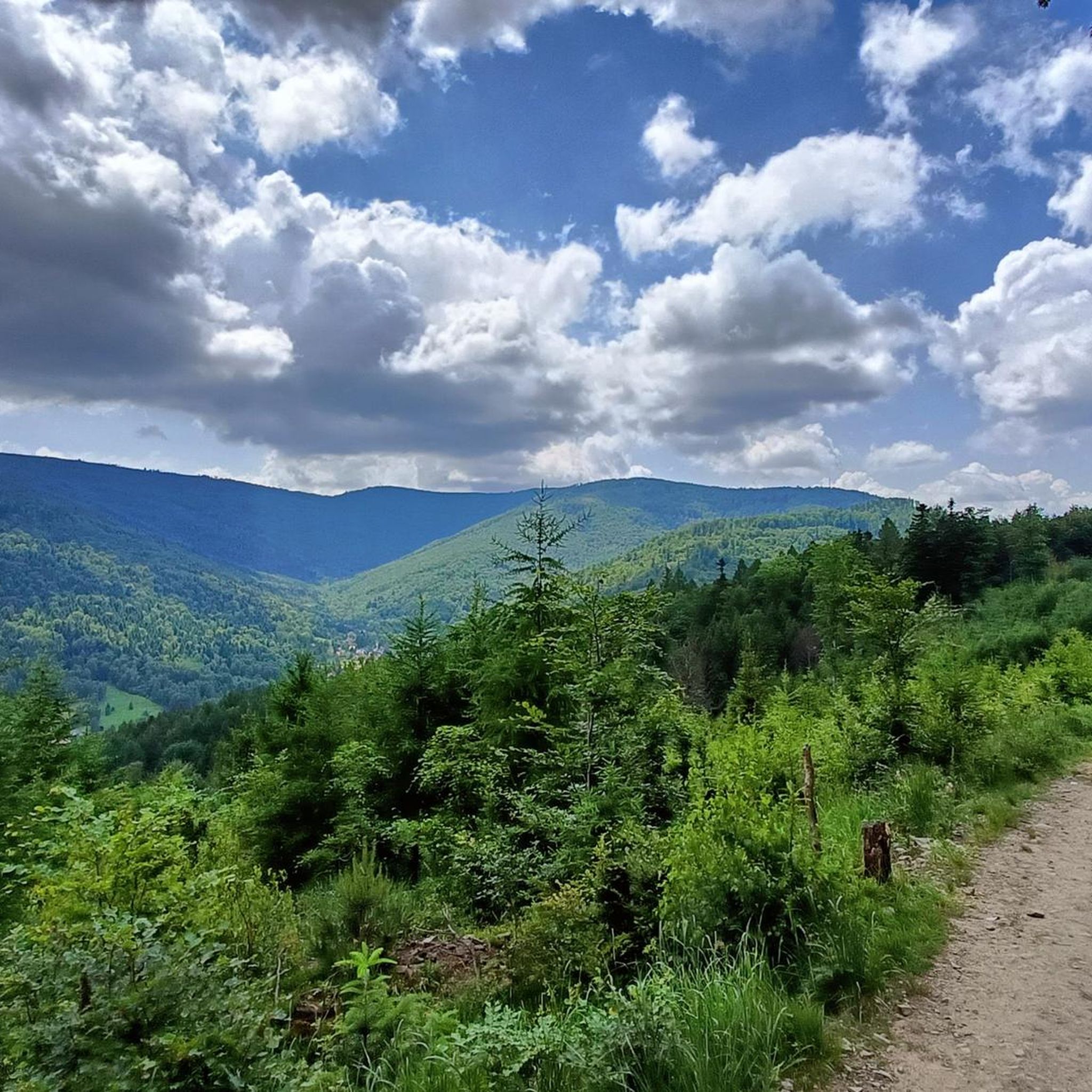
Mountaineering routes around gmina Wilkowice are situated at the convergence of the Beskid Mały and Beskid Śląski mountain ranges, offering varied terrain. The region features numerous peaks, including Czupel (930m), Magurka Wilkowicka (909m), Klimczok (1117m), and Skrzyczne (1257m), the highest peak of the Silesian Beskids. Over 50% of the gmina is covered by extensive forests, providing a rich natural environment for outdoor activities. This landscape includes diverse flora, streams forming cascades, and a network of marked trails.
Best mountaineering routes around gmina Wilkowice
- The most popular mountaineering route is View from Klimczok Peak – Szyndzielnia Summit (1,208 m) loop from Bystra, a 7.7 miles (12.4 km) trail that takes 4 hours 25 minutes to complete. This moderate route offers panoramic views from two prominent peaks.
- Another top favourite among local mountaineers is Czupel (933 m) – Czupel Peak (933 m) loop from Park Krajobrazowy Beskidu Małego, a difficult 10.5 miles (16.9 km) path. This route navigates challenging terrain around Czupel Peak, providing a demanding ascent.
- Local mountaineers also love the Klimczok Mountain Hut – Magura (1139 m) loop from Bystra, a 6.1 miles (9.8 km) trail leading through mountain landscapes, often completed in about 3 hours 35 minutes.
- Mountaineering around gmina Wilkowice is defined by the convergence of Beskid Mały and Beskid Śląski mountain ranges, extensive forests, and numerous peaks. The network offers options for different ability levels, from moderate ascents to more challenging mountain trails.
- The routes in gmina Wilkowice are highly rated by the komoot community with an average score of 4.7 stars from nearly 200 reviews. More than 1200 mountaineers have used komoot to explore gmina Wilkowice's varied terrain.
Last updated: August 24, 2026
4.9
(9)
43
hikers
12.3km
04:23
690m
690m
Moderate mountaineering route. Good fitness required. Easily-accessible paths. Suitable for all skill levels.
4.0
(4)
22
hikers
16.6km
05:35
790m
790m
Hard mountaineering route. Very good fitness required. Easily-accessible paths. Suitable for all skill levels.

Sign up for free
4.9
(7)
23
hikers
4.56km
01:34
250m
250m
Easy mountaineering route. Great for any fitness level. Easily-accessible paths. Suitable for all skill levels.
5.0
(1)
14
hikers
9.74km
03:35
630m
630m
Moderate mountaineering route. Good fitness required. Easily-accessible paths. Suitable for all skill levels.
5.0
(4)
9
hikers
Moderate mountaineering route. Good fitness required. Easily-accessible paths. Suitable for all skill levels.
Get access to more routes and recommendations from other explorers.
Sign up for free
Already have an account?
Our route recommendations are based on thousands of hikes, rides, and runs completed by other people on komoot.
Start today with a free account
Your next adventure awaits.
Login or Signup

Tips from the Community

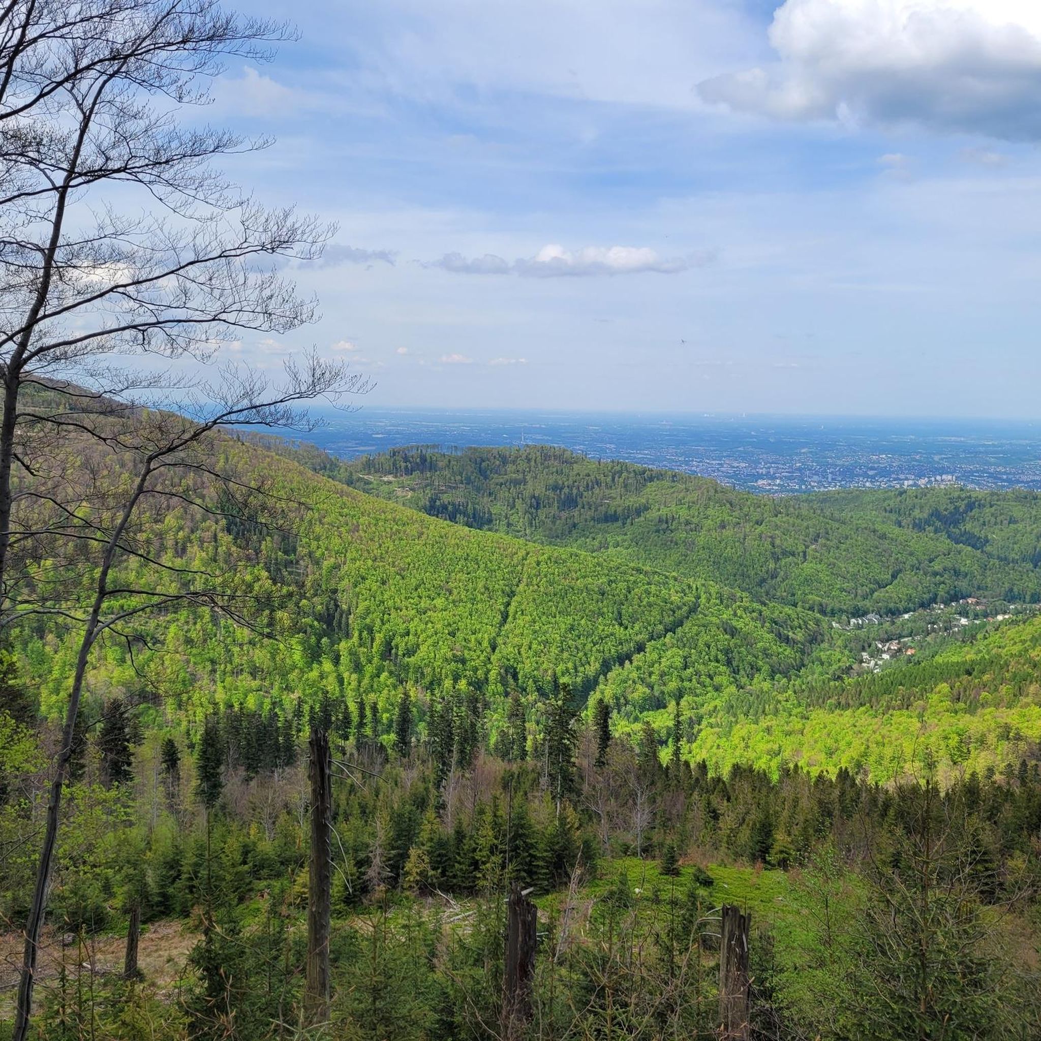
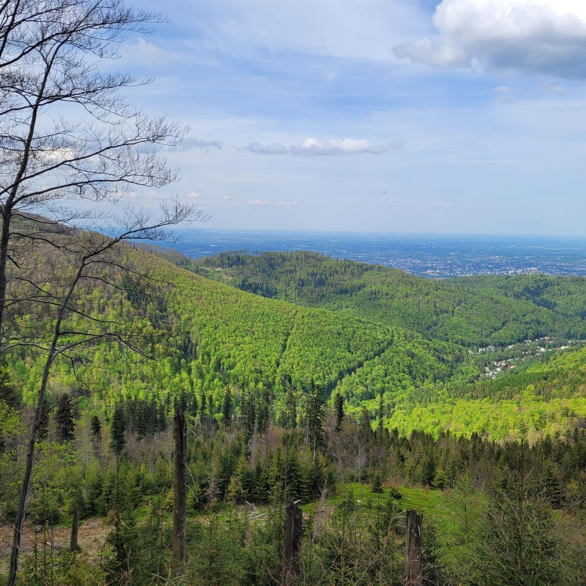
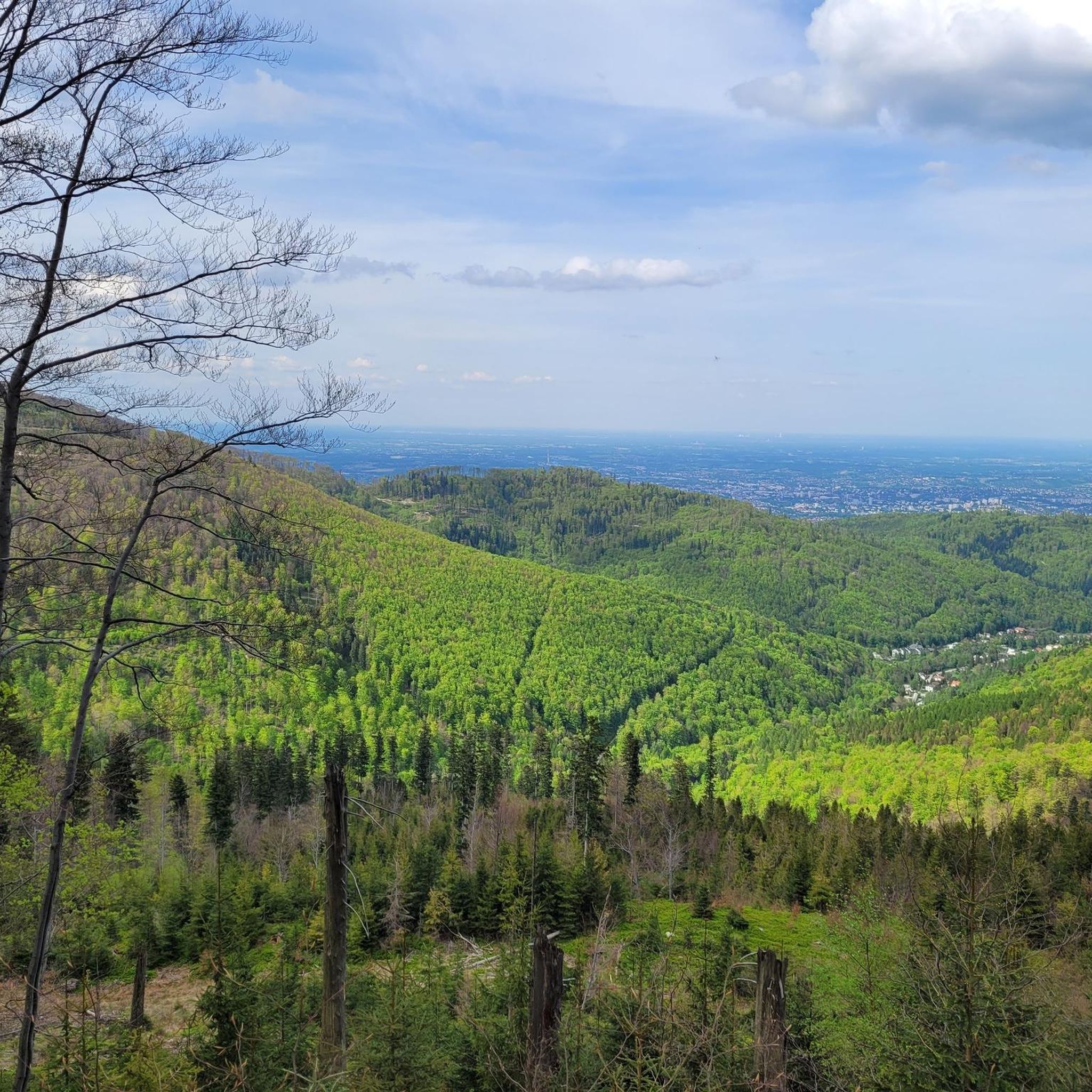
Beautiful view of the Żywiec Basin, and with good weather even of the Tatra Mountains.
0
0

Very nice when you've made it. However, you have to see which route you choose. Otherwise, it's almost impossible to manage with an MTB❗
0
0

Mandatory place to rest and replenish drinks. You can get hot meals and cold drinks.
0
0
The ascent through Szyndzielnia is pleasant, with a consistently moderate, not too steep gradient, except for a few steeper sections before the summit of Szyndzielnia. Only after the shelter do you need to push the bike for a short distance, then the route becomes pleasant and wide again towards Klimczok, where, near the summit, pushing the bike might be necessary depending on your strength. At the summit, there is a large meadow, and a little lower down, the shelter. In good weather, you can see the Tatry mountains from the summit.
0
0


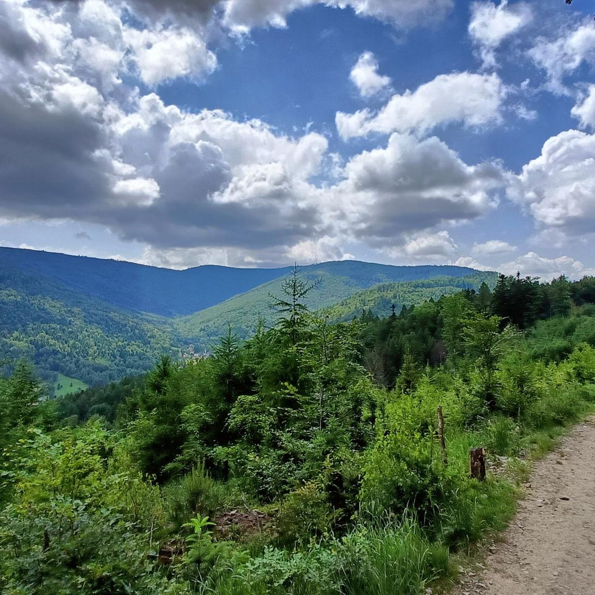
the views from Magurka are breathtaking
0
0
Magura is a mountain in the Klimczok and Szyndzielnia Range in the Silesian Beskids. It is located on the eastern side of the Klimczok Range. Its ridge forms the border between Szczyrk and Bystra in the Silesian Voivodeship, in Bielsk County.
1
1
Frequently Asked Questions
What kind of terrain can I expect on mountaineering routes in gmina Wilkowice?
Gmina Wilkowice offers a diverse range of terrain, situated at the convergence of the Beskid Mały and Beskid Śląski mountain ranges. You'll find everything from gentle slopes, particularly around Magurka Wilkowicka, to more challenging ascents and varied landscapes. Over 50% of the area is covered by extensive forests, providing a rich natural environment with diverse flora and picturesque streams.
Are there any easy mountaineering routes suitable for beginners or families?
Yes, there are routes suitable for various skill levels. While many routes involve significant elevation gain, some are considered moderate and can be a good starting point. For instance, the Mountaineering loop from gmina Wilkowice is a moderate 6.9 km route with a manageable elevation gain, offering a good introduction to the area's trails.
Which routes offer the best panoramic views in gmina Wilkowice?
For breathtaking panoramic views, consider routes that ascend to prominent peaks. Skrzyczne (1257m), the highest peak of the Silesian Beskids, is renowned for its extensive vistas that can stretch to the Beskid Żywiecki, Mała Fatra, and even the Tatras on clear days. The View from Klimczok Peak – Szyndzielnia Summit loop from Bystra also provides excellent panoramic views from two significant summits.
Are there any circular mountaineering routes available?
Yes, many of the mountaineering routes in gmina Wilkowice are designed as loops, allowing you to start and finish at the same point. Examples include the popular View from Klimczok Peak – Szyndzielnia Summit loop from Bystra and the more challenging Czupel (933 m) – Czupel Peak loop from Park Krajobrazowy Beskidu Małego.
What natural attractions or landmarks can I see along the trails?
The region is rich in natural beauty. You can encounter picturesque cascades formed by streams like the Białka, and explore extensive forests with diverse flora, including unique acidic beech forests. Notable natural monuments include the almost 60-meter-tall Douglas fir on Klimczok's eastern slope. Summits like Klimczok (1117 m) and Czupel Peak (933 m) are also significant landmarks.
Are there mountain huts along the routes for resting or overnight stays?
Yes, the presence of mountain huts significantly enhances the mountaineering experience in gmina Wilkowice. You'll find huts on Magurka Wilkowicka, Klimczok, and Szyndzielnia, offering convenient resting points and potential options for overnight stays during longer treks.
What is the best time of year for mountaineering in gmina Wilkowice?
The best time for mountaineering generally spans from spring through autumn, when the weather is milder and trails are clear. Autumn is particularly beautiful with the changing colors of the extensive forests. In winter, higher elevations, especially around Magurka Wilkowicka, transform into a destination for cross-country skiing, but winter mountaineering requires appropriate gear and experience due to snow and ice conditions.
Are there any challenging routes for experienced mountaineers?
Absolutely. For experienced mountaineers seeking a challenge, the region offers difficult routes with significant elevation gains. The Czupel (933 m) – Czupel Peak loop from Park Krajobrazowy Beskidu Małego is a difficult 16.9 km path that navigates challenging terrain around Czupel Peak, providing a demanding ascent.
What do other mountaineers say about the routes in gmina Wilkowice?
The mountaineering routes in gmina Wilkowice are highly regarded by the komoot community, holding an average score of 4.7 stars from nearly 200 reviews. Mountaineers often praise the varied terrain, the extensive forests, and the rewarding views from the peaks, highlighting the diverse options available for different ability levels.
Can I bring my dog on the mountaineering trails?
While specific regulations for dogs on every trail may vary, generally, dogs are welcome on many trails in the Beskid mountains, provided they are kept on a leash and owners adhere to responsible pet ownership practices, including cleaning up after them. It's always advisable to check local park rules if you plan to enter protected areas like the Silesian Beskids Landscape Park.
Are there any routes that pass by lakes or water bodies?
While the immediate mountaineering routes focus on peaks and forests, the broader gmina Wilkowice area is close to several significant water bodies. You can find highlights like Żywiec Lake and the Porąbka Dam nearby, which could be combined with a mountaineering trip for a more varied experience.
How many mountaineering routes are available in gmina Wilkowice?
There are over 10 mountaineering routes detailed in gmina Wilkowice, offering a wide range of options for exploration. These include a mix of easy, moderate, and difficult trails, ensuring there's something for every level of mountaineer.
Most popular routes around gmina Wilkowice
Most popular attractions around gmina Wilkowice

Get inspired with the komoot mobile app


