The best walks and hikes around gmina Wilkowice
4.8
(341)
6,793
hikers
62
hikes
Hiking around gmina Wilkowice offers diverse terrain at the convergence of the Beskid Mały and Beskid Śląski mountain ranges in Poland. The region is characterized by extensive forests covering over 50% of its area, providing varied natural environments. Hikers can explore numerous peaks, including Czupel (930m) and Magurka Wilkowicka (909m) in the Little Beskids, and Szyndzielnia (1031m) and Klimczok (1117m) in the Silesian Beskids. This geographical position provides a range of elevations and scenic views for outdoor activities.
Best hiking…
Last updated: May 10, 2026
4.7
(74)
1,644
hikers
9.60km
02:59
350m
350m
Moderate hike. Good fitness required. Easily-accessible paths. Suitable for all skill levels.
4.8
(44)
343
hikers
13.1km
04:32
720m
720m
Moderate hike. Good fitness required. Easily-accessible paths. Suitable for all skill levels.

Sign up for free
4.9
(46)
917
hikers
Hard hike. Very good fitness required. Easily-accessible paths. Suitable for all skill levels.
4.9
(29)
503
hikers
4.70km
01:36
250m
250m
Easy hike. Great for any fitness level. Easily-accessible paths. Suitable for all skill levels.
4.9
(12)
230
hikers
Easy hike. Great for any fitness level. Easily-accessible paths. Suitable for all skill levels.
Get access to more routes and recommendations from other explorers.
Sign up for free
Already have an account?
Our route recommendations are based on thousands of hikes, rides, and runs completed by other people on komoot.
Start today with a free account
Your next adventure awaits.
Login or Signup
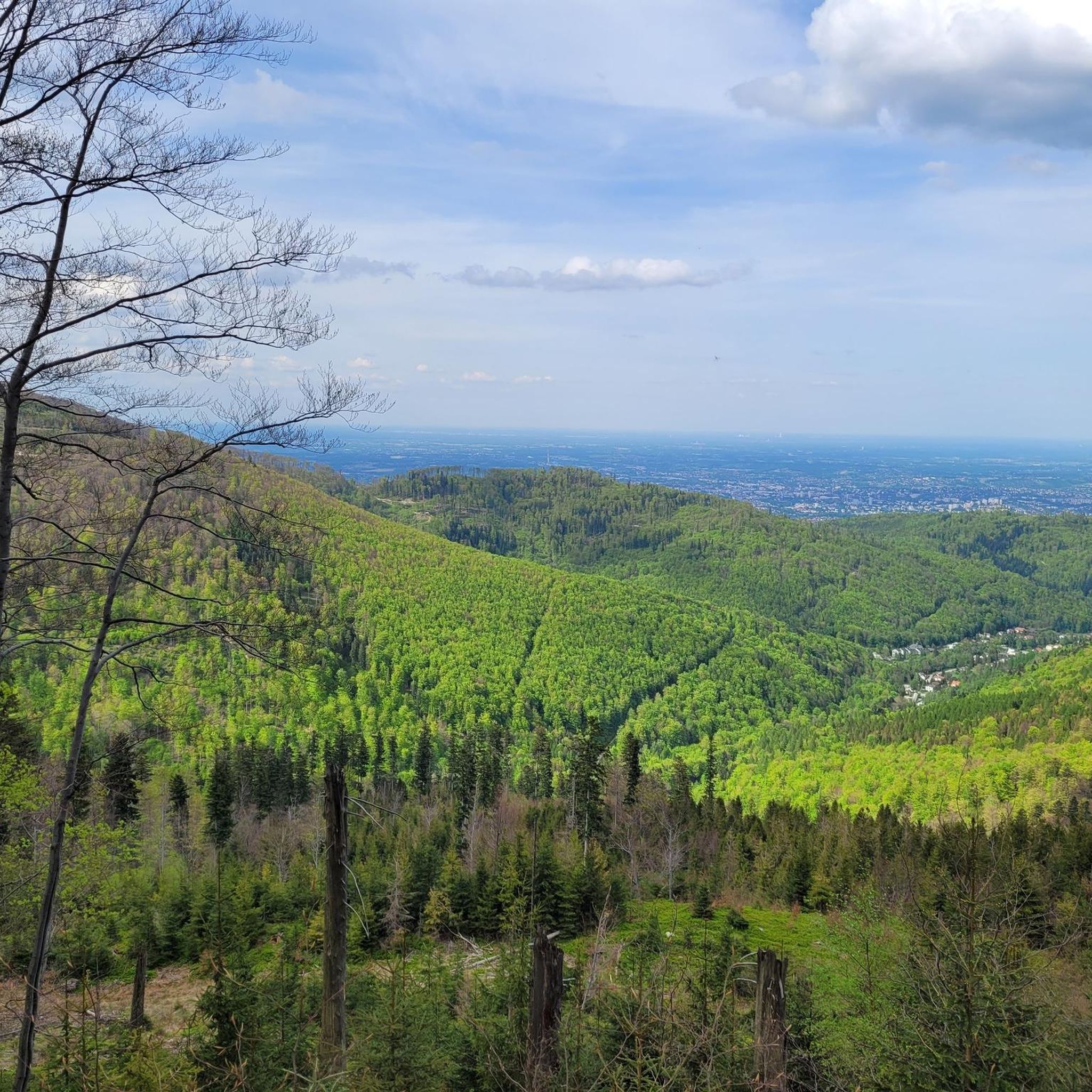
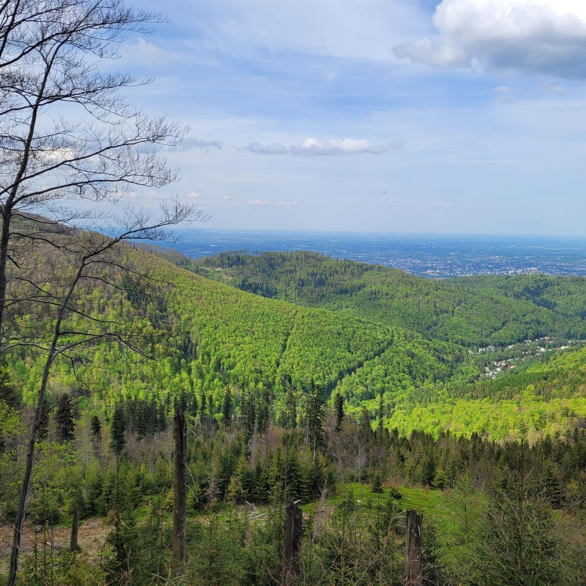
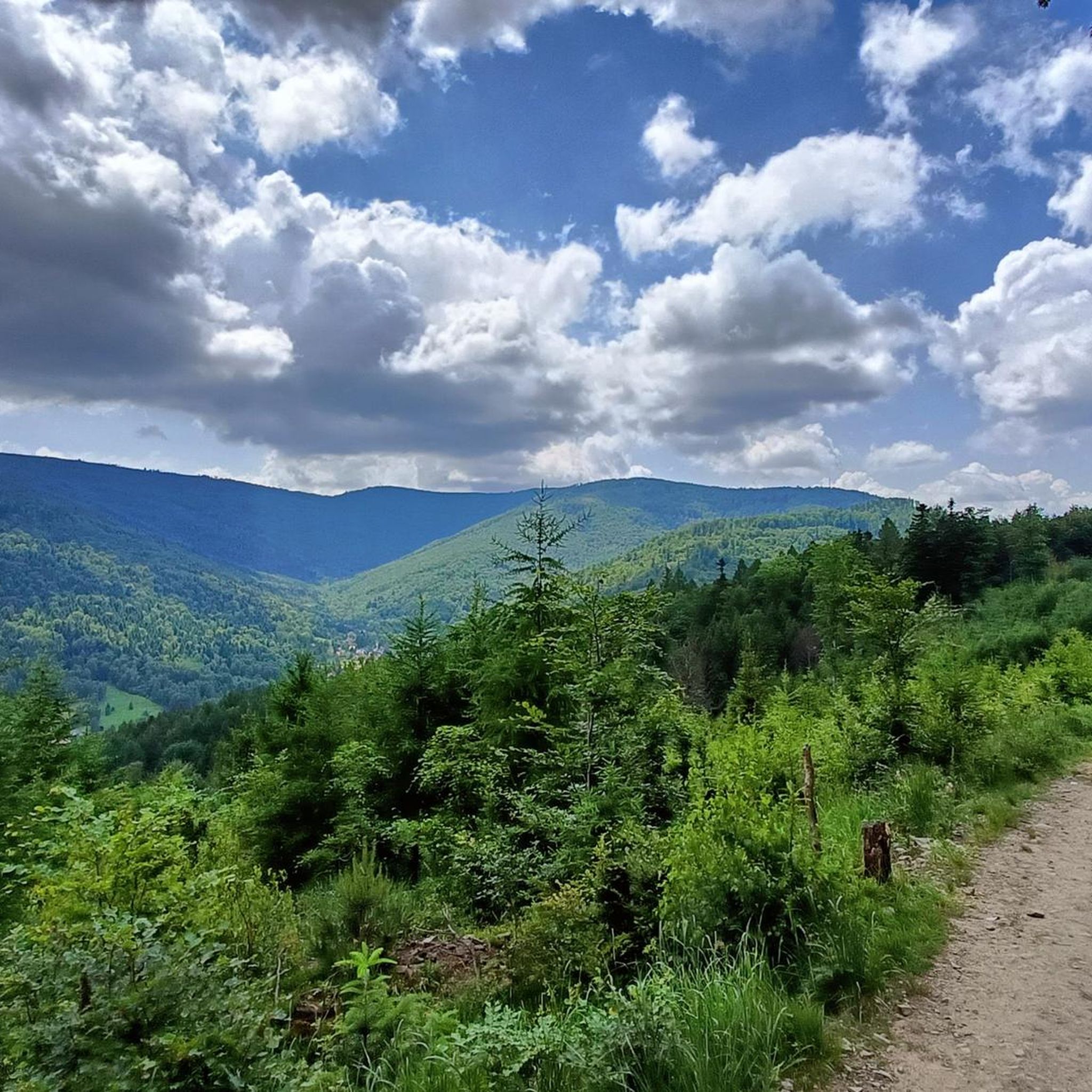
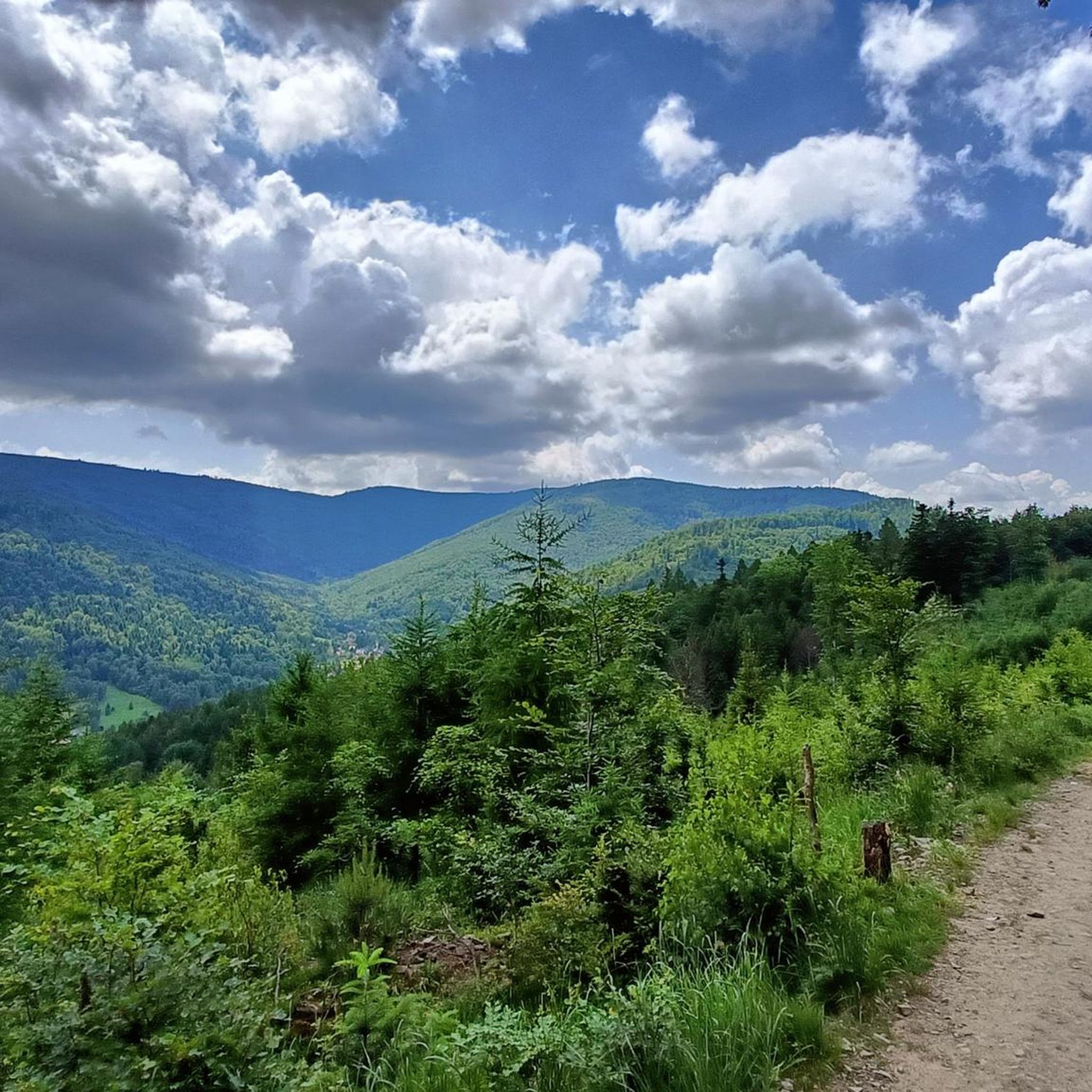


Tips from the Community

Mandatory place to rest and replenish drinks. You can get hot meals and cold drinks.
0
0

It's a pleasant ride up through Szyndzielnia, with a consistent, moderate incline and a few steeper sections before the Szyndzielnia summit. Only behind the refuge do you have to push the bike for a short distance, then it's back to a pleasant and wide trail towards Klimczok, where pushing the bike may be necessary near the summit depending on your strength. At the very top is a large meadow, and a refuge a little lower down. In good weather, you can see the Tatras from the summit.
0
0


The "Klimczok" mountain shelter is located at an altitude of 1,034 meters above sea level. A wooden shelter called "Klementynówka" was built in 1872. In 1914, after numerous renovations, the shelter was opened to tourists. The shelter hosts "White" and "Green" schools and summer camps, which are often highlighted by the shelter's outdoor swimming pool and 7-meter-high climbing wall.
1
0

I highly recommend it
0
0
Everything is fine, I recommend it
0
0

There is cake 🍰
0
0

It is the highest peak of the Beskid Mały, at 931m. Although the entire Czupel ridge is covered with forest, there will be views, especially of Góra Żar, with the power plant building at the top, but not from the very top, only a few dozen meters from it.
0
0
Frequently Asked Questions
How many hiking trails are available in gmina Wilkowice?
Gmina Wilkowice offers a comprehensive network of over 60 hiking routes. These trails cater to various skill levels, with 18 easy routes, 37 moderate options, and 7 challenging trails for experienced hikers.
What do other hikers enjoy most about hiking in gmina Wilkowice?
The hiking trails in gmina Wilkowice are highly rated by the komoot community, boasting an average score of 4.8 stars from over 300 reviews. Hikers frequently praise the diverse terrain, the extensive forests, and the scenic views offered by the Beskid Mały and Beskid Śląski mountain ranges.
Are there any easy, family-friendly hikes in gmina Wilkowice?
Yes, gmina Wilkowice has several easy trails suitable for families. A popular choice is the Agroturystyka Gebalówka – Przegibek Pass loop from Park Krajobrazowy Beskidu Małego, which is 4.8 km (3.0 miles) long and takes about 1 hour 38 minutes through gentle forest landscapes. Another easy option is the Szyndzielnia PTTK Mountain Hut – Klimczok (1117 m) loop from Schronisko PTTK Szyndzielnia, a 6.5 km (4.0 miles) path leading to a scenic mountain hut.
Are there any challenging routes for experienced hikers?
For those seeking a more demanding experience, gmina Wilkowice offers several challenging trails. One such route is the Mount Błatnia – Szyndzielnia PTTK Mountain Hut loop from Diecezja bielsko-żywiecka. This 17.0 km (10.6 miles) trail features significant elevation gain through mountain forests and typically takes around 5 hours 36 minutes to complete.
What kind of natural features or landmarks can I expect to see while hiking?
Gmina Wilkowice is rich in natural beauty, situated between the Beskid Mały and Beskid Śląski mountain ranges. You'll encounter extensive forests, numerous peaks like Czupel (930m), Magurka Wilkowicka (909m), Szyndzielnia (1031m), and Klimczok (1117m), offering panoramic views. The region also features several mountain huts that serve as resting points.
Are there any circular hiking routes in the area?
Yes, many trails in gmina Wilkowice are designed as loops. For example, the popular Agroturystyka Gebalówka – Przegibek Pass loop and the Szyndzielnia PTTK Mountain Hut – Klimczok loop are both circular, allowing you to start and end at the same point without retracing your steps.
What are the options for parking and public transport to access hiking trails?
Designated starting points for trails often provide parking and public transport access. These include Wilkowice Centrum, Wilkowice Górne, Bystra - Pod Źródłem, and the vicinity of the Immaculate Heart of Mary Church in Meszna. These locations serve as convenient hubs for beginning your hike.
Are there any mountain huts or cafes along the trails for refreshments?
Yes, gmina Wilkowice is well-equipped with mountain huts that offer refreshments and resting points. Notable huts include those on Magurka Wilkowicka, Klimczok, and Szyndzielnia. These provide convenient stops during longer hikes.
What is the best time of year to go hiking in gmina Wilkowice?
The region is suitable for hiking throughout much of the year. Spring and autumn offer pleasant temperatures and vibrant scenery. Even in winter, Magurka Wilkowicka provides opportunities for cross-country skiing, suggesting that some trails may be accessible for winter hiking, though conditions can vary.
Are there any nearby attractions or points of interest to visit besides hiking?
Beyond hiking, the area around gmina Wilkowice offers several attractions. You can explore historical sites like Łodygowice Palace or Sulkowski Castle. For nature lovers, there are beautiful lakes such as Żywiec Lake and Wilczy Staw in Kozy, as well as impressive dams like Porąbka Dam.
Can I find long-distance hiking options that pass through gmina Wilkowice?
Yes, gmina Wilkowice serves as a key point for longer treks. A multi-stage trek through the Little Beskids, for instance, starts from Kozy and passes through peaks like Hrobacza Łąka and Przegibek saddle, eventually reaching Magurka Wilkowicka, offering an extended hiking experience.
Most popular routes around gmina Wilkowice
Most popular attractions around gmina Wilkowice

Get inspired with the komoot mobile app


