The best MTB trails around Gelterfingen
4.4
(1002)
5,976
riders
307
rides
Mountain bike trails around Gelterfingen traverse a varied landscape characterized by forested areas, the Gürbetal valley floor, and surrounding hills. The region, situated on the south-west slope of the Belpberg mountain, offers diverse terrain for mountain biking. Approximately 24% of the area is forested, providing shaded trails and natural beauty. The topography includes both valley paths and climbs on the surrounding hills, creating a range of experiences for riders.
Best mountain bike trails around Gelterfingen
- The most popular mountain bike…
Last updated: May 16, 2026
3.5
(2)
19
riders
34.5km
02:54
700m
700m
Moderate mountain bike ride. Good fitness required. Advanced riding skills necessary.
4.7
(6)
19
riders
34.8km
02:32
450m
450m
Moderate mountain bike ride. Good fitness required. Suitable for all skill levels.

Sign up for free
11
riders
40.3km
03:12
720m
720m
Moderate mountain bike ride. Good fitness required. Advanced riding skills necessary.
4.3
(3)
11
riders
35.9km
02:20
290m
290m
Moderate mountain bike ride. Good fitness required. Suitable for all skill levels.
4.8
(4)
6
riders
47.5km
03:11
410m
410m
Moderate mountain bike ride. Good fitness required. Suitable for all skill levels.
Get access to more routes and recommendations from other explorers.
Sign up for free
Already have an account?
Our route recommendations are based on thousands of hikes, rides, and runs completed by other people on komoot.
Start today with a free account
Your next adventure awaits.
Login or Signup
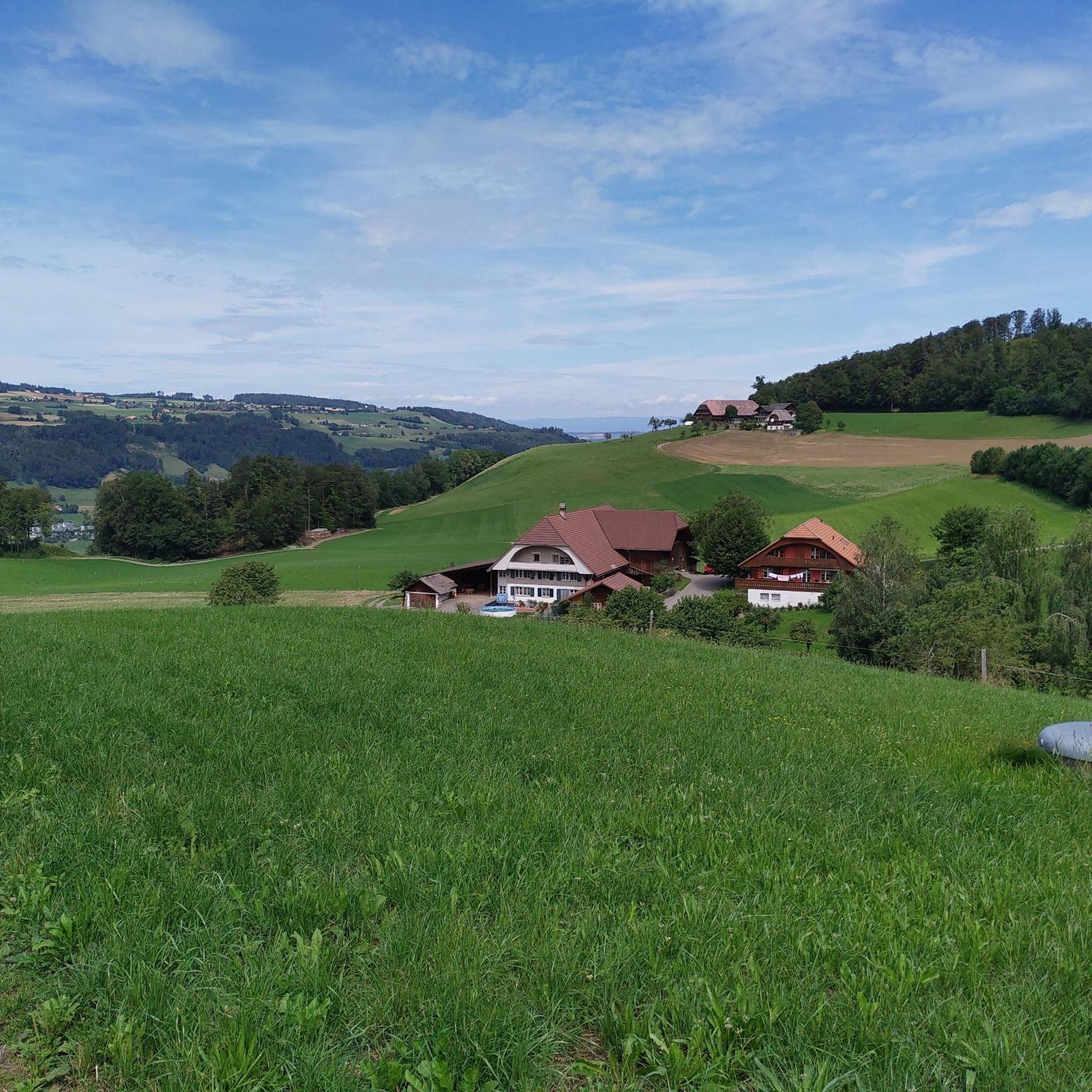
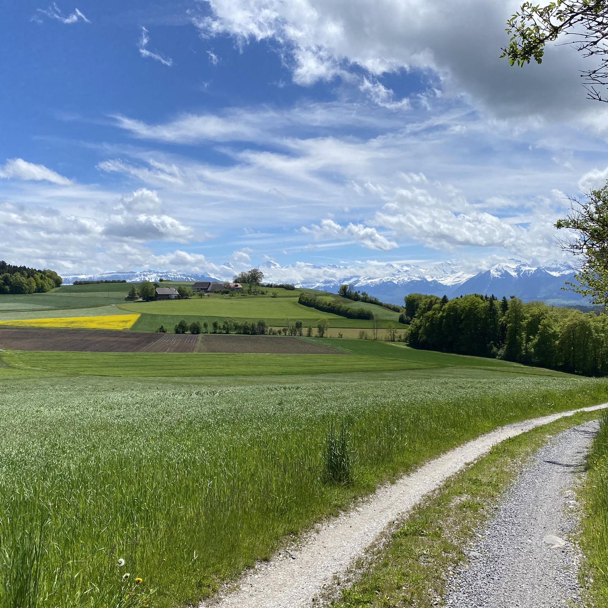
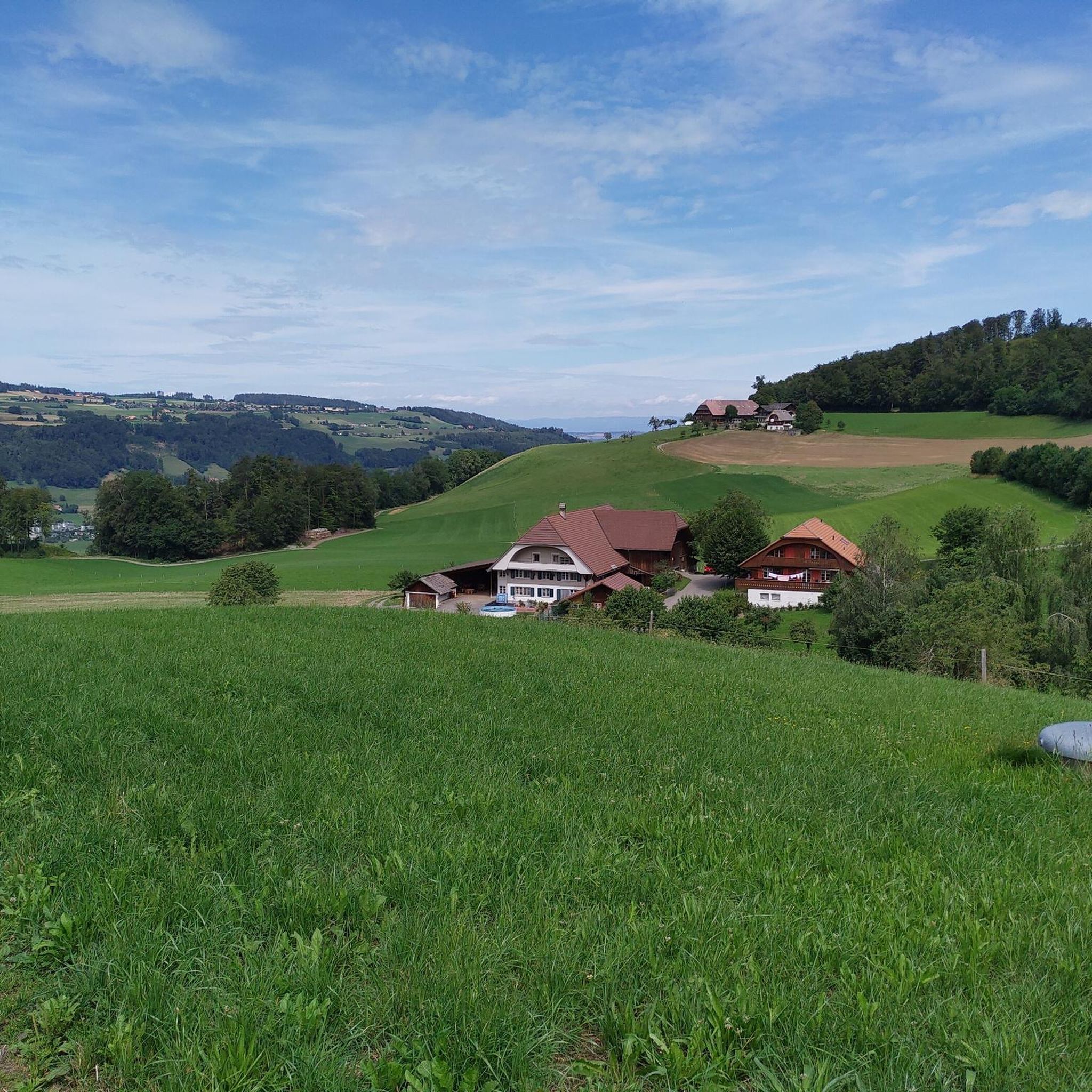


Tips from the Community

As you drive along the gravel roads, impressive views of the mighty Bernese Alps repeatedly open up. If the route continues straight, you can linger on the mountain peaks for a while, as there's no traffic.
0
0

Last steep climb and then the panorama and the restaurant awaits
0
0

As far as I know, this climb is closed due to unsafe slope conditions.
0
0

With benches, a view and a fire pit.
0
0
Good entry to the Gurnigel Pass.
0
0

Beautiful view of Lake Gerzensee.
0
0

View of the Alps and foothills as well as a wonderful sunset.
0
0
Swimming in the lake is reserved for the local population
0
0
Frequently Asked Questions
How many mountain bike trails are available in Gelterfingen?
Gelterfingen offers a wide selection of mountain bike trails, with over 300 routes available. This includes 49 easy, 226 moderate, and 36 difficult trails, catering to various skill levels.
What kind of terrain can I expect on mountain bike trails in Gelterfingen?
The terrain in Gelterfingen is diverse, characterized by forested areas, the Gürbetal valley floor, and surrounding hills. You'll find a mix of valley paths and climbs on the south-west slope of the Belpberg mountain, offering varied experiences from shaded trails to open landscapes.
Are there mountain bike trails suitable for beginners in Gelterfingen?
Yes, Gelterfingen has 49 easy mountain bike trails, perfect for beginners or those looking for a more relaxed ride. These routes typically feature less challenging ascents and descents, allowing riders to enjoy the scenery at a comfortable pace.
Can I find challenging mountain bike trails for advanced riders in Gelterfingen?
Absolutely. For experienced mountain bikers seeking a challenge, Gelterfingen offers 36 difficult trails. These routes often include significant elevation changes and more technical sections, providing an engaging ride for advanced riders.
What do other mountain bikers enjoy most about Gelterfingen?
The mountain bike trails in Gelterfingen are highly rated by the komoot community, with an average score of 4.4 stars from over 900 reviews. Riders often praise the varied terrain, the beautiful views of the Bernese Alps, and the well-maintained paths that traverse forests, valleys, and hills.
Are there circular mountain bike routes in Gelterfingen?
Many of the mountain bike routes in Gelterfingen are designed as loops, allowing you to start and finish at the same point. For example, the Gürbeweg Trail – View of Burgistein Castle loop from Kaufdorf is a popular circular route offering scenic views.
What can I see along the mountain bike trails in Gelterfingen?
The trails often lead past various points of interest. You can enjoy views of Wyl Castle or Münsingen Castle, and some routes offer panoramic vistas from elevated points like the Ulmizberg Observation Tower or the Gurten Viewpoint.
Is Gelterfingen suitable for family mountain biking?
Yes, with 49 easy trails, Gelterfingen offers options suitable for families. These routes are generally less strenuous and allow for a more relaxed pace, making them enjoyable for riders of different ages and skill levels. Consider routes that stick to the Gürbetal valley floor for gentler terrain.
Are dogs allowed on the mountain bike trails in Gelterfingen?
While many trails in Switzerland are dog-friendly, it's always recommended to keep dogs on a leash, especially in forested areas or near livestock. Be mindful of other trail users and local regulations, particularly in nature reserves or agricultural zones.
Where can I find parking for mountain bike trails in Gelterfingen?
Parking availability varies by trailhead. Many routes, such as those starting from Kaufdorf or Toffen, often have designated parking areas nearby. It's advisable to check the specific route details on komoot for parking information before you head out.
Are there cafes or places to stop for refreshments along the trails?
Yes, many routes pass through or near villages in the Gürbetal valley where you can find cafes or restaurants. Planning your route with komoot allows you to identify potential refreshment stops along your chosen trail.
What is the best time of year to mountain bike in Gelterfingen?
The spring, summer, and autumn months generally offer the best conditions for mountain biking in Gelterfingen. During these seasons, the weather is typically mild, and the trails are dry. Winter riding can be possible, but some trails may be muddy, icy, or covered in snow, especially at higher elevations.
How can I reach the mountain bike trails in Gelterfingen using public transport?
Gelterfingen is located in the Bern-Mittelland administrative district of Switzerland, which is well-served by public transport. Many starting points for mountain bike trails are accessible via train or bus, particularly in towns like Toffen or Kaufdorf. Check local public transport schedules for the most convenient connections.
Most popular routes around Gelterfingen
Most popular attractions around Gelterfingen

Get inspired with the komoot mobile app


Explore more
Browse the best MTB trails in other regions.
