The best walks and hikes around Gelterfingen
4.5
(1148)
8,655
hikers
558
hikes
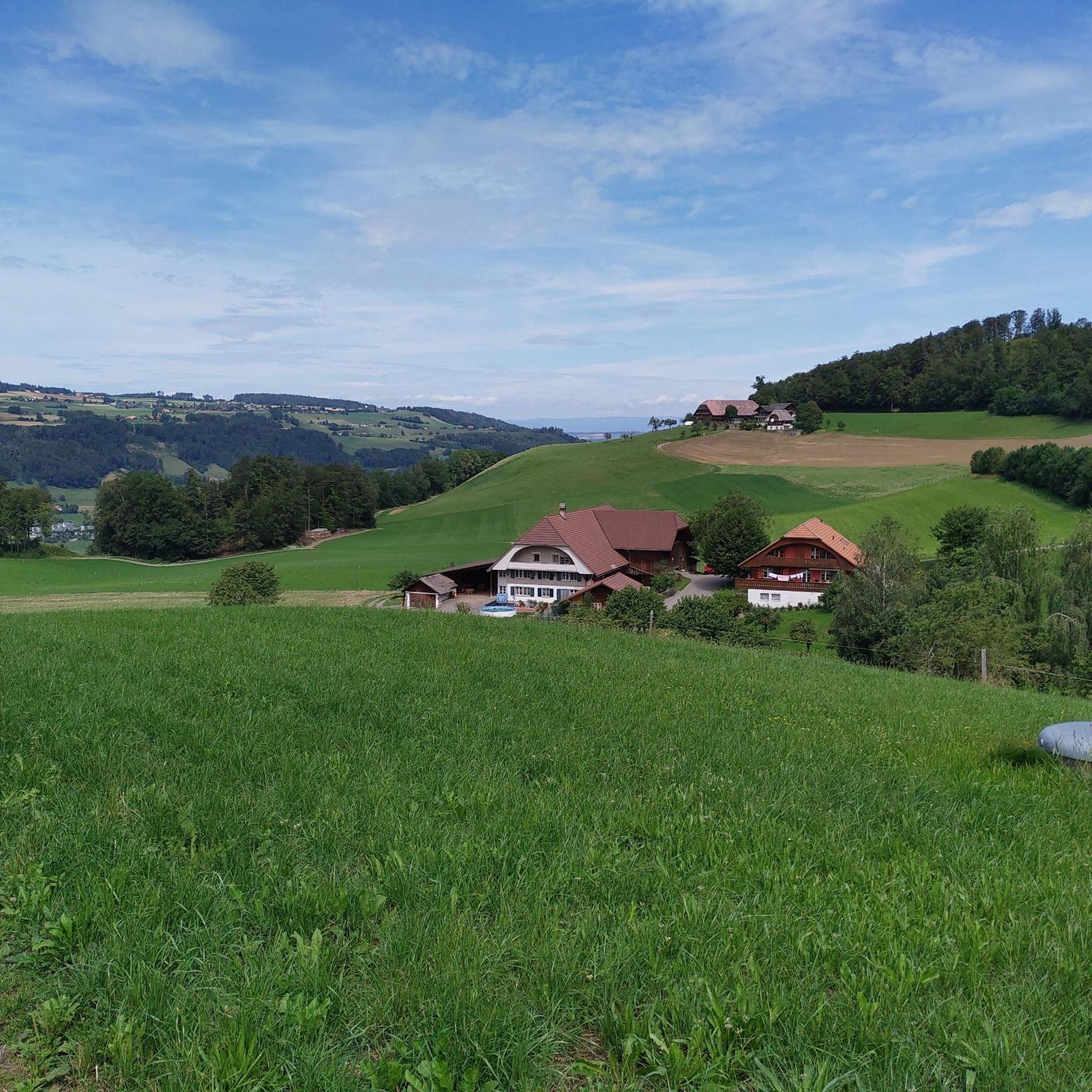
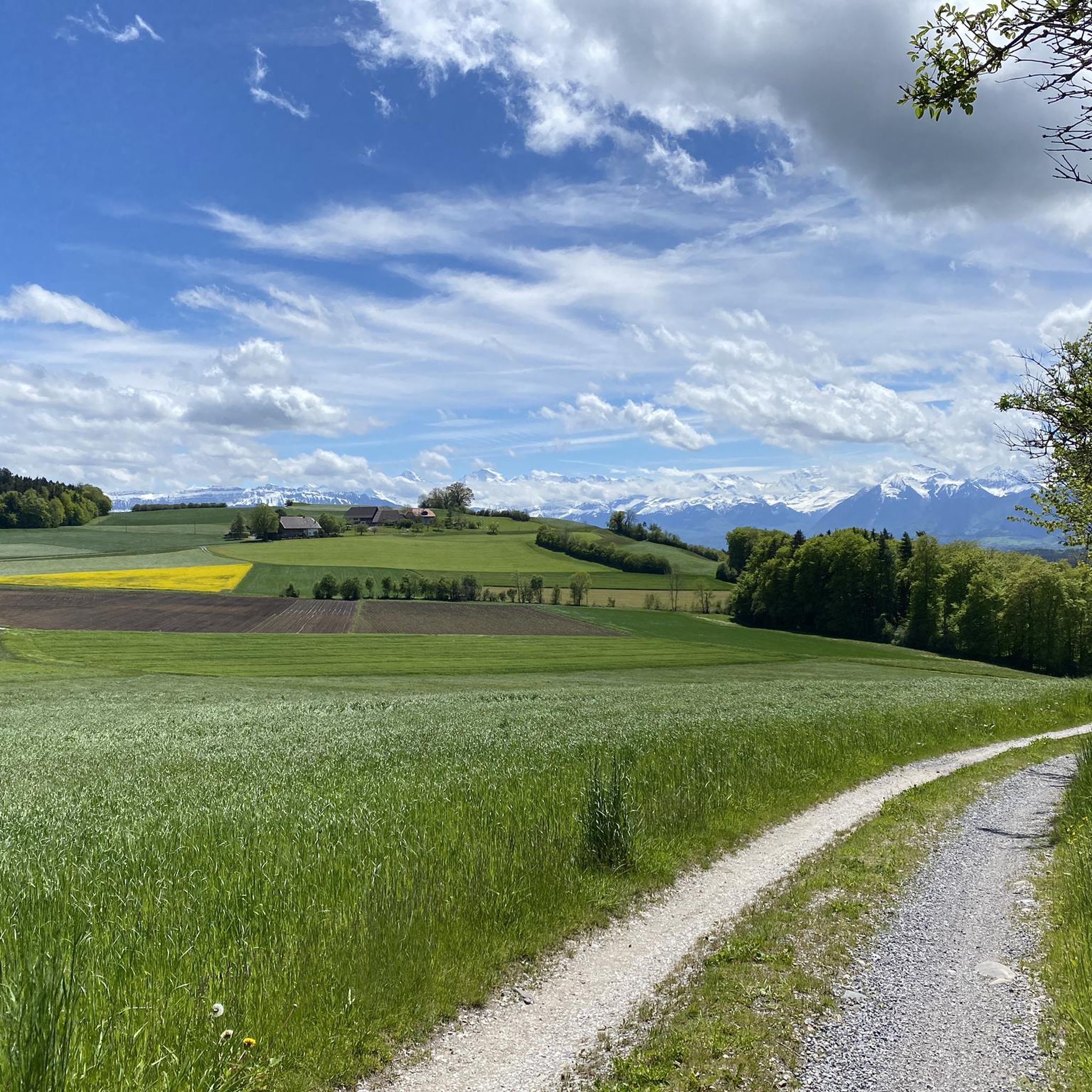
Hiking around Gelterfingen offers varied terrain characterized by green hills and extensive forests. The region provides diverse natural settings for outdoor activities, with trails winding through wooded areas and open landscapes. From various vantage points, hikers can experience panoramic views of the distant Bernese Alps. This area near Bern, Switzerland, is well-suited for exploring its natural beauty on foot.
Best hiking trails around Gelterfingen
- The most popular hiking route is View of the Alps – View of the Alps from…
Last updated: June 27, 2026
4.6
(17)
77
hikers
8.89km
02:46
330m
330m
Moderate hike. Good fitness required. Easily-accessible paths. Suitable for all skill levels.
5.0
(4)
31
hikers
8.08km
02:03
20m
20m
Moderate hike. Good fitness required. Easily-accessible paths. Suitable for all skill levels.

Sign up for free
17
hikers
7.00km
02:14
280m
280m
Moderate hike. Good fitness required. Easily-accessible paths. Suitable for all skill levels.
4.0
(1)
6
hikers
12.5km
03:59
520m
520m
Moderate hike. Good fitness required. Easily-accessible paths. Suitable for all skill levels.
4.0
(2)
7
hikers
2.83km
00:48
60m
50m
Easy hike. Great for any fitness level. Easily-accessible paths. Suitable for all skill levels.
Get access to more routes and recommendations from other explorers.
Sign up for free
Already have an account?
Our route recommendations are based on thousands of hikes, rides, and runs completed by other people on komoot.
Start today with a free account
Your next adventure awaits.
Login or Signup


Tips from the Community

The castle looks unassuming from the main road. It's much more imposing from the side. However, there's a driving ban from the main road, so you can only admire it on foot or from the upper hiking trail.
0
0

The Chutze marks the highest point on the eleven-kilometer-long Belpberg ridge between the Aare and Gürbe valleys. Despite its modest altitude (892 meters), it offers a phenomenal 360° panoramic view – of the Bernese Alps, Emmental, Jura, and often as far as the Aare valley. ✳️ Sights & Refreshments - Remains of the 12th-century Hohburg castle ruins, accessible above the path to the Chutzen. - Restaurant Chutzen (at 887 meters) directly at the viewpoint – regional cuisine, terrace with an Alpine view, usually open Wednesday to Sunday until 10:00 PM. - Memorial stone for John F. Kennedy in remembrance of Hungarian freedom aspirations, discreetly placed at the highest point.
0
0


Farm shop with walnut products, e.g. Belper nut cake. Seasonal fresh nuts of various types. Payment with TWINT possible.
0
0
Very beautiful and quiet location. There is covered seating (at least for 20 people). The Halten forest hut can be reserved (from the local authority). However, it is unclear whether a reservation excludes other people from using it.
0
0


The Bütschelegg restaurant in Oberbütschel, Switzerland offers a delightful culinary experience with coffee moments, light snacks and delicious desserts. With a spacious hall and a stage, it is perfect for baptisms, birthdays, weddings and business lunches. For reservations or more information: https://www.xn--btschelegg-9db.ch/
1
0
Beautiful stage of the Alpine Panorama Trail
0
0
Frequently Asked Questions
What kind of terrain can I expect when hiking around Gelterfingen?
The region around Gelterfingen is characterized by green hills and extensive forests, offering a varied landscape for hikers. You'll find trails winding through wooded areas, open fields, and hilly terrain, with many routes providing panoramic views of the distant Bernese Alps.
How many hiking trails are available in the Gelterfingen area?
There are over 500 hiking trails around Gelterfingen listed on komoot, catering to various skill levels. This includes more than 300 easy routes, over 240 moderate trails, and a selection of more challenging options.
Are there any family-friendly hiking options in Gelterfingen?
Yes, Gelterfingen offers numerous easy trails suitable for families. For instance, the Hiking loop from Gerzensee is an easy route that covers about 2.8 kilometers and takes approximately 45 minutes, making it a good choice for a shorter family outing.
What are some notable landmarks or viewpoints I can discover on a hike?
Hikers can explore several interesting points of interest. Consider visiting the Gurten Viewpoint or the Ulmizberg Observation Tower for expansive vistas. The area also features natural highlights like the Köniztal gorge.
Are there circular hiking routes available in Gelterfingen?
Many of the trails around Gelterfingen are designed as loops, allowing you to start and end at the same point. Examples include the popular View of the Alps – View of the Alps from Bern loop from Gerzensee and the View from Belpberg – Chutzen Summit, Belpberg loop from Gerzensee.
What do other hikers say about the trails in Gelterfingen?
The hiking routes in Gelterfingen are highly rated by the komoot community, with an average score of 4.6 stars from over 1000 reviews. Hikers often praise the diverse natural settings, the panoramic views of the Bernese Alps, and the well-maintained trails that cater to various difficulty levels.
Is it possible to reach hiking trailheads using public transport?
Yes, many trailheads in the Gelterfingen area are accessible via public transport. The region is well-connected, with routes often starting near villages or train stations like Toffen, making it convenient to begin your hike without a car.
Where can I find parking for hiking trails near Gelterfingen?
Parking is generally available in the villages and towns surrounding Gelterfingen, such as Gerzensee or Toffen, which serve as common starting points for many trails. Specific parking information can often be found on individual route pages on komoot.
What is the best time of year to go hiking in Gelterfingen?
The region is enjoyable for hiking throughout much of the year. Spring and autumn offer pleasant temperatures and beautiful scenery with blooming flowers or vibrant foliage. Summer is also popular, though some trails might be busier. Winter hiking is possible, but conditions can vary, so checking local reports is advisable.
Are there any longer, more challenging hikes in the area?
While many trails are easy to moderate, there are more challenging options for experienced hikers. For example, the Restaurant Corten Bütschelegg – Bütschelegg Signal loop from Toffen is a moderate route spanning over 12 kilometers with significant elevation gain, offering a longer and more strenuous experience.
Can I find places to eat or drink along the hiking routes?
Yes, the villages and towns near the hiking trails, such as Toffen or Gerzensee, often have local cafes and restaurants where you can stop for refreshments or a meal. Some longer routes might also pass by mountain huts or eateries, especially in more populated areas.
Most popular routes around Gelterfingen
Most popular attractions around Gelterfingen

Get inspired with the komoot mobile app


Explore more
Browse the best Hikes in other regions.
