Top 20 Natural Monuments around Wachtberg
Natural monuments around Wachtberg offer diverse geological features and protected areas within the Rhein-Sieg district of North Rhine-Westphalia, Germany. The region is characterized by its varied landscapes, including extinct volcanoes and unique rock formations. These sites provide habitats for specific flora and fauna, contributing to the area's ecological significance. Visitors can explore these natural attractions through established trails and viewpoints.
Best natural monuments around Wachtberg
- The most popular natural monuments is Stenzelberg Rock Formations, a natural monument located near…
Last updated: July 10, 2026
Drachenfels Castle Ruins
Highlight • Castle
Translated by Google •
Tip by

View of Drachenburg Castle
Highlight • Viewpoint
Showing Translation
Tip by

Sign up now to discover places like this
Get recommendations on the best single tracks, peaks, & plenty of other exciting outdoor places.
Sign up for free
Siegfried Pulpit
Highlight • Viewpoint
Showing Translation
Tip by

Stenzelberg Rock Formations
Highlight • Natural Monument
Geologically, the Stenzelberg is a …
Translated by Google •
Tip by

View of the Seven Hills (Siebengebirge)
Highlight • Viewpoint
Translated by Google •
Tip by

Sign up for free to discover even more natural monuments around Wachtberg.
Sign up for free
Already have an account?
Start today with a free account
Your next adventure awaits.
Login or Signup
Popular around Wachtberg
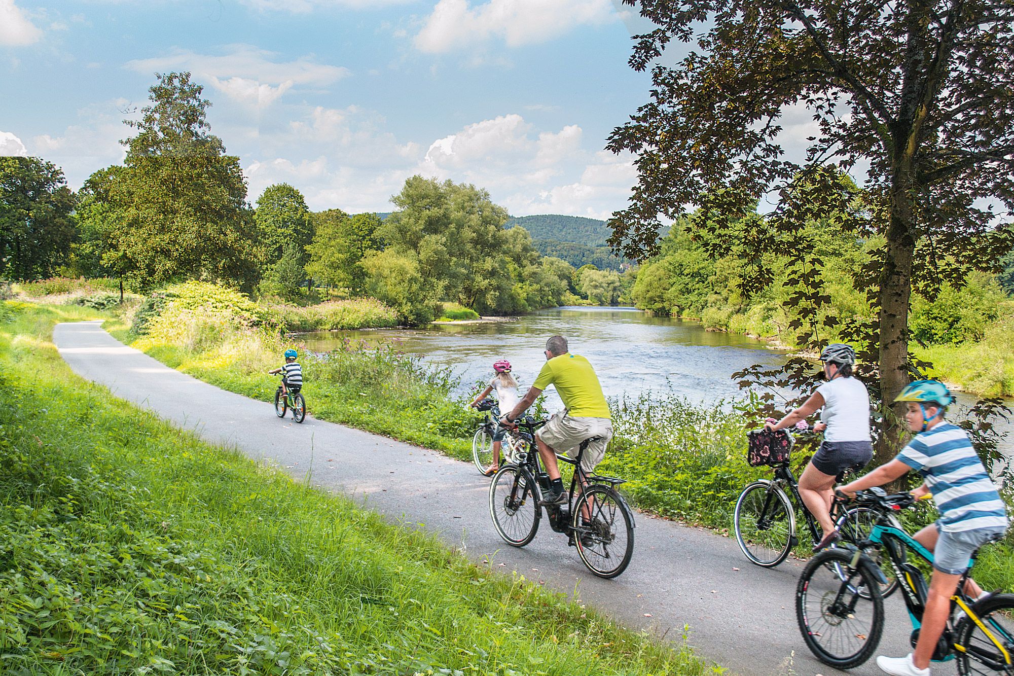
Nature bathing on your bike – beautiful Tours on the Rhine and Sieg
Nature and culture in beautiful landscapes – hikes on the Rhine and Sieg
Naturpark Rheinland - Our most beautiful hiking trails
Im Zeichen des Apfels – Die Rheinische Apfelroute
Hiking around Wachtberg
Cycling around Wachtberg
Running Trails around Wachtberg
Road Cycling Routes around Wachtberg

Gravel biking around Wachtberg
MTB Trails around Wachtberg
Other adventures around Wachtberg


Tips from the Community

Climbing on the Stenzelberg has been expressly forbidden since June 2005. Previously, the Rhein-Sieg district had tolerated climbing, although the Stenzelberg, like the entire Siebengebirge, had been designated as a nature reserve (NSG) since 1920. The climbing ban became necessary due to the new nature reserve ordinance in the course of the recognition of the Siebengebirge as FFH area 5309-301 (Fauna-Flora-Habitat) of the European Union. In particular, the occurrence of the wall lizard was concerned and egg-laying sites at the foothills of the fields were destroyed. Despite the ban, climbing continued illegally after 2005. The path to the rocks was therefore closed by the forestry department.
13
0

The Stenzelberg is geologically a spring dome from the volcanic rock Latit. The rising magma did not reach the earth's surface here, but got stuck in the surrounding tuff cover rock. The softer tuff was later eroded away, exposing the harder latite. The Stenzelberg has been used as a quarry since the 11th century, in which quartz latite rock was mined. The Heisterbach Abbey also operated a quarry on the Stenzelberg. The quarried material was also used to build the monastery buildings and the abbey church. Furthermore, rock from the Stenzelberg was used for the Propsteikirche in Oberpleis, the Nikolauskapelle in Heisterbacherrott and the Bonn Minster, and later also for the churches in Niederdollendorf, in Oberdollendorf and in Asbach. The operation of the quarry ended in 1931. Source: https://www.kuladig.de/Objectansicht/O-FJK-20100630-0032
13
0

The Stenzlberg offers rugged rocks, exciting views, history and beautiful narrow paths.
15
0

A bizarre rocky landscape in the Siebengebirge.
13
0
Has its appeal even in fog.
13
0

The Stenzelberg has retained its attractiveness even after stone quarrying ended. Stones have not been quarried since 1931. Due to its picturesque rocky landscape, the Stenzelberg is still a popular destination for many hikes. In addition, the 287-meter-high summit offers habitat for animals such as smooth snakes and wall lizards. For this reason, it is kept free of shrub and tree growth.
15
2

The Stenzelberg is a 287 meter high mountain in the Siebengebirge and is located southwest of the Heisterbacherrott district of Königswinter near the Heisterbach monastery. Geologically, the Stenzelberg is a spring dome from the volcanic rock Latit, whereby the rising magma did not reach the earth's surface, but got stuck in the surrounding tuff cover rock. Erosion later eroded the softer tuff and exposed the harder latite. The Stenzelberg has been used as a quarry for quartz latite since the 11th century. The stone was used, among other things, for the Propsteikirche in Oberpleis, the Nikolauskapelle in Heisterbacherrott and the Bonn Minster, and later also for the churches in Niederdollendorf, Oberdollendorf and Asbach. Quarrying ended in 1931.[3] After the closure of the quarries, a characteristic landscape developed on the Stenzelberg, which offers the special flora and fauna of a dry biotope. (Info taken from https://de.wikipedia.org/wiki/Stenzelberg)
21
0

Great rocks with a great view of the Rhine
13
0
Frequently Asked Questions
What unique geological features can I explore around Wachtberg?
The Wachtberg area offers fascinating geological formations. The Rodderberg is an extinct volcano with a visible 800-meter-wide crater and slopes of basaltic tuff. Nearby, the Stenzelberg Rock Formations are a spring dome of volcanic rock (latite) where erosion has exposed distinctive rock formations, steep faces, and free-standing 'Umläufer'.
Are there specific natural monuments suitable for hiking around Wachtberg?
Yes, both the Rodderberg and the Stenzelberg Rock Formations offer popular hiking opportunities. The Rodderberg features a 3.4 km circular hiking trail, while the Stenzelberg has a circular path around the mountain, providing views of its rocky landscape. For more hiking options, you can explore the hiking guide for Wachtberg.
What are the best viewpoints to experience the natural monuments around Wachtberg?
From the Rodderberg, the Heinrichsblick viewpoint offers panoramic views of the Siebengebirge, the Rhine Valley, and on clear days, even the Cologne Cathedral. Other notable viewpoints include the View of Drachenburg Castle and the View of the Rhine Valley from the Siegfried Pulpit, both providing expansive vistas of the surrounding landscape and historical sites.
Are there family-friendly natural monuments in the Wachtberg area?
Many natural monuments around Wachtberg are suitable for families. The circular trail around the Rodderberg is manageable for families, offering scenic views and an interesting geological experience. The View of the Rhine Valley from the Siegfried Pulpit is also categorized as family-friendly, providing a beautiful spot for a break with a view.
What kind of wildlife and flora can I expect to see at these natural monuments?
The natural monuments around Wachtberg are important conservation areas. The Rodderberg, designated as a Flora-Fauna-Habitat (FFH) area, is a 'warm island' habitat for over 40 endangered animal and plant species, including rare semi-dry and dry grasslands. The Stenzelberg Rock Formations also support a dry biotope with special flora and fauna, notably providing a habitat for animals like smooth snakes and wall lizards.
What is the historical significance of the natural monuments in this region?
The Rodderberg is an ancient extinct volcano, approximately 800,000 years old. Below it lies the romantic Rolandsbogen, a remnant of the former Rolandseck castle. The Stenzelberg Rock Formations were historically a quarry from the 11th century until 1931, with its quartz latite stone used in constructing significant buildings like the Bonn Minster. Additionally, the Drachenfels Castle Ruins offer a glimpse into the region's medieval past.
What outdoor activities are available near Wachtberg's natural monuments?
Beyond hiking, the area around Wachtberg offers diverse outdoor activities. You can find options for gravel biking and running. The nearby routes include trails through forests and scenic landscapes, complementing a visit to the natural monuments.
When is the best time of year to visit the natural monuments around Wachtberg?
The natural monuments around Wachtberg can be enjoyed throughout the year. Spring and autumn offer pleasant temperatures for hiking and vibrant natural colors. The Rodderberg, with its unique flora, is particularly beautiful when wildflowers are in bloom. Clear days in any season provide the best conditions for panoramic views from viewpoints like Heinrichsblick.
How can I get to the natural monuments using public transport?
While specific public transport details for each monument vary, the Wachtberg municipality is part of the Rhein-Sieg district, which is served by regional bus lines connecting to larger towns like Bonn. It's advisable to check local bus schedules for routes that pass near the Rodderberg or the Stenzelberg Rock Formations, often requiring a short walk from the nearest stop.
Where can I find parking near the natural monuments?
For the Rodderberg, parking is typically available at designated spots near the trailheads in the eastern part of Wachtberg. For the Stenzelberg Rock Formations, visitors usually find parking in the vicinity of Heisterbacherrott in Königswinter, from where the circular path around the mountain begins. Always look for official parking areas to ensure responsible visiting.
What do visitors enjoy most about the natural monuments around Wachtberg?
Visitors frequently praise the stunning panoramic views, especially from spots like the Heinrichsblick on the Rodderberg, which offers vistas of the Siebengebirge and the Rhine Valley. The unique rocky landscape and geological features of the Stenzelberg Rock Formations are also highly appreciated, along with the diverse flora and fauna found in these protected areas.
Are there any circular hiking trails around the natural monuments?
Yes, there are well-defined circular trails. The Rodderberg features a 3.4 km circular hiking trail that guides you past its crater and viewpoints. Similarly, the Stenzelberg Rock Formations have a circular path that allows hikers to explore the rock faces, gorges, and unique 'Umläufer' formations.
Most popular routes around Wachtberg
Most popular attractions around Wachtberg

Get inspired with the komoot mobile app


Explore more
Extend your search for the best caves by checking out these guides of the top ones around Wachtberg:
