The best mountain hikes around Wachtberg
4.8
(21)
77
hikers
13
hikes
Mountaineering routes around Wachtberg are situated within the Rheinland Nature Park, offering a diverse landscape for outdoor exploration. The region features a mix of forests, fields, and streams, with varied terrain that includes both gentle paths and challenging climbs. Notable natural features include the Rodderberg, an extinct volcano providing routes with significant elevation changes. While not typically associated with technical mountaineering, the area provides robust trails suitable for those seeking challenging walks and ascents.
Best mountaineering routes around Wachtberg
- The…
Last updated: October 4, 2026
4.7
(3)
21
hikers
21.1km
06:41
830m
830m
Hard mountaineering route. Very good fitness required. Mostly accessible paths. Sure-footedness required.
5.0
(3)
8
hikers
Moderate mountaineering route. Good fitness required. Mostly accessible paths. Sure-footedness required.

5.0
(6)
16
hikers
Hard mountaineering route. Very good fitness required. Mostly accessible paths. Sure-footedness required.
5.0
(1)
1
hikers
Easy mountaineering route. Great for any fitness level. Easily-accessible paths. Suitable for all skill levels.
3.0
(1)
2
hikers
8.44km
02:32
270m
270m
Moderate mountaineering route. Good fitness required. Easily-accessible paths. Suitable for all skill levels.
Get access to more routes and recommendations from other explorers.
Already have an account?
Our route recommendations are based on thousands of hikes, rides, and runs completed by other people on komoot.
Start today with a free account
Your next adventure awaits.
Popular around Wachtberg
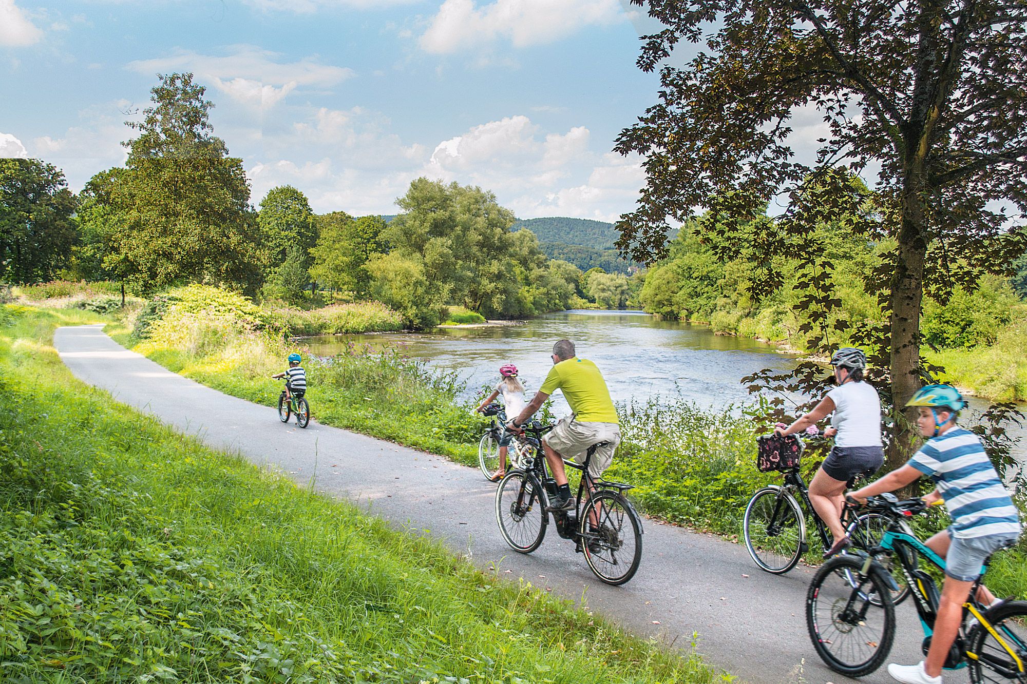
Nature bathing on your bike – beautiful Tours on the Rhine and Sieg
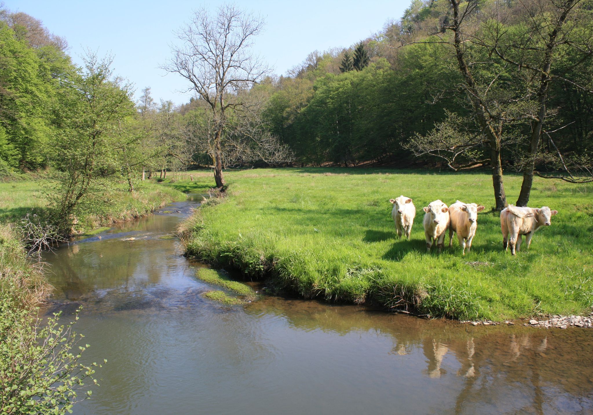
Nature and culture in beautiful landscapes – hikes on the Rhine and Sieg
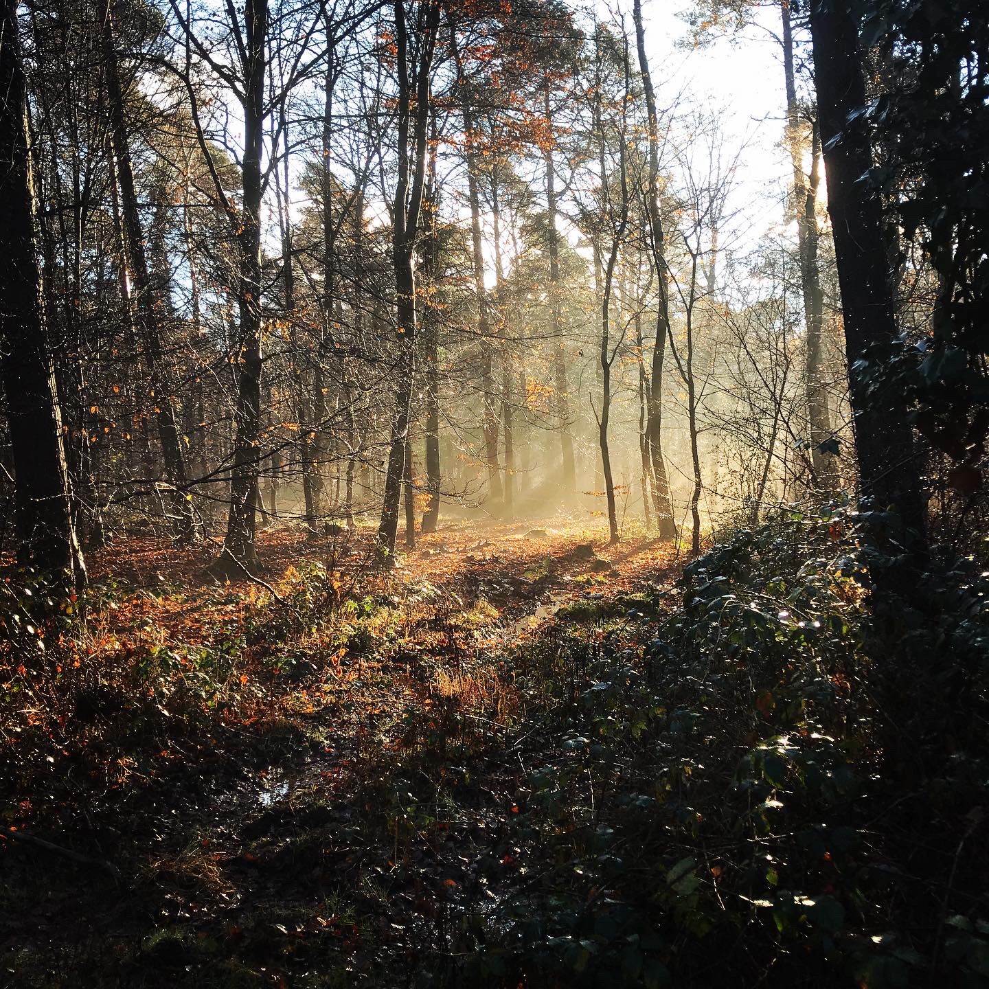
Naturpark Rheinland - Our most beautiful hiking trails
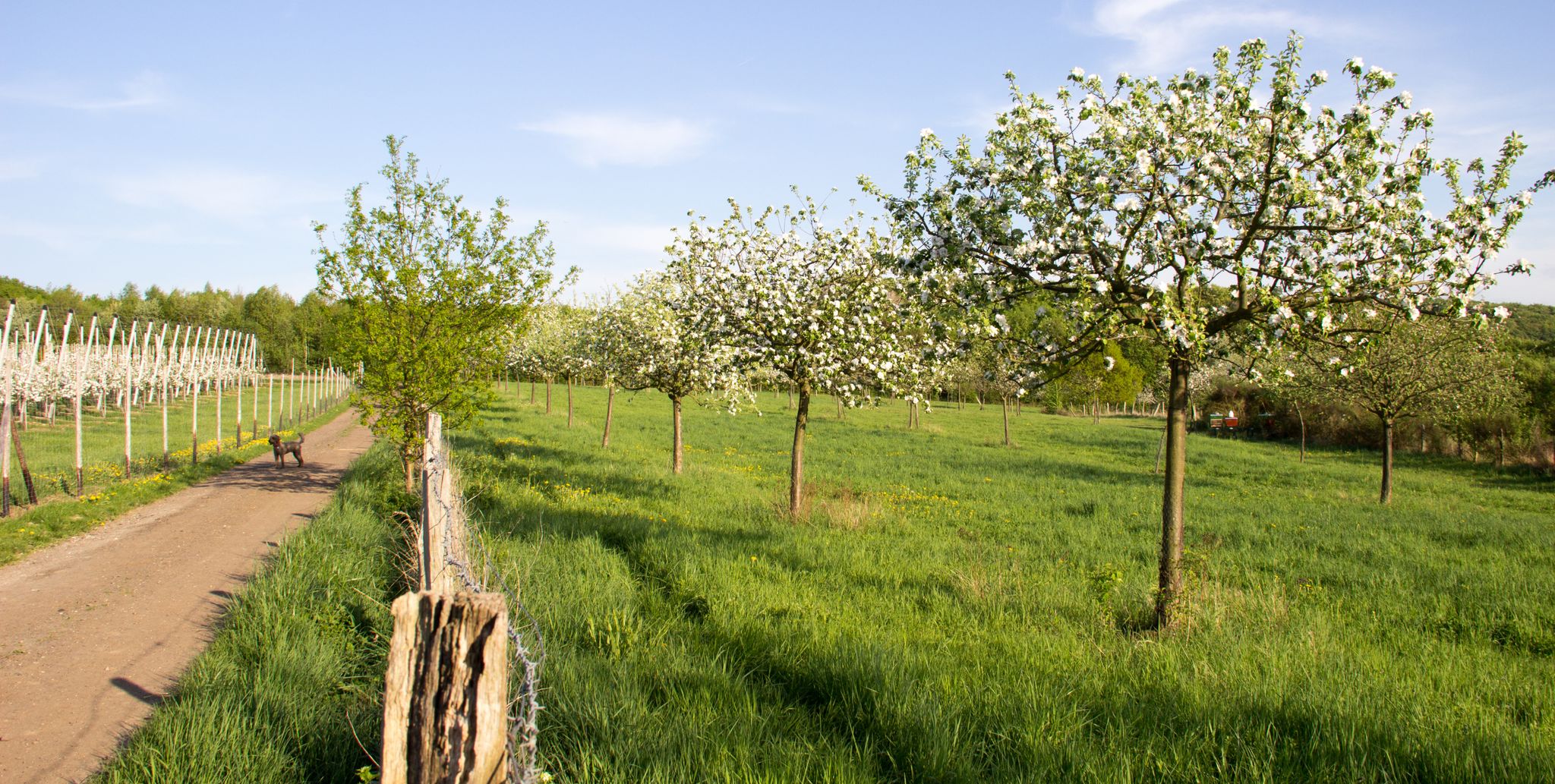
Im Zeichen des Apfels – Die Rheinische Apfelroute
Hiking around Wachtberg
Cycling around Wachtberg
Running Trails around Wachtberg
Road Cycling Routes around Wachtberg

Gravel biking around Wachtberg
MTB Trails around Wachtberg
Other adventures around Wachtberg


Tips from the Community

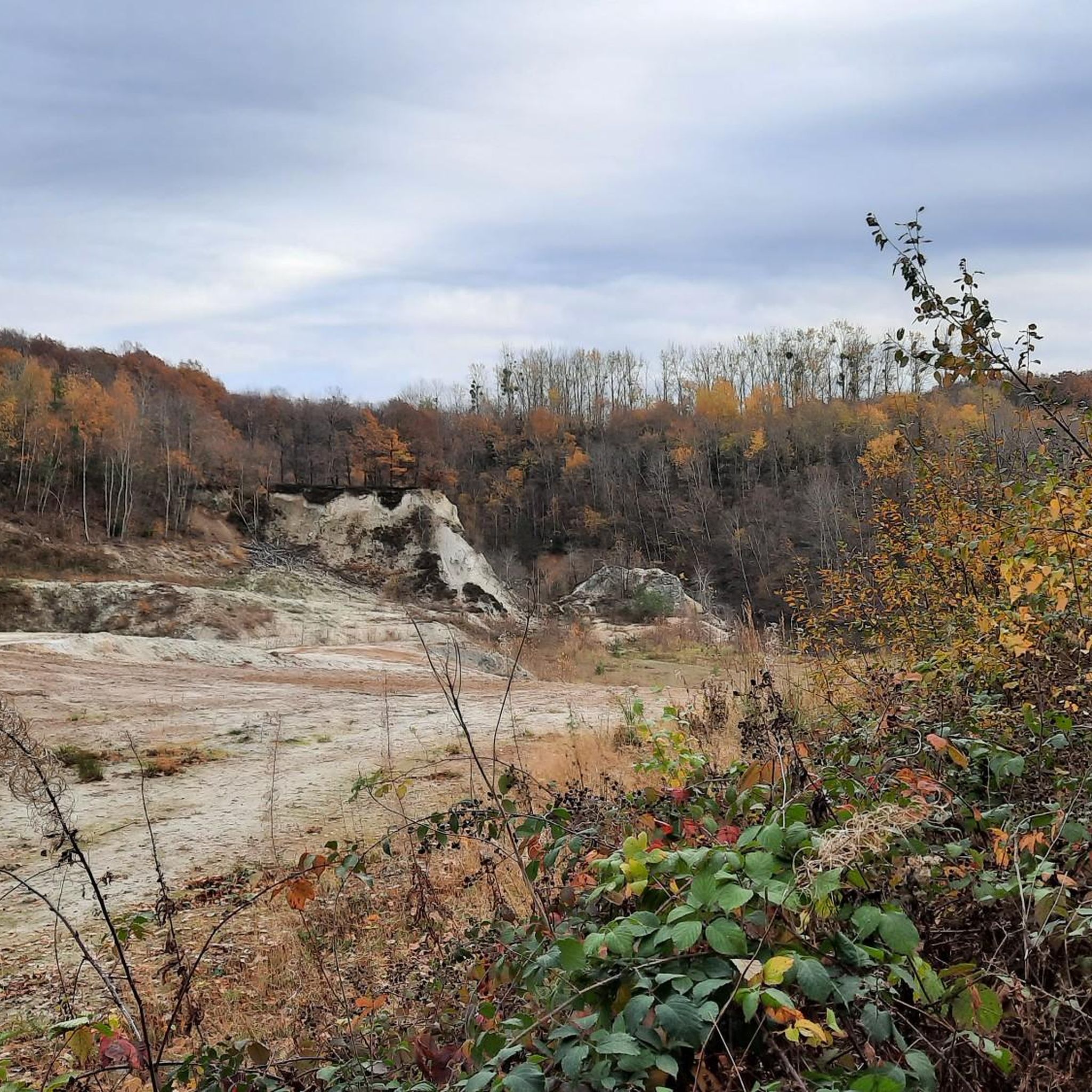
Before the Siebengebirge became the first nature park in North Rhine-Westphalia in 1958, it experienced completely different times. For many years, the volcanic rock was highly sought after as a building material in the surrounding area and was therefore exploited accordingly. The quarry, visible a short distance later, to which the crushing plant documented here belonged, bears witness to this past.
0
0

This path is simply gorgeous. I'm so glad I included it.
0
0

It is not a natural cave and just an artificially expanded tunnel.
1
0

Such a nice view! Woww https://www.summithealthpatient-portal.com
1
0
What today belongs to a strictly protected nature park - and may seem like a romantic backdrop to the hiker - was in earlier times a not-so-safe workplace: The volcanic rock formed the natural basis for a brisk trade in the coveted building material and had to be removed by painstaking manual labor.
3
0

from here you can see the Drachenfels
9
0
The entrance area to the former monastery site, where the small remnant of the choir ruins is now a main attraction, leads from the street (bus stop and visitor/hikers' parking lot included) through the gatehouse, also known as the gatehouse.
10
0

Quite strenuous going uphill...
5
0
Frequently Asked Questions
What kind of terrain can I expect on mountaineering routes around Wachtberg?
The routes in Wachtberg, situated within the Rheinland Nature Park, offer a diverse landscape. You can expect a mix of forests, open fields, and streams, with paths ranging from wide, accessible tracks to narrower, more challenging trails. The region features varied terrain, including routes through urban areas and villages, and notable elevation changes, particularly around the Rodderberg, an extinct volcano.
How challenging are the mountaineering routes in Wachtberg?
Wachtberg offers a range of mountaineering routes suitable for different fitness levels. There are 4 easy routes for those seeking a gentler experience, 9 moderate routes that provide a good workout, and 2 difficult routes for experienced mountaineers looking for significant ascents and longer distances. For example, the Drachenfels Summit and Ruins – Trail over the Nonnenstromberg loop from Königswinter is a challenging option.
Are there any easy or family-friendly mountaineering routes in Wachtberg?
Yes, Wachtberg offers several easier routes perfect for families or those new to mountaineering. For instance, the Heisterbach Abbey Gatehouse – Stenzelberg loop from Naturpark Siebengebirge is an easy 5 km (3.1 miles) trail that can be completed in under 1.5 hours, offering a pleasant walk through the Naturpark Siebengebirge.
What natural features or landmarks can I see along the mountaineering routes?
Many routes offer stunning natural features and historical landmarks. You might encounter the unique Stenzelberg Rock Formations, enjoy panoramic vistas from viewpoints like the View of the Rhine Valley from the Siegfried Pulpit, or explore the area around the extinct Rodderberg volcano. Some trails also pass by impressive structures like the Drachenfels Castle Ruins.
Are there circular mountaineering routes available in Wachtberg?
Yes, Wachtberg features several circular routes that allow you to start and end at the same point. The region is known for options like the 'Around the Wachtberg - in the Drachenfelser Ländchen' mentioned in regional research. A specific example from our collection is the Mountaineering loop from Bad Honnef, which offers a moderate 9.9 km (6.1 miles) experience.
What do other mountaineers enjoy most about the routes in Wachtberg?
The mountaineering routes around Wachtberg are highly rated by the komoot community, with an average score of 4.75 stars from over 18 reviews. Mountaineers often praise the varied terrain, the scenic views, and the challenging ascents found in the region. Over 67 mountaineers have used komoot to explore Wachtberg's diverse trails.
Are there routes that offer great views of castles or the surrounding landscape?
Absolutely. Many routes provide excellent viewpoints. For instance, the The Little Milk House – Drachenfels Summit and Ruins loop from Niederdollendorf offers scenic views of the Drachenfels area. You can also find routes that provide glimpses of historical sites like Gudenau Castle or the impressive View of Drachenburg Castle.
When is the best time to go mountaineering in Wachtberg?
The Rheinland Nature Park, where Wachtberg is located, is generally enjoyable for outdoor activities throughout much of the year. Spring and autumn offer pleasant temperatures and beautiful scenery with blooming flora or vibrant fall colors. Summer is also suitable, though some routes might be more exposed to the sun. Always check local weather conditions before heading out.
Are the mountaineering routes in Wachtberg accessible by public transport?
While specific public transport details for each trailhead are not provided, the region is part of the Rheinland Nature Park, which generally has good connectivity. It's advisable to research local bus or train services to nearby towns like Königswinter or Bad Honnef, which often serve as starting points for many routes, such as the View of Drachenburg Castle – Stenzelberg loop from Königswinter Drachenfelsbahn.
Are the mountaineering routes around Wachtberg suitable for dogs?
Generally, trails within the Rheinland Nature Park are dog-friendly, making them suitable for mountaineering with your canine companion. However, it's always recommended to keep dogs on a leash, especially in nature protection areas, and to be mindful of other hikers and wildlife. Ensure your dog is fit enough for the chosen route's distance and elevation.
What are some longer or more strenuous mountaineering options for experienced hikers?
For those seeking a significant challenge, Wachtberg offers routes with considerable elevation gain and distance. The Drachenfels Summit and Ruins – Trail over the Nonnenstromberg loop from Königswinter, for example, is a difficult 22.2 km (13.8 miles) route with over 870 meters of elevation gain, requiring good fitness and sure-footedness.
Most popular routes around Wachtberg
Most popular attractions around Wachtberg

Get inspired with the komoot mobile app


Explore more
Browse the best Mountain Hikes & Routes in other regions.
