The best walks and hikes around the Garonne-Kanal
4.5
(7654)
63,199
hikers
1,075
hikes
Hiking around the Garonne-Kanal offers a diverse landscape characterized by serene canal towpaths, often shaded by plane trees, and picturesque riverside scenery along the Garonne River. The region features flat, accessible routes ideal for all fitness levels, including easy hikes suitable for families. Hikers can experience both natural settings, such as the Montech Forest, and impressive engineering structures like aqueducts and historic locks.
Best hiking trails around the Garonne-Kanal
- The most popular hiking route is The tour of the quays…
Last updated: July 7, 2026
4.7
(48)
396
hikers
Moderate hike. Good fitness required. Mostly accessible paths. Sure-footedness required.
4.8
(40)
711
hikers
7.34km
01:52
20m
20m
Hike the easy 4.6-mile (7.3 km) tour of the quays of Bordeaux, exploring the Garonne river waterfront and UNESCO-listed facades.

Sign up for free
4.9
(59)
617
hikers
Hard hike. Very good fitness required. Mostly accessible paths. Sure-footedness required.
4.8
(45)
548
hikers
6.20km
02:14
340m
340m
Hike through the Enchanted Forest of Carlac from Bausén, a moderate 3.9-mile circular trail with ancient beech trees and valley views.
4.6
(41)
127
hikers
11.4km
02:55
50m
50m
Moderate hike. Good fitness required. Easily-accessible paths. Suitable for all skill levels.
4.5
(15)
227
hikers
12.7km
06:22
1,030m
1,030m
Hard hike. Very good fitness required. Sure-footedness, sturdy shoes and alpine experience required.
4.3
(18)
284
hikers
10.5km
03:54
400m
400m
Hike the moderate 6.5-mile Via Calda Trail through diverse Pyrenean landscapes, featuring forests, mountain paths, and glacial lakes.
4.9
(16)
56
hikers
5.80km
01:30
30m
30m
Hike the easy 3.6-mile Via Sancti Martini - Saragosse Way Trail in Bordeaux, exploring historical sites like Roman ruins and the Water Mirro
4.7
(13)
89
hikers
19.3km
07:41
950m
950m
Hike the difficult 7 Lakes of Colomèrs Route, a 12.0-mile (19.3 km) trail through a stunning glacial landscape in the Pyrenees.
4.6
(18)
80
hikers
9.36km
02:35
150m
160m
Moderate hike. Good fitness required. Mostly accessible paths. Sure-footedness required.
Get access to more routes and recommendations from other explorers.
Sign up for free
Already have an account?
Our route recommendations are based on thousands of hikes, rides, and runs completed by other people on komoot.
Start today with a free account
Your next adventure awaits.
Login or Signup
Popular around Garonne canal

GR 10 – Explore the Ariège Pyrenees crossing the Pyrenees

Haute Route Pyrénéenne – Pyrenees Crossing
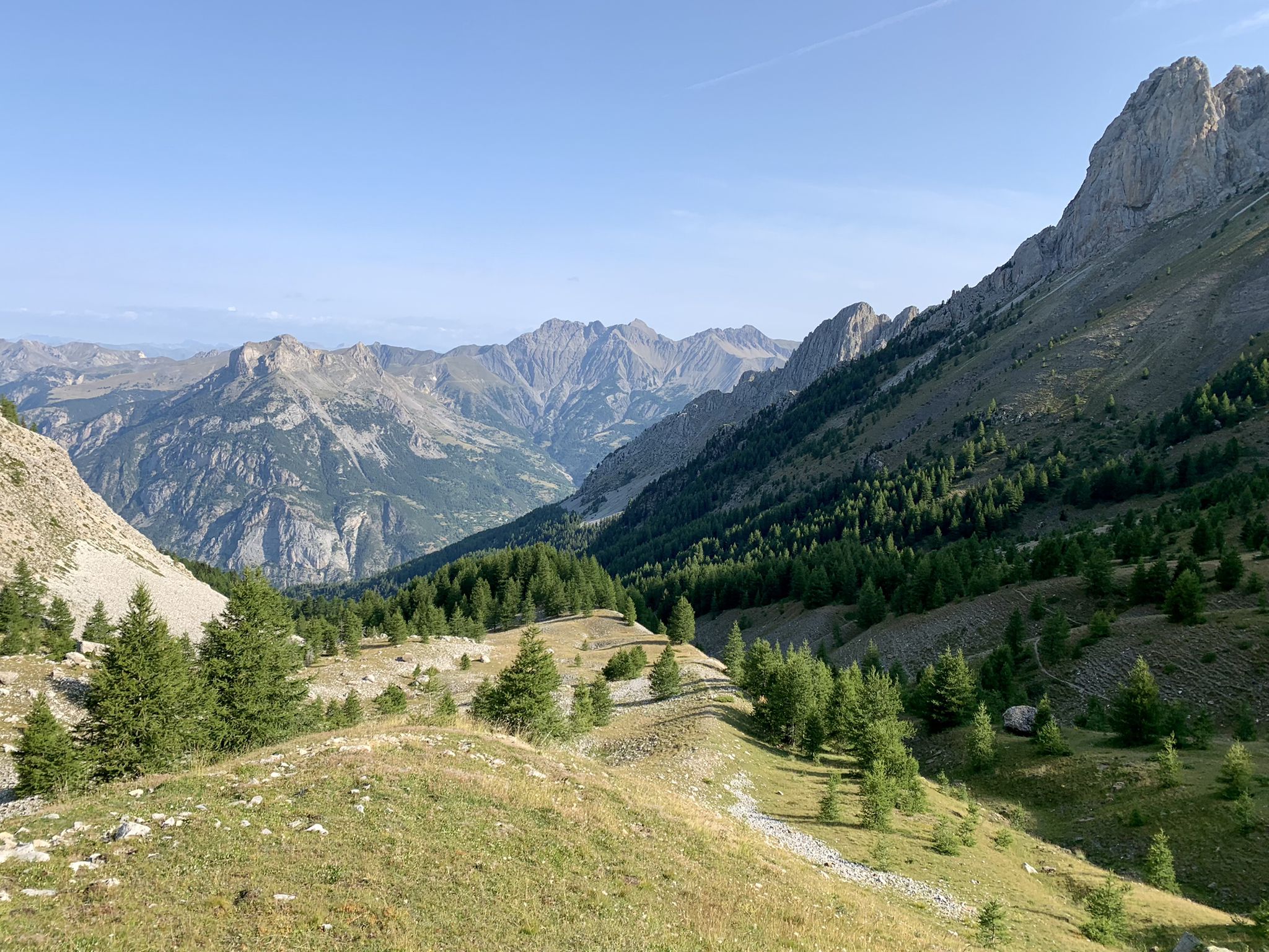
From the Alps to the Atlantic — GR 6
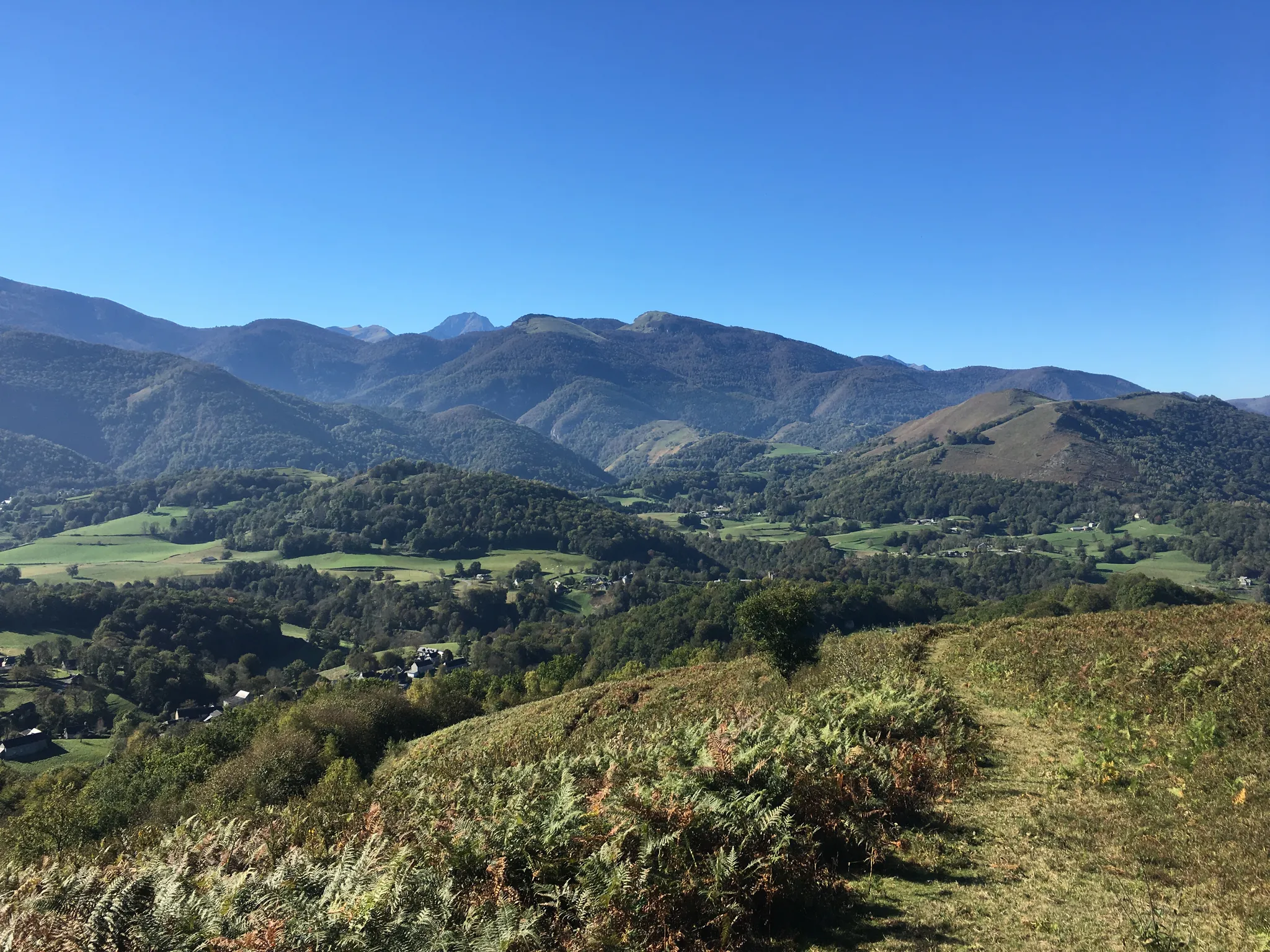
In the footsteps of pilgrims – GR 78, Pyrenean foothills route

On wild ridges: Catalonia to Ariège – Hexatrek, Eastern Pyrenees
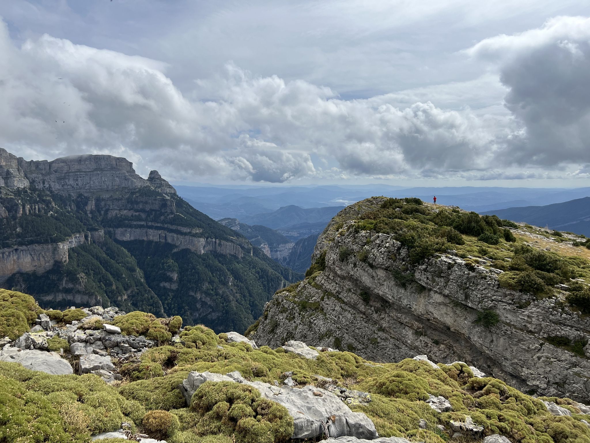
Summit conquests and idyllic mountain lakes – Spanish Pyrenees
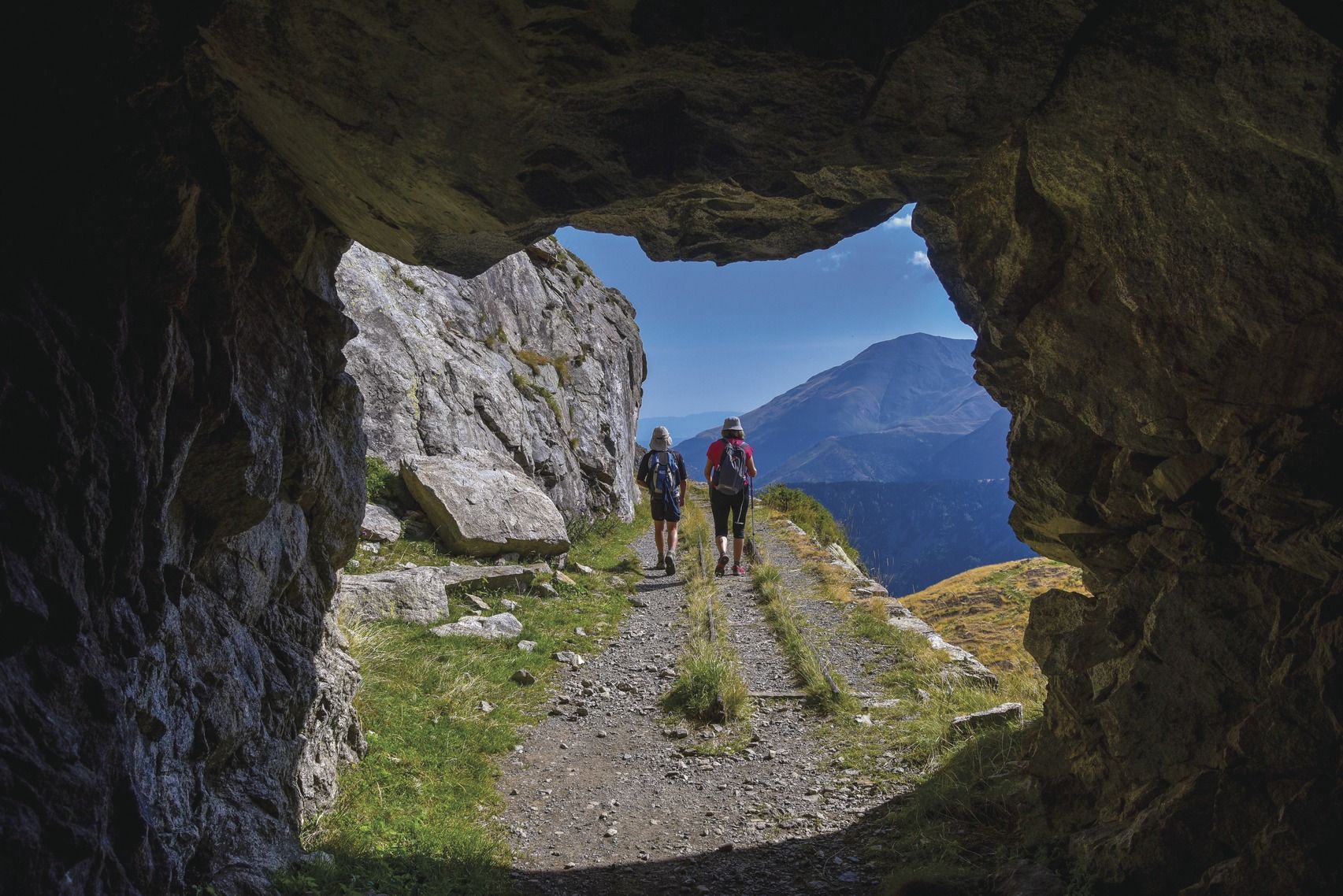
Six spectacular circular tours to discover Catalonia
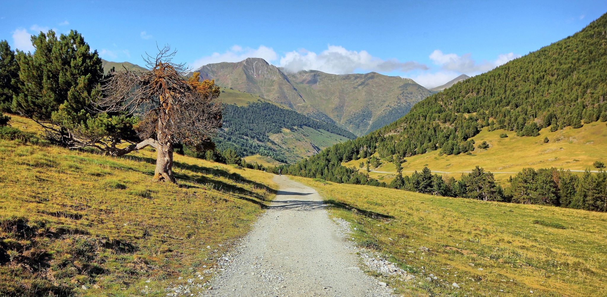
Linking history and nature – Val d'Aran circular (GR 211) in France
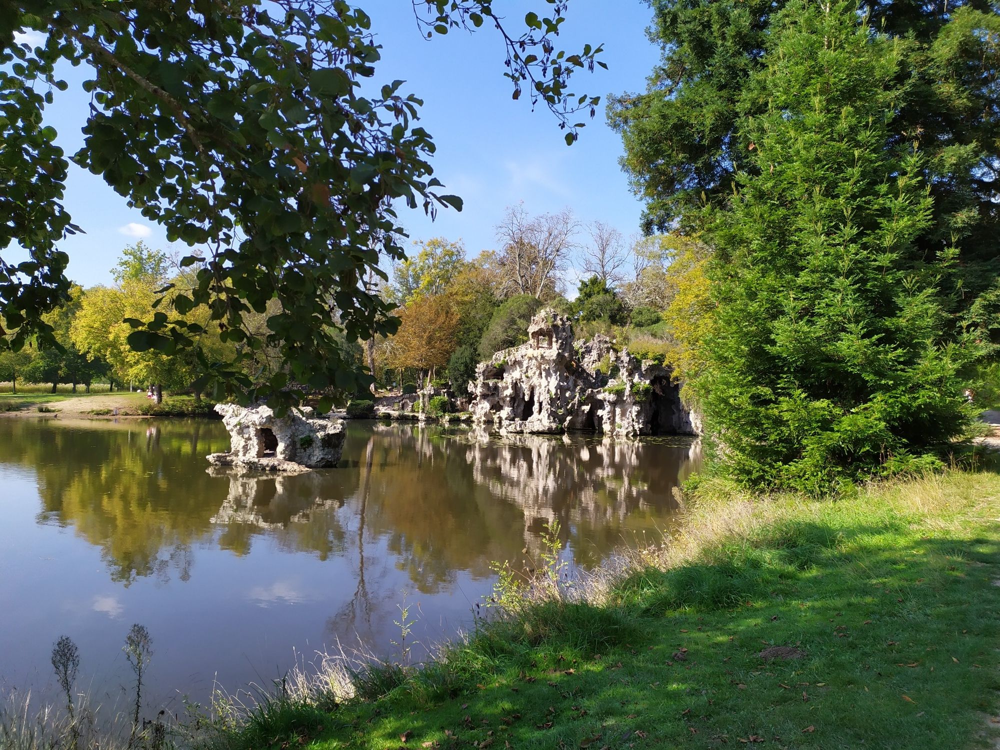
An Urban Adventure - The GR Bordeaux Metropole
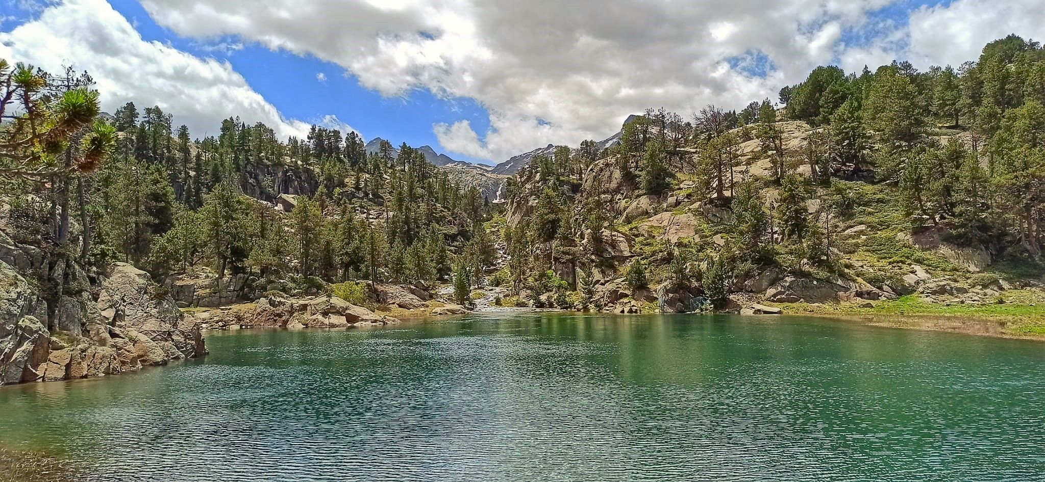
Hiking in fairytale valleys — Spain’s Aigüestortes National Park
Other adventures around the Garonne-Kanal


Tips from the Community

Very nice single track along the Garonne, very pleasant and pretty!
0
0

Right next door is Rochemontes Castle, a must-see. I couldn't tell you which side of the river it is; it all depends on where you're coming from. There's some serious stuff for those who enjoy it. 😉 Enjoy your walk
0
0

Only crossing of the Garonne nearby
0
0

A brief explanation of where the former amphitheater would be today if most of it had not been demolished in the 18th century.
1
0

The Colomèrs refuge is located at an altitude of 2,135 metres in the Upper Aran, next to the Colomèrs Lake, at the northern end of the Carros de Foc route. This route runs through the beautiful Aigues Tortes National Park and the Saint-Maurice Lake. It has 60 places to stay overnight, distributed in five rooms with 12 beds each with bunk beds. The showers are cold water. It also has a meal service.
2
0

impressive view of the Garonne
0
1

This is essentially a 14km clockwise loop. The ascent to the peaks is pretty well marked out although I’d always suggest downloading an offline route map. It’s not particularly technical just some simple clambering over a few steep rocky sections before the 1st col (Teyech). I wouldn’t fancy that rocky section if it’s frozen mind you. After the 2 stunning peaks the rest of the loop is a few kms along the ridge before turning down back through the forest. If it’s snowy, you’ll very easily lose the path (i did a lot) so another good reason to download the route.
0
0
Frequently Asked Questions
How many hiking trails are available around the Garonne Canal?
There are over 1000 hiking routes available around the Garonne Canal on komoot, offering a wide variety of experiences. These include 554 easy routes, 411 moderate routes, and 87 difficult routes, catering to all skill levels.
What kind of terrain can I expect on the Garonne Canal hiking trails?
The Garonne Canal trails are predominantly flat and accessible, often following serene canal towpaths. Many sections are shaded by plane trees, providing a pleasant experience. You'll also find picturesque riverside scenery along the Garonne River and, in some areas like the Montech Forest, more natural woodland paths.
Are there any family-friendly hiking options along the Garonne Canal?
Yes, the Garonne Canal is ideal for families. Many routes are flat and traffic-free, making them suitable for all ages. The towpaths are often converted into bike paths, providing safe and easy walking. Consider routes like The tour of the quays of Bordeaux for an accessible urban exploration, or look for paths near charming villages with picnic areas.
What are the best times of year to hike around the Garonne Canal?
The Garonne Canal is enjoyable throughout much of the year. Spring and autumn offer pleasant temperatures and beautiful scenery, with yellow irises adorning the banks in early summer. The tree-lined paths provide welcome shade during warmer summer months, making it a refreshing experience even then. Winter hiking is also possible, with the canal offering a tranquil atmosphere.
Are dogs allowed on the hiking trails along the Garonne Canal?
Generally, dogs are welcome on the towpaths and trails along the Garonne Canal. It's always recommended to keep them on a leash, especially in more populated areas or near wildlife. The traffic-free nature of many paths makes them suitable for walks with your canine companion.
What interesting landmarks or attractions can I see along the Garonne Canal?
The Garonne Canal features impressive engineering marvels and charming historical sites. You can discover structures like the world's first 'water slope' at Montech, significant aqueducts over the Tarn near Moissac, and the grand aqueduct over the Garonne at Agen. In Bordeaux, explore the Bordeaux Water Mirror or the historic Pont de Pierre (Stone Bridge). Many charming lock-keeper's houses also dot the canal.
Are there any circular hiking routes available?
Yes, there are several circular routes that allow you to explore different facets of the region. For example, The sand fishermen - loop starting from Seilh offers a moderate 11.4 km path with varied terrain near the Garonne. Another option is Loop in Bordeaux for an urban circular walk.
Where can I find good viewpoints along the Garonne Canal?
For panoramic views, consider visiting villages situated at higher altitudes above the Garonne, such as Meilhan sur Garonne, where 'Le Tertre' offers stunning vistas of the river. The canal itself, running alongside the Garonne, provides picturesque riverside views throughout its length.
What do other hikers enjoy most about hiking in the Garonne Canal region?
The area is highly rated by the komoot community, with an average score of 4.5 stars from over 2,400 reviews. Hikers often praise the serene, traffic-free towpaths, the refreshing shade provided by the plane trees, and the blend of natural beauty with interesting historical engineering structures. The accessibility for all fitness levels is also frequently highlighted.
Are there any natural reserves or forests to explore near the Garonne Canal?
Absolutely. Near Montech, you can explore the dense, old Montech Forest, which covers 1,460 hectares and is perfect for hiking. Additionally, the route Between the lake of Bordeaux and the Barail reserve leads through natural reserves and lakeside areas, offering a different natural experience.
Is public transport available to access the Garonne Canal hiking trails?
While specific public transport details for every trailhead are not provided, many towns and villages along the Garonne Canal are accessible by regional transport. For urban starting points like Bordeaux, public transport is readily available to reach the quays and other trail access points.
Are there places to eat or drink along the Garonne Canal trails?
Yes, the canal is dotted with charming towns and villages where you can find cafes and restaurants. Buzet-sur-Baïsse is highlighted as a great stop, and larger towns like Agen and Bordeaux offer numerous options. Nautical bases, such as the one in Fontet, often have picnic areas and facilities.
Most popular routes around the Garonne-Kanal
Most popular attractions around the Garonne-Kanal

Get inspired with the komoot mobile app


Explore more
Browse the best Hikes in other regions.
