The best walks and hikes around Alenquer (Triana)
4.4
(18)
26
hikers
4
hikes
Hiking around Alenquer (Triana) offers diverse landscapes, including the mountainous Serra de Montejunto, dense woodlands, and vineyard vistas. The region is characterized by varied terrain, from gentle slopes to rugged inclines, and features granite formations and tranquil streams. Hikers can explore areas with historic windmills and karstic canyons.
Best hiking trails around Alenquer (Triana)
- The most popular hiking route is Ota Karstic Canyon Trail, an easy 4.2 miles (6.7 km) trail that takes 1 hour 55 minutes to complete,…
Last updated: May 11, 2026
4.0
(3)
8
hikers
6.71km
01:56
150m
150m
Hike the easy Ota Karstic Canyon Trail, a 4.2-mile route with 505 feet of elevation gain, offering views from Cabeço Pardal.
4.3
(3)
5
hikers
17.9km
05:37
660m
670m
Hike the difficult Carreiro da Senhora circular route in Serra de Montejunto, covering 11.1 miles with 2174 feet of elevation gain.

Sign up for free
4.7
(6)
4
hikers
5.51km
01:33
110m
110m
Easy hike. Great for any fitness level. Easily-accessible paths. Suitable for all skill levels.
5
hikers
Moderate hike. Good fitness required. Easily-accessible paths. Suitable for all skill levels.
5.0
(5)
3
hikers
Moderate hike. Good fitness required. Easily-accessible paths. Suitable for all skill levels.
Our route recommendations are based on thousands of hikes, rides, and runs completed by other people on komoot.
Start today with a free account
Your next adventure awaits.
Login or Signup

Tips from the Community

Using only the natural power of the wind as the driving force, the heavy millstones are moved, and for example, grain kernels are ground into flour (grain mills) or olives are pressed into oil (oil mills). Miguel de Cervantes (1547 to 1616) also created a literary monument to the ancient tradition of windmills: the most famous character of the author, considered Spain's national poet, whose work can certainly be appreciated as world literature: "Don Quixote," also known as the "Knight of the Sorrowful Countenance." He is always accompanied by his loyal squire Sancho Panza, and in one of the highly imaginatively narrated episodes, he engages in a – naturally hopeless – battle against windmills, in which he believes he recognizes four-armed giants.
0
0

The area of the springs, on the Ota River, was once a leisure area for the local population, including the local bathing area in the summer. This site remained natural for a long time after the EPAL was installed, but at a certain point, the intensification of agriculture with the use of chemical fertilizers and pesticides, intensive livestock farming, and urban sewage made the flow from upstream a polluting threat to EPAL's water intakes, and EPAL paved several dozen meters of the river course near the site where it is installed with reinforced concrete.
1
0
At this location at the top of the Serra de Montejunto, also known as "Torre" due to the various antennas that were installed there, is the Chapel of Our Lady of the Snows, which may have been built in the 13th century and remodelled and expanded during the 16th century and later. Inside, the altars covered with 17th century tiles and the altarpiece of the main altar, from the 18th century, stand out. Next to the Chapel of Our Lady of the Snows, are the ruins of what is considered to be the first Dominican Convent in Portugal, built in the 12th century and abandoned after the extinction of the religious orders, and is currently in ruins. Also nearby are the ruins of the Royal Ice Factory, classified as a National Monument. Here, in the 18th century, the Dominican monks took advantage of the climatic and geological conditions and opened large tanks connected by narrow passages, one part for the production of ice and the other for its preparation, storage and conservation. The ice was later transported to Lisbon, to supply the court and the café at Terreiro do Paço, later known as Martinho da Arcada (Fernando Pessoa's Café)
2
0

The "Moinho de Avis" is not only a beautiful sight, the miller, Senhor Miguel Nobre, is using the mill for what it was built for: milling flour! Miguel Nobre was originally a cabinet maker, then specialized in restoring windmills all over Portugal. When he came into possession of the Moinho de Avis (and the one next to it) he was determined to bring it back to life and use it. The milling stones never came in contact with pesticides as the mill had fallen into disrepair before these chemicals were used. He was determined to keep it like this. He is growing and milling mainly ancient Portuguese grains (Preto-Amarello, Barbela and Aveia Selvagem). Following a recipe from his Grandfather he is mixing these grains for his "Mistura de Avó" (Grandfather Mixture). When I visited the last time (May 2024) he was super happy because his "Mistura de Avó" had just been declared national heritage by the United Nations. The mill is usually open for visitors on the weekends.
0
0

The karst landscape of Montejunto, in the extreme southwest of the Estremenho Limestone Massif, displays deep valleys, lages, gravel pits and lapiás, formed by aquatic erosion over geological eras. Freezing of water in rock fissures results in gravel deposits.
0
0
The Nossa Senhora das Neves Chapel, located at the top of the Serra de Montejunto, has been a place of pilgrimage since the medieval period, prior to the construction of the first Dominican monastery in the 13th century.
1
0
The Ota River has its source in the Montejunto mountain range. It flows through the Ota area and empties into the Alenquer River, which in turn meets the Tagus River near Vila Nova da Rainha. At this point the river is close to the village of the same name, Ota.
1
0
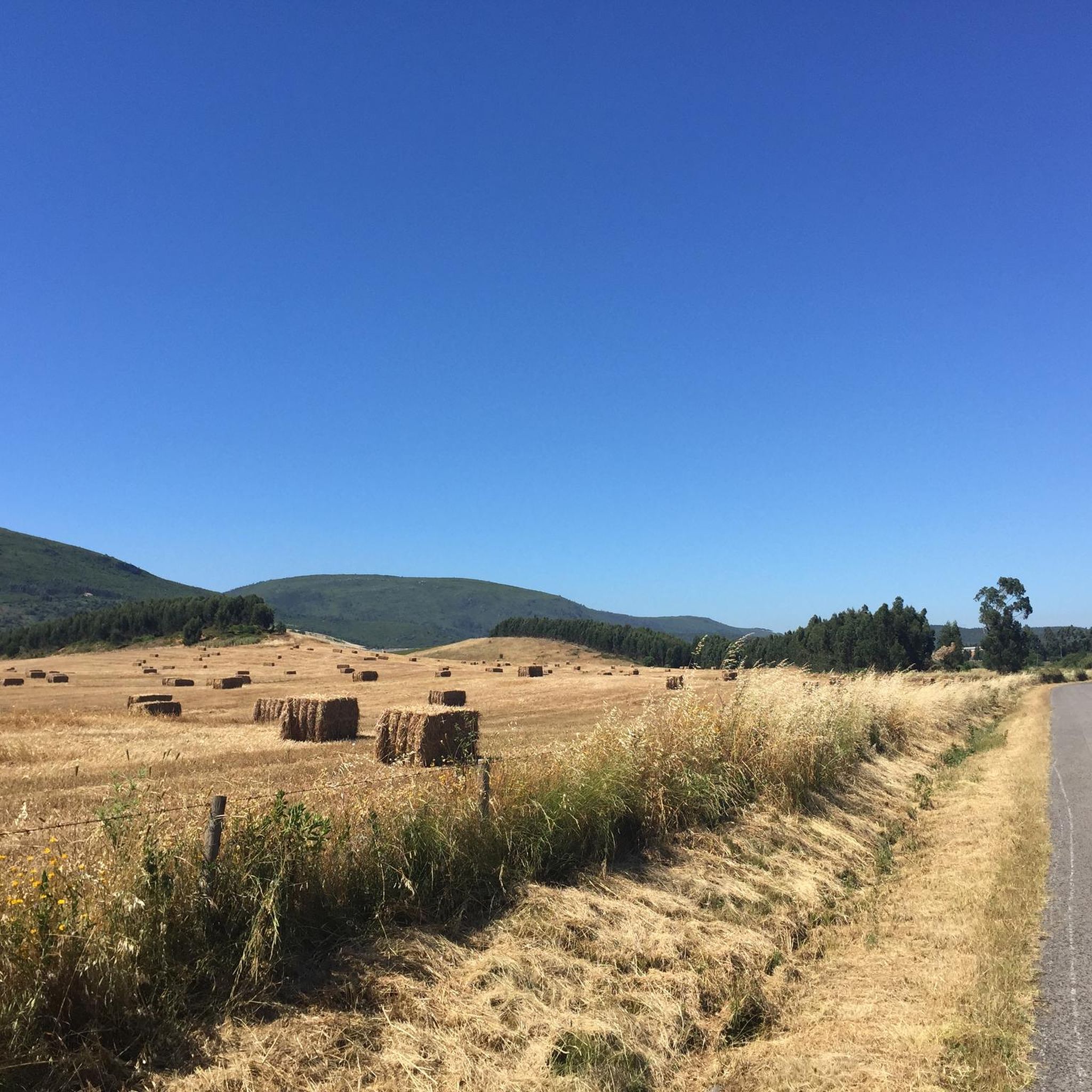
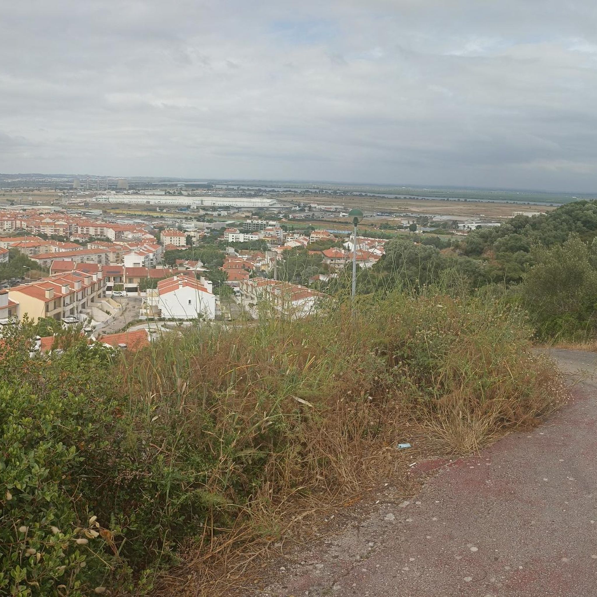
Point where you can observe the region in Serra de Ota. The route is also frequented by mountain bikers, and can be covered without any major difficulties on foot.
0
0
Frequently Asked Questions
What types of landscapes can I expect to see while hiking in Alenquer (Triana)?
Alenquer (Triana) offers a diverse range of landscapes, from the mountainous terrain of Serra de Montejunto with its panoramic views and granite formations, to tranquil woodlands, serene meadows, and vineyard vistas. You'll also find trails winding alongside streams and through karstic canyons.
Are there any easy hiking trails suitable for beginners or a relaxed walk?
Yes, there are several easy options. The Ota Karstic Canyon Trail is an easy 4.2-mile route offering views from Cabeço Pardal. Another gentle option is the Stone Mill loop from Cardosas, which is 3.4 miles long and takes you past historic windmills.
Where can I find challenging hikes in the Alenquer (Triana) region?
For more experienced hikers seeking rugged terrain and steep inclines, the Serra de Montejunto area is ideal. The Serra de Montejunto Loop is a difficult 11.1-mile path that traverses mountainous terrain, providing extensive panoramic views.
Are there any circular hiking routes available?
Yes, several routes in the region are circular. Examples include the easy Stone Mill loop from Cardosas, the difficult Serra de Montejunto Loop, and the moderate Chapel of Saint John the Baptist – Curve on the Hillside Trail loop from Cabanas de Torres.
What interesting landmarks or natural features can I see along the trails?
The region is rich in points of interest. You can encounter historic windmills, cascading waterfalls, and impressive granite formations. Notable attractions include the Constantino Palha Municipal Garden, the historic Marechal Carmona Bridge, and the scenic Ota River.
What do other hikers say about the trails in Alenquer (Triana)?
The hiking routes in Alenquer (Triana) are highly rated by the komoot community, with an average score of 4.5 stars from over 10 reviews. Hikers often praise the varied terrain, lush forests, granite formations, tranquil paths, and panoramic views.
Are there any trails that feature water elements like rivers or waterfalls?
Yes, some trails incorporate water features. The Caminho do Vale da Ribeira da Mata winds alongside tranquil streams, and the Circuito dos Moinhos de Penedos Altos route is known for its beautiful cascading waterfalls.
Can I find trails that offer views of vineyards?
Absolutely. For those interested in vineyard scenery, the Rota das Adegas e Vinhas trail, while more challenging, presents stunning views of the local vineyards, showcasing the region's agricultural beauty.
How many hiking routes are available in the Alenquer (Triana) area?
There are several hiking routes available in the Alenquer (Triana) area, catering to various skill levels. You can find a mix of easy, moderate, and difficult trails to explore.
Are there any trails that pass through historic areas or feature old structures?
Yes, the region has a rich history reflected in its trails. The Stone Mill loop from Cardosas, for instance, leads through areas with historic windmills. Additionally, the Path of the Carrier of Ss highlights the ingenuity of locals in navigating steep slopes, suggesting historical significance.
What is the longest hike available in Alenquer (Triana)?
The longest hike listed is the Serra de Montejunto Loop, which spans 11.1 miles (17.9 km) and is considered difficult due to its mountainous terrain and significant elevation changes.
Are there any trails suitable for a moderate level of fitness?
Yes, there are moderate trails for those looking for a bit more challenge than an easy walk but less than a difficult ascent. Examples include the Chapel of Saint John the Baptist – Curve on the Hillside Trail loop from Cabanas de Torres (3.7 miles) and the Meia Encosta Trail – Chapel of Saint John the Baptist loop from Cabanas de Torres (7.4 miles).
Most popular routes around Alenquer (Triana)
Most popular attractions around Alenquer (Triana)

Get inspired with the komoot mobile app


Explore more
Browse the best Hikes in other regions.
