The best road cycling routes around Vilar De Andorinho
4.4
(180)
7,054
riders
17
rides
Road cycling routes around Vilar De Andorinho, a parish within Vila Nova de Gaia, offer varied landscapes for cyclists. The region features rolling terrain with an average elevation of 145 meters, providing topographical variation and opportunities for elevation gains. Cyclists can explore areas along the iconic Douro River, which offers scenic views, and the Gaia Biological Park, preserving natural and rural landscapes. The proximity to the wider northern Portugal region also provides access to routes with significant elevation challenges.
Best…
Last updated: July 5, 2026
79
riders
Hard road ride. Very good fitness required. Mostly well-paved surfaces and easy to ride.
5.0
(1)
62
riders
133km
06:58
2,370m
2,380m
Hard road ride. Very good fitness required. Mostly well-paved surfaces and easy to ride.

Sign up for free
61
riders
103km
05:26
1,860m
1,860m
Hard road ride. Very good fitness required. Mostly well-paved surfaces and easy to ride.
50
riders
85.2km
04:02
960m
960m
Hard road ride. Very good fitness required. Some segments of this route may be unpaved and difficult to ride.
52
riders
96.4km
05:33
2,100m
2,100m
Hard road ride. Very good fitness required. Mostly well-paved surfaces and easy to ride.
Get access to more routes and recommendations from other explorers.
Sign up for free
Already have an account?
Our route recommendations are based on thousands of hikes, rides, and runs completed by other people on komoot.
Start today with a free account
Your next adventure awaits.
Login or Signup
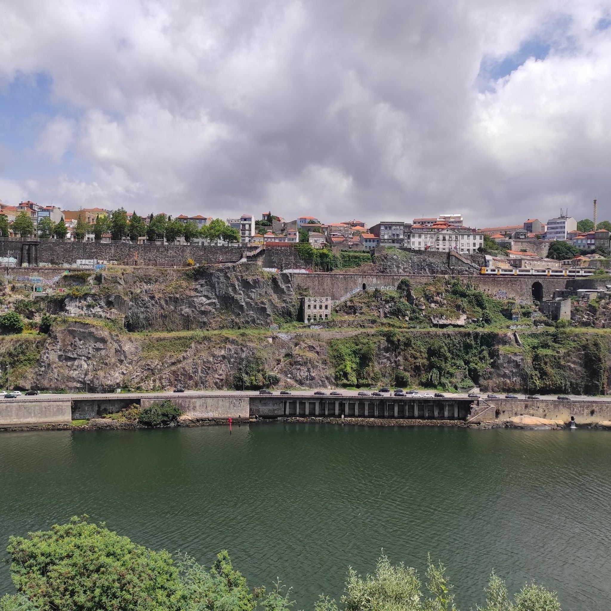

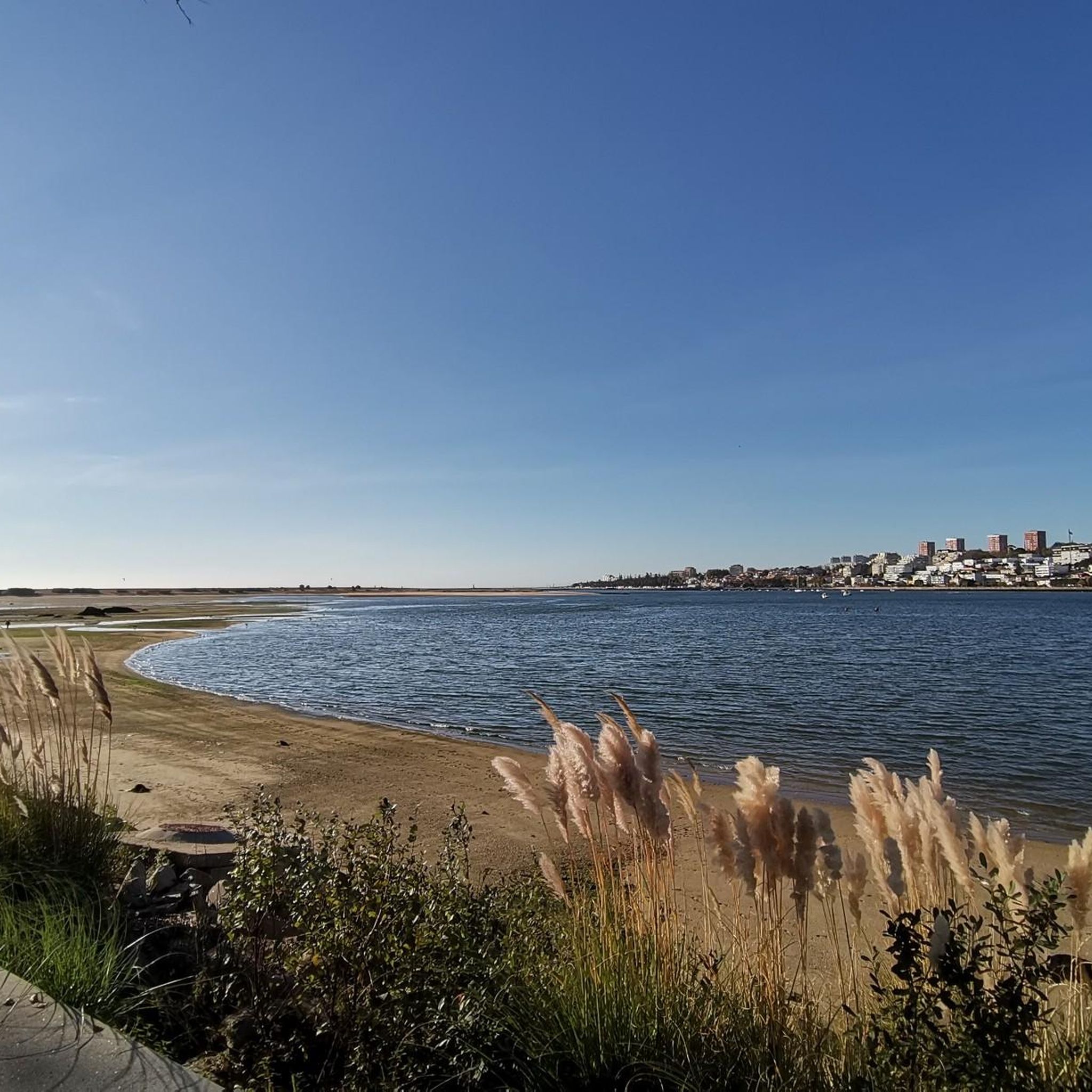
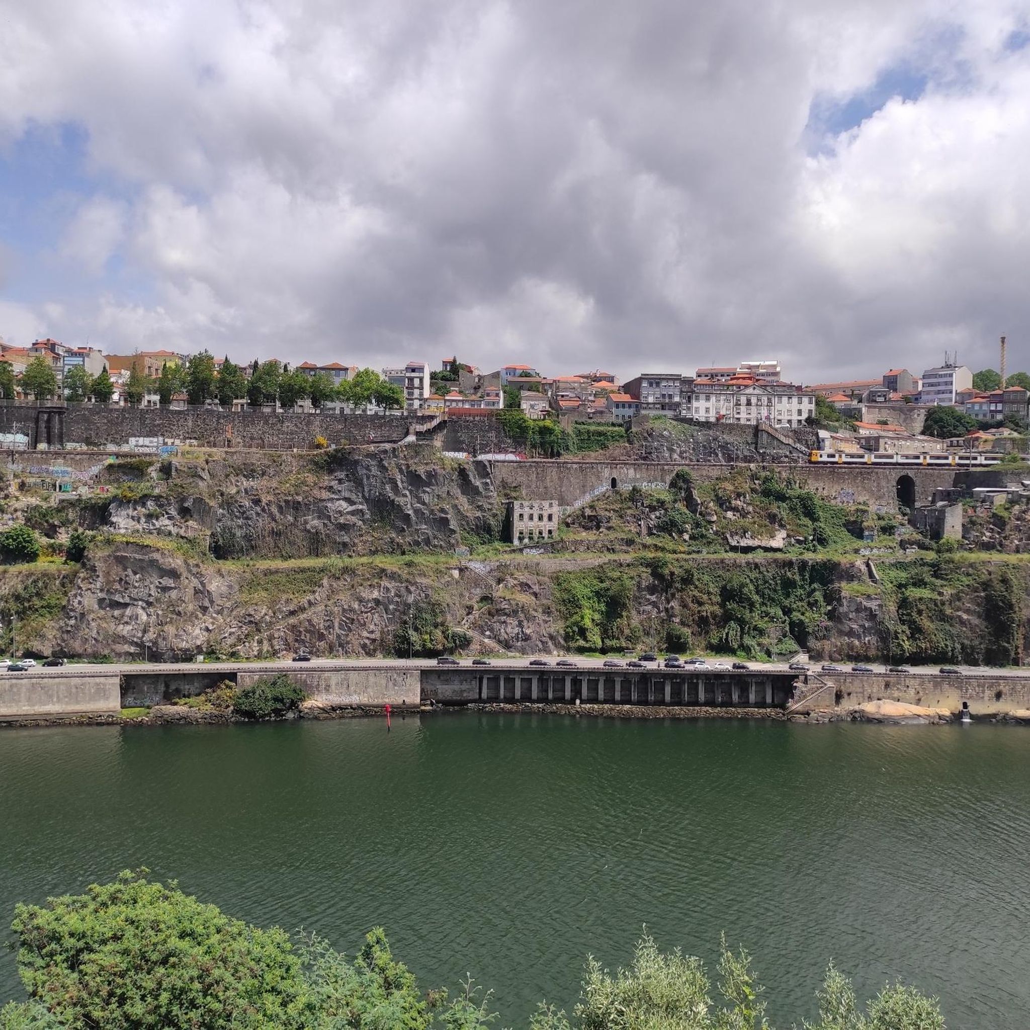
Tips from the Community

Cool view of a beautiful house
1
0

I recommend it very beautiful
1
0

Beautiful panoramic viewpoint with tables and a fountain.
0
0

Monument in Homage to the Victims of the Entre-os-Rios Tragedy.
0
0


That bridge is a real eye-catcher
19
0

The cycle path along the coast towards Porto is great. Unfortunately it ends at Duro and you cycle to Porto on a road without a cycle path. Watch out for the broken manhole covers. Danger of falling!
1
0

Choupal das Concas Beach, a charming river beach on the Douro River, is the perfect retreat on a hot summer day. With easy access by car, a café, playground and public toilets, it offers everything you need for a relaxing break. Here, you can take a dip in the waters of the Douro while looking out over the mouth of the Arda River, with the shade of the trees adding to the cosiness. It’s an ideal spot for a picnic, a refreshing dip or simply to refill your water bottle before heading on your journey.
2
0
Frequently Asked Questions
How many road cycling routes are available around Vilar de Andorinho?
There are 17 dedicated road cycling routes around Vilar de Andorinho, offering a variety of experiences for cyclists. While most are challenging, there are also 4 moderate routes available.
What kind of terrain can I expect on road cycling routes in Vilar de Andorinho?
The region features varied landscapes with rolling terrain and an average elevation of 145 meters, providing opportunities for significant elevation gains. You'll find routes along the iconic Douro River and through green spaces. Be aware that some village and town center roads may have cobbled sections, which can be challenging for road bikes.
What are some notable landmarks or natural features I can see while cycling?
Many routes offer stunning views of the Douro River. You can also cycle past significant landmarks such as the iconic Dom Luís I Bridge, and the historic Porto Cathedral. The Chapel of Senhor da Pedra (Chapel of the Lord of the Rock) is another beautiful highlight along some routes.
Are there any challenging routes for experienced road cyclists?
Yes, Vilar de Andorinho is well-suited for experienced cyclists seeking a challenge. 13 of the 17 routes are classified as difficult, featuring substantial climbing and significant elevation gains. For example, the Parish Church of Crestuma – Memorial de Alpendorada loop from Vila D'Este covers 82.5 miles (132.8 km) with over 2,300 meters of elevation gain.
What is the best time of year for road cycling in Vilar de Andorinho?
The region is popular for cycling, especially during July and August. Spring also offers mild temperatures and blooming landscapes, making it an excellent time for outdoor activities. Generally, the mild climate of northern Portugal makes it suitable for cycling for much of the year.
Are there any circular road cycling routes available?
Yes, many of the routes are designed as loops, allowing you to start and end in the same location. An example is the Chapel of Senhor da Pedra (Chapel of the Lord of the Rock) – Dom Luís I Bridge loop from Vila D'Este, a 62.4-mile (100.5 km) difficult trail.
What do other road cyclists enjoy most about cycling in Vilar de Andorinho?
The routes in Vilar de Andorinho are highly rated by the komoot community, with an average score of 4.5 stars from over 30 reviews. Cyclists often praise the diverse scenery, the challenging elevation profiles, and the opportunities to explore both natural landscapes and historic sites along the Douro River.
Can I find routes that offer a mix of natural beauty and urban exploration?
Absolutely. Routes often combine the rural charm of Vilar de Andorinho and its surroundings with access to urban centers. For instance, the Sousa River Mouth – Arrábida Pier loop from Vila D'Este offers a blend of riverside scenery and proximity to the city.
Are there any routes that follow the Douro River?
Yes, the Douro River is a significant natural feature in the region, and many road cycling routes are designed to offer breathtaking views and opportunities to ride along its banks. These routes often showcase the river's old streets, historic churches, and picturesque backdrops.
What is the longest road cycling route available from Vilar de Andorinho?
One of the longest routes is the Parish Church of Crestuma – Memorial de Alpendorada loop from Vila D'Este, which spans 82.5 miles (132.8 km) and offers substantial climbing and diverse scenery.
Are there any routes that pass through the Gaia Biological Park?
While specific road cycling routes may not go directly through the pedestrian-focused paths of the Gaia Biological Park, its proximity means that many routes will pass near this significant green space. The park itself preserves the region's natural and rural landscape, offering a tranquil backdrop to your ride.
What kind of elevation can I expect on the longer routes?
The longer routes around Vilar de Andorinho often feature significant elevation gains. For example, the Lavadouro - Fonte – Miradouro de Sebolido loop from Vila D'Este, a 63.8-mile (102.6 km) trail, includes over 1,800 meters of ascent, providing a substantial workout.
Most popular routes around Vilar De Andorinho
Most popular attractions around Vilar De Andorinho

Get inspired with the komoot mobile app


Explore more
Browse the best Road cycling routes in other regions.
