The best cycling routes around Louriceira
3.5
(2)
80
riders
25
rides
Touring cycling around Louriceira offers a diverse landscape characterized by the Aire and Candeeiros Mountains, providing varied elevation changes suitable for different skill levels. The region features a mix of open areas, forested sections, and routes that pass by natural springs and viewpoints. Many Louriceira loop bike trails traverse rural settings, connecting small villages and offering scenic vistas.
Best touring cycling routes around Louriceira
- The most popular touring cycling route is Charneca Circular Route — Aire and Candeeiros Mountains,…
Last updated: May 26, 2026
3
riders
46.0km
04:25
780m
770m
Hard bike ride. Very good fitness required. Mostly paved surfaces. Suitable for all skill levels.
13
riders
45.0km
03:46
600m
600m
Hard bike ride. Very good fitness required. Mostly paved surfaces. Suitable for all skill levels.

Sign up for free
4
riders
78.7km
05:06
1,020m
1,020m
Hard bike ride. Very good fitness required. Mostly paved surfaces. Suitable for all skill levels.
4
riders
39.4km
02:25
310m
310m
Moderate bike ride. Good fitness required. Mostly paved surfaces. Suitable for all skill levels.
2
riders
17.2km
01:09
210m
210m
Moderate bike ride. Good fitness required. Mostly paved surfaces. Suitable for all skill levels.
Get access to more routes and recommendations from other explorers.
Sign up for free
Already have an account?
Our route recommendations are based on thousands of hikes, rides, and runs completed by other people on komoot.
Start today with a free account
Your next adventure awaits.
Login or Signup

Tips from the Community

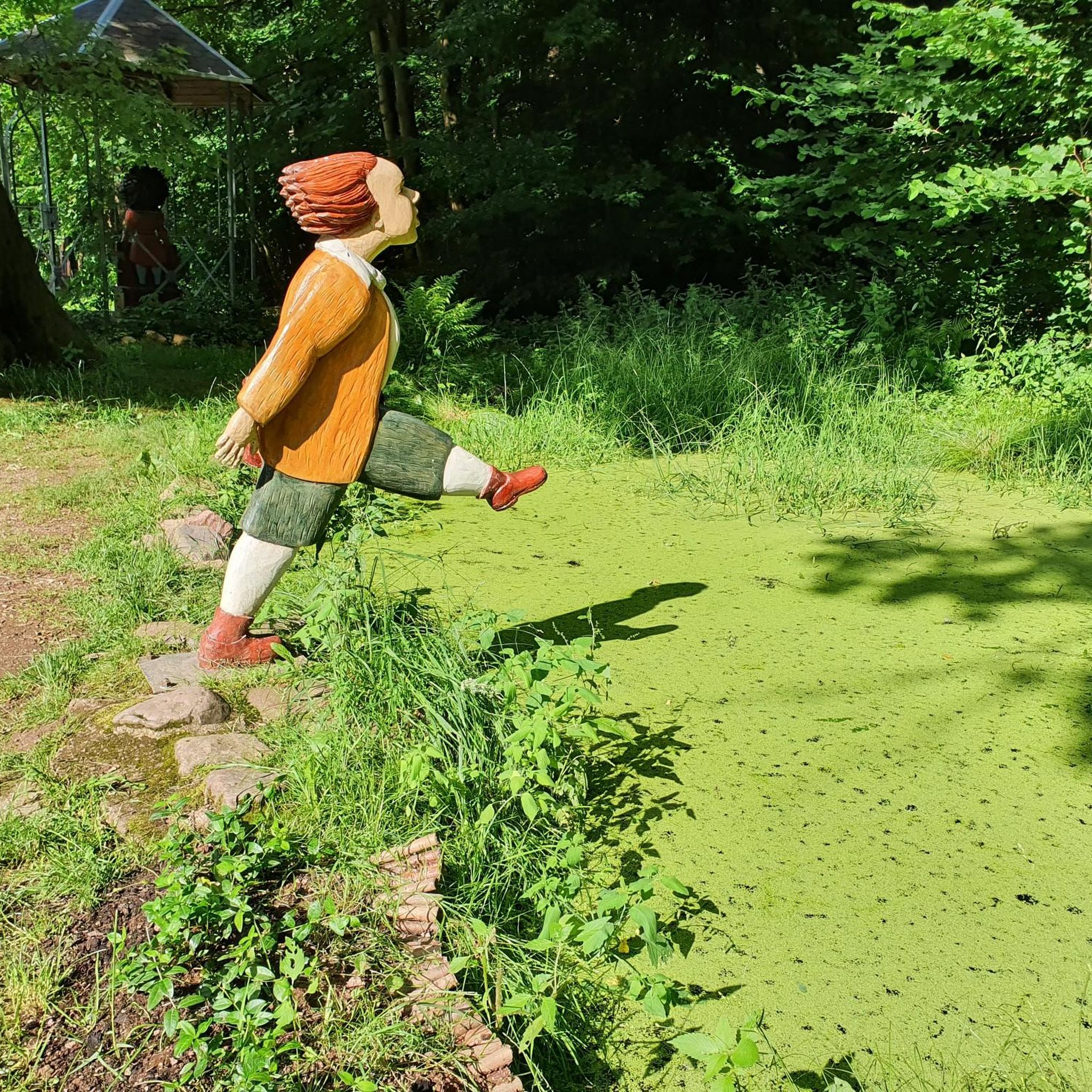
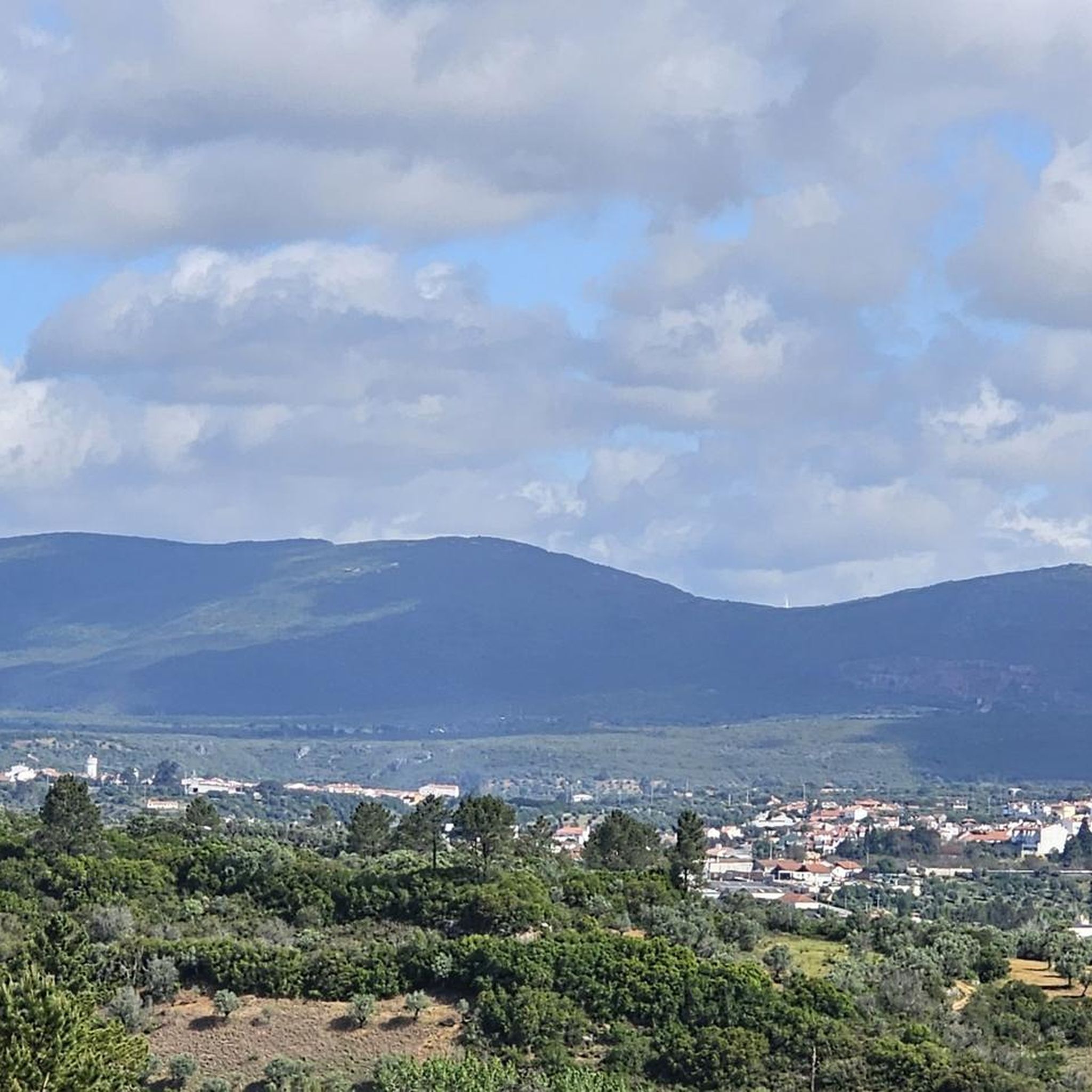
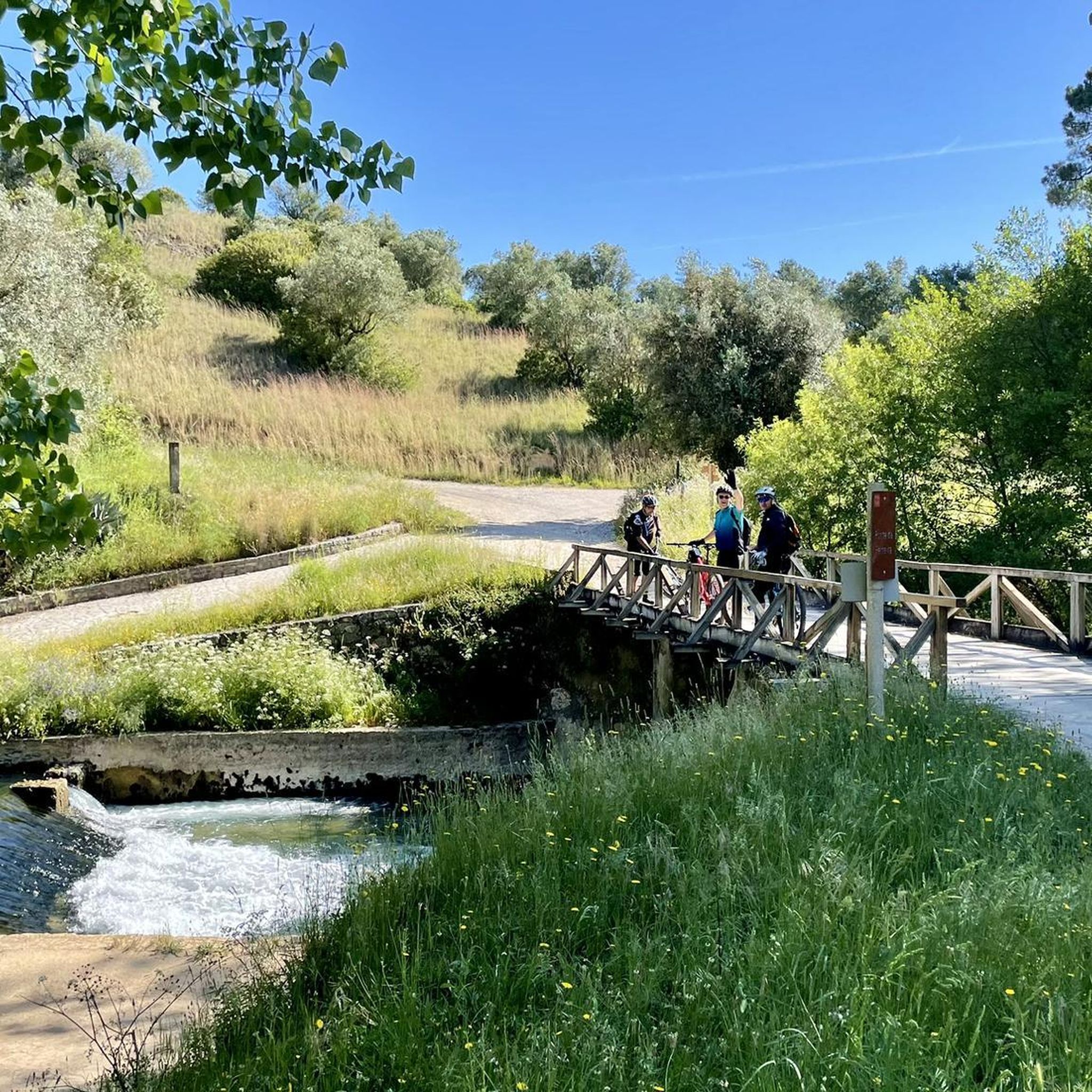
The region is ideal for nature tourism and outdoor activities: Cabeço de Santa Marta: An imposing natural viewpoint offering panoramic views and a central point for trekking and mountain biking routes. Trails and Routes: The parish is crossed by several routes, such as the Santa Marta Route (PR11 ACN), popular with hikers and mountain bikers. Climbing: There is a dedicated climbing area at Cabeço de Santa Marta. Heritage: Local history can be explored in the exhibition "From Saint Peter to Saint Martha," which celebrated the parish's 100th anniversary at the Alcanena Municipal Museum.
1
0
Moitas Venda is a Portuguese parish belonging to the municipality of Alcanena, in the district of Santarém. Situated between the Serra de Aire and the Serra dos Candeeiros mountain ranges, the town celebrated its centenary of elevation to parish status in 2025 (created on April 11, 1925).
1
0

Gorgeous views! The climb to Alqueidão da Serra is tough for beginners.
1
0

Five-star local accommodation for the friendliness, welcome, service and kindness of Katia who helped us during our stay. Mr. Luís, the owner, is a cyclist and despite being on vacation, was always available to give me tips on the routes to follow. I highly recommend it, and the cat "Pedal" is a little dear who only wants to be pampered.
0
0

Malhou owes its name to the rhythmic sound of hammers and the shine of forges: in times past, this parish was famous for the talent of its blacksmiths, masters in the art of shaping iron with skill and strength. It was this craft that marked the identity of the land and gave it its name.
1
0

Swing built next to Alcanede Castle. It stands out for its location and superb view towards the south.
3
0
Alcanede Castle is located in the parish of the same name, in the municipality and district of Santarém, Portugal. It is believed that the earliest human occupation of the site dates back to a prehistoric castrum, fortified at the time of the Roman occupation and later reinforced and expanded. At the time of the Christian Reconquest of the Iberian Peninsula it was taken by Count D. Henrique (1091) and later recovered by the Moors. Its definitive possession was obtained from the conquest by King D. Afonso Henriques (1112-1185), in the context of the conquests of Santarém and Lisbon. Its first mayor was D. Gonçalo Mendes de Sousa, chief butler of D. Afonso Henriques, who was responsible for rebuilding and expanding the walled enclosure and populating and organizing the town, before 1163. The 1531 earthquake shook its structure, marking the beginning of its decline. With no military function or strategic importance, there was no interest in repairing it, plunging it into abandonment and oblivion. At the beginning of the 1940s, it was subject to restoration work seeking to return it to its approximate form at the end of the Middle Ages, conserving it as a historical landmark in the region's landscape.
2
0
The Fonte do Peão, built in 1884, is one of the symbols of the parish of Monsanto. It is covered in tiles that depict rural life. The water in the Fonte do Peão comes from a spring and flows regularly throughout the year. According to information obtained from local residents, the water is good for human consumption and is used as a source of water for the many travellers who pass through there.
2
0
Frequently Asked Questions
What are the general difficulty levels for touring cycling routes around Louriceira?
The touring cycling routes around Louriceira offer a range of difficulties. You'll find 2 easy routes, 13 moderate routes, and 11 difficult routes. This variety ensures options for cyclists of different skill levels, from those seeking a relaxed ride to those looking for a challenging climb through the Aire and Candeeiros Mountains.
Are there any beginner-friendly touring cycling routes in Louriceira?
Yes, Louriceira offers a couple of easy touring cycling routes suitable for beginners or those looking for a more relaxed ride. These routes typically feature less elevation gain and smoother terrain, allowing for a pleasant introduction to the region's landscapes.
Which routes are recommended for experienced touring cyclists seeking a challenge?
Experienced touring cyclists looking for a challenge will find 11 difficult routes in the Louriceira area. Routes like the Charneca Circular Route — Aire and Candeeiros Mountains, with its significant elevation gain, or the Azoia de Cima Viewpoint loop from Arneiro das Milhariças, known for its panoramic views and challenging climbs, are excellent choices.
Are there many circular touring cycling routes available in Louriceira?
Many touring cycling routes in Louriceira are designed as loops, allowing you to start and end your ride in the same location. The region's network often traverses rural settings, connecting small villages and offering scenic vistas on these circular paths. For example, the Ribeira Branca Bridge loop from Zibreira is a popular circular option.
What is the best time of year to go touring cycling in Louriceira?
The region's climate, characterized by the Aire and Candeeiros Mountains, generally makes spring and autumn ideal for touring cycling. During these seasons, temperatures are milder, and the natural scenery is particularly vibrant. While specific weather conditions can vary, avoiding the peak heat of summer or the colder, potentially wetter days of winter often provides the most comfortable experience.
What kind of natural attractions or viewpoints can I expect to see along the routes?
The touring cycling routes around Louriceira often feature natural springs, forested sections, and panoramic viewpoints. You might encounter highlights such as the Peão Fountain - Monsanto, or enjoy expansive views like the View of the Polje de Minde. The region is also home to natural monuments and caves like Grutas de Mira de Aire, offering diverse sights.
Are there any family-friendly touring cycling options in the Louriceira area?
While specific 'family-friendly' routes are not explicitly categorized, the 2 easy routes available in Louriceira would be the most suitable starting point for families. These routes typically have less challenging terrain and elevation, making them more accessible for younger riders or those cycling with children. Always check the route details for distance and elevation to ensure it matches your family's capabilities.
Where can I find parking when visiting touring cycling routes in Louriceira?
Given the rural nature of many routes connecting small villages, parking is often available in or near these settlements. For routes starting from specific towns like Zibreira or Alcanena, you can usually find public parking areas. It's advisable to check the starting point of your chosen route on a map for specific parking suggestions.
What do other touring cyclists enjoy most about cycling in Louriceira?
The area is highly rated by the komoot community, with an average score of 3.5 stars from 2 reviews. Cyclists often praise the diverse landscape, which includes open areas and forested sections, as well as the varied elevation changes that cater to different skill levels. The scenic vistas and routes passing through rural settings and small villages are also frequently highlighted.
Are there any cafes or places to get refreshments along the touring cycling routes?
Many routes pass through or near small villages, which may offer local cafes or small shops where you can stop for refreshments. For example, the route Moitas Venda – Peão Fountain - Monsanto loop from Alcanena passes by the settlement of Moitas Venda, where you might find amenities. It's always a good idea to carry sufficient water and snacks, especially on longer rides.
How long do the touring cycling routes in Louriceira typically take to complete?
The duration of touring cycling routes in Louriceira varies significantly based on distance and difficulty. For instance, the Charneca Circular Route, at 28.6 miles (46.0 km) with significant elevation, takes approximately 4 hours 25 minutes. A moderate route like the Peão Fountain - Monsanto – Campsite in Olive Grove loop from Zibreira, covering 27.7 miles (27.7 km), might take around 2 hours 11 minutes.
Most popular attractions around Louriceira

Get inspired with the komoot mobile app


Explore more
Browse the best Cycling routes in other regions.
