The best walks and hikes around Louriceira
4.6
(92)
336
hikers
17
hikes
Hiking around Louriceira Portugal offers access to the Serras de Aire e Candeeiros Natural Park, a region characterized by distinctive chalk and karst formations. The landscape features rugged topography with mountain ranges and plateaus, providing varied terrain for exploration. The area also includes the Praia Fluvial dos Olhos d'Água river beach, fed by springs originating from an extensive underground network. This geological diversity creates a compelling environment for outdoor activities.
Best hiking trails around Louriceira
- The most popular hiking route…
Last updated: May 11, 2026
4.3
(6)
15
hikers
11.1km
03:08
240m
240m
Moderate hike. Good fitness required. Easily-accessible paths. Suitable for all skill levels.
5.0
(3)
7
hikers
10.2km
02:44
110m
110m
Moderate hike. Good fitness required. Easily-accessible paths. Suitable for all skill levels.

Sign up for free
4.8
(5)
15
hikers
10.2km
02:54
250m
240m
Moderate hike. Good fitness required. Easily-accessible paths. Suitable for all skill levels.
4.8
(4)
16
hikers
6.89km
01:45
20m
20m
Easy hike. Great for any fitness level. Easily-accessible paths. Suitable for all skill levels.
4.0
(1)
5
hikers
8.02km
02:02
20m
20m
Moderate hike. Good fitness required. Easily-accessible paths. Suitable for all skill levels.
Get access to more routes and recommendations from other explorers.
Sign up for free
Already have an account?
Our route recommendations are based on thousands of hikes, rides, and runs completed by other people on komoot.
Start today with a free account
Your next adventure awaits.
Login or Signup

Tips from the Community

The Silvas Mill is one of many that dot these fields, recalling times when the wind moved everyday life. The view is stunning, even more so on sunny days, when the landscape lights up.
2
0
Malhou owes its name to the rhythmic sound of hammers and the shine of forges: in times past, this parish was famous for the talent of its blacksmiths, masters in the art of shaping iron with skill and strength. It was this craft that marked the identity of the land and gave it its name.
1
0
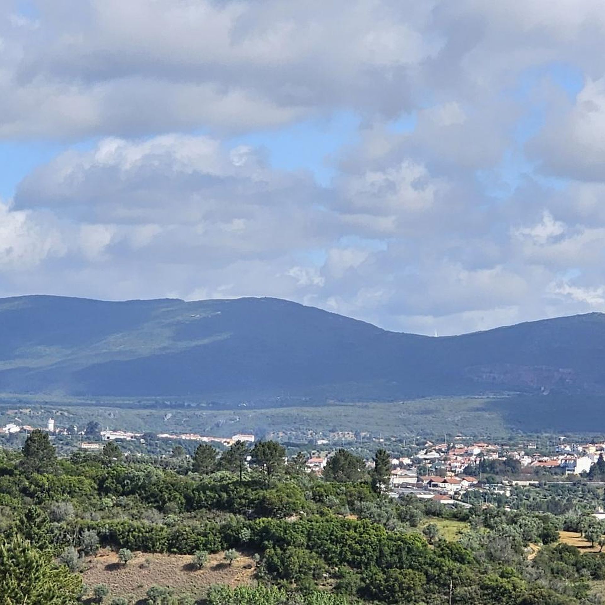
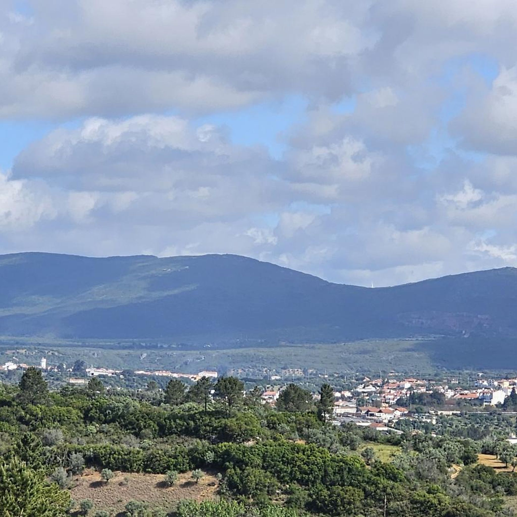
From the top of Cabeça Gorda, the view is breathtaking. The green mantle of the mountains stretches endlessly, undulating until it blends into the horizon. During rainy seasons, small lakes appear in Mira de Aire, reflecting the sky and adding brightness to the landscape.
1
0
From the top of the mountain, a breathtaking natural landscape opens up before you: the Polje de Minde, also known as the Minde Sea, stretches out in shades of green and water, a rare wetland nestled between hills. In the background, the São Mamede plateau and the undulating silhouette of the Serra d’Aire stand out.
1
0
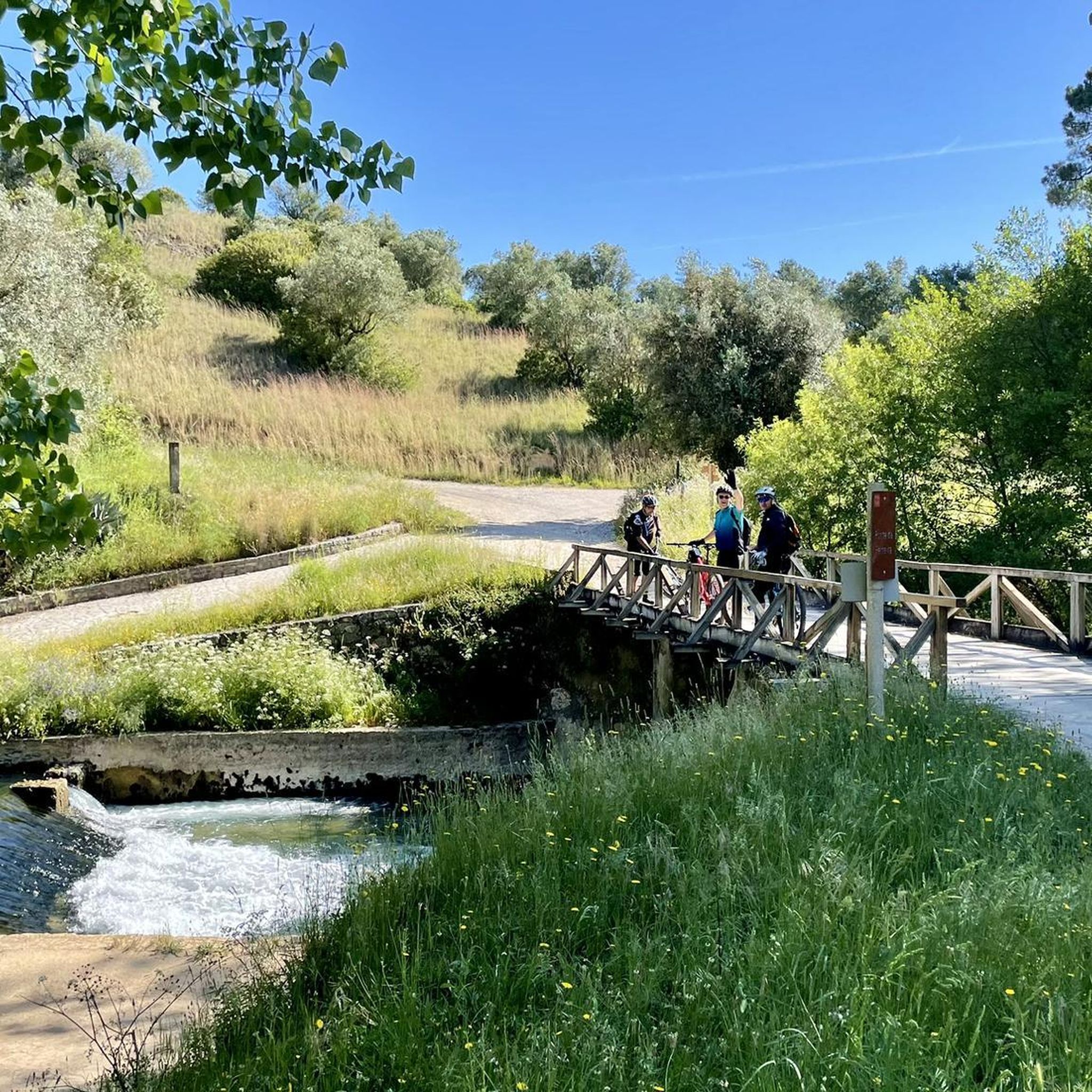
The Silvas Mill is one of many that dot these fields, recalling times when the wind moved everyday life. The view is stunning, even more so on sunny days, when the landscape lights up. The dirt road invites you to run without rushing or worrying, just look up and enjoy the scenery.
2
0


It was more by chance that we came across the hiking trail PR3. A very nice tour with many natural spectacles. However, we started from the parking space in Sao Bento and then followed the signs in the direction of Sao Bento. At the intersection of Costa de Alvados, we decided to stay up there on the heights. The PR3 path described starts in Alvados and ends there. However, since it is an estimated 150 meters down to Alvados and then up again, we stayed up. The view from up here is fantastic.
2
0
Frequently Asked Questions
How many hiking trails are available around Louriceira?
There are 17 hiking routes in the Louriceira area, offering a diverse range of experiences. These include 2 easy trails, 13 moderate trails, and 2 more challenging routes, ensuring options for various fitness levels.
What kind of terrain can I expect on hikes in Louriceira?
Hiking in Louriceira primarily takes you through the Serras de Aire e Candeeiros Natural Park, characterized by its distinctive chalk and karst (limestone) formations. You'll encounter rugged topography, mountain ranges, plateaus, and riverine landscapes, providing varied and interesting terrain.
Are there easy hiking options for beginners or casual walkers?
Yes, Louriceira offers 2 easy hiking trails suitable for beginners or those looking for a more relaxed walk. One such option is the Hiking loop from Minde, which is 6.9 km long and has minimal elevation gain.
What natural landmarks or points of interest can I discover while hiking near Louriceira?
The region is rich in natural landmarks. You can explore the extensive cave systems, such as the famous Grutas de Mira de Aire or Algar da Cerejeira. The Peão Fountain - Monsanto is another notable natural monument, and the View of the Polje de Minde offers panoramic vistas.
Are there any river beaches or water features along the hiking routes?
Yes, the Praia Fluvial dos Olhos d'Água, a river beach in Louriceira, is a significant water feature. It's fed by the Olhos d'Água spring, which originates from a complex underground network of caves. While not directly on every trail, its presence highlights the region's unique hydrology and offers a place to relax by the water.
Are there any circular hiking routes in Louriceira?
Yes, several routes in the area are circular. A popular choice is the Rota dos Ferreiros (PR 4) — circular route, a moderate 10.2 km path that offers varied scenery within the natural park.
Are the hiking trails around Louriceira suitable for families with children?
Many of the trails, particularly the easy and some moderate options, can be suitable for families. The varied terrain and natural attractions like the river beach or viewpoints offer engaging experiences for children. Always check the specific route's distance and elevation to ensure it matches your family's capabilities.
Can I bring my dog on the hiking trails in Louriceira?
Generally, dogs are permitted on hiking trails within the Serras de Aire e Candeeiros Natural Park, but it's always advisable to keep them on a leash, especially to protect local wildlife and ensure their safety around karst formations. Always check specific park regulations or trail signage for any restrictions.
What is the best time of year to go hiking in Louriceira?
The spring and autumn months typically offer the most pleasant hiking conditions in Louriceira, with milder temperatures and beautiful natural scenery. Summers can be hot, so early morning or late afternoon hikes are recommended, while winters are generally mild but can be wet.
What do other hikers say about the trails in Louriceira?
The hiking routes in Louriceira are highly rated by the komoot community, with an average score of 4.6 stars from over 90 reviews. Hikers often praise the distinctive karst landscapes, the well-maintained paths, and the opportunities to discover unique natural features like the underground cave systems and springs.
Is there parking available near the trailheads in Louriceira?
While specific parking details vary by trailhead, many popular starting points for trails within the Serras de Aire e Candeeiros Natural Park, including those near Louriceira, typically offer designated parking areas. It's recommended to check the route details on komoot for specific parking information before you go.
Are there any longer, more challenging hikes for experienced hikers?
Yes, for experienced hikers looking for a challenge, there are 2 difficult routes in the area. The Hiking loop from São Bento is a good option, covering 13.7 km with significant elevation changes, offering a more strenuous experience.
Most popular attractions around Louriceira

Get inspired with the komoot mobile app


Explore more
Browse the best Hikes in other regions.
