Tragöß-Sankt Katharein
Tragöß-Sankt Katharein
The 20 Most Amazing Peaks around Tragöß-Sankt Katharein
Best mountain peaks around Tragöß-Sankt Katharein are situated within the Hochschwab massif in Styria, Austria. This region features limestone mountains, dense forests, and alpine meadows, offering diverse landscapes for outdoor activities. The area is also known for its proximity to natural landmarks like the Grüner See. These peaks provide varied experiences, from challenging ascents to scenic hikes with extensive views.
Best mountain peaks around Tragöß-Sankt Katharein
- The most popular mountain peaks is Eisenerzer Reichenstein summit, a summit that is…
Last updated: September 27, 2026
Eisenerzer Reichenstein summit
Highlight • Summit
Translated by Google •
Tip by

Hochschwab Summit
Highlight • Summit
Translated by Google •
Tip by

Sign up now to discover places like this
Get recommendations on the best single tracks, peaks, & plenty of other exciting outdoor places.
Mugel Summit
Highlight • Summit
Translated by Google •
Tip by

Hochanger Summit Cross
Highlight • Summit
Translated by Google •
Tip by

Hochturm Summit
Highlight • Summit
Translated by Google •
Tip by
Sign up for free to discover even more peaks around Tragöß-Sankt Katharein.
Already have an account?
Start today with a free account
Your next adventure awaits.
Popular around Tragöß-Sankt Katharein

North Alpine Trail 01 – Hike across Austria in 49 days

North-South Trail through Austria – Small country, big paths!
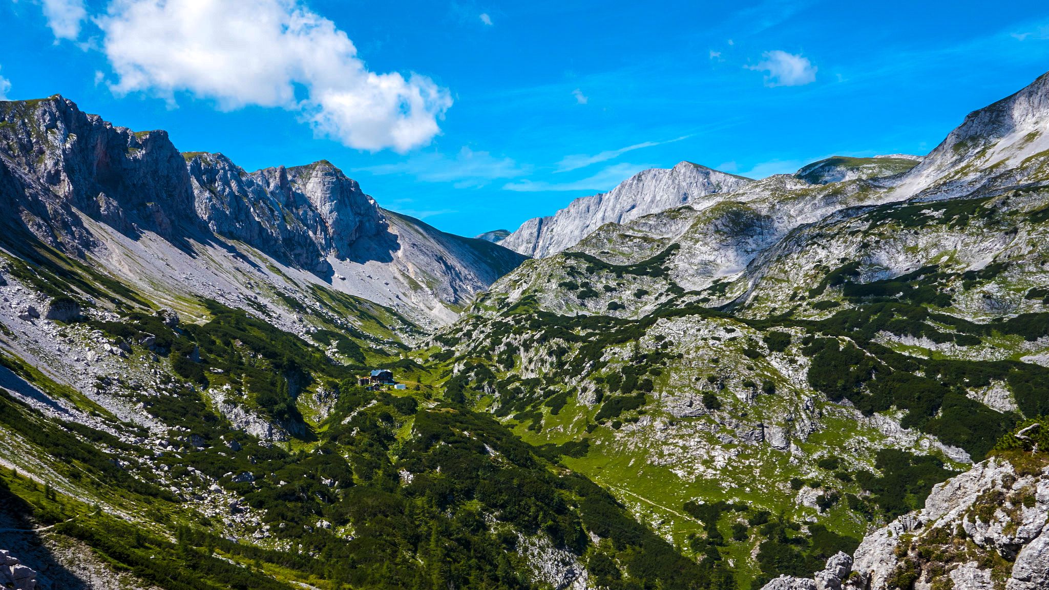
The BergZeitReise – a beautiful long-distance hiking trail across Styria
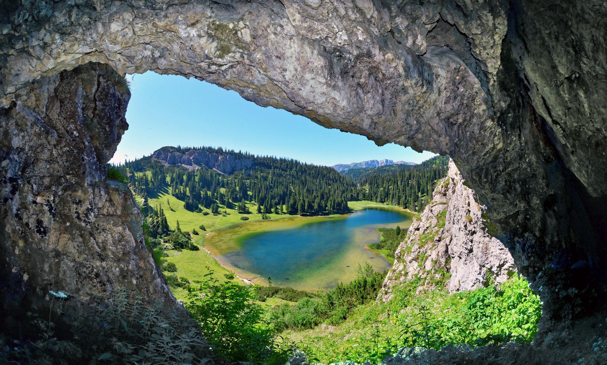
BergZeitReise – from glacier to wine in high Styria
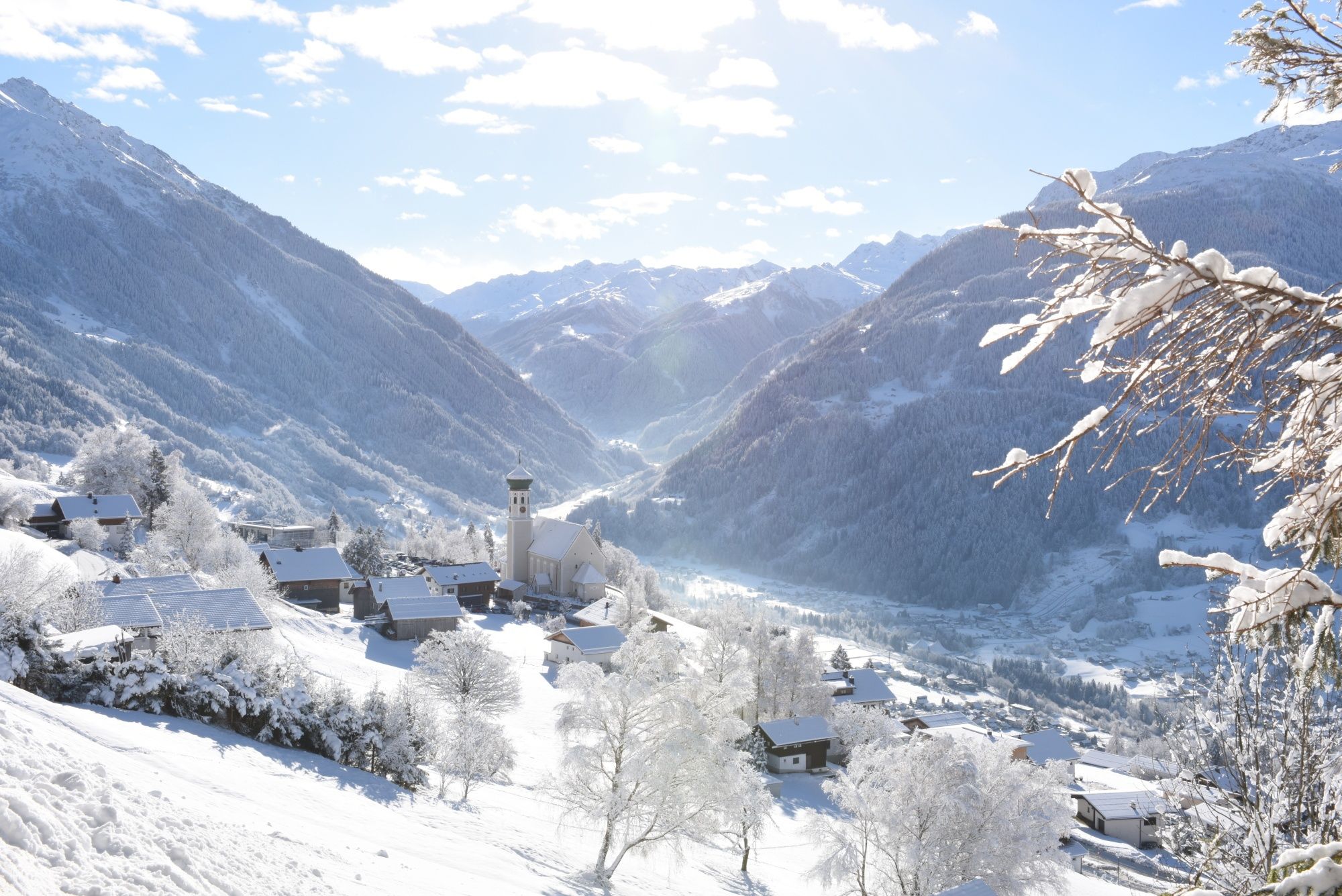
Tobogganing, ice bathing and hiking – winter away from the slopes

Discover Styria in Austria on foot – ‘From Glacier to Wine’ North Route
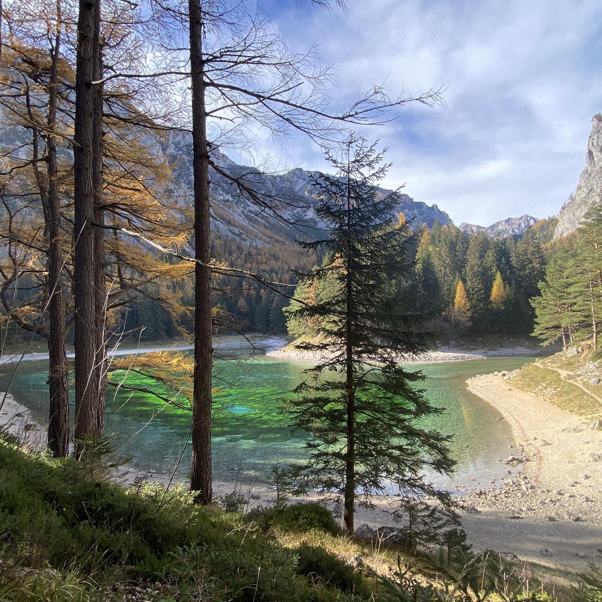
Hiking around Tragöß-Sankt Katharein
Cycling around Tragöß-Sankt Katharein
Road Cycling Routes around Tragöß-Sankt Katharein
MTB Trails around Tragöß-Sankt Katharein
Other adventures around Tragöß-Sankt Katharein


Tips from the Community

Super great summit, best in May and September. Ascent strenuous but doable.
0
0

very beautiful viewpoint and a magnificent tour in summer and winter
0
0

Super great view, a little in front of the possibility to stop at the nature friends
3
0

There are a variety of options for reaching the refuge. Routes vary from 2 to 5 hours.
0
0

A dreamlike view after a strenuous hike
0
0

On the trail section to the left of the hut, towards the transmitter, there is now a driving ban, but you don't really miss much...........
0
0
wonderful view summit, but totally crowded!
0
1

The incredible view is the true reward for the climb. If the visibility is good, you can see the Zirbitzkogel (border with Carinthia). Ötscher, Hochkar, Großer Priel, Hochtor, Eisenerzer Reichenstein and many more show themselves from their best side.
1
0
Frequently Asked Questions
What are some of the most popular mountain peaks to hike in Tragöß-Sankt Katharein?
The region offers a variety of popular peaks. The Eisenerzer Reichenstein summit is highly regarded for its panoramic views of the Ennstal Alps. Another challenging and popular destination is the Hochschwab Summit, the highest mountain in the Hochschwab Group. For a rewarding ascent with a great view towards Rennfeld, consider the Hochanger Summit Cross. The Hochturm Summit, the highest point of the Trenchtling massif, also offers superb panoramic views.
Are there any easy or family-friendly mountain hikes in the Tragöß-Sankt Katharein region?
While many peaks offer challenging ascents, the region also has options for easier walks. The Pribitz (1,579 m) offers scenic hiking opportunities with routes from the Grüner See parking area, leading to a summit plateau with picturesque views into the Tragößertal valley and towards the Grüner See. These trails are generally less strenuous than the high-alpine routes.
What natural features can I expect to see when hiking the mountain peaks in Tragöß-Sankt Katharein?
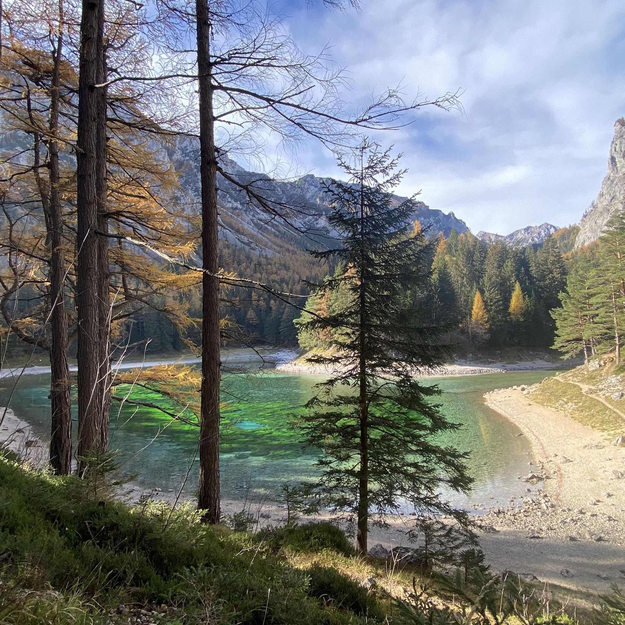
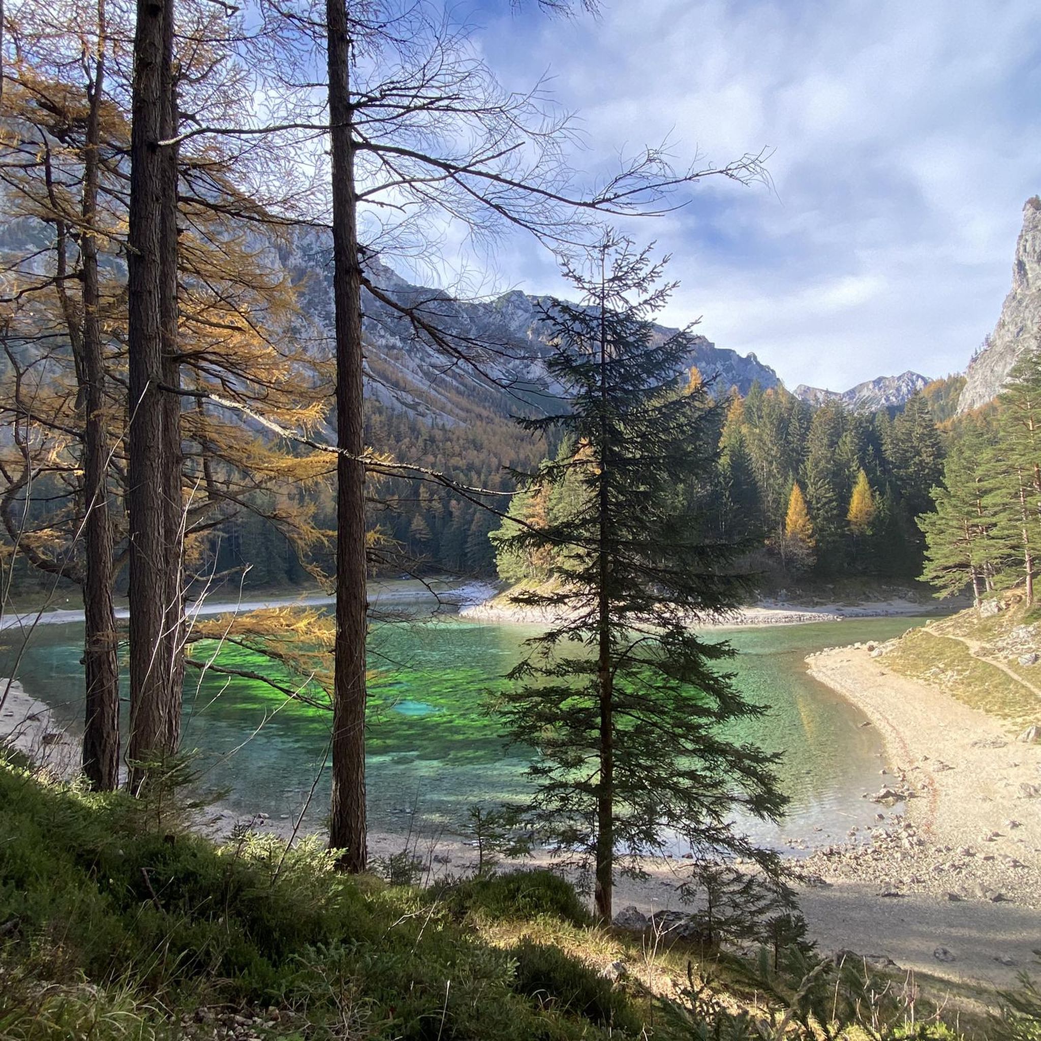
The mountain peaks in Tragöß-Sankt Katharein are part of the Hochschwab massif, characterized by stunning limestone formations, dense forests, and expansive alpine meadows. A prominent natural landmark is the Grüner See (Green Lake), famous for its emerald-green waters, which can often be seen from higher elevations like the Messnerin or Pribitz, enhancing the scenic beauty of your hike.
What is the best time of year to hike the mountain peaks in Tragöß-Sankt Katharein?
The best season for hiking the mountain peaks in Tragöß-Sankt Katharein is typically summer, when the weather is mild and nature is in full bloom. Autumn also offers a spectacular display of colors, making it another excellent time to visit. Some trails may be accessible in late spring or early autumn, but always check conditions, especially for higher elevations.
Are there challenging mountain peaks for experienced hikers in the region?
Yes, the region offers several challenging peaks for experienced hikers. Ebenstein (2,123 m) is one of the highest peaks in the Hochschwabgruppe within the municipal area, demanding physical and technical skill. The TAC-Spitze (2,019 m) features a short, moderately difficult via ferrata on its final ascent, providing an exciting mountaineering experience. Griesmauerkogel (2,034 m) also offers strenuous routes, often combined with other high-altitude summits.
What kind of wildlife might I encounter in the mountains around Tragöß-Sankt Katharein?
The Hochschwab region, including the mountains around Tragöß-Sankt Katharein, is known for its diverse alpine flora and fauna. Hikers might spot chamois, ibex, and various bird species. The area around the Trenchtling, for example, is a nature reserve known for protected alpine flora, including the symbolic Edelweiss, which blooms in summer.
Can I find circular hiking routes around the mountain peaks in Tragöß-Sankt Katharein?
Yes, there are several rewarding circular hiking routes. For instance, the "View of Grüner See – Messnerin Summit loop" is a challenging 12 km trail that offers spectacular views. A circular hike over the Hochturm also provides impressive vistas deep into Styria's green valleys. Ebenstein offers a challenging but scenically magnificent circular route in the southeastern Hochschwab.
What other outdoor activities can I do near the mountain peaks in Tragöß-Sankt Katharein?
Beyond peak bagging, the region offers a variety of outdoor activities. You can explore numerous hiking trails, including routes like the "View of Grüner See – Messnerin Summit loop." For runners, there are dedicated running trails such as the "Messnerin – Windscharte loop." Road cycling enthusiasts can find scenic routes, including the "Rudolfsbahn Cycle Path – Mur Upper Water Canal loop."
Are there any less-frequented or 'hidden gem' mountain peaks in the area?
For those seeking more solitude, Brandstein (2,003 m) is often referred to as "the great lonely mountain in the western part of the Hochschwabgruppe." Its trails are generally not difficult but can be quite long, offering a more secluded hiking experience with unique geological features.
What makes the Messnerin (1,835 m) a popular hiking destination?
The Messnerin is popular for its rewarding, moderately difficult ascents and breathtaking views. Hikers can enjoy continuous, steep, and well-marked trails, primarily through forests. The summit provides a magnificent 360-degree panorama of the Styrian mountain landscape, including spectacular views of the Grüner See below. A unique feature is the "Messnerin-Loch," a circular hole in the rock face visible through a telescope at a viewpoint.
Are there any mountain huts or places to eat near the hiking trails?
Yes, some peaks and trails have mountain huts or shelters. For example, the Mugel Summit has the Mugel-Schutzhaus right next to the summit cross, offering culinary enjoyment. The Eisenerzer Reichenstein summit is near the Reichenstein Hütte. For the Hochanger Summit Cross, a stop at the shelter is recommended after the ascent.
Can I bring my dog on the hiking trails in Tragöß-Sankt Katharein?
Many hiking trails in the Hochschwab region are dog-friendly, but it's always advisable to check specific trail regulations and local signage, especially in nature reserve areas. Ensure your dog is on a leash where required and that you carry enough water for both of you, particularly on longer or more exposed routes.
Most popular routes around Tragöß-Sankt Katharein
Most popular attractions around Tragöß-Sankt Katharein

Get inspired with the komoot mobile app


Explore more
See even more amazing summits around Tragöß-Sankt Katharein with these guides:
