The best hikes from bus stations around Tragöß-Sankt Katharein
4.6
(3868)
32,755
hikers
52
hikes
Bus station hiking trails around Tragöß-Sankt Katharein are situated within the Hochschwab region of Styria, Austria. The landscape features dramatic limestone mountains, serene alpine meadows, and dense forests. Elevations in the area can reach over 2,200 meters, providing varied terrain for hiking. The region is also known for its unique natural attractions, including the Grüner See and Leopoldsteiner See.
Best bus station hiking trails around Tragöß-Sankt Katharein
- The most popular bus station hiking route is View of Grüner See –…
Last updated: June 27, 2026
4.7
(35)
349
hikers
12.0km
06:01
1,080m
1,080m
Hard hike. Very good fitness required. Mostly accessible paths. Sure-footedness required.
4.8
(23)
183
hikers
19.5km
06:49
900m
900m
Hard hike. Very good fitness required. Mostly accessible paths. Sure-footedness required.

Sign up for free
4.6
(31)
209
hikers
10.7km
03:04
240m
240m
Moderate hike. Good fitness required. Mostly accessible paths. Sure-footedness required.
4.7
(6)
63
hikers
16.2km
06:47
930m
930m
Hard hike. Very good fitness required. Sure-footedness, sturdy shoes and alpine experience required.
4.7
(11)
114
hikers
7.31km
02:01
120m
120m
Moderate hike. Good fitness required. Easily-accessible paths. Suitable for all skill levels.
Get access to more routes and recommendations from other explorers.
Sign up for free
Already have an account?
Our route recommendations are based on thousands of hikes, rides, and runs completed by other people on komoot.
Start today with a free account
Your next adventure awaits.
Login or Signup
Popular around Tragöß-Sankt Katharein

North Alpine Trail 01 – Hike across Austria in 49 days

North-South Trail through Austria – Small country, big paths!
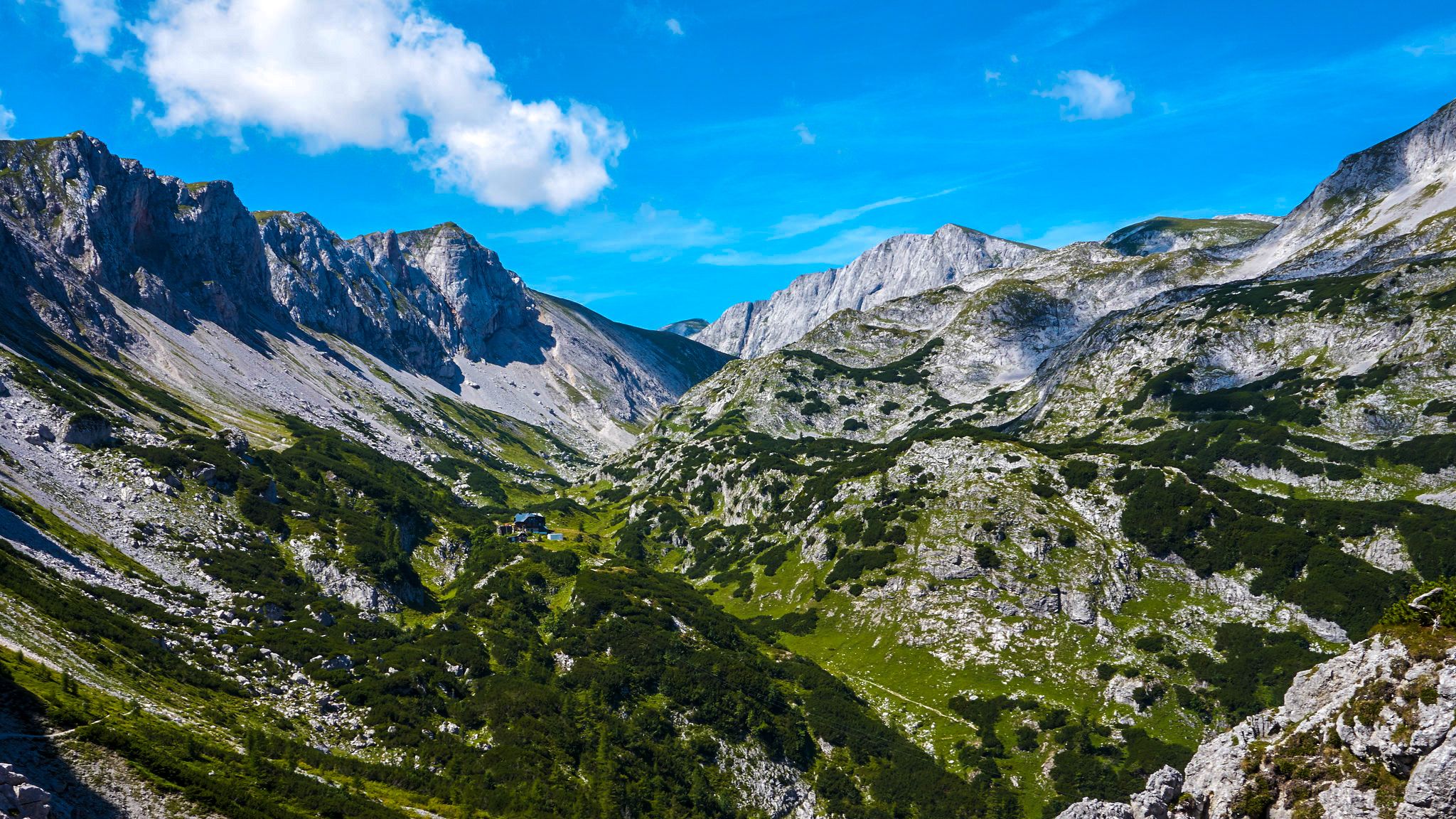
The BergZeitReise – a beautiful long-distance hiking trail across Styria
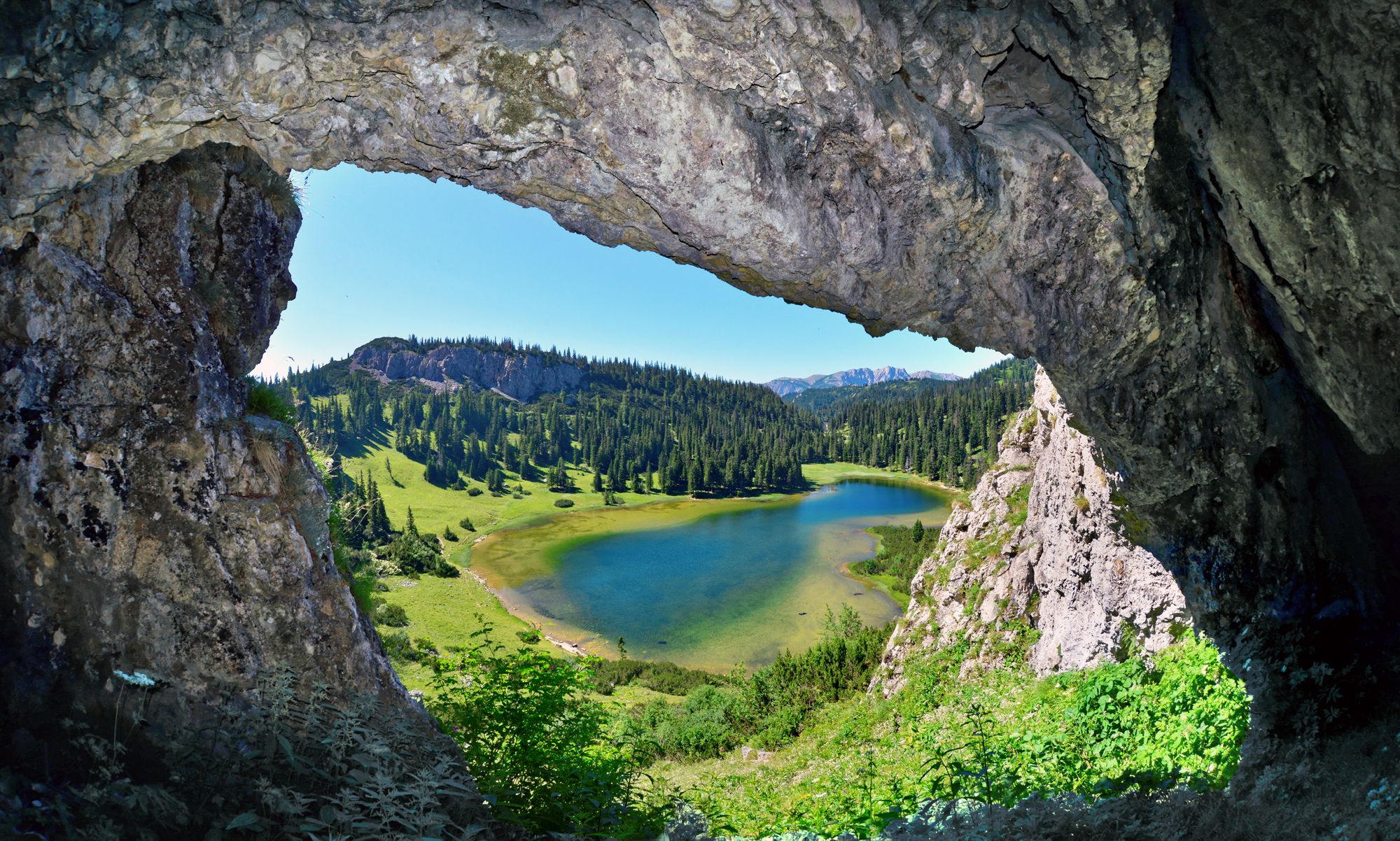
BergZeitReise – from glacier to wine in high Styria
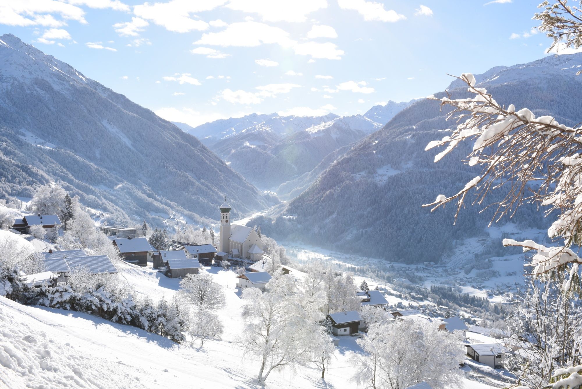
Tobogganing, ice bathing and hiking – winter away from the slopes

Discover Styria in Austria on foot – ‘From Glacier to Wine’ North Route
Other adventures around Tragöß-Sankt Katharein


Tips from the Community

Good food at normal prices - a nice place with friendly service
0
0

Parking lot requires payment, from there it is not far to the lake
3
0
Beautiful small pond with clear water
3
0

On each of my 4 visits so far, the Green Lake shows a different side. From intensely green to shimmering in various colors and almost dried up - tone in tone with the surrounding mountains. Always good for a surprise.
0
0
The roast pork with dumplings and coleslaw was a delicious way to refuel after the hike through the snow. Unfortunately, I was too hungry to take a picture. But I managed to get one while enjoying the chocolate-covered marshmallow treat and mulled wine. 😀 Everything was homemade – hearty, good Austrian cuisine in a cozy mountain hut atmosphere – just as you'd want it.
0
0

Every walk around the Green Lake includes a short detour to the Emma Spring, which feeds the lake in spring when the snow melts.
0
0
Parking is subject to a fee (card payment accepted).
0
0
Frequently Asked Questions
How many bus-accessible hiking trails are there in Tragöß-Sankt Katharein?
There are over 50 bus-accessible hiking trails around Tragöß-Sankt Katharein, offering a wide range of options for all skill levels, from easy walks to challenging mountain ascents.
What kind of landscapes can I expect on these bus-accessible hikes?
The bus-accessible hikes in Tragöß-Sankt Katharein traverse diverse landscapes, from the unique, seasonal Grüner See with its emerald waters to the majestic Hochschwab massif featuring dramatic limestone mountains, serene alpine meadows, and dense forests. You'll encounter idyllic mountain lakes and captivating natural features.
Are there any easy, family-friendly routes accessible by bus?
Yes, there are several easy routes perfect for families. A great option is the Green Lake – Peninsula of Grüner See loop, which offers a moderate 7.3 km walk with minimal elevation gain, allowing you to enjoy the stunning scenery around the famous Green Lake.
What are the best times of year to hike in Tragöß-Sankt Katharein using public transport?
The best seasons for hiking are summer, when the weather is mild and nature is in full bloom, and autumn, when the forests transform into a vibrant spectacle of colors. During spring, the Grüner See is at its fullest due to snowmelt, offering a unique sight. In winter, some areas around the lake are suitable for cross-country skiing when the lake is dry.
Are there any challenging bus-accessible hikes for experienced trekkers?
Absolutely. For experienced hikers, the View of Grüner See – Messnerin Summit loop is a demanding route. This difficult 12 km trail includes over 1000 meters of elevation gain, leading to the Messnerin peak with rewarding views of the region.
Can I find circular routes that start and end at a bus stop?
Many of the trails are designed as circular routes, making them ideal for public transport users. For example, the Grüner See Inn – Green Lake loop is a moderate 10.7 km circular hike that allows you to explore the area around the lake and return to your starting point.
What do other hikers enjoy most about bus-accessible hiking in Tragöß-Sankt Katharein?
The area is highly rated by the komoot community, with an average score of 4.6 stars. Reviewers often praise the stunning natural beauty, particularly the unique Grüner See, and the well-maintained trails that cater to various fitness levels, all conveniently accessible by bus.
Are there any specific natural attractions or viewpoints along these routes?
Yes, the region is rich in natural attractions. Besides the famous Grüner See, you can find highlights like the Hochschwab Summit for panoramic views, or the Häuslalm Mountain Hut which offers a great resting point with scenic surroundings. Many trails offer views of the dramatic Hochschwab massif.
Are dogs allowed on the bus-accessible hiking trails?
Generally, dogs are welcome on hiking trails in the region. However, it's always advisable to keep them on a leash, especially in nature reserve areas or near livestock. Check local regulations for specific trails or public transport rules regarding pets before you go.
What is the typical duration for a bus-accessible hike in this region?
Hike durations vary significantly based on difficulty and distance. Easy walks around the Grüner See can take a couple of hours, while more challenging routes like the Green Lake – Kreuz Pond loop can take up to 7 hours to complete. Always check the estimated duration for your chosen route.
Are there any facilities like cafes or restaurants near the bus stops or along the trails?
Yes, particularly around popular areas like the Grüner See, you will find inns and cafes. Mountain huts, such as the Häuslalm Mountain Hut, are also available along some longer routes, providing opportunities for refreshments and breaks.
Most popular routes around Tragöß-Sankt Katharein
Most popular attractions around Tragöß-Sankt Katharein

Get inspired with the komoot mobile app


Explore more
Browse the best Hikes in other regions.
