The best running trails around Zagorje Ob Savi
4.8
(7)
518
runners
38
runs
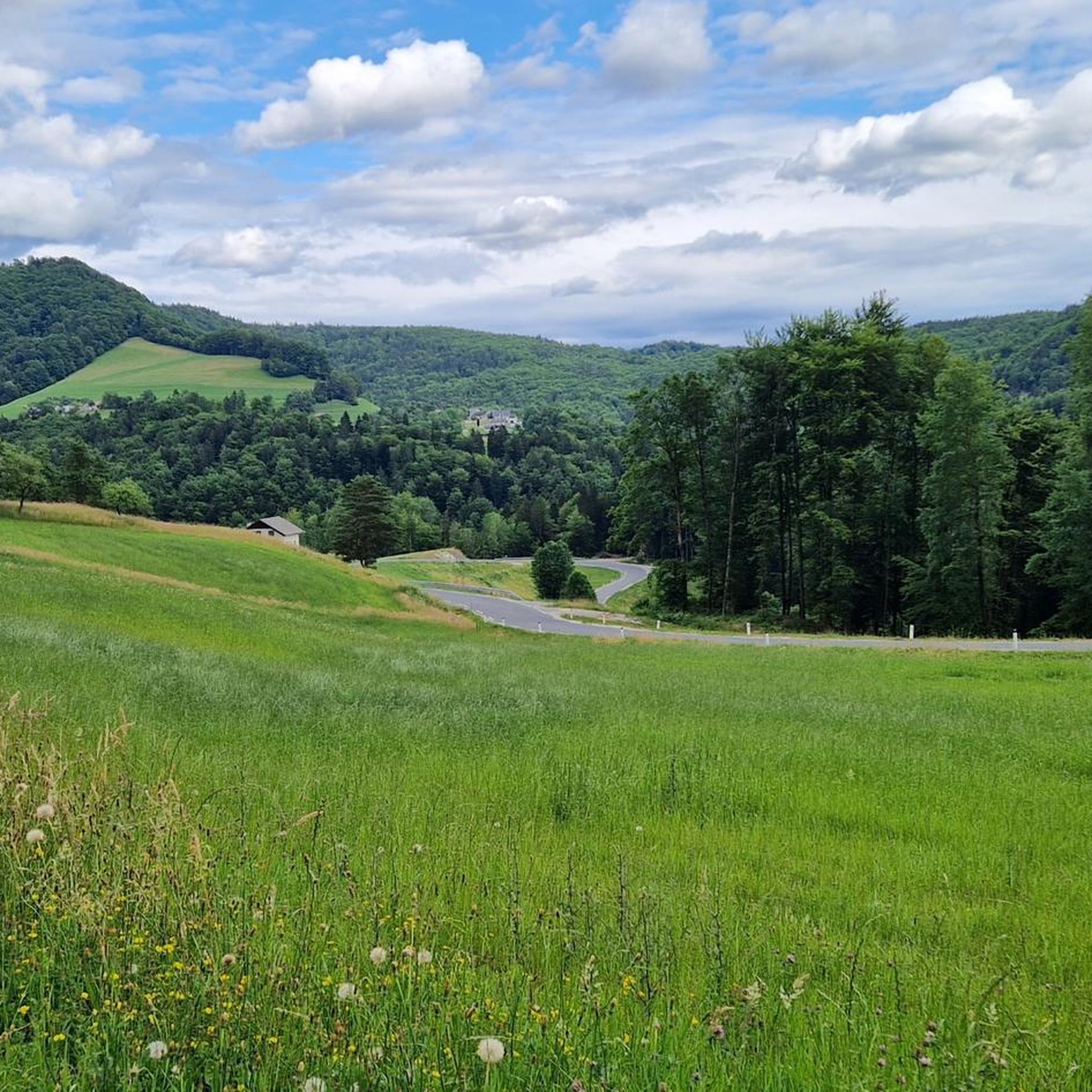
Jogging routes around Zagorje Ob Savi offer a diverse environment for outdoor activity, characterized by green valleys, rolling hills, and extensive forest trails. The region's landscape includes elevated areas and peaks such as Mrzlica and Kum, providing varied terrain for runners. Situated near the Sava River, the area presents a scenic backdrop for a range of fitness levels, from gentle paths to more challenging ascents.
Best jogging routes around Zagorje Ob Savi
- The most popular jogging route is Vrh Mrzlice – Planinski Dom na Mrzlici loop from Podmeja, a 5.6 miles (9.0 km) trail that takes 1 hour 11 minutes to complete. This difficult route features significant elevation gain towards Mrzlica Peak.
- Another top favourite among local runners is Limbarska gora loop from Krajno Brdo, a difficult 5.7 miles (9.2 km) path. This route offers a challenging ascent with varied terrain through the hills.
- Local runners also love the Running loop from Zagorje ob Savi, a 6.5 miles (10.6 km) trail leading through local landscapes, often completed in about 1 hour 17 minutes.
- Jogging around Zagorje Ob Savi is defined by green valleys, rolling hills, and forested paths, with routes offering options for different ability levels.
- The routes in Zagorje Ob Savi are highly rated by the komoot community with an average score of 4.8 stars from over 3 reviews. More than 400 runners have used komoot to explore Zagorje Ob Savi's varied terrain.
Last updated: May 24, 2026
13
runners
8.98km
01:11
410m
410m
Hard run. Very good fitness required. Mostly paved surfaces. Suitable for all skill levels.
12
runners
9.18km
01:14
390m
390m
Hard run. Very good fitness required. Mostly paved surfaces. Suitable for all skill levels.

Sign up for free
9
runners
19.2km
02:44
950m
950m
Hard run. Very good fitness required. Mostly paved surfaces. Suitable for all skill levels.
5
runners
10.6km
01:17
280m
280m
Moderate run. Good fitness required. Mostly paved surfaces. Suitable for all skill levels.
4
runners
9.39km
01:06
290m
290m
Moderate run. Good fitness required. Mostly paved surfaces. Suitable for all skill levels.
5.0
(1)
5
runners
14.0km
01:29
150m
150m
Moderate run. Good fitness required. Mostly paved surfaces. Suitable for all skill levels.
6
runners
19.7km
02:32
1,000m
1,000m
Hard run. Very good fitness required. Mostly paved surfaces. Suitable for all skill levels.
6
runners
15.2km
02:31
990m
990m
Hard run. Very good fitness required. Mostly paved surfaces. Suitable for all skill levels.
4
runners
13.0km
01:36
390m
390m
Hard run. Very good fitness required. Mostly paved surfaces. Suitable for all skill levels.
3
runners
9.08km
01:04
290m
290m
Moderate run. Good fitness required. Mostly paved surfaces. Suitable for all skill levels.
Get access to more routes and recommendations from other explorers.
Sign up for free
Already have an account?
Our route recommendations are based on thousands of hikes, rides, and runs completed by other people on komoot.
Start today with a free account
Your next adventure awaits.
Login or Signup

Other adventures around Zagorje Ob Savi

Tips from the Community

View from Grintovec in the north to Sneznik in the south
0
0
The mountain hut is open every day from 08:00 (as of January 2026).
0
0

At the 1,220-meter-high summit of Kum, modernity and history collide. Here, you'll find a huge transmission tower and an old stone church. There were actually two churches on the summit, but one had to make way for the transmission tower. There's also a mountain hut where you can stay overnight.
0
0


Great hut litlle lower from Kal peak. Place to rest and refresh. Good place for hikers or mountain bikers. Great Blueberry pie. There is even children playground.
0
0

The first time I was a little tired, but I didn't make it to the top, but the second time it was better :)
0
0


Good offer at home. An exceptional excursion point. Access is also possible by car
0
0
Frequently Asked Questions
How many running routes are available in Zagorje ob Savi?
There are over 35 dedicated running routes around Zagorje ob Savi, offering a wide range of options for different fitness levels and preferences. These include 13 moderate and 25 difficult trails.
What kind of terrain can I expect on the running trails in Zagorje ob Savi?
The terrain in Zagorje ob Savi is quite varied, featuring lush green valleys, rolling hills, and extensive forest paths. You'll find routes that traverse meadows and pastures, with some leading to elevated areas and peaks like Mrzlica and Kum, offering both gentle paths and challenging ascents.
Are there any easy running routes for beginners in Zagorje ob Savi?
While many routes in Zagorje ob Savi are classified as moderate or difficult, the region's diverse landscape means you can find gentler sections within valleys or along the Sava River area. For a moderate option, consider the Running loop from Zagorje ob Savi, which covers 10.55 km with a manageable elevation gain.
What are some challenging running routes for experienced runners?
Experienced runners seeking a challenge will find plenty of options. Routes like the Church of Saint Agnes on Kum – Kum Summit (1220 m) loop from Trbovlje offer significant elevation gains over 20 km. Another demanding option is the Mrzlica Peak – House on Mrzlice loop from Trbovlje, which spans nearly 20 km with over 1000 meters of ascent.
Are there any running routes with scenic views or natural landmarks?
Absolutely! Many routes in Zagorje ob Savi offer breathtaking views. For instance, the region boasts a Forest Path with Scenic Views. You can also explore the Krvavica Natural Monument or find a Single Trail With View of the Sava River. Routes leading to peaks like Mrzlica and Kum also provide expansive vistas.
Can I find circular running routes in the area?
Yes, many of the running trails in Zagorje ob Savi are designed as loops, allowing you to start and finish in the same location. Examples include the Ojstro – Selevc loop from Hrastnik and the Rjavi hrib – Rjavec loop from Moravški otok, both offering moderate challenges.
What do other runners enjoy most about jogging in Zagorje ob Savi?
The running routes in Zagorje ob Savi are highly rated by the komoot community, with an average score of 4.8 stars. Runners often praise the diverse terrain, from serene forests to challenging mountain ascents, and the beautiful scenic views that accompany many of the trails.
Are there any places to stop for refreshments or rest along the trails?
Some routes incorporate mountain huts or pass near villages where you might find refreshments. For example, the Čemšeniška Planina Mountain Hut is a notable spot in the area that could serve as a resting point on longer runs.
What is the best time of year to go running in Zagorje ob Savi?
Zagorje ob Savi offers good conditions for outdoor activities throughout much of the year. Spring and autumn provide pleasant temperatures and vibrant scenery, ideal for running. Summer can be warm, so early morning or late afternoon runs are recommended. Winter running is possible, especially on lower elevation trails, but higher peaks may require appropriate gear for snow and ice.
Are there any running routes that are suitable for families?
While many routes involve significant elevation, families looking for gentler running or walking options can explore the green valleys and less strenuous paths near the Sava River. Look for routes with minimal elevation gain and shorter distances, or consider sections of longer trails that are relatively flat.
Can I bring my dog on the running trails in Zagorje ob Savi?
Many trails in natural areas are generally dog-friendly, but it's always advisable to keep your dog on a leash, especially in areas with wildlife or livestock. Ensure your dog is fit enough for the chosen route and carry water for both of you. Always check local regulations for specific trails or protected areas.
What are some moderate running routes in the region?
For a moderate challenge, you could try the Lovski Gradič loop from Trbovlje, which is about 9 km long with a moderate elevation gain. Another good option is the Ojstro – Selevc loop from Hrastnik, covering 9.38 km with varied terrain.
Most popular routes around Zagorje Ob Savi
Most popular attractions around Zagorje Ob Savi

Get inspired with the komoot mobile app


