The best walks and hikes around Zagorje Ob Savi
4.7
(262)
1,991
hikers
44
hikes
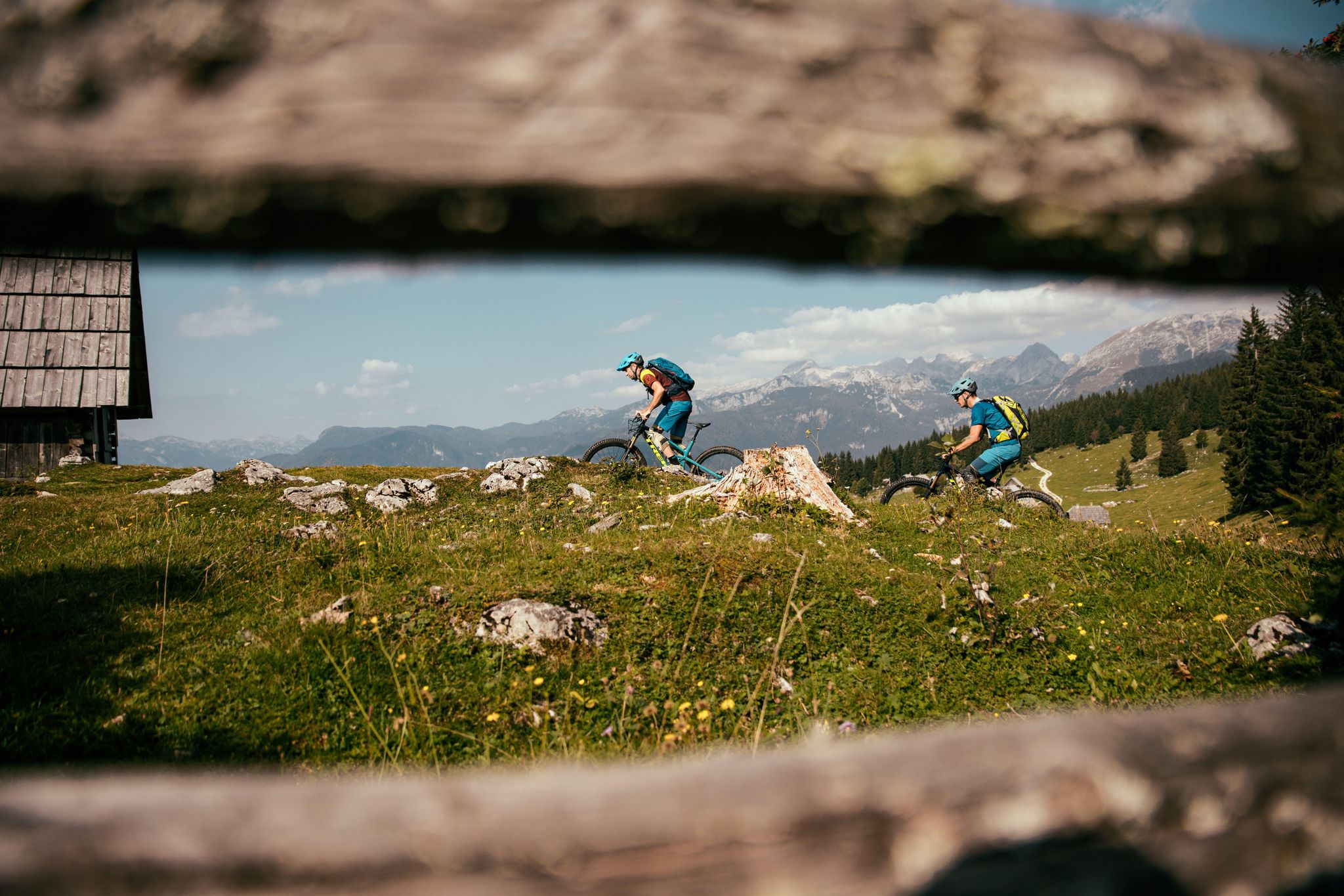
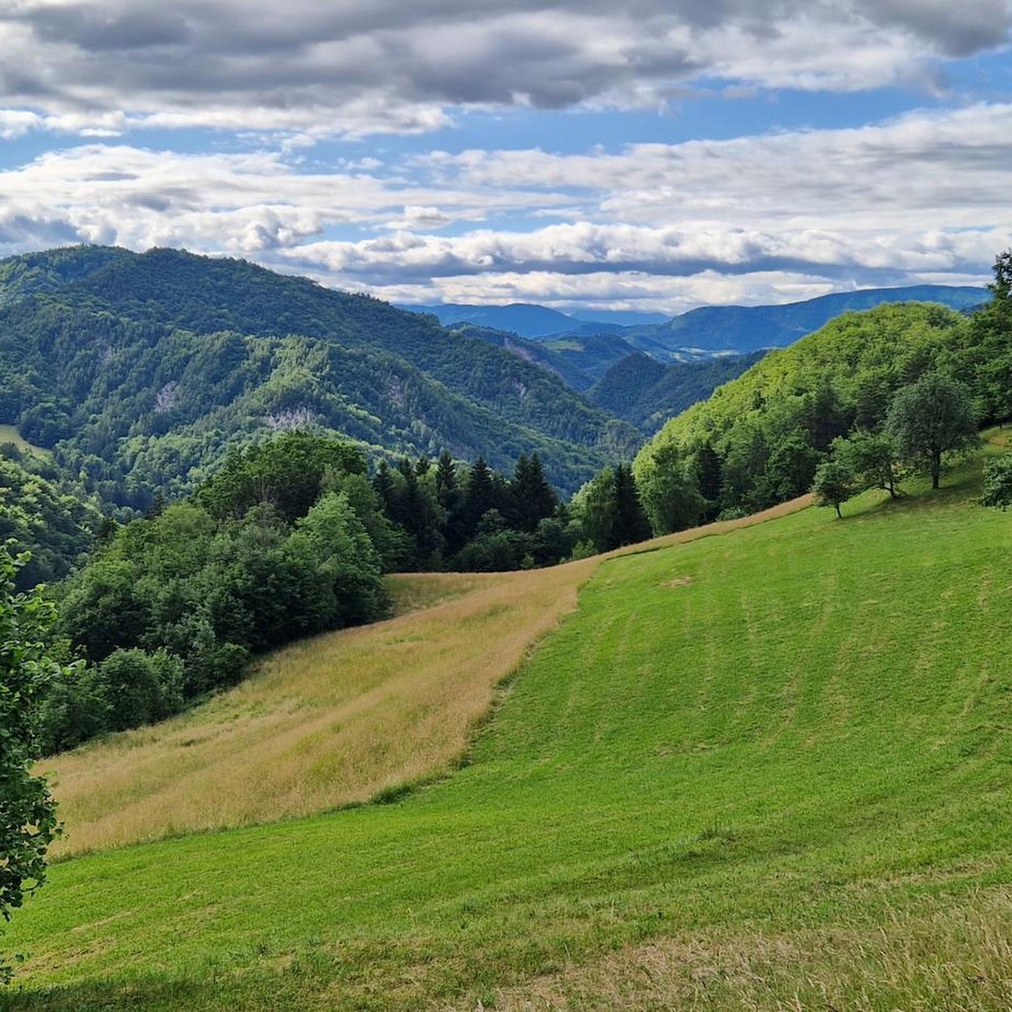
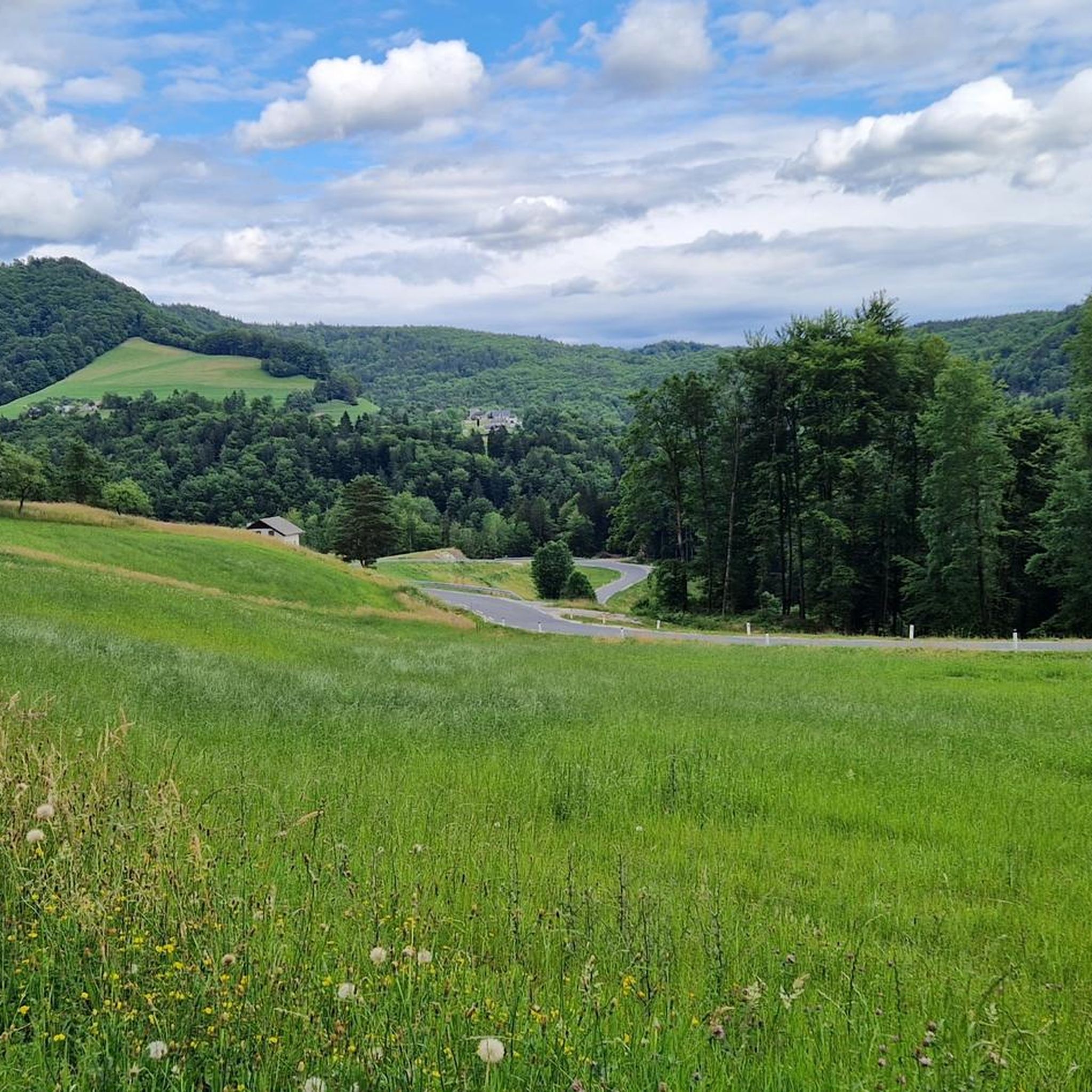
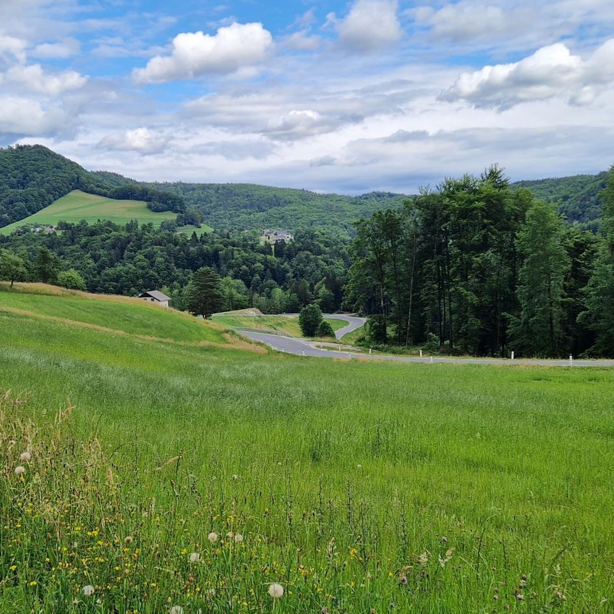
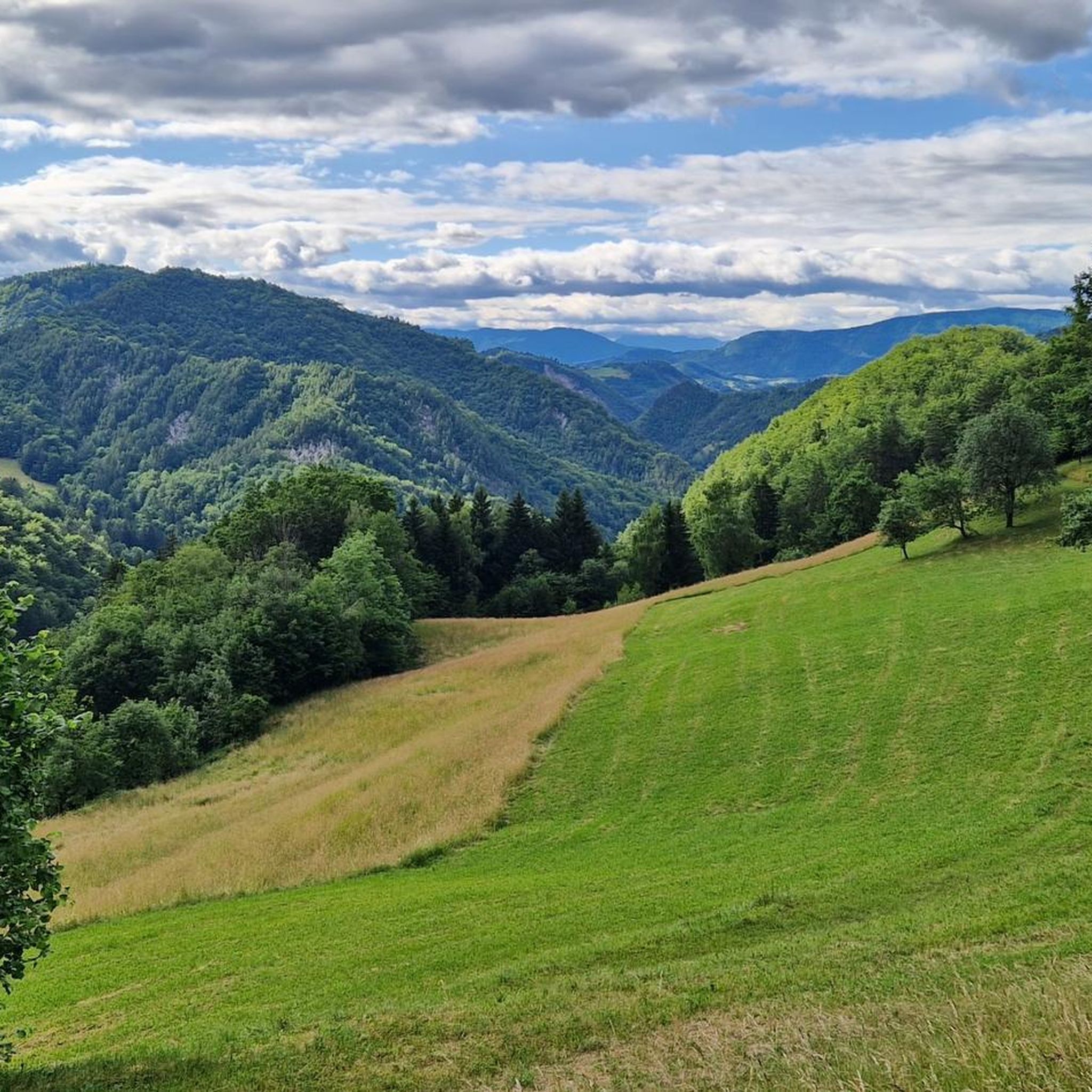
Hiking around Zagorje Ob Savi offers diverse terrain characterized by green valleys, rolling hills, and lush forests. The region features crystal-clear streams and alpine flora, providing varied landscapes for outdoor activities. From higher elevations, such as the Save Hills, expansive views can be enjoyed. The Sava River also plays a significant role in the landscape, contributing to the natural features of the area.
Best hiking trails around Zagorje Ob Savi
- The most popular hiking route is St. Neža Chapel –…
Last updated: October 8, 2026
4.8
(11)
102
hikers
9.95km
03:44
660m
660m
Moderate hike. Good fitness required. Easily-accessible paths. Suitable for all skill levels.
5.0
(3)
46
hikers
3.96km
01:47
390m
390m
Moderate hike. Good fitness required. Easily-accessible paths. Suitable for all skill levels.

5.0
(4)
27
hikers
6.11km
01:53
240m
240m
Easy hike. Great for any fitness level. Easily-accessible paths. Suitable for all skill levels.
5.0
(3)
13
hikers
9.05km
02:42
280m
280m
Moderate hike. Good fitness required. Easily-accessible paths. Suitable for all skill levels.
13
hikers
11.9km
03:39
390m
390m
Moderate hike. Good fitness required. Easily-accessible paths. Suitable for all skill levels.
4.5
(2)
15
hikers
9.04km
02:32
170m
170m
Moderate hike. Good fitness required. Easily-accessible paths. Suitable for all skill levels.
5.0
(2)
10
hikers
5.70km
02:29
520m
520m
Moderate hike. Good fitness required. Easily-accessible paths. Suitable for all skill levels.
5.0
(1)
5
hikers
6.46km
02:32
480m
480m
Moderate hike. Good fitness required. Easily-accessible paths. Suitable for all skill levels.
3
hikers
8.01km
02:55
470m
470m
Moderate hike. Good fitness required. Easily-accessible paths. Suitable for all skill levels.
Get access to more routes and recommendations from other explorers.
Already have an account?
Our route recommendations are based on thousands of hikes, rides, and runs completed by other people on komoot.
Start today with a free account
Your next adventure awaits.

Other adventures around Zagorje Ob Savi

Tips from the Community


View from Grintovec in the north to Sneznik in the south
0
0
The mountain hut is open every day from 08:00 (as of January 2026).
0
0

At the 1,220-meter-high summit of Kum, modernity and history collide. Here, you'll find a huge transmission tower and an old stone church. There were actually two churches on the summit, but one had to make way for the transmission tower. There's also a mountain hut where you can stay overnight.
0
0


Good offer at home. An exceptional excursion point. Access is also possible by car
0
0
A trip worth visiting, on the south side. Better when there are no leaves on the trees
0
0
Frequently Asked Questions
How many hiking trails are available in Zagorje Ob Savi?
There are over 45 hiking routes recorded in Zagorje Ob Savi, offering a wide range of options for different skill levels and preferences. These trails are highly rated by the komoot community, with an average score of 4.6 stars.
What kind of terrain can I expect on hikes in Zagorje Ob Savi?
The region is characterized by green valleys, rolling hills, and lush forests. You'll encounter varied terrain including tranquil meadows, crystal-clear streams, and alpine flora. Higher elevations, such as the Save Hills, offer expansive views, while the Sava River also contributes to the diverse landscape.
What is the best time of year to go hiking in Zagorje Ob Savi?
Zagorje Ob Savi is beautiful throughout the warmer months. June is particularly vibrant, with meadows on areas like Pleše boasting a rich array of wildflowers, including the distinctive orange Krainer Lilie. The diverse plant life makes spring and early summer especially appealing.
Are there any easy hiking trails suitable for beginners in Zagorje Ob Savi?
Yes, there are 10 easy hiking routes in Zagorje Ob Savi. An example is the Kum Mountain Hut – Kum Summit (1220 m) loop from Kum, which is 3.7 miles (6.0 km) long and typically takes around 1 hour 52 minutes to complete, leading through mountain terrain to the summit.
What natural features or landmarks can I see while hiking in Zagorje Ob Savi?
You can explore diverse natural features such as the green valleys, rolling hills, and lush forests. Notable landmarks include the prominent Kum Mountain (1220 m), the pilgrimage site of Zasavska Sveta Gora with its castle-like church of Sv. Marija, and the serene Radeče Ponds Nature Park. You might also encounter the Krvavica Natural Monument or enjoy a Forest Path with Scenic Views.
Are there any mountain huts or places to rest along the trails?
Yes, the region features mountain huts, most notably the Kum Mountain Hut, which is a common destination or waypoint for several trails leading to Kum Mountain. The Čemšeniška Planina Mountain Hut is another option for rest and refreshments.
What do other hikers enjoy most about the trails in Zagorje Ob Savi?
The trails in Zagorje Ob Savi are highly rated by the komoot community, with an average score of 4.6 stars from over 230 reviews. Hikers often praise the scenic views, peaceful surroundings, and the diverse terrain that ranges from gentle walks to more challenging ascents, particularly the expansive views from higher elevations like Kum Mountain.
Are there family-friendly hiking options in Zagorje Ob Savi?
Yes, Zagorje Ob Savi offers trails suitable for families. While specific 'family-friendly' designations aren't always explicit, many of the easier routes and walks through meadows or along the Sava River are great for all ages. The Zagorje ob Savi – Europark Playground loop from Zagorje ob Savi is a moderate 9.2 km route that could be adapted for a family outing.
Are dogs allowed on the hiking trails in Zagorje Ob Savi?
Generally, dogs are welcome on hiking trails in Slovenia, including Zagorje Ob Savi, provided they are kept on a leash and owners clean up after them. It's always advisable to check local signage for any specific restrictions in protected areas or around certain attractions.
Are there circular hiking routes available in Zagorje Ob Savi?
Yes, many of the trails in Zagorje Ob Savi are designed as circular routes, allowing you to start and end at the same point. Examples include the St. Neža Chapel – Kum Mountain Hut loop from Sopota and the Beautiful loop from Zagorje ob Savi, which is 11.9 km long.
Is public transport available to reach trailheads in Zagorje Ob Savi?
Zagorje Ob Savi is accessible by public transport, primarily by train or bus, which can get you to the main town. From there, local buses or short taxi rides might be needed to reach specific trailheads. For longer routes like the European Long Distance hiking Trail E6, specific access points might be available via regional transport.
Where can I find parking for hiking trails in Zagorje Ob Savi?
Parking is generally available near popular trailheads and in the main towns and villages of Zagorje Ob Savi. For routes leading to Kum Mountain, you can often find parking near starting points like Sopota or Mali Kum. It's recommended to check specific route descriptions or local information for designated parking areas.
What are some notable viewpoints in the Zagorje Ob Savi region?
The region offers several excellent viewpoints. From higher elevations, particularly from Kum Mountain (1220 m) and Zasavska Sveta Gora, you can enjoy expansive panoramic views that can stretch as far as Ljubljana and the Steiner Alpen. Many trails also feature scenic overlooks, such as the View of the Valley and River loop from Renke.
How long do hikes typically take in Zagorje Ob Savi?
Hike durations vary significantly depending on the route's length and difficulty. For example, an easy route like the Kum Mountain Hut – Kum Summit (1220 m) loop from Kum takes about 1 hour 52 minutes. Moderate trails, such as the St. Neža Chapel – Kum Mountain Hut loop from Sopota, can take around 3 hours 44 minutes. There are also longer routes for more extended adventures.
Most popular routes around Zagorje Ob Savi
Most popular attractions around Zagorje Ob Savi

Get inspired with the komoot mobile app


