The 16 Most Amazing Peaks around Schlaiten
Mountain peaks around Schlaiten, a municipality in the Lienz district of Tyrol, Austria, offer access to the Villgraten Mountains. This region provides diverse hiking opportunities, ranging from moderate trails to challenging summit tours. The area is known for its alpine landscapes and extensive panoramic views.
Best mountain peaks around Schlaiten
- The most popular mountain peaks is Rotenkogel Summit, a summit that offers a great 360-degree view. A panoramic view of the Großglockner is possible from below this worthwhile summit. …
Last updated: October 10, 2026
Rotenkogel Summit
Highlight • Summit
Translated by Google •
Tip by

Böses Weibele Summit
Highlight • Summit
A dream
Translated by Google •
Tip by

Sign up now to discover places like this
Get recommendations on the best single tracks, peaks, & plenty of other exciting outdoor places.
Hochstein summit cross
Highlight • Summit
What an amazing view
Translated by Google •
Tip by
Goiselemandl Summit
Highlight • Summit
Translated by Google •
Tip by

Schleinitz Summit Cross
Highlight • Summit
Translated by Google •
Tip by

Sign up for free to discover even more peaks around Schlaiten.
Already have an account?
Start today with a free account
Your next adventure awaits.
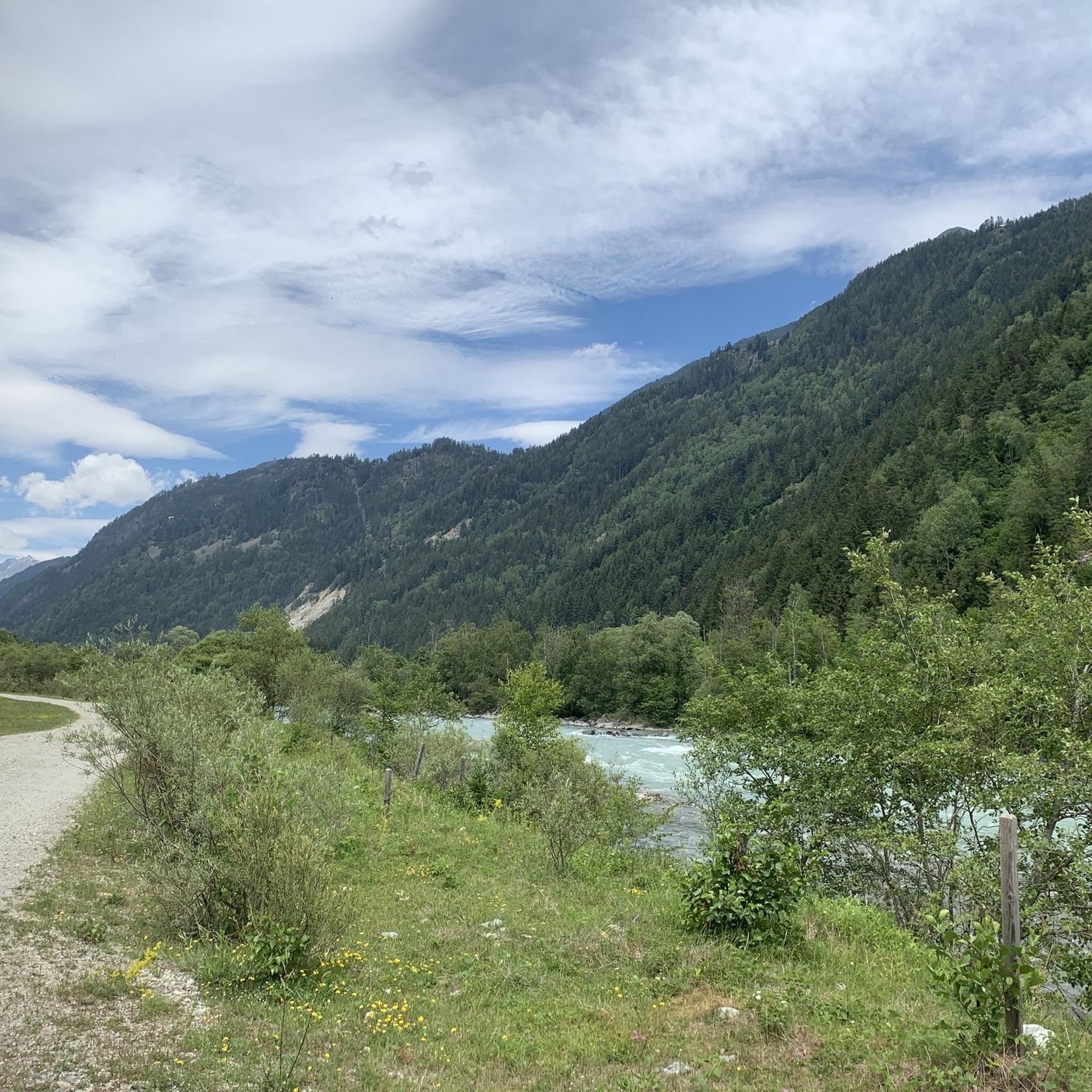
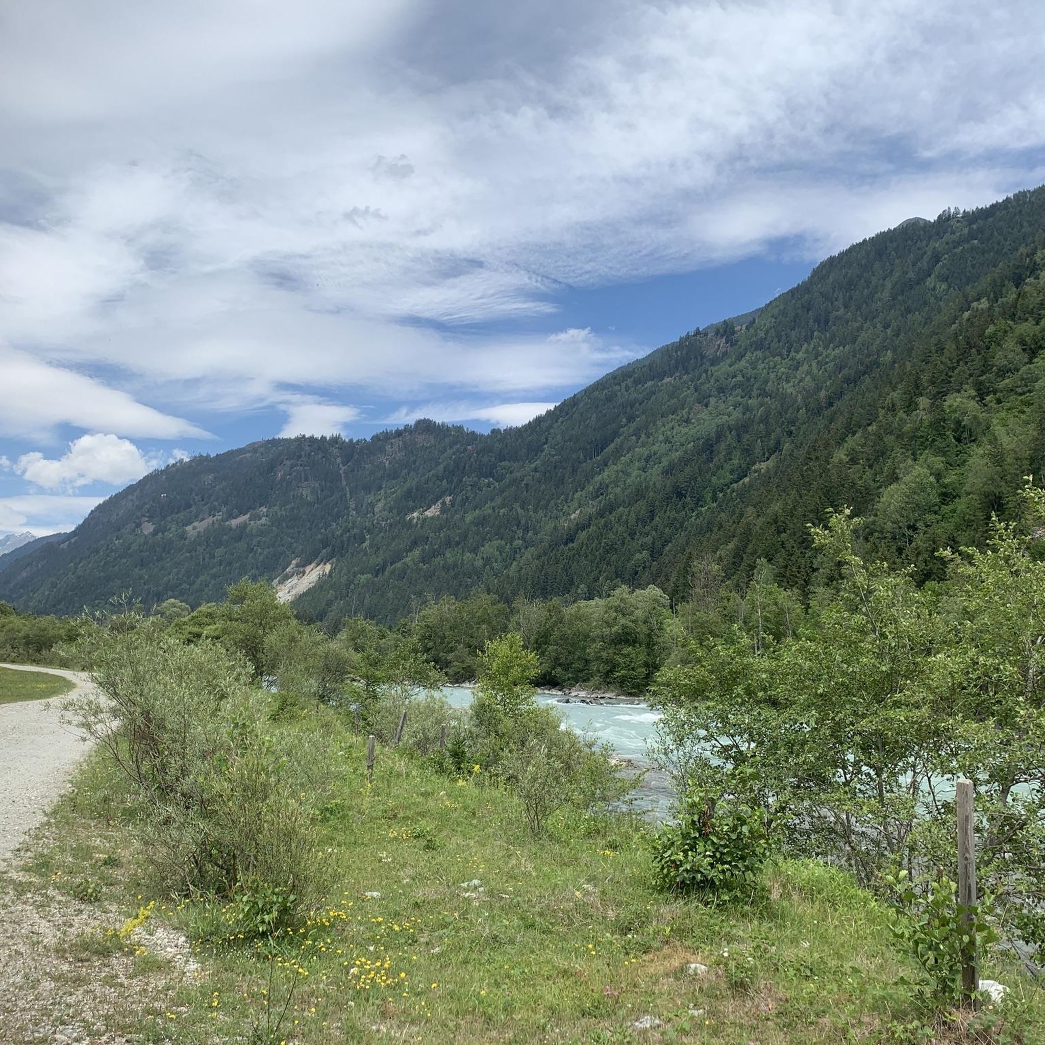
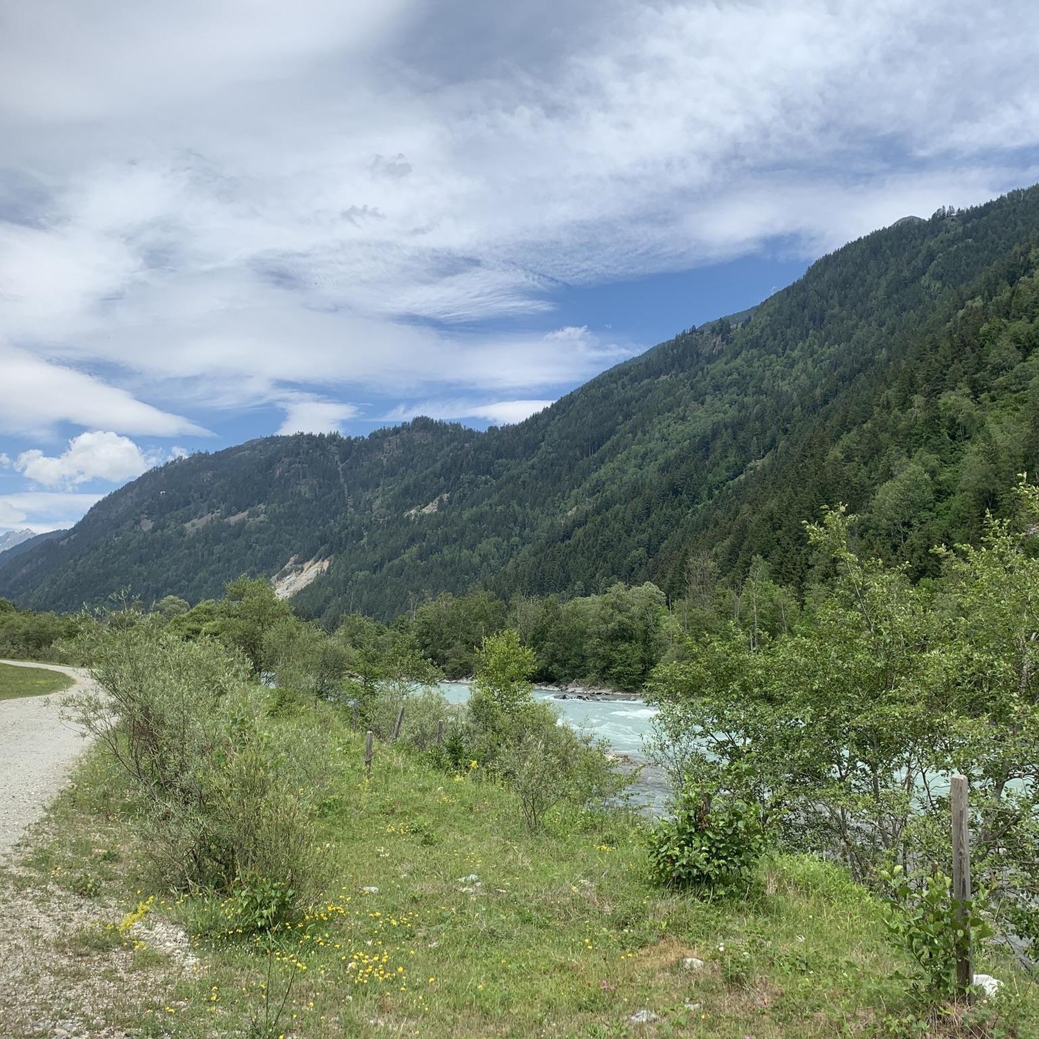
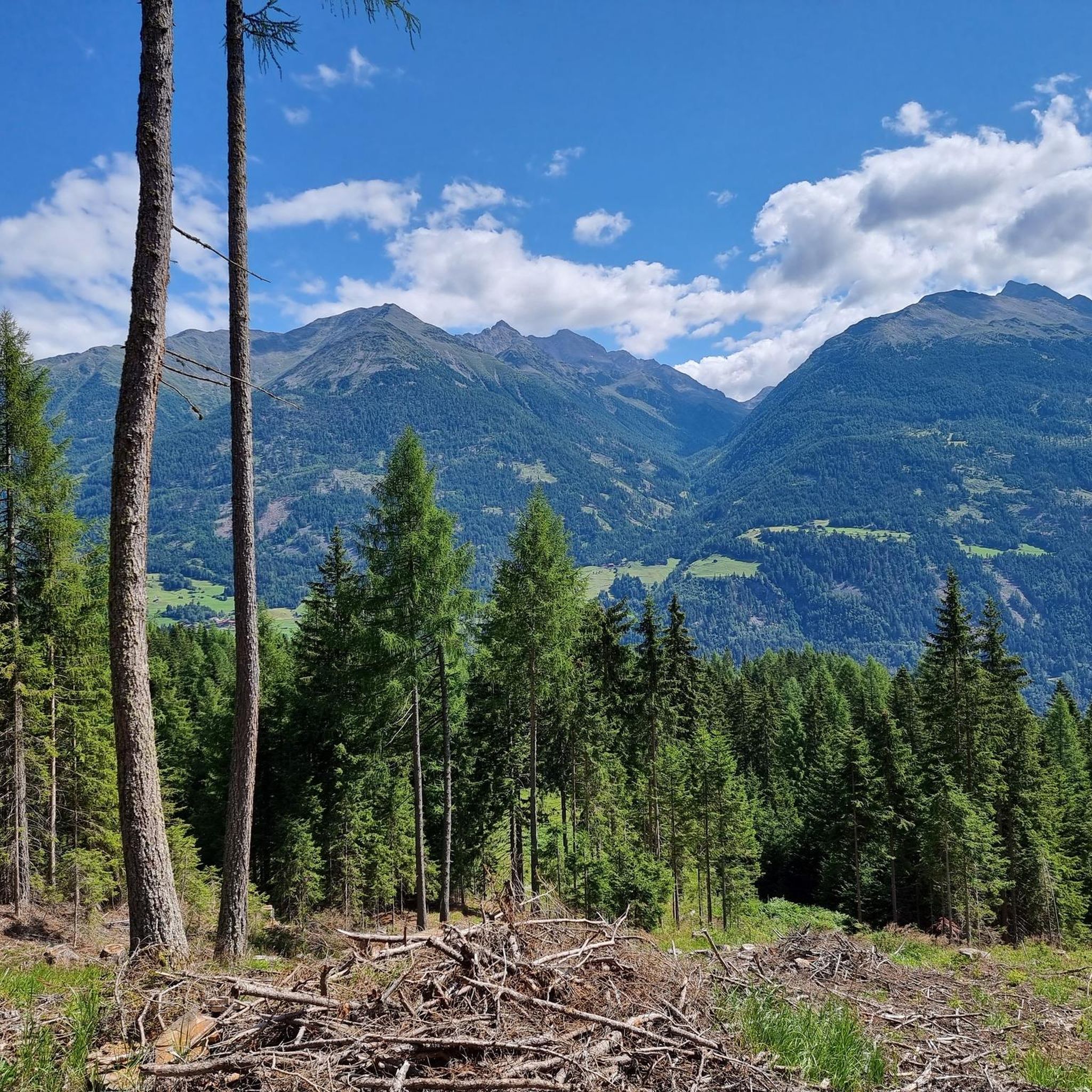
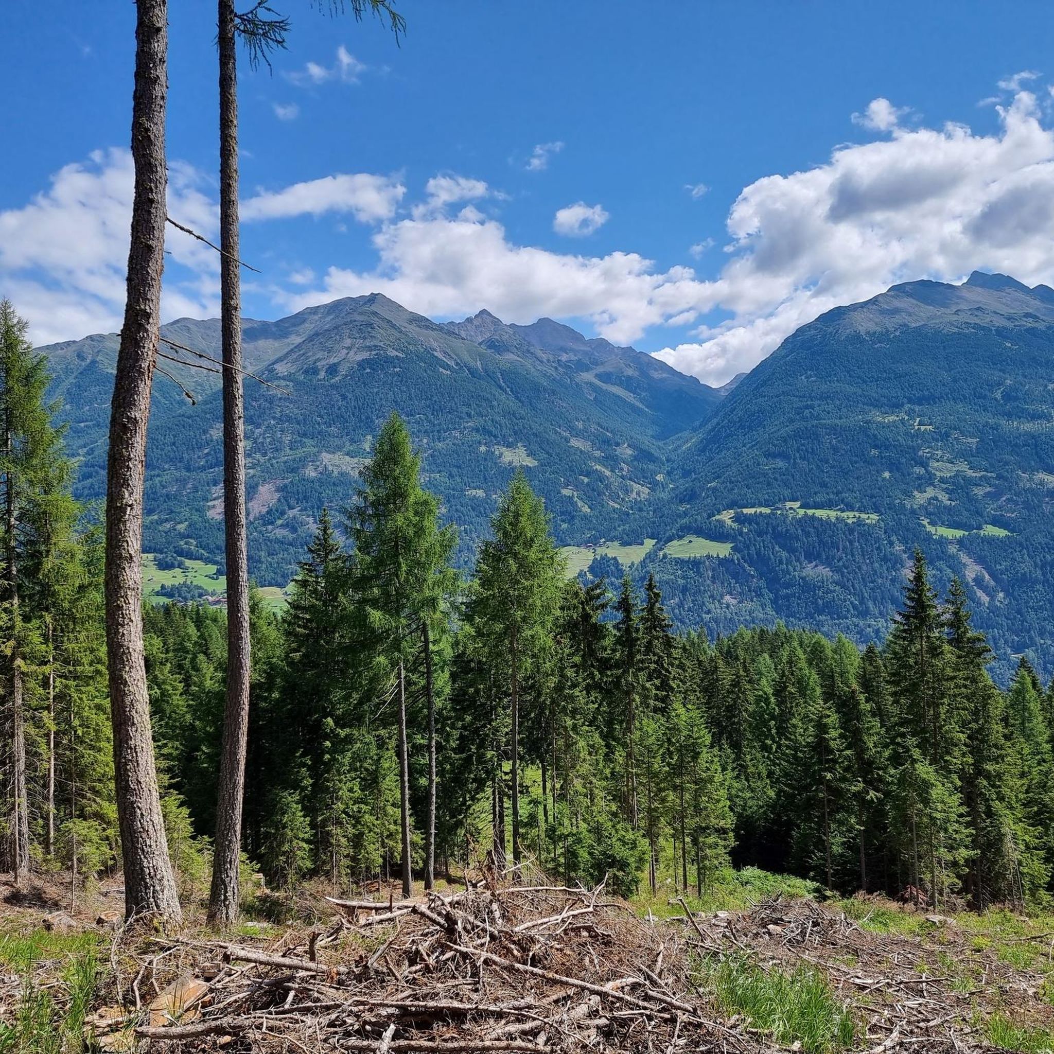

Tips from the Community

magnificent view all the way to the Dolomites
0
0

Great summit with a panoramic view, climbed it several times already
0
0
you take on the way to Schleinitz
0
0


The path from the Eagle Lounge to the summit is classified as black. The first section is fairly steep, the second part is a beautiful ridge path. There are a few rope safety devices. It took us about 75 minutes at a steady, slow pace. The view from the summit is phenomenal, but there are also wonderful viewpoints along the way.
0
0

Just a short walk from the hut. Worth it if the visibility is good 👀.
1
0

We took the tour from the Kals mountain railway today in mid-September. The scree areas at the beginning and just before the top were challenging. The length of the route is absolutely doable and the view is truly breathtaking. It took us a little longer because we set a slow pace on the 'difficult' routes. It should be noted that you should really be sure-footed on the route and keep your nerve as some sections are really dangerous. Despite moderate visibility, this was one of the most beautiful hikes so far for us.
1
1
Frequently Asked Questions
What are some popular mountain peaks to hike near Schlaiten?
Visitors frequently enjoy the Rotenkogel Summit, known for its great 360-degree views, and the Böses Weibele Summit, which offers extensive vistas. Another highly regarded spot is the Hochstein summit cross, where the view is considered well worth the climb.
What is the highest mountain peak in the Schlaiten area?
Bockstein, standing at 2805 meters, is the highest point within the municipal area of Schlaiten. It is a popular panoramic mountain, offering fantastic views of the surrounding alpine landscape.
Are there challenging mountain tours around Schlaiten?
Yes, several peaks offer challenging routes. The ascent to Bockstein, for instance, is an ambitious Bike & Hike tour with very steep sections, including gradients over 20%. The Rotenkogel Summit also features parts that are rope-insured and require sure-footedness and a head for heights. Similarly, the final stretch to Böses Weibele Summit involves a partly exposed rocky path.
What are the best times of year to hike the mountain peaks near Schlaiten?
The optimal time for visiting Rotstein is generally between April and September. For Bockstein, the best season is typically from June to September, when conditions are most favorable for summit tours.
What kind of views can I expect from the mountain peaks?
The mountain peaks around Schlaiten are renowned for their breathtaking vistas. From Rotstein, you can enjoy extensive views encompassing the Lienz Dolomites to the south-east, as well as the Schober group and the majestic Glockner group to the north. Peaks like Rotenkogel Summit and Böses Weibele Summit are specifically highlighted for their panoramic 360-degree or all-round views.
What other outdoor activities can I do near the mountain peaks around Schlaiten?
Beyond hiking, the region offers various outdoor activities. You can explore numerous road cycling routes, such as those detailed in the Road Cycling Routes around Schlaiten guide, or enjoy general cycling tours found in Cycling around Schlaiten. For runners, there are several Running Trails around Schlaiten, including routes around the Isel Suspension Bridge and Iselteich.
What makes Rotstein a notable peak to visit?
Rotstein, located in the Deferegger Alps, is celebrated as a wonderful viewing mountain. Its summit provides extensive views of the Lienz Dolomites, the Schober group, and the majestic Glockner group. The hike to Rotstein is generally rated as moderate, leading through beautiful alpine pastures and meadows.
What should I know about hiking to Böses Weibele Summit?
While Böses Weibele Summit is appreciated for its great all-round view and is relatively easy to reach by car up to 2,000 meters, it is considered a mountain tour rather than a simple hike. The last section is a partly exposed rocky path that requires sure-footedness and good hiking shoes. Rapidly changing weather and strong winds can occur at its 2,500-meter altitude.
Are there any circular hiking routes available near Schlaiten's peaks?
Yes, the region offers various circular routes for different activities. For instance, cycling options include the 'Wooden Bridge over the Isel – Isel Suspension Bridge loop from Schlaiten' and the 'Isel Suspension Bridge – Bruck Castle loop from Ainet'. Running enthusiasts can find loops like the 'Iselteich loop from Ainet'. While specific circular hiking routes directly to the peaks are not detailed, many trails offer varied terrain for round trips.
What are the Villgraten Mountains known for?
The Villgraten Mountains, which include the peaks near Schlaiten, are renowned for their stunning panoramic views and diverse hiking opportunities. They offer a tranquil escape with trails ranging from leisurely forest walks to more challenging summit tours, all set within a picturesque alpine landscape.
Can I find trails suitable for beginners among the mountain peaks?
While some peaks like Bockstein and Rotenkogel Summit offer challenging routes, the region also provides trails of varying difficulty. The hike to Rotstein, for example, is generally rated as moderate. Many paths lead through alpine pastures and meadows, offering less strenuous options for those new to mountain hiking, though proper footwear and preparation are always recommended.
What is the <a href="https://www.komoot.com/highlight/3515049" target="_blank" rel="noopener">Goiselemandl Summit</a> known for?
The Goiselemandl Summit is appreciated for its pleasant path leading up to the summit cross. It is considered a highlight for both summer and winter excursions, offering rewarding views.
What is special about the <a href="https://www.komoot.com/highlight/546352" target="_blank" rel="noopener">Schleinitz Summit Cross</a>?
The Schleinitz Summit Cross marks a great and the highest mountain in the Lienz valley floor. It offers a very nice panorama, provided there is no fog, making it a popular destination for its extensive views.
Most popular routes around Schlaiten
Most popular attractions around Schlaiten

Get inspired with the komoot mobile app


Explore more
See even more amazing summits around Schlaiten with these guides:
