The best mountain hikes around Schlaiten
4.7
(44)
430
hikers
14
hikes
Mountaineering routes around Schlaiten traverse an alpine landscape characterized by prominent peaks, high-altitude pastures, and forested valleys. The region offers a diverse range of ascents, from challenging summit attempts to routes connecting mountain huts. Elevations vary significantly, providing varied terrain for different skill levels. The area is known for its well-defined trails leading to panoramic viewpoints.
Best mountaineering routes around Schlaiten
- The most popular mountaineering route is Böses Weibele Summit – Böses Weibele (2,521 m) loop from Parkplatz Hochstein-Hütte,…
Last updated: June 24, 2026
4.5
(4)
28
hikers
11.5km
07:11
1,190m
1,190m
Hard mountaineering route. Very good fitness required. Sure-footedness, sturdy shoes and alpine experience required.
5.0
(2)
32
hikers
14.5km
08:09
1,330m
1,330m
Hard mountaineering route. Very good fitness required. Sure-footedness, sturdy shoes and alpine experience required.

Sign up for free
3.7
(3)
31
hikers
13.7km
07:49
1,330m
1,330m
Hard mountaineering route. Very good fitness required. Sure-footedness, sturdy shoes and alpine experience required.
4.6
(5)
23
hikers
12.7km
04:15
610m
610m
Moderate mountaineering route. Good fitness required. Easily-accessible paths. Suitable for all skill levels.
4.6
(5)
23
hikers
Moderate mountaineering route. Good fitness required. Mostly accessible paths. Sure-footedness required.
Get access to more routes and recommendations from other explorers.
Sign up for free
Already have an account?
Our route recommendations are based on thousands of hikes, rides, and runs completed by other people on komoot.
Start today with a free account
Your next adventure awaits.
Login or Signup
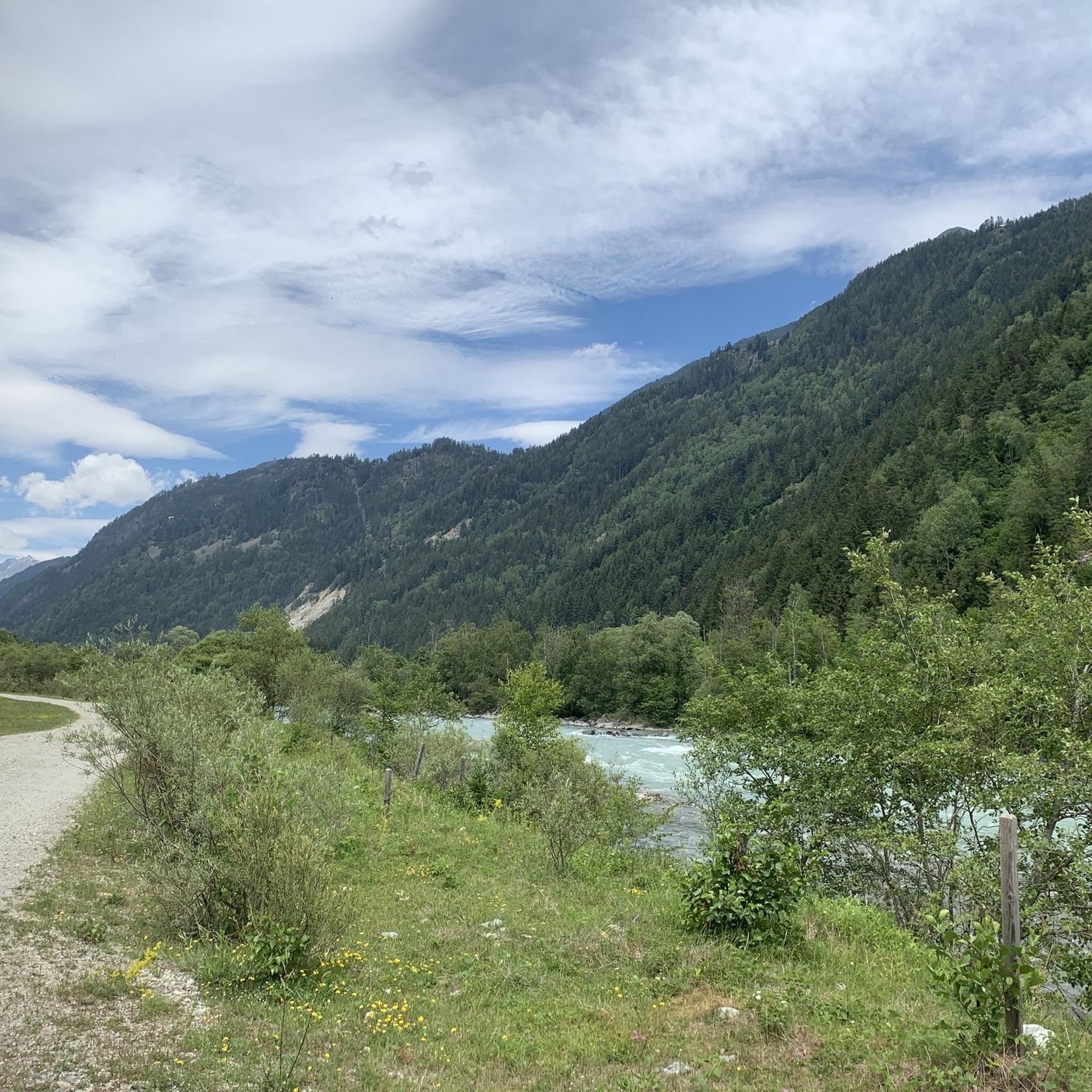
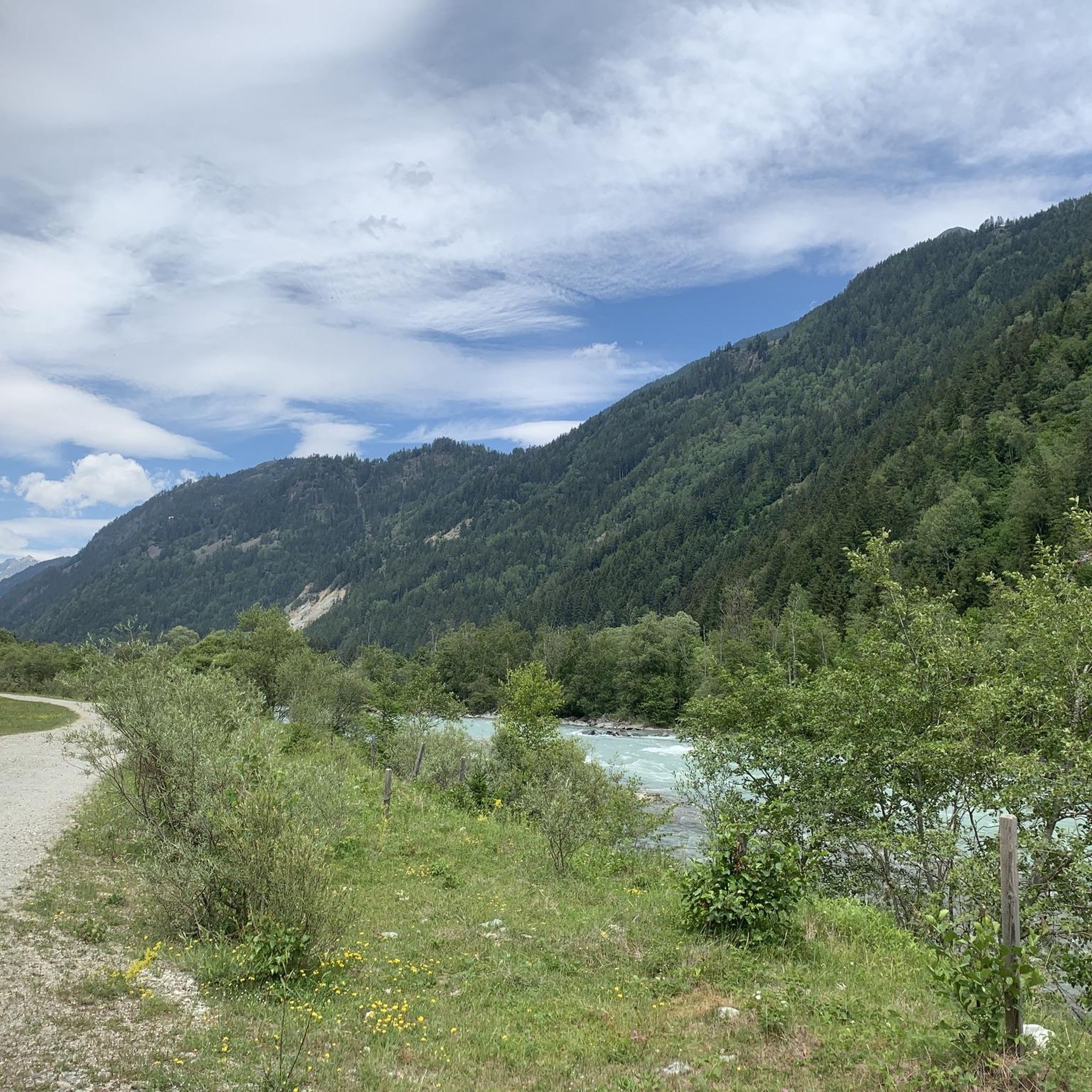
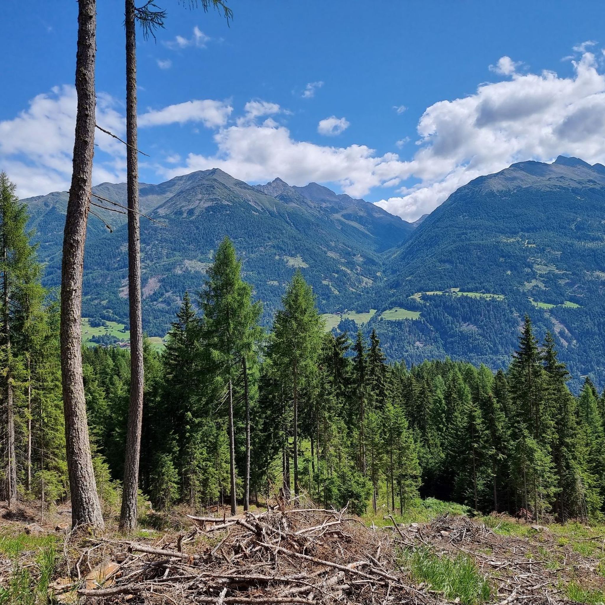
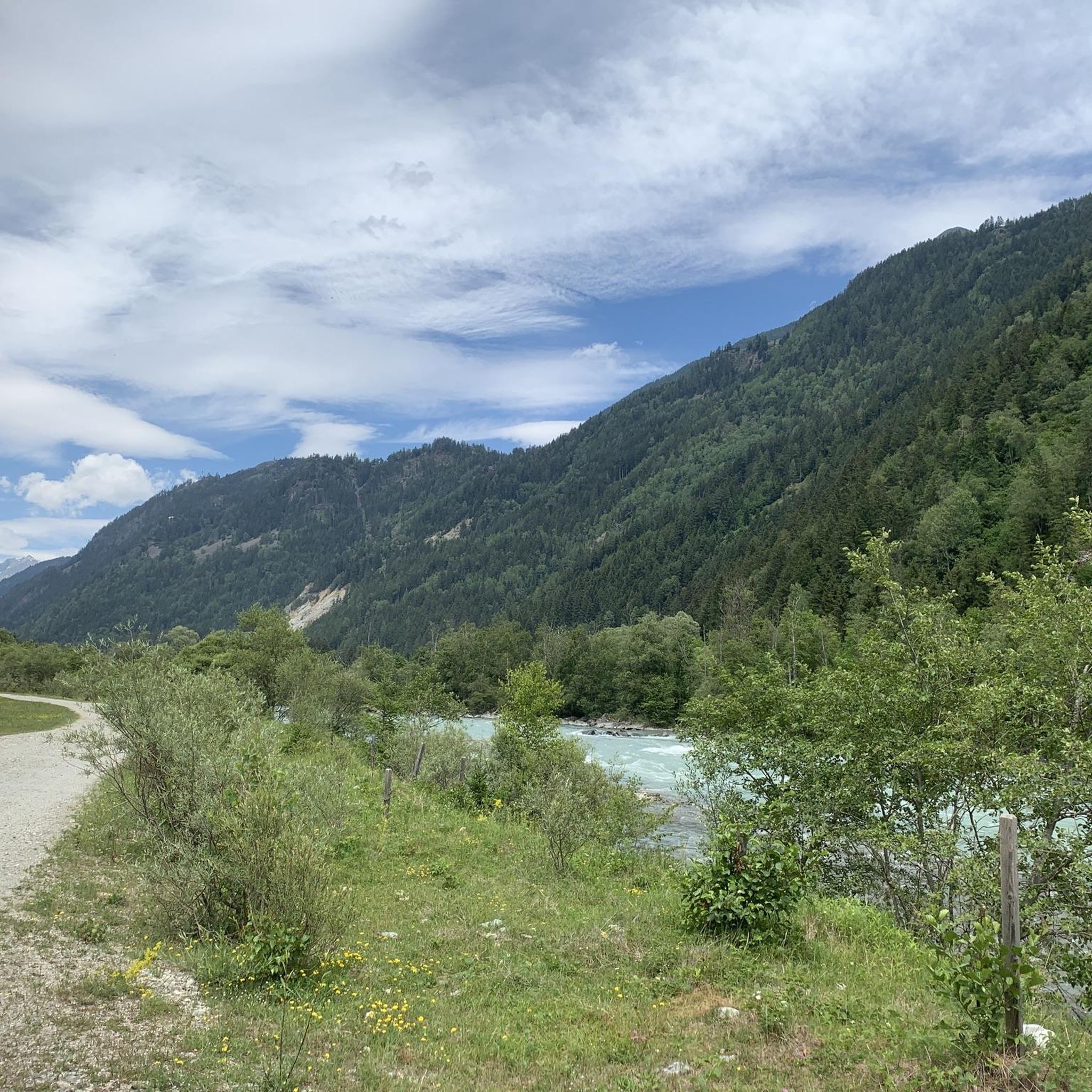

Tips from the Community

magnificent view, but a strenuous, stony path
0
0

At the end of the forest path is this old, rustic bridge that leads to the Hochschober Hut.
0
0

BELL OF PEACE AND BROTHERHOOD A project of the "East Tyrolean Interreligious Team". Its ringing brings blessings to the whole world. We wish you good weather on the Hochstein so that you can return to everyday life healthy and strengthened. As a souvenir, there are candles with a picture of the bell that you can light here or take home with you. You can write your thoughts, wishes and prayers in the book of friendship. We thank you for every monetary donation and for the stones from all over the world. The "East Tyrolean Interreligious Team" is a member of the URI, the "United Religions Initiative" supported by the UN. Translated with DeepL.com (free version) More information: https://freundschaftsglocke-hochstein.net/eine-seite/ https://www.bildung-frieden.net/
1
0
In the hut posted information sheet: PEACE AND BROTHERHOOD BELL A project by the "Interfaith Team East Tyrol". Its ringing brings blessings to the entire world. We wish you a good time on the Hochstein, so that you can return to your daily life healthy and invigorated. As a memento, there are candles with the photo of the bell, to light here or to take home. In the friendship book you can write down your thoughts, wishes and prayers. We thank you for every donation of money and for the stones from all over the world. The "Interfaith Team East Tyrol" is a member of the URI, "United Religions Initiative" supported by the UN.
0
0

Just a short walk from the hut. Worth it if the visibility is good 👀.
1
0
The Peace Bell - laid out with stones from many countries, THEY all get along...
1
1

Alpine climbing tour (3+) over Niederen Prijakt
0
0

Lovely view
0
0
Frequently Asked Questions
Are there any beginner-friendly mountaineering routes around Schlaiten?
While there are no routes classified as 'easy' for mountaineering directly around Schlaiten, you'll find several moderate options that are suitable for those with some experience. For example, the Böses Weibele Summit – Böses Weibele (2,521 m) loop from Parkplatz Hochstein-Hütte is a moderate 6.1-mile (9.8 km) trail offering a rewarding summit experience with expansive views.
Where can I find challenging mountaineering routes in Schlaiten?
Schlaiten is well-known for its challenging mountaineering routes, with 12 out of 16 routes classified as difficult. A notable option is the Hochschober Summit – Hochschoberhütte loop from Niederer Prijakt, a demanding 7.1-mile (11.5 km) path involving significant elevation gain to a prominent summit, passing a mountain hut along the way.
Are there any circular mountaineering routes in the Schlaiten area?
Yes, many of the mountaineering routes around Schlaiten are designed as loops, allowing you to start and end at the same point. For instance, the Leibnitzalm – Hochschoberhütte loop from Parkplatz Hochschoberhütte is an 8.5-mile (13.7 km) trail that takes you through high-altitude pastures and alpine terrain.
What is the best time of year for mountaineering in Schlaiten?
The best time for mountaineering in Schlaiten is typically from late spring to early autumn (June to September) when the trails are generally free of snow and weather conditions are more stable. Always check local weather forecasts and trail conditions before heading out, especially in shoulder seasons.
Are there mountain huts along the mountaineering routes in Schlaiten?
Yes, the region features several mountain huts that can serve as rest stops, overnight stays, or starting points for tours. The Hochsteinhütte and Lienzer Hut are popular options. Some routes, like the Hochschober Summit loop, pass directly by huts, offering opportunities for refreshment.
What kind of wildlife might I encounter on the trails around Schlaiten?
The alpine environment around Schlaiten is home to diverse wildlife. You might spot chamois, ibex, marmots, and various bird species, including eagles, especially in higher elevations. Keep a respectful distance and observe quietly to avoid disturbing them.
Are there any waterfalls to see near the mountaineering routes?
While the primary focus of these routes is mountaineering, the broader region around Schlaiten does feature beautiful waterfalls. You can find highlights like the Mittewald Waterfall and the Schrentebach Waterfall in the vicinity, which can be explored as separate excursions.
What do other mountaineers enjoy most about the routes in Schlaiten?
The mountaineering routes in Schlaiten are highly rated by the komoot community, with an average score of 4.7 stars from over 40 reviews. Reviewers often praise the diverse alpine landscape, the well-defined trails leading to panoramic viewpoints, and the rewarding summit experiences. The variety of routes, from moderate to challenging, also receives positive feedback.
Are there any other points of interest or attractions near the mountaineering trails?
Beyond the trails themselves, the area offers other attractions. The Lienz Old Town is a charming place to visit, and for those interested in more adventurous activities, the Galitzenklamm Gorge & Via Ferrata offers a thrilling experience.
What are the typical distances and elevation gains for mountaineering routes in Schlaiten?
The routes vary significantly. Moderate trails like the Hochstein summit cross – Hochsteinhütte loop from Dörfl cover about 7.9 miles (12.7 km) with around 2,000 feet (600 m) of elevation gain. More difficult routes, such as the Hochsteinhütte – Hochstein summit cross loop from Parkplatz Hochstein-Hütte, can involve similar distances but often with higher cumulative ascents.
Is it possible to reach the trailheads using public transport?
While specific public transport details for every trailhead are not provided, many alpine regions in Austria offer bus services to popular starting points during peak season. It's advisable to check local bus schedules for the Schlaiten area, especially for routes originating from villages or designated parking areas like 'Parkplatz Hochstein-Hütte'.
Most popular routes around Schlaiten
Most popular attractions around Schlaiten

Get inspired with the komoot mobile app


Explore more
Browse the best Mountain Hikes & Routes in other regions.
