The 18 Most Amazing Peaks around Weitersfelden
Best mountain peaks around Weitersfelden are found in the Mühlviertel region of Upper Austria, an area characterized by rolling hills and extensive forests. Located at an altitude of 733 meters, Weitersfelden offers a landscape with diverse elevations. The region integrates natural beauty with cultural and historical landmarks, including ancient "Kleindenkmale" like "Lochsteine" and "Pechölsteine." These features provide a range of experiences for those exploring the area's natural and historical significance.
Best mountain peaks around Weitersfelden
- The most popular mountain peaks…
Last updated: June 23, 2026
Hoh-Haus at Buchberg Observation Tower
Highlight • Viewpoint
Translated by Google •
Tip by

Herrgottssitz Rock Formation
Highlight • Natural Monument
Translated by Google •
Tip by

Sign up now to discover places like this
Get recommendations on the best single tracks, peaks, & plenty of other exciting outdoor places.
Sign up for free
Summit Cross at Königswiesen
Highlight • Summit
Translated by Google •
Tip by

Braunberg East Summit
Highlight • Summit
Translated by Google •
Tip by

Hussenstein Memorial
Highlight • Monument
350 hundredweight monument: The Hussenstein is located at the place where the Bohemian reformers Jan Hus (6 July 1415) and Hieronymus of Prague (30 …
Translated by Google •
Tip by
Sign up for free to discover even more peaks around Weitersfelden.
Sign up for free
Already have an account?
Start today with a free account
Your next adventure awaits.
Login or Signup
Popular around Weitersfelden
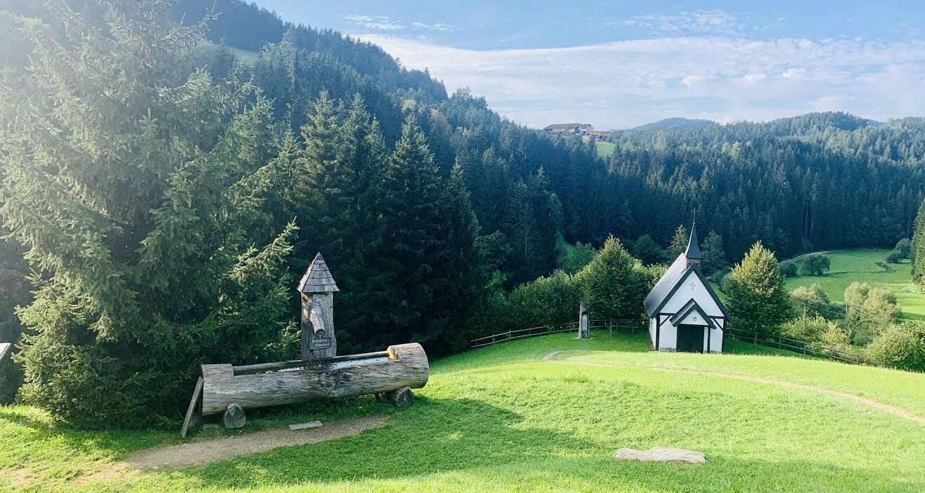
St. John's Pilgrimage Route – A spiritual path through Austria's Mühlviertel
MTB Trails around Weitersfelden
Hiking around Weitersfelden
Road Cycling Routes around Weitersfelden
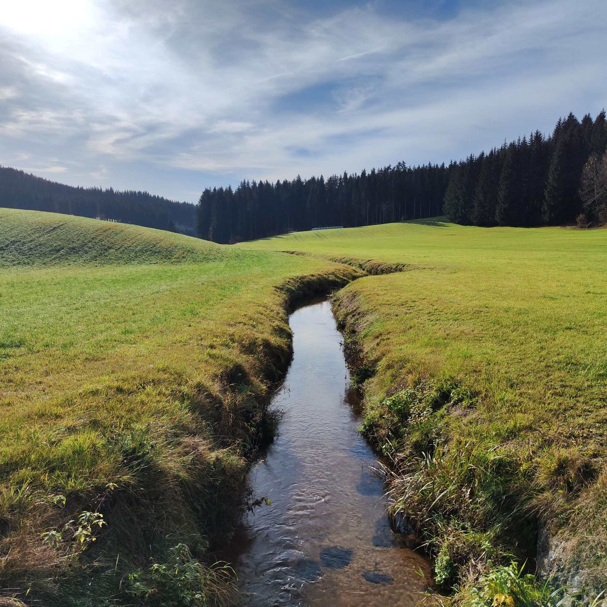
Cycling around Weitersfelden
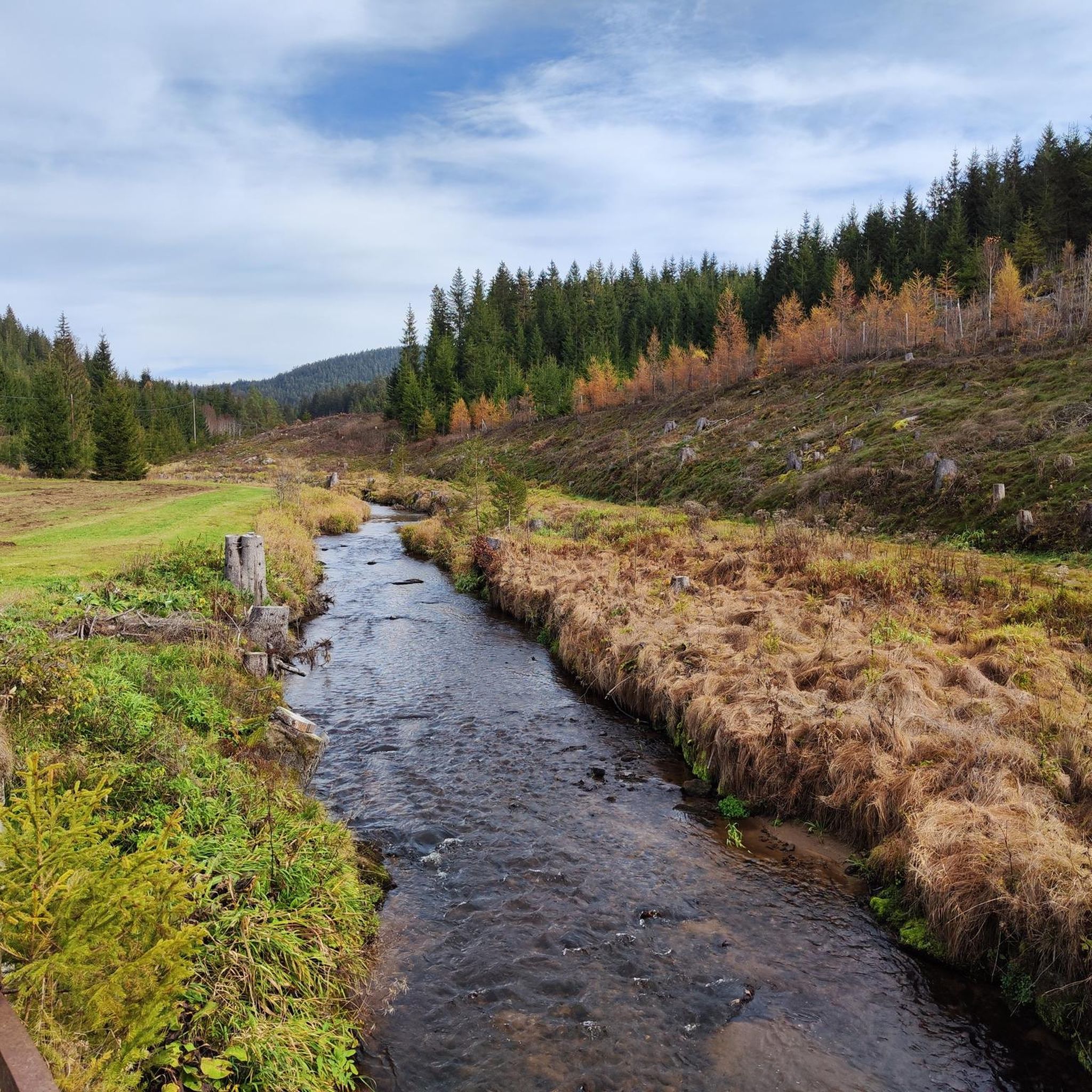
Running Trails around Weitersfelden
Gravel biking around Weitersfelden

Mountain Hikes around Weitersfelden
Other adventures around Weitersfelden

Tips from the Community

Beautiful rock formation, short climbing section possible.
0
0

Beautiful hike along the Johannesweg
0
0

It's worth going up here😉⚜️
1
1
A great granite stone with a summit cross. This place of power offers the opportunity to rest and pause. If you want to go up to the summit cross, a good hiking shoe with a firm grip is highly recommended.
1
0

There are several options for hiking there, from large to small hikes and circular trails
1
0

One of the most beautiful places of power with lots of peace and quiet in the middle of the forest
0
0

Very nice place to relax.
0
0
Very nice rest area at the cross, invites you to linger. Great view.
0
0
Frequently Asked Questions
What are some of the most notable mountain peaks and viewpoints in the Weitersfelden area?
The Weitersfelden region offers several significant elevations and viewpoints. The highest point in the municipal area is Schwarzberg (996 m), known for expansive views. Another prominent peak is Kammererberg (980 m), which features the 'Kammerer Cross' and is part of a scenic loop hike. For panoramic views, consider visiting the Hoh-Haus at Buchberg Observation Tower, which offers a family-friendly hike and an architectural blend of history and modernity. The Summit Cross at Königswiesen also provides fantastic distant views and is a notable resting spot on the Johannesweg.
Are there family-friendly mountain walks or activities around Weitersfelden?
Yes, the region offers several options suitable for families. The hike to the Hoh-Haus at Buchberg Observation Tower is particularly family and child-friendly, featuring good paths mostly along meadows and fields. Additionally, the area has numerous marked hiking trails catering to various fitness levels, including easy routes. For specific easy hikes, you can explore options listed in the Easy hikes around Weitersfelden guide.
What kind of terrain can I expect on mountain trails in Weitersfelden?
The terrain around Weitersfelden's mountain peaks is characterized by rolling hills and extensive green forests, with approximately 70% of the area being woodland. You'll find diverse hiking opportunities ranging from easy, mostly flat paths along meadows and fields, to more challenging and steep ascents, such as parts of the climb to the Herrgottssitz Rock Formation. Trails often integrate natural features and cultural landmarks.
What cultural or historical sites can be found near the mountain peaks in Weitersfelden?
Weitersfelden is rich in 'Kleindenkmale' (small monuments and natural landmarks) often integrated into hiking routes. These include ancient 'Lochsteine' (hole stones), 'Pechölsteine' (pitch oil stones) known for traditional pitch oil extraction, and 'Schüsselsteine' (bowl stones), some linked to ancient Celtic cult sites. The 'Kammerer Cross' on Kammererberg is a natural landmark with cultural significance. You can also find the Hussenstein Memorial, a historical site commemorating reformers.
Are there specific hiking routes or trails that incorporate these mountain peaks?
Yes, many of the peaks and significant points are part of established hiking routes. For instance, the Kammererberg area is featured in the 'Mountain Chapel 'Kammerer Cross' – Ursprung Chapel loop'. The Summit Cross at Königswiesen is one of the twelve stations on the 84-kilometer Johannesweg, a trail designed for reflection. The Braunberg East Summit also offers several options for hiking, including circular trails.
What other outdoor activities can I do near the mountain peaks in Weitersfelden?
Beyond hiking, the Weitersfelden area offers diverse outdoor activities. You can explore various cycling routes, including challenging tours around the region, as detailed in the Cycling around Weitersfelden guide. For mountain biking enthusiasts, there are numerous MTB Trails around Weitersfelden, ranging from moderate to difficult. The natural features like the 'Zwischenstromwies'n' where the Black and White Aist rivers merge, also offer unique natural spectacles for exploration.
What is the best time to visit the mountains around Weitersfelden?
The region offers diverse experiences throughout the year. While specific 'best' times are not detailed, the presence of diverse hiking opportunities and natural beauty suggests that spring, summer, and autumn would be ideal for hiking and exploring the peaks and cultural sites. The tranquil nature of trails like the Johannesweg can be enjoyed when conditions allow for comfortable outdoor activity.
What natural features, besides the peaks themselves, can I discover in the Weitersfelden mountains?
Beyond the prominent peaks, the Weitersfelden area is rich in natural beauty. You can discover the 'Zwischenstromwies'n,' a unique natural spectacle where the Black and White Aist rivers merge, and explore the Aist loop. The region is also characterized by extensive forests, covering about 70% of its total area, offering diverse flora and fauna. The Herrgottssitz Rock Formation is another significant natural monument.
Are there any specific viewpoints that offer particularly good panoramic views?
Yes, several spots provide excellent panoramic views. The Hoh-Haus at Buchberg Observation Tower is specifically designed to offer panoramic views of the surrounding Mühlviertel landscape. The Summit Cross at Königswiesen also boasts fantastic distant views, including towards the Ruin Ruttenstein. Even the highest point, Schwarzberg, is noted for its expansive vistas.
What do visitors enjoy most about the mountain peaks and trails in Weitersfelden?
Visitors appreciate the blend of natural beauty and cultural significance. The family-friendly hikes, like the one to the Hoh-Haus at Buchberg Observation Tower, are highly rated for their accessibility and views. The tranquil nature of trails such as the Johannesweg, which encourages reflection, is also a significant draw. The presence of unique historical landmarks like the 'Pechölsteine' and the overall charm of the village nestled among rolling hills contribute to a memorable experience.
What is the elevation range for hiking in the Weitersfelden mountain region?
The Weitersfelden region is located at an altitude of 733 meters, with its highest point being Schwarzberg at 996 meters. Hiking trails in the area offer a range of elevation gains, from relatively flat paths to ascents up to 3,000 feet (approximately 914 meters) on more challenging routes, catering to various fitness levels.
Most popular routes around Weitersfelden
Most popular attractions around Weitersfelden

Get inspired with the komoot mobile app


Explore more
See even more amazing summits around Weitersfelden with these guides:
