The best walks and hikes in La Garita Wilderness
28
hikers
7
hikes
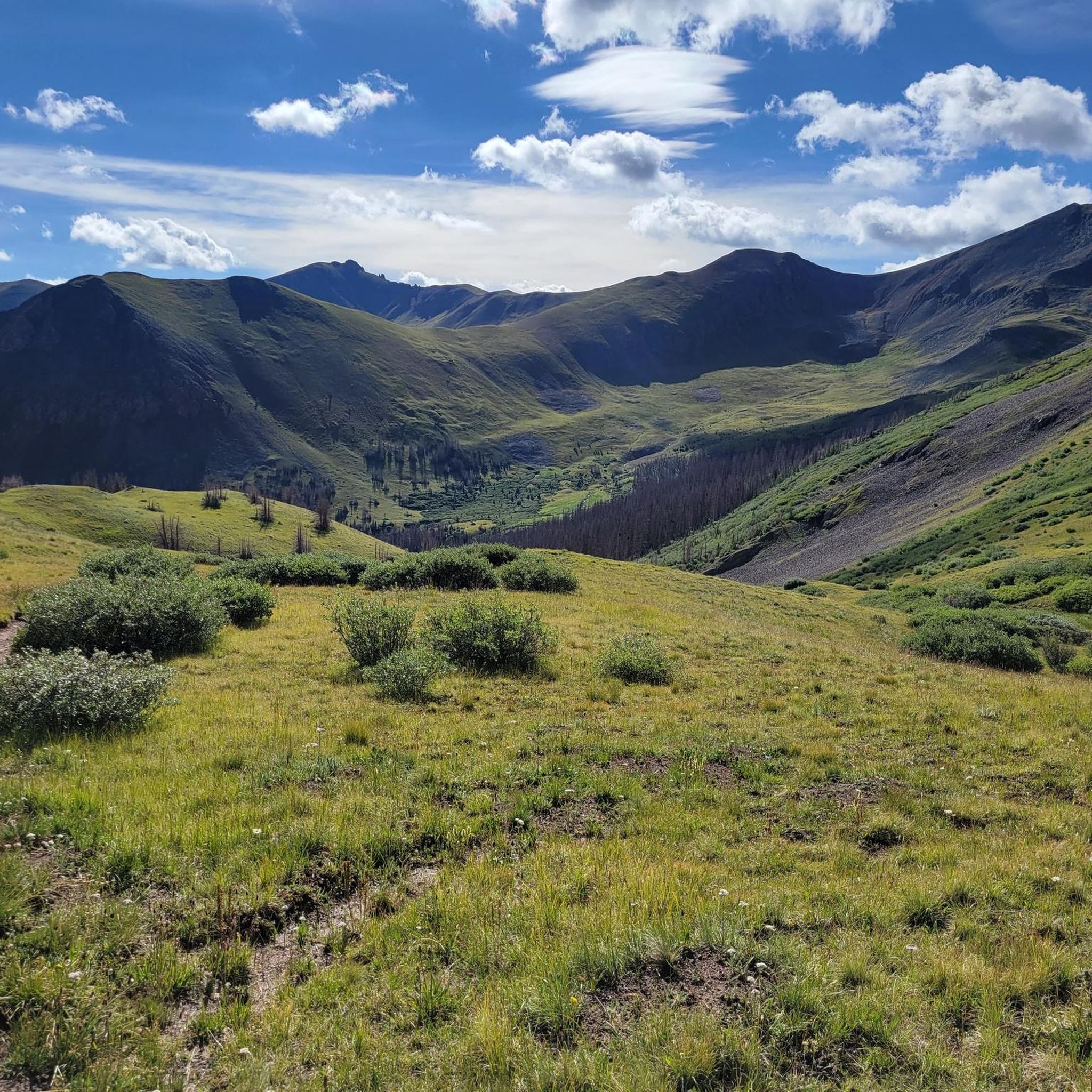
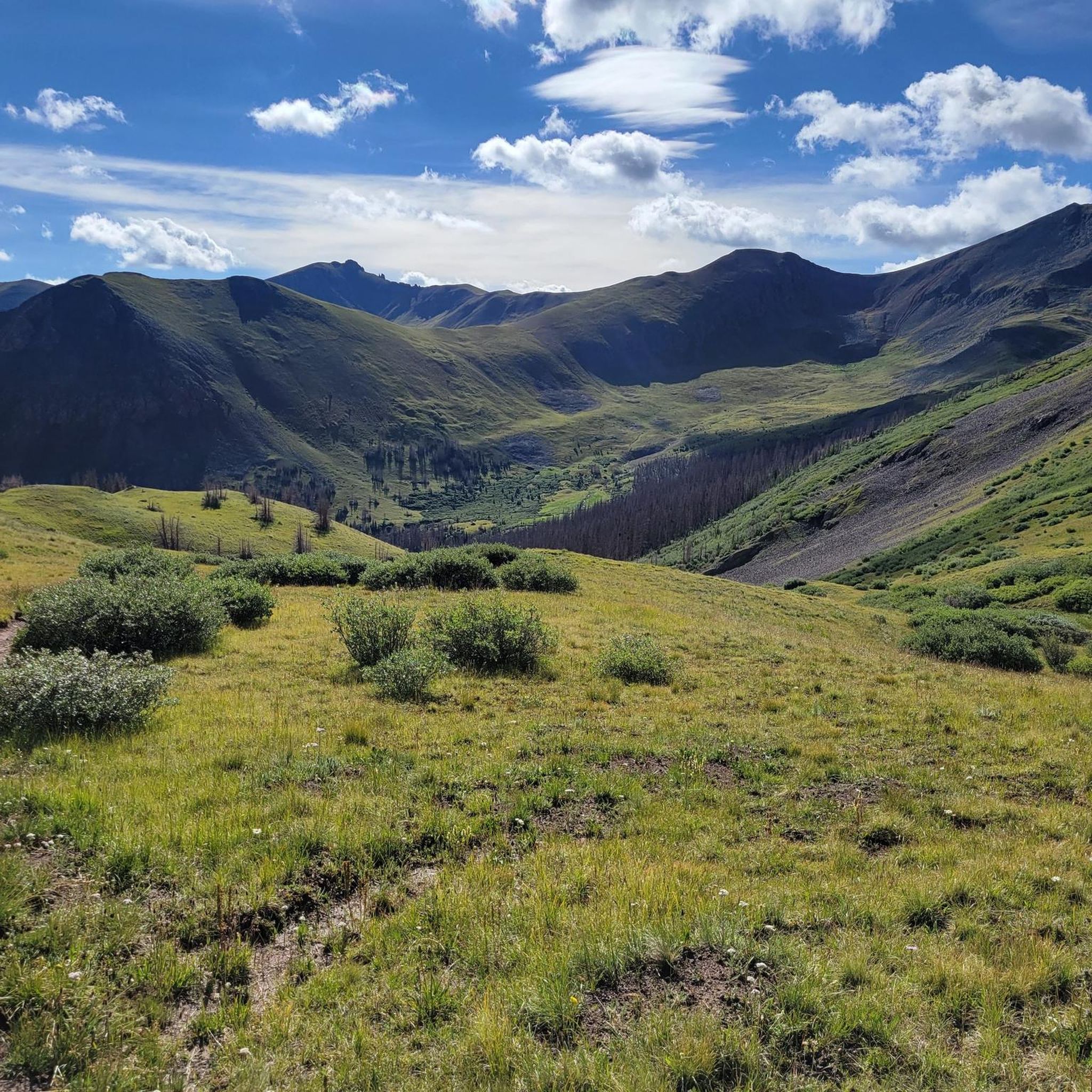
Hiking in La Garita Wilderness offers diverse landscapes within the San Juan Mountains of southwestern Colorado. The region features rugged mountain terrain, expansive alpine tundra, and dense subalpine forests. It is characterized by the massive La Garita Caldera, a volcanic formation, and includes San Luis Peak, a prominent "fourteener." Rushing streams and broad subalpine meadows are also common throughout the wilderness.
Best hiking trails in La Garita Wilderness
- The most popular hiking route is Colorado Trail: Segment 21, a…
Last updated: May 28, 2026
17
hikers
23.4km
07:42
1,170m
850m
Embark on a challenging high-altitude adventure with Colorado Trail: Segment 21, a difficult hike spanning 14.5 miles (23.4 km). You will gain a significant 3824 feet (1166 metres) in elevation,…
1
hikers
10.4km
03:48
1,050m
0m
Embark on a difficult 6.5-mile (10.4 km) hike up the San Luis Peak via Stewart Creek Trail, gaining 3449 feet (1051 metres) in elevation. This route guides you through dense…

Sign up for free
17.4km
05:15
530m
530m
Hike the difficult 10.8-mile Snow Mesa via Colorado Trail for vast alpine tundra, panoramic San Juan Mountain views, and a high-altitude adv
1
hikers
8.93km
03:21
850m
120m
Hike the remote San Luis Peak - South Ridge, a moderate 5.5-mile trail with 2,778 feet of gain, offering panoramic views of the San Juan Mou
2
hikers
3.38km
01:09
190m
130m
Embark on the Up and Over Trail, an easy hike that guides you through varied landscapes. You will begin with an uphill climb across a barren hillside before entering a…
Get access to more routes and recommendations from other explorers.
Sign up for free
Already have an account?
Our route recommendations are based on thousands of hikes, rides, and runs completed by other people on komoot.
Start today with a free account
Your next adventure awaits.
Login or Signup




Tips from the Community

This is one of a few exposed saddles in the area along the CT/CDT with great views, a steep grade, and a short ascent.
0
0
Hikers on the Colorado Trail will traverse the Snow Mesa, a long, flat mesa with lots of exposure on top. This point is the edge that drops down into Spring Creek Pass, a scenic descent (or ascent if heading northbound) from this unique feature.
0
0
This saddle sits just above 12,500 feet, and is the junction to San Luis Peak with the CDT/CT. From this point it is 1.4 miles to the summit of San Louis Peak and 1,300 feet of elevation gain.
0
0

San Luis Peak in the San Juan Mountains is one of Colorado‘s famous 14ers. The most common routes to the summit start at the Eddiesville Trailhead. It is an easy accessible peak for hikers of the Colorado Trail/Continental Divide Trail, since it is located just next to the trail. It will take about an hour (in and out) from there.
3
0
Mineral Creek is a reliable water source and there are several good campsites in the area.
1
0
Spring Creek Pass is the access point for hikers of the Colorado Trail/Continental Divide Trail to get into Lake City - unique hiker town. The hitch might not be too easy, but it is worth the wait. The trailhead has plenty of parking and a pit toilet.
0
0

This high mesa sits above treeline and is completely open with sweeping views of Baldy Cinco and Uncompahgre in the distance. The trail is almost completely flat, nontechnical, packed dirt singletrack once you ascend the mesa. Willow Creek Pond is a great scenic turnaround point at the eastern end of this segment.
0
0
There is a camping area with a picnic table and restrooms at the trailhead. The pass sits at over 10,800 feet and provides access to both the Colorado Trail and Continental Divide Trail, which overlap either side of the pass. The easterly direction takes you along section 21 of the CT, and the westerly trail takes you on section 22.
0
0
Frequently Asked Questions
How many hiking trails are available in La Garita Wilderness?
La Garita Wilderness offers a selection of 8 hiking routes, ranging from easy strolls to challenging climbs. These trails provide access to the diverse landscapes of the San Juan Mountains.
What are the difficulty levels of the hikes in La Garita Wilderness?
The trails in La Garita Wilderness cater to various skill levels. You'll find 2 easy routes, 1 moderate option, and 5 difficult trails, many of which involve significant elevation gain as they ascend into the high alpine terrain.
What is the best time of year to hike in La Garita Wilderness?
The prime hiking season in La Garita Wilderness is typically from late spring through early autumn. During this period, the snowmelt has largely receded, making trails more accessible, and the alpine meadows are often vibrant with wildflowers. Always check local conditions, especially for high-altitude trails like those leading to San Luis Peak, as snow can persist into early summer.
Are there any family-friendly hiking options in La Garita Wilderness?
While many trails in La Garita Wilderness are challenging, there are easier options suitable for families looking to explore. These routes often feature gentler gradients and shorter distances, allowing for a pleasant experience amidst the wilderness's natural beauty. Look for the 'easy' rated trails in the guide for suitable choices.
Can I bring my dog on the trails in La Garita Wilderness?
Yes, dogs are generally permitted on trails within La Garita Wilderness, provided they are kept under control. As a wilderness area, it's important to practice Leave No Trace principles, which includes packing out all pet waste. Always check specific trail regulations before heading out.
What unique geological features can I see in La Garita Wilderness?
La Garita Wilderness is renowned for its dramatic geological history, shaped by the massive La Garita Caldera. A major highlight is the Wheeler Geologic Area, located in the southeast. It features an unusual series of domes, spires, and pinnacles formed from volcanic ash, offering a truly unique landscape to explore.
Are there any loop trails in La Garita Wilderness?
Yes, for those who prefer not to retrace their steps, there are loop options available. One notable example is the challenging Saddle below San Luis Peak – San Luis Peak loop from Equity Mine, which offers a comprehensive experience of the high country.
What kind of wildlife might I encounter while hiking?
La Garita Wilderness is home to diverse wildlife. Hikers often have the chance to spot bighorn sheep, elk, deer, and black bears. The varied ecosystems, from subalpine forests to alpine meadows, provide habitats for many species, making wildlife viewing a rewarding part of the experience.
What do other hikers enjoy most about La Garita Wilderness?
The komoot community highly rates La Garita Wilderness, with an average score of 5.0 stars. Reviewers often praise the profound solitude and tranquility found here, as it's one of Colorado's less-visited wilderness areas. The breathtaking panoramic views from peaks like San Luis Peak and the unique geological formations are also frequently highlighted.
Are there any trails that offer views of San Luis Peak?
Absolutely. San Luis Peak, the wilderness's sole 'fourteener,' is a prominent feature. Trails like San Luis Peak via Stewart Creek Trail and San Luis Peak - South Ridge lead directly to or offer stunning vistas of this majestic summit, providing 360-degree views of the surrounding wilderness.
What are some of the longer, more challenging hikes available?
For experienced hikers seeking a significant challenge, La Garita Wilderness offers several demanding routes. The Colorado Trail: Segment 21 covers over 23 km with substantial elevation gain, traversing a section of the Continental Divide National Scenic Trail. Another challenging option is Snow Mesa via Colorado Trail, offering expansive alpine views.
Is public transportation available to La Garita Wilderness?
Direct public transportation to the trailheads within La Garita Wilderness is generally not available. Access typically requires personal vehicles, often 4x4s for certain remote access roads. Nearby towns like Gunnison, Creede, and Saguache may have limited public transport options, but reaching the wilderness area itself will require independent travel arrangements.
Most popular routes in La Garita Wilderness
Most popular attractions in La Garita Wilderness

Get inspired with the komoot mobile app


