The best running trails in Wild River Wilderness
5.0
(1)
163
runners
37
runs
Jogging in Wild River Wilderness offers a diverse natural experience within the White Mountain National Forest. The region is characterized by a deep valley carved by the Wild River, flanked by the imposing Carter-Moriah and Baldface-Royce mountain ranges. Elevations range from approximately 1,100 feet to around 4,800 feet, with forest cover transitioning from hardwoods at lower altitudes to spruce and fir at higher elevations. This varied landscape provides a mix of gentle riverside paths and more challenging mountain trails for…
Last updated: October 1, 2026
11.6km
01:53
630m
630m
Prepare for a challenging jogging experience on the Mount Meader and Basin Rim Trail Loop, a difficult 7.2-mile (11.6 km) route that climbs 2054 feet (626 metres). This rugged trail…
4.31km
00:32
30m
30m
Embark on an easy jogging route along the Basin Trail, a pleasant journey through the natural beauty of White Mountain National Forest. This route spans 2.7 miles (4.3 km) with…

1
runners
31.7km
04:31
1,300m
1,300m
This difficult 19.7-mile jogging loop in the Wild River Wilderness offers panoramic views from Mount Hight and a true wilderness experience.
11.7km
01:58
800m
800m
This difficult 7.2-mile jogging route in White Mountain National Forest offers 2608 feet of elevation gain and rewarding views from Royce Mo
3.48km
00:28
110m
110m
Embark on a moderate jogging route along the Mount Meader Trail, covering 2.2 miles (3.5 km) with an elevation gain of 347 feet (106 metres). You can expect to complete…
Get access to more routes and recommendations from other explorers.
Already have an account?
Our route recommendations are based on thousands of hikes, rides, and runs completed by other people on komoot.
Start today with a free account
Your next adventure awaits.
Popular around Wild River Wilderness
Tips from the Community

East Royce Mountain tops out at 3,114 feet and offers better views from its summit than its neighbor West Royce Mountain. This peak is often approached from the south via one of the Royce Trails, but you can also come from the north on the Burnt Mill Brook Trail, which is more primitive, less crowded, and lined with different cascades and waterfalls.
0
0
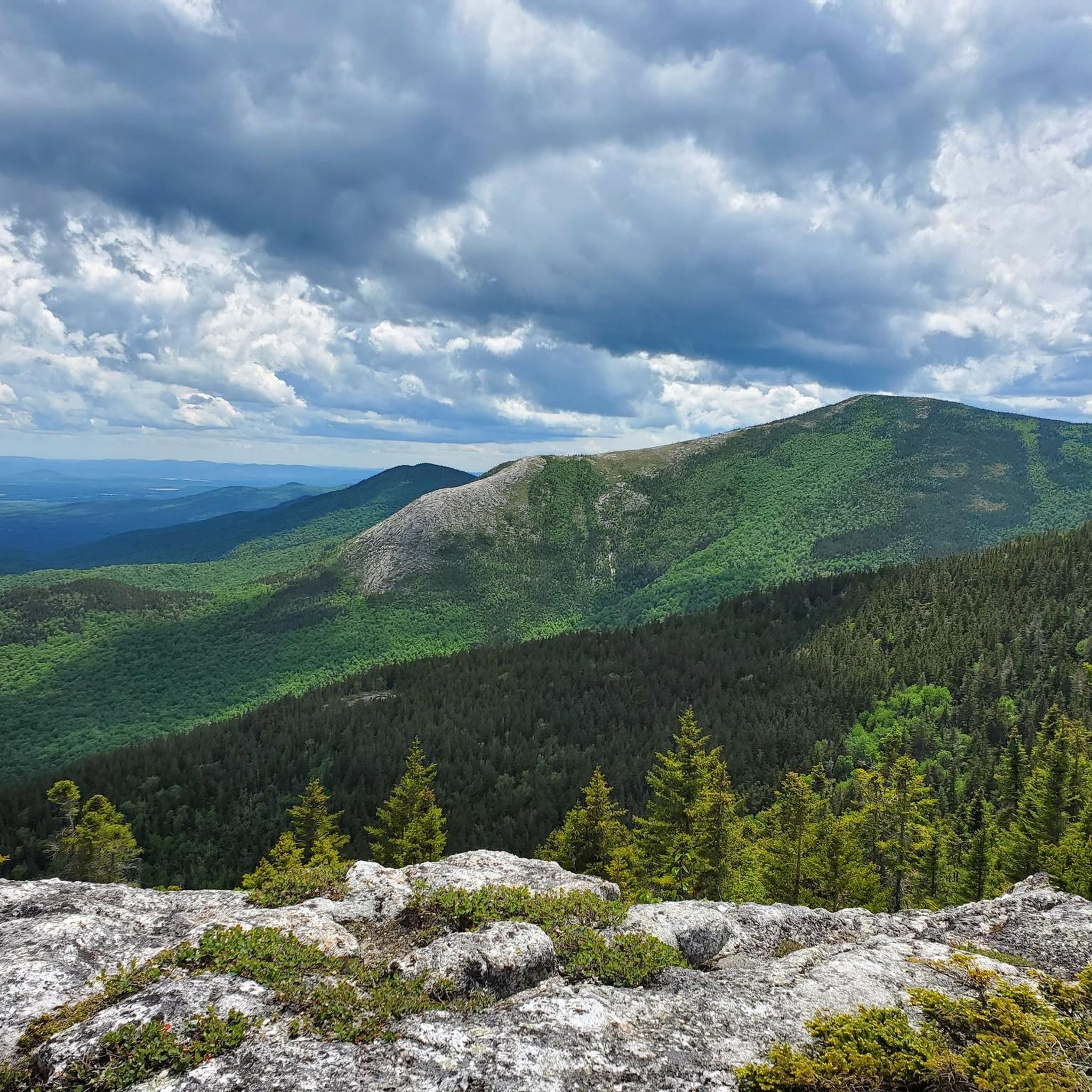
At an elevation of 3,203 feet, West Royce Mountain is almost 100 feet higher than its eastern counterpart. This high point looks down into the river valleys on both sides of the ridge and connects to both the Royce Trail and Basin Rim Trail.
0
0
Hermit Falls is a small waterfall off of the Basin Trail just north of Basin Brook Reservoir. The falls are stronger in the spring and after recent rains, but there is always some sort of flow present. There is a creek beside the entire trail up to this point, and there is a small pool of water at the base of the falls.
0
0
Basin Brook Reservoir is right outside of Basin Pond Campground and can be seen along the beginning of the Basin Trail. The reservoir is popular for fishing, but it remains a pretty quiet reservoir and is a good spot to see wildlife.
0
0
At 2,782 feet, Mount Meader isn't the tallest mountain in the area, but it still offers a few window views through the trees and offers a real wilderness experience. The trails leading to the peak are primitive, rugged, steep, and not traveled a ton. That being said, the peak is worth visiting and is often combined with other nearby summits.
0
0
In total, Brickett Falls is 60 feet tall. It consists of a number of stairstep cascades that fall down into a still pool of water at the bottom. There is a short spur trail off of the main Mount Meader Trail that lead to the falls that flow year round.
0
0
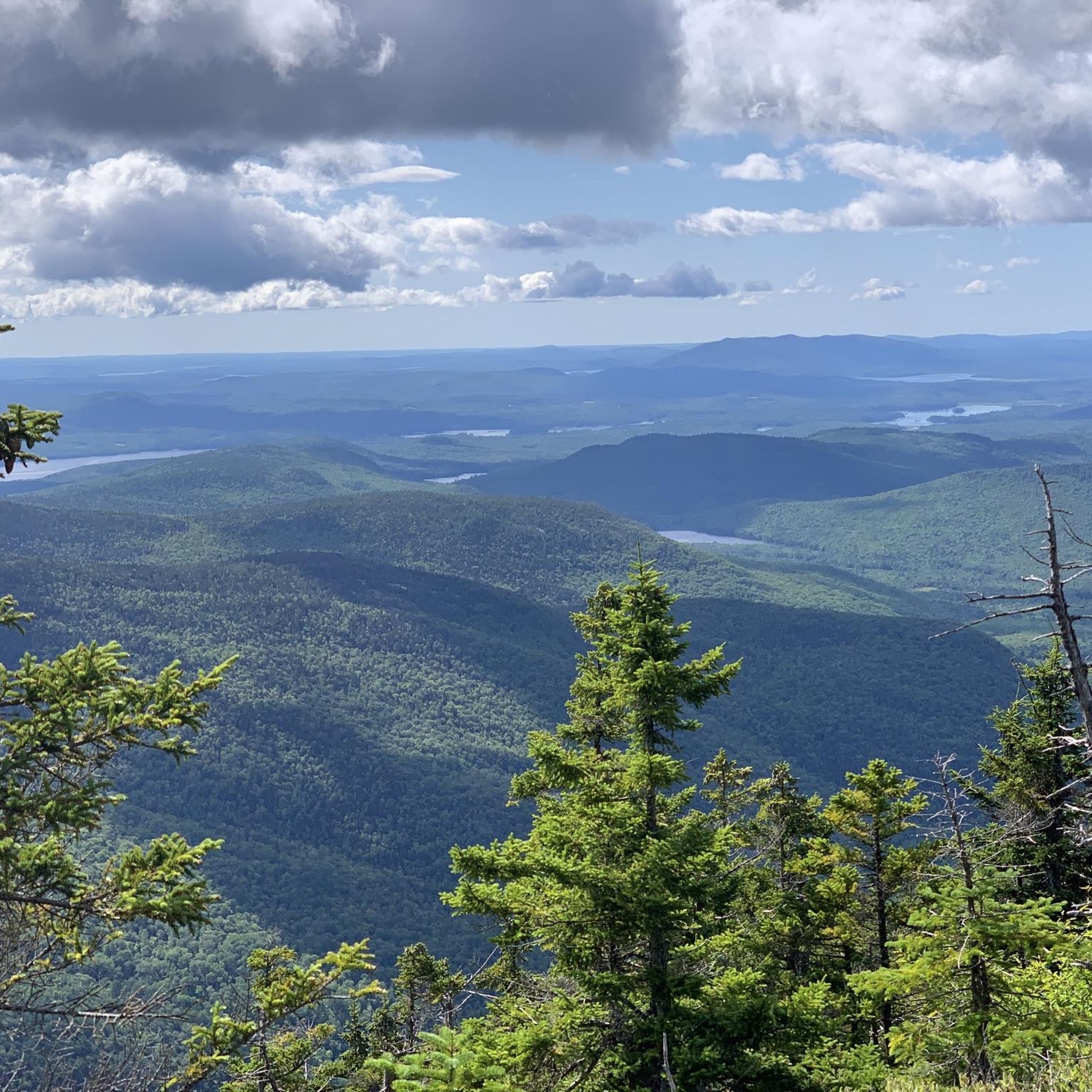
At 4,832 feet, Carter Dome is the ninth-tallest mountain in New Hampshire. The views from the summit are mostly blocked by trees, but the trails, ridges, and nearby summits offer awesome views. This peak is absolutely worth checking off your list if you are in the vicinity.
0
0
At 4,675 feet, Mount Hight is a towering summit, but it is not considered an "official" 4,000-foot summit since the saddle between the peak and the summit of Carter Dome does not have a big enough elevation difference. There are basically endless views from the top of this rocky peak.
0
0
Frequently Asked Questions
How many running routes are available in Wild River Wilderness?
Wild River Wilderness offers a wide variety of running experiences, with over 40 routes available. These range from easy riverside paths to challenging mountain ascents, catering to different fitness levels.
Are there any easy jogging routes suitable for beginners or a relaxed run?
Yes, for a relaxed run, the Basin Trail is an excellent choice. It's a 2.7-mile (4.3 km) easy path with a gentle gradient, perfect for a leisurely jog along the river. The Wild River Trail, mentioned in regional research, also follows an old railroad grade, making it a relatively gentle option.
What are the more challenging trails for experienced trail runners?
For those seeking a challenge, routes like the Mount Meader and Basin Rim Trail Loop offer a more strenuous experience. This 7.2-mile (11.6 km) trail leads through dense forest and along mountain ridges. Another demanding option is the Carter Dome and Black Angel Trail Loop, which covers over 31 km with significant elevation gain.
Can I bring my dog on the jogging trails in Wild River Wilderness?
Wild River Wilderness, being part of the White Mountain National Forest, generally welcomes dogs on trails. However, it's always best to keep your dog on a leash and practice Leave No Trace principles to protect the wildlife and natural environment.
Are there any loop trails for running in the area?
Absolutely! The Mount Meader and Basin Rim Trail Loop is a popular 7.2-mile (11.6 km) option that provides a varied running experience through forest and along ridges. Another challenging loop is the Royce Trail and Burnt Mill Brook Trail Loop.
What kind of views can I expect while running in Wild River Wilderness?
The region offers diverse scenery. Lower elevation routes, like those along the Wild River, provide serene riverside views amidst hardwoods. Higher trails, such as those ascending to Mount Hight (though more strenuous), can reward runners with panoramic 360-degree views of the Presidential Range and subalpine vegetation. The forest cover transitions from maple and oak to spruce and fir, offering varied arboreal landscapes.
What is the best time of year to go running in Wild River Wilderness?
The best time for running generally spans from late spring through early fall when trails are clear of snow and ice. Autumn offers spectacular foliage, while summer provides lush greenery. Be aware that conditions can change rapidly, especially at higher elevations, so always check weather forecasts.
Are there any family-friendly running paths in Wild River Wilderness?
For families looking for a gentle outing, the Basin Trail is an excellent choice due to its easy gradient and relatively short distance. It allows for a pleasant run or walk for all ages along the river.
Where can I park when visiting Wild River Wilderness for a run?
The Wild River Campground, located at the end of a 5½-mile dirt road, serves as a primary access point to the wilderness and provides parking for trail access. Specific trailheads may also have designated parking areas.
What kind of wildlife might I encounter while jogging?
Wild River Wilderness is home to abundant wildlife. You might spot larger mammals like moose, black bears, and white-tailed deer, especially in the forested areas. Pine martens, red squirrels, and snowshoe hares are also common, particularly at higher elevations. Always maintain a respectful distance and be aware of your surroundings.
What do other runners enjoy most about jogging in Wild River Wilderness?
The area is highly rated by the komoot community, with an average score of 5.0 stars. Runners often praise the diverse natural experience, from gentle riverside paths to challenging mountain ascents, and the opportunity to immerse themselves in the rugged beauty of the White Mountain National Forest.
Are there any historical points of interest along the running routes?
Yes, the Wild River Wilderness has a rich history. The Wild River Trail itself follows an old railroad grade, a remnant of the region's logging era. Throughout the wilderness, you can find scattered artifacts from this period, offering glimpses into the past and the forest's remarkable resilience.
Most popular routes in Wild River Wilderness

Get inspired with the komoot mobile app


Explore more
Browse the best Running Trails & Routes in other regions.
