The best running trails in Saint Mary'S Wilderness
9
runners
2
runs
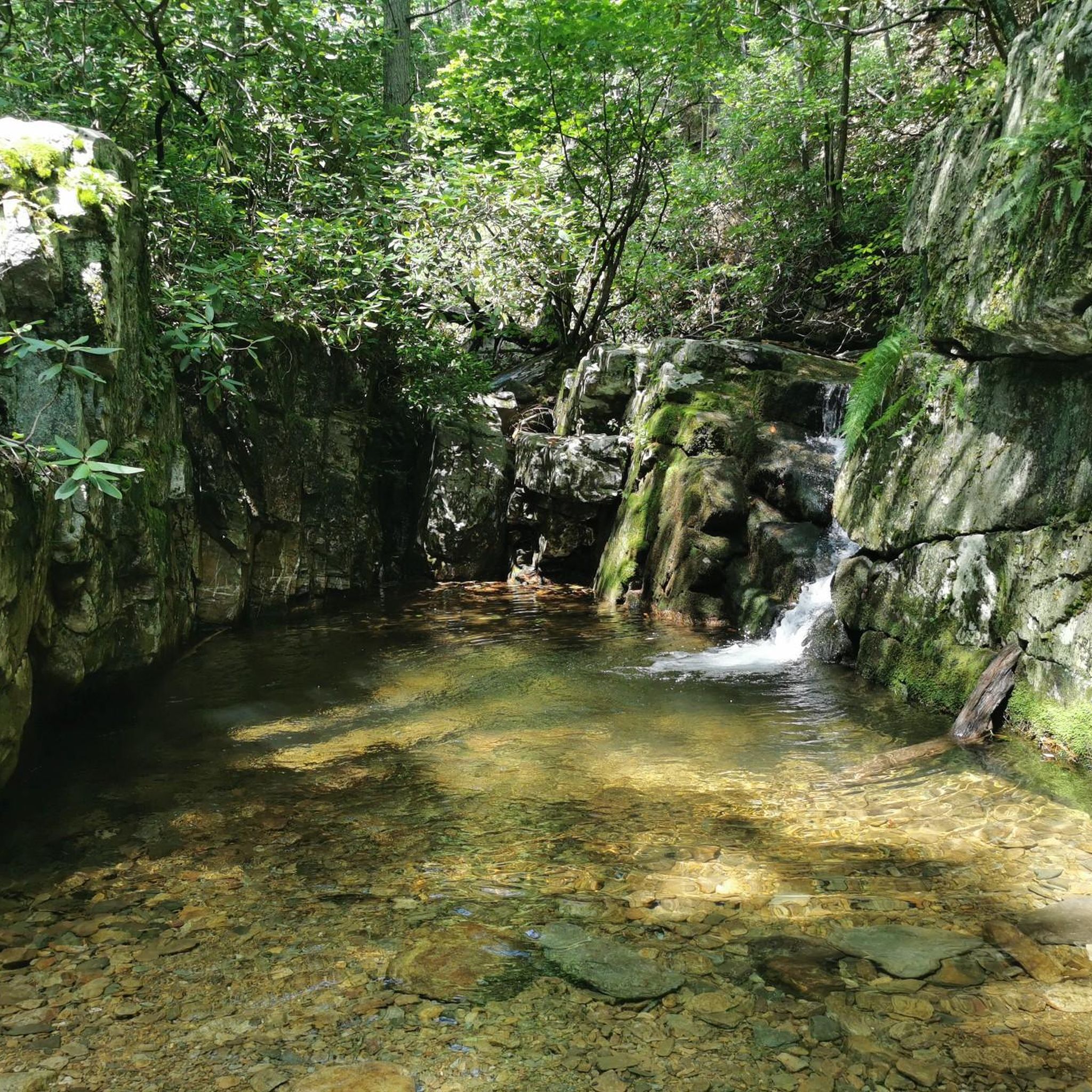
Jogging in Saint Mary'S Wilderness offers a challenging experience across a rugged and scenic landscape. This federally designated wilderness area is characterized by steep ridges, narrow valleys, and the prominent Saint Mary's River, which carves through hard sandstone. Elevations range from 1,700 to 3,640 feet, providing varied terrain for runners. The area features mixed hardwood forests, cascading waterfalls, and numerous stream crossings, making for an immersive trail running environment.
Best jogging routes in Saint Mary'S Wilderness
- The most popular jogging…
Last updated: June 24, 2026
3
runners
19.8km
02:31
540m
540m
Hard run. Very good fitness required. Mostly accessible paths. Some sure footedness required.
2
runners
13.2km
01:47
380m
380m
Hard run. Very good fitness required. Mostly paved surfaces. Suitable for all skill levels.

Sign up for free
4
runners
5.85km
00:41
190m
190m
Moderate run. Good fitness required. Mostly paved surfaces. Suitable for all skill levels.
Our route recommendations are based on thousands of hikes, rides, and runs completed by other people on komoot.
Start today with a free account
Your next adventure awaits.
Login or Signup
Popular around Saint Mary'S Wilderness

Tips from the Community

The Slacks Overlook Trail peers over the 20-minute Cliff area on the Blue Ridge Parkway. There are great views of the Copelands Rocks to the south and Upper Sherando Lake to the north.
0
0
Frequently Asked Questions
How many running routes are available in Saint Mary's Wilderness?
Komoot currently features 4 diverse running routes in Saint Mary's Wilderness. These trails offer a range of experiences, from moderate to difficult, catering to different fitness levels.
What is the general difficulty level for running trails in Saint Mary's Wilderness?
Jogging in Saint Mary's Wilderness is generally considered challenging. The terrain is rugged, featuring steep ridges, narrow valleys, and often includes steep climbs, rocky sections, roots, and uneven surfaces. Many routes are rated as 'difficult' due to significant elevation changes and technical footing.
What kind of terrain can I expect on jogging routes in Saint Mary's Wilderness?
You can expect a rugged and varied terrain. The wilderness is characterized by steep ridges, narrow valleys, and the prominent Saint Mary's River. Trails often involve rocky sections, roots, and uneven ground. Be prepared for multiple stream crossings, especially on routes that follow the Saint Mary's River, and wear sturdy footwear.
Are there any waterfalls or scenic viewpoints along the running trails?
Yes, Saint Mary's Wilderness is known for its natural beauty, including cascading waterfalls and scenic overlooks. The notable Saint Mary's Falls features a fifteen-foot drop and a deep plunge pool. You can also find rewarding views at rocky overlooks and across valleys to the Allegheny Front from points like Big Spy Mountain and Little Spy Mountain.
Can I expect to see wildlife while jogging in Saint Mary's Wilderness?
Absolutely. The diverse forests and ecosystems of Saint Mary's Wilderness support a rich variety of flora and fauna. You might encounter black bears, white-tailed deer, and various bird species, offering a unique wildlife observation experience during your run.
Are there any circular running routes in Saint Mary's Wilderness?
Yes, several routes offer a loop experience. For example, you can try the challenging Running loop from Russell Rock, which covers 12.3 miles. Another option is the difficult Slacks Overlook Trail loop from South River Number 27 Dam, or the shorter, difficult Sherando Loop overlook loop from Sherando Dam.
Is Saint Mary's Wilderness suitable for family jogging?
Due to its designation as a wilderness area, many trails in Saint Mary's are rugged and challenging, featuring steep climbs and uneven terrain. While older, experienced families might enjoy the adventure, it may not be ideal for younger children or those new to trail running. Always check the specific route's difficulty before heading out.
What are the parking options for accessing jogging trails in Saint Mary's Wilderness?
Parking is typically available at trailheads or designated access points around the wilderness area. For instance, the Turkey Pen Forest Road loop from B&R Grocery starts near a local store, which may offer parking. It's advisable to research specific trailhead parking details before your visit, as cell service can be limited.
Are dogs allowed on the running trails in Saint Mary's Wilderness?
As part of the George Washington and Jefferson National Forests, Saint Mary's Wilderness generally allows dogs on trails, but they must be kept on a leash. Given the remote and rugged nature of the area, and the presence of wildlife, keeping your dog under control is essential for their safety and the preservation of the wilderness.
What is the best time of year for trail running in Saint Mary's Wilderness?
The wilderness offers unique experiences year-round. Spring brings lush greenery and blooming wildflowers, while autumn showcases vibrant fall foliage, making these seasons particularly scenic. Summer can be warm and humid, but the shaded forests provide some relief. Winter running is possible but requires preparedness for colder temperatures and potentially icy conditions, especially near waterfalls and stream crossings.
What should I be aware of regarding trail conditions and navigation?
Trails in Saint Mary's Wilderness are known for being rugged and can have poor or non-existent markers in some areas. This requires careful navigation, so bringing a map, compass, or a reliable GPS device (like komoot's offline maps) is highly recommended. Be prepared for multiple stream crossings, which can be challenging after heavy rains, and limited to no cell service.
Are there any moderate running routes for those looking for a less strenuous experience?
While many routes are challenging, there are options for a more moderate experience. The Turkey Pen Forest Road loop from B&R Grocery is a 6.1-mile route rated as moderate, offering a less strenuous option. Another moderate choice is the Devil's Knob Overlook loop from Wintergreen, which is 3.6 miles long.
Most popular routes in Saint Mary'S Wilderness

Get inspired with the komoot mobile app


Explore more
Browse the best Running Trails & Routes in other regions.
