The best running trails in Pusch Ridge Wilderness
5.0
(10)
983
runners
97
runs
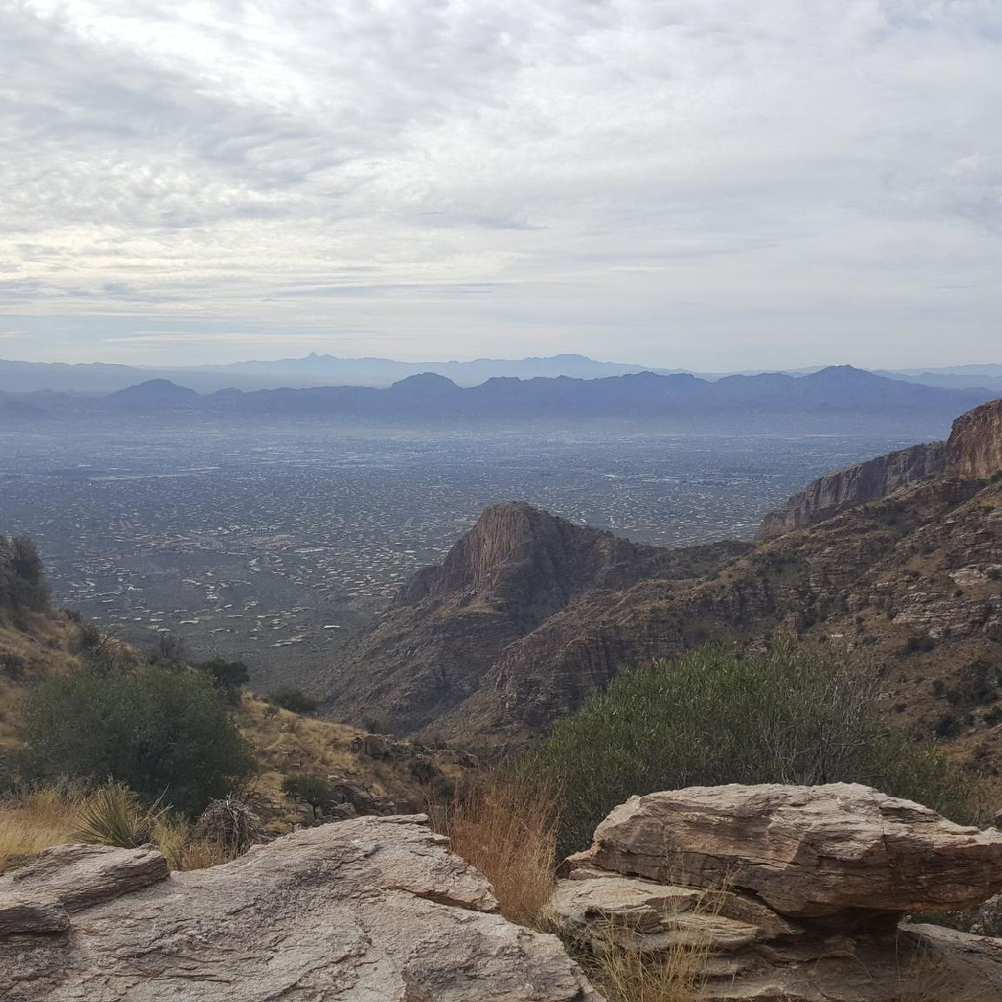
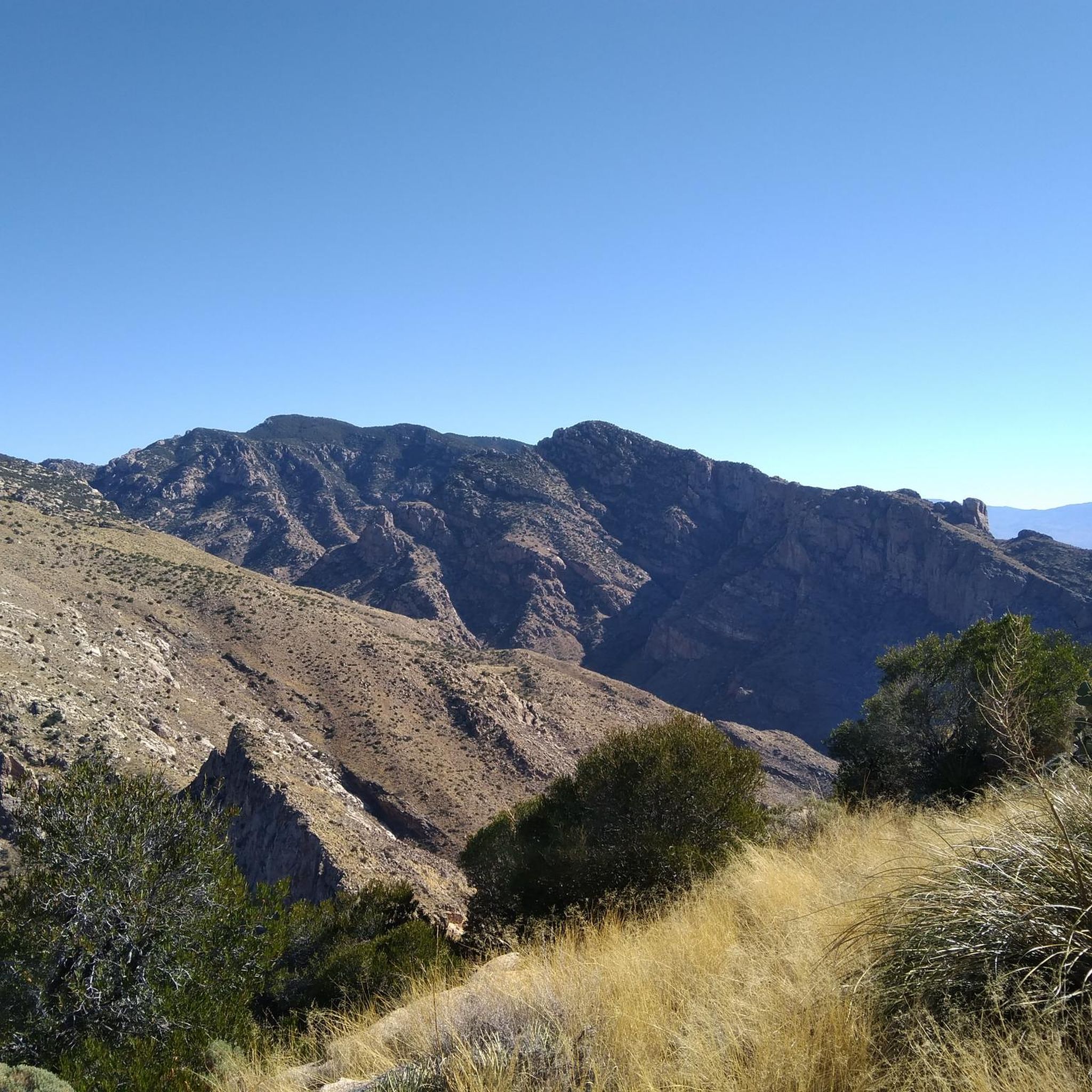
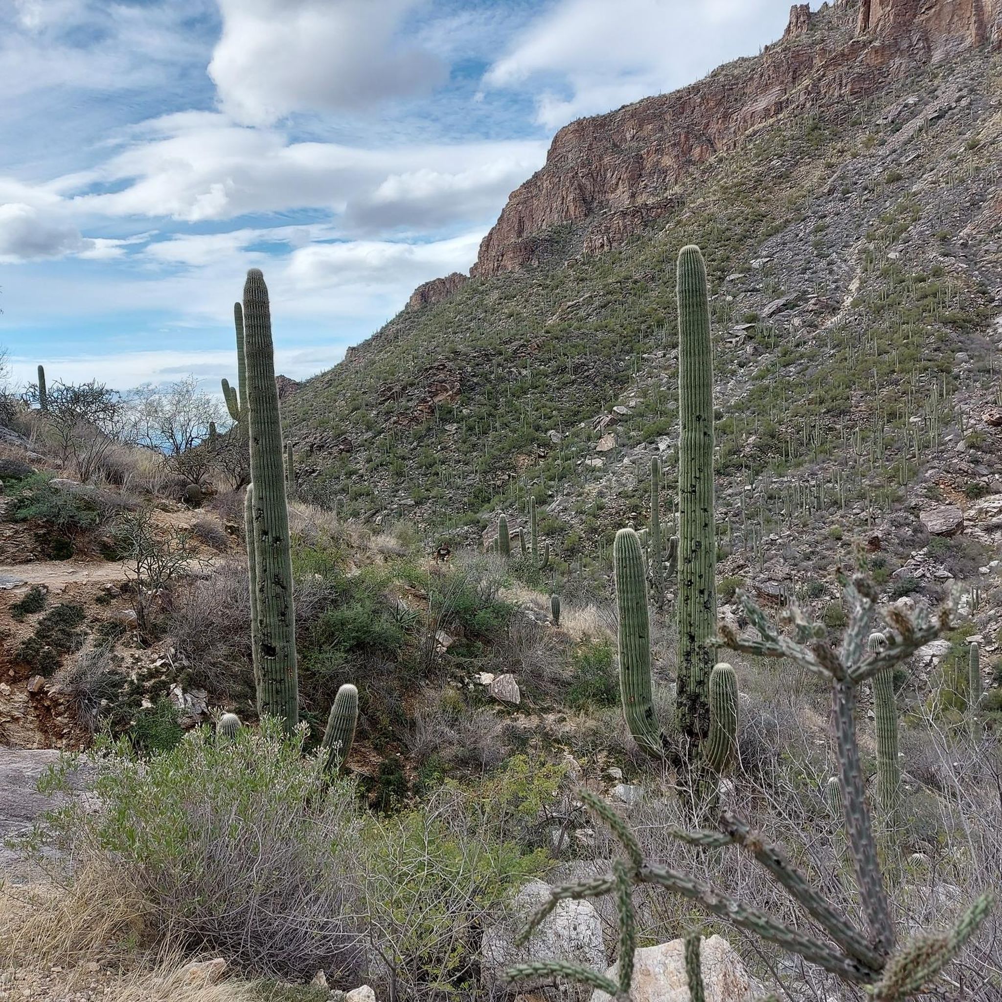
Jogging in Pusch Ridge Wilderness provides access to a diverse landscape, characterized by elevations ranging from 2,800 to 8,800 feet. The terrain transitions from lower desert slopes with saguaro cacti to juniper-pinyon-oak woodlands and higher elevation pine forests. This rugged region, part of the Santa Catalina Mountains, features prominent peaks like Marshall Peak and Pusch Peak, alongside riparian forest canyons.
Best jogging routes in Pusch Ridge Wilderness
- The most popular jogging route is Soldier Trail, a 5.6 miles (9.0…
Last updated: June 28, 2026
2
runners
8.98km
01:28
550m
550m
Jog the difficult 5.6-mile Soldier Trail in Pusch Ridge Wilderness, gaining 1794 feet in elevation through diverse Sonoran Desert landscapes
15
runners
4.75km
00:33
80m
90m
Hard run. Great for any fitness level. Sure-footedness, sturdy shoes and alpine experience required.

Sign up for free
4
runners
Moderate run. Good fitness required. Mostly paved surfaces. Suitable for all skill levels.
8
runners
6.45km
00:54
180m
190m
Hard run. Good fitness required. Sure-footedness, sturdy shoes and alpine experience required.
5
runners
13.9km
01:57
600m
600m
Hard run. Very good fitness required. Mostly accessible paths. Some sure footedness required.
Get access to more routes and recommendations from other explorers.
Sign up for free
Already have an account?
Our route recommendations are based on thousands of hikes, rides, and runs completed by other people on komoot.
Start today with a free account
Your next adventure awaits.
Login or Signup

Tips from the Community

There a set times when you can and cannot use a bicycle to tour the caynon. They are strict times, and change frequently. Their website holds all the details.
0
0

A local favorite, maybe because it's not as known as other trails in the area. The trail has a pretty loose surface all along and the first (quarter) mile is no joke! It is very steep in the beginning. The view over the straight Soldier Trail (the road) crossing the entirety of Tucson is pretty cool!
0
0

The canyon is beautiful and prone to waterfalls if you visit at the right time of the year. Here there are some quite dramatic rock formations dubbed Jailhouse Rock, Mr. Meanor & Alcatraz that are used as both climbing walls and scenic destinations.
1
0

The Cañada del Oro River Trail offers over 4 miles of paved, dual lane, multi-use trail along the Cañada del Oro River Wash. The views of the mountains surrounding the trail are stunning, just be sure to keep an eye out for other trail users.
0
0

The mountain views here are sublime with extensive panoramic views of Sabino Canyon. The cacti are impressively tall here!
0
0
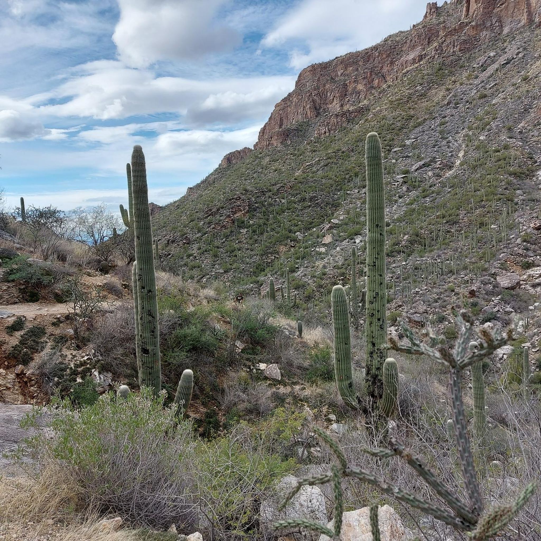
The mountain views here are sublime with extensive panoramic views of Sabino Canyon. The cacti are impressively tall here!
1
0

Instead of following the big trail, just take bear canyon trail and start to enjoy the wilderness from the start. This crossing must be avoided when the water level is high.
0
0

Linda Vista Trail is a popular loop trail in the Pusch Ridge Wilderness. As you walk along it you will find cacti and other desert vegetation. It is located in the Bighorn Sheep Management Area which means no dogs are allowed on the trail.
1
0
Frequently Asked Questions
What kind of terrain can I expect on the running trails in Pusch Ridge Wilderness?
The Pusch Ridge Wilderness offers a highly varied landscape for runners. You'll find everything from lower desert slopes adorned with saguaro cacti to juniper-pinyon-oak woodlands, and even higher elevation pine and Douglas-fir forests. The terrain includes flat sections, undulating paths, and challenging, steep ascents leading to mountain summits, providing a diverse experience for all fitness levels.
Are there any easy or beginner-friendly running routes in Pusch Ridge Wilderness?
Yes, while many routes are challenging, there are options suitable for beginners. Out of nearly 100 routes, 7 are classified as easy. For a moderate option with sweeping valley views, consider the Linda Vista Trailhead – Cañada del Oro River Trail loop from Canyon del Oro High School, which is 7.3 miles long and has minimal elevation gain.
What are some notable natural features or viewpoints I can see while jogging in the Pusch Ridge Wilderness?
The wilderness is rich with natural attractions. You might encounter unique features like the Maiden Pools, which are small indentations of sitting water, or the stunning Seven Falls, where Bear Creek cascades over stone steps. Many trails, such as the Bear Canyon Trail, offer awesome views of the canyons, and higher vantage points provide clear views over Tucson and the surrounding desert.
Are there any loop running trails in Pusch Ridge Wilderness?
Yes, there are several loop options for runners. A popular choice is the Sabino Canyon Road – Sabino Canyon Road loop from Sabino Creek, a difficult 3.0-mile path that explores unique riparian forest canyons. Another option is the Linda Vista Trailhead – Cañada del Oro River Trail loop from Canyon del Oro High School, which is a moderate 7.3-mile route.
What do other runners enjoy most about the trails in Pusch Ridge Wilderness?
The running routes in Pusch Ridge Wilderness are highly rated by the komoot community, with an average score of 5.0 stars from over 10 reviews. Runners frequently praise the diverse ecosystems, varied elevations, and spectacular views, especially from challenging routes like Soldier Trail, which offers significant elevation gain through rugged mountain terrain.
Can I bring my dog on the running trails in Pusch Ridge Wilderness?
While some areas may permit dogs, it's important to note that dogs are prohibited in the Bighorn Sheep Management Area within Pusch Ridge Wilderness. Always check specific trail regulations before heading out with your pet, as restrictions are in place to protect wildlife.
Are there any specific considerations for running in Pusch Ridge Wilderness during certain seasons?
Yes, seasonal considerations are important. Water can be scarce, especially during warmer months, so carrying sufficient hydration is crucial. Additionally, there's a bighorn sheep lambing season closure from January 1st to April 30th, during which traveling more than 400 feet off designated Forest Service system trails is prohibited in certain areas.
What are the typical distances and durations for running routes in this area?
The running routes in Pusch Ridge Wilderness vary significantly in length and duration. You can find shorter paths like the 3.0-mile Sabino Canyon Road – Sabino Canyon Road loop from Sabino Creek, which takes about 33 minutes. Longer, more challenging routes, such as the 8.3-mile Running loop from Mount Lemmon, can take over 2 hours to complete.
Where can I find parking for the running trails in Pusch Ridge Wilderness?
Trailheads for the Pusch Ridge Wilderness are generally accessible from the north end of Tucson. You can find entry points along Catalina Highway and through Catalina State Park on the western side. Specific parking information is usually available at the individual trailhead locations.
Are there any particularly challenging running routes for experienced trail runners?
Absolutely. Pusch Ridge Wilderness is known for its challenging climbs. Trails like the Pusch Peak Trail are renowned for steep grades, with ascents of over 2,600 feet in just two miles, offering a significant physical challenge. The Finger Rock Trailhead – Creek Crossing loop from Pontatoc Mine is another difficult 6.7-mile route with substantial elevation gain.
What kind of wildlife might I encounter on the running trails?
The diverse ecosystems of Pusch Ridge Wilderness support a variety of wildlife. While specific sightings are never guaranteed, you might encounter desert fauna such as javelina, deer, and various bird species. Remember to maintain a respectful distance and observe wildlife from afar.
Most popular routes in Pusch Ridge Wilderness
Most popular attractions in Pusch Ridge Wilderness

Get inspired with the komoot mobile app


Explore more
Browse the best Running Trails & Routes in other regions.
