The best running trails in Ptarmigan Peak Wilderness
4.9
(6)
635
runners
92
runs
Jogging in Ptarmigan Peak Wilderness offers diverse landscapes and challenging terrain for runners. This wilderness area, located in the Williams Fork Mountains, features elevations ranging from approximately 8,600 feet to over 12,500 feet at the summit of Ptarmigan Peak. The landscape transitions from lower-elevation sagebrush meadows and aspen groves to dense lodgepole pine and spruce forests, culminating in alpine tundra above the tree line. Runners can experience varied surfaces and expansive views across this ecologically rich environment.
Best jogging routes…
Last updated: June 29, 2026
4
runners
20.0km
02:33
710m
710m
Hard run. Very good fitness required. Mostly paved surfaces. Suitable for all skill levels.
4
runners
4.85km
00:39
190m
180m
Moderate run. Good fitness required. Mostly paved surfaces. Suitable for all skill levels.

Sign up for free
10.9km
01:24
240m
240m
Moderate run. Good fitness required. Mostly paved surfaces. Suitable for all skill levels.
2
runners
15.3km
02:40
1,090m
1,090m
Hard run. Very good fitness required. Mostly paved surfaces. Suitable for all skill levels.
9
runners
8.51km
00:55
110m
110m
Moderate run. Good fitness required. Mostly paved surfaces. Suitable for all skill levels.
Get access to more routes and recommendations from other explorers.
Sign up for free
Already have an account?
Our route recommendations are based on thousands of hikes, rides, and runs completed by other people on komoot.
Start today with a free account
Your next adventure awaits.
Login or Signup
Popular around Ptarmigan Peak Wilderness
Tips from the Community

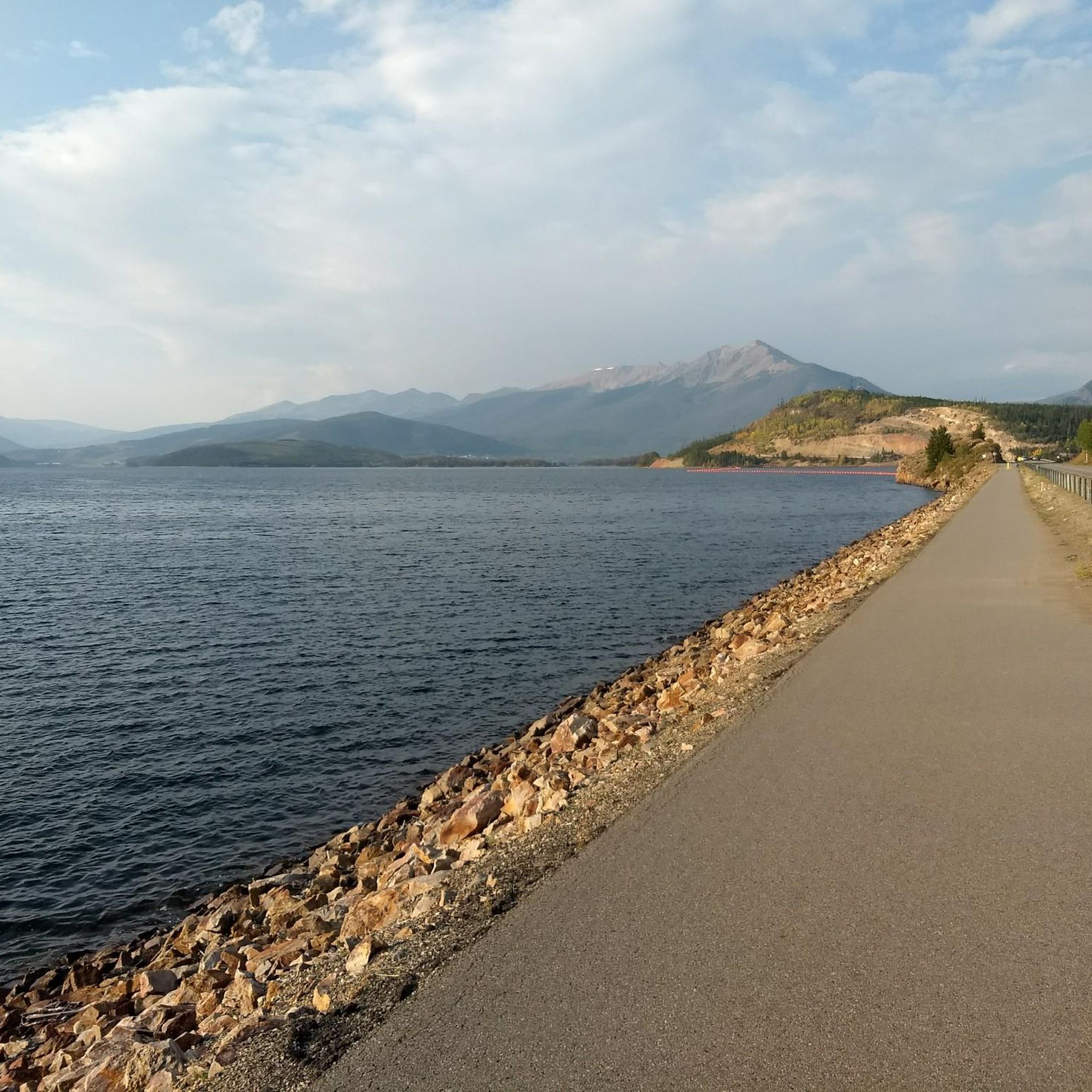
The Tenderfoot trail system offers a great ride for mountain bikers, with shared access for hikers and runners. This spot has some of the best views along the trail of Tenderfoot Mountain area, overlooking Lake Dillon, Frisco, and Silverthorne.
0
0

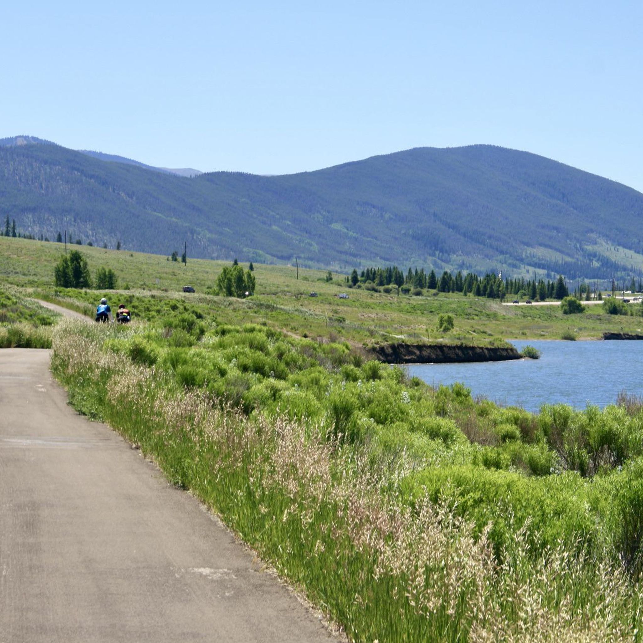
The Silverthorne Blue River Trail helps to connect the entire town of Silverthorne to the shops, outlets, and restaurants it provides. The path is completely paved and crosses several roads. There are bridges, tunnels, and an ever present stream over the course of the trail.
0
0
The lower trails at Tender Mountain offer easy singletrack with rewarding views over Lake Dillon. The trails get harder the further you head up the mountain, but some of the best views are at the lower clearings.
0
0
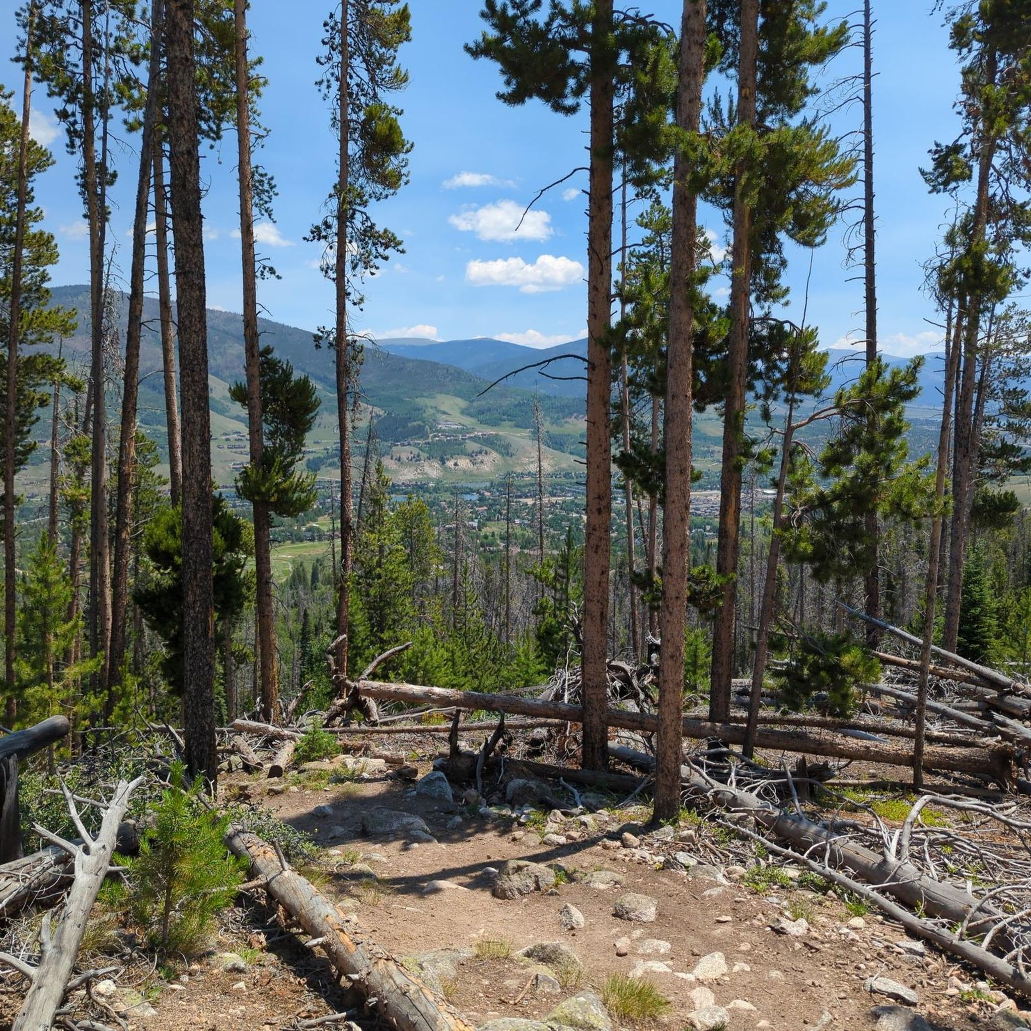
The Tenderfoot trail system is open to hikers, bikers, and trail runners. As you climb higher on the mountain, you start to branch into OHV trail terrain; this spot on the path is before leaving the foot/bike travel trail and offers some of the best views from the Tenderfoot Mountain area overlooking Lake Dillon, Frisco, and Silverthorne.
0
0
One of the lesser visited peaks in the area, Tenderfoot Mountain offers quiet forest walking (except when being passed by ATVs on the upper trails). The summit is usually clear of snow by mid to late June and offers a great challenge. If you are on the run for the views, the lower trails on Tenderfoot Mountain offer better overlooks.
0
0
What's left of an old, dirt road leaves sweet double-track paralleling Interstate 70. There are creek crossings, loose rock gardens, and smooth dirt trails along the path. The trail continues past the small pond next to the interstate, but it is much less used than the half of the trail closer to Silverthorne.
0
0
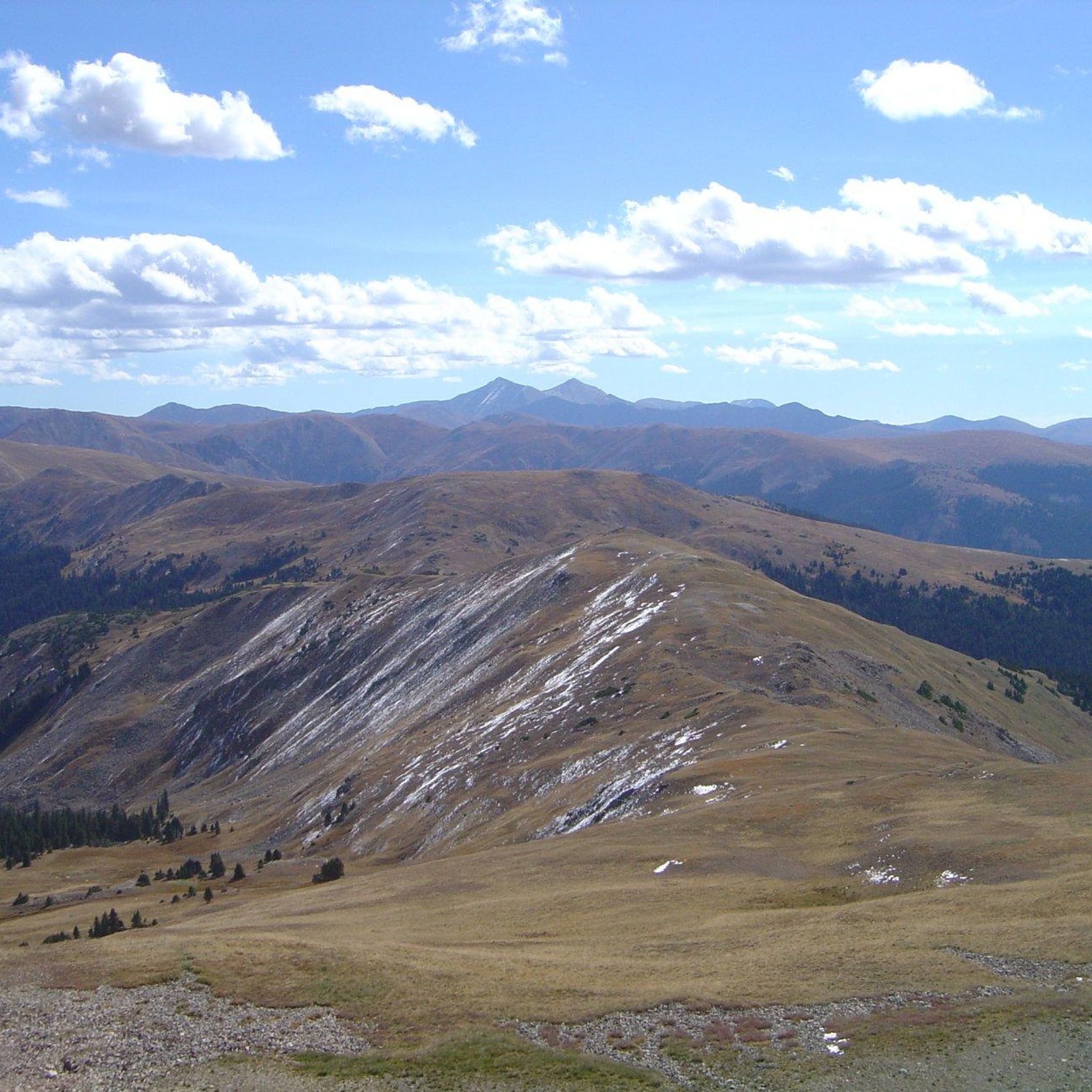
Ute Peak is a 12,303 foot mountain summit in the Ptarmigan Peak Wilderness north of Silverthorne, Colorado. The peak is above treeline, and the final approach from either side of the ridge is a very faint trail in places (sometimes just following rock cairns). The summit offers 360 degree views of four different wilderness areas.
0
0
Ute Peak is a 12,303 foot mountain summit in the Ptarmigan Peak Wilderness north of Silverthorne, Colorado. The peak is above treeline, and the final approach from either side of the ridge is a very faint trail in places (sometimes just following rock cairns). The summit offers 360 degree views of four different wilderness areas.
0
0
Frequently Asked Questions
How many running routes are available in Ptarmigan Peak Wilderness?
There are nearly 90 running routes available in Ptarmigan Peak Wilderness. These routes offer a variety of experiences, from moderate loops to challenging ascents, catering to different skill levels.
Are there challenging running routes for experienced runners in the area?
Yes, Ptarmigan Peak Wilderness offers 32 difficult running routes. Many of these feature significant elevation gains and traverse alpine ridgelines, providing strenuous workouts and spectacular views. For example, the Ute Peak via Acorn Creek Trail is a challenging 9.5-mile path with over 3,500 feet of elevation gain.
What kind of terrain can I expect on the jogging trails?
The terrain in Ptarmigan Peak Wilderness is highly varied. You'll encounter everything from lower-elevation sagebrush meadows and aspen groves to dense lodgepole pine and spruce forests. Higher up, trails transition to alpine tundra, offering diverse running surfaces and ecological zones. The area also includes portions affected by the 2021 fire, showcasing unique recovery landscapes.
Are there any easy or moderate jogging routes suitable for beginners?
Yes, there are 9 easy and 46 moderate jogging routes available. These trails often feature less extreme elevation changes and can be a great way to experience the wilderness. A good example of a moderate route is the Blue River Trail loop from Dillon, which is 5.3 miles long and leads through scenic river valleys.
Can I bring my dog on the running trails in Ptarmigan Peak Wilderness?
Yes, dogs are welcome on the trails in Ptarmigan Peak Wilderness. However, to protect the local wildlife and ensure a pleasant experience for all users, dogs must be kept on a leash at all times.
What kind of views and natural features can I expect to see while running?
Runners are rewarded with panoramic vistas of the Gore Range, Tenmile Range, the lower Blue River Valley, Dillon Reservoir, and the Continental Divide. The diverse landscape includes wildflower meadows, especially in spring and summer, and opportunities to observe ecological recovery in fire-affected areas. You might also spot wildlife like elk, ptarmigan, and various bird species.
Are there any loop trails for running in the wilderness?
Yes, there are several loop trails available for runners. A popular option is the Tenderfoot Mountain Loop, which is a difficult 12.5-mile route offering significant elevation changes and panoramic vistas. Another moderate loop is the Blue River Trail loop from Dillon.
What is the best time of year to go jogging in Ptarmigan Peak Wilderness?
The wilderness offers year-round appeal, but the best time depends on your preference. Spring and summer bring vibrant alpine wildflowers and generally milder weather. Fall offers stunning foliage. While specific trail conditions vary by season, be prepared for strenuous outings and significant elevation gains, especially on higher trails, regardless of the time of year.
What do other runners enjoy most about jogging in Ptarmigan Peak Wilderness?
The area is highly rated by the komoot community, with an average score of 4.9 stars. Reviewers often praise the diverse landscapes, the challenging terrain that provides a great workout, and the opportunity for solitude compared to more crowded wilderness areas. The expansive views from higher elevations are also frequently highlighted.
Is there public transport or parking available near the trailheads?
While the region research mentions the wilderness is located north of Silverthorne, specific details about public transport directly to trailheads are not provided. It is generally recommended to plan for personal vehicle access. Parking is typically available at designated trailheads, but it's always advisable to check local regulations and availability before your visit, especially during peak seasons.
Are there opportunities for wildlife spotting while running?
Absolutely. Ptarmigan Peak Wilderness is home to resident elk herds, ptarmigan birds (known for their seasonal camouflage), black bears, mountain goats, and a variety of other bird species. Keeping an eye out, especially during quieter times of day, can offer rewarding wildlife observation opportunities during your run.
Most popular routes in Ptarmigan Peak Wilderness

Get inspired with the komoot mobile app


Explore more
Browse the best Running Trails & Routes in other regions.
