Attractions and Places To See in Lost Creek Wilderness - Top 11
Best attractions and places to see in Lost Creek Wilderness, a nearly 120,000-acre area within the Pike National Forest, are characterized by unique geological features. Elevated between 8,000 and 12,400 feet, the wilderness is known for its distinctive rounded granite domes, arches, and split boulders. This region offers extensive trail networks and natural beauty, setting it apart from other Colorado wilderness areas.
Best attractions and places to see in Lost Creek Wilderness
- The most popular attractions is Matukat Road,…
Last updated: June 29, 2026
North Twin Cone Peak
Highlight (Segment) • Summit
North Twin Cone Peak actually has a fairly difficult 4WD road all the way to the summit. The view from the …
Tip by

Colorado Trail (Segment 4)
Highlight (Segment) • Trail
Tip by

Sign up now to discover places like this
Get recommendations on the best single tracks, peaks, & plenty of other exciting outdoor places.
Sign up for free
Matukat Road
Highlight (Segment) • Trail
Tip by
Brookside-McCurdy Trail
Highlight (Segment) • Trail
Tip by

Lost Creek Wilderness Boundary
Highlight • Natural Monument
Tip by

Sign up for free to discover even more attractions in Lost Creek Wilderness.
Sign up for free
Already have an account?
Start today with a free account
Your next adventure awaits.
Login or Signup

Other adventures in Lost Creek Wilderness

Tips from the Community

There is a sign indicating the entrance and exit to the Lost Creek Wilderness area, and near this sign is a small trail registry with permits. Sign your information if you are considering dispersed camping in the wilderness area.
1
0

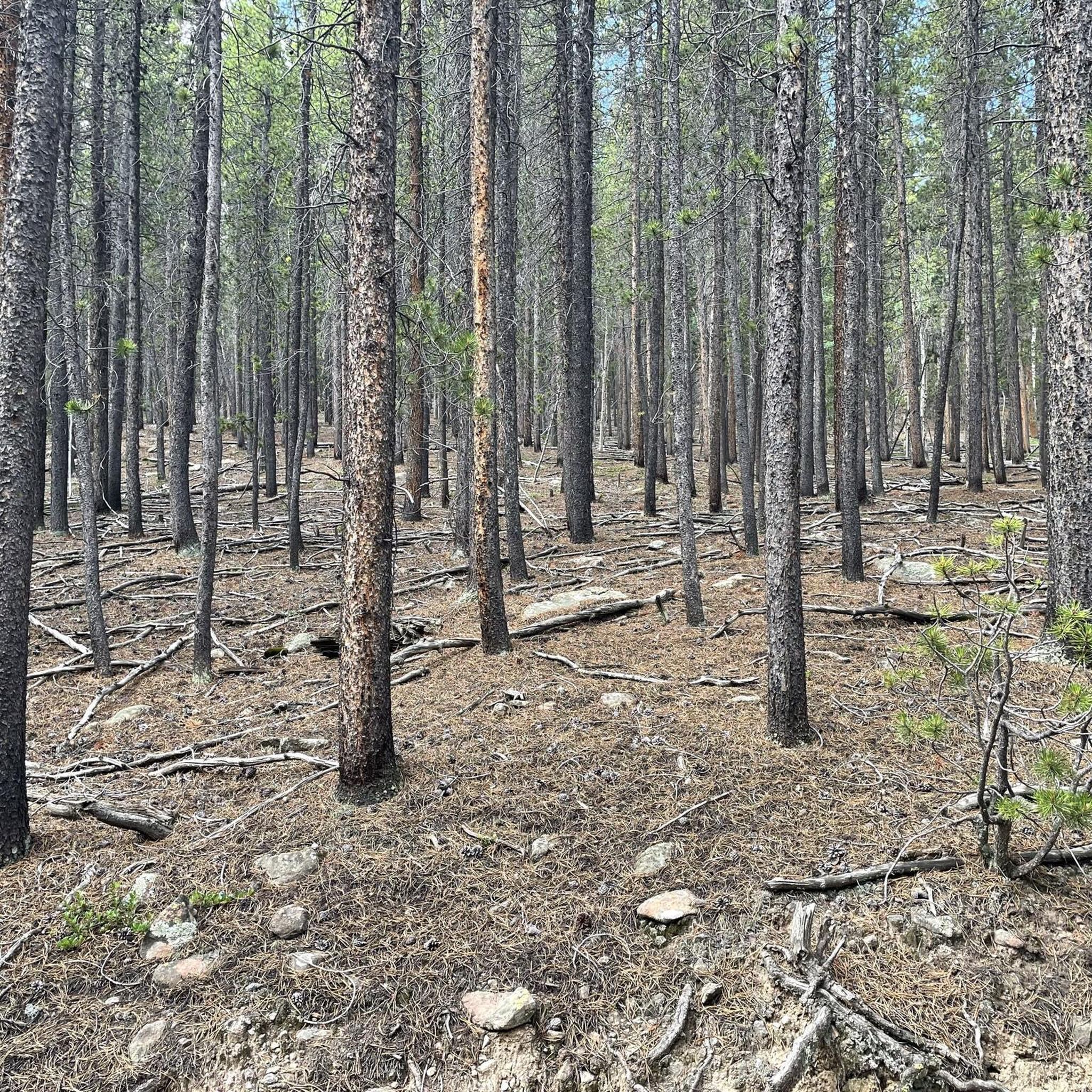
With Segment 4 of the Colorado Trail you gain or lose a lot of elevation - depending on your direction. It leads through the Lost Creek Wilderness, through nicely shaded forest and through an open valley.
2
0
At this point, you enter/leave the Lost Creek Wilderness.
1
1

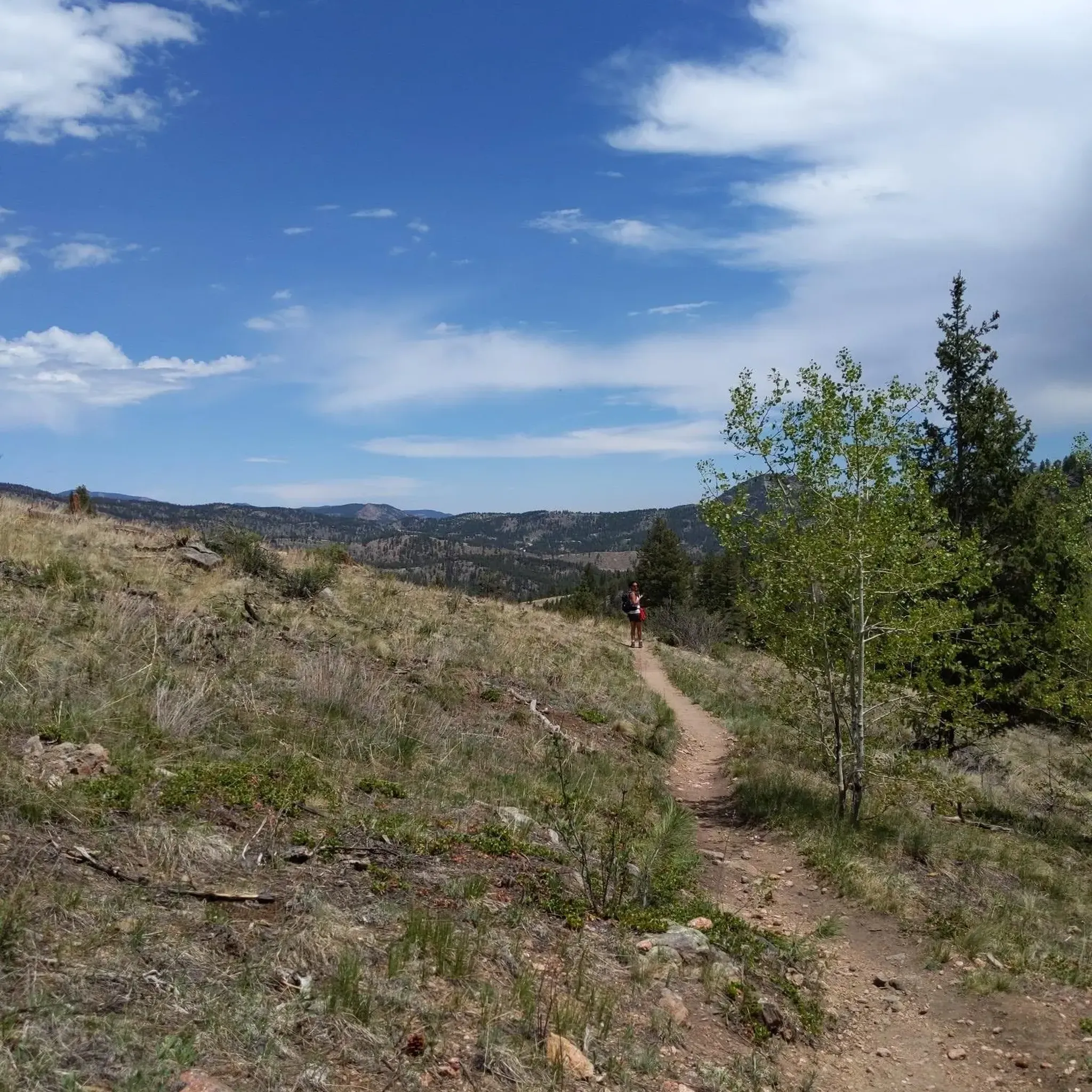
The Brookside-McCurdy Trail serves as the north-south connection of the middle portion of the Lost Creek Wilderness. The trail itself is steep and shall not be underestimated. It leads through different forest types, open parks and offers great views. Furthermore, there is a good chance to spot wildlife like deer, elk, and bighorn sheep.
0
0
The marked route is part of section 4 of the Colorado Trail. It starts at County Road 68 and leads into a western direction to the parking lot at North Fork Lost Creek. Most of the trail winds through beautiful forest.
0
0

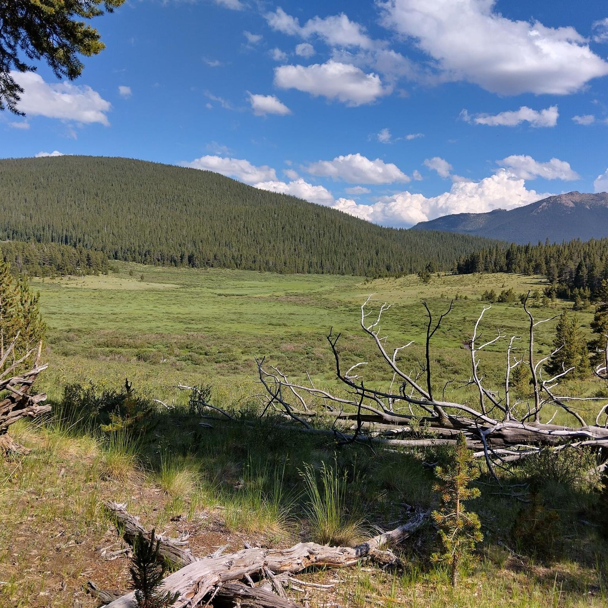
Matukat Road is a stunning gravel road that twists through the Lost Creek Wilderness. While navigating this road, you'll rarely be without a beautiful view. From the surrounding mountains to the vegetation, this is certainly one for the books.
0
0
It's one of the highest mountain roads of Colorado! North Twin Cone Peak actually has a fairly difficult 4WD road all the way to the summit. The view from the top is breathtaking. The trail is easy to follow since it’s a road, plus the gentle slopes on this hike are less prone to avalanche. The majority of the hike is up a south-facing slope so you will get the benefit of the sun all day long. A long and strenuous day in the winter will emerge if your starting point is at the first gate. A suggestion is to try and make it the second gate to park, but this jaunt can also be daunting in the winter. If you prefer solitude, bypass the area after the spring snowmelt, since it’s a popular area for 4WD and ATV enthusiast. During the winter, you will have the entire area to yourself.
0
0

Wonderful gravel riding with big views on the Colorado Trail.
1
0
Frequently Asked Questions
What are some popular trails for hiking in Lost Creek Wilderness?
The Lost Creek Wilderness offers a variety of popular trails. The Colorado Trail (Segment 4) leads through shaded forests and open valleys. Another key route is the Brookside-McCurdy Trail, which serves as a significant north-south connection through diverse forest types and open parks. For a unique experience, consider the Lower Goose Creek Trail to Shaft House, a popular day hike leading to historic mining remains. You can find more options for hiking in the region on the Hiking in Lost Creek Wilderness guide.
What unique natural features can I expect to see in Lost Creek Wilderness?
The wilderness is renowned for its distinctive geological formations. You'll encounter fascinating rounded granite domes, arches, and split boulders, which are considered among the most spectacular rock formations in the Rocky Mountains. The Matukat Road offers continuous views of these formations. A particularly unique feature is the Lost Creek itself, which famously disappears underground multiple times before resurfacing as Goose Creek.
Are there challenging routes for experienced hikers or backpackers?
Yes, the Lost Creek Wilderness provides several challenging options. North Twin Cone Peak offers a strenuous climb to its summit, accessible via a challenging 4WD road, with breathtaking high-altitude views. Bison Peak, the tallest in the wilderness, also presents a demanding ascent. For backpackers, the Refrigerator Gulch Loop is a long and challenging route, often exceeding 20 miles, taking you through aspen forests and granite formations. The Hiking in Lost Creek Wilderness guide lists difficult routes like the Brookside-McCurdy, McCurdy Park, Goose Creek, and Wigwam Loop.
What kind of wildlife can I spot in the Lost Creek Wilderness?
The Lost Creek Wilderness is home to a diverse array of wildlife. Visitors often have the chance to see black bears, bighorn sheep, deer, and elk. Bobcat sightings are also possible. The area was historically a refuge for American Bison, which inspired the name of Bison Peak.
Are there any family-friendly trails or activities in the area?
While many trails in the wilderness can be challenging, some sections or shorter loops might be suitable for families depending on their experience. The Lower Goose Creek Trail to Shaft House offers a relatively popular day hike with a historical point of interest. Always check trail difficulty and distance before heading out with children. The wilderness offers opportunities for wildlife viewing and exploring unique rock formations, which can be engaging for all ages.
When is the best time to visit Lost Creek Wilderness?
The best time to visit Lost Creek Wilderness for hiking and exploring is generally from late spring through early fall (May to October) when trails are mostly clear of snow and weather conditions are more favorable. Summer offers vibrant wildflowers, while fall brings stunning foliage. Winter hiking is possible but requires appropriate gear and experience due to snow and colder temperatures.
Can I find loop trails for day hikes or backpacking?
Yes, the wilderness features several loop trails. The Lizard Rock to Lake Park Lollipop Loop is ideal for those seeking wildflowers and vibrant fall colors in alpine meadows, including Hankins Pass and Lake Park. For a more extensive backpacking experience, the Refrigerator Gulch Loop offers a long, challenging journey through diverse landscapes. Additionally, the Hiking in Lost Creek Wilderness guide includes multi-day loops like the Goose Creek, McCurdy, Lake Park, and Hankins Pass Trails Loop.
What are the options for mountain biking in Lost Creek Wilderness?
While much of the wilderness is protected and limits certain activities, there are mountain biking opportunities in the surrounding areas. The MTB Trails in Lost Creek Wilderness guide lists routes such as the Colorado Trail: Redskin Mountain Loop and the Rolling Creek Trailhead – Charlie's Cutoff loop, which offer varied terrain for mountain bikers.
Are there any hidden gems or less-trafficked spots to explore?
For those seeking solitude, the Ute Creek Trail to Bison Peak is generally less trafficked and offers rewarding views. Some hikers have also discovered a 'Cave of Wonders' along the Goose Creek Trail, accessible by walking through a creek, offering a unique adventure for the more intrepid explorer. Wigwam Park is another beautiful area known for its excellent campsites and a large beaver dam, providing a serene experience away from more crowded spots.
What should I bring for a hike in Lost Creek Wilderness?
Given the wilderness setting and varying elevations, it's essential to be prepared. Always carry plenty of water, high-energy snacks, and a map and compass or GPS device. Dress in layers, as weather can change rapidly, and bring rain gear. Sturdy hiking boots are recommended. For longer hikes or backpacking, a first-aid kit, headlamp, and emergency shelter are also crucial. Be aware of wildlife and know how to store food properly to deter bears.
Where can I find information about permits or regulations for the wilderness area?
The Lost Creek Wilderness Boundary often has a sign indicating the entrance and exit, along with a small trail registry where you can sign your information, especially if you plan on dispersed camping within the wilderness area. It's always advisable to check the latest regulations from the U.S. Forest Service before your trip, as rules regarding permits, campfires, and group sizes can change.

Get inspired with the komoot mobile app


Explore more
Still not found the Highlight you’re looking for? See guides of the top attractions in other regions:
