The best running trails in Lewis Fork Wilderness
5
runners
9
runs
Jogging in Lewis Fork Wilderness offers diverse terrain within Virginia's Mount Rogers National Recreation Area. The region is characterized by high-elevation ridges, including Wilburn Ridge, and features Mount Rogers, Virginia's highest point. Diverse forest communities, ranging from spruce-fir to oak-hickory, cover the slopes, while numerous cold-water streams like Lewis Fork and Daves Branch cascade through the landscape. This area provides a variety of running challenges across its extensive trail network.
Best jogging routes in Lewis Fork Wilderness
- The most popular…
Last updated: September 28, 2026
1
runners
11.3km
01:30
370m
370m
Hard run. Very good fitness required. Mostly paved surfaces. Suitable for all skill levels.
1
runners
14.3km
01:57
490m
490m
Hard run. Very good fitness required. Mostly paved surfaces. Suitable for all skill levels.

21.7km
03:01
770m
770m
Hard run. Very good fitness required. Mostly paved surfaces. Suitable for all skill levels.
14.8km
02:04
630m
630m
Hard run. Very good fitness required. Mostly paved surfaces. Suitable for all skill levels.
3
runners
7.44km
01:01
260m
260m
Moderate run. Good fitness required. Mostly accessible paths. Some sure footedness required.
Get access to more routes and recommendations from other explorers.
Already have an account?
Our route recommendations are based on thousands of hikes, rides, and runs completed by other people on komoot.
Start today with a free account
Your next adventure awaits.
Popular around Lewis Fork Wilderness

Tips from the Community

Highest mountain in Verginia on the Appalachian Trail without view due to dense forest
0
1

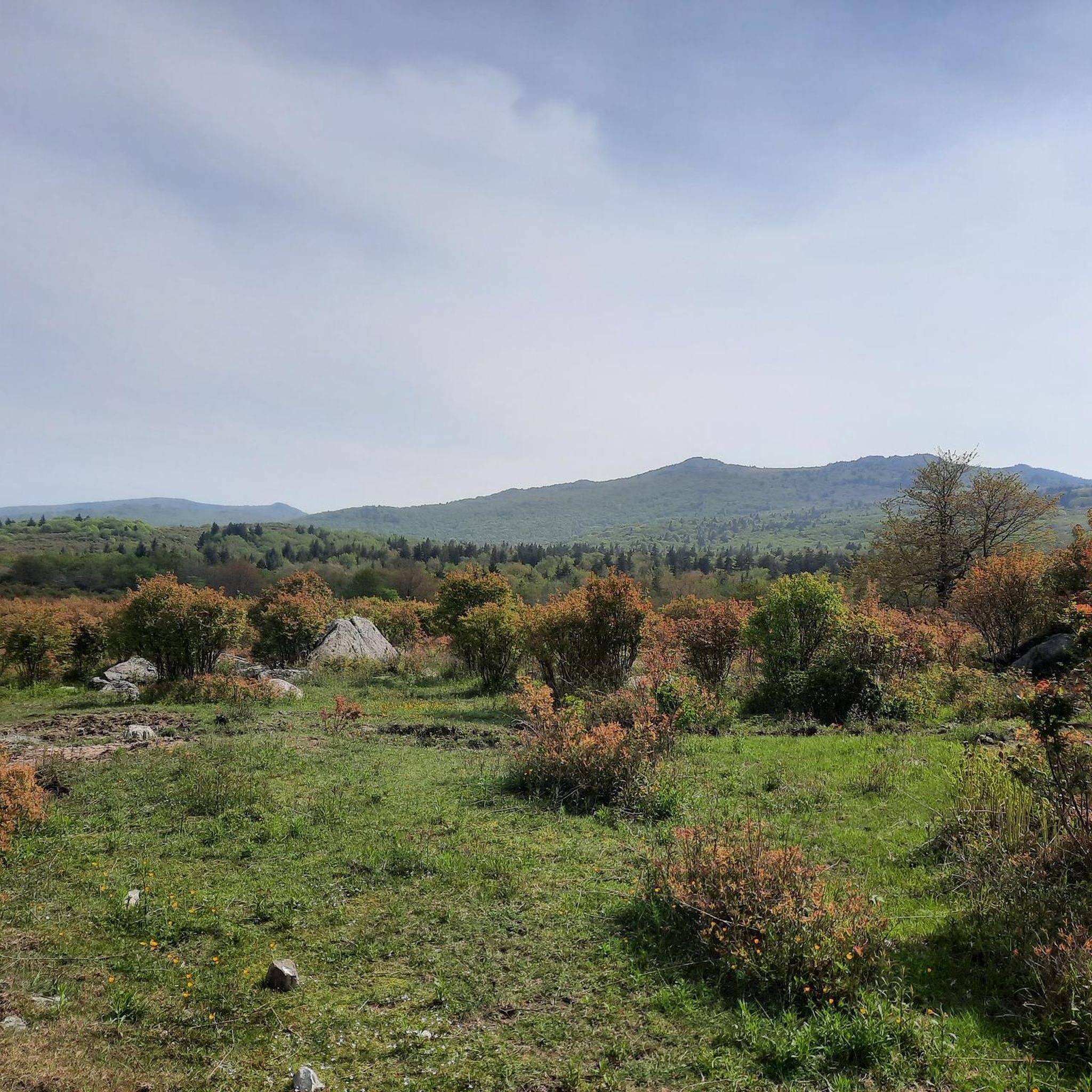
The Crest Trail is a popular trail that runs through the Grayson Highlands. The trail pass through a lot of open fields, so if you are lucky, you may see some of the wild horses that live there. This trail is open to bikes, so make sure you are aware of other trail users while out enjoying the path.
0
0
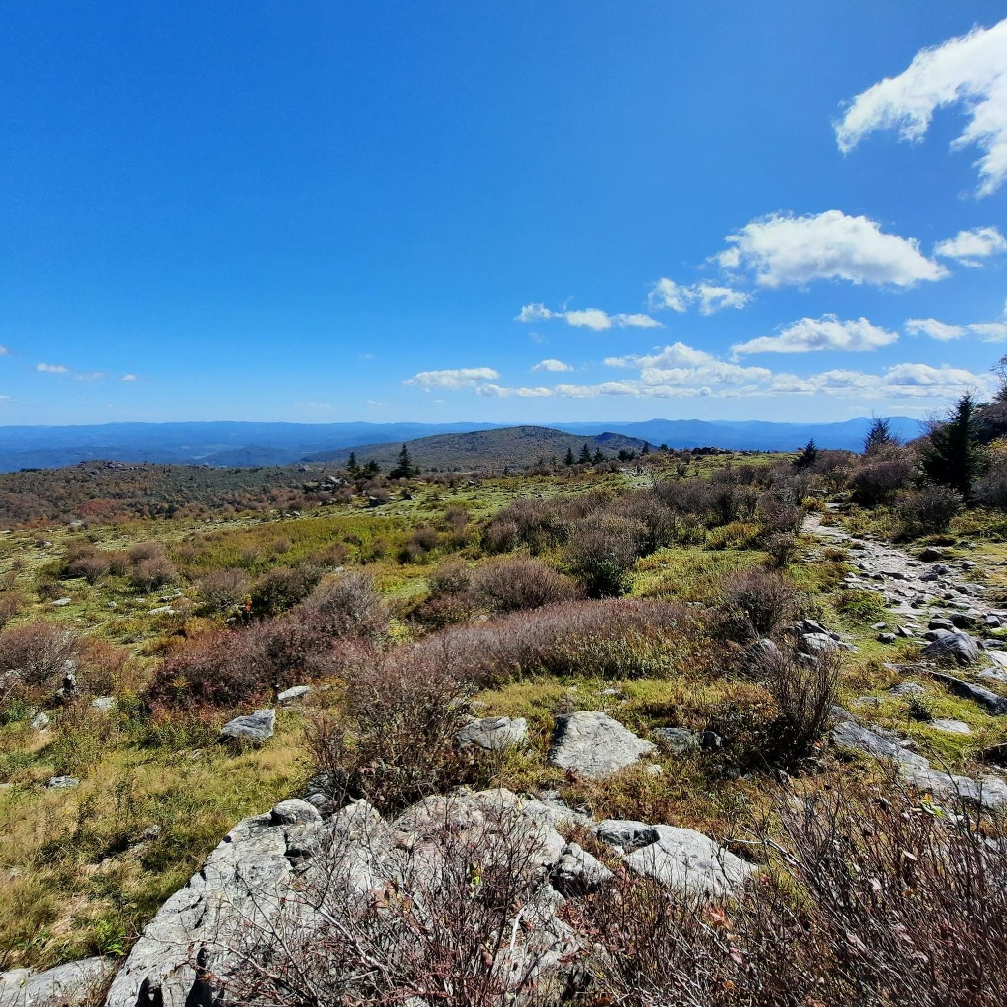
This is a popular section of the Appalachian Trail that runs through Grayson Highland State Park. There are great views from many parts of the trail, including a great view of the Blue Ridge Mountains.
0
0

Mount Rogers is not only right on the famous Appalachian Trail, it is also the highest mountain in the state of Virginia at 5,729 feet. The detour to the summit is only half a mile, with just 240 feet of ascent. But you can't expect a grand view because of the dense forest.
0
0
Mud Creek Lane is an alternative to the Appalachian Trail to get to the top of Whitetop Mountain. The road is gravel and can be used by cars and cyclists as well, so make sure you are aware of your surroundings while making your way to the top.
0
0

Whitetop Mountain is the second-highest peak and the highest public peak in Virginia. The peak offers breathtaking views of three different states. This mountain has a summit at an elevation of 5,525 feet.
0
0
Whitetop Mountain is the second-highest peak and the highest public peak in Virginia. The peak offers breathtaking views of three different states. This mountain has a summit at an elevation of 5525 feet.
0
0
Mount Rogers is not only right on the famous Appalachian Trail, it is also the highest mountain in the state of Virginia at 5,729 feet. The detour to the summit is only half a mile with just 240 feet of ascent. But you can't expect a grand view because of the dense forest.
2
0
Frequently Asked Questions
How many running routes are available in Lewis Fork Wilderness?
There are 10 dedicated running routes in Lewis Fork Wilderness featured on komoot, offering a range of experiences from moderate to difficult.
Are there running routes suitable for beginners in Lewis Fork Wilderness?
While there are no routes specifically classified as 'easy' for beginners, Lewis Fork Wilderness offers 4 moderate running routes. These provide a good introduction to the area's terrain without the extreme challenges of the difficult trails. An example is Wilburn Ridge via Appalachian Trail, a moderate 7.4 km path.
What kind of terrain can I expect on the running trails in Lewis Fork Wilderness?
The terrain in Lewis Fork Wilderness is diverse, ranging from high-elevation ridges and dense spruce-fir forests to open grassy balds and areas with cascading streams. You'll encounter varied topography, including challenging ascents and descents, especially on routes leading to Mount Rogers.
Are there any challenging running routes for experienced trail runners?
Yes, Lewis Fork Wilderness is known for its challenging terrain, with 6 difficult running routes. For instance, the Appalachian Trail to Mount Rogers is a difficult 14.3 km path that leads to Virginia's highest point, offering significant elevation gain and a unique high-elevation ecosystem. Another challenging option is the Appalachian Trail to Whitetop Mountain, a 11.3 km difficult route.
Are there any loop running trails in Lewis Fork Wilderness?
Yes, there are several loop options for runners. A notable one is the Lewis Fork and Pine Mountain Loop, a challenging 21.7 km route that takes you through diverse forest communities and along Lewis Fork Creek. Another option is the Rowlands Creek and Flattop Loop, a difficult 14.8 km trail.
What are some natural features or landmarks I might see while running in the Lewis Fork Wilderness?
Runners can experience a variety of natural features. You'll find dense spruce-fir forests, remnants of an ice-age forest, and open grassy balds offering panoramic views. The area is also home to numerous cold-water streams like Lewis Fork and Daves Branch. The iconic Mount Rogers, Virginia's highest point, is a central feature, and sections of the Appalachian Trail pass through the wilderness.
Is Lewis Fork Wilderness suitable for family-friendly running or jogging?
While the Lewis Fork Wilderness trails are generally rated moderate to difficult, making them more suitable for active families or those with older children, there are no specific 'easy' family-friendly routes listed. The diverse terrain and elevation changes might be challenging for very young children or those new to trail running.
What is the best time of year to go running in Lewis Fork Wilderness?
The best times to visit Lewis Fork Wilderness for running are typically spring, for vibrant wildflowers and mild temperatures, and fall, for stunning foliage. Summers can be warm, and winters may bring snow and ice, making some trails more challenging or inaccessible.
Are dogs allowed on the running trails in Lewis Fork Wilderness?
Lewis Fork Wilderness is generally dog-friendly, but it's crucial to check specific regulations for the Mount Rogers National Recreation Area and any adjacent parks like Grayson Highlands State Park. Dogs are typically required to be on a leash to protect wildlife and ensure the safety of all visitors.
What do other runners enjoy most about jogging in Lewis Fork Wilderness?
Runners often praise the tranquil wilderness experience and the opportunity to immerse themselves in nature. The diverse landscapes, from high-elevation ridges to cascading streams, provide a constantly engaging and refreshing environment. The challenging routes, especially those on the Appalachian Trail, are highly valued for their scenic beauty and physical demands.
Is parking available at the trailheads for running routes?
Yes, parking is generally available at various trailheads accessing the Lewis Fork Wilderness. Specific parking information can often be found on detailed route descriptions or through local ranger stations within the Mount Rogers National Recreation Area.
Are there any permits required for running or camping in Lewis Fork Wilderness?
For day running, permits are typically not required. However, if you plan to camp overnight within the Lewis Fork Wilderness or the broader Mount Rogers National Recreation Area, it's advisable to check with the U.S. Forest Service for any specific permit requirements or regulations regarding backcountry camping.
Most popular routes in Lewis Fork Wilderness

Get inspired with the komoot mobile app


Explore more
Browse the best Running Trails & Routes in other regions.
