The best cycling routes in Lewis Fork Wilderness
5.0
(7)
79
riders
7
rides
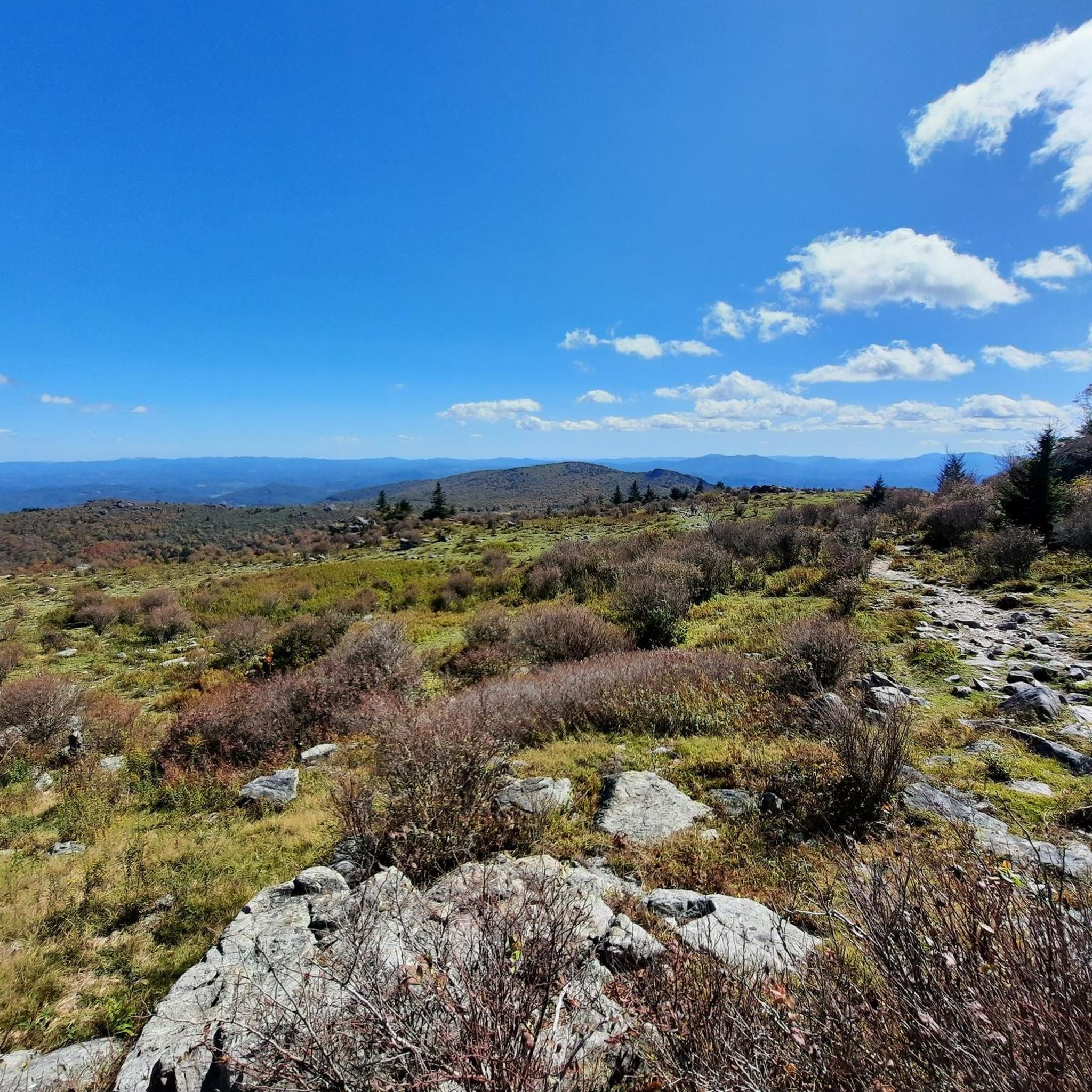
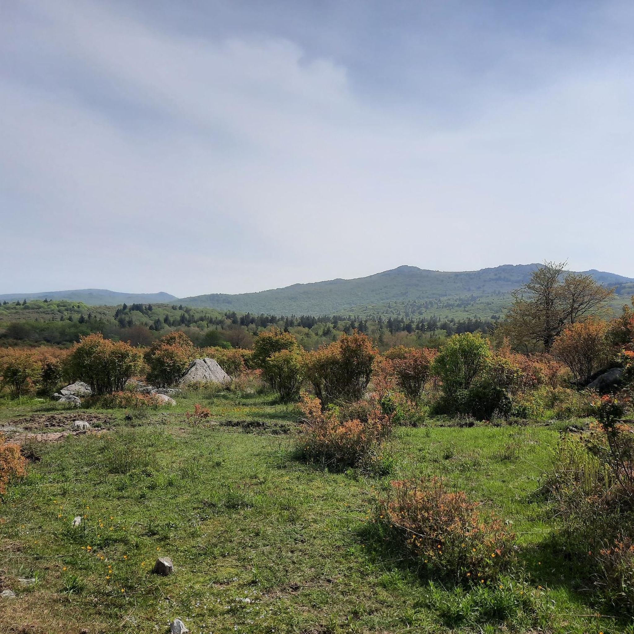
Touring cycling routes in Lewis Fork Wilderness navigate a landscape characterized by forested hills, winding streams, and open meadows. The region features varied terrain, including sections of established trails and quieter roads suitable for cycling. Elevations are generally moderate, with some routes offering gradual climbs through wooded areas.
Best touring cycling routes in Lewis Fork Wilderness
- The most popular touring cycling route is TransVirginia Bike Route, an 8.7 miles (14.0 km) trail that takes 1 hour 20 minutes to…
Last updated: September 28, 2026
1
riders
14.0km
01:20
330m
330m
If you're looking for a taste of Virginia's backcountry on two wheels, the TransVirginia Bike Route delivers a challenging yet rewarding experience. This moderate 8.7-mile (14.0 km) segment, with its…
1
riders
10.5km
00:52
240m
240m
The Horse Trail East and Stamper's Branch Loop offers a captivating touring cycling experience through the high-altitude beauty of Grayson Highlands State Park. You'll wind through diverse terrain, from open…

22.9km
02:05
500m
500m
For a truly immersive and challenging touring cycling experience, the route from Troutdale to the Junction of Five Trails at Scales offers a rigorous adventure deep within the Mount Rogers…
5.0
(7)
76
riders
53.3km
04:45
850m
850m
The Virginia Creeper Trail Loop offers a truly immersive touring cycling experience through the heart of Appalachia, winding past dense forests, expansive farmlands, and picturesque Christmas tree farms. You'll frequently…
15.9km
01:10
250m
250m
Embark on a touring bicycle route that, while geographically impossible as a single loop between Troutdale, Oregon, and Fox Creek Horse Campground in Virginia, offers distinct experiences in two beautiful…
Get access to more routes and recommendations from other explorers.
Already have an account?
Our route recommendations are based on thousands of hikes, rides, and runs completed by other people on komoot.
Start today with a free account
Your next adventure awaits.

Tips from the Community

Nice Visitor Center with Picnic Area, Rocking Chairs, Souvenir Shop and small Exhibit about farm life of the past.
0
0

Whitetop Mountain is the second-highest peak and the highest public peak in Virginia. The peak offers breathtaking views of three different states. This mountain has a summit at an elevation of 5,525 feet.
0
0
Hickory Ridge Campground has tent sites, RV sites, and a few yurts for rent as well! Be aware that while camping here, you might have some horse visitors to your camp as wild ponies roam the area.
0
0
Hickory Ridge Campground has tent sites, RV sites, and a few yerts for rent as well! Be aware that while camping here, you might have some horse visitors to your camp as wild ponies roam the area.
0
0
Grayson Highland Visitor Center has ample parking and is a great spot to stop on a ride around the park. This park is famous for its stunning landscapes, woods, featuring open, grassy open areas, panoramic views, and the local wild ponies. These ponies are known as the Grayson Highlands ponies, and there is no better place to learn more than at the Grayson Highland Visitor Center.
0
0
This small but peaceful waterfall is on Whitetop Laurel Creek and can be seen from the Virginia Creeper Trail. It's a great spot to take a break and listen to the water flow off the rocks. On the other side of the creek runs the Appalachian Trail.
0
0
Stretching for 35 miles, the Virginia Creeper Trail is a rail trail situated, giving visitors a scenic ride around the green southeast Virginia. It extends from Abingdon to Whitetop, near the Mount Rogers National Recreation Area.
0
0
The Whitetop Folk Festival historical marker is on the corner of Mud Creek Lane and Whitetop Road and gives information on the Whitetop Folk Festival. Stop by for a break and read up about this area's cultural history.
0
0
Frequently Asked Questions
How many touring cycling routes are available in Lewis Fork Wilderness?
Lewis Fork Wilderness offers a selection of 7 touring cycling routes, catering to various skill levels. These include 4 moderate routes and 3 more challenging options.
What is the typical duration for touring cycling routes in Lewis Fork Wilderness?
The duration varies significantly depending on the route's length and your pace. For instance, the TransVirginia Bike Route is about 1 hour 20 minutes, while the longer Virginia Creeper Trail Loop can take around 4 hours 45 minutes.
Are there family-friendly touring cycling routes in Lewis Fork Wilderness?
While specific 'family-friendly' designations aren't provided, routes like Horse Trail East and Stamper's Branch Loop, at 6.5 miles with moderate difficulty, could be suitable for families with some cycling experience. Always check the route details for elevation and terrain to ensure it matches your family's ability.
When is the best time of year to go touring cycling in Lewis Fork Wilderness?
The region's forested hills and open meadows are generally best enjoyed during spring and fall when temperatures are milder and the foliage is vibrant. Summer can be pleasant, but be prepared for warmer conditions. Winter cycling might be possible on some routes, but conditions can be unpredictable with potential for snow or ice.
What should I pack for a touring cycling trip in Lewis Fork Wilderness?
Given the varied terrain and potential for changing weather, it's advisable to pack layers of clothing, rain gear, sufficient water and snacks, a basic bike repair kit, and a first-aid kit. A navigation device with offline maps, like komoot, is also highly recommended as cell service can be spotty in wilderness areas.
Are there any circular touring cycling routes in Lewis Fork Wilderness?
Yes, there are circular options available. The Virginia Creeper Trail Loop is a notable example, offering a longer, challenging circular experience. Another option is the Troutdale to Fox Creek Horse Campground loop, which is a moderate 9.9-mile circuit.
What kind of wildlife might I encounter while cycling in Lewis Fork Wilderness?
As a wilderness area, Lewis Fork is home to various wildlife. Cyclists might spot deer, squirrels, and a variety of bird species. Keep an eye out for black bears, especially during dawn and dusk, and always maintain a respectful distance from all animals.
Where can I park when visiting Lewis Fork Wilderness for cycling?
Specific parking areas are often located near trailheads or designated access points. For routes originating near towns like Troutdale, you may find public parking options. It's always best to check the starting point of your chosen route on komoot for detailed parking information and directions.
What do other touring cyclists enjoy the most about touring cycling in Lewis Fork Wilderness?
The area is highly rated by the komoot community, with an average score of 5.0 stars from 7 reviews. Reviewers often praise the region's forested hills, winding streams, and the quiet, natural beauty that defines the cycling experience here.
Are there routes suitable for beginner touring cyclists?
While there are no routes specifically graded as 'easy' in the current selection, some moderate routes might be manageable for beginners with a reasonable fitness level. The Horse Trail East and Stamper's Branch Loop, at 6.5 miles with moderate elevation, could be a good starting point for those looking to build experience.
Are there places to eat or resupply along the touring cycling routes?
Lewis Fork Wilderness is a natural area, so amenities like cafes and pubs are not typically found directly on the trails. It's recommended to carry all necessary supplies, including food and water. Towns bordering the wilderness, such as Troutdale, may offer options for resupply before or after your ride.
Most popular routes in Lewis Fork Wilderness

Get inspired with the komoot mobile app


