The best running trails in Mt. Rose Wilderness
3.7
(6)
886
runners
115
runs
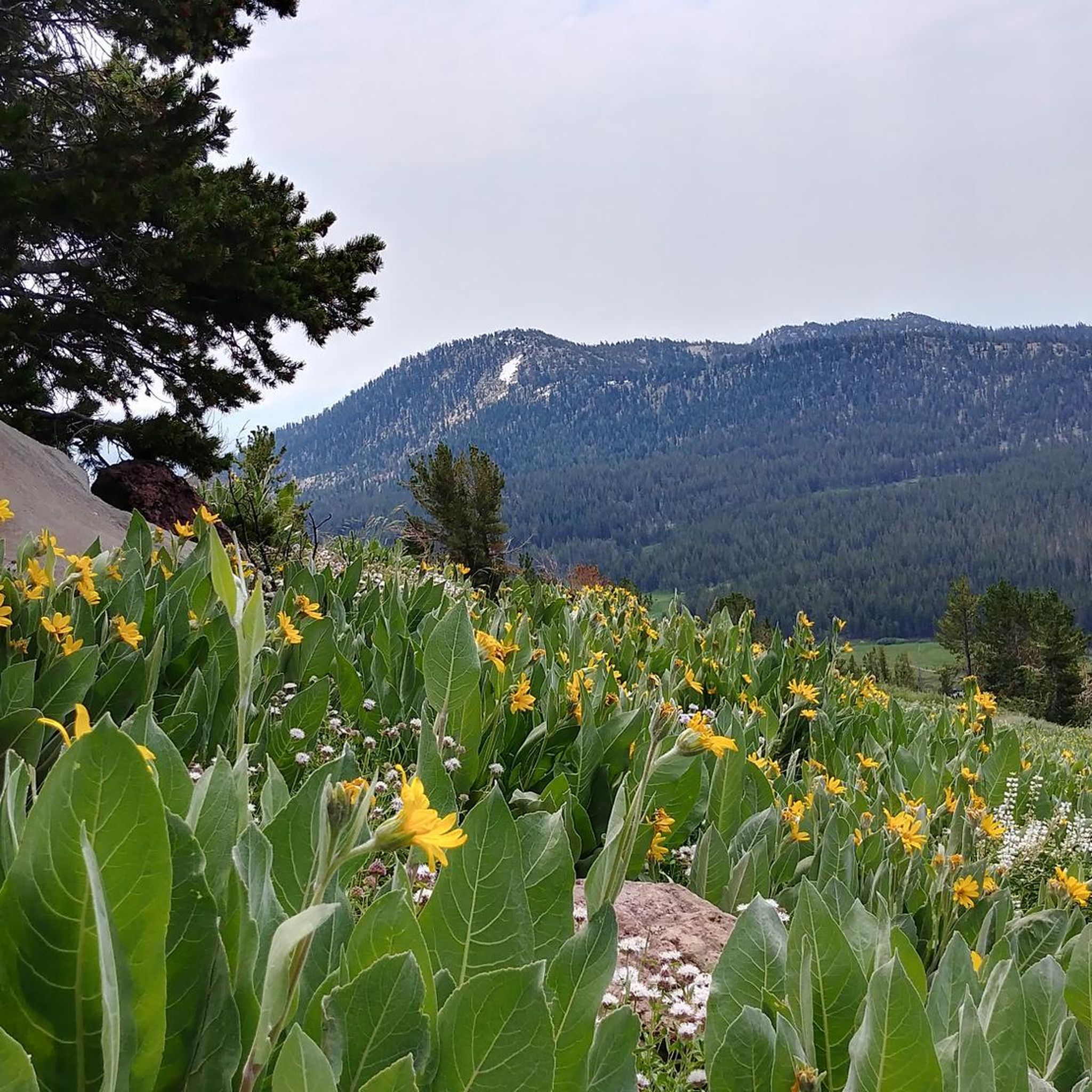
Jogging in Mt. Rose Wilderness offers a diverse and appealing landscape for trail running, situated between the Carson Range and the Great Basin. The region features a variety of terrain, from high alpine summits and expansive forests to lush canyon bottoms and wildflower-filled mountain meadows. This unique ecological transition zone provides an accessible escape into nature, with routes that cater to different levels of difficulty.
Best jogging routes in Mt. Rose Wilderness
- The most popular jogging route is Hunter Creek…
Last updated: June 29, 2026
27
runners
9.13km
01:15
340m
340m
If you are looking for a challenging jogging experience near Reno, the Hunter Creek Trail delivers a difficult 5.7-mile (9.1 km) out-and-back route. You will gain 1116 feet (340 metres)…
5.0
(1)
2
runners
7.25km
00:53
180m
180m
Embark on the Tom Cooke and Steamboat Ditch Loop for a moderate jogging experience that offers diverse scenery and a good workout. This route covers 4.5 miles (7.2 km) and…

Sign up for free
1
runners
5.27km
00:35
40m
40m
Embark on a moderate jogging route along the Tahoe-Pyramid Bikeway: Mayberry Park Loop, a pleasant 3.3 miles (5.3 km) journey. You'll experience picturesque views as the trail follows the Truckee…
11.3km
01:26
220m
220m
Imagine jogging through expansive desert landscapes on the Airmail Arrow via Hunter Foothill Road. This moderate route spans 7.0 miles (11.3 km), guiding you past mountains and through valleys. You'll…
19
runners
11.0km
01:10
130m
130m
Moderate run. Good fitness required. Mostly paved surfaces. Suitable for all skill levels.
Get access to more routes and recommendations from other explorers.
Sign up for free
Already have an account?
Our route recommendations are based on thousands of hikes, rides, and runs completed by other people on komoot.
Start today with a free account
Your next adventure awaits.
Login or Signup

Tips from the Community

This popular riverside park has a wide paved path, river access, and many more trails across the river leading to Steamboat Ditch & beyond. Mayberry Park also lies along the Tahoe to Pyramid Cycleway which connects the two lakes while mostly paralleling the Truckee River.
0
0
Dorostkar Park has a nice mix of paved & gravel trails, good views of the surrounding mountains, and multiple points of access to the Truckee River. You can also connect to the trails at Mayberry Park and/or Caughlin Ranch for a longer run.
0
0
Great destination for a hike or bike along the Steamboat Ditch Trail. Nearby trees provide shade in the summer but the area can be icy/snowy in winter.
0
0
This section of the Steamboat Ditch Trail runs behind the homes in the upper reaches of Caughlin Ranch towards Mayberry Park and Hole In The Wall. This is a great place for a hike as the views are excellent and the trail is even. You can pretty much hike for as long as you want from here since the trail runs all the way to Verdi.
0
0

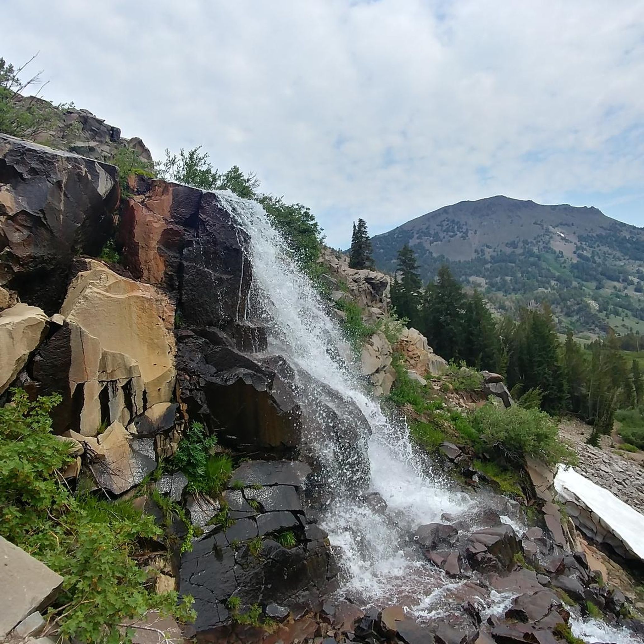
This trail offers a steady and challenging incline up to the stunning Hunter Creek Waterfall. It's recommended to start early, as the initial portion of the trail has limited shade.
0
0
This arrow, a remnant from the U.S. Air Mail Service of the 1920s-30s, served as a navigation aid for pilots traveling between California and San Francisco. The panoramic 360-degree views of the surrounding area are simply breathtaking.
0
0
The point gets its name from a notable feature: you guessed it, a hole in the rock wall. Witnessing the water flow through this distinctive rock formation is a truly unique sight.
0
0
Here, you'll encounter an impressive 30-foot waterfall that offers a refreshing change after tackling a challenging trail. The area is densely shaded, providing a welcome contrast to the previously exposed trail leading up to this point.
0
0
Frequently Asked Questions
How many running routes are available in Mt. Rose Wilderness?
The Mt. Rose Wilderness offers a wide selection of running routes, with over 100 trails documented on komoot. These routes cater to various skill levels, including easy, moderate, and difficult options.
What do other runners say about the trails in Mt. Rose Wilderness?
The running routes in Mt. Rose Wilderness are highly regarded by the komoot community, boasting an average rating of 4.2 stars from over 5 reviews. More than 900 runners have explored the diverse terrain, often praising the scenic views and varied landscapes.
What kind of terrain can I expect when running in Mt. Rose Wilderness?
Runners in Mt. Rose Wilderness can expect a diverse range of terrain. The area features everything from high alpine summits and expansive forests to lush canyon bottoms and wildflower-filled mountain meadows. It's a unique ecological transition zone, offering both challenging ascents and more moderate, scenic routes.
Are there easy running trails suitable for beginners in Mt. Rose Wilderness?
Yes, there are several easy running trails perfect for beginners in Mt. Rose Wilderness. For instance, the Tahoe-Pyramid Bikeway: Mayberry Park Loop is a moderate 3.3-mile path that leads through parkland and along waterways, offering a gentle introduction to the area's beauty.
Are there challenging routes for experienced trail runners?
Absolutely. Experienced trail runners will find plenty of challenging options. The Hunter Creek Trail is a challenging 5.7-mile route with significant elevation gain, offering scenic views and opportunities to spot wildlife. The Mount Rose Summit Trail, though not listed in the guide data, is also known as a challenging 10.4 to 12-mile round trip with steep ascents.
Can I see waterfalls while jogging in Mt. Rose Wilderness?
Yes, you can encounter beautiful waterfalls on some of the running routes. The Hunter's Creek Waterfall is a notable attraction that can be enjoyed along the Hunter Creek Trail, providing a refreshing sight during your run.
Are there any scenic viewpoints along the running paths?
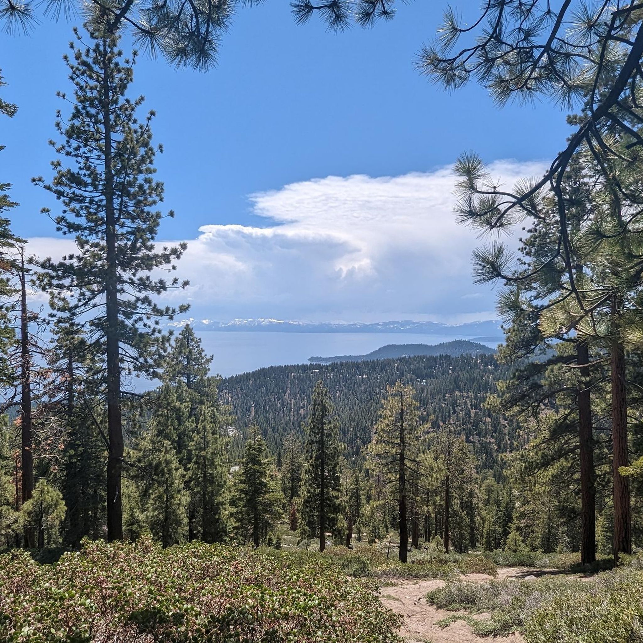
Many running paths in Mt. Rose Wilderness offer breathtaking scenic viewpoints. The Mount Rose Summit View provides panoramic 360-degree views of Lake Tahoe, Reno, Washoe Valley, and distant Sierra Nevada ranges. Trails in Whites & Thomas Creek Canyons also offer excellent views of Reno and Mount Rose.
Are there any loop trails for running in the area?
Yes, there are several loop trails available for runners. The Tom Cooke and Steamboat Ditch Loop is a popular moderate 4.5-mile path. Another option is the Steamboat Ditch Trail loop from Plateau/Aspen Glen, which is a 6.8-mile moderate route.
Is Mt. Rose Wilderness suitable for family runs?
Yes, Mt. Rose Wilderness offers trails suitable for family runs, especially those seeking easier or moderate experiences. The varied topography includes easily-accessible paths for all skill levels, making it possible to find routes that everyone in the family can enjoy.
Are dogs allowed on the running trails?
Many trails in the Mt. Rose Wilderness are dog-friendly, but it's always recommended to check specific trail regulations before heading out. Generally, dogs are welcome on leash, allowing your furry companion to join you on your run through the beautiful natural landscapes.
What are the best times of year to go running in Mt. Rose Wilderness?
The Mt. Rose Wilderness offers seasonal beauty throughout the year. Spring brings meadows carpeted with wildflowers, while autumn showcases magnificent colors in aspen-filled canyons. Summer is ideal for higher elevation runs, and even winter running is possible on lower, well-maintained trails, though conditions should always be checked.
Are there options for parking near the trailheads?
Yes, many popular trailheads in Mt. Rose Wilderness, including those for routes like Hunter Creek Trail and the various canyon trails, offer designated parking areas. It's advisable to arrive early during peak seasons to secure a spot.
What are some less crowded running trails in Mt. Rose Wilderness?
While popular trails can see more visitors, exploring routes like the Airmail Arrow via Hunter Foothill Road, a moderate 7-mile route, might offer a more serene experience. Additionally, visiting during off-peak hours or weekdays can help you find quieter moments on any trail.
Most popular routes in Mt. Rose Wilderness
Most popular attractions in Mt. Rose Wilderness

Get inspired with the komoot mobile app


Explore more
Browse the best Running Trails & Routes in other regions.
