The best cycling routes in Mt. Rose Wilderness
4.7
(23)
648
riders
53
rides
Touring cycling in Mt. Rose Wilderness offers diverse routes primarily outside the federally designated Wilderness Area, where bicycles are prohibited. The broader Mt. Rose region is characterized by the Sierra Nevada mountains, offering challenging climbs and panoramic views of Lake Tahoe and the Reno plain. Cyclists can find paved routes through varied terrain, including segments that traverse alpine meadows and dense forests. The area's geology features rugged peaks and canyons, providing a scenic backdrop for cycling.
Best touring cycling routes…
Last updated: June 1, 2026
5.0
(1)
9
riders
19.7km
01:10
120m
120m
Easy bike ride. Great for any fitness level. Mostly paved surfaces. Suitable for all skill levels.
5.0
(2)
17
riders
14.2km
01:25
190m
190m
Moderate bike ride. Good fitness required. Mostly paved surfaces. Suitable for all skill levels.

3.5
(2)
10
riders
24.0km
01:25
160m
160m
Moderate bike ride. Good fitness required. Mostly paved surfaces. Suitable for all skill levels.
5.0
(1)
71
riders
Moderate bike ride. Good fitness required. Mostly paved surfaces. Suitable for all skill levels.
6
riders
Hard bike ride. Very good fitness required. Mostly paved surfaces. Suitable for all skill levels.
Get access to more routes and recommendations from other explorers.
Already have an account?
Our route recommendations are based on thousands of hikes, rides, and runs completed by other people on komoot.
Start today with a free account
Your next adventure awaits.

Tips from the Community

Here you'll find the trailhead for the Incline Flume Trail, along with a map and other points of interest. This is a relatively flat trail, making it perfect for beginners.
1
0

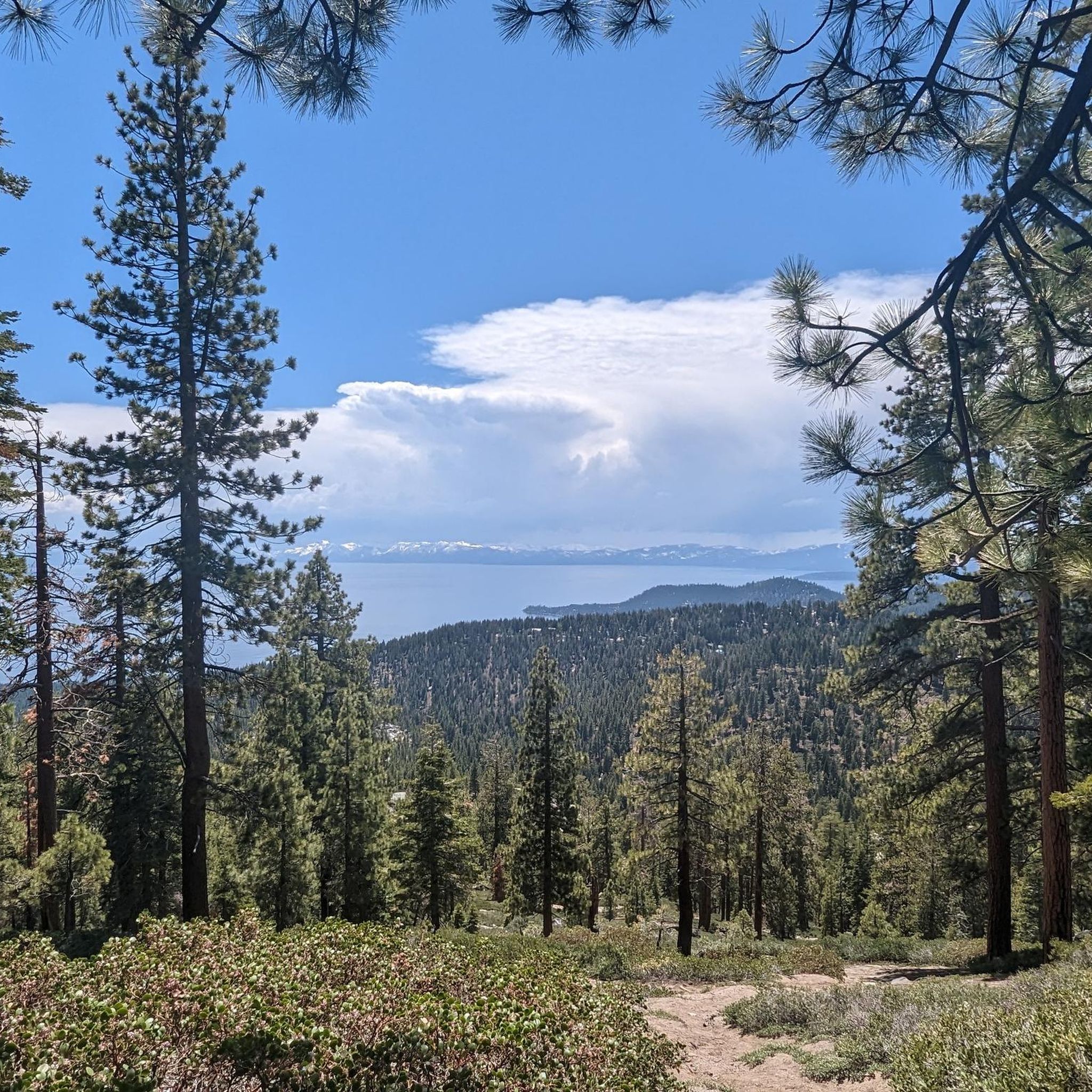
Lake Tahoe is a large freshwater lake that straddles the border of California and Nevada. Sitting at 6,225 feet in elevation makes it the largest alpine lake in North America. It is a major tourist draw with its stunning beauty and world-class ski resorts.
0
0

The trail from Incline Village to Sand Harbor is a must for anyone visiting North Lake Tahoe. There is one hill as you leave/enter Incline Village, but the rest of the trail is flat and follows along Tahoe's east shore, with incredible views around every corner. Eventually you'll end up at the fantastic Sand Harbor State Park, where you can enjoy the sun, sand, and water before heading back to Incline Village.
1
0
Really cool bridge across the Truckee river. There's picnic tables just off the bridge in a nice shaded area. You can access the river here as well which is a great way to cool off in the summer. The colors in the fall are stunning as well!
1
0
This popular riverside park has a wide paved path, river access, and many more trails across the river leading to Steamboat Ditch & beyond. Mayberry Park also lies along the Tahoe to Pyramid Cycleway which connects the two lakes while mostly paralleling the Truckee River.
0
0
Sand Harbor is one of the most popular destination around Lake Tahoe, and with good reason. The views are outstanding and the beaches are wide and sandy. The parking area generally fills up within an hour of opening during the summer, but if you can get here on foot you'll be allowed entry.
0
0
Riverside Drive runs along the Truckee River through a historic neighborhood in West Reno. The treelined paths and sidewalks are stunning in autumn and busy with events and festivals throughout the summer. It can get crowded in summer so going for a morning or evening run will afford you more space.
0
0

Hidden Beach actually isn't that hidden anymore but located about one mile south of Incline Village. But that doesn't make it less beautiful, and you will love to go for a swim and enjoy the boulder-shoreline.
0
0
Frequently Asked Questions
Can I ride my touring bicycle within the Mt. Rose Wilderness Area?
No, bicycles, including touring bicycles, are prohibited within the federally designated Mt. Rose Wilderness Area itself due to federal regulations that ban all mechanized vehicles. However, the broader Mt. Rose region offers excellent touring cycling opportunities outside these wilderness boundaries.
What kind of terrain can I expect on touring cycling routes in the Mt. Rose region?
The Mt. Rose region offers diverse terrain, primarily on paved surfaces. You'll find routes with challenging ascents, such as the Mount Rose Highway, which provides a significant climb with an average grade of 5.8%. Other routes, like the Mayberry to Downtown Loop, offer a relatively flat profile. The landscape includes scenic alpine meadows, dense forests, and rugged canyons, all set against the backdrop of the Sierra Nevada mountains.
How many touring cycling routes are available in the Mt. Rose region?
There are over 50 touring cycling routes available in the Mt. Rose region. These routes cater to various fitness levels, with 7 easy, 32 moderate, and 13 difficult options to choose from.
Are there any family-friendly touring cycling routes in the Mt. Rose region?
Yes, there are several easy touring cycling routes suitable for families. The Mayberry to Downtown Loop is a popular choice, offering a relatively flat profile over 12.3 miles (19.7 km) with minimal elevation gain, making it accessible for a relaxed family ride.
What are some scenic viewpoints or landmarks I can see while cycling in the Mt. Rose region?
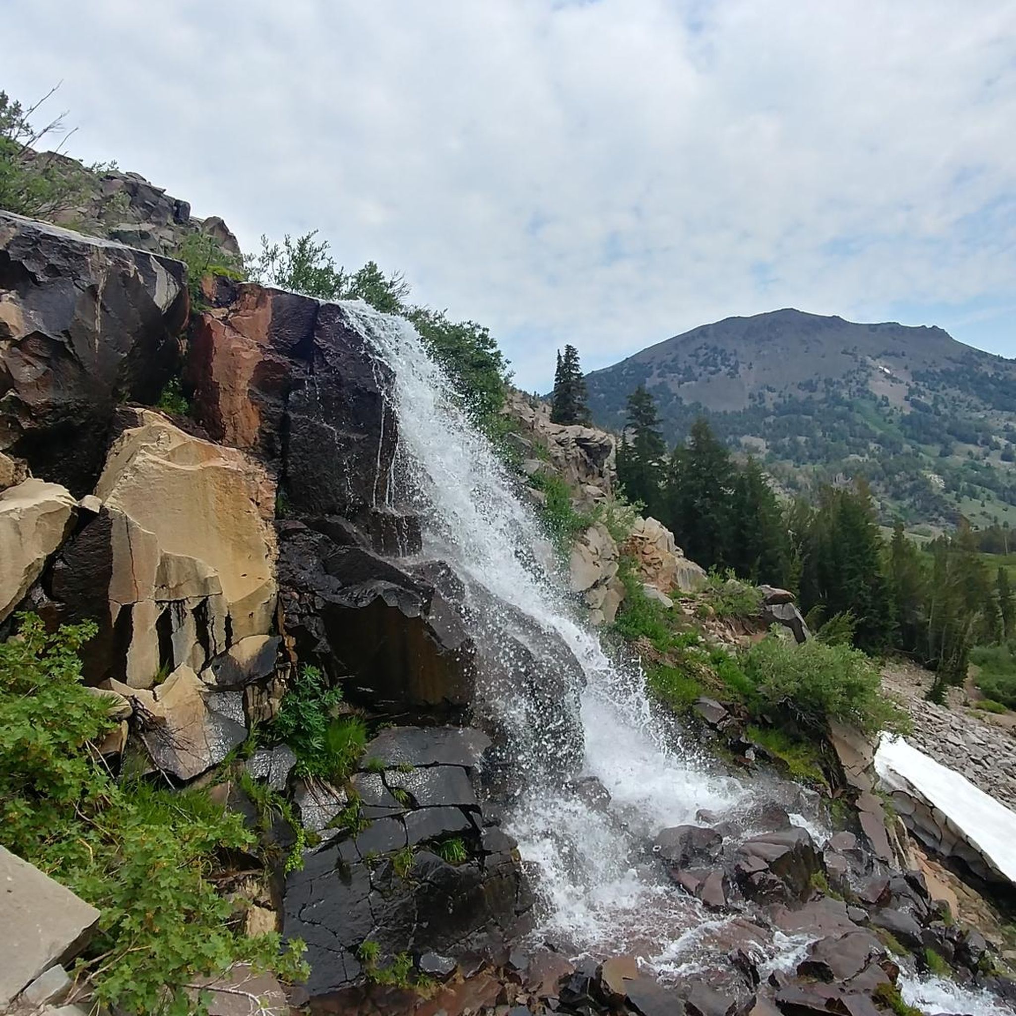
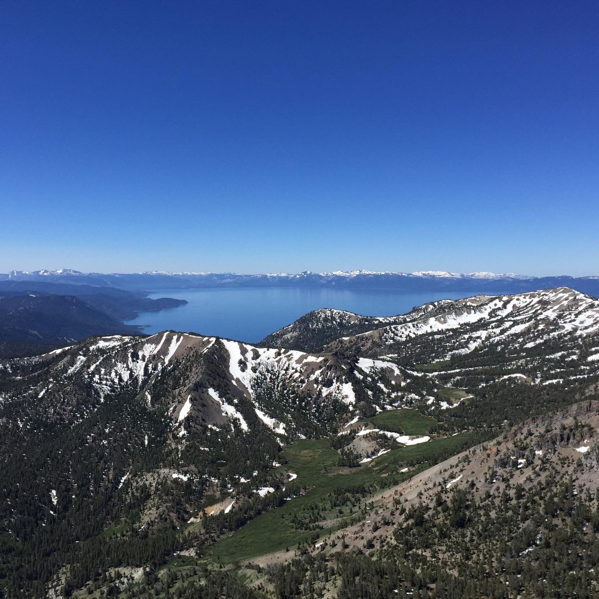
While cycling in the Mt. Rose region, especially along routes like the Mount Rose Highway, you can enjoy panoramic views of Lake Tahoe, the Reno plain, and the surrounding Sierra Nevada mountains. Notable natural features and attractions in the broader area include the Mount Rose Summit View, Hunter's Creek Waterfall, and Church's Pond. Some sections of the Tahoe Rim Trail (outside the wilderness area) also offer remarkable vistas.
What is the best time of year to go touring cycling in the Mt. Rose region?
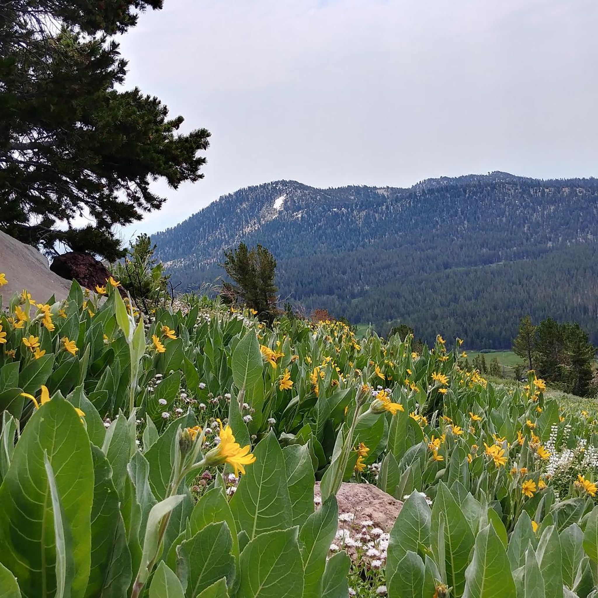
The best time for touring cycling in the Mt. Rose region is typically during the spring, summer, and fall months. During spring and summer, you can enjoy vibrant wildflowers. The Mount Rose Highway is generally clear of snow from late spring through fall. Cyclists should be mindful of potential snow and ice during winter months, especially at higher elevations.
Are there any circular touring cycling routes in the Mt. Rose region?
Yes, the Mt. Rose region offers several circular touring cycling routes. A popular option is the Mayberry to Downtown Loop, which provides a convenient way to explore the area and return to your starting point.
What do other touring cyclists say about the routes in the Mt. Rose region?
The touring cycling routes in the Mt. Rose region are highly rated by the komoot community, with an average score of 4.6 stars from over 19 reviews. Cyclists often praise the stunning Sierra Nevada mountain views, the quality of the paved roads, and the diverse ecosystems encountered along the way.
Are there any specific rules or permits required for cycling in the Mt. Rose region?
While bicycles are prohibited within the federally designated Mt. Rose Wilderness Area, no specific permits are generally required for touring cycling on public roads and designated bike paths outside of the wilderness boundaries. Always adhere to local traffic laws and respect any posted signage on trails or roads.
Where can I find parking for touring cycling routes in the Mt. Rose region?
Parking is generally available at various trailheads and access points for cycling routes in the Mt. Rose region. For routes like those starting near Incline Village or Reno, you can often find public parking areas. It's advisable to check specific route details or local municipality websites for parking availability and regulations before your ride.
Are there any routes that follow a historic path or unique natural feature?
Yes, the Steamboat Ditch Trail is a moderate 8.8-mile (14.2 km) path that follows a historic ditch. This route provides a consistent ride through the landscape, offering a unique blend of natural scenery and historical context.
What is the longest touring cycling route available in the Mt. Rose region?
Among the listed routes, the Tahoe-Pyramid Bikeway offers one of the longer segments, spanning 14.9 miles (24.0 km) through varied terrain. This route is often completed in about 1 hour 25 minutes and is rated as moderate difficulty.
Most popular routes in Mt. Rose Wilderness
Most popular attractions in Mt. Rose Wilderness

Get inspired with the komoot mobile app


Explore more
Browse the best Cycling routes in other regions.
