The best running trails in Kachina Peaks Wilderness
247
runners
32
runs
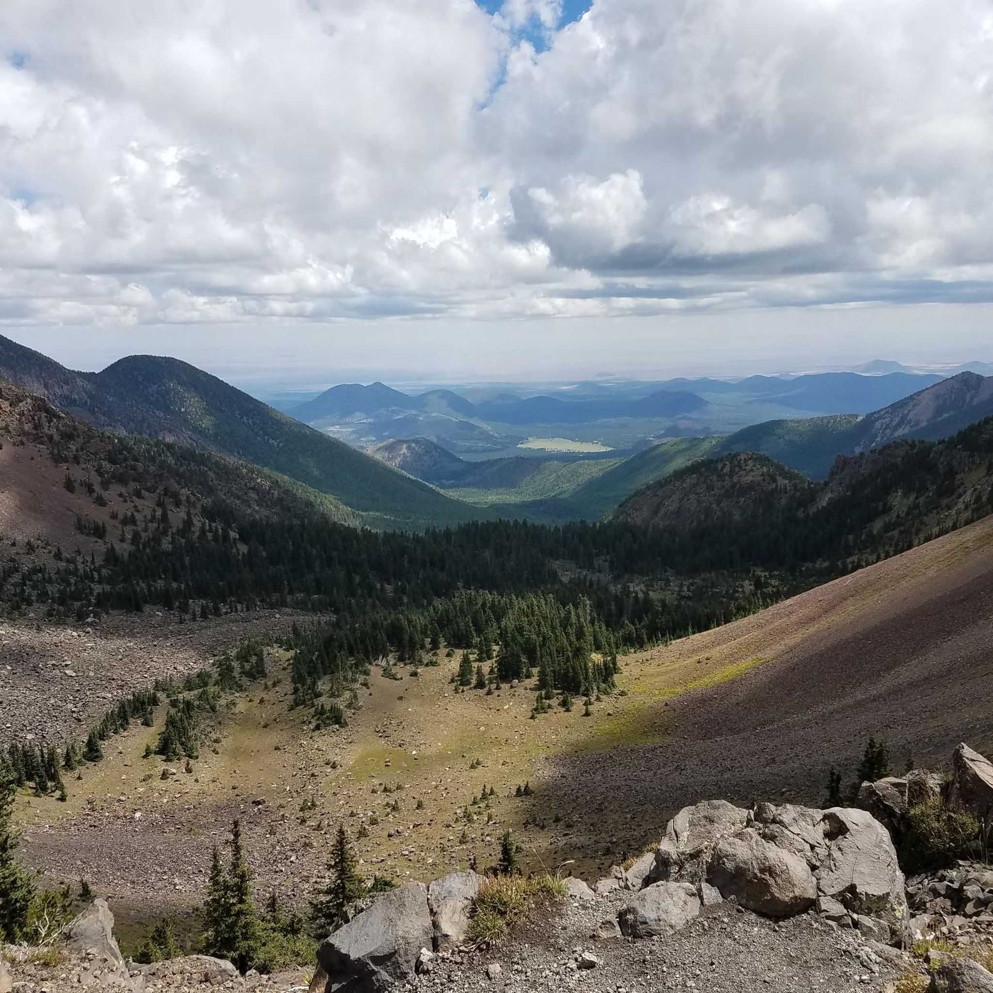
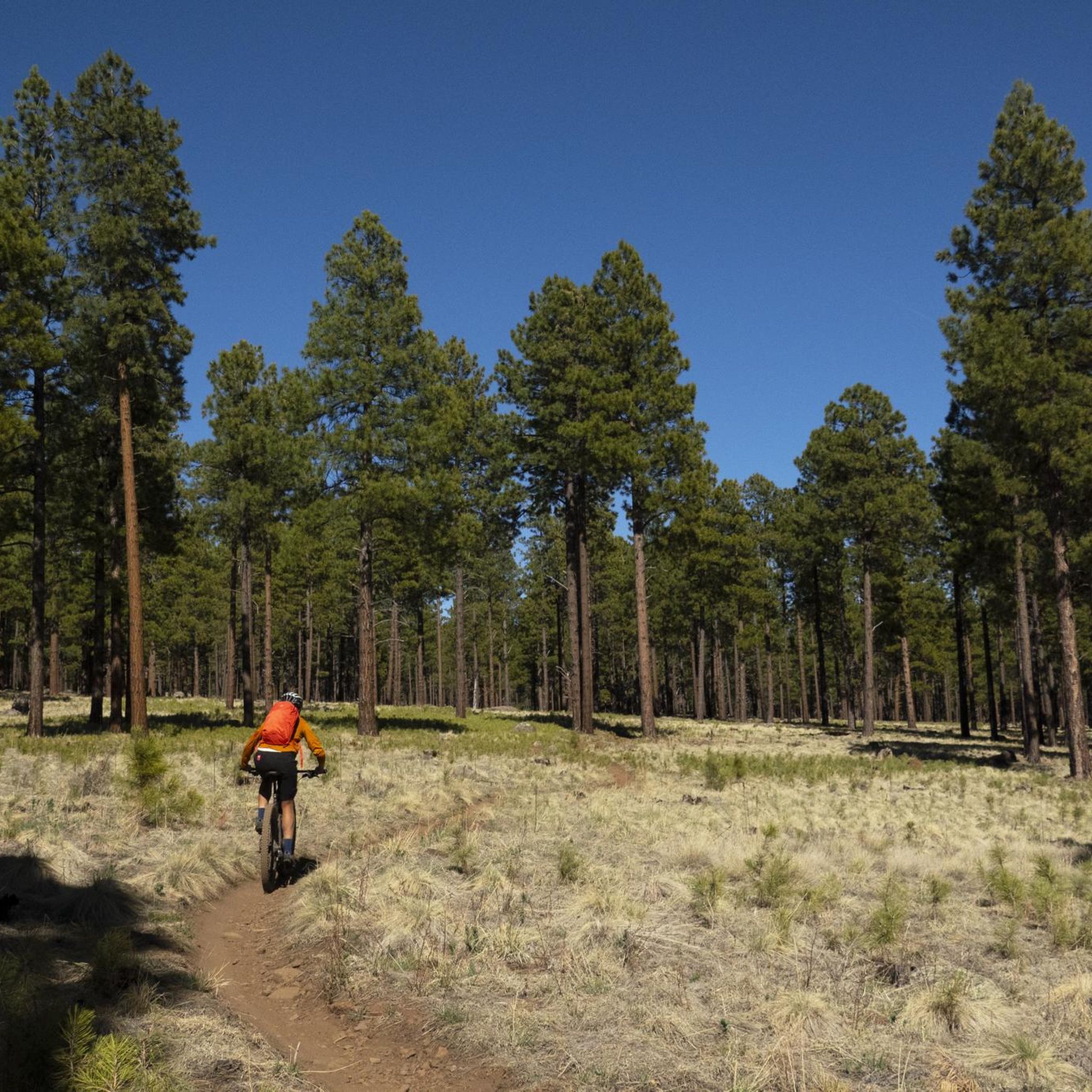
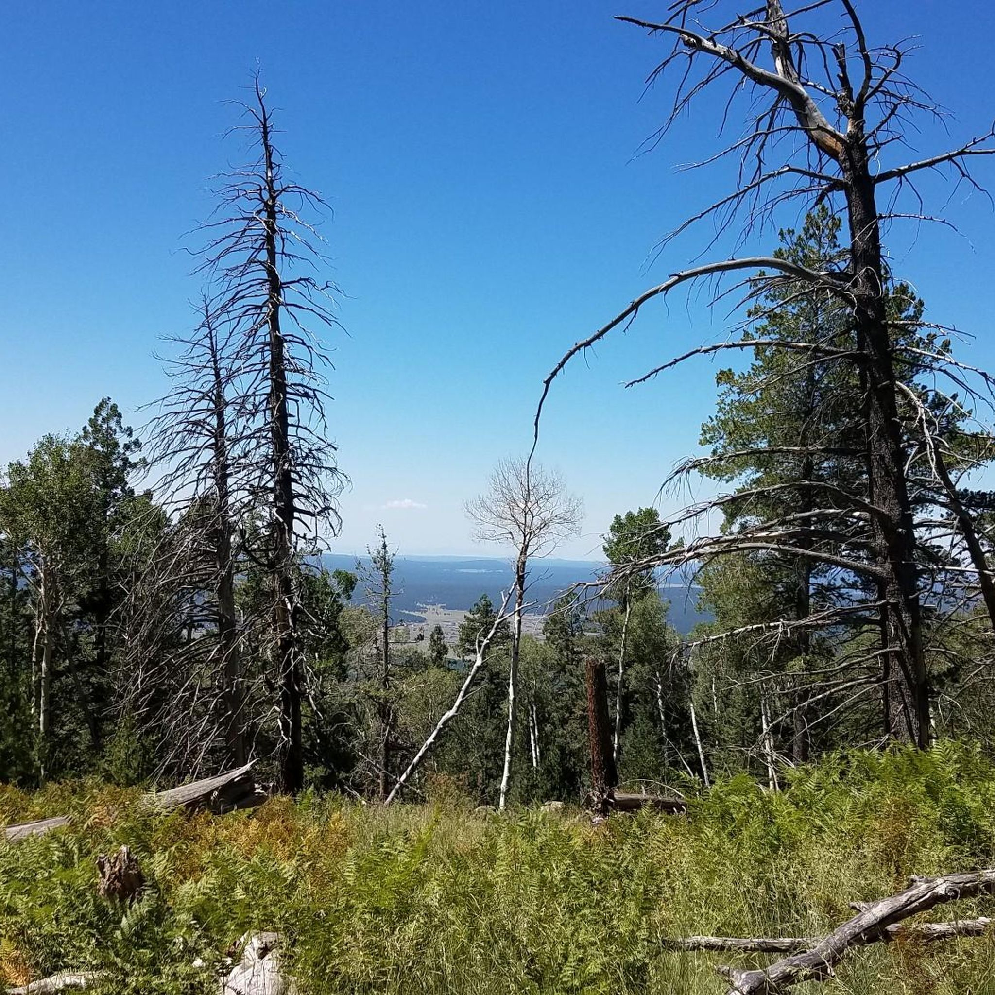
Jogging routes in Kachina Peaks Wilderness are situated within the Coconino National Forest, characterized by the San Francisco Peaks, remnants of a dormant composite volcano. This region features diverse ecosystems, ranging from ponderosa pine and aspen forests to rare arctic-alpine vegetation at higher elevations. The landscape includes Humphreys Peak, Arizona's highest point, and the expansive Inner Basin caldera, now home to aspen stands. Elevations range from approximately 7,000 feet to over 12,600 feet, offering varied terrain for running.
Best jogging…
Last updated: June 28, 2026
46
runners
24.3km
03:44
1,260m
1,260m
Hard run. Very good fitness required. Mostly paved surfaces. Suitable for all skill levels.
8
runners
Hard run. Very good fitness required. Mostly paved surfaces. Suitable for all skill levels.

Sign up for free
7
runners
16.8km
02:16
560m
560m
Hard run. Very good fitness required. Mostly accessible paths. Some sure footedness required.
16
runners
13.9km
01:40
550m
550m
Hard run. Very good fitness required. Mostly paved surfaces. Suitable for all skill levels.
7
runners
16.5km
02:02
180m
180m
Hard run. Very good fitness required. Mostly paved surfaces. Suitable for all skill levels.
Get access to more routes and recommendations from other explorers.
Sign up for free
Already have an account?
Our route recommendations are based on thousands of hikes, rides, and runs completed by other people on komoot.
Start today with a free account
Your next adventure awaits.
Login or Signup

Tips from the Community

Also see QR Code for weather forecast and additional information on photos of billboard signs' photos #25 on.
1
0
... https://www.fusd1.org/cms/lib03/AZ01001113/Centricity/Domain/883/peaks_history.pdf https://www.alltrails.com/trail/us/arizona/humphreys-peak https://coconino.stqry.app/story/242022 https://www.grandcanyontrust.org/hikes/cpe-humphreys-peak-trail/https://www.fs.usda.gov/r03/coconino/recreation/groups/kachina-peaks-wilderness
2
0
Google's AI also summarized this mountain and its history as: "Humphreys Peak, the highest point in Arizona, and the Kachina Peaks Wilderness, where it's located, have a rich history deeply intertwined with Native American culture, exploration, and geological events. The peaks are sacred to various tribes, particularly the Hopi, who believe Kachina spirits reside there. The wilderness area itself was established in 1984 to protect the unique volcanic landscape and the surrounding ecosystem." This was gathered from the following links, which provide further in-depth information: https://en.wikipedia.org/wiki/Kachina_Peaks_Wilderness https://en.wikipedia.org/wiki/San_Francisco_Peaks https://www.fs.usda.gov/r03/coconino/recreation/groups/kachina-peaks-wilderness https://en.wikipedia.org/wiki/Coconino_National_Forest https://www.arizonahighways.com/humphreys-peak https://en.wikipedia.org/wiki/Humphreys_Peak https://azgs.arizona.edu/photo/san-francisco-peaks-inner-basin ...
2
0
Highest point in Arizona, at 12,633 feet (3851 meters) Humphreys Peak is one of the most exciting mountain destinations in the state. Part of the rim of a volcanic caldera, the entire Kachina Wilderness I consider a hiking paradise of rugged, untamed outdoor wonder not far from perhaps the biggest hole in the world, the Grand Canyon. ⛰️🌲💚🌄Hiking from the snowbowl, this trail consists of an unrelenting upward tour over rocks and roots with grades as high as 26% and at that worth every step. 🤠💛😊
2
0

Lockett Meadow is an incredible scenic area and has great views of the surrounding mountains. The trail to get up the Locket Meadow is rough in places, but it's worth the effort for the amazing setting.
0
0

This trail is challenging, leading to the summit of Arizona's highest peak, with a significant elevation gain of 3,356 feet. Watch your footing, as this section of the route is pretty rocky terrain. Once you're above the treeline, prepare for exposure to wind and sun, with the potential for afternoon storms, especially during the late summer months. There is some necessary scrambling as you get close to the summit—with the great reward of incredible panoramic views when you reach the top.
0
0

Check trail conditions before you go—this area can be muddy or snow-covered well into spring. The climb up is steep and challenging, but the views of the Inner Basin are worth it. Be ready for narrow switchbacks, loose rock, and hikers on the trail. A solid set of tires and good brakes make all the difference on the descent.
0
0

As you ascend toward Snow Bowl or make your way back down, this is a fantastic spot to pause and enjoy the view of Kendrick Peak. It's one of the highest peaks in the San Francisco volcanic field.
1
0
Frequently Asked Questions
How many running routes are available in Kachina Peaks Wilderness?
Kachina Peaks Wilderness offers a diverse network of over 30 running routes. These range from moderate to difficult, providing options for various fitness levels, though there are no easy routes listed in the current selection.
What kind of terrain can I expect on the running trails in Kachina Peaks Wilderness?
The terrain in Kachina Peaks Wilderness is characterized by high-altitude volcanic landscapes, diverse forest zones, and the expansive Inner Basin. You'll encounter everything from ponderosa pine and aspen forests to rare arctic-alpine vegetation at higher elevations, with elevations ranging from approximately 7,000 feet to over 12,600 feet.
Are there any family-friendly running trails in Kachina Peaks Wilderness?
While many routes in Kachina Peaks Wilderness are rated moderate to difficult, the region does offer some shorter, more accessible options. For instance, the Inner Basin Trail is a 2-mile option perfect for a quicker run amidst beautiful foliage, which could be suitable for families looking for a less strenuous experience.
What are some notable natural features or landmarks I might see while jogging?
You can encounter several striking natural features and landmarks. These include Humphreys Peak, Arizona's highest point, and the expansive Inner Basin, known for its white-barked aspen trees. Some trails also offer glimpses of historical ruins, such as along the Veit Spring Cabin Ruins – Arizona Trail Intersection loop from Fort Valley.
Are there any loop running routes in the area?
Yes, Kachina Peaks Wilderness features several excellent loop running routes. A popular choice is the Lockett Meadow – Trail Junction loop from Lost Tank, which navigates through scenic aspen groves and offers expansive views. Another option is the Elden Mountain Lookout Tower loop from Dry Lake Hills, leading through volcanic peaks and dense forest.
What is the best time of year for trail running in Kachina Peaks Wilderness?
The Kachina Peaks Wilderness is particularly appealing for trail running during the warmer months, as its high altitude provides cooler temperatures, making it an ideal escape from the summer heat of lower elevations. Fall is also stunning, especially in the Inner Basin, when the aspens turn golden.
What do other runners enjoy most about jogging in Kachina Peaks Wilderness?
The area is highly rated by the komoot community, with an average score of 5.0 stars from 5 reviews. Runners often praise the diverse and striking landscapes, the challenging high-altitude terrain, and the opportunity to experience unique natural features like the Inner Basin and panoramic views from higher elevations.
Are there opportunities for high-altitude training in this region?
Absolutely. With elevations ranging from approximately 7,000 feet to over 12,600 feet, Kachina Peaks Wilderness provides an excellent environment for altitude training. Many 'desert rat ultra runners' are drawn to the area for its challenging terrain and cooler temperatures.
Can I find trails with significant elevation gain for a challenging run?
Yes, many trails in Kachina Peaks Wilderness offer significant elevation gain. For example, the Abineau Trail, which can be combined with Bear Jaw Trail for a loop, involves a steep 1,800-foot climb. The Elden Mountain Lookout Tower loop from Museum of Northern Arizona also features over 730 meters of ascent.
Are there any historical sites or points of interest along the running routes?
Yes, the region holds historical and cultural significance. The San Francisco Peaks are sacred to several Native American tribes. You might also discover historical ruins, such as those found along the Veit Spring Cabin Ruins – Arizona Trail Intersection loop from Fort Valley, and potentially Native American pictographs on trails like the Veit Spring Loop.
What are some of the longer running routes available?
For those seeking longer runs, the Veit Spring Cabin Ruins – Arizona Trail Intersection loop from Fort Valley is a challenging 13.0-mile (20.9 km) route. Another substantial option is the Elden Mountain Lookout Tower loop from Museum of Northern Arizona, which spans 23.0 km (14.3 miles).
Most popular routes in Kachina Peaks Wilderness
Most popular attractions in Kachina Peaks Wilderness

Get inspired with the komoot mobile app


Explore more
Browse the best Running Trails & Routes in other regions.
