The best road cycling routes in Kachina Peaks Wilderness
4.3
(4)
135
riders
6
rides
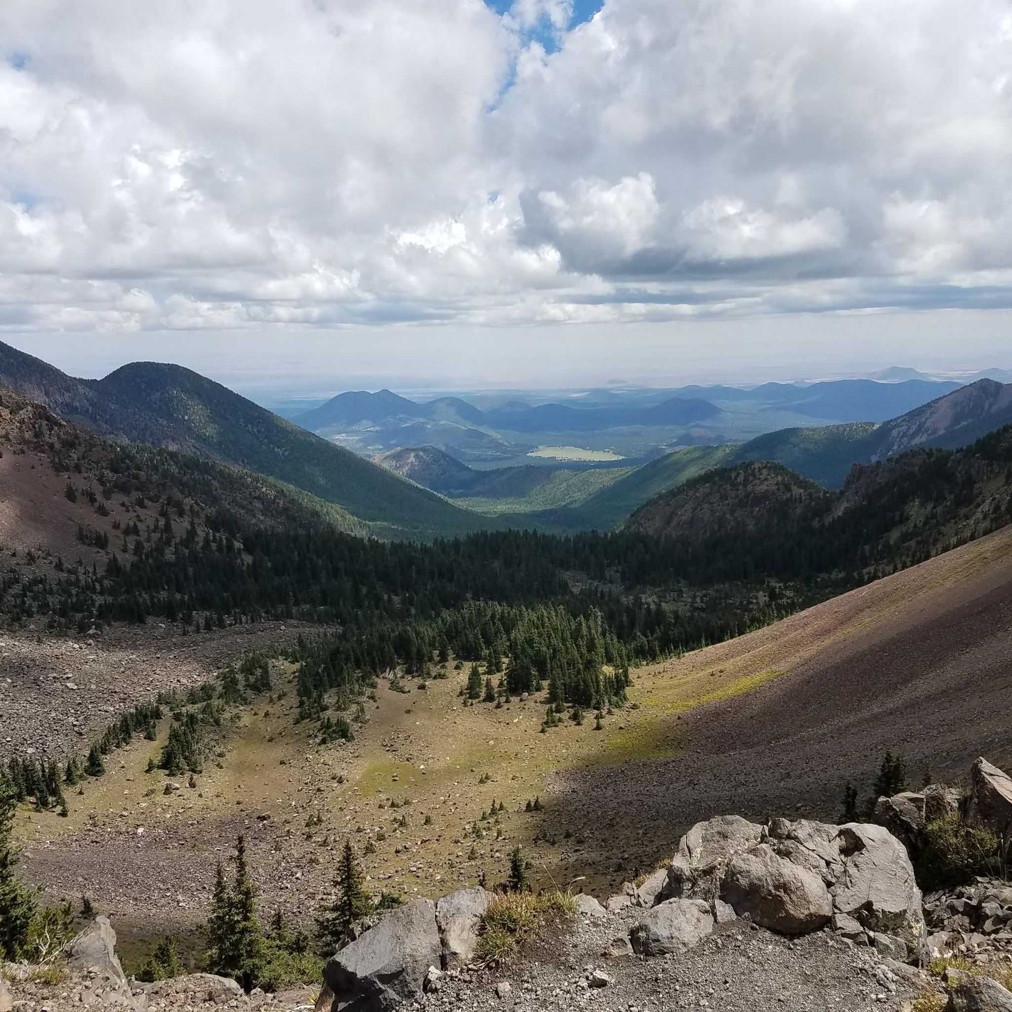
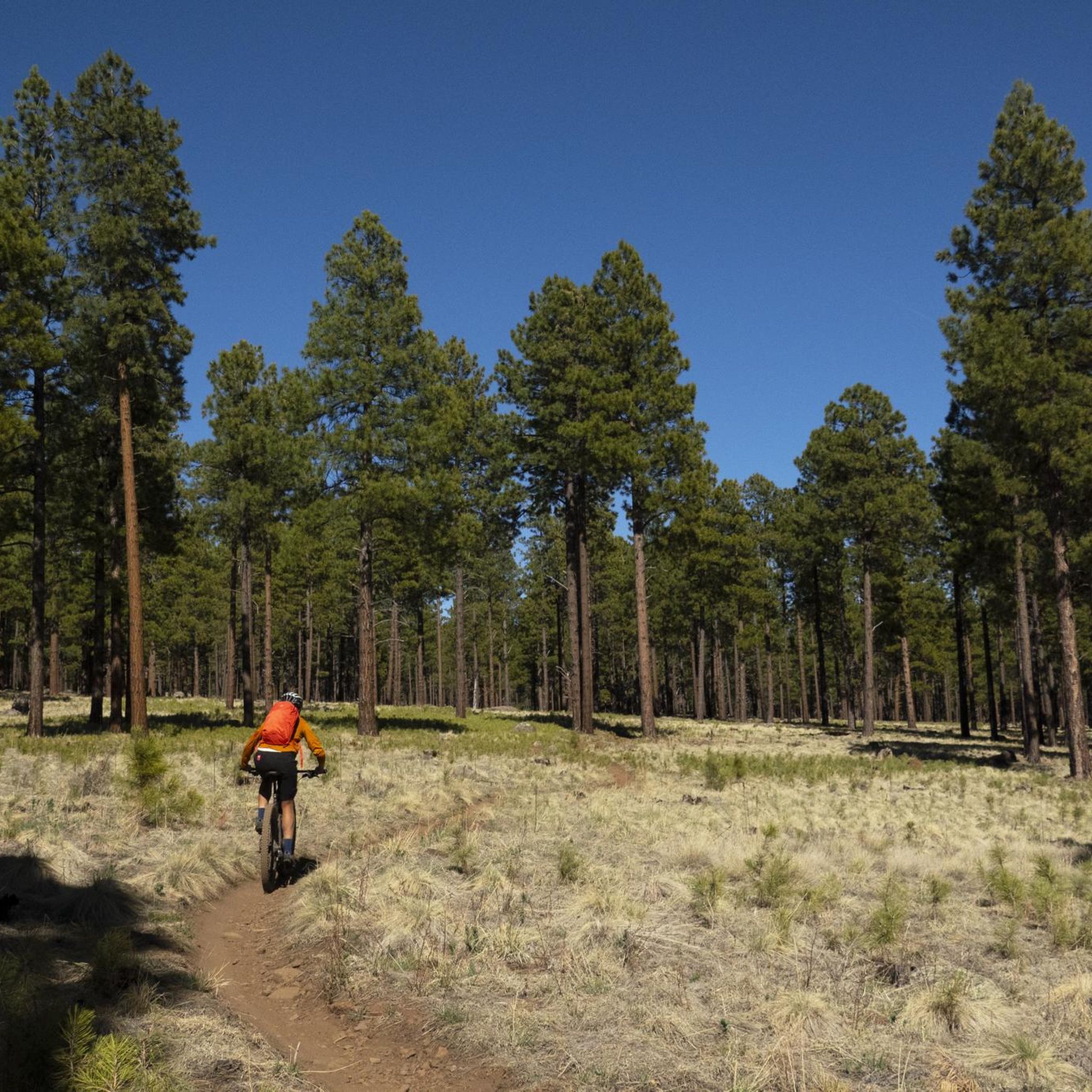
Road cycling in Kachina Peaks Wilderness is primarily experienced on paved roads surrounding the designated Wilderness area, as mechanized travel is restricted within its boundaries. The region is characterized by its volcanic past, featuring the prominent San Francisco Peaks, including Humphreys Peak, the highest point in Arizona. Cyclists can navigate well-maintained roads through Ponderosa pine forests and diverse ecosystems, often at high elevations, offering challenging climbs and panoramic views.
Best road cycling routes in Kachina Peaks Wilderness
- The most popular…
Last updated: June 30, 2026
5.0
(1)
3
riders
80.3km
03:29
760m
760m
This moderate 49.9-mile road cycling route from Humphrey's Peak View Picnic Area to Red Mountain Trailhead offers challenging climbs and sce
15
riders
30.3km
02:01
670m
670m
Moderate road ride. Good fitness required. Some segments of this route may be unpaved and difficult to ride.

Sign up for free
3.0
(1)
10
riders
Moderate road ride. Great for any fitness level. Some segments of this route may be unpaved and difficult to ride.
4.0
(1)
10
riders
23.6km
01:24
110m
110m
Moderate road ride. Great for any fitness level. Some segments of this route may be unpaved and difficult to ride.
9
riders
91.6km
04:23
1,120m
1,120m
This road cycling route from Sunset Crater to Nalakihu Pueblo offers a unique journey through Northern Arizona's diverse landscapes, blending volcanic terrain with high desert grasslands. You'll start among the…
Our route recommendations are based on thousands of hikes, rides, and runs completed by other people on komoot.
Start today with a free account
Your next adventure awaits.
Login or Signup

Tips from the Community

The Karen Cooper Trail is part of the Flagstaff Urban Trail System and passes right below the Anasazi Ridge neighborhood. There is a head-on view of Elden Mountain from the path. If heading north from here on the trail, be aware that there is a trail intersection coming up in just a couple hundred yards.
0
0

Much of the Historic Route 66 has been paved over by more modern Highways and Interstates. However, here in Flagstaff this trail aims to preserve a bit of automotive history by allowing people to explore the historic route by foot or by bike.
0
0
Just off the highway is the trail out to Red Mountain, a cinder cone volcano with a distinct, natural u-shaped amphitheater. The trail out is only a half hour hike and worth the effort if you have the time to explore.
0
0

Just off the North Fort Valley Road, you can take a break at this supreme picnic area with a great view of Humphreys Peak, Arizonas highest mountain. There are information boards, one giving facts about avalanches occurring in the state. You will find a picnic bench next to the parking lot and some trails leading into the forests.
3
0

Hop off your bike and discover Nalakihu Pueblo. This site was once the heart of a lively agricultural community from the early 1100s to the mid-1200s CE. The region offered excellent conditions for farming and hunting game animals like mule deer, elk, and pronghorn.
0
0
This is a stunning stretch of road that begins after the Visitor Center. It takes you through an unusual, moon-like landscape and across a high desert. Make sure to bring plenty of water and food, as the area is desolate and lacks cell service in many spots.
0
0
North Snow Bowl Road offers one of Arizona's top cycling climbs and is the highest paved road in the state. You will be treated to views of the surrounding mountains and Flagstaff below. Be cautious, as the road is winding.
0
0
As you ascend toward Snow Bowl or make your way back down, this is a fantastic spot to pause and enjoy the view of Kendrick Peak. It's one of the highest peaks in the San Francisco volcanic field.
1
0
Frequently Asked Questions
Are there any restrictions for road cycling within the Kachina Peaks Wilderness itself?
Yes, mechanized travel, including bicycles, is generally prohibited on trails within the official Kachina Peaks Wilderness area. However, the broader Flagstaff area, which surrounds the Wilderness, offers exceptional road cycling opportunities on well-maintained paved roads.
Where can I find suitable paved road cycling routes near Kachina Peaks Wilderness?
The Coconino National Forest, surrounding the Wilderness, provides numerous paved roads ideal for cycling. Notable routes include Snowbowl Road, known for its challenging climb and stunning views, and Lake Mary Road, offering a scenic ride with panoramic views of the San Francisco Peaks. You can also explore routes like Humphrey's Peak View Picnic Area to Red Mountain Trailhead — Flagstaff and North Snow Bowl Road – View of Kendrick’s Peak loop from Valley Crest.
What is the typical elevation gain and difficulty for road cycling routes in the Flagstaff area?
Road cycling in this high-elevation region often involves significant climbs. For instance, Snowbowl Road can see cyclists gain over 2,300 feet in elevation. Routes in the area range from moderate to difficult. For example, the Humphrey's Peak View Picnic Area to Red Mountain Trailhead — Flagstaff route has an elevation gain of over 750 meters, while the Nalakihu Pueblo – Wupatki Pueblo Overlook loop from Flagstaff Mall route features over 1200 meters of ascent.
When is the best time of year for road cycling in the Flagstaff area?
The best time for road cycling in the Flagstaff area is typically from late spring through early fall (May to October). During these months, the weather is generally pleasant, and roads are clear of snow. Flagstaff's high elevation (around 7,000 feet) makes it a popular spot for altitude training, but also means cooler temperatures than lower desert areas.
Are there any family-friendly paved bike trails in the Flagstaff area?
While many routes offer challenging climbs, the Flagstaff area does have options for less strenuous rides. Lake Mary Road, for example, is known for its wide bike lane and well-paved surfaces, making it suitable for a more relaxed experience, though it still involves rolling climbs. For specific family-friendly paved trails, it's best to check local Flagstaff resources.
What kind of scenery can I expect while road cycling near Kachina Peaks Wilderness?
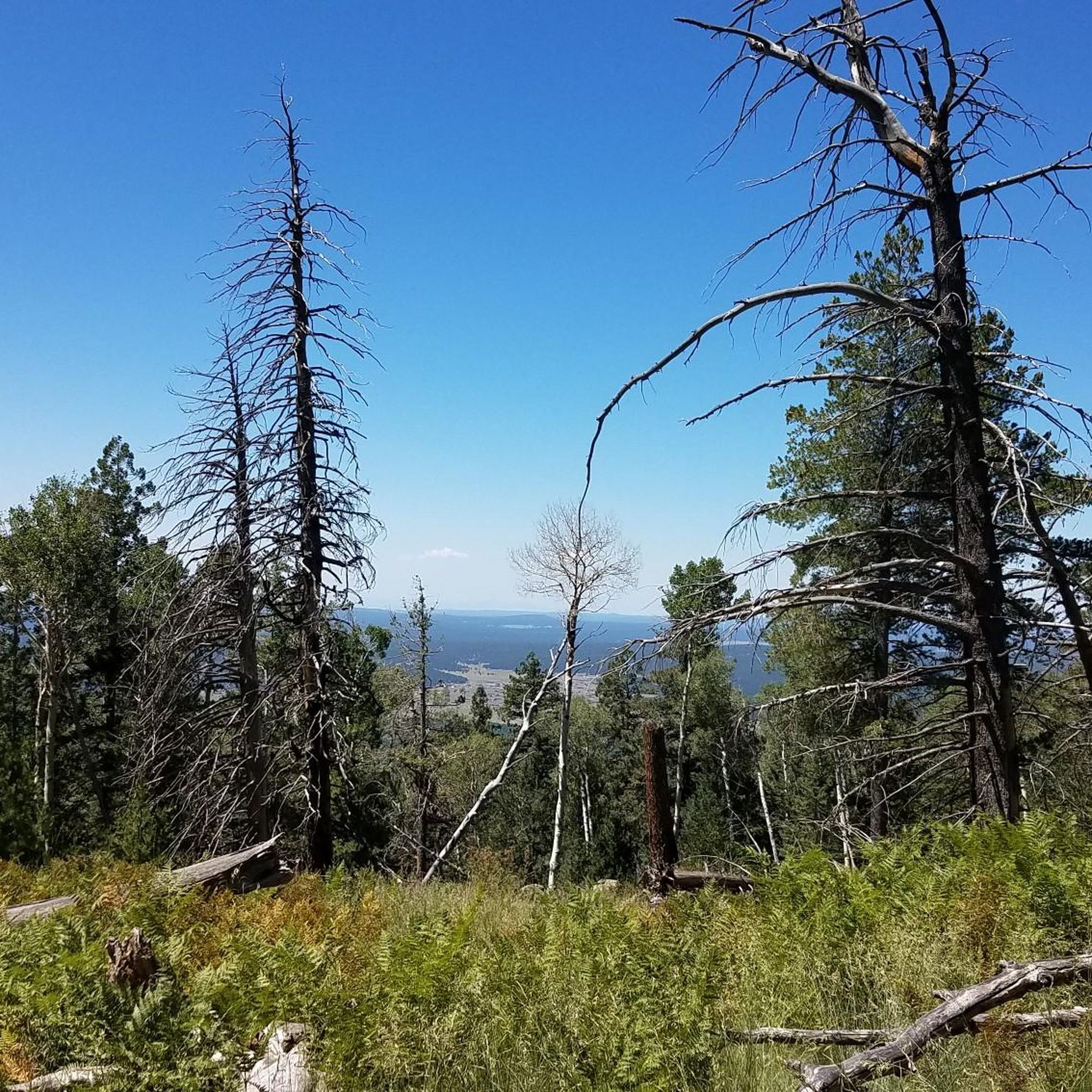
You can expect breathtaking and diverse scenery. Routes wind through dense Ponderosa pine forests, occasional aspen stands, and offer panoramic views of the San Francisco Peaks, including Arizona's highest point, Humphreys Peak. The region's volcanic past is evident in the dramatic landscapes, and you might spot wildlife such as deer and elk, especially along routes like Lake Mary Road.
What do other road cyclists enjoy most about road cycling in this region?
The area is highly rated by the komoot community, with an average score of 4.7 stars. Reviewers often praise the challenging climbs, the stunning panoramic views of the San Francisco Peaks, and the immersive experience within diverse forest ecosystems. The well-maintained paved roads and relatively low traffic on routes like Lake Mary Road also contribute to a peaceful and exhilarating ride.
Are there any loop road cycling routes available?
Yes, there are several loop options for road cyclists. For instance, the North Snow Bowl Road – View of Kendrick’s Peak loop from Valley Crest offers a moderate 30 km (18.8 mi) loop with significant climbing. Another option is the Interstate Tank – Quarry Sink loop from Museum of Northern Arizona, a 45.6 km (28.4 mi) route through varied terrain.
Where can I find parking for road cycling routes in the area?
Parking is generally available at trailheads or designated access points for popular routes. For routes starting near Flagstaff, you can often find parking in or around the city, depending on your chosen starting point. For example, the Nalakihu Pueblo – Wupatki Pueblo Overlook loop from Flagstaff Mall suggests a start from Flagstaff Mall, where parking would be available.
Are there any cafes, pubs, or accommodation options near the cycling routes?
The city of Flagstaff serves as an excellent base for road cyclists, offering a wide range of cafes, pubs, restaurants, and accommodation options. Many of the cycling routes are easily accessible from Flagstaff, allowing for convenient stops before or after your ride.
How many road cycling routes are available in the Kachina Peaks Wilderness region?
There are at least 6 road cycling routes available in the broader Kachina Peaks Wilderness region, catering to various skill levels from moderate to difficult. These routes are highly rated by the komoot community.
What are some notable natural features or landmarks visible from the cycling routes?
Beyond the stunning San Francisco Peaks, you can often see Humphreys Peak, the highest point in Arizona. The region's volcanic history is evident, and you'll ride through diverse ecosystems, from dense Ponderosa pine forests to areas with aspen stands, particularly vibrant in the fall. The Humphrey's Peak View Picnic Area to Red Mountain Trailhead — Flagstaff route offers extensive views of this prominent peak.
Most popular routes in Kachina Peaks Wilderness
Most popular attractions in Kachina Peaks Wilderness

Get inspired with the komoot mobile app


Explore more
Browse the best Road cycling routes in other regions.
