The best road cycling routes in Charles C. Deam Wilderness
5.0
(1)
137
riders
7
rides
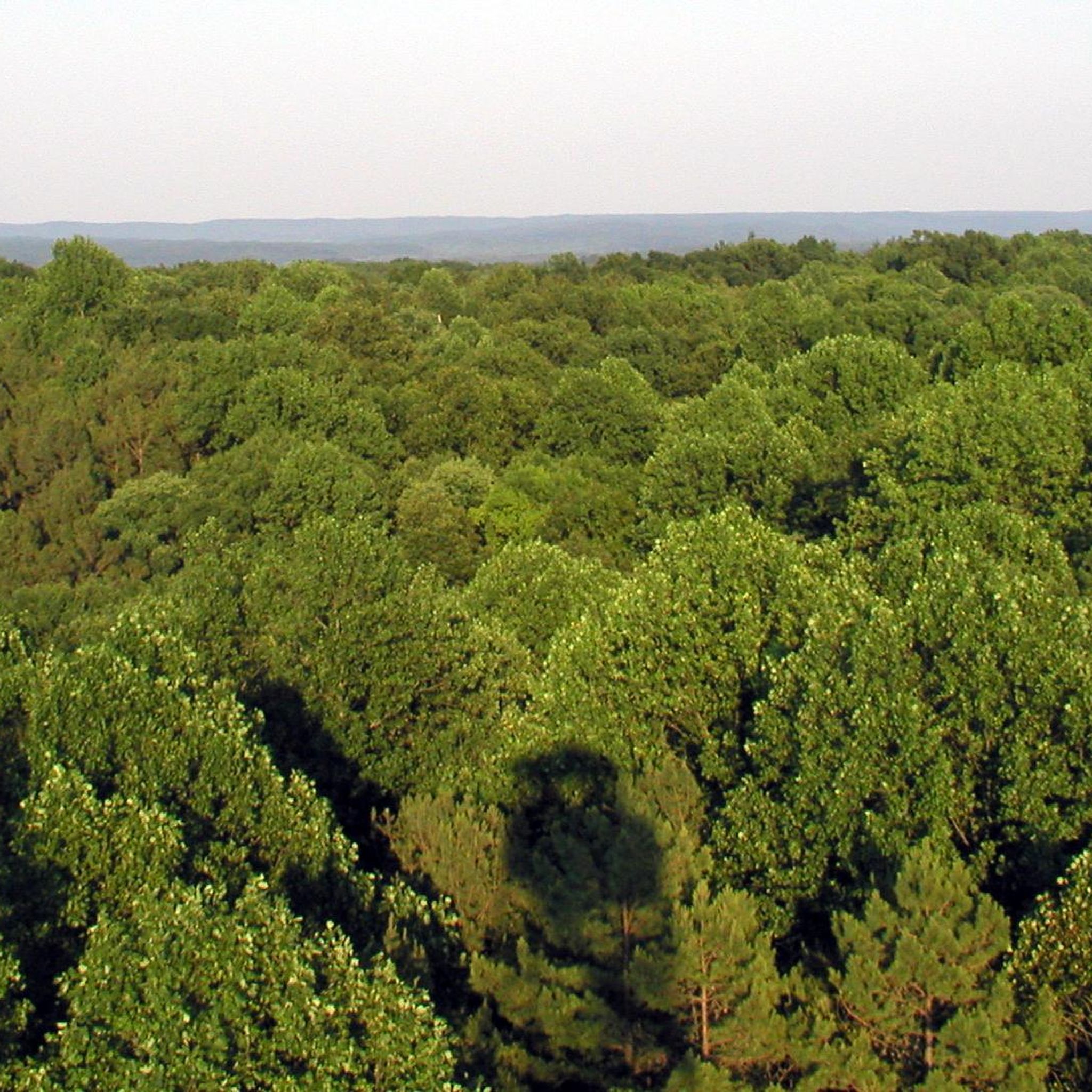
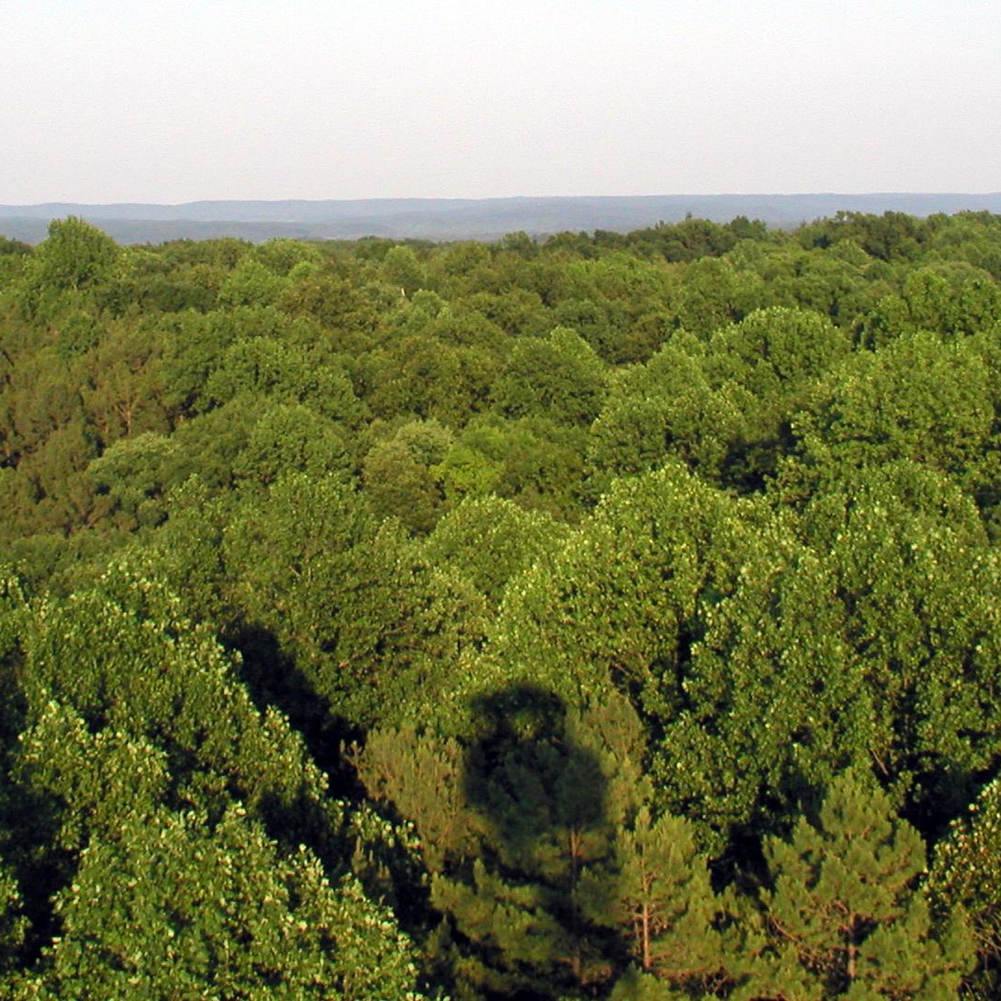
Road cycling in Charles C. Deam Wilderness offers routes through dense hardwood forests and rolling hills, characteristic of the Hoosier National Forest. The region features varied terrain with flat-topped ridges and occasional karst topography. Lake Monroe forms the northern boundary, providing scenic views along some routes. These road cycling routes navigate a landscape shaped by natural features and historical remnants.
Best road cycling routes in Charles C. Deam Wilderness
- The most popular road cycling route is Monroe Lake loop from…
Last updated: July 8, 2026
5.0
(1)
30
riders
56.5km
02:46
490m
490m
Moderate road ride. Good fitness required. Mostly well-paved surfaces and easy to ride.
1
riders
58.8km
02:59
550m
550m
Moderate road ride. Good fitness required. Some segments of this route may be unpaved and difficult to ride.

Sign up for free
10
riders
113km
05:30
1,030m
1,030m
Hard road ride. Very good fitness required. Mostly well-paved surfaces and easy to ride.
13
riders
72.5km
04:41
610m
610m
Moderate road ride. Good fitness required. Some segments of this route may be unpaved and difficult to ride.
2
riders
68.7km
03:25
580m
580m
Moderate road ride. Good fitness required. Some segments of this route may be unpaved and difficult to ride.
Get access to more routes and recommendations from other explorers.
Sign up for free
Already have an account?
Our route recommendations are based on thousands of hikes, rides, and runs completed by other people on komoot.
Start today with a free account
Your next adventure awaits.
Login or Signup



Tips from the Community

Located along the western shore of Monroe Lake, Fairfax State Recreation Area has a swimming beach, boat ramps, hiking trails, and picnic areas. It's easy to come out here and spend the full day with family and friends.
0
0

The Bloomington Rail Trail is a mostly dirt and crushed-gravel path that follows the rail bed of an old rail line. The trail is popularly used by runners, walkers, cyclists, and commuters since the trail connects to a couple other paths that travel across town. There are a couple different parking areas for this 2-mile path, so you have a couple different starting point options.
0
0

Centered around the Monroe County Courthouse, the Square is downtown Bloomington's most popular areas. With numerous eateries and cafes, it's a great place to start, end, or or pass through on a ride.
0
0
The Limestone Greenway is a pretty new trail that is completely paved. It's only 1.7 miles each direction, but it connects to a bunch of other gravel and paved paths that stretch more miles in different directions. The trail is in Monroe County, but it's far enough outside the city that it isn't usually super crowded.
0
0
The Bloomington Rail Trail is a mostly dirt and crushed-gravel path that follows the rail bed of an old rail line. The trail is popularly used by runners, walkers, cyclists, and commuters since the trail connects to a couple other paths that travel across town. There are a couple different parking areas for this 2-mile path, so you have a couple different starting point options.
0
0
Bryan Park is a popular city park in Bloomington. The park features playgrounds, boardwalks, a fitness station, a dirt walking path next to the river, and the Bryan Park Perimeter Trail, which is a paved trail a little less than a mile that circles around the park. This is a great place for an easy run that's suitable for all ability levels.
0
0
The paths, trails, and sidewalks surrounding and running through the middle of the Indiana University campus are a great place for a run, especially in the fall and winter months. The campus is full of history and a large full-time student and faculty population who use these paths to get to classes and buildings on the campus.
0
0
Centered around the Monroe County Courthouse, the Square is downtown Bloomington's most popular areas. With numerous eateries and cafes, it's a great place to start, end, or or pass through on a ride.
1
0
Frequently Asked Questions
Are bicycles allowed within the Charles C. Deam Wilderness itself?
It is important to note that wheeled vehicles, including bicycles, are explicitly prohibited within the designated Charles C. Deam Wilderness area. While this guide features road cycling routes in the surrounding region of the Hoosier National Forest, these routes do not enter the wilderness boundaries where cycling is restricted. The wilderness is primarily for hiking, backpacking, and horseback riding.
How many road cycling routes are available in the Charles C. Deam Wilderness area?
There are 8 road cycling routes featured in this guide for the area surrounding the Charles C. Deam Wilderness. These routes offer diverse experiences through hardwood forests and rolling hills.
What are the typical difficulty levels for road cycling routes in this region?
The road cycling routes in the Charles C. Deam Wilderness area are generally moderate to difficult. There are 6 moderate routes and 2 difficult routes, so beginners should be prepared for some challenging terrain and elevation changes.
Are there any long-distance road cycling routes available?
Yes, for those seeking a longer challenge, the Hoosier Hills loop is a difficult route spanning over 70 miles (112 km) with significant elevation gain, offering a substantial ride through the region.
What kind of scenery can I expect on these road cycling routes?
The routes offer scenic views of dense hardwood forests, rolling hills, and varied terrain characteristic of the Hoosier National Forest. Some routes, like the Monroe Lake loop from Allen's Creek State Recreation Area, provide picturesque views of Lake Monroe, Indiana's largest reservoir.
What are some notable attractions or landmarks near the cycling routes?
While cycling is restricted within the wilderness, the surrounding area offers several points of interest. You can find the historic Hickory Ridge Lookout Tower, which provides panoramic views, and Patton Cave for exploration. There are also various views of Lake Monroe along some routes.
What is the best time of year for road cycling in the Charles C. Deam Wilderness area?
Spring and fall are generally the best times for road cycling. In spring, you can enjoy blooming wildflowers, while fall offers vibrant foliage. Summer can be warm and humid, and visitors should be aware of ticks, chiggers, and poison ivy. Winter cycling is possible but requires preparation for colder conditions.
Can I expect to see wildlife while cycling?
The region is home to diverse wildlife. While cycling, you might spot white-tailed deer, wild turkeys, and various bird species like Acadian flycatchers and pileated woodpeckers. Be aware that venomous snakes such as timber rattlesnakes and copperheads are also present in warmer months.
Are there any loop trails for road cycling?
Yes, many of the routes are designed as loops, offering a continuous cycling experience without retracing your path. Examples include the Monroe Lake loop from Allen's Creek State Recreation Area and the Limestone Greenway – Harrodsburg Historic District loop from Fairfax.
What do other road cyclists say about the routes in this area?
The road cycling routes in the Charles C. Deam Wilderness area are highly rated by the komoot community, with an average score of 5.0 stars. Cyclists often appreciate the varied terrain and the natural beauty of the hardwood forests and lake views.
Are there any routes that pass through historic areas?
Yes, the Limestone Greenway – Harrodsburg Historic District loop from Fairfax is one such route that leads through varied terrain and includes a historic district, offering a glimpse into the area's past.
Where can I find more information about the broader Hoosier National Forest?
For more general information about the Hoosier National Forest, which encompasses the Charles C. Deam Wilderness area, you can visit the Visit Bloomington website.
Most popular routes in Charles C. Deam Wilderness
Most popular attractions in Charles C. Deam Wilderness

Get inspired with the komoot mobile app


Explore more
Browse the best Road cycling routes in other regions.
