The best cycling routes in Desolation Wilderness
4.5
(34)
673
riders
49
rides
Touring cycling in Desolation Wilderness offers routes through a landscape characterized by granite peaks, alpine lakes, and dense pine forests within the Sierra Nevada mountain range. The region features varied terrain, from paved bikeways to more challenging paths, providing diverse experiences for touring cyclists. Elevations vary, with some routes offering significant climbs and descents. This area is known for its natural beauty and proximity to Lake Tahoe, making it a popular destination for outdoor activities.
Best touring cycling routes in…
Last updated: September 28, 2026
4.0
(1)
41
riders
Moderate bike ride. Good fitness required. Mostly paved surfaces. Suitable for all skill levels.
11.8km
00:59
340m
340m
Moderate bike ride. Good fitness required. Mostly paved surfaces. Suitable for all skill levels.

4.0
(1)
29
riders
11.7km
00:40
40m
40m
Easy bike ride. Great for any fitness level. Mostly paved surfaces. Suitable for all skill levels.
5.78km
00:29
100m
100m
Hard bike ride. Great for any fitness level. You may need to push your bike for some segments of this route.
3
riders
14.1km
00:57
230m
230m
Moderate bike ride. Good fitness required. Mostly paved surfaces. Suitable for all skill levels.
Get access to more routes and recommendations from other explorers.
Already have an account?
Our route recommendations are based on thousands of hikes, rides, and runs completed by other people on komoot.
Start today with a free account
Your next adventure awaits.
Popular around Desolation Wilderness




Tips from the Community

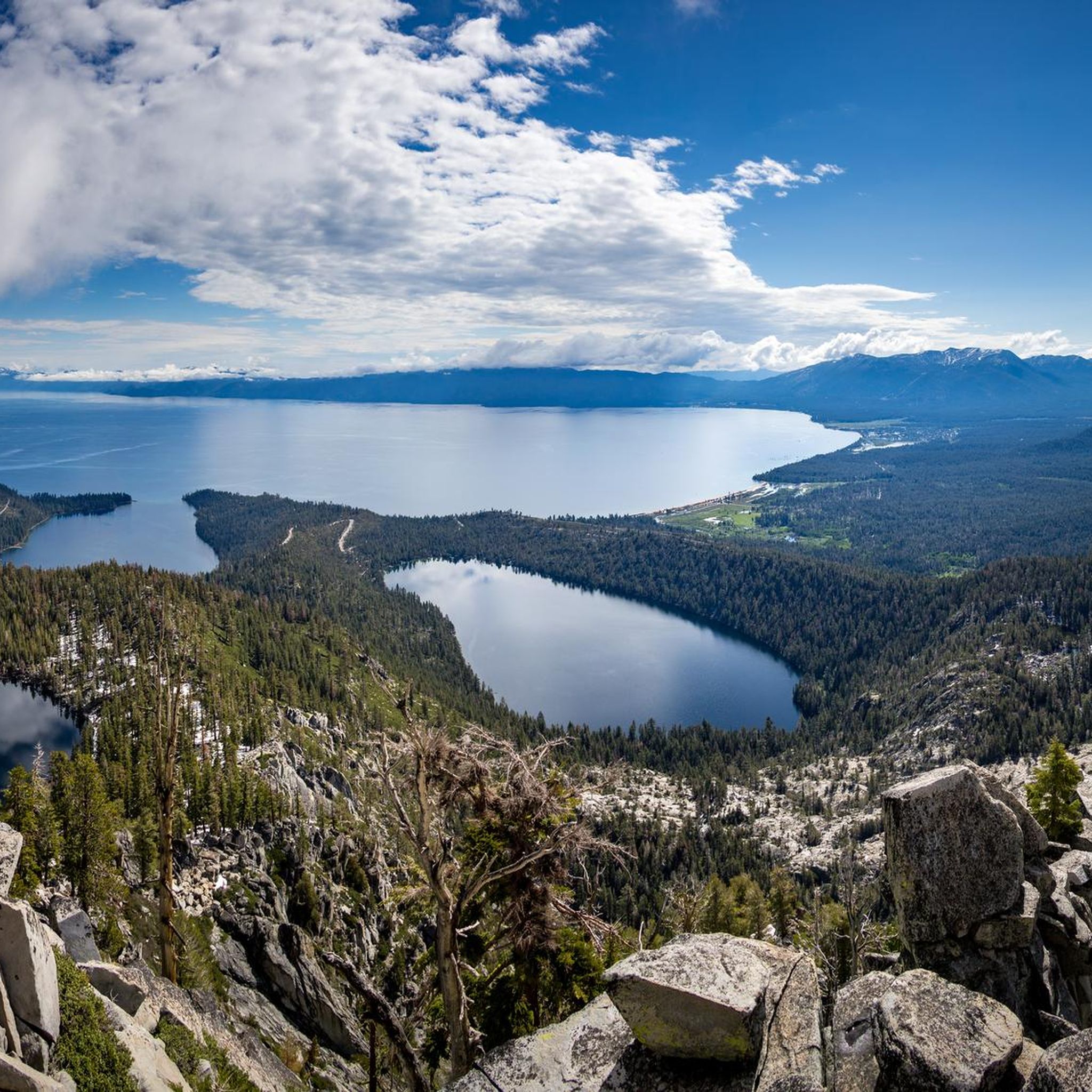
Beautiful mountain lake with crystal-clear water (unfortunately a bit cold :-))
0
0

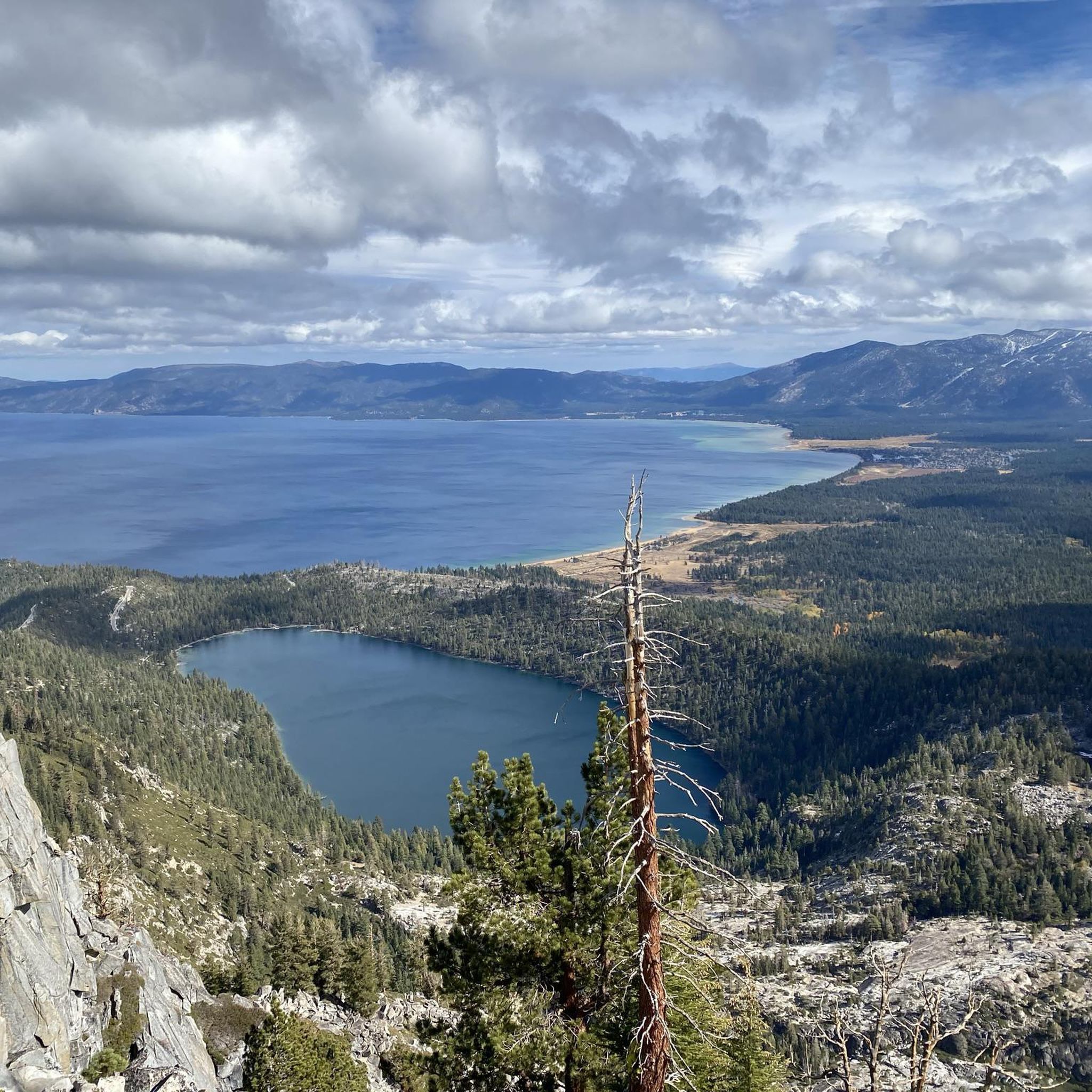
Fantastic views. Unfortunately, completely overcrowded.
0
0

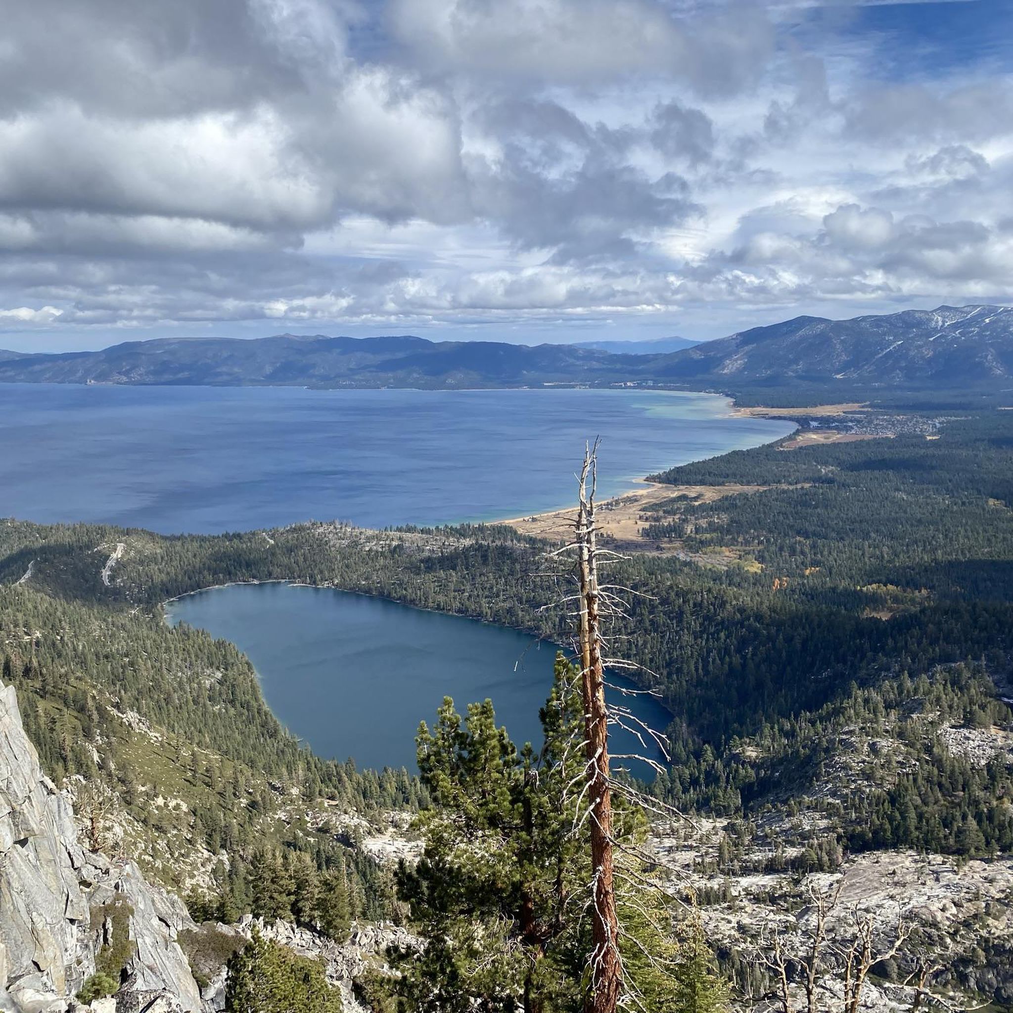
The Bayview Campground would offer a good parking lot. However, it is now closed until Spring 2025. Maybe one has to consider parking along the street during day trips.
0
0

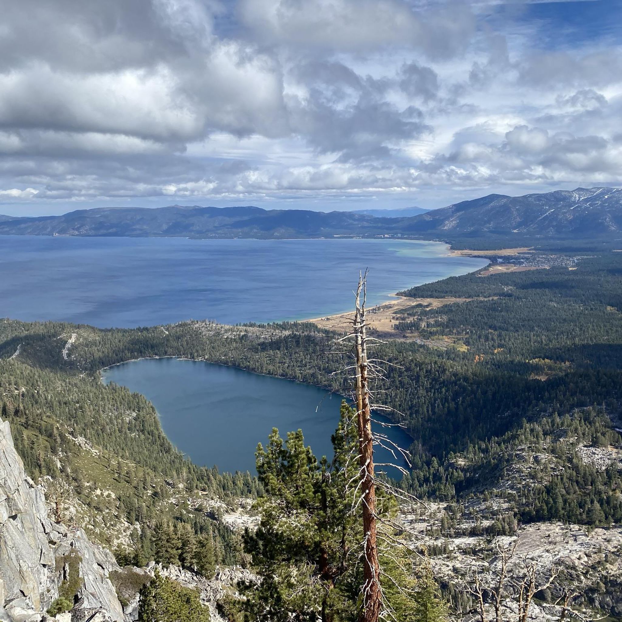
If a refueling break is needed, this might be the healthiest spot, reasonably priced, with outdoor seating near the beach, along the main drag across from the campground.
2
0

Emerald Bay Point State Park is a beautiful park that overlooks Lake Tahoe. There are several trails to choose from, that all give you great views of the lake. There are also campsite, picnic areas, and parking lots.
0
0

This bike path is part of the South Tahoe Bikeway. This segment is a popular corridor for cyclists, runners, and hikers to get from the Tahoe Keys to South Lake Tahoe. The path is well paved and has a cool elevated bridge along the way.
0
0
Frequently Asked Questions
What is the general difficulty level of touring cycling routes in Desolation Wilderness?
Desolation Wilderness offers a diverse range of touring cycling routes suitable for various skill levels. You'll find 15 easy routes, 15 moderate routes, and 12 more challenging options. For instance, the Angora Ridge Trail is considered difficult, while other paths cater to a more relaxed pace.
Are there any family-friendly touring cycling routes in Desolation Wilderness?
Yes, there are several family-friendly options, particularly among the 15 easy routes available. These routes often feature paved sections and gentler gradients, making them suitable for cyclists of all ages. Look for routes with lower elevation gain and shorter distances for the most comfortable family experience.
What kind of terrain can I expect on touring cycling routes in Desolation Wilderness?
The terrain in Desolation Wilderness is quite varied, reflecting its Sierra Nevada setting. You can expect routes that traverse granite peaks, wind past alpine lakes, and cut through dense pine forests. Some paths are paved bikeways, while others are more rugged, offering a mix of surfaces and challenges.
What are some notable natural attractions I can see along touring cycling routes?
Many routes offer stunning views and access to natural landmarks. You might encounter beautiful alpine lakes such as Eagle Lake, Granite Lake, or Fontanillis Lake. The majestic Upper Eagle Falls is another highlight, and you can often find Stunning Mountain Scenery throughout the region.
Are there any loop or circular touring cycling routes available?
Yes, Desolation Wilderness features several loop routes that allow you to start and end at the same point, offering a convenient way to explore. An example of a challenging loop is the Emerald Bay Inspiration Point – Emerald Bay loop from Rubicon Point Light, which covers approximately 55 km.
What is the best time of year for touring cycling in Desolation Wilderness?
The ideal time for touring cycling in Desolation Wilderness is typically from late spring through early fall (May to October). During these months, the weather is generally mild, and most trails are free of snow. Always check local conditions, especially in spring when higher elevations may still have snowmelt.
Can I find cafes or places to eat near the bike trails?
While Desolation Wilderness itself is a protected area with limited services, its proximity to Lake Tahoe means you'll find various cafes, restaurants, and amenities in nearby towns. Plan your route to pass through or near communities like South Lake Tahoe for refreshment stops.
What do other touring cyclists appreciate most about cycling in Desolation Wilderness?
The touring cycling routes in Desolation Wilderness are highly rated by the komoot community, with an average score of 4.6 stars from over 17 reviews. Cyclists often praise the breathtaking natural beauty, the variety of terrain, and the opportunity to experience the serene alpine environment.
Are there any specific permits required for touring cycling in Desolation Wilderness?
As Desolation Wilderness is a federally protected wilderness area, specific regulations apply. While day-use permits are generally not required for cycling on designated paths, overnight stays or certain activities may necessitate a wilderness permit. It's always best to check the official U.S. Forest Service website for the most current permit requirements before your trip.
Where can I find parking near the touring cycling trailheads?
Parking availability varies by trailhead. Many popular access points, especially those near Lake Tahoe or state parks, offer designated parking areas. However, during peak season, these can fill up quickly. Arriving early is recommended, and always observe posted parking regulations to avoid fines.
Are there opportunities for wild swimming after a bike ride?
Given the abundance of alpine lakes within and around Desolation Wilderness, there are indeed opportunities for refreshing dips after your ride. Lakes like Eagle Lake or Granite Lake offer pristine waters, but always be mindful of water temperatures, which can be quite cold, and any local regulations regarding swimming in wilderness areas.
How does touring cycling in Desolation Wilderness compare to Lake Tahoe bike trails?
Desolation Wilderness offers a more rugged and immersive wilderness experience, with routes often featuring greater elevation changes and less developed paths. Lake Tahoe bike trails, such as the South Tahoe Bikeway, tend to be more developed, often paved, and hug the lake shore, providing easier access and generally flatter terrain with stunning lake views. Both offer unique and beautiful cycling experiences.
Most popular routes in Desolation Wilderness
Most popular attractions in Desolation Wilderness

Get inspired with the komoot mobile app


Explore more
Browse the best Cycling routes in other regions.
