The best road cycling routes in Desolation Wilderness
5.0
(1)
365
riders
22
rides
Road cycling in Desolation Wilderness offers routes through a landscape characterized by granite peaks, alpine lakes, and dense pine forests of the Sierra Nevada. The region provides diverse terrain for road cyclists, from lakeside paths to routes with significant elevation gain. Many scenic stops Desolation Wilderness road biking opportunities exist along these routes, showcasing the natural beauty of the area.
Best road cycling routes in Desolation Wilderness
- The most popular road cycling route is Meeks Bay Resort – Blackwood Creek…
Last updated: June 24, 2026
3
riders
14.7km
00:40
130m
130m
Easy road ride. Great for any fitness level. Mostly well-paved surfaces and easy to ride.
73
riders
75.5km
03:37
930m
930m
Hard road ride. Very good fitness required. Some segments of this route may be unpaved and difficult to ride.

Sign up for free
12
riders
33.6km
01:29
140m
140m
Easy road ride. Great for any fitness level. Mostly well-paved surfaces and easy to ride.
24
riders
24.6km
01:09
90m
90m
Easy road ride. Great for any fitness level. Mostly well-paved surfaces and easy to ride.
47
riders
43.2km
01:53
200m
200m
Easy road ride. Great for any fitness level. Mostly well-paved surfaces and easy to ride.
Get access to more routes and recommendations from other explorers.
Sign up for free
Already have an account?
Our route recommendations are based on thousands of hikes, rides, and runs completed by other people on komoot.
Start today with a free account
Your next adventure awaits.
Login or Signup


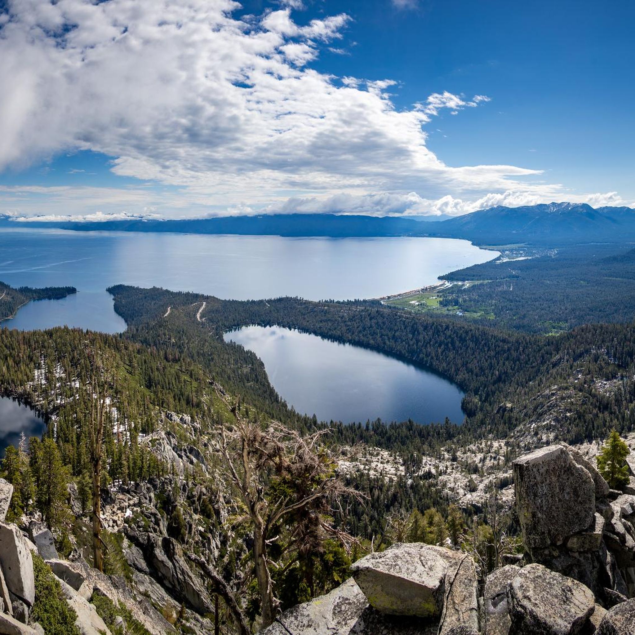
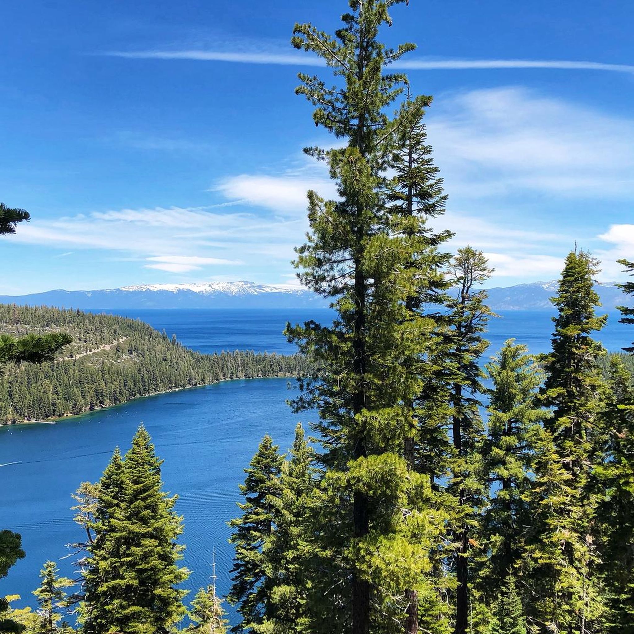
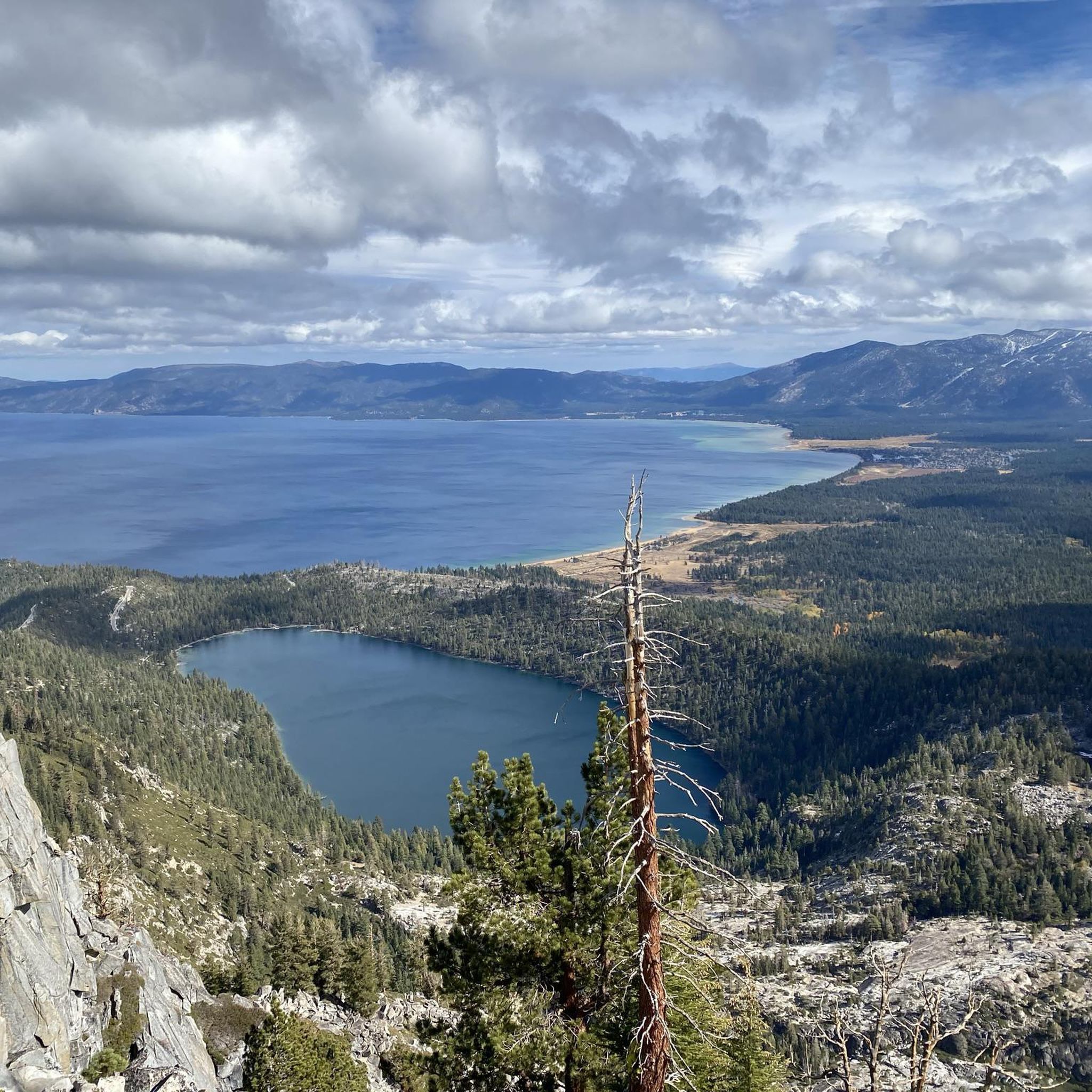
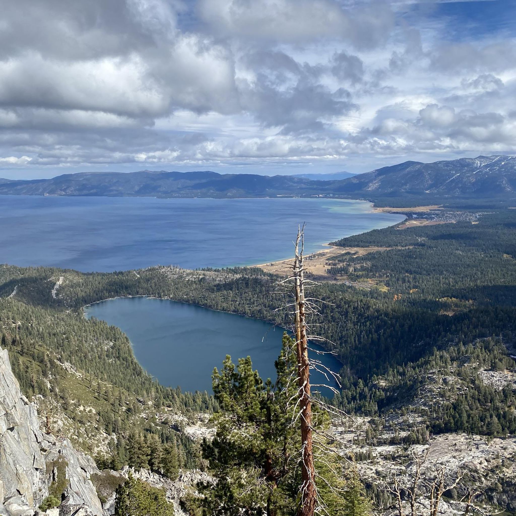


Tips from the Community

Fantastic views. Unfortunately, completely overcrowded.
0
0

A smattering of picnic tables dot the water's edge and a signpost helps identify native and non-native fish in the pond. This is a fantastic place to bring kids, with a highly accessible shoreline and shaded wall to sit on at the edge of the water. It's also a great spot to take a break from your ride!
0
0

The Bayview Campground would offer a good parking lot. However, it is now closed until Spring 2025. Maybe one has to consider parking along the street during day trips.
0
0

Perfect paved dedicated bike trail in safe distance from roads
2
0

This state park has nearly two miles of shoreline and over 2,500 acres of forested mountains. The name of this park changed from Sugar Pine Point State Park to Ed Z'berg Sugar Pine Point State Park in 2009 to honor Edwin L. Z'berg, a very environmentally-involved California state assemblyman.
0
0
This state park has nearly two miles of shoreline and over 2,500 acres of forested mountains. The name of this park changed from Sugar Pine Point State Park to Ed Z'berg Sugar Pine Point State Park in 2009 to honor Edwin L. Z'berg, a very environmentally-involved California state assemblyman.
0
0

The South Tahoe Bikeway, also called the 15th Street Bikeway and Pope Baldwin Bike Path, is an easy out and back paved trail. There are amazing views of the water, massive redwood trees, and some relaxing picnic areas.
0
0

The West Shore Trail is a popular multi-use trail from Tahoe City to Meeks Bay. It gives you great views of Lake Tahoe and is mostly off-road.
0
0
Frequently Asked Questions
How many road cycling routes are available in Desolation Wilderness?
There are over 20 road cycling routes available in Desolation Wilderness, catering to various skill levels. You'll find a good mix of easy and moderate options to explore the region.
Are there beginner-friendly road cycling routes in Desolation Wilderness?
Yes, Desolation Wilderness offers several easy road cycling routes. For instance, the Meeks Bay Resort – Blackwood Creek loop from Rubicon Properties is an easy 17.6-mile (28.3 km) loop that follows the western shore of Lake Tahoe, perfect for a relaxed ride.
What kind of terrain can I expect on road cycling routes in Desolation Wilderness?
Road cycling in Desolation Wilderness features a diverse mix of terrain. You'll encounter lakeside roads offering stunning views, forested sections providing shade, and routes with significant elevation gain as you climb through the Sierra Nevada mountains.
Are there more challenging road cycling routes for experienced riders?
Absolutely. For those seeking a greater challenge, routes like the Emerald Bay Inspiration Point – Tahoma loop from Employee Parking offer moderate difficulty with substantial elevation gain, providing a rewarding experience for advanced cyclists.
What are some scenic stops or attractions I can see along the road cycling routes?
Many routes offer scenic stops. You can enjoy views of Eagle Lake, Granite Lake, and the majestic Mount Tallac Summit. Don't miss the beautiful Upper Eagle Falls for a refreshing break.
Do I need a permit to road cycle in Desolation Wilderness?
While road cycling on paved roads generally does not require a wilderness permit, if your route takes you into the federally designated Desolation Wilderness area on unpaved trails or for overnight stays, a permit may be required. Always check with the U.S. Forest Service for the latest regulations before your ride.
What is the best season for road biking in Desolation Wilderness?
The best season for road biking in Desolation Wilderness is typically from late spring through early fall (May to October). During these months, the weather is generally mild, and most roads are clear of snow, offering optimal riding conditions and access to scenic areas.
Are there any good loop routes for road cycling in the area?
Yes, Desolation Wilderness features several excellent loop routes. A popular choice is the Tahoe City – Kings Beach-Crystal Bay loop from Ed Z'berg Sugar Pine Point State Park, a moderate 44.6-mile (71.8 km) path that circles a significant portion of Lake Tahoe, providing varied terrain and panoramic vistas.
What do other road cyclists say about their experience in Desolation Wilderness?
The road cycling routes in Desolation Wilderness are highly rated by the komoot community, with an average score of 5.0 stars. Cyclists often praise the stunning lake views, the challenging climbs, and the overall natural beauty of the Sierra Nevada landscape.
Are there family-friendly cycling options in Desolation Wilderness?
For families, routes with less elevation gain and paved paths are ideal. The Sawmill Pond loop from Flagpole Peak is an easy 9.1-mile (14.6 km) trail through forested areas, suitable for a family outing.
Where can I find parking for road biking routes in Desolation Wilderness?
Parking availability varies by trailhead. Many popular starting points, especially around Lake Tahoe, offer designated parking areas. It's advisable to check specific route details on komoot for recommended parking locations near your chosen starting point, such as the parking near Upper Truckee River Bike Path – South Lake Tahoe Beach loop.
Most popular routes in Desolation Wilderness
Most popular attractions in Desolation Wilderness

Get inspired with the komoot mobile app


Explore more
Browse the best Road cycling routes in other regions.
