The best road cycling routes in Beaver Dam Mountains Wilderness
46
riders
3
rides
Road cycling in Beaver Dam Mountains Wilderness offers routes through varied desert landscapes and along river valleys. The region is characterized by its natural wilderness, with routes often following the Virgin River and passing through local park areas. Cyclists can expect a mix of flat sections and gentle ascents, providing diverse terrain for road biking. The area's geology includes features typical of the Mohave County desert environment.
Best road cycling routes in Beaver Dam Mountains Wilderness
- The most popular road cycling route is Virgin River Trail loop from Arizona Inspection Station, a 59.2 miles (95.3 km) trail that takes about 4 hours 34 minutes to complete. This route offers extensive views along the Virgin River.
- Another top favourite among local road cyclists is Virgin River Trail loop from Practice Sand Trap, a moderate 21.6 miles (34.8 km) path. This route provides scenic stretches through the desert landscape and alongside the river.
- Local road cyclists also love the Virgin River Trail South – Bloomington Park loop from Freedom Preparatory Academy, a 12.5 miles (20.1 km) trail leading through riverine areas and Bloomington Park, often completed in about 57 minutes.
- Road cycling in Beaver Dam Mountains Wilderness is defined by river valleys, desert landscapes, and local park areas. The network offers options for easy and moderate ability levels.
- The guide includes highly-rated routes that showcase the best of the region's landscape. More than 90 road cyclists have used komoot to explore Beaver Dam Mountains Wilderness's varied terrain.
Last updated: July 8, 2026
8
riders
96.6km
04:37
610m
610m
Moderate road ride. Good fitness required. Some segments of this route may be unpaved and difficult to ride.
25
riders
Easy road ride. Great for any fitness level. Mostly well-paved surfaces and easy to ride.

Sign up for free
2
riders
Easy road ride. Great for any fitness level. Mostly well-paved surfaces and easy to ride.
3
riders
99.5km
04:28
940m
940m
Hard road ride. Very good fitness required. Some segments of this route may be unpaved and difficult to ride.
8
riders
36.8km
01:33
100m
100m
Moderate road ride. Great for any fitness level. Some segments of this route may be unpaved and difficult to ride.
Our route recommendations are based on thousands of hikes, rides, and runs completed by other people on komoot.
Start today with a free account
Your next adventure awaits.
Login or Signup
Popular around Beaver Dam Mountains Wilderness


Tips from the Community

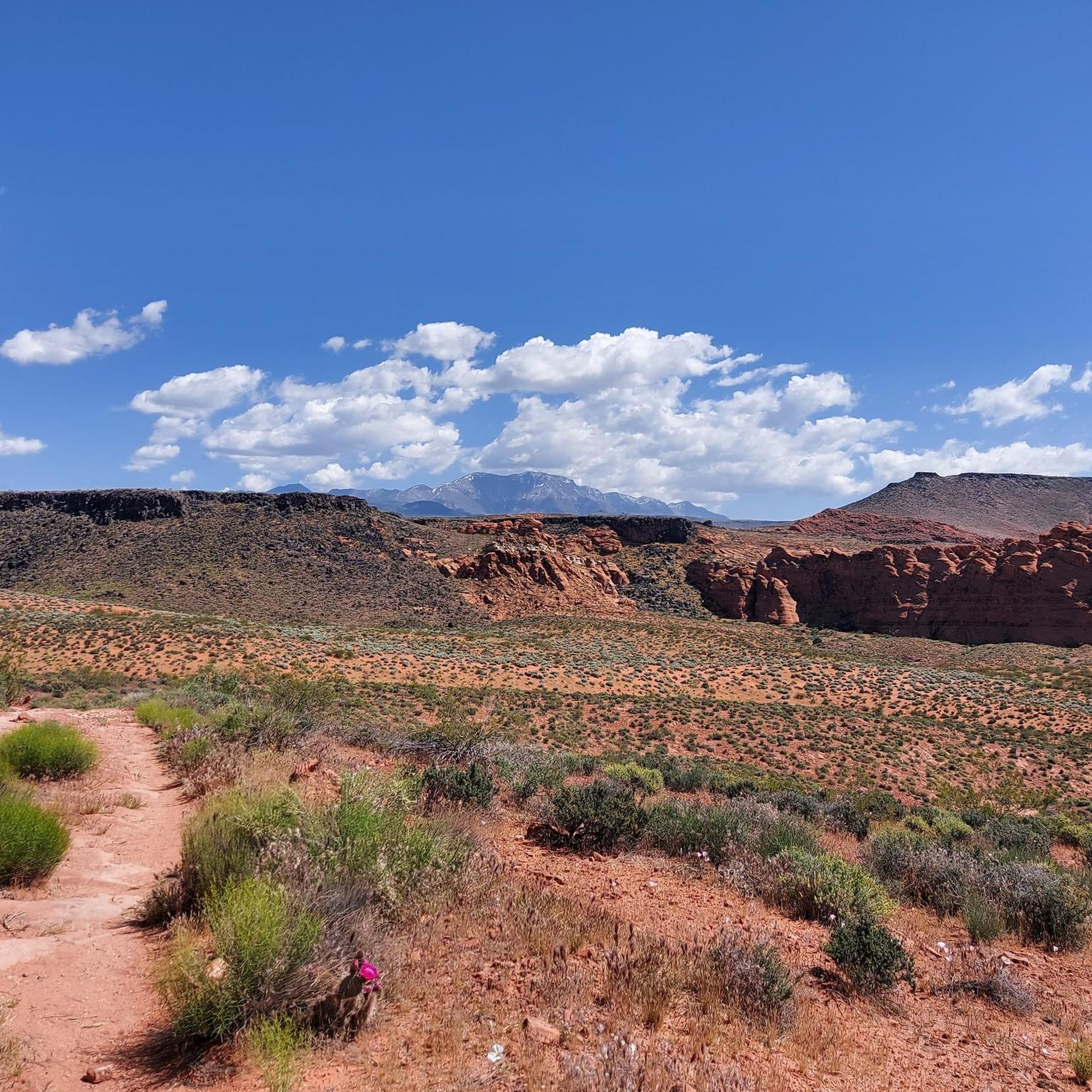
The mountain gets its color from Navajo Sandstone, which is the same type of rock found in nearby Zion National Park. Over time, wind and water have shaped this sandstone into beautiful cliffs, canyons, and unique rock formations.
0
0

Lakes, mountains all beautiful and wonderful!
0
0

No, it's not a mirage, Sand Hollow State Park is a real oasis in the desert. Popular for all kinds of outdoor activities you can stop by along your ride for a cool-down swim, enjoy the incredible views, or top up your water supply.
0
0

Bloomington Park, along the Virgin River Trail South, has sports fields and a playground for kids. The park has views of the Virgin River and public restrooms.
0
0

This 800-acre preserve is home to the dwarf beer poppy, which only grows in Washington County. The Poppy blooms from late April to mid May, which makes that window the best time to visit.
0
0
This 800-acre preserve is home to the dwarf beer poppy, which only grows in Washington County. The Poppy blooms from late April to mid May, which makes that window the best time to visit.
0
0
This trail stretches along the Virgin River for 12 miles and is popular with runners, walkers, and cyclists. As such you'll need to keep an eye out for other trail users when you're not soaking up the views.
0
0
No, it's not a mirage, Sand Hollow State Park is a real oasis in the desert. Popular for all kinds of outdoor activities you can stop by along your ride for a cool down swim, enjoy the incredible views, or top up your water supply.
0
0
Frequently Asked Questions
How many road cycling routes are available in Beaver Dam Mountains Wilderness?
There are 4 road cycling routes in the Beaver Dam Mountains Wilderness listed on komoot, offering a variety of experiences through desert landscapes and along river valleys.
What is the best time of year for road cycling in the Beaver Dam Mountains Wilderness?
The ideal seasons for road cycling in the Beaver Dam Mountains Wilderness are spring and fall. During these times, temperatures are milder and more comfortable for extended rides, avoiding the extreme heat of summer and potential chill of winter.
Are there any easy or beginner-friendly road cycling routes in the area?
Yes, there are easy routes suitable for beginners. For instance, the Virgin River Trail South – Bloomington Park loop from Freedom Preparatory Academy is an easy 12.5-mile (20.1 km) ride through riverine areas and Bloomington Park. Another easy option is the Bloomington Park – Virgin River Trail South loop from Paparazzi Acessories, which covers 24.5 miles (39.5 km).
Are there challenging road cycling routes for experienced riders?
For experienced riders seeking a challenge, the Bloomington to Sand Hollow State Park loop is a difficult route spanning over 61.8 miles (99.5 km) with significant elevation changes, offering a demanding ride through varied terrain.
What kind of scenery can I expect on these road cycling routes?
Road cycling routes in the Beaver Dam Mountains Wilderness primarily feature diverse desert landscapes, often following the Virgin River. You'll encounter scenic stretches with views of rugged mountains, canyons, and the unique flora of the Mojave Desert ecosystem.
Are there any circular road cycling routes available?
Yes, many of the routes are circular. Examples include the popular Virgin River Trail loop from Arizona Inspection Station, a 59.2-mile (95.3 km) loop, and the shorter Virgin River Trail loop from Practice Sand Trap, which is 21.6 miles (34.8 km) long.
What should I pack for a road cycling trip in the Beaver Dam Mountains Wilderness?
Given the desert environment, it's crucial to pack plenty of water, sun protection (sunscreen, hat, sunglasses), and appropriate layers for fluctuating temperatures. A repair kit for your bike and snacks are also recommended, as services can be sparse on some routes.
Are there any family-friendly road cycling options?
Routes like the Virgin River Trail South – Bloomington Park loop from Freedom Preparatory Academy are generally considered easy and could be suitable for families with older children or those comfortable with longer distances, especially the sections within Bloomington Park.
What are the typical durations for road cycling routes in this region?
Route durations vary significantly. Shorter, easy routes like the Virgin River Trail South – Bloomington Park loop can be completed in under an hour, while longer, more challenging routes such as the Virgin River Trail loop from Arizona Inspection Station can take over 4.5 hours.
What do other road cyclists enjoy most about the Beaver Dam Mountains Wilderness?
Road cyclists often praise the varied terrain, which includes both flat sections and gentle ascents, and the extensive views along the Virgin River. The natural wilderness character of the region and the opportunity to explore the unique desert landscape are frequently highlighted.
Where can I find parking or trailheads for these routes?
Many routes start near accessible points in or around St. George, Utah, or along the Virgin River. For example, the Virgin River Trail loop from Arizona Inspection Station begins near the Arizona Inspection Station, while other routes originate from locations like Freedom Preparatory Academy or Practice Sand Trap, which typically offer parking options.
Is wildlife spotting common while road cycling?
While road cycling, you might encounter various desert wildlife, including birds of prey, lizards, and small mammals. Keep an eye out, especially during cooler parts of the day, but remember to maintain a respectful distance from all animals.

Get inspired with the komoot mobile app


Explore more
Browse the best Road cycling routes in other regions.
