The best road cycling routes in Cottonwood Canyon Wilderness
4.6
(7)
1,087
riders
34
rides
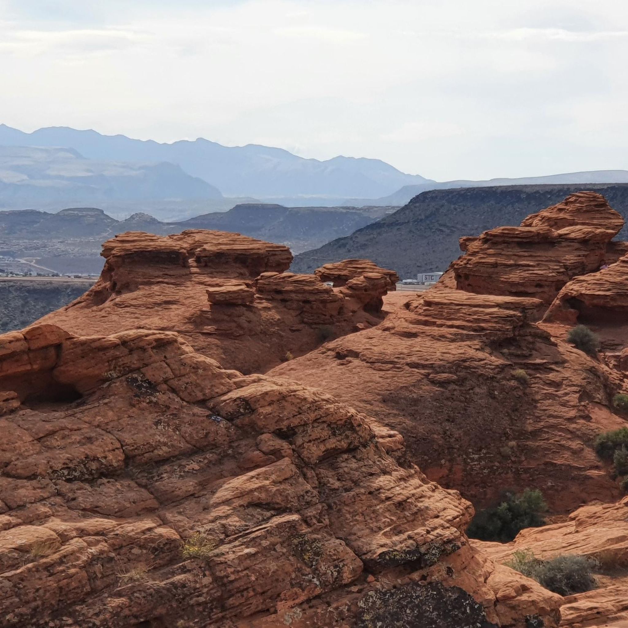
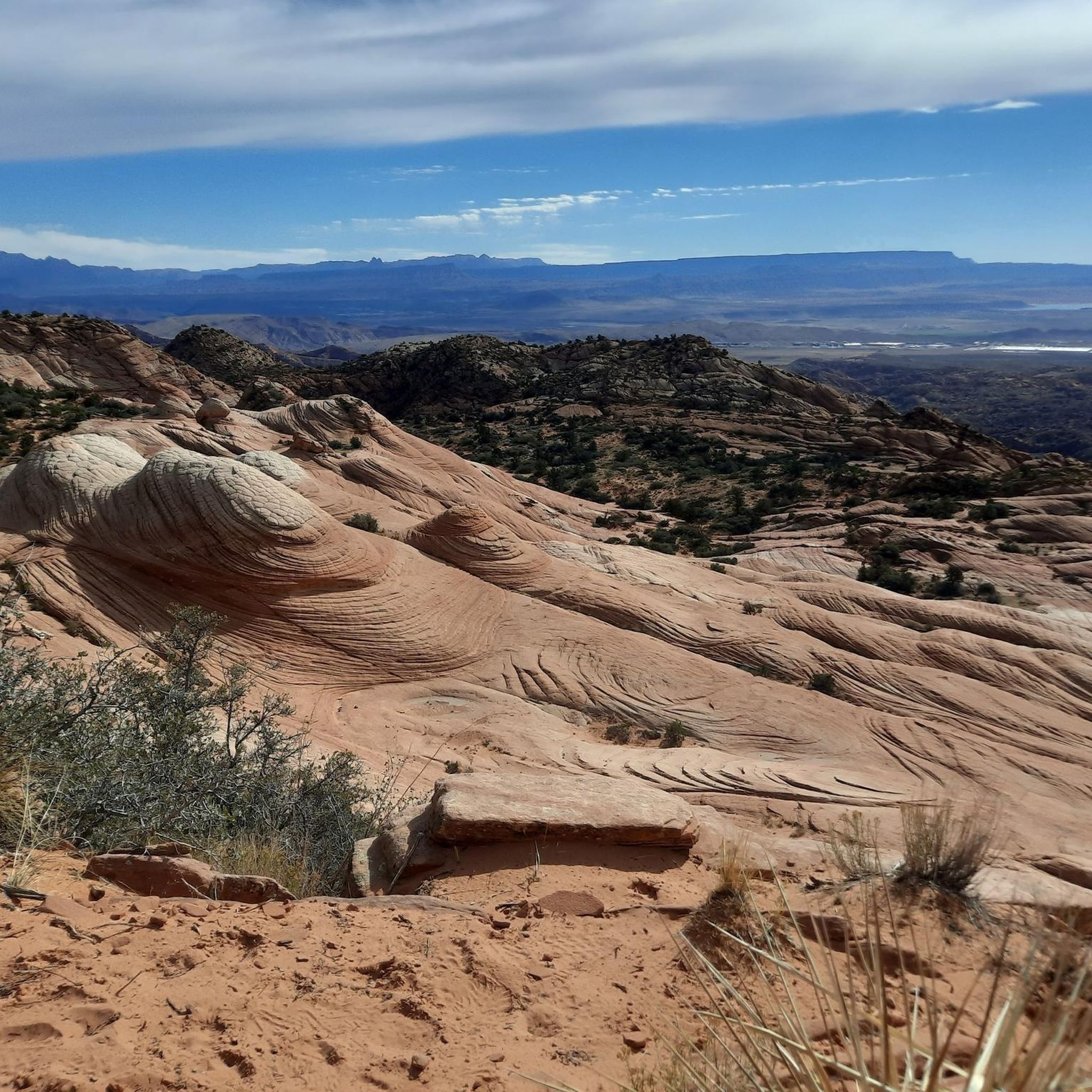
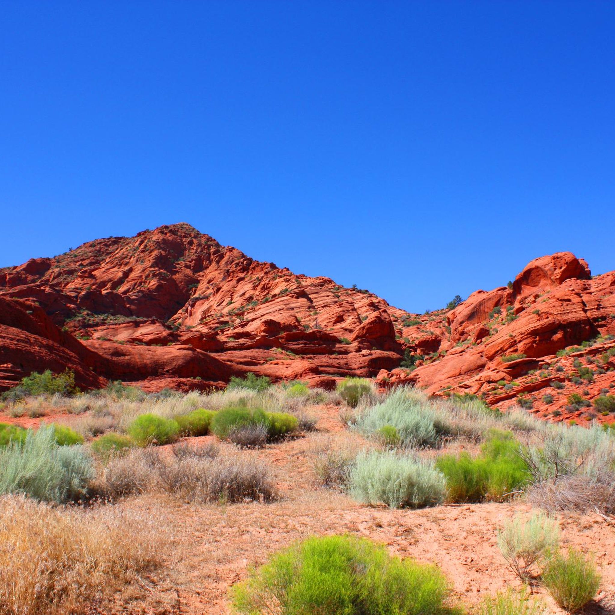
Road cycling routes in Cottonwood Canyon Wilderness are found in the surrounding region, as direct cycling is prohibited within the designated wilderness area. The landscape is characterized by dramatic Jurassic-age Navajo Sandstone formations, sculpted into rounded domes and numerous small canyons, featuring distinctive red and white cliffs. This area, part of the Mojave Desert ecosystem, offers varied terrain for road cyclists to explore.
Best road cycling routes in Cottonwood Canyon Wilderness
- The most popular road cycling route is Harrisburg Ghost Town Ruins – Quail Creek Reservoir loop from Harrisburg, a 7.7 miles (12.4 km) trail that takes 41 minutes to complete. This route passes by historic sites and a scenic reservoir.
- Another top favourite among local road cyclists is Bloomington Park – Virgin River Trail loop from Coral Canyon, a moderate 40.8 miles (65.7 km) path. This route offers views of Bloomington Park and follows sections of the Virgin River Trail.
- Local road cyclists also love the Sand Hollow State Park – Virgin River Trail loop from Coral Canyon, a 30.2 miles (48.7 km) trail leading through Sand Hollow State Park, often completed in about 2 hours 14 minutes.
- Road cycling in Cottonwood Canyon Wilderness is defined by Navajo Sandstone formations, red and white cliffs, and the Mojave Desert ecosystem. The network offers options for easy and moderate ability levels.
- The routes in Cottonwood Canyon Wilderness are highly rated by the komoot community with an average score of 4.0 stars from a few reviews. More than 1,500 road cyclists have used komoot to explore Cottonwood Canyon Wilderness's varied terrain.
Last updated: July 8, 2026
11
riders
12.4km
00:41
110m
110m
Moderate road ride. Great for any fitness level. Some segments of this route may be unpaved and difficult to ride.
24
riders
65.7km
02:53
500m
500m
Moderate road ride. Good fitness required. Mostly well-paved surfaces and easy to ride.

Sign up for free
16
riders
43.3km
01:57
470m
470m
Moderate road ride. Good fitness required. Mostly well-paved surfaces and easy to ride.
29
riders
51.8km
02:28
650m
650m
Moderate road ride. Good fitness required. Mostly well-paved surfaces and easy to ride.
23
riders
Easy road ride. Great for any fitness level. Mostly well-paved surfaces and easy to ride.
Get access to more routes and recommendations from other explorers.
Sign up for free
Already have an account?
Our route recommendations are based on thousands of hikes, rides, and runs completed by other people on komoot.
Start today with a free account
Your next adventure awaits.
Login or Signup
Popular around Cottonwood Canyon Wilderness
Tips from the Community

Scrambling up to the top of this massive rock is pretty much a rite of passage in St. George. So is watching for traffic on the busy Red Hills Parkway — ride carefully!
0
0

Lakes, mountains all beautiful and wonderful!
0
0
A very exceptional park, beautiful to look at.
0
0

River Rock Roasting Company is a local favorite with coffee and full-size entrees. The cafe's back patio has a beautiful view of a canyon and the Virgin River, as well as mountain vistas in the background.
1
0

No, it's not a mirage, Sand Hollow State Park is a real oasis in the desert. Popular for all kinds of outdoor activities you can stop by along your ride for a cool-down swim, enjoy the incredible views, or top up your water supply.
0
0
Bloomington Park, along the Virgin River Trail South, has sports fields and a playground for kids. The park has views of the Virgin River and public restrooms.
0
0

With warm blue waters and red stone landscape Sand Hollow Reservoir is a popular destination for water enthusiasts. Located in Sand Hollow State Park, which is a great place to camp, picnic, boat, fish or ride ATVs.
0
0
Quail Creek Reservoir sits in Quail Creek State Park and has some of the warmest water in the state. With the long warm weather season it's very popular with water sport and fisherman.
0
0
Frequently Asked Questions
Can I road cycle directly within the Cottonwood Canyon Wilderness?
No, direct road cycling is prohibited within the designated Cottonwood Canyon Wilderness area itself. However, the surrounding region, often referred to as 'Cottonwood Canyon,' offers excellent road cycling routes that allow you to experience the area's stunning landscapes and natural features.
What kind of landscapes can I expect to see while road cycling in the Cottonwood Canyon region?
The region is characterized by dramatic geological formations, primarily massive blocks of Jurassic-age Navajo Sandstone. You'll encounter distinctive rounded domes, numerous small canyons, and vibrant red and white sandstone cliffs, creating an 'austere and intimate' landscape often compared to parts of Zion National Park. The area also features the diverse flora and fauna of the Mojave Desert ecosystem.
How many road cycling routes are available in the Cottonwood Canyon region?
There are over 30 road cycling routes available in the broader Cottonwood Canyon region, catering to various skill levels. These include 14 easy routes and 18 moderate routes, ensuring options for most cyclists.
Are there any family-friendly road cycling routes in the area?
Yes, the region offers several routes suitable for families. For instance, the Harrisburg Ghost Town Ruins – Quail Creek Reservoir loop from Harrisburg is a shorter, moderate route at 7.7 miles (12.4 km) that passes by historic sites and a scenic reservoir, making it an engaging option for a family outing.
What are some notable landmarks or points of interest along the road cycling routes?
Cyclists can explore historic sites like Harrisburg Ghost Town Ruins, enjoy views of Bloomington Park, or ride through scenic areas such as Sand Hollow State Park. Routes also often follow sections of the Virgin River Trail and pass by Quail Creek Reservoir.
What is the best time of year to go road cycling in the Cottonwood Canyon region?
The Mojave Desert climate means that spring and fall generally offer the most pleasant temperatures for road cycling. Summers can be very hot, and while winters are mild, occasional cold fronts can occur. Checking local weather forecasts before your ride is always recommended.
What is the general difficulty level of road cycling routes in this area?
The road cycling routes in the Cottonwood Canyon region are primarily categorized as easy to moderate. There are 14 easy routes and 18 moderate routes, with no routes currently listed as difficult, making it accessible for a wide range of cyclists.
Are there any longer, more challenging road cycling routes for experienced riders?
For experienced riders seeking a longer challenge, the Bloomington Park – Virgin River Trail loop from Coral Canyon is a moderate 40.8 miles (65.7 km) path offering significant distance and varied terrain. Another option is the Dixie Rock (Sugarloaf) loop from Razor Ridge Park, which covers nearly 49 km and features notable elevation gain.
What do other road cyclists enjoy most about road cycling in the Cottonwood Canyon region?
The area is highly rated by the komoot community, with an average score of 4.0 stars. Reviewers often praise the stunning natural beauty, the unique Navajo Sandstone formations, and the variety of routes that allow for exploration of the Mojave Desert ecosystem.
Are there any loop routes available for road cycling?
Yes, many routes in the region are designed as loops. For example, the Sand Hollow State Park – Virgin River Trail loop from Coral Canyon is a popular 30.2-mile (48.7 km) loop that takes you through Sand Hollow State Park.
Where can I find information about the Cottonwood Canyon Wilderness itself, beyond cycling routes?
For detailed information about the designated Cottonwood Canyon Wilderness, including regulations, hiking trails, and natural features, you can visit the official Bureau of Land Management website: blm.gov/visit/cottonwood-canyon-wilderness.
Are there any specific considerations for wildlife when road cycling in the area?
The region is home to diverse wildlife, including mule deer, bobcats, and various bird species like golden eagles and red-tailed hawks. While road cycling, it's always good practice to be aware of your surroundings and give wildlife ample space. Keep an eye out for smaller creatures like the Mojave Desert tortoise, which is a federally listed threatened species.
Most popular routes in Cottonwood Canyon Wilderness

Get inspired with the komoot mobile app


Explore more
Browse the best Road cycling routes in other regions.
