4.5
(6446)
31,774
hikers
1,823
hikes
Hiking trails in Forlì-Cesena traverse a diverse landscape, from the rolling hills and vineyards near the cities to the mountainous terrain of the Apennino Tosco-Romagnolo. The region features extensive trail networks, including ancient beech forests, volcanic cliffs, and river valleys. A significant portion of the area is covered by the Parco Nazionale delle Foreste Casentinesi, Monte Falterona e Campigna, offering varied elevations and natural features.
Last updated: May 10, 2026
4.6
(223)
730
hikers
10.4km
04:11
460m
460m
The Anello dell’Acquacheta trail offers a captivating hiking experience within Italy's Foreste Casentinesi, Monte Falterona, and Campigna National Park. You'll traverse natural paths, dirt roads, and dense woodlands, including ancient beech and fir forests, leading to the dramatic 70-meter Acquacheta waterfall. This moderate hike covers 6.5 miles (10.4 km) with an elevation gain of 1505 feet (459 metres), typically taking around 4 hours and 11 minutes to complete. The route also features the Lavane waterfall, with its bright green pool, and the historic Molino dei Romiti, an old stone mill. Expect varied landscapes, from verdant meadows to steep torrents, especially vibrant with wildlife like fish and frogs in spring.
The classic loop for the Anello dell’Acquacheta starts and ends in the charming village of San Benedetto in Alpe. While the trail is mostly accessible, it requires good physical fitness and sure-footedness due to potentially uneven paths. You should wear sturdy trekking shoes with good grip to navigate the inconsistent terrain. Remember to bring sufficient water, snacks, and appropriate clothing layers for changing weather conditions. A map or GPS device and a first-aid kit are also recommended for your safety.
This trail is renowned for its natural beauty and historical significance, particularly the Acquacheta waterfall, famously mentioned by Dante Alighieri in his *Divine Comedy*. Dante's reference to the "infernal cascade" imbues the landscape with a profound cultural connection, making it a significant site for both nature lovers and literary enthusiasts. The area is considered a "wild corner of earthly paradise" nestled among majestic forests. The trail also intersects with other well-known paths, including sections of the Alta Via dei Parchi and the Cammino di Dante.
4.6
(169)
602
hikers
11.3km
04:19
650m
650m
Embark on the Ridracoli Loop Trail for a rewarding hike through the heart of Parco Nazionale delle Foreste Casentinesi. This moderate route spans 7.0 miles (11.3 km) and involves a significant elevation gain of 2119 feet (646 metres), typically taking around 4 hours and 19 minutes to complete. As you traverse the path, you will find yourself immersed in ancient, dense forests, offering a profound sense of wilderness and glimpses of the stunning Lago di Ridracoli, whose emerald waters can be admired from various elevated viewpoints.
To prepare for your visit, remember that this trail is considered moderate, meaning you should have good fitness and be sure-footed, especially for some of the steeper ascents. Sturdy hiking boots are highly recommended to navigate the potentially uneven terrain, even on well-maintained sections. The most common starting point for the Ridracoli Loop Trail is near the impressive Ridracoli Dam, which also provides convenient parking options.
This route truly showcases the rich flora and fauna of the Foreste Casentinesi National Park, offering diverse natural landscapes including views of surrounding mountains and valleys, and even small natural waterfalls along the way. The unique character of Lago di Ridracoli, often compared to a Northern-European fjord, adds a distinctive visual element to your hiking experience, making it a notable journey within the region.

Sign up for free
4.7
(129)
429
hikers
14.5km
05:20
730m
730m
Embark on the Cammino di Assisi: Monte Tiravento and Monte Arsiccio Loop, a difficult hike that takes you through diverse terrain and offers expansive views. This 9.0 miles (14.5 km) route challenges you with 2402 feet (732 metres) of elevation gain, typically completed in about 5 hours and 20 minutes. You will traverse natural paths, gravel, and exposed ridges, particularly on Monte Tiravento, where you can enjoy magnificent vistas that stand out from the usual dense forests of the Casentinesi National Park. Look for the Howling Cave of Premilcuore along the way, a unique landmark on this rewarding journey.
Planning your visit requires good fitness and sure-footedness, so make sure you wear sturdy hiking shoes. The trail includes sections with thin, slippery gravel and exposed ridges, demanding careful navigation. While there are no specific warnings about road closures or permits, be aware that the route can become quite busy, especially during spring and autumn. Prepare for continuous uphill climbs and consider starting early to avoid crowds and enjoy the cooler parts of the day.
This loop offers a distinct experience within the Parco Nazionale delle Foreste Casentinesi, Monte Falterona e Campigna, moving beyond the typical forest canopy to reveal open landscapes. Beyond the panoramic views, you will encounter glimpses of monumental oaks and wild valleys, showcasing the rich natural environment. The trail's unique combination of challenging ascents and varied scenery makes it a notable option for experienced hikers seeking a different perspective of the region.
4.7
(126)
400
hikers
8.09km
02:58
410m
410m
The Bivacco Nasseto da Guarchiere trail is a moderate hike covering 5.0 miles (8.1 km) with an elevation gain of 1338 feet (408 metres), typically taking 2 hours and 58 minutes to complete. You'll begin with an immediate ascent, following a river and passing a beautiful Roman bridge. The path winds through diverse environments, from submontane oak and fir forests to more humid areas near the Fosso delle Gualchiere stream. As you hike, you'll encounter unique "lunar crests" formed by marly sandstone, resembling badlands from ancient underwater landslides. The trek offers varied scenery, including the historic Borgo delle Gualchiere and distant views of valleys like Verghereto and Monte Fumaiolo. Upon reaching the Nasseto plateau, you are rewarded with 360-degree views of mountains and forests. The undulating Nasseto grassland, with its white marly sandstone layers, adds to the unique landscape. This route leads into the "wilderness area" of Fosso del Capanno, known for its wild nature. You will also pass a votive chapel along the way. The trail provides glimpses of Monte Zuccherodante. The path includes a mix of wooded areas, with mixed hornbeam and oak forests. You will traverse different natural environments, moving through submontane areas around 600-700 meters above sea level, characterized by oak and fir trees. The trail often begins with an immediate ascent. The trek offers varied and picturesque scenery. You'll pass through the historic Borgo delle Gualchiere, an ancient settlement with a mill and fuller's earth machinery dating back to the 16th century. Along the way, there's a votive chapel and views of distant valleys like Verghereto and Monte Fumaiolo, where the Tiber River originates. The trail provides glimpses of Monte Zuccherodante and leads into the "wilderness area" of Fosso del Capanno, known for its wild nature. Upon reaching the Nasseto plateau, hikers are rewarded with 360-degree views of mountains and forests. The undulating Nasseto grassland, once known as "Biancheria di Romagna" due to its white marly sandstone layers, adds to the unique landscape. The trail often begins with an immediate ascent, initially following a river and passing a beautiful Roman bridge. Hikers will traverse different natural environments, moving through submontane areas around 600-700 meters above sea level, characterized by oak (roverelle and cerri) and fir trees. As the path continues, it includes a mix of wooded areas, with mixed hornbeam and oak forests, and more humid environments near the Fosso delle Gualchiere stream. A particularly notable geological feature is the "lunar crests" formed by marly sandstone and arid depressions, sometimes described as badlands, which are the result of ancient underwater landslides creating jagged humps. The trek offers varied and picturesque scenery. You'll pass through the historic Borgo delle Gualchiere, an ancient settlement with a mill and fuller's earth machinery dating back to the 16th century. Along the way, there's a votive chapel and views of distant valleys like Verghereto and Monte Fumaiolo, where the Tiber River originates. The trail provides glimpses of Monte Zuccherodante and leads into the "wilderness area" of Fosso del Capanno, known for its wild nature. Upon reaching the Nasseto plateau, hikers are rewarded with 360-degree views of mountains and forests. The undulating Nasseto grassland, once known as "Biancheria di Romagna" due to its white marly sandstone layers, adds to the unique landscape.
While generally considered accessible, proper equipment like trekking shoes and comfortable clothing is recommended for this hike. You should also carry sufficient water, as some sections involve sustained climbs. The trail can become slippery on certain ridges, especially after rain, so it is not recommended during rainy weather or in winter conditions. This route is classified as moderate, but its varied terrain requires attention to footing. Plan your visit during dry periods to best enjoy the diverse landscapes and historical sites.
The Bivacco Nasseto itself is a significant point of interest, serving as a self-managed, unguarded mountain shelter within an ancient, uninhabited farmstead from the 1500s. This bivouac was historically an inn on the Via Romea Germanica, a medieval pilgrim route connecting Romagna with Tuscany and Rome. The trail is also a designated Geosite of the Emilia-Romagna region due to its unique geological formations, showcasing the
4.4
(106)
306
hikers
8.19km
02:44
390m
380m
Embark on a moderate 5.1-mile (8.2 km) hike through the Emilia-Romagna hills, a journey that typically takes about 2 hours and 43 minutes with 1269 feet (387 metres) of elevation gain. The trail leads you along ancient paths, offering glimpses of the region's natural beauty. You will discover the impressive Cascata dell'Alferello, a 30-meter high waterfall with a shallow pool perfect for cooling off. Along the way, you can also explore the Sasso Spaccato, a massive sandstone boulder naturally split in two, creating a unique passage.
To begin your adventure, head to Alfero village, where the path starts near the old cemetery. Parking is conveniently available at Località Mazzi, making it easy to access the trailhead. This route is well-marked, guiding you through the varied terrain. Consider starting your hike in the morning to enjoy the tranquil atmosphere and avoid the warmest parts of the day, especially during summer months.
This trail follows part of the historic CAI trail 135, an ancient mulattiere that once connected mountain villages. You will pass the Ponte Romano, a stone bridge built in 1839, adding a touch of history to your hike. The route winds through mixed forests of beech and chestnut, showcasing the diverse ecosystem of the Apennines. The combination of historical pathways and natural wonders makes this a notable hike in the region.
4.2
(126)
252
hikers
5.71km
01:52
250m
250m
Embark on the Source of the Rubicone and Passo dei Meloni loop tour, an easy hike covering 3.5 miles (5.7 km) with an elevation gain of 821 feet (250 metres), typically completed in about 1 hour and 51 minutes. As you hike, you will experience diverse terrain, including unpaved sections, natural paths, asphalt, and gravel, with occasional short, steep climbs. The route offers panoramic views stretching from the Tuscan-Romagna Apennines to the Adriatic Riviera, showcasing unique "calanchi" or gullies that give some areas a distinct lunar appearance. You will also pass the historical source of the Rubicone River and the Sorgente dell'Urgone, featuring a small lake surrounded by reeds, alongside wooded sections and ancient oak trees.
This trail is located in the Sogliano al Rubicone area of Italy and is considered accessible for a wide range of fitness levels, making it suitable for most hikers. While the path is generally easy, be prepared for varied surfaces and some inclines. No specific details regarding trailhead access, parking, public transport, permits, or fees are provided, but the trail's accessibility suggests it is straightforward to begin. It is a great option for a relatively quick outdoor escape, offering both natural beauty and historical intrigue.
The area holds significant historical weight, traversing the Rubicon Valley, famously crossed by Julius Caesar. The Passo dei Meloni ridge itself was a vital connection and trade route, even used for sulfur transport in the 1700s. Beyond its history, the trail is known for its unique geological formations, particularly the dramatic "calanchi" at Passo dei Meloni, which contribute to its otherworldly feel. This region is sometimes called the "Sentiero delle Farfalle" or Butterfly Trail due to the many colorful butterflies you might encounter. The extensive views from Passo dei Meloni encompass both mountains and the sea, providing a memorable backdrop to your hike.
4.4
(105)
300
hikers
7.82km
02:35
390m
390m
Embark on the Cascata Alferello from Alferello loop tour, a moderate hike spanning 4.9 miles (7.8 km) with an elevation gain of 1265 feet (385 metres), typically taking 2 hours and 34 minutes to complete. You will wind through mixed forests, including chestnut woods, following the Alferello stream. The highlight is the 32-meter Cascata dell'Alferello, a stunning waterfall plunging over rocky steps into crystal-clear pools, surrounded by marly-arenaceous rock formations. Along the way, you will also discover a Roman bridge and the unique Sasso Spaccato, a large, naturally split sandstone rock you can walk through.
When planning your visit, be aware that while many paths are accessible, some sections near the waterfall can be steep and potentially slippery, especially after rain. Sturdy hiking shoes are highly recommended for sure-footedness on these parts. The initial and final ascents on the loop can also be demanding, particularly during warm weather. The natural pools at the base of the waterfall offer opportunities for swimming and cooling off, making it a popular destination in summer.
This trail is notable for the Cascata dell'Alferello, considered one of central Italy's most beautiful waterfalls and a significant natural attraction in Romagna. Beyond the waterfall, the route offers diverse points of interest, including the geological formations of the Sasso Spaccato and the historical Roman bridge. The area's wild and romantic nature, nestled in the Emilia-Romagna Apennines, provides a tranquil escape with natural beauty and adventure.
4.8
(59)
259
hikers
15.1km
06:36
940m
940m
Embark on a difficult 9.4-mile (15.1 km) hike through the Casentinesi Forests National Park, a journey that typically takes around 6 hours and 36 minutes and includes a substantial 3082 feet (939 metres) of elevation gain. This circular route immerses you in ancient beech forests, leading to the summit of Monte Penna where you can enjoy magnificent panoramic views of the Romagnolo side and surrounding woodlands. You will also discover the picturesque Foresta della Lama, a wide clearing with open meadows and crystal-clear streams, offering a diverse and engaging experience.
To begin your adventure, head to Passo Fangacci, often accessible by car, though be prepared for a potentially unpaved final stretch. This challenging excursion requires good physical preparation, so plan your day accordingly, allowing for the full 6 to 8 hours that the loop can take. The trail involves a mix of ascents and descents, including some steep sections like the "Scalandrini" trail with its stone steps, so wear appropriate footwear and bring enough supplies.
This trail is notable for its location within a UNESCO World Heritage site, recognized for its ancient and pristine forests. You will traverse diverse ecosystems, observing old-growth trees and habitats for wildlife like black woodpeckers. The contrast between the rugged mountain slopes and the gentle, partly marshy plains of La Lama, along with impressive waterfalls such as the 90-meter cascade at Fosso degli Scalandrini, makes this a truly unique and ecologically rich experience.
4.8
(29)
144
hikers
12.3km
04:54
570m
570m
Embark on the Monte Falco and Monte Falterona — Ring Tour, a moderate hike spanning 7.6 miles (12.3 km) with an elevation gain of 1884 feet (574 metres), typically completed in 4 hours and 54 minutes. You will traverse diverse terrain, from wide paths through ancient beech forests to steep sections leading to the Falterona meadows. Enjoy immense panoramic views from terraces marking the border between Romagna and Tuscany, looking out over the Apennine chain, Casentino valley, and Mugello. The route offers a mix of mountain paths, unpaved sections, and some alpine terrain, providing a varied and engaging experience.
To best enjoy this journey, ensure you wear sturdy shoes and are prepared for some steep sections that may require sure-footedness. While accessible for those with good fitness, parts of the trail demand attention, especially on alpine terrain. The fall season is particularly recommended for its vibrant foliage, transforming the forests into a spectacle of colors. In winter, snow can dramatically alter the landscape, offering a different, yet equally rewarding, experience for prepared hikers.
This trail takes you to Monte Falco and Monte Falterona, the highest peaks in the Casentino Forests National Park, often called the “roof of the Casentino Forests.” Monte Falterona is famously known as the source of the Arno River, a fact even referenced by Dante Alighieri. The area also holds historical significance, with routes potentially leading to the archaeological site of Lago degli Idoli, known for its Etruscan artifacts. An integral nature reserve protects the rare alpine vegetation around Monte Falco, which also marks the territorial boundary between Emilia-Romagna and Tuscany.
4.7
(67)
176
hikers
8.99km
02:56
400m
400m
Embark on the Source of the Tiber and Biancaneve Refuge loop tour, a moderate hike through Italy's scenic Apennine mountains. This route covers 5.6 miles (9.0 km) with an elevation gain of 1321 feet (403 metres), taking approximately 2 hours and 55 minutes to complete. You will hike through ancient beech forests, enjoying a tranquil atmosphere, and discover the source of the Tiber River on Monte Fumaiolo, marked by a monument at 1,268 meters (4,160 feet).
While generally accessible, the trail includes uphill sections and requires sure-footedness, so wear sturdy shoes. The route often follows old mule tracks, and some parts might cross asphalt roads. Although the Biancaneve Refuge has been reported as closed, a nearby hotel or restaurant can offer an alternative for refreshments. Starting from locations like Balze, you should be prepared for gradual ascents.
This trail is notable for its historical and cultural significance, leading you to the source of the Tiber River, Italy's third-longest river. The Tiber played a crucial role in the development of ancient Rome, making this a journey through both natural beauty and history. The monument at the source, originally inaugurated in 1934, adds a unique historical layer to the pristine forests and diverse ecosystems of the Apennine landscape.
Get access to more routes and recommendations from other explorers.
Sign up for free
Already have an account?
Our route recommendations are based on thousands of hikes, rides, and runs completed by other people on komoot.
Start today with a free account
Your next adventure awaits.
Login or Signup
Popular around Forlì-Cesena
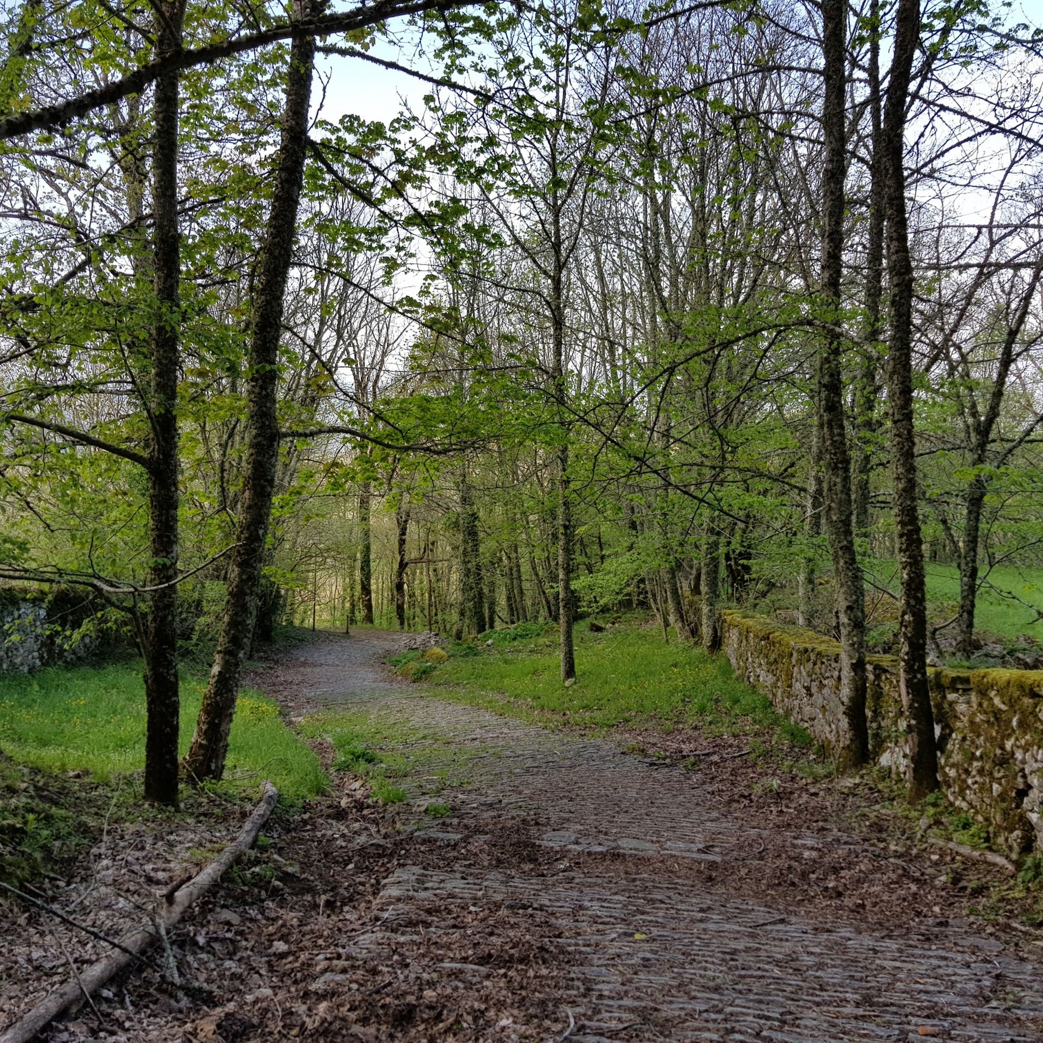
Hiking around Foreste Casentinesi, Monte Falterona, Campigna National Park
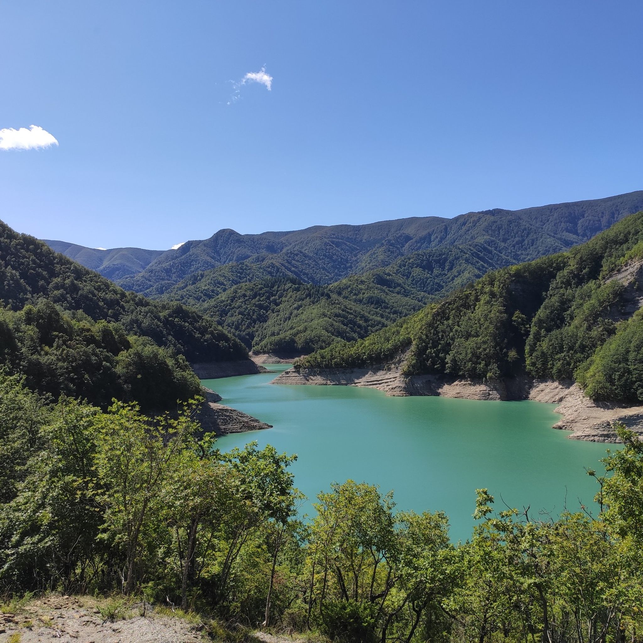
Hiking around Bagno Di Romagna
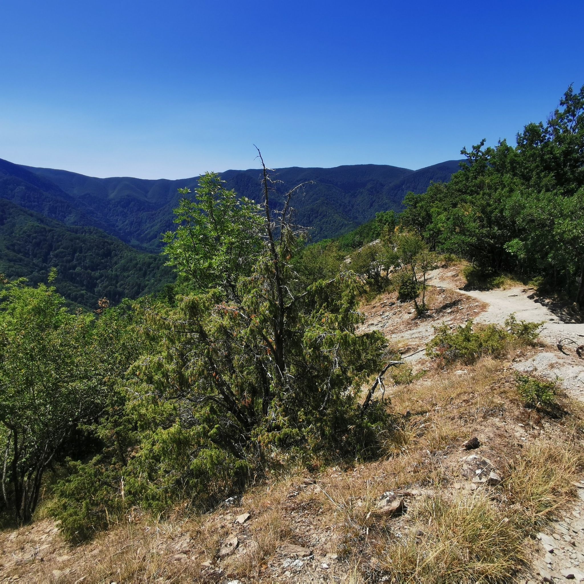
Hiking around Santa Sofia
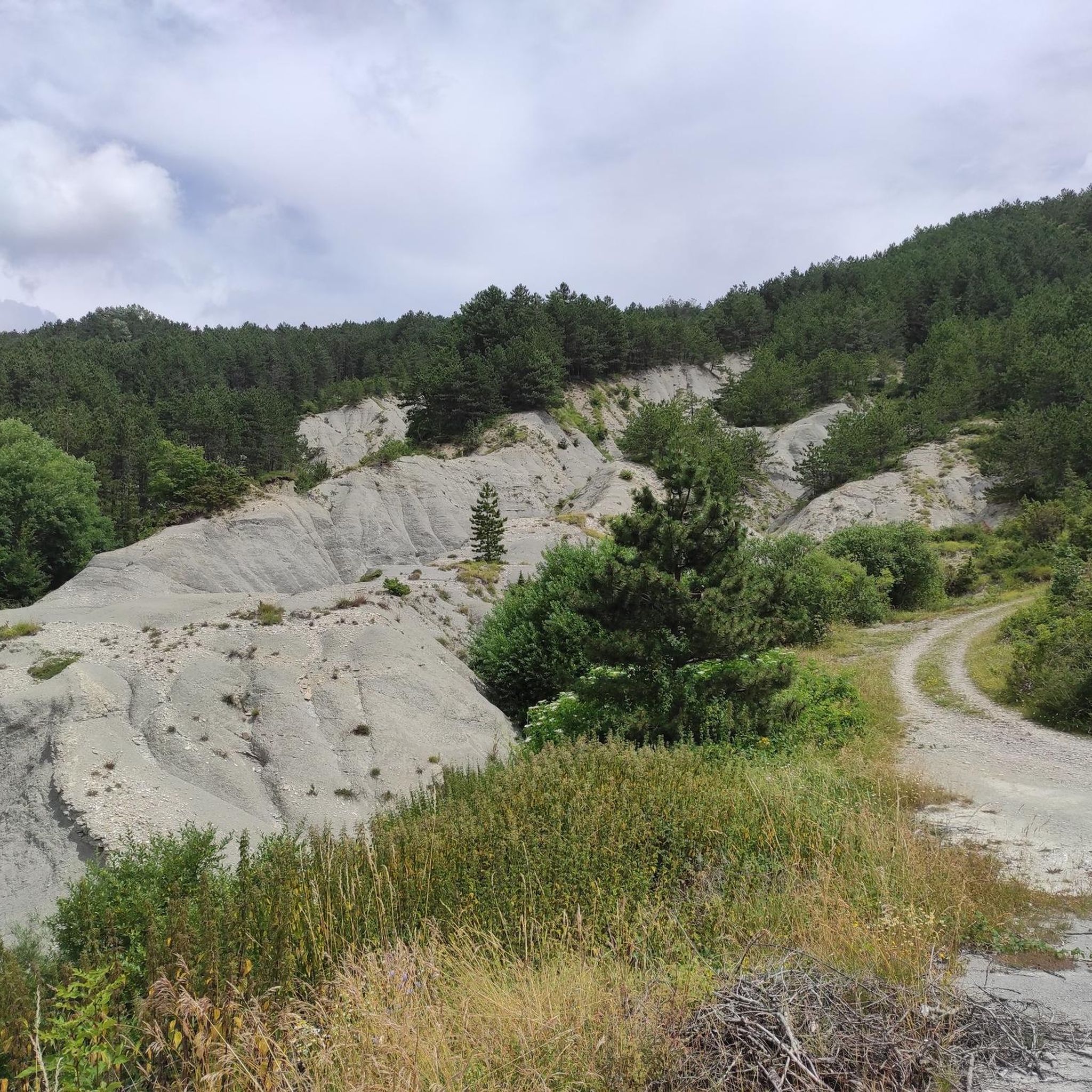
Hiking around Verghereto
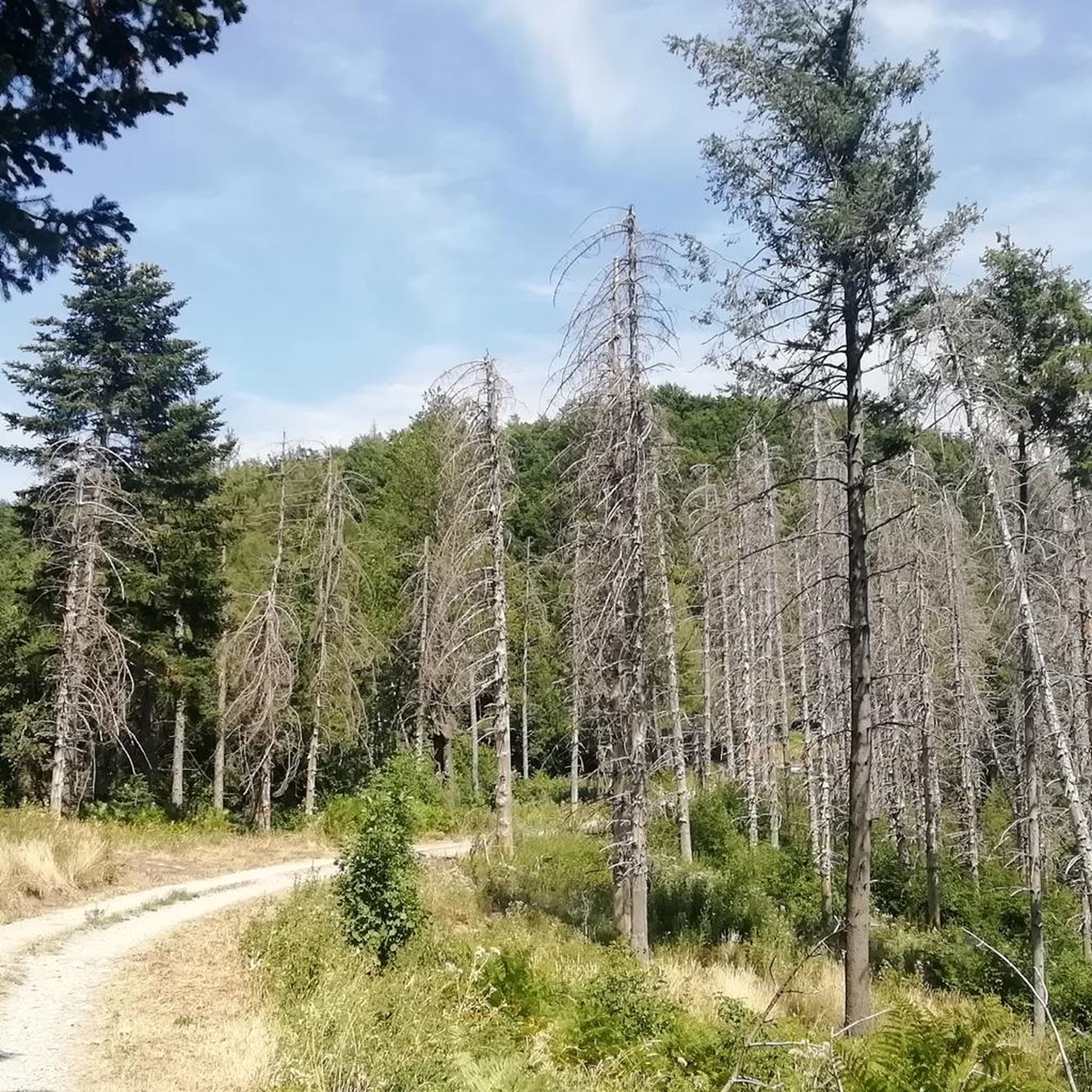
Hiking around Portico E San Benedetto
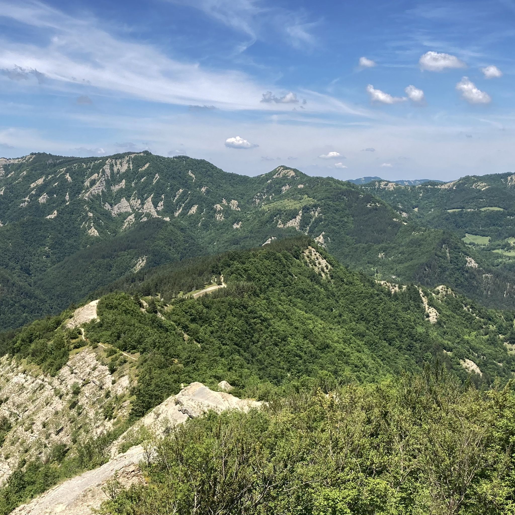
Hiking around Premilcuore
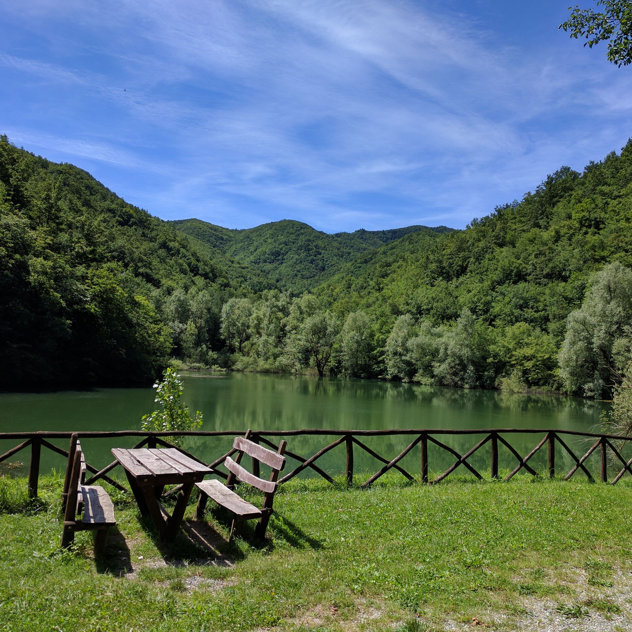
Hiking around Tredozio
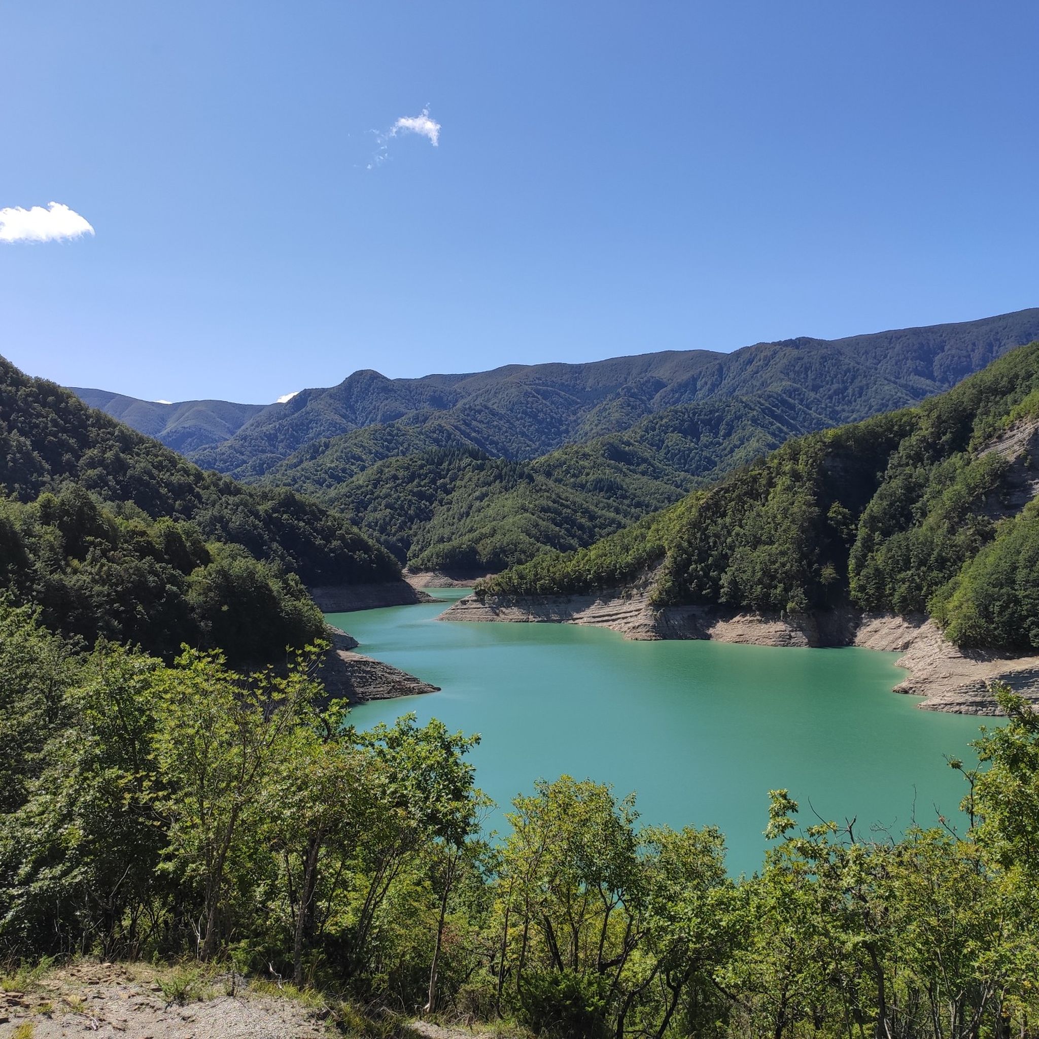
Hiking around Lake Ridracoli
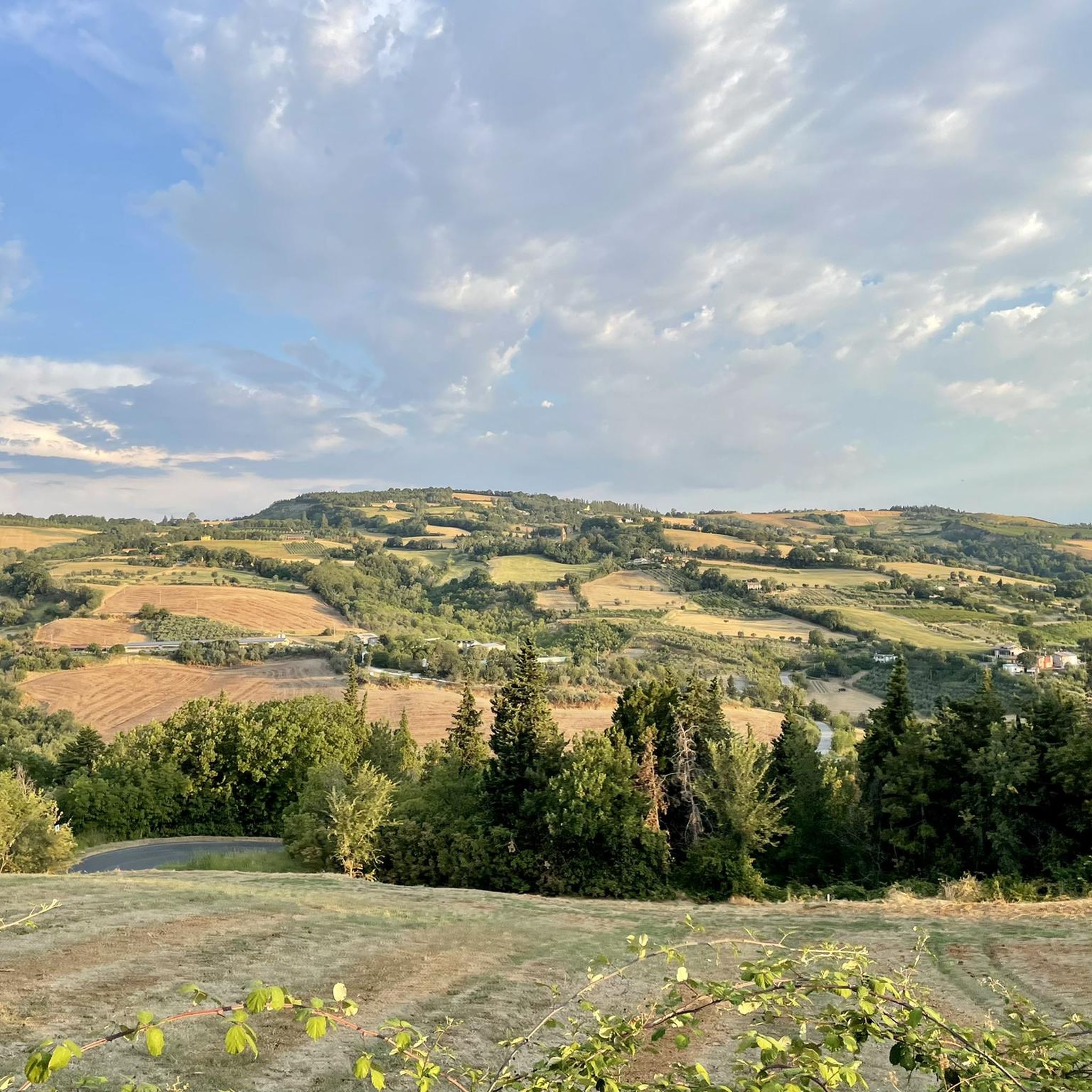
Hiking around Sogliano Al Rubicone
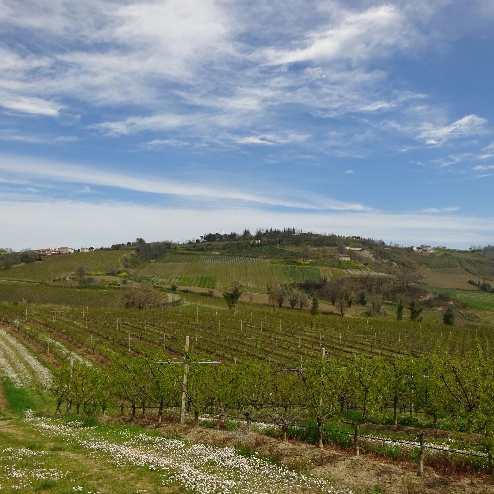
Hiking around Borghi
Streams, gorges, waterfalls, caves and cool pools to dive into and large, flat, smooth rocks where you can sunbathe while being lulled by the sound of the flowing water, amplified by the natural acoustics, making it sound like a scream.
0
0
A peak a few meters lower than nearby Monte Falco, which is the highest point in the entire Casentino area. It's best known for its source, the Arno River, about 300 square meters below, on its southern slope. It offers a beautiful view of the surrounding valleys and mountains.
7
0
Now at the beginning of October the “waterfall” had only a small trickle, you could no longer speak of a waterfall 🤨
0
0
A beautiful place… we didn't manage to hike there (we didn't have enough time). But we'd love to go again.
0
0
A quiet place with a beautiful view, and the hut keepers are very welcoming! They let us picnic on the tables.
0
0
The waterfall was formed by millennia of erosion: The Alferello River carved deep into the rock of the Tuscan-Emilian Apennines, creating natural steps and pools. These geological processes, combined with the interplay of water, frost, and vegetation, shaped the striking rock formations and the landscape we see today. An impressive testament to the power of nature.
33
1
Cascata dell'Alferello – The Hidden Gem of the Apennines 💧 Nestled in the wild and romantic nature of Emilia-Romagna, the Cascata dell'Alferello (also called Cascata delle Trote) plunges over several rocky steps into crystal-clear pools – a magical place where tranquility, nature, and adventure converge. With a drop of approximately 32 meters, it is one of the most beautiful waterfalls in central Italy and is a popular destination for hikers, nature lovers, and photographers, especially in summer.
40
0
Idyllic, almost magical place.
0
0
Forlì-Cesena offers a vast network of hiking opportunities, with over 1,700 trails recorded on komoot. These routes cater to all skill levels, from leisurely walks to challenging mountain expeditions across diverse landscapes.
Yes, Forlì-Cesena has over 450 easy hiking trails perfect for beginners or families. These often traverse the hilly areas around Forlì and Cesena, offering gentle slopes and scenic views of vineyards and cultivated fields. An example of an easy route is the Source of the Rubicone and Passo dei Meloni – loop tour, which is just under 6 km.
Absolutely. The region is home to several beautiful waterfalls. The most famous is the Acquacheta Waterfall, immortalized by Dante Alighieri, which can be reached via picturesque paths like the Anello dell’Acquacheta. Another notable waterfall is the Cascata dell'Alferello, accessible through routes such as the Cascata dell'Alferello Trail from Alfero.
The region is rich in natural attractions. The Parco Nazionale delle Foreste Casentinesi, Monte Falterona e Campigna is a major highlight, featuring ancient beech forests and diverse wildlife. You can also explore the Fangacci Hut or the Nasseto Refuge. The Grotte di Onferno natural reserve offers unique underground experiences with its karstic complex and bat colonies. The Ridracoli Dam is another prominent attraction, surrounded by scenic trails.
Yes, many trails in Forlì-Cesena are designed as circular routes, allowing you to start and end at the same point. Examples include the Ridracoli Loop Trail, the Cammino di Assisi: Monte Tiravento and Monte Arsiccio Loop, and the Monte Falco and Monte Falterona — Ring Tour.
The best time for hiking in Forlì-Cesena generally spans from spring to autumn. Spring offers lush greenery and blooming wildflowers, while autumn provides vibrant foliage, especially in the Apennine forests. Summer is also suitable, particularly for higher elevations, though some lower-lying areas might be warm. Winter hiking is possible, especially on lower trails, but requires appropriate gear and awareness of snow conditions in mountainous areas.
The hiking trails in Forlì-Cesena are highly regarded by the komoot community, with an average rating of 4.5 stars from over 6,000 reviews. Hikers frequently praise the region's diverse landscapes, from dense forests and rolling hills to mountainous terrain, and appreciate the well-maintained trail systems that cater to various ability levels.
Yes, Forlì-Cesena offers over 300 difficult hiking routes for experienced trekkers. These often involve significant elevation changes and longer distances, particularly in the Apennino Tosco-Romagnolo and within the Parco Nazionale delle Foreste Casentinesi. An example is the Tour of Monte Penna from Passo Fangacci to Foresta della Lama, which covers over 15 km with substantial ascent.
Yes, several significant long-distance routes traverse the province. These include segments of the historic Via degli Dei, the Via Romea Germanica, the Way of Saint Vicinius, and the Assisi Way. These paths offer multi-day journeys through varied landscapes and historical sites.
For panoramic views, head to the mountainous areas of the Apennino Tosco-Romagnolo. Monte Falco, the highest peak in the Casentino Forests National Park, offers spectacular vistas. The hilly areas around Bertinoro also provide sweeping views of the Romagna countryside. The Monte Falco and Monte Falterona — Ring Tour is a great option for high-altitude scenery.
Many trails in Forlì-Cesena are suitable for hiking with dogs, especially those in the natural parks and forests. It's always recommended to keep dogs on a leash, especially in protected areas or where wildlife is present, and to check specific park regulations before your visit. The diverse terrain offers plenty of space for both you and your canine companion to enjoy.
Yes, you can explore the source of the Rubicone river on an easy loop tour. The Source of the Rubicone and Passo dei Meloni – loop tour is a great option for this, offering a pleasant walk through the landscape where this historic river begins.


Check out more Hikes throughout Forlì-Cesena below and find the perfect route in your destination.
Browse the best Hikes in other regions.




