The best road cycling routes around Flerden
4.6
(109)
3,754
riders
30
rides
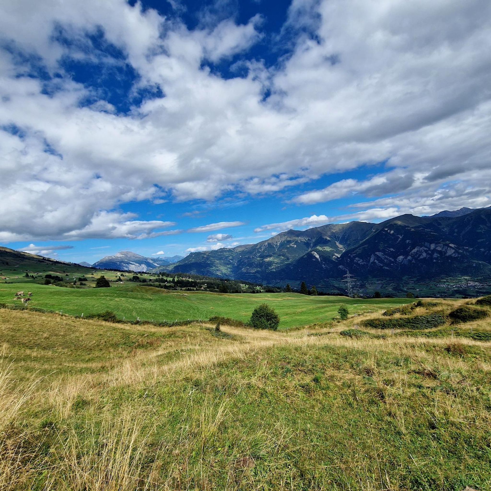
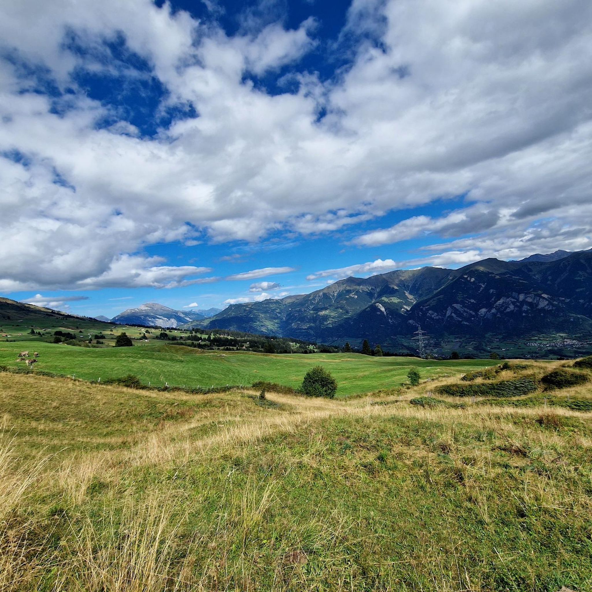
Road cycling routes around Flerden, situated at 1,244 meters above sea level in Graubünden, offer diverse terrain for cyclists. The region is characterized by dramatic alpine landscapes, challenging mountain passes, and deep gorges. Cyclists can navigate routes through wide-open valleys and along the sources of the Rhine river, providing varied elevation and scenic vistas.
Best road cycling routes around Flerden
- The most popular road cycling route is Roadbike loop from Thusis, a 31.2 miles (50.2 km) trail that takes…
Last updated: September 27, 2026
4.6
(18)
535
riders
50.2km
02:18
510m
510m
Moderate road ride. Good fitness required. Some segments of this route may be unpaved and difficult to ride.
4.9
(10)
277
riders
78.7km
04:24
1,720m
1,720m
Hard road ride. Very good fitness required. Some segments of this route may be unpaved and difficult to ride.

5.0
(2)
154
riders
102km
05:19
1,840m
1,840m
Hard road ride. Very good fitness required. Some segments of this route may be unpaved and difficult to ride.
4.5
(4)
56
riders
93.2km
05:11
2,020m
2,020m
Hard road ride. Very good fitness required. Mostly well-paved surfaces and easy to ride.
5.0
(2)
97
riders
48.8km
02:33
760m
760m
Moderate road ride. Good fitness required. Some segments of this route may be unpaved and difficult to ride.
Get access to more routes and recommendations from other explorers.
Already have an account?
Our route recommendations are based on thousands of hikes, rides, and runs completed by other people on komoot.
Start today with a free account
Your next adventure awaits.

Tips from the Community

Very interesting costs something but is worth the price
0
0

Beautiful destination for a bike tour with several places to stop in the highest permanently inhabited village in Europe. The well-developed, beautiful road leading up here is not heavily trafficked, as there is no through traffic. You also have to take the same road back down.
0
0

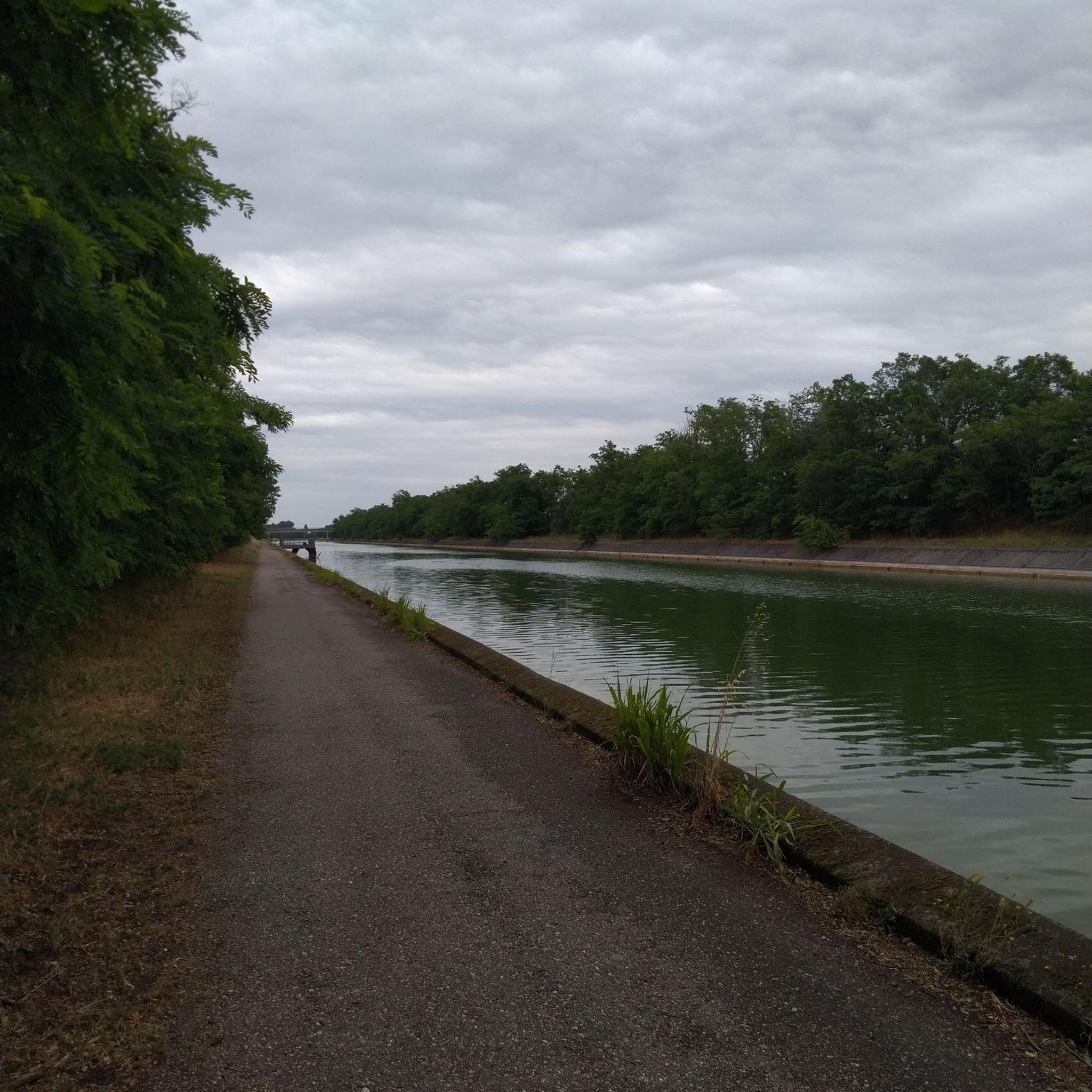
The RhB Reichenau train station, with parking available, is very well suited as a starting point for bike or hiking tours through the wild Vorderrhein Gorge to Sagogn or Ilanz. Along the gorge, there are small RhB train stations, at Trin, Versam-Safien, or Valendas-Sagogn, for intermediate stops or return journeys back to Reichenau.
0
0

Nature reserve with various hiking trails.
0
0

easy to drive and scenically spectacular
0
0

Saints Anne and Joachim are considered the parents of the Mother of God, whose birth this church celebrates. They are thus the grandparents of Jesus, but are not mentioned by name in the biblical writings of the New Testament. An exact date, in the historical or scientific sense, is not known for the various stages in the life of the Mother of God. However, the Feast of the Nativity of the Mother of God—one of Mary's numerous honorary titles—is celebrated on September 8th in many Christian denominations (Catholic, Anglican, Orthodox, and Armenian).
0
1

A place of power in a special class
0
0

Disentis is the largest town in Surselva and NOT Ilanz.
1
0
Frequently Asked Questions
What kind of terrain can I expect on road cycling routes around Flerden?
Road cycling around Flerden, situated at 1,244 meters above sea level in Graubünden, offers a diverse and challenging landscape. You'll encounter dramatic alpine scenery, demanding mountain passes like the Albula and Bernhardin passes, and deep gorges such as the Schijnschlucht and the Via Mala. Routes also traverse wide-open valleys like the Engadine and follow the sources of the Rhine river, providing varied elevation and stunning vistas.
How many road cycling routes are available in the Flerden area?
There are over 30 road cycling routes around Flerden. These routes cater to various skill levels, with 3 easy, 14 moderate, and 14 difficult options, ensuring there's a suitable challenge for every cyclist.
Are there any particularly scenic or challenging routes that feature the Via Mala Gorge?
Yes, the dramatic Via Mala Gorge is a prominent feature in several routes. For a challenging experience, consider the Via Mala Gorge near Thusis – Juf Village loop from Cazis, a difficult 84.5 km path with significant elevation gain. A moderate option that also explores the gorge is the Via Mala Gorge near Thusis – Via Mala Gorge loop from Thusis, covering 32.4 km.
What do other road cyclists say about the routes in Flerden?
The road cycling routes in Flerden are highly regarded by the komoot community, boasting an average score of 4.8 stars from over 80 reviews. More than 3,000 road cyclists have explored Flerden's varied terrain, often praising the challenging mountain passes, dramatic gorges, and diverse valleys.
Are there any circular road cycling routes starting near Flerden?
Yes, several routes offer circular loops. A popular moderate option is the Roadbike loop from Thusis, which is 50.2 km long and takes approximately 2 hours 17 minutes. For a more challenging circular route, the Versam Curves – Valendas Wooden Fountain loop from Thusis spans 102.2 km and includes challenging curves.
What are some notable landmarks or viewpoints I can see while road cycling in the Flerden region?
The Flerden region, part of Graubünden, is rich in natural landmarks. You can cycle past the dramatic Via Mala Gorge, explore routes near the sources of the Rhine river, and ascend iconic mountain passes. Specific viewpoints and passes include the Glas Pass, the Beverin Pass, and the Farcletta Observation Point, all offering breathtaking alpine vistas.
Are there any routes suitable for advanced road cyclists looking for a significant challenge?
Absolutely. The Flerden area is known for its demanding routes. The Thusis – Versam Curves loop from Thusis is a difficult 94.7 km route with over 2,000 meters of elevation gain. Another challenging option is the Via Mala Gorge near Thusis – Juf Village loop from Cazis, which is 84.5 km and features significant climbs.
What is the best time of year for road cycling in Flerden?
The best time for road cycling in Flerden and the wider Graubünden region is typically from late spring to early autumn (May to October). During these months, the mountain passes are generally clear of snow, and the weather is more favorable for cycling, allowing you to fully enjoy the alpine landscapes and challenging routes.
Are there any lakes or water features accessible from the road cycling routes?
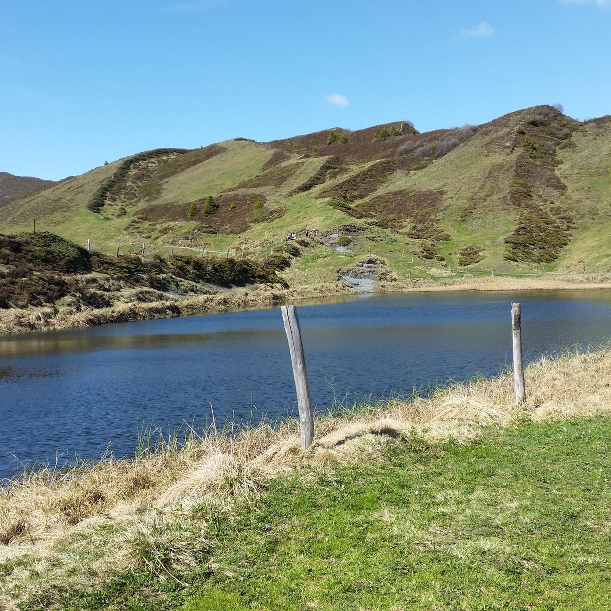
While Flerden itself is not directly on a large lake, the surrounding region of Graubünden features several beautiful lakes that can be incorporated into or viewed from cycling routes. Notable lakes include Canovasee, Lake Bischol, and Lai da Vons. These offer scenic spots for a break or a picturesque backdrop to your ride.
How can I reach the road cycling routes around Flerden using public transport?
Flerden is located in Graubünden, a region with good public transport connections. While specific route starting points may vary, you can typically reach nearby towns like Thusis or Cazis, which serve as common starting points for many routes, via regional buses or trains. From these hubs, you can often begin your cycling tour directly or connect to local services that bring you closer to the trailheads.
Are there any easy or beginner-friendly road cycling routes near Flerden?
Yes, while the region is known for its challenging terrain, there are options for less experienced cyclists. The guide lists 3 easy routes. These routes typically feature less elevation gain and shorter distances, providing a gentler introduction to road cycling in the Flerden area.
Most popular routes around Flerden
Most popular attractions around Flerden

Get inspired with the komoot mobile app


Explore more
Browse the best Road cycling routes in other regions.
