The best road cycling routes around Salmon Creek
4.6
(38)
598
riders
56
rides
Road cycling routes around Salmon Creek, primarily in the Vancouver, Washington area, offer a mix of paved trails and scenic roads through diverse natural environments. The landscape features greenways, restored wetland habitats, and forested sections along the Salmon Creek waterway. Cyclists can explore routes that wind through urban parks and natural areas, providing varied terrain for different skill levels.
Best road cycling routes around Salmon Creek
- The most popular road cycling route is South Royle Road loop from Mount Vista…
Last updated: October 5, 2026
5.0
(2)
10
riders
68.2km
02:57
530m
530m
Moderate road ride. Good fitness required. Mostly well-paved surfaces and easy to ride.
11
riders
28.0km
01:09
120m
120m
Easy road ride. Great for any fitness level. Mostly well-paved surfaces and easy to ride.

6
riders
63.9km
02:51
600m
600m
Moderate road ride. Good fitness required. Mostly well-paved surfaces and easy to ride.
12
riders
43.4km
02:03
230m
230m
Moderate road ride. Good fitness required. Mostly well-paved surfaces and easy to ride.
5
riders
20.7km
01:01
190m
190m
Easy road ride. Great for any fitness level. Mostly well-paved surfaces and easy to ride.
Get access to more routes and recommendations from other explorers.
Already have an account?
Our route recommendations are based on thousands of hikes, rides, and runs completed by other people on komoot.
Start today with a free account
Your next adventure awaits.
Popular around Salmon Creek
Tips from the Community

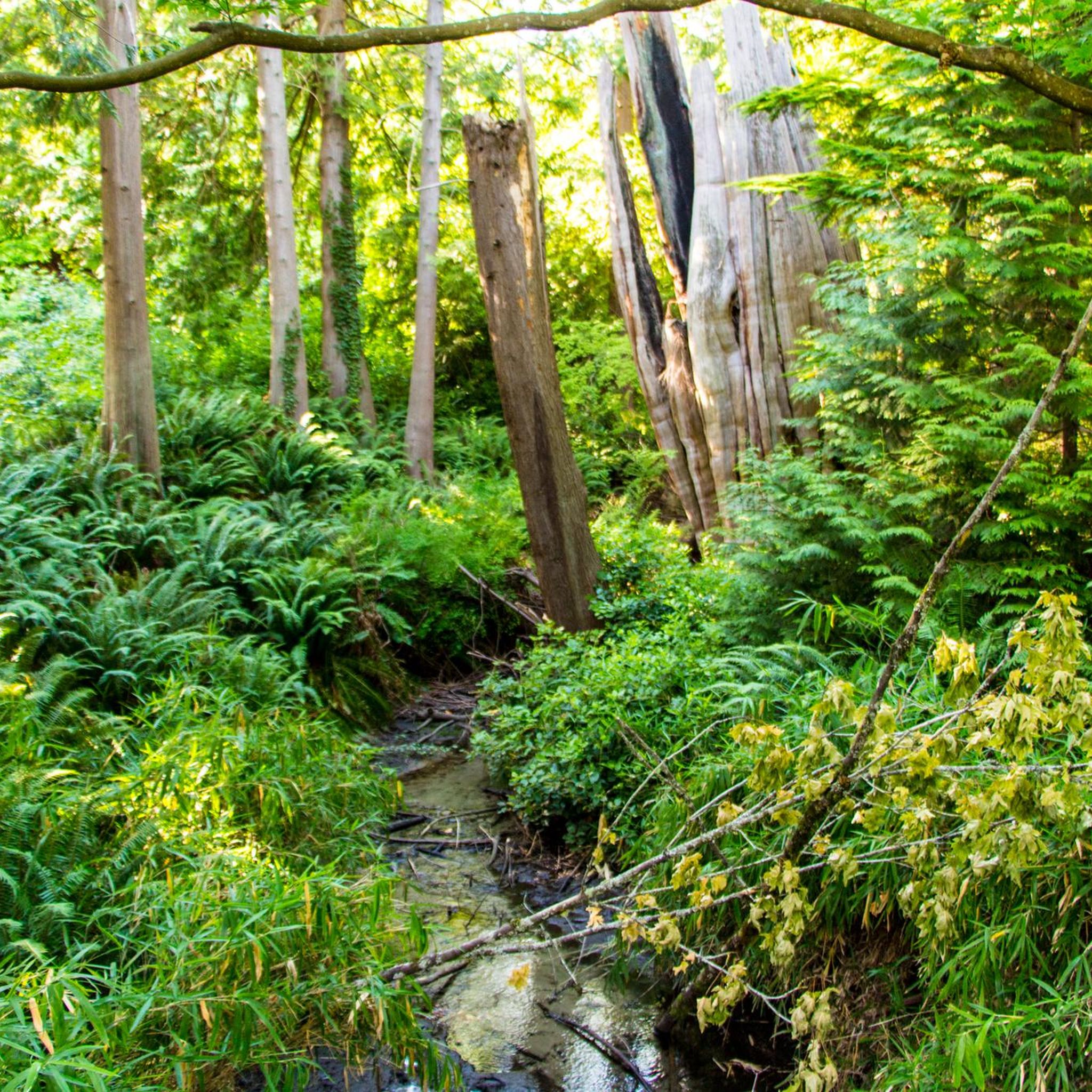
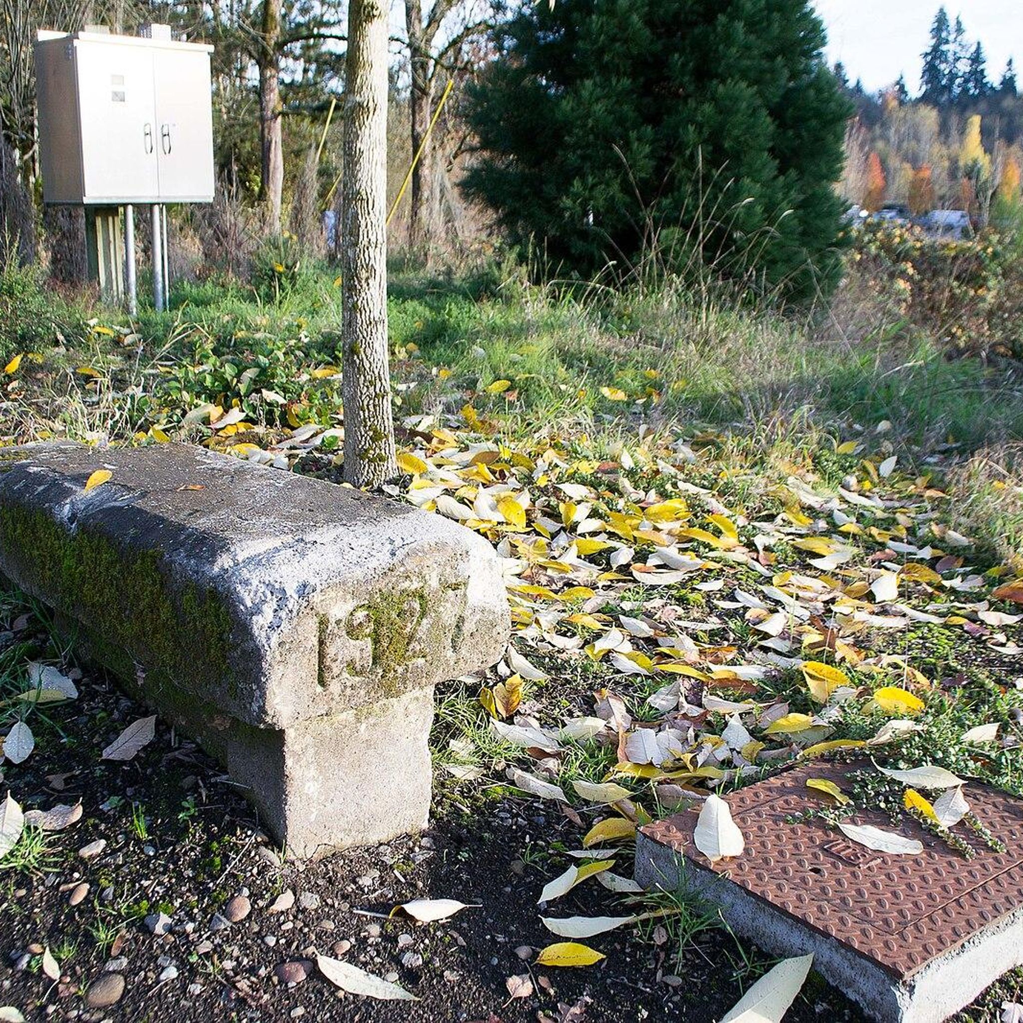
Stay off the waterfront trails when biking. Bikes are allowed but, there are too many people walking.
0
0

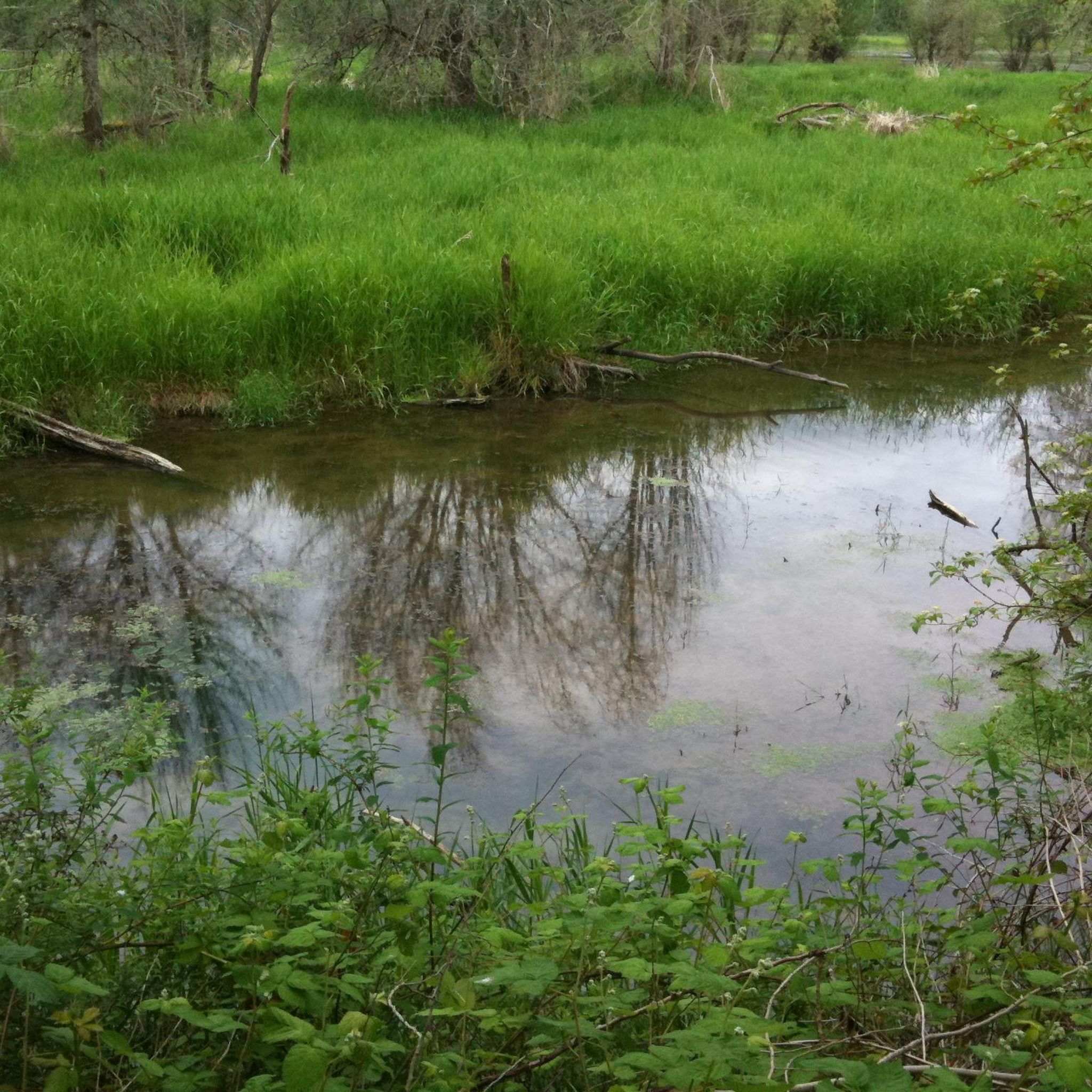
Here you can view Burnt Bridge Creek as it flows west to Vancouver Lake, which drains into Lake River and eventually feeds into the Columbia River.
0
0

Vancouver Lake is a large, shallow lake located near Vancouver, Washington. The lake is popular for kayaking, canoeing, paddleboarding, and windsurfing due to its calm waters. The Vancouver Lake Regional Park is located on its western shore and provides amenities such as picnic areas, open fields, restrooms, and a sandy beach for relaxing. The park is a great spot for birdwatching, as the area is home to diverse waterfowl and other wildlife. While swimming is permitted, water quality can vary, and advisories are posted as needed.
0
0
Frenchman Bar is a narrow strip of land created by Vancouver Lake and the Columbia River. This scenic bit of land has several parks and great views over both bodies of water.
0
0
Vancouver Lake is a large, shallow lake located near Vancouver, Washington. The lake is popular for kayaking, canoeing, paddleboarding, and windsurfing due to its calm waters. The Vancouver Lake Regional Park is located on its western shore and provides amenities such as picnic areas, open fields, restrooms, and a sandy beach for relaxing. The park is a great spot for birdwatching, as the area is home to diverse waterfowl and other wildlife. While swimming is permitted, water quality can vary, and advisories are posted as needed.
1
0

The Vancouver Land Bridge is a 40-foot-wide pedestrian bridge featuring two overlooks, interpretive panels, and native plants. The bridge offers a scenic and educational experience for visitors. It is wheelchair accessible, ensuring that everyone can enjoy this area.
0
0
Burnt Bridge Creek is a 13-mile stream starting near Orchards and ending in Vancouver Lake. For the first 8 miles, the creek travels through natural and artificial waterways before joining a small canyon. The creek's lower section is home to coho salmon, rainbow trout, and steelhead. The 8-mile Burnt Bridge Creek Greenway Trail, a popular path for walking, biking, and jogging, runs along the creek as well.
0
0
Salmon Creek Regional Park and Pond lie at the east end of the paved Salmon Creek Greenway. Though located in an urban setting, the park has 35 acres of developed parkland and 368 acres of undeveloped green space, providing habitat for rabbits, deer, turtles, and beavers.
0
0
Frequently Asked Questions
How many road cycling routes are available in Salmon Creek?
There are over 50 road cycling routes around Salmon Creek, offering a variety of experiences for different skill levels. You'll find options ranging from easy, leisurely rides to more challenging excursions.
What are the difficulty levels of road cycling routes in Salmon Creek?
The routes in Salmon Creek cater to various abilities. You'll find a good selection of easy routes, with 34 options perfect for a relaxed ride. There are also 24 moderate routes for those seeking a bit more challenge, and 1 difficult route for experienced cyclists.
When is the best time of year to go road cycling in Salmon Creek?
Salmon Creek offers pleasant road cycling conditions for much of the year. Spring brings wildflowers and lush greenery, while summer provides warm, sunny days. Autumn showcases beautiful fall foliage. The paved trails, like the Salmon Creek Greenway Trail, are generally accessible year-round, though checking local weather is always recommended.
What natural features or landmarks can I see while road cycling in Salmon Creek?
While cycling in Salmon Creek, especially along the Greenway Trail, you can experience diverse ecosystems, including restored wetland habitats and native salmon runs. You might spot migratory waterfowl, deer, and other wildlife. Nearby attractions include Vancouver Lake and Kelley Point Park, which offer scenic views and natural beauty.
Are there any specific points of interest along the Salmon Creek Greenway Trail?
Yes, the Salmon Creek Greenway Trail in Vancouver, Washington, winds through wildlife interpretive areas and offers views of native salmon runs. It culminates at Klineline Pond, a popular spot for swimming and picnicking. The trail also provides a mix of tree-lined sections and open grassland meadows.
What do other road cyclists appreciate about the routes in Salmon Creek?
The road cycling routes in Salmon Creek are highly rated by the komoot community, with an average score of 4.5 stars from over 25 reviews. Cyclists often praise the well-maintained paved trails, scenic natural environments, and the variety of routes that cater to different skill levels.
Are there family-friendly road cycling options in Salmon Creek?
Absolutely. The Salmon Creek Greenway Trail in Vancouver, Washington, is a paved, shared-use trail considered easy and suitable for all ages, making it an excellent choice for family-friendly road cycling. Its flat sections and lush foliage also make it enjoyable for a casual family ride.
Can I bring my dog on the road cycling trails in Salmon Creek?
The Salmon Creek Greenway Trail in Vancouver, Washington, is generally dog-friendly, allowing leashed dogs. It's always a good idea to check specific park regulations for any updates or restrictions before you go. For more information on the area, you can visit Visit Vancouver WA.
Where can I find parking for road cycling routes in Salmon Creek?
For routes like the Salmon Creek Greenway Trail, parking is available at Salmon Creek Regional Park/Klineline Pond. This provides convenient access to the trail network. Many other routes starting from areas like Mount Vista or Felida also offer accessible parking options.
How can I reach the Salmon Creek Greenway Trail using public transport?
The Salmon Creek Greenway Trail in Vancouver, Washington, is accessible via C-TRAN bus routes. Specific routes may vary, so it's best to check the current C-TRAN schedule and route maps to plan your journey to the trailheads or nearby access points.
Are there any loop road cycling trails in Salmon Creek?
Yes, Salmon Creek offers several excellent loop routes for road cyclists. For example, the Salmon Creek Greenway – Salmon Creek Greenway loop from Lakeshore is an easy 12.8-mile (20.7 km) option. Another popular choice is the Central Park loop from Mount Vista, an easy 29.2-mile (47.1 km) ride.
Are there challenging road cycling routes near Salmon Creek?
While many routes are easy to moderate, there are options for more challenging rides. The South Royle Road loop from Mount Vista is a moderate 38.1-mile (61.3 km) route with over 1,600 feet (500 meters) of elevation gain, offering a good workout for road cyclists.
Are there cafes or amenities along the road cycling routes in Salmon Creek?
The Salmon Creek area, particularly in Vancouver, Washington, is well-developed. While the Greenway Trail itself is more natural, you'll find cafes, pubs, and other amenities in the nearby urban areas and neighborhoods like Felida and Lakeshore, which serve as starting points for many routes. Oakridge, Oregon, also offers amenities in its downtown area before heading out on routes like Salmon Creek Road.
Most popular routes around Salmon Creek
Most popular attractions around Salmon Creek

Get inspired with the komoot mobile app


Explore more
Browse the best Road cycling routes in other regions.
