The best road cycling routes around Bremerton
4.1
(31)
508
riders
45
rides
Road cycling routes around Bremerton offer diverse terrain across the Kitsap Peninsula, providing views of the Puget Sound and the Olympic Mountains. The region features a mix of waterfront paths, forested areas, and routes with varying elevation gains. Cyclists can explore routes that traverse estuaries and pass through state parks, offering a blend of natural scenery and developed pathways.
Best road cycling routes in Bremerton
- The most popular road cycling route is A trip through Tahuya, a 55.4 miles…
Last updated: October 1, 2026
2
riders
89.2km
04:34
970m
970m
This difficult 55.4-mile road cycling route through Tahuya State Forest offers a challenging gravel ride with scenic views.
2.5
(2)
23
riders
29.9km
01:22
340m
340m
Moderate road ride. Good fitness required. Mostly well-paved surfaces and easy to ride.

2.5
(2)
9
riders
50.1km
02:13
500m
500m
Moderate road ride. Good fitness required. Mostly well-paved surfaces and easy to ride.
5.0
(3)
9
riders
35.5km
01:45
480m
480m
Moderate road ride. Good fitness required. Mostly well-paved surfaces and easy to ride.
8
riders
161km
08:06
1,670m
1,670m
Hard road ride. Very good fitness required. Some segments of this route may be unpaved and difficult to ride.
Get access to more routes and recommendations from other explorers.
Already have an account?
Our route recommendations are based on thousands of hikes, rides, and runs completed by other people on komoot.
Start today with a free account
Your next adventure awaits.
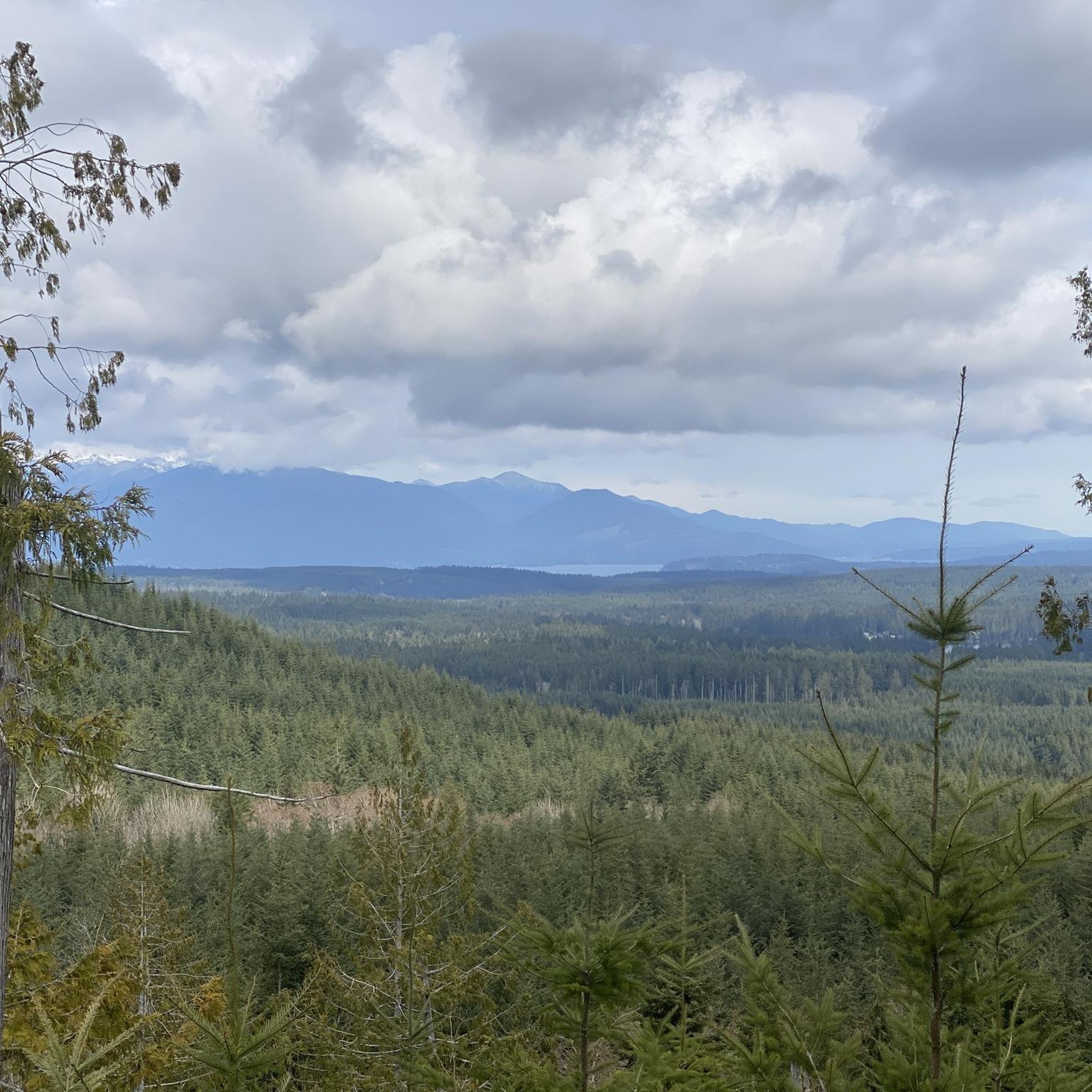

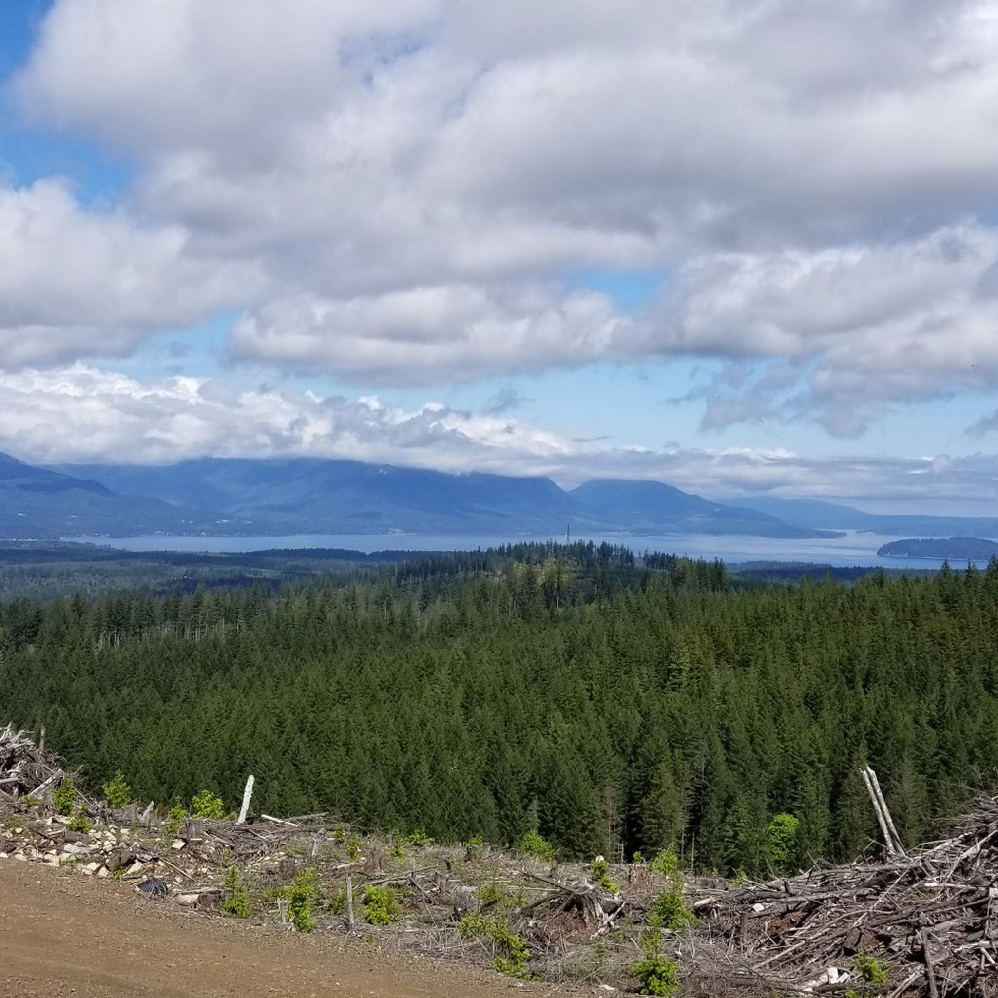
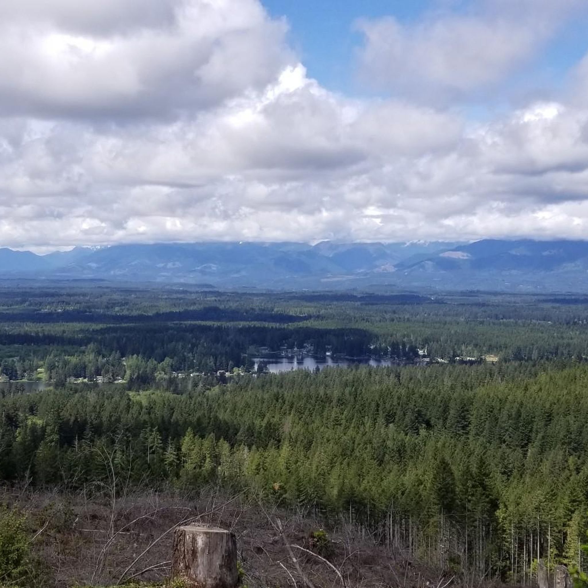

Tips from the Community

Burke Bay is a quiet inlet on the Kitsap Peninsula, nestled between Brownsville and Illahee and just east of Silverdale. From this spot on Illahee Road, just off the Browsville Highway, you get fantastic views of the water on all sides.
0
0
Big Beef Harbor and Little Beef Harbor are two small, sheltered inlets tucked along the western shore of the Kitsap Peninsula, not far from Lawters Beach and the Seabeck area. These harbors open into Hood Canal and are mostly surrounded by private homes, docks, and dense evergreen forest. You will ride past both of these harbors on Seabeck Highway where you'll get nice views over the canal as well as the creeks and marshes that flow into each of the inlets.
0
0
From this spot right by Silverdale Waterfront Park, you get great waterfront views.
0
0

This beautiful 3-acre estuary is home to over 1,100 feet (0.34 km) of natural and restored shoreline where Chico Creek flows into Dyes Inlet. Chico Creek is the most productive salmon stream on the Kitsap Peninsula, and with its tributaries, it has become a popular stop on the Kitsap Salmon Tours that take place every year.
0
0


This waterfront park, as the name suggests, offers saltwater access and several picnic benches for a nice breaking point. Restrooms are also available in the park, making it a great spot to stop.
0
0

The lakebed was once an oligotrophic bog, meaning it was nutrient-poor, acidic, and oxygen-rich. This resulted in the creation of peat and the spread of a unique flora community typical of such environments.
0
0
A beautiful place to enjoy the silence, the nature and perhaps catch some oysters?
0
0
Frequently Asked Questions
How many road cycling routes are available around Bremerton?
Bremerton offers a diverse network of 52 road cycling routes. This includes 12 easy routes, 30 moderate routes, and 10 more challenging options, catering to various skill levels.
What kind of scenic views can I expect on Bremerton's road cycling routes?
Road cycling routes around Bremerton offer stunning views of the Puget Sound and, on clear days, the majestic Olympic Mountains. You'll also find routes that traverse picturesque estuaries like the Chico Creek Estuary, pass through lush forested areas, and follow scenic waterfront paths.
Are there road cycling routes suitable for beginners in Bremerton?
Yes, Bremerton has 12 easy road cycling routes perfect for beginners. An example is the Chico Creek Estuary loop from Puget Sound Naval Shipyard, which is 15 miles (24.2 km) long and offers a pleasant ride with minimal elevation gain.
What are some challenging road cycling routes in Bremerton?
For experienced cyclists seeking a challenge, Bremerton offers 10 difficult routes. A notable option is A trip through Tahuya, a demanding 55.4-mile (89.2 km) route with significant elevation gain through Tahuya State Forest.
Are there any loop trails for road cycling in Bremerton?
Yes, many road cycling routes in Bremerton are loops. Popular options include the Chico Creek Estuary – Silverdale Waterfront Park loop from Bremerton, a moderate 18.6-mile (29.9 km) ride, and the Tahuya Lake loop from Rocky Point, which covers 31.1 miles (50.1 km) through forested areas.
What do other cyclists enjoy most about road cycling in Bremerton?
The road cycling routes in Bremerton are highly rated by the komoot community, with an average score of 4.2 stars from over 25 reviews. Cyclists frequently praise the diverse terrain, from waterfront paths to forested areas, and the continuous scenic views of the Puget Sound and Olympic Mountains.
Are there any specific landmarks or attractions to see along the road cycling routes?
Yes, several routes pass by or near interesting landmarks and natural features. You might encounter the Dickerson Falls, enjoy views from the Manette Bridge, or cycle past the Bainbridge Waterfront Park or Manitou Beach Open Space. Illahee State Park, with its old-growth forest and shoreline, is also integrated into some routes.
Can I combine road cycling with ferry travel in Bremerton?
Absolutely! Bremerton's location on the Kitsap Peninsula makes it ideal for combining cycling with ferry travel. You can take your bike on ferries to explore nearby Bainbridge Island or even cross to Seattle, accessing dedicated bike entrances at the terminals to extend your cycling adventures.
Are there any moderate road cycling options available?
Yes, the majority of routes in Bremerton are moderate, with 30 options available. A popular choice is the Burke Bay – View of Burke Bay loop from Illahee State Park, a 22-mile (35.5 km) ride mostly on well-paved surfaces, offering beautiful views.
What is the best time of year for road biking in Bremerton?
While road biking is possible year-round, the spring and summer months generally offer the most pleasant weather for cycling in Bremerton, with clearer skies and milder temperatures, perfect for enjoying the Puget Sound and Olympic Mountain views. Fall can also be beautiful with changing foliage.
Are there any parks or natural areas accessible by road bike in Bremerton?
Many road cycling routes in Bremerton provide access to beautiful parks and natural areas. You can cycle through or near places like Illahee State Park, known for its old-growth forest, Forest Ridge Park with its traditional Pacific Northwest forests, and Evergreen Rotary Park, a waterfront park with scenic views of the Puget Sound.
Most popular attractions around Bremerton

Get inspired with the komoot mobile app


Explore more
Browse the best Road cycling routes in other regions.
