The best running trails around Airway Heights
4.0
(10)
572
runners
37
runs
Jogging around Airway Heights offers diverse landscapes for outdoor enthusiasts. The region is situated in the northeastern Columbia Plateau, characterized by the rugged terrain of the Channeled Scablands. Prominent natural features include the Spokane River and various local parks, providing a mix of environments for running. These areas offer dedicated jogging trails with varying lengths and elevation profiles.
Best jogging routes around Airway Heights
- The most popular jogging route is Bowl and Pitcher Loop Trail, a 2.2 miles (3.5 km) trail that takes 25 minutes to complete. This route offers scenic river views and unique rock formations.
- Another top favourite among local runners is Trail 102 - South Trail Green Loop, an easy 1.4 miles (2.3 km) path. This trail provides varied terrain, city views, and a waterfall ravine.
- Local runners also love the Trail 25 and Centennial Trail Loop, a 5.4 miles (8.7 km) trail leading through diverse landscapes, often completed in about 1 hour 5 minutes.
- Jogging around Airway Heights is defined by the Channeled Scablands, the Spokane River, and dedicated park trails. The network offers options for different ability levels, from easy paved paths to more moderate routes with varied terrain.
- The routes in Airway Heights are highly rated by the komoot community with an average score of 4.2 stars from over 10 reviews. More than 450 runners have used komoot to explore Airway Heights's varied terrain.
Last updated: October 1, 2026
5
runners
3.47km
00:25
40m
40m
Jog the easy 2.2-mile Bowl and Pitcher Loop Trail in Spokane, featuring river views and unique rock formations.
2.26km
00:18
60m
60m
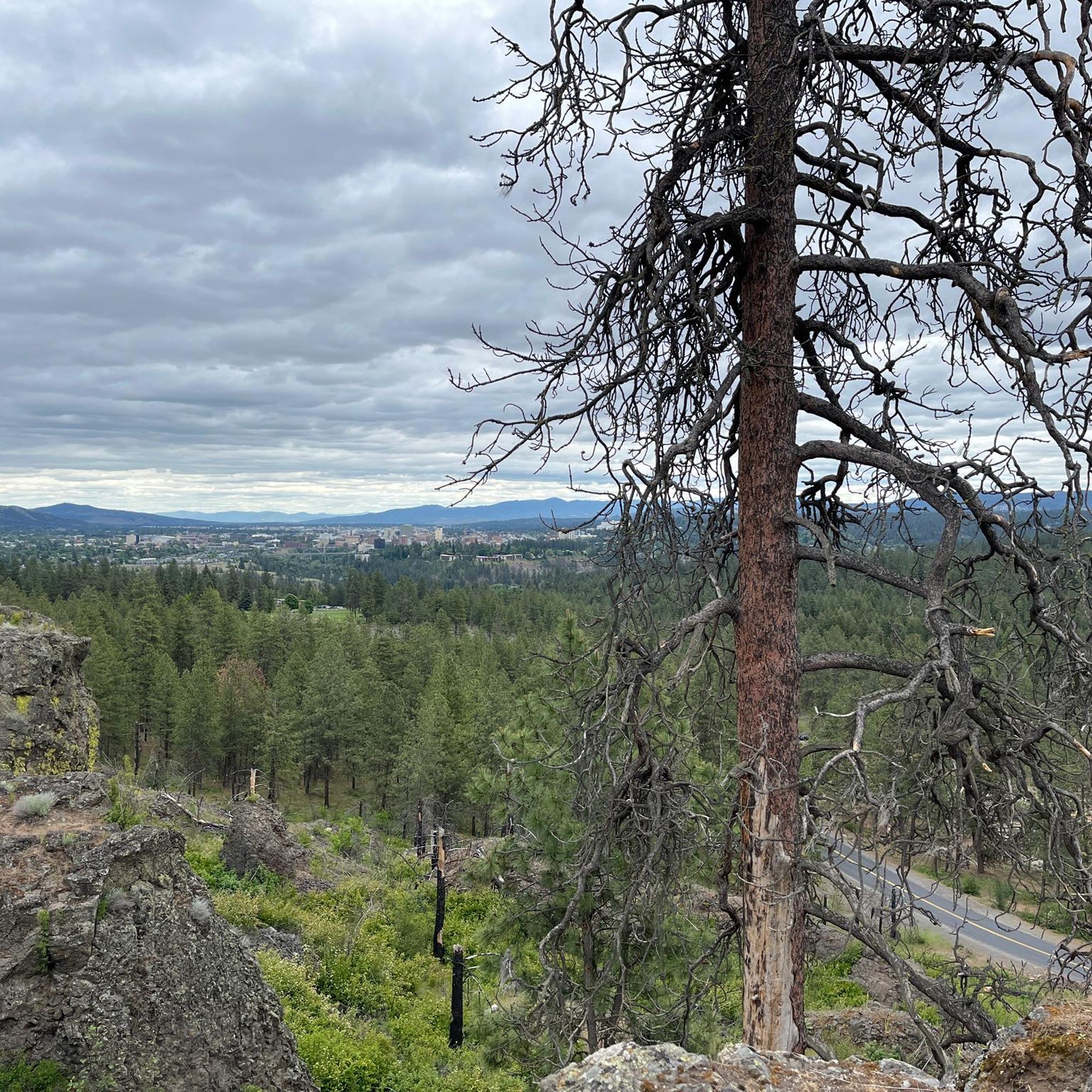
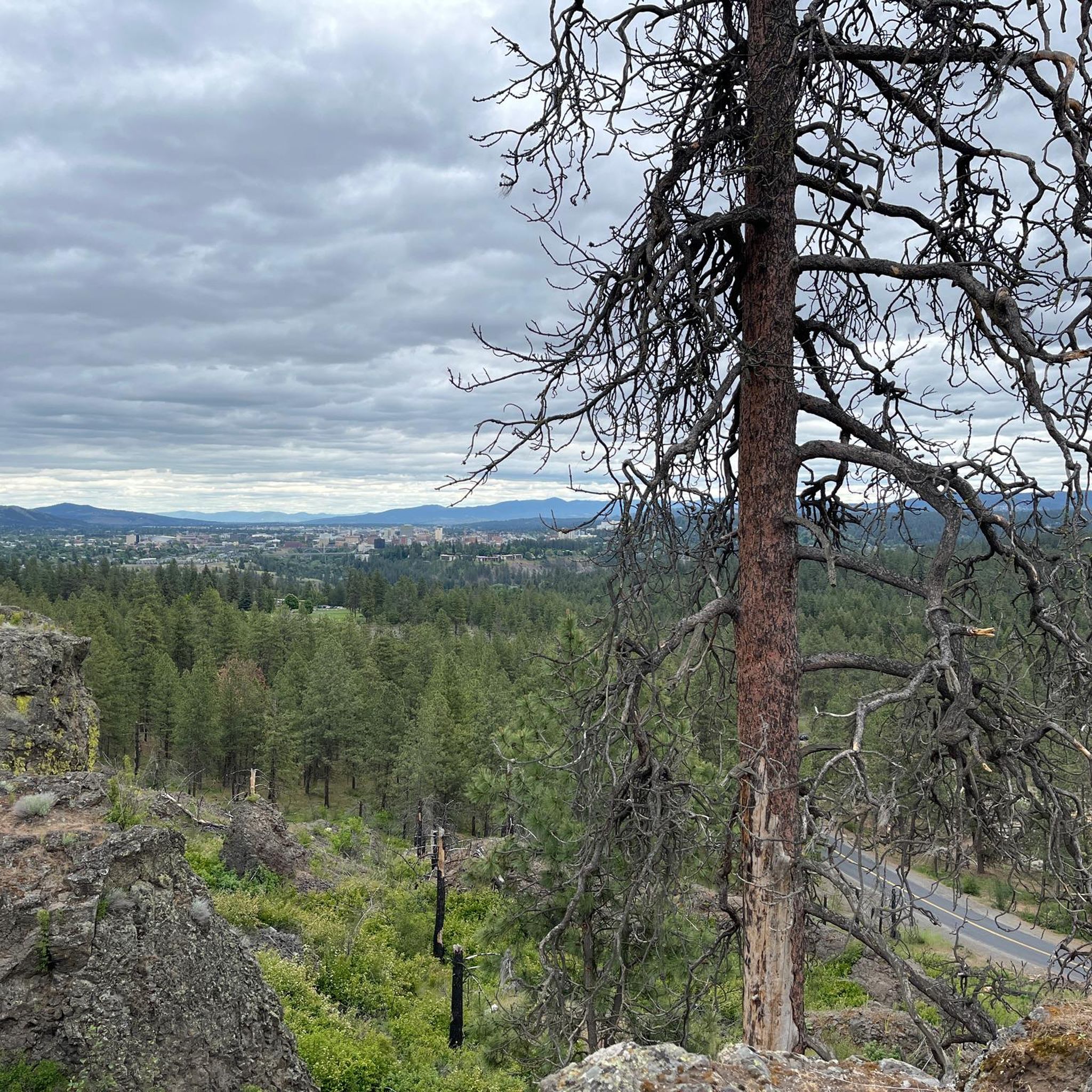
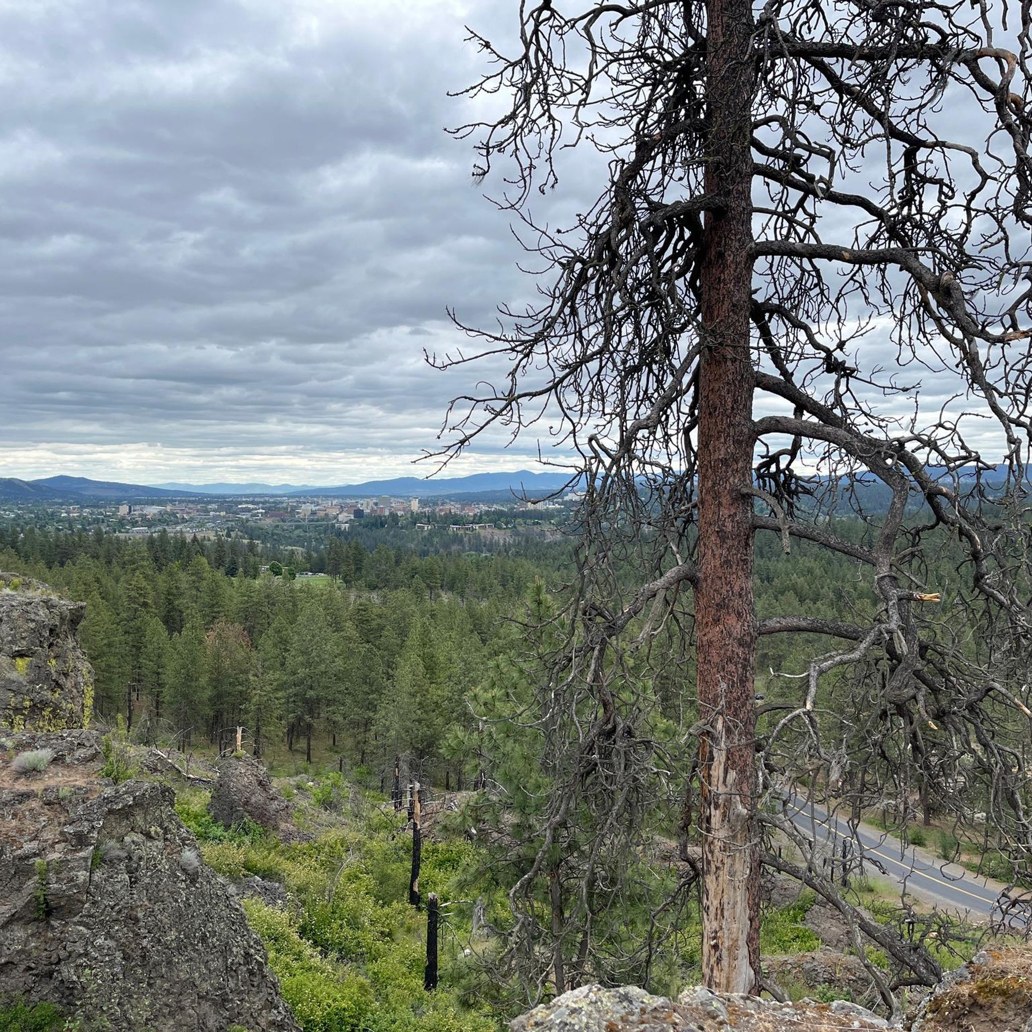
This easy 1.4-mile jogging loop in Palisades Park offers varied terrain, city views, and a waterfall ravine, taking about 17 minutes.

8.73km
01:05
140m
130m
Jog the 5.4-mile Trail 25 and Centennial Trail Loop in Riverside State Park, a moderate route with Spokane River views and varied terrain.
5.0
(4)
24
runners
14.6km
01:41
170m
170m
Moderate run. Good fitness required. Mostly paved surfaces. Suitable for all skill levels.
16
runners
Moderate run. Good fitness required. Mostly paved surfaces. Suitable for all skill levels.
Get access to more routes and recommendations from other explorers.
Already have an account?
Our route recommendations are based on thousands of hikes, rides, and runs completed by other people on komoot.
Start today with a free account
Your next adventure awaits.
Tips from the Community

The Morin Trailhead offer great views of the Bowl and Pitcher. There are plenty of trail that start from here. As well as the Centennial Trail.
0
0

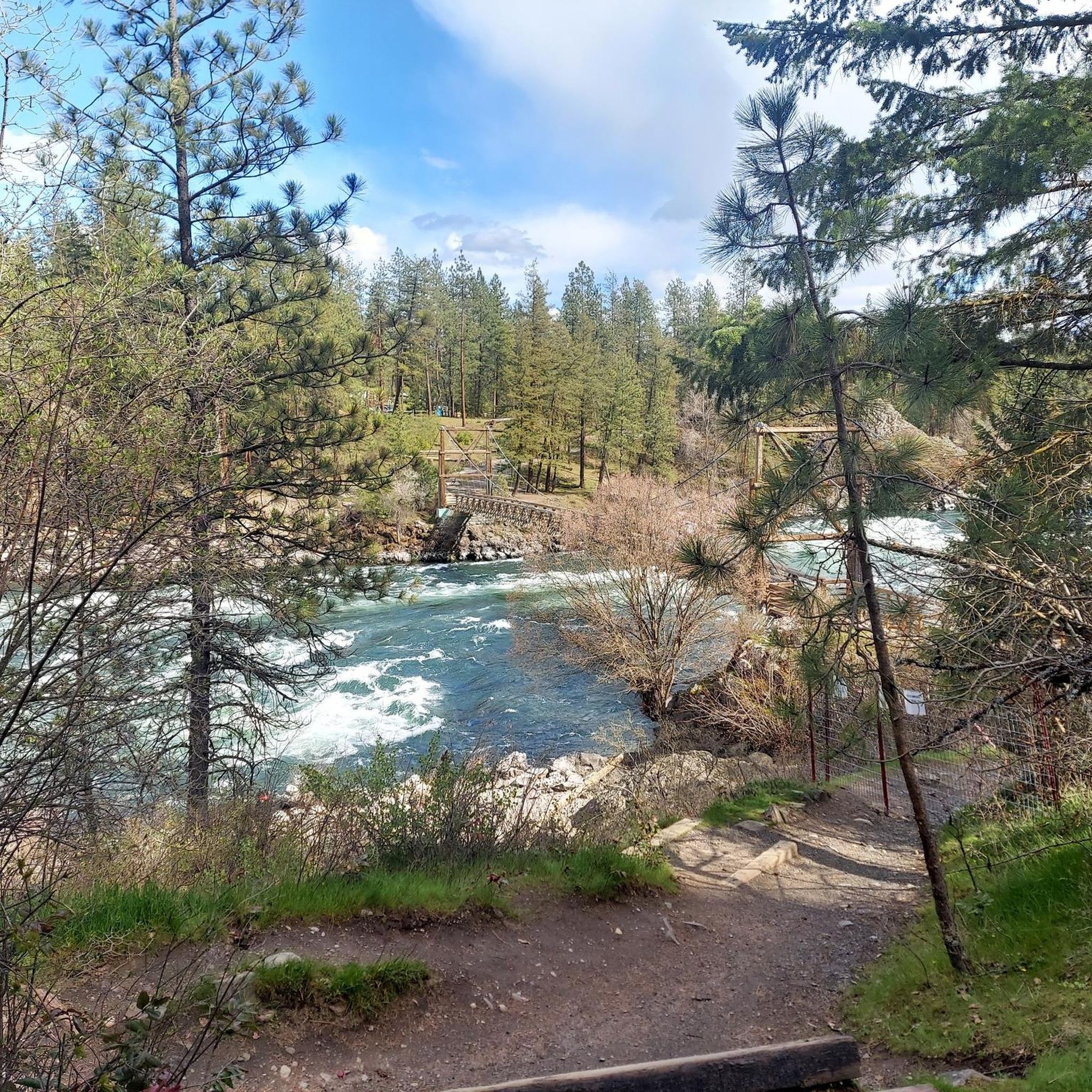
You get many views of the Spokane River from Trail 25, but some of them are quite removed from the water. This one is up close and personal with a section of mild rapids.
0
0

This area of the trail is known as "Bowl and Pitcher" because of basaltic rock formations that can be seen along the banks of the Spokane River that imaginative visitors have said resemble a bowl on its side in one area and a pitcher in another.
0
0
Trail 204 is a dirt road connector between Spokane River Centennial Trail and Trail 25 in Riverside State Park.
0
0

This trail is the longest trail in the Riverside State Park. Along this particular stretch, you'll be treated to breathtaking vistas of the iconic Bowl and Pitcher area. This name stems from the basaltic rock formation that resembles the shapes of a pitcher and a bowl.
0
0
This trail is very well maintained, featuring a smooth paved surface and minimal changes in elevation, making it perfect for a pleasant run. Throughout the journey, you'll be treated to breathtaking views of the Spokane River. There are several trails branching off from this one, providing ample opportunities for further exploration.
0
0
The Spokane River is about 111 miles long and flows into the Columbia River. The river is known for its massive salmon runs and for running through downtown Spokane.
0
0
This trail runs alongside the Spokane River, offering captivating views the entire trail. It's well-maintained and branches off to connect with several other trails, providing the option to extend your run.
0
0
Frequently Asked Questions
How many running routes are available around Airway Heights?
There are over 35 dedicated running routes around Airway Heights, offering a variety of distances and difficulty levels for joggers of all abilities. These routes are highly rated by the komoot community, with an average score of 4.2 stars.
Are there any easy running paths suitable for beginners or casual jogs?
Yes, Airway Heights offers several easy running paths. For instance, Landreth Park features 0.3 miles of paved walking paths, and Cleveland Park also has a short paved path. For a slightly longer, easy option, the Trail 102 - South Trail Green Loop is an easy 1.4-mile path with varied terrain and city views.
What kind of terrain can I expect on the jogging trails in Airway Heights?
The terrain around Airway Heights is quite diverse, influenced by the unique Channeled Scablands. You'll find everything from gentle, paved paths in local parks like Sunset Park to more rugged, varied terrain with elevation changes in areas like Palisades Park and the trails off Old Trails Road within Riverside State Park. Many routes also feature scenic river views along the Spokane River.
Are there any running routes that offer scenic views or natural landmarks?
Absolutely! Many routes provide stunning natural scenery. The Bowl and Pitcher Loop Trail is famous for its unique rock formations and river views. You can also find excellent viewpoints of the Spokane River, such as from the Views of Spokane River highlight, and the distinctive Bowl and Pitcher rock formations themselves.
Are there any loop running routes in the area?
Yes, Airway Heights and its surroundings feature several excellent loop running routes. A popular option is the Centennial Trail loop from Morin Trailhead, which is a moderate 8.4-mile (13.5 km) route. Another great choice is the Bowl and Pitcher Overlook – Centennial Trail loop from Morin Trailhead, offering a longer 9.1-mile (14.6 km) experience.
What are some points of interest or attractions I might see while running?
While running in the Airway Heights area, you can encounter several interesting points. Along the Spokane River, you might cross the historic Swinging Bridge or enjoy the Views of Spokane River. The Bowl and Pitcher rock formations are a notable natural landmark, and the Lower Spokane Falls Viewing Platform offers impressive sights.
Are there any dog-friendly running trails in Airway Heights?
Many of the outdoor areas and trails around Airway Heights are dog-friendly, especially within Riverside State Park and other natural areas. It's always a good idea to keep your dog on a leash and check specific park regulations before heading out, but generally, you'll find plenty of space for you and your canine companion to enjoy a run.
Are there any family-friendly jogging routes?
For families, the paved paths in local parks like Sunset Park and Landreth Park are excellent choices for a casual jog or stroll. These parks often have gentle elevation changes and amenities like benches and picnic tables. The Trail 102 - South Trail Green Loop is also an easy option suitable for families.
Where can I find parking for the running trails?
Parking is generally available at the trailheads of major parks and popular running areas. For example, Riverside State Park, which hosts several running routes, has designated parking areas. Some trails, particularly those off Old Trails Road within Riverside State Park ORV park, may require a Discover Pass for parking, so it's advisable to check in advance.
What do other runners enjoy most about jogging in Airway Heights?
The running routes in Airway Heights are highly rated by the komoot community, with an average score of 4.2 stars from over 10 reviews. Runners often praise the diverse landscapes, from the unique Channeled Scablands to scenic river views, and appreciate the variety of trails suitable for different fitness levels.
Are there any advanced or more challenging running trails?
Yes, for more experienced runners seeking a challenge, areas like Palisades Park offer trails ranging from steep and narrow to broad, with significant elevation changes and cliff-edge views. The trails off Old Trails Road within Riverside State Park also provide varied terrain and elevation for a more demanding run.
Can I access running trails using public transport?
While Airway Heights has local public transport, many of the more extensive running trails, especially those within Riverside State Park or Turnbull National Wildlife Refuge, are best accessed by car. It's recommended to check local bus routes and their proximity to specific trailheads if you plan to rely on public transport.
Most popular routes around Airway Heights
Most popular attractions around Airway Heights

Get inspired with the komoot mobile app


Explore more
Browse the best Running Trails & Routes in other regions.
